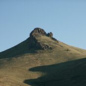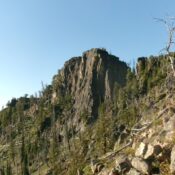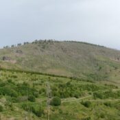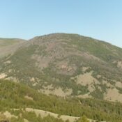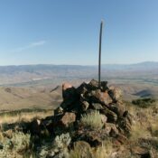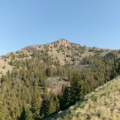
This peak is not in the book. Published October 2025 Peak 7764 is a Lemhi foothill that sits above Bear Valley Creek. It is most easily climbed from a spur road off of Bear Valley Creek Road via its south shoulder. USGS Hayden Creek Access From the hamlet of Lemhi (18 miles northwest of Leadore on ID-28), drive west on … Continue reading