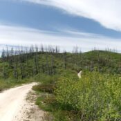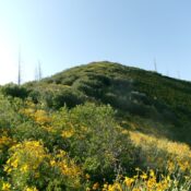
This peak is not in the book. Published October 2025 Peak 6273 sits at the headwaters of Corral Creek in the Boise Mountains. It is most easily climbed from a MC trail that comes up the Corral Creek drainage. USGS Twin Springs Access The Corral Creek trailhead is located along FSR-213 but is about 0.6 miles east of Corral Creek. … Continue reading