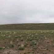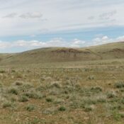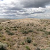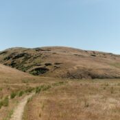
This butte is not in the book. Published October 2025 Buster Butte is located along Roland Road only two miles from ID-51 to its west. It is a sagebrush hump that requires some bashing to reach. USGS Buster Butte Access Roland Road (signed) is located along ID-51 exactly 0.4 miles south of Grasmere. Drive southeast on Roland Road (a well-maintained … Continue reading