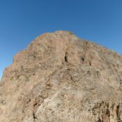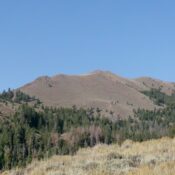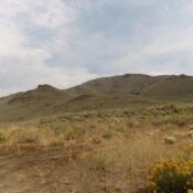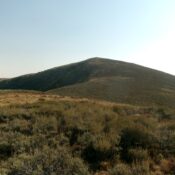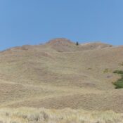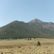
This peak is not in the book. Published November 2025 Peak 10273 is a beautiful, rocky peak that sits above the convergence of Kane Creek and Summit Creek in the Pioneer Mountains. It can be climbed either from Phi Kappa Creek Road to its west or from Kane Creek Road to its east. Peak 10273 is a steep, forested, rocky … Continue reading