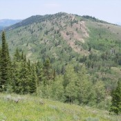
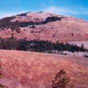
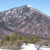
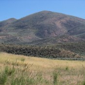
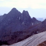
Mount Bush

Climbing and access information for this peak is on Page 164 of the book. Updated September 2019 A subsidiary ridge running east from the main crest north of Fishhook Creek contains 4 formations that were first explored and climbed by the Iowa Mountaineers. From east to west, these formations are Mount Bush, Mount Bruce, Harriets Pinnacle and Schwartz Pinnacle.  From … Continue reading

Litner Peak

Climbing and access information for this peak is on Page 123 of the book. Litner Peak is the highest point in the Litner Group. It is located at the west end of Ship Island Lake [FST-030 (H)(4.1.1.1) (a.2.1) on Page 144]. Little is known about the route. The first ascent was by L. Hales and P. Schoening in 1955. As … Continue reading

Samaria Mountain (Wood Benchmark)

Samaria Mountain viewed from the east.

This peak is not in the book but the Samaria Mountains are discussed on Page 357 of the book. Livingston Douglas added three photos to this entry. Updated January 2023 Samaria Mountain is identified by name on some maps but it has not been officially recognized by the Board of Geographic Names. The mountain is identified on the Samaria USGS … Continue reading

Soda Springs Hills by Livingston Douglas

The Soda Springs Hills are the southern extension of the [higher] Chesterfield Range located northwest of Soda Springs, Idaho. This group includes both Long Ridge and the Ninety Percent Range. This compact range is less than seven miles long from north to south and less than ten miles wide from east to west. The Soda Springs Hills are bounded on … Continue reading

Pruess Range

The Pruess Range is a subrange of the Peale Mountains and includes its main escarpment as well as Dry Ridge, the Gannett Hills, Freeman Ridge and the Sheep Creek Hills. The range forms the southern end of the Peale Mountains and is roughly 25 miles from north to south and 12 miles from east to west. The Preuss Range is … Continue reading