I carried a camcorder on this trip. All of the photos in this article were salvaged from the video. Unfortunately, the quality of the salvaged photos doesn’t do justice to the scenery we encountered.
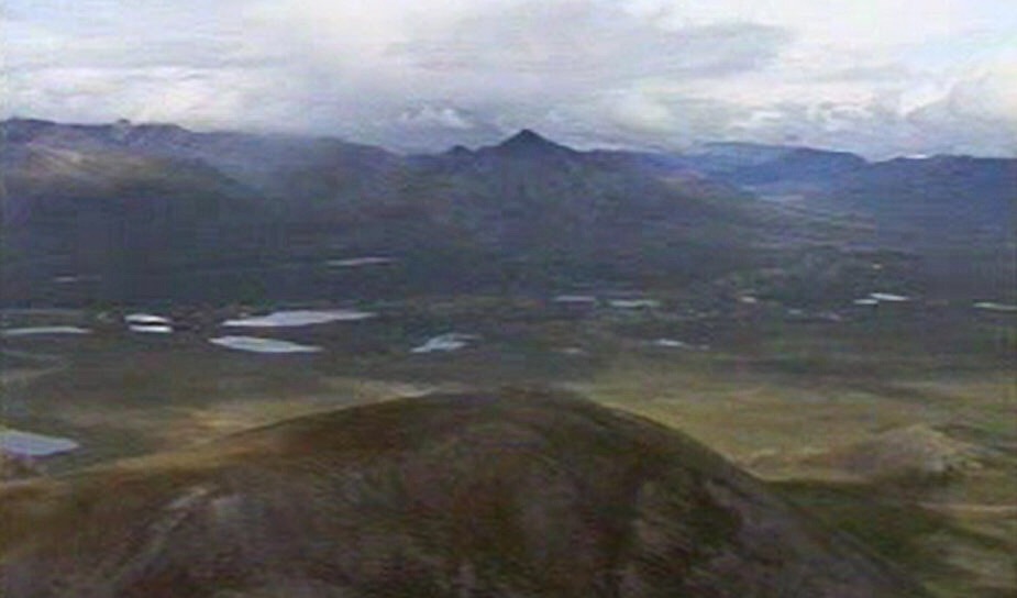
 The Brooks Range runs from east to west through Northern Canada and Alaska for over 700 miles. The range’s footprint covers nearly as much land as the entire State of Montana. The Arctic Circle slices through the range as does the Continental Divide. The highest peak is Mount Isto (8,976 feet). The range is mostly uninhabited and is only accessed by one road–the Dalton Highway and Trans-Alaska Pipeline System which crosses the range at Atigun Pass. As the concept of last frontier is commonly used, the range certainly qualifies.
Often my desire to visit a remote area comes from a book. This trip was no different. I was hooked on the idea of going to the Brooks Range after reading Alaska Wilderness: Exploring the Central Brooks Range by Bob Marshall, founding member of the Wilderness Society, namesake of the Bob Marshall Wilderness and Brooks Range explorer. Marshall spent more than 200 days exploring the central portion of the range in 1929-1939. He died at the age of 39 of a heart attack while riding a train between Washington and New York–an ironic way for this great wilderness advocate to die considering all of the remote, unforgiving country he crossed in his short life.
The portion of the range that I focused on was located in the Gates of the Arctic National Park north of Bettles, Alaska. This was the area that Marshall had explored and documented. The name “Gates of the Arctic” came from Marshall, who referred to the Frigid Crags and Boreal Mountain as “the” gates to the Arctic. As you might expect from such a massive area, no single description would cover all of the various mountains found within its boundaries. The National Park Service describes the section of the range found within the Park’s borders as follows:
“Wind, water, temperature, and glacial and tectonic actions sculpted wildly varied landscapes in this east-west trending part of the Rocky Mountains. Southerly foothills step into waves of mountains rising to elevations of 4,000 feet that culminate in limestone or granite peaks more than 7,000 feet in elevation. Then the ranks reverse at the Arctic Divide: Tundra stretches to the Arctic Ocean. Six national wild rivers – Alatna, John, Kobuk, Noatak, North Fork Koyukuk, and Tinayguk – and other waterways cross the park.”
My research lead me to Sourdough Outfitters in Bettles, Alaska who offered support for those wanting to explore the range. This company still has a website but is no longer listed as a licensed outfitter on the Gates of the Artic website. The employees we dealt with were professional and knowledgeable. It appears that Brooks Range Aviation is now the “go to” transport company in Bettles. While you could follow in Marshall’s footsteps and access the range cross-country from Bettles, flying into the range makes more sense given the vast distances involved.
If there is ever favorable weather in the range, July would be the best time to find it. From reading Marshall’s book, I learned that Summer temperatures are unexpectedly mild. Keep in mind that every thing is relative and much of the range is north of the Arctic Circle. I also read that the dry interior section of Alaska sees little snow. This means that Summer travel without snowshoes or dog sleds was feasible even north of the Arctic Circle. Nevertheless, the Park’s climate is classified as arctic and subarctic and even though Summers are characterized by low annual precipitation, rain and high winds are possible and conditions change rapidly. Like any Alaskan trip, you hope for good weather and pack for the worst.
There are no trails or visitor services in the park, which means that visitors must be self-sufficient and ready to overcome all hazards presented by the weather, animals and plants. The Park is a major range for the western arctic caribou herd. Grizzly and black bear, wolf, moose, Dall sheep, wolverine, muskox and fox are found in the Park’s mountains. The Park’s flora includes black-spruce forests called taiga (found on north-facing slopes and poorly drained lowlands) and Boreal forests which include white spruce, aspen, and birch (found on south-facing slopes). At treeline and north of the Arctic Circle, a shrub-thicket community of dwarf and resin birch, alder, and willows clog the ground. Treeline in this part of Alaska takes on the added meaning of the northernmost point where trees will grow. At higher elevations, alpine tundra communities are found on well-drained rocky ridges.
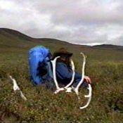
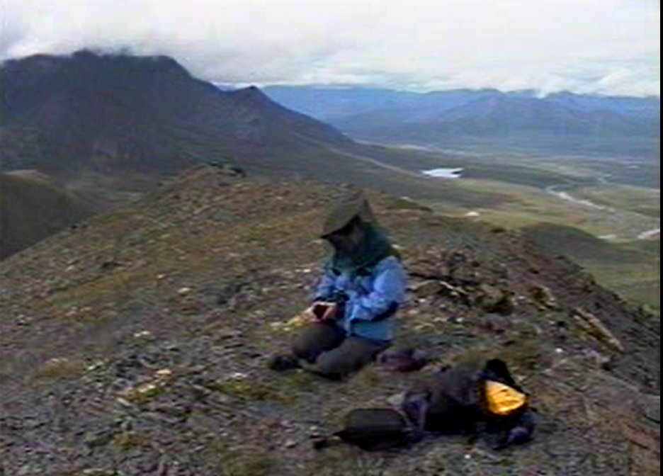
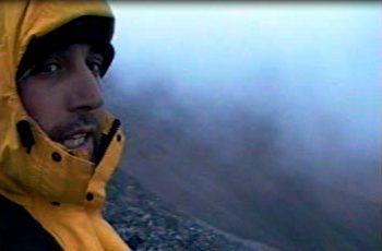
Our guide for the trip.
How did we choose our destination? First, it seemed important at the time to find a destination that was north of treeline so that we could experience the true Arctic. Second, I was looking for a place not only north of treeline but a location that had the potential for a loop hike. Marshall described traveling along the Kutuk River, so I started my search following that river north on the map. Marshall wrote:
“We passed last timber toward the close of our second day’s journey and made camp that night on a well drained flat among willows at a fork of the Kutuk River. . . . Next morning we set out to follow the left-hand and larger fork–the main Kutuk River– to the Arctic Divide. After three miles of splendid going over gravel bars which were as easy to walk on as a sidewalk, we came to a second large fork coming in from the right. We named it July Creek . . ..”
“We followed the main Kutuk to the left and found the going equally good. . . . We could now see ahead of us a low pass in the great mountains to the north, which we were sure must lead to the drainages flowing into the Arctic Ocean.” Alaska Wilderness, Page 91.
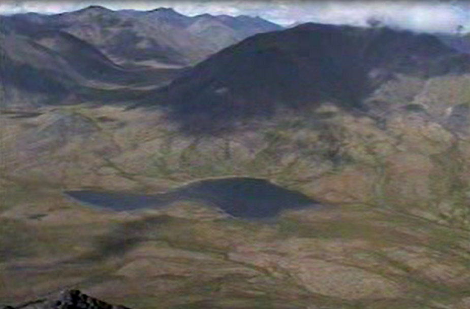
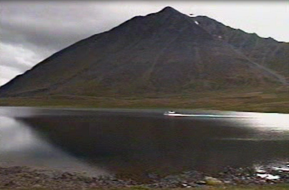
Marshall’s words had planted the Kutuk River firmly in my mind as well as the river’s headwaters ending on Kutuk Pass, a continental divide between the Pacific Ocean and the Arctic Ocean. Who wouldn’t find that enticing? I found the pass on a map and spotted a large lake (Folley Lake) nearly on top of the pass.
Third, I noted that just east of the lake was a triangular group of mountains with major drainages on all sides. There were a number of peaks in the group that looked like good objectives including 2 named peaks (Shivering Mountain and Kaviktit Mountain). It looked like a perfect location for a loop trip as we could use 3 major drainages and 3 passes as a line of travel. In addition, this route provided access to many peaks, always a plus.
Finally, Sourdough’s bush pilot told me that Folley Lake was a perfect spot for a landing as it was accessible even in rainy weather. After digesting all of this information, the decision was easy. Folley Lake would be our starting and ending place and we would make a loop around what I have since called the Shivering Mountains.
With an itinerary, a map and 2 accomplices (Dana Hanson and George Petrick), travel arrangements were made and we were soon off for Bettles, Alaska–the location of the National Park’s headquarters. We caught a regularly scheduled flight to Bettles on an 8-seat plane from Fairbanks. The flight itself was spectacular as we flew over the Yukon River and hundreds of miles of fireweed-encrusted hills. In Bettles, we stayed at the Sourdough Outfitters’ bunkhouse, took in the local scene, sampled the cuisine and did our final packing.
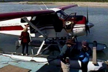
Loading up the de Havilland Beaver in Bettles.
The next day (July 18th), we were up early for our flight to Folley Lake. Sourdough Outfitters flew de Havilland Beavers (the ancient Canadian-built workhorses) to transport their clients. 1600 of these planes were built from 1947-1967. They can carry heavy loads, have great range and take off in short distances. Our pilot told us the one we flew in was recently rebuilt and was worth over $1 million.
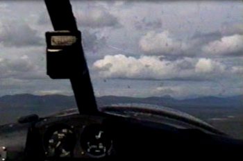
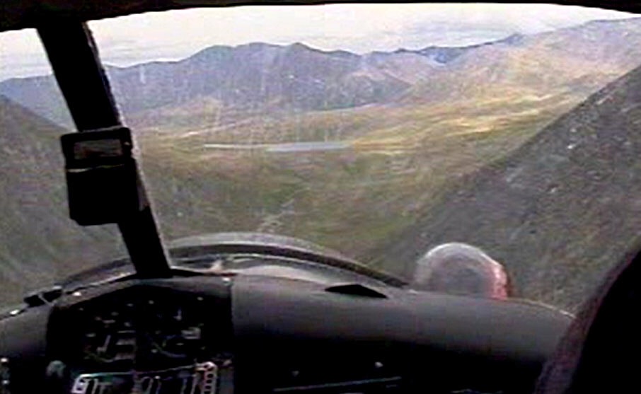
Flying north.
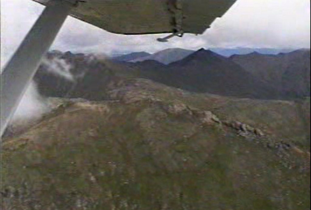
On our flight from Bettles to Folley Lake, we started out crossing low, flat terrain cut by long winding rivers and stunted forests. Our attention was focused on the dark mountains looming in the distance. Upon reaching the mountains, our pilot flew up the Unakserak River past many mountain peaks and ridges as we flew through rain showers and bumpy air. The mountains were a peakbaggers wet dream–so enticing but so inaccessible. The pilot landed the plane on Folley Lake in the smoothest of landings and taxied to the east shore.
Flying in.
Folley Lake is dead ahead.
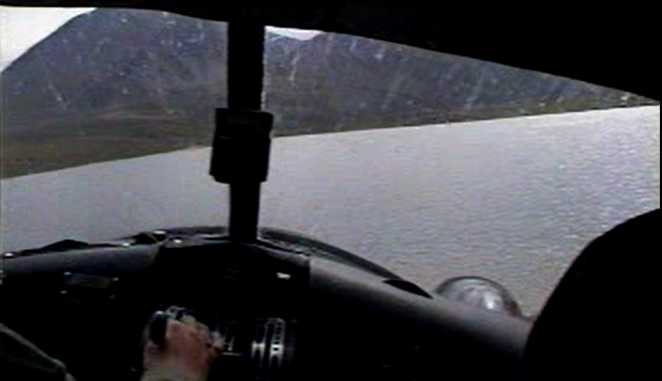
Coming in for a landing on Folley Lake.
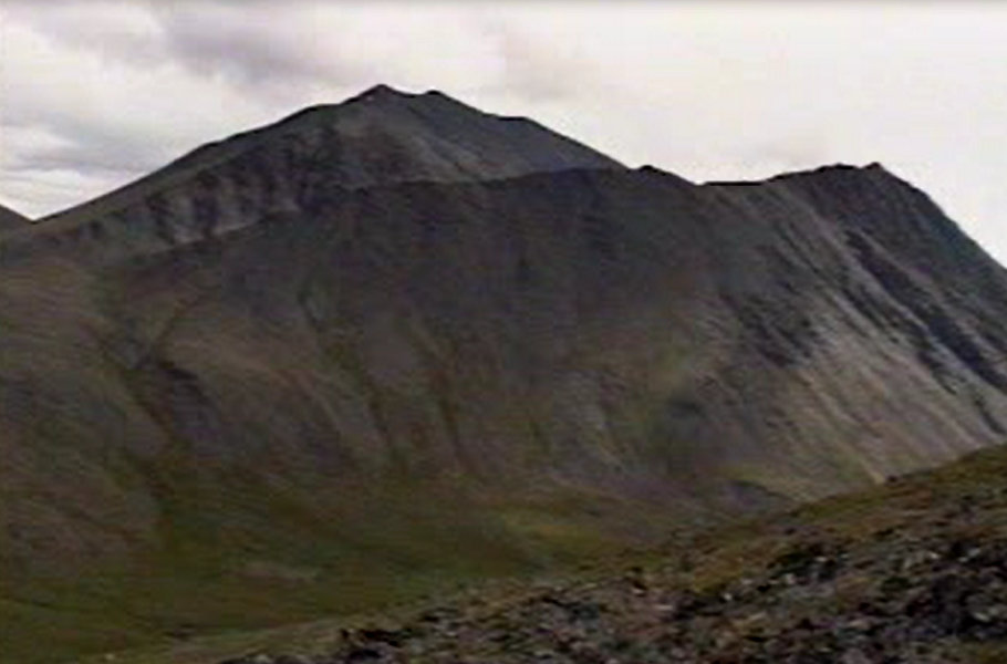
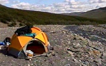
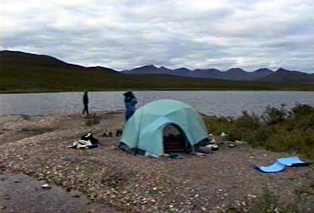
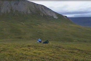
We found 6 people camped in 3 tents at the lake. They told us that the mosquitoes were terrible and they had decided to abort their backpacking trip. The mosquitoes at the lake WERE terrible. We hoisted our packs and climbed up to higher ground to take advantage of a breeze that chased the mosquitoes away. The afternoon temperature was nearly 70 degrees and the partly cloudy skies were interspersed with rain clouds. After setting up camp, we decided to climb a nearby summit (Peak 5807).
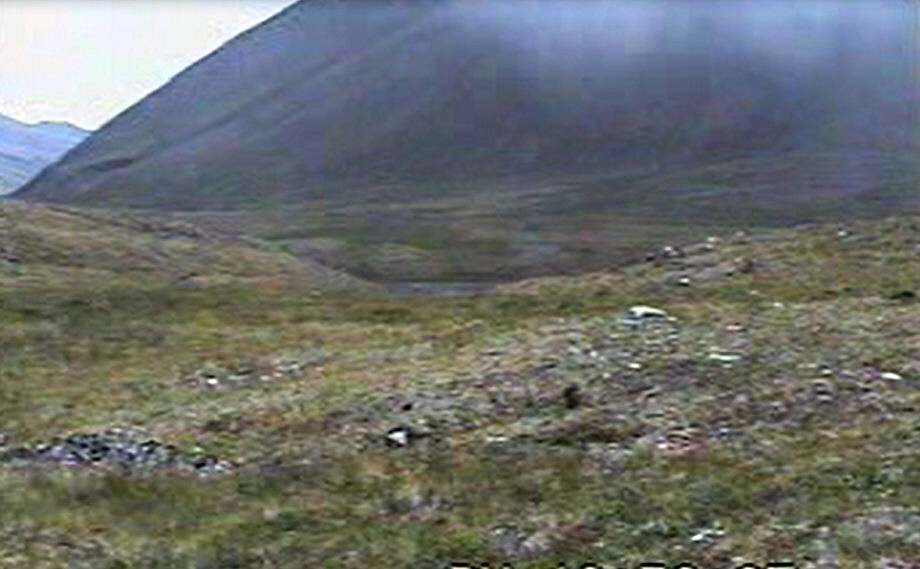
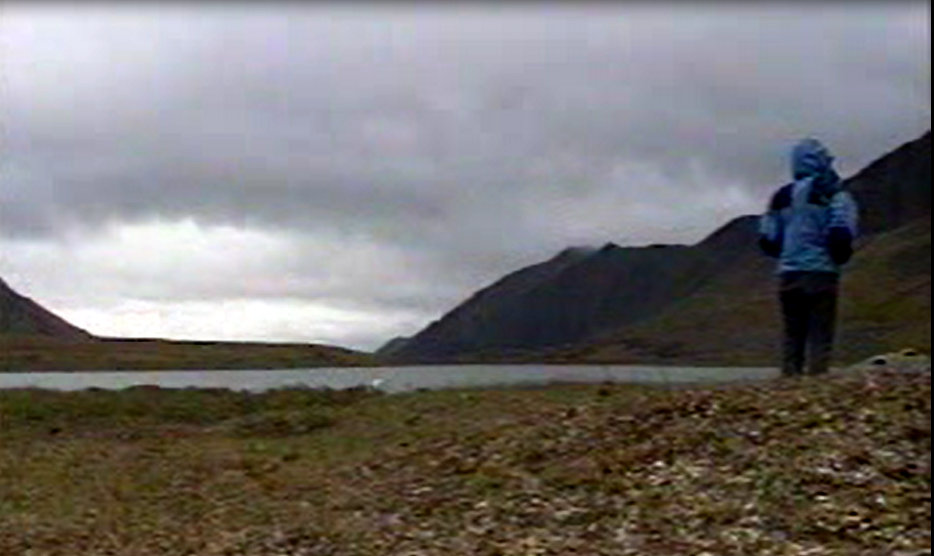
Our view from the first camp.
As we climbed up the peak’s North Slopes, the wind died and the mosquitoes came after us. We had counted on the wind to continue and foolishly left our hats with their head-protecting nets at camp. We were forced to climb with our parkas fully closed, hoods up and drawstrings pulled tight. We slowly marinated in our Gore Tex. Partway up, we spotted a couple of Dall sheep. The higher we climbed, the more defined the ridge became. The rock was broken shale and wild flowers were everywhere. The mosquitoes on the summit were incredible. They buzzed around us from head to toe, covered our coats and gave us pause to reflect on what the next 10 days might have in store for us. The Northeast Slope of Peak 5807 was a straightforward Class 2 scramble with no difficulties. We saw no evidence of prior ascents.
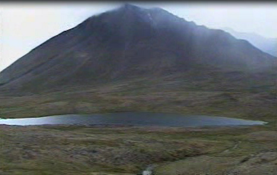
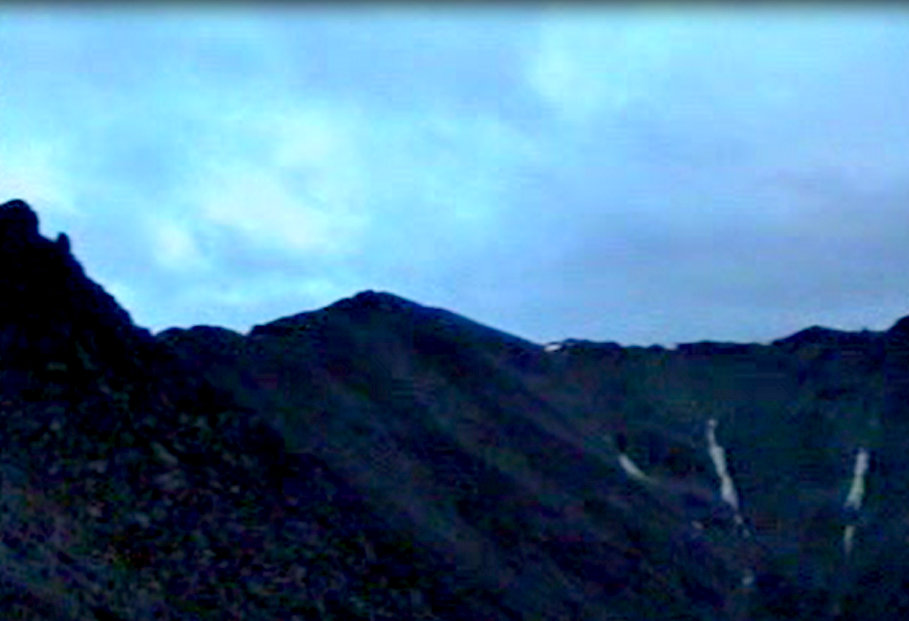
Folley Lake and Peak 5807. We climbed the ridge just left of center.
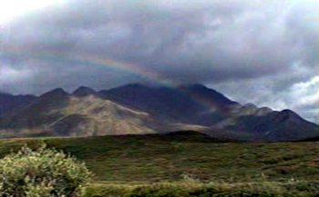
There was a pot of mosquitoes at both ends of this rainbow.
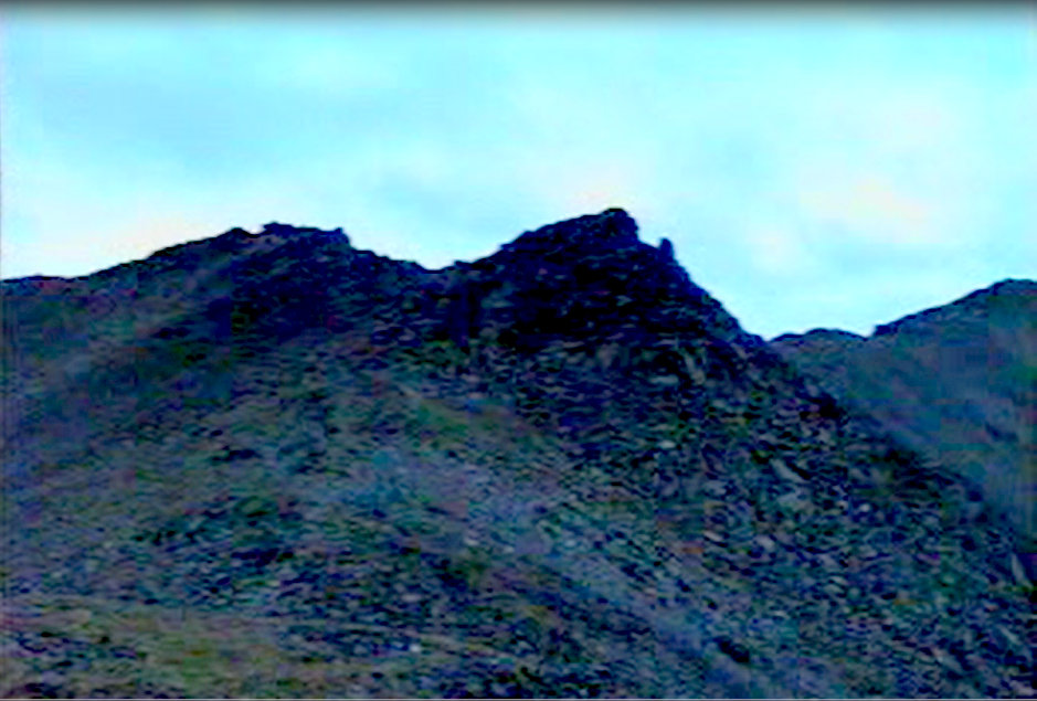
The summit of Peak 5807.
Encrusted with mosquitoes on the summit of Peak 5807.
The summit of Peak 5807.
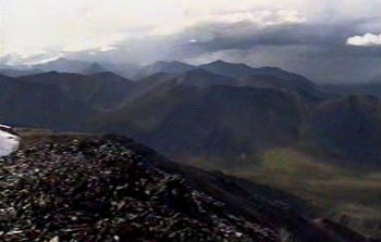
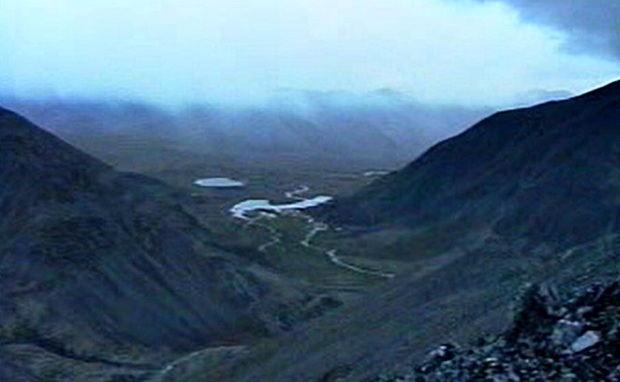
Folley Lake as viewed from Peak 5807.
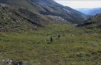
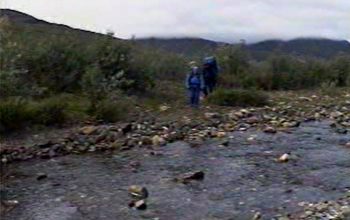
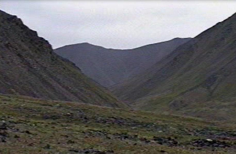
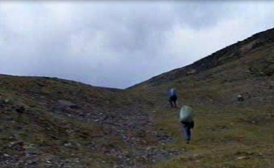
On Day 2, our goal was to reach the junction of the Kutuk River and July Creek, following Marshall’s path in reverse. We left our camp near Folley Lake and proceeded east over the pass at the head of the Kutuk drainage. Light rain came and went as we walked but, overall, the weather was good. At times, the willows made walking difficult so we would move above the river only to struggle with the uneven and unforgiving grass tussocks. Our preferred route always gravitated us back to the river bottom where we could move from one sand bar to the next. As we moved downstream, the river was low and we found the going easier.
It was clear, as we lost elevation descending the Kutuk, that finding a place that would accept a tent would be difficult because of the unevenness of the ground and the abundance of tussocks and alder. After hiking for 6 miles, we finally found a camping spot on a sand bar at the confluence of the Kutuk and July Creek where Marshall had passed 66 years earlier. The camp was in the riverbed and we could only hope it would not rain hard during the night and raise the river over the bar.
The first pass
Descending to the Kutuk River.
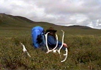
The only thing we saw of caribou were tracks and an occasional rack.
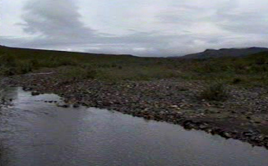
The Kutuk River
Every time I explore a new type of environment, there is a sense of uneasiness at first simply caused by my unfamiliarity with the enveloping environment. This far northern country, lit 24 hours a day, alive with mosquitoes and inhabited as it was by different flora and fauna, was a sensory overload. But by Day 3, I was feeling comfortable and energized by this powerful new environment.
Camp 2
We left sandbar camp early and followed July Creek north looking for July Lake. We must have crossed the creek 20 times. After a while, we surrendered to the stream and stopped trying to keep our boots dry. As we ascended July Creek, the vegetation got thicker and the creek got smaller and finally disappeared. We were in a broad valley, not sure where the lake was located. Finally, we had to detour up the hillside until we got high enough to spot the lake about a mile distant. From this vantage point, we decided to fight the tussocks and head straight to the lake. I estimate our distance that day at 5.5 miles, but it seemed twice that far.
Hiking up July Creek.
We found a lot of fresh tracks around the lake. One set was made by a grizzly. The imprint was bigger than a large dinner plate and 10 yards away from our camp. There were also caribou and wolf tracks and some sort of large cat. A cool breeze blew off the lake which kept the mosquitoes away. We had peaks all around us including Shivering Mountain to the northwest. Over a campfire, we discussed following Marshall’s route to its summit the next day. Marshall’s description of the climb was a classic lure that hooked me.
“I climbed a peak that rose a couple of thousand feet above July Creek, to map some of the neighboring drainages. Although I reached the top before seven o’clock in the evening, while the sun was still shining brightly, a cold wind had blown in from the north– so I called this peak shivering Mountain.” Alaska Wilderness, Page 92.
July Lake
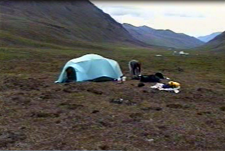
Camp 3 at July Lake
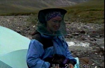
Dana enjoying her mosquito netting.
Day 4 arrived with low clouds and intermittent rain. What’s new about that? The weather today was just a bit more intense than each of the 3 previous days. Our route was now following the second leg of our planned triangle, running north along Easter Creek to Kaviktit Mountain. We decided to forget Shivering Mountain and head toward Kaviktit Mountain. We picked a route that would cross between 2 hills and keep us out of the boggy bottom land of Easter Creek. This route took us up along the side hills of the Shivering Mountains on a due north course. The views were expansive all day.
Several large lakes were tucked up against the mountains on the east side of Easter Creek. The farther we hiked, the wetter the land to the east became. The land between our line of march and those lakes looked like a giant bog. At times, the tussocks along this stretch were annoying but, for the most part, the going was easy. We walked along this northerly route for several miles. At the base of Kaviktit Mountain, we decided to turn west and cross a pass just south of the mountain.
North of July Lake.
Looking back toward Camp 2.
On the way to Kaviktit Pass.
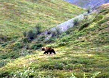
Climbing to the V-shaped pass turned out to be more exciting than we expected. As we approached the pass, we determined that the best route did not cross the low point of the pass. We needed to stay higher on the slopes of Kaviktit Mountain. As we crossed the South Slopes of Kaviktit Mountain (about 100 feet higher than the pass), we spotted 2 grizzlies. The bears were roughly as high on the slopes on the other side of the pass as we were on our side. The grizzlies both stood up and looked our way. I thought I was mentally prepared for grizzly encounters but it was a shock to finally stumble upon these 2 grizzlies.
The bears were unafraid of us and showed that they were curious about the intruders. Here we are above the Arctic Circle, no one knows our location, no way to communicate and a short distance away sit 2 large carnivores. Needless to say, we kept our eyes on the bears as we began our descent off the pass. As we descended, the bears also kept their eyes on us, mirrored our path and moved down the valley in concert with our track.
Grizzlies above Kaviktit Pass.
During the planning stage, we discussed the danger posed by grizzlies. Marshall had quoted his sourdough traveling companion Ernie Johnson on the subject:
“There is no question,” he said, crawling under the mosquito netting, “that a bear will sometimes attack a man, just like there are crazy humans who will do the same thing, but it happens so rarely it isn’t worth thinking about. I’ve traveled around Alaska as much as most men and I’ve never yet seen a bear that did anything except run away from me.” Alaska Wilderness, Page 88.
It sounded good on paper and I had no doubt that Brooks Range bears would be wild but that is a small consolation when you are facing a grizzly. George (perhaps more practical than I) brought a shotgun loaded with slugs which he slung over his shoulder whenever we were hiking. You are allowed to carry guns in this Park. I found the gun a little unnerving and wonder if it was any protection all. At any rate, about a half-mile down from the pass, we lost sight of the bears. We found a good campsite at about 3,000 feet. We walked about 6.5 miles from July Lake to this campsite.
Our camp that night was at the base of the West Face of Kaviktit Mountain. We had a nice dry spot above the creek with a view up, down and across the drainage. After dinner, we had our 2nd bear encounter as we spotted a grizzly 1/4 mile away. He was heading straight for us. George had his gun ready. However, when the bear got within a couple hundred yards, he turned away from us and soon disappeared.
Camp 4
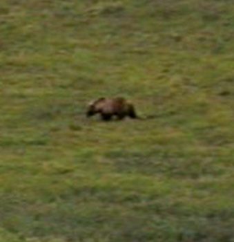
Grizzly bear near Camp 4.
We had rushed through our first 3 hiking days because we were not sure how difficult the cross-country travel would be. After 3 productive days, we decided that we had plenty of time to complete the trip and decided to take a rest day. Dana and I climbed Kaviktit Mountain (4,648 feet). I guess George was covering us from camp. Near the summit, we found a bear den. I had read that grizzlies hole up in their dens throughout the long Winter. Spotting the den blocking our path to the summit was a bit unnerving but both of us were peakbaggers so we pressed on. The den was empty. The view to the north of Easter Creek and its many lakes was wonderful. I remembered one of Marshall’s quotes:
“Anyone who has stood upon a lofty summit and gazed over an inchoate tangle of deep canyons and cragged mountains, of sunlit lakelets and black expanses of forest, has become aware of a certain giddy sensation that there are no distances, no measures, simply unrelated matter rising and falling without any analogy to the banal geometry of breadth, thickness, and height.”
Kaviktit Mountain as viewed from the west.
The summit of Kaviktit Mountain.
Easter Creek from Kaviktit Mountain.
Easter Creek as viewed from Kaviktit Mountain.
On Day 6, we decided to move camp down to Evil Creek, a distance of just under 3 miles. Evil Creek is not an official name but was a name used by the bush pilot. If you remember, we had planned a triangular loop hike. Folley Lake to July Lake was the 1st side of the triangle. July Lake to Evil Creek formed the 2nd side and Evil Creek was the 3rd side. This drainage would take us south back to Folley Lake and the completion of the loop. We only had 10-11 miles left and 5 days to cover the distance. In moving our camp to the junction of Evil Creek, I thought that we would have an opportunity to bag a few more peaks. Although we hoped there would be fewer bears, we saw 2 more bears albeit these bears were far away. This short hiking day gave us a chance to soak in our surroundings and get a feel for the valley. We found 2 highly-weathered moose carcasses near camp and 20 different types of wild flowers. The frequent bear sightings over the last 2 days kept us close to our camp.
On Day 7, we concluded that we had camped in a virtual “Bear Heaven” and that it was wise to hike to a higher elevation farther up Evil Creek above the alders and willows and have a more expansive view. Our route in the lower section of the drainage was funneled into the stream bottom. As we were crashing through a healthy alder thickets, I was in the lead when I came across a giant grizzly track in the sand. The track was filling with water. Dana came up behind me. I pointed out the track and then noticed that one of my footprints was filling up with water just as quickly as the bear’s track.
I deduced from this observation that the grizzly was only seconds ahead of me when I spotted the track. I heard nothing. The bear had moved silently and, for all we knew, was watching us. I doubt that George’s gun would have been of any use if the bear had attacked us in the alder. At any rate, we arrived safely at the highest lake in the drainage at an elevation of 3,800 feet. We had covered a distance of a little more than 7 miles. We found a nice campsite on a bench near the lake. We had a great view down Evil Creek and it looked like there were 5 potential peaks that we could climb from this spot. It started raining at about 4:00PM.
Looking down Evil Creek.
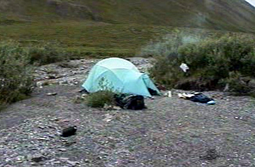
Camp 6 before the 51-hour rainstorm.
The rain that started the evening before continued into Day 8. While it had rained every day so far, this bout of rain was not conducive to activities outside the tent. Unlike prior days, this was a hard, incessant rain. It never stopped for more than 15 minutes during the next 51 hours. It was a rain of epic proportions, leaving us no option but to stay put. There would be no climbing today. I started to read Michener’s book The Covenant and finished the book at around 10:00PM. The rain continued. I have video of the rain beating on the tent walls so loud that we couldn’t hear each other talk.
On Day 9, morning came and went with no letup in the rain. The temperature hovered around 38 degrees. When would the rain end? The answer was around 7:30PM. Although it was still overcast and cool, it looked as though the weather system had moved off to the east. I had nothing to read. I was suffering from cabin fever. The peaks east of our camp were calling me. Dana and George thought I was crazy. “You’ll run into a bear walking in the low light,” Dana said. Cabin fever being what it was, I nevertheless decided to climb a peak. The Alaskan Arctic Summer’s 24 hours of light provided enough light filtering through the cloudy sky to see the route clearly. Of course, every shadow looked like a bear and I fully expected to run into a grizzly. It did not matter. I came to climb and so I climbed.
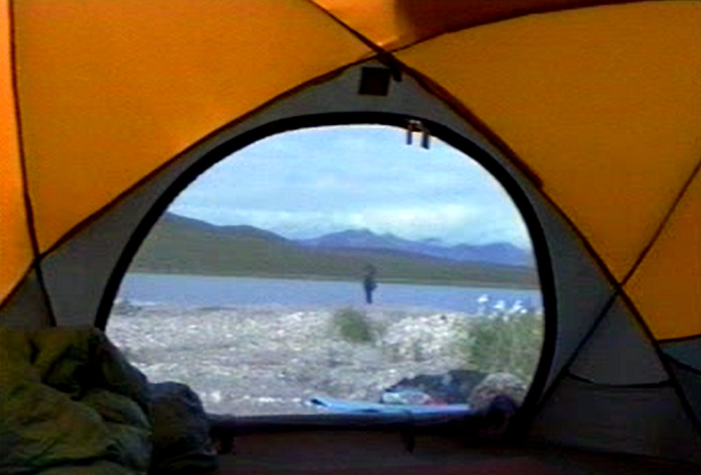
This lake was the site of our final camp. The 51-hour rainstorm raised the level of the lake by at least 6 inches.
I crossed from the lake to the peak’s West Slopes and headed up toward the ridge top above. After surmounting the ridge crest, I could see the route ahead of me. As if the rain had not been enough, a snow squall and blustery winds hit me. The West Ridge had Dall sheep tracks and a fair game trail much of the way. As the wind howled and the temperature dropped, I wondered why I left my pile jacket back in camp. The mid-portion of the ridge was knife-edged Class 3 climbing but the last section moderated, and I arrived on the summit of Peak 6181 at 12:18AM on July 28th. I was elated! The clouds flew by rapidly and, during the fleeting moments I had a clear view, I could see water flowing prodigiously all through the valley. Fresh snow frosted the higher peaks. I built a cairn and began an uneventful descent.
Peak 6181 is just left of center. It never got dark during our trip but at midnight (with overcast skies), it was not bright. The camcorder tends to make the daylight appear brighter than reality.
Climbing the West Ridge of Peak 6181.
On the summit of Peak 6181 just after midnight.
Looking toward Kutuk Pass from Peak 6181.
I was back in camp by 2:30AM on what was now Day 10. Dana and George were sound asleep. I slept for a few hours. Fearing the rain would start again, we packed up and continued our hike to toward Folley Lake. It was a bit of a hump over the intervening pass but the distance was only 3.5 miles. We were scheduled for a pickup the next day but, as we were setting up camp, we saw a familiar de Havilland Beaver break through the clouds and descend down for a landing. Given the unstable weather, it was a no-brainer to fly out a day early and avoid the possibility of getting stuck at Folley Lake for who knows how long. The pilot was unloading a group of fishermen. I ran down to the plane and told him that we were ready to fly out.
Crossing the last pass at the top of the Evil Creek drainage.
The arrival of our departure plane at Folley Lake.
Taking off in less than ideal conditions.
Back in Bettles, we enjoyed a shower and a good meal. Bob Marshall summed it up best at the end of the first chapter in his book Alaska Wilderness:
“Adventure is wonderful, but there is no doubt that one of its joys is its end. That night, sitting in a dry room by a warm fire, we felt a pleasure unknown to anyone who has not experienced days on end of cold and soggy travel. Later lying in bed with no rising rivers, no straying horses, no morrow’s route to worry about, we enjoyed a delightful peacefulness.” Alaska Wilderness, Page 30.
The Brooks Range is by far the wildest place I have ever traveled through. We covered 40 miles, all without a trail. The walking at lower elevations was hard because of the alders and the tussocks but not overly difficult. Like all of my Alaskan adventures, the weather played a major part in the experience. The route we picked avoided the boggy lowlands and major rivers. I suspect that a major river crossing in the Brooks Range presents more objective danger that the grizzlies. The arctic mosquitoes demand your attention. Repellents are not sufficient. Mosquito netting head gear and gloves are necessary.
Ironically, the rain and the wind are welcoming companions because they keep the mosquitoes at bay. The peakbagging opportunities on both sides of our route were almost unlimited. We bagged 3 peaks but could have easily done more with better weather. While it takes a bit of time to get acclimatized to these mountains, they are mountains similar to the Rocky Mountains, just not as accessible. We only touched one small spot of this massive range. The sedimentary mountains and the deep valleys were pristine wilderness. There are many places to explore, from the well-known Arrigetch Peaks to Mount Doonerak to a thousand other places mapped and unmapped. The range is an absolute wilderness to be protected forever as Bob Marshall recommended.
Next: Wind Rivers