The last time I visited the Wind River Range was in 1997. The trip was grandly conceived. Dana, my wife at the time, and I had made six extended backpacking trips in the range between 1981 and 1987. During the following ten years we had every intention of returning to the Wind River Range but every year we found somewhere else to climb. At the beginning of 1997 we vowed to return.
The goal was to visit the remote area surrounding Bonneville Peak in the central part of the range. A cast of supporting characters was assembled in the hopes that their presence would create a buffer between the warring parties. I invited my sister Sandy and her son, Josh, to accompany us. Sandy had joined us on three previous Wind River trips before Josh was born. We also invited my friend Jay from Miami and our frequent climbing companion Basil along.
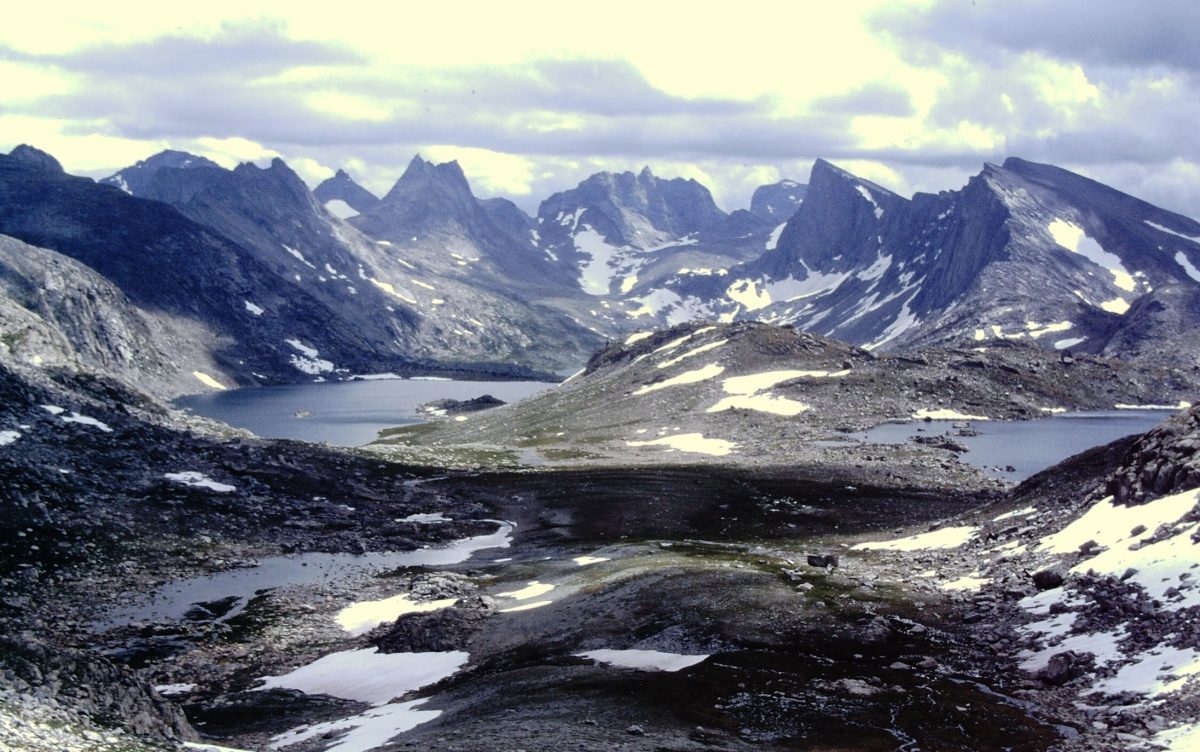
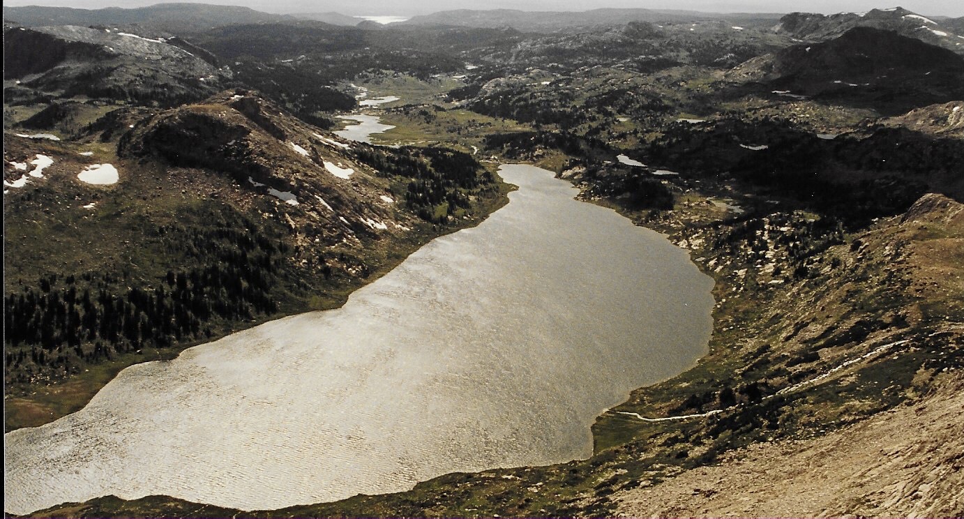
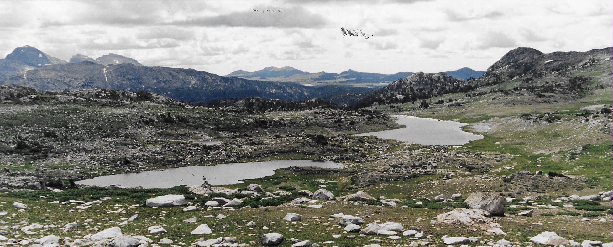
The Middle Fork Lake basin.
8/9 to 8/15 Wind River Trip -— Middle Fork Lake Area.
Our earlier trips into the range started at the three most popular trailheads, Green River Lakes, Elkhart Park and Big Sandy Opening. We decided to start this trip at the Scab Creek Trailhead and hike into Middle Fork Lake which was surrounded by big, enticing peaks. We planned a loop that covered 40 miles which seemed reasonable for the seven nights and eight days we had available. The itinerary had enough non backpacking days to allow the ascent of several peaks.
On August 14th, Dana and I picked up Basil in Pocatello and drove to Pinedale, Wyoming. Jay arrived in a rental car from Salt Lake City and Josh and Sandy arrived from Denver. Everyone was excited. We had a pre-trip meal at a pizza joint. American cheese was included on the pizza topping at no additional charge.
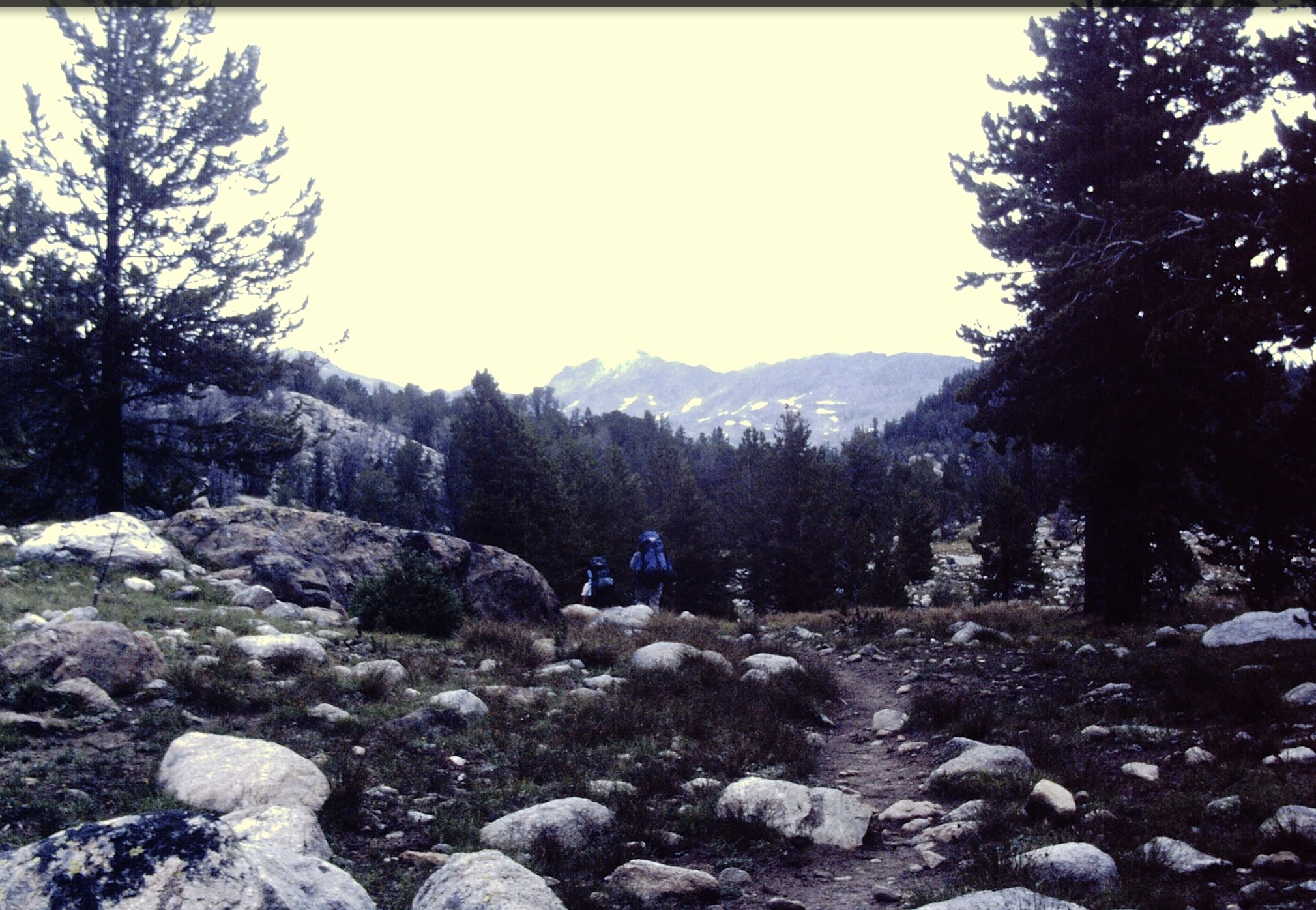
Day One: Scab Creek Trailhead to Crescent Lake. 9.5 miles.
The first day involve a long hike. Since Jay was only to days from his sea level home in Miami and because Josh was only 11 years old, I hired a packer to haul Jay, Sandy and Josh as well as their equipment to our first camp. I thought this would give them a chance to acclimatize to the elevation and terrain.
We arrived at the trailhead and met the two wranglers and their pack animals. The man and woman were extremely efficient and had everything packed in no time. Dana, Basil and I did not take advantage of the opportunity. We pulled on our packs and started up the trail. We managed to stay ahead of the pack train for roughly five miles.
After we were passed we slowed down and enjoyed the walk. When we reached Crescent Lake the wranglers had already set up the group camp. The rest of us set up our tents and waited with keen interest as the wranglers prepared our steak dinner. Well fed everyone one was in high spirits.
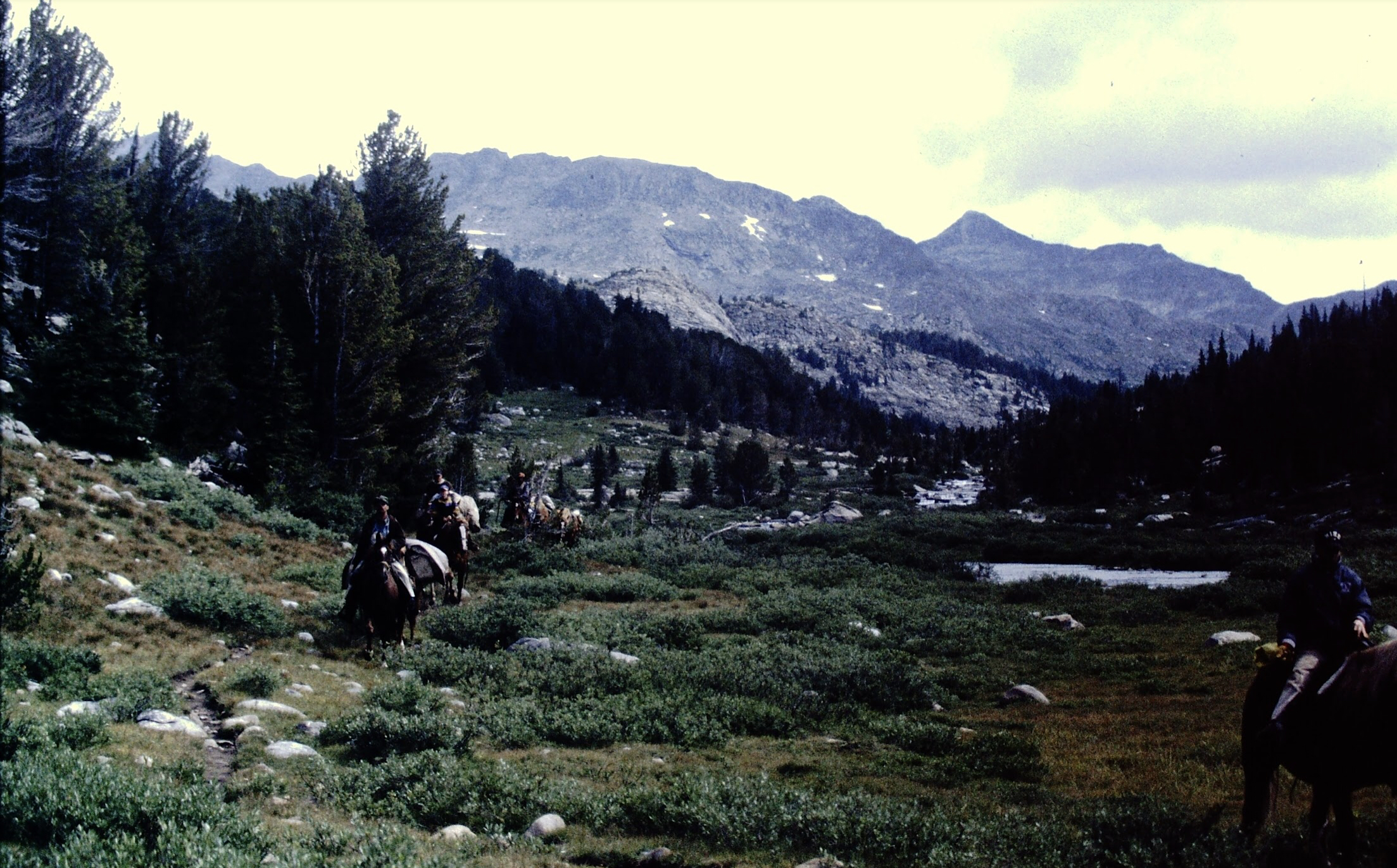
Traveling with the outfitter.
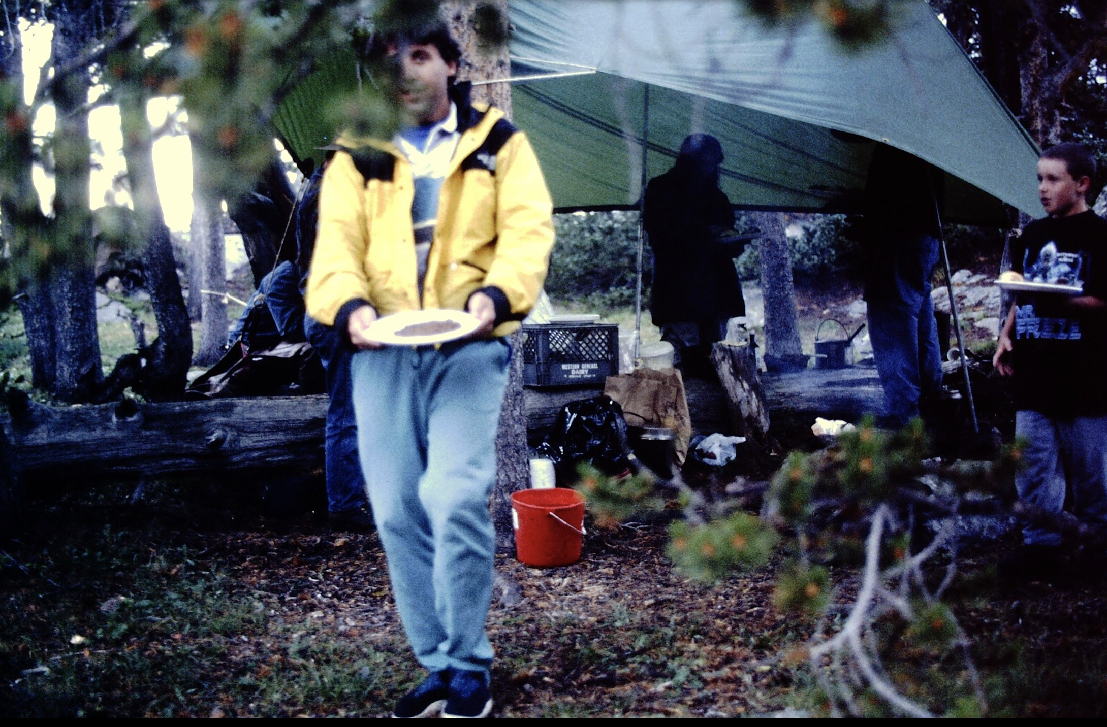
A freeze dried meal cannot beat a meal prepared by an outfitter.
Day Two: Crescent Lake to the Middle Fork of Boulder Creek near Sandpoint Lake. 3.0 miles. Pouring rain.
Morning dawned still, overcast and cool. We were once again treated to a feast, this time bacon, potatoes and eggs. It was quite late in the morning when breakfast ended. We packed up, said goodbye to the wranglers and started up the trail. Our planned destination was Halls Lake.
The sun soon disappeared and it started to rain lightly. The farther we walked the harder the rain fell. The temperature crashed. All of us were getting quite wet. Sandy and Josh didn’t have the best rain gear and were shivering. When we reached Sandpoint Lake, I decided we had to set up camp before someone suffered hypothermia. Everyone pitched in and the tents were soon up. Dana heated water for hot chocolate. The rain continued the rest of the day and into the night. Although we had only traveled three miles, I felt like it was a great experience with the mountains demonstrating that you have to be humble and prepared to survive.
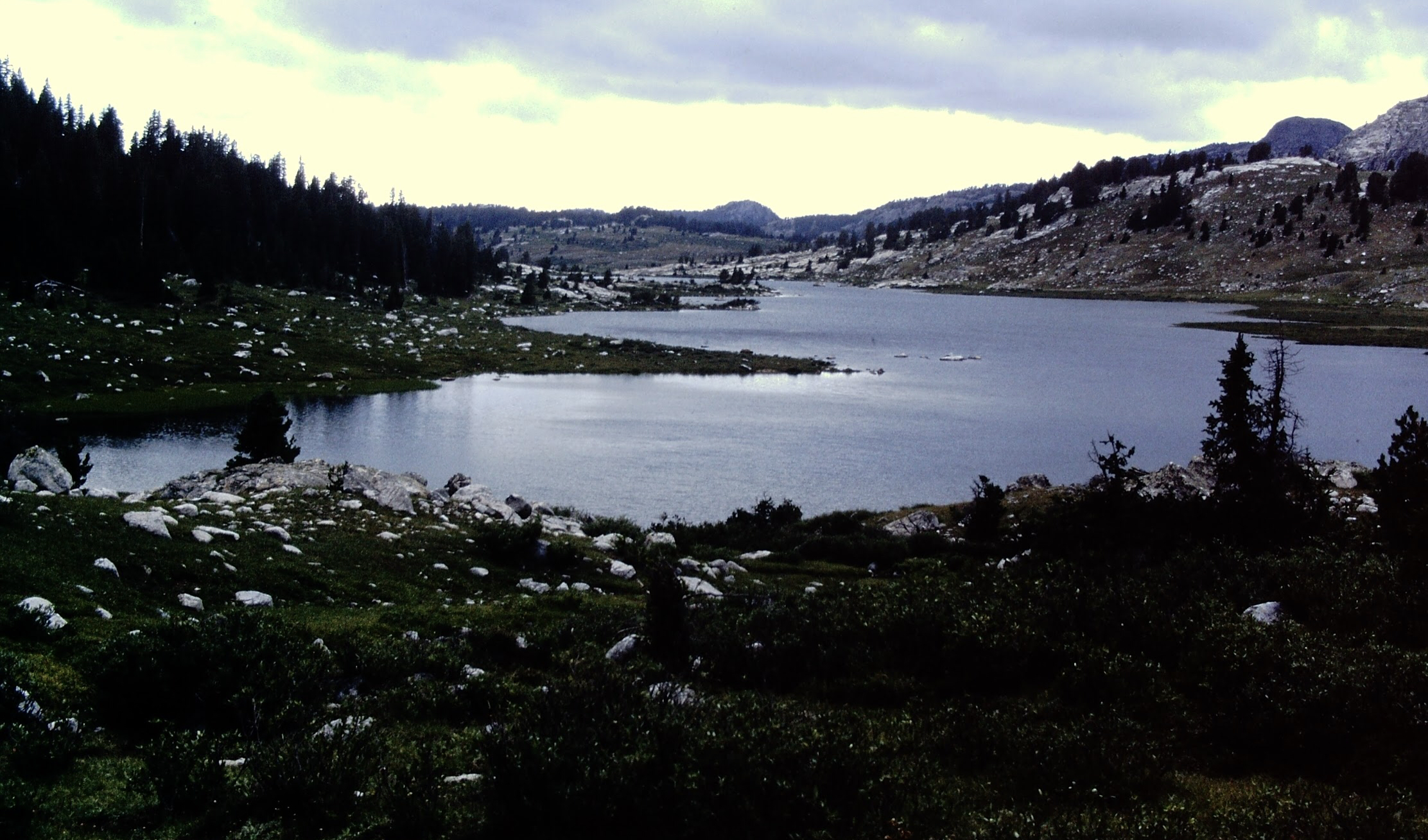
Middle Fork Lake.
Day Three: Middle Fork to Halls Lake. 4.0 miles.
When we planned the trip, I thought the last four trailless miles to Halls Lake would be the crux. The lake sat in a large basin east of the Continental Divide at 10,602 feet. To reach it we would have to leave the trail up Boulder Creek at roughly 10,000 feet and climb crosscountry over a trailless 11,760 foot pass before dropping down to the lake.
The rain stopped around 4:00am. Everything was wet. We ate breakfast and packed. The crosscountry part of the hike turned into the best four miles of the entire trip. The route was not too difficult with good footing and few obstacles. We reached Halls Lake and set up camp. It soon became clear that it was going to rain again. This time instead of a continuous deluge we were treated to a rocking good Wind River Mountains thunderstorm. Between the storms Basil fished and the rest of us we enjoyed the scenery. Dana and brought ingredients for tacos, ground beef, salsa, tomatoes, tomatoes, lettuce and tortillas. The fresh food was a hit and I think everyone was starting to, prematurely, forget the rainy conditions.
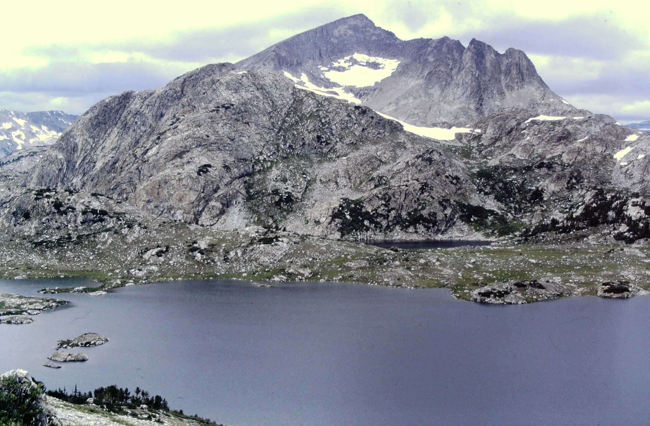
On the way to Halls
Lake.
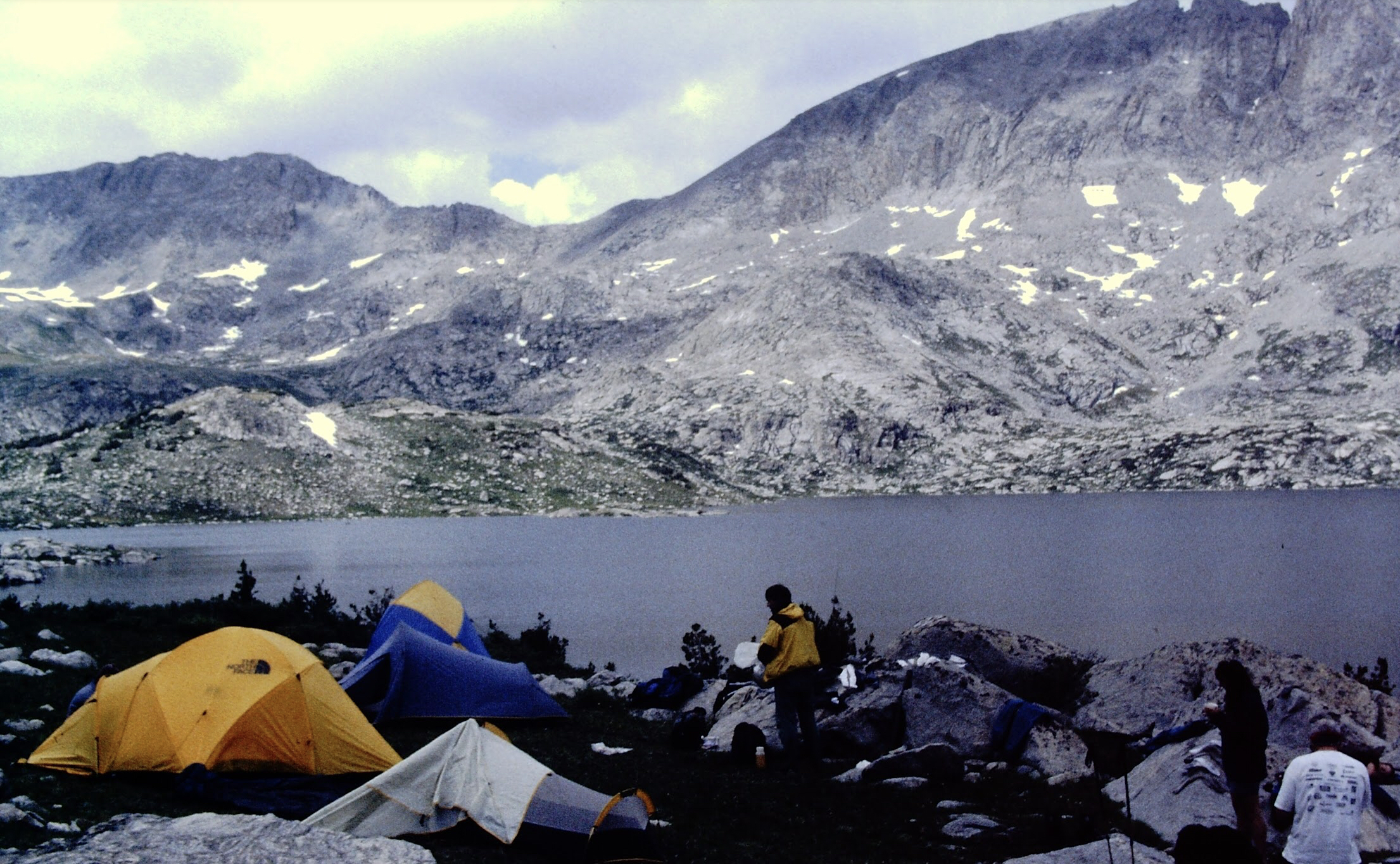
Halls Lake camp.
Day Four: Weathered in at Halls Lake
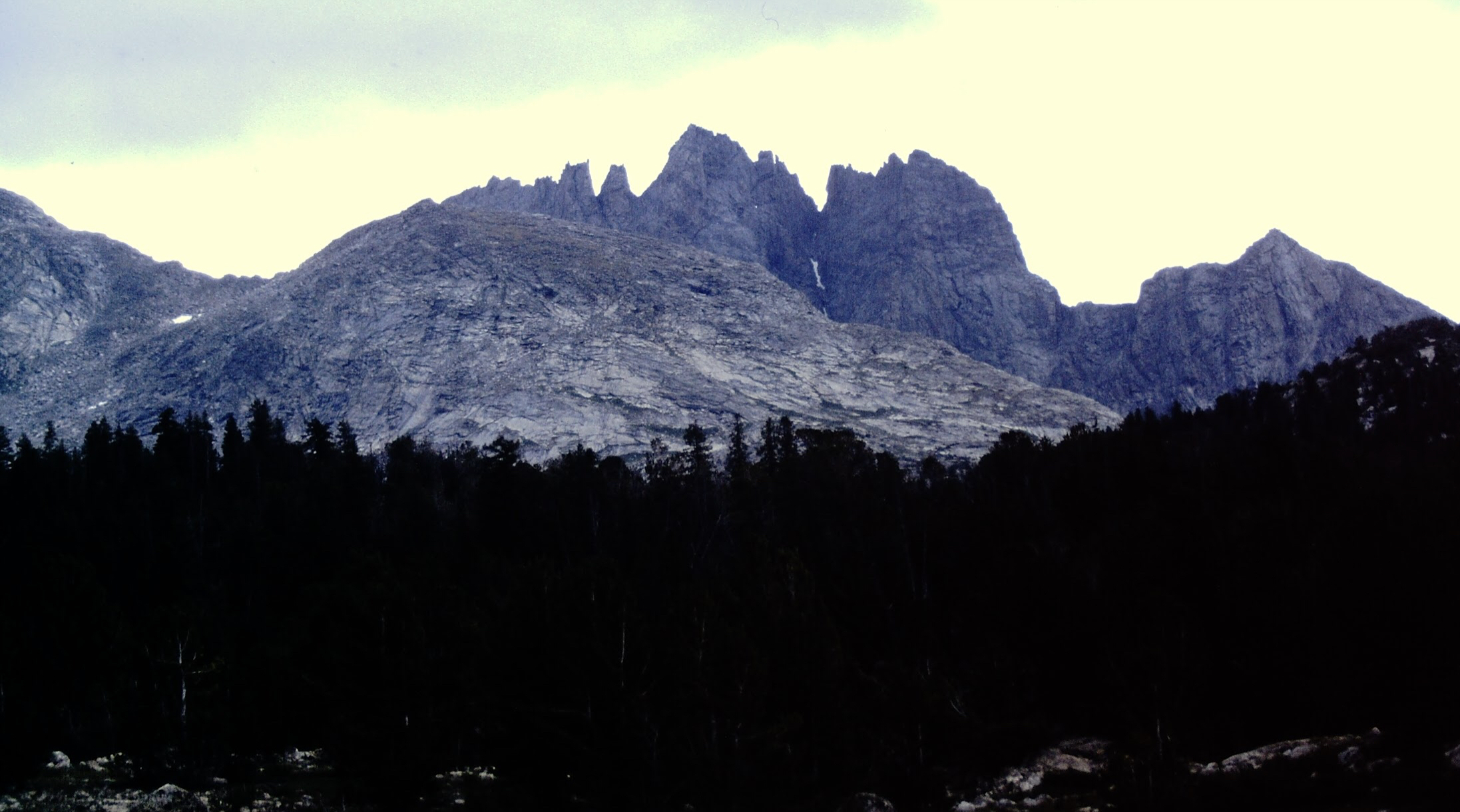
We awoke to another unsettled day at Halls Lake. After some discussion we decided to stay put. In between rain storms Dana and I climbed Medina Mountain, 11,541 feet which is located due west of Halls Lake.
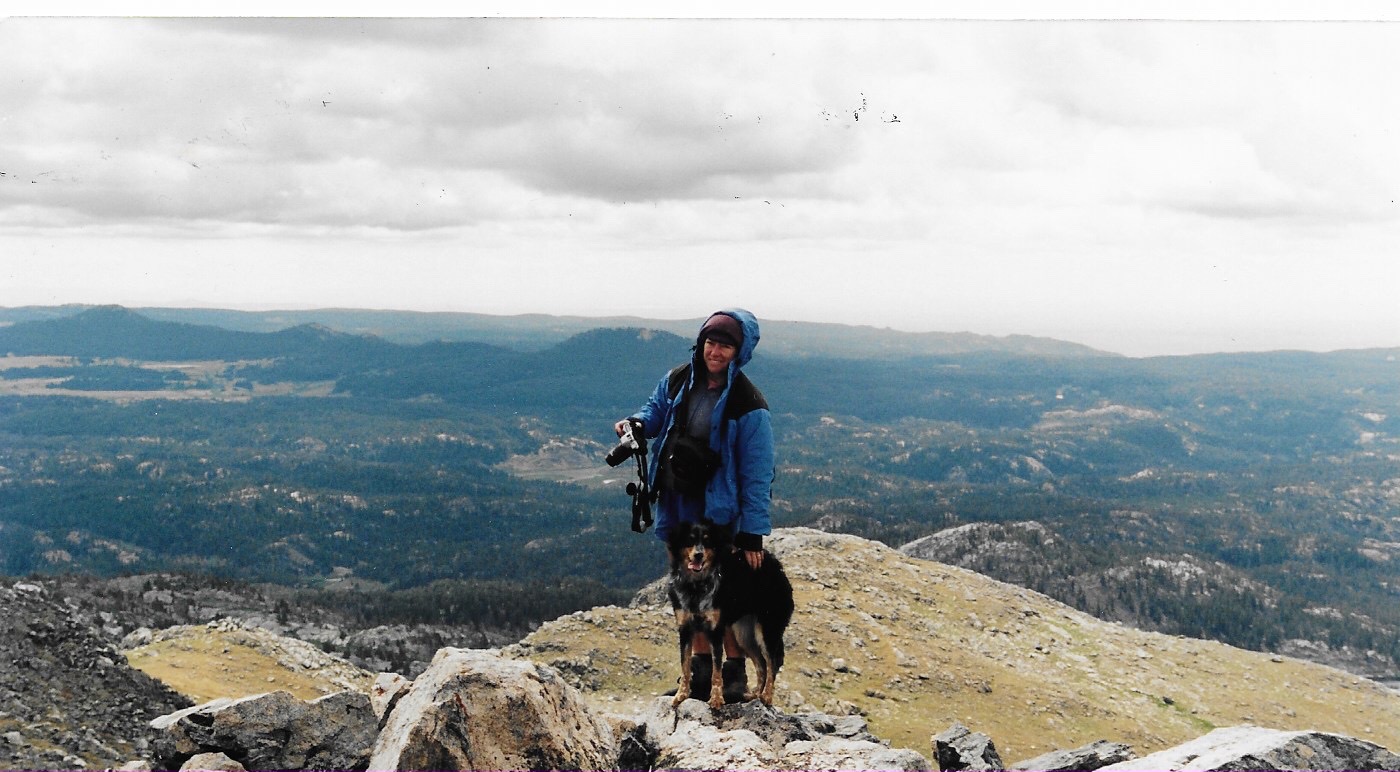
The summit of Medina Peak.
Day Five: Halls Lake to Middle Fork Lake and climb of Kagevah Peak 12,127 feet.
Although cloudy, this day showed promise of clearing as the clouds were overhead streaming by quickly . The sky continued to clear as we made breakfast. It was cold and breezy but still much better than the rain. We packed up and made the easy crosscountry trek to Middle Fork Lake. It took a while but we managed to find a sheltered campsite between large granite boulders.
I wanted to take advantage of the improved weather and climb a peak. When no one volunteered to join I took off on my own. I hiked the trail to Kagevah Pass and then hiked up Kagevah Peak’s broad west ridge to the 12,127 foot summit.
In the evening the sky clouded up again. We decided that we would cut a day from the trip and start hiking back toward the Scab Creek Trailhead in the morning. We were 16 miles from the trailhead. I hoped to do as much as possible so we could get out early morning the final day. Little Divide Lake was the destination I recommended.
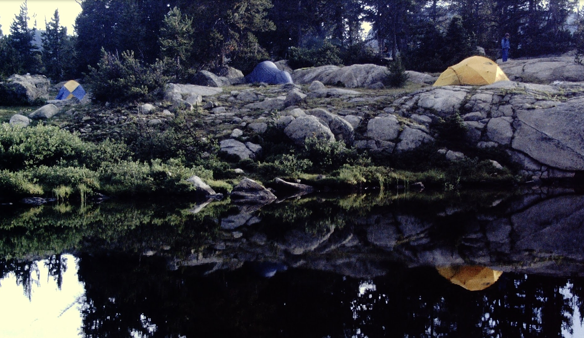
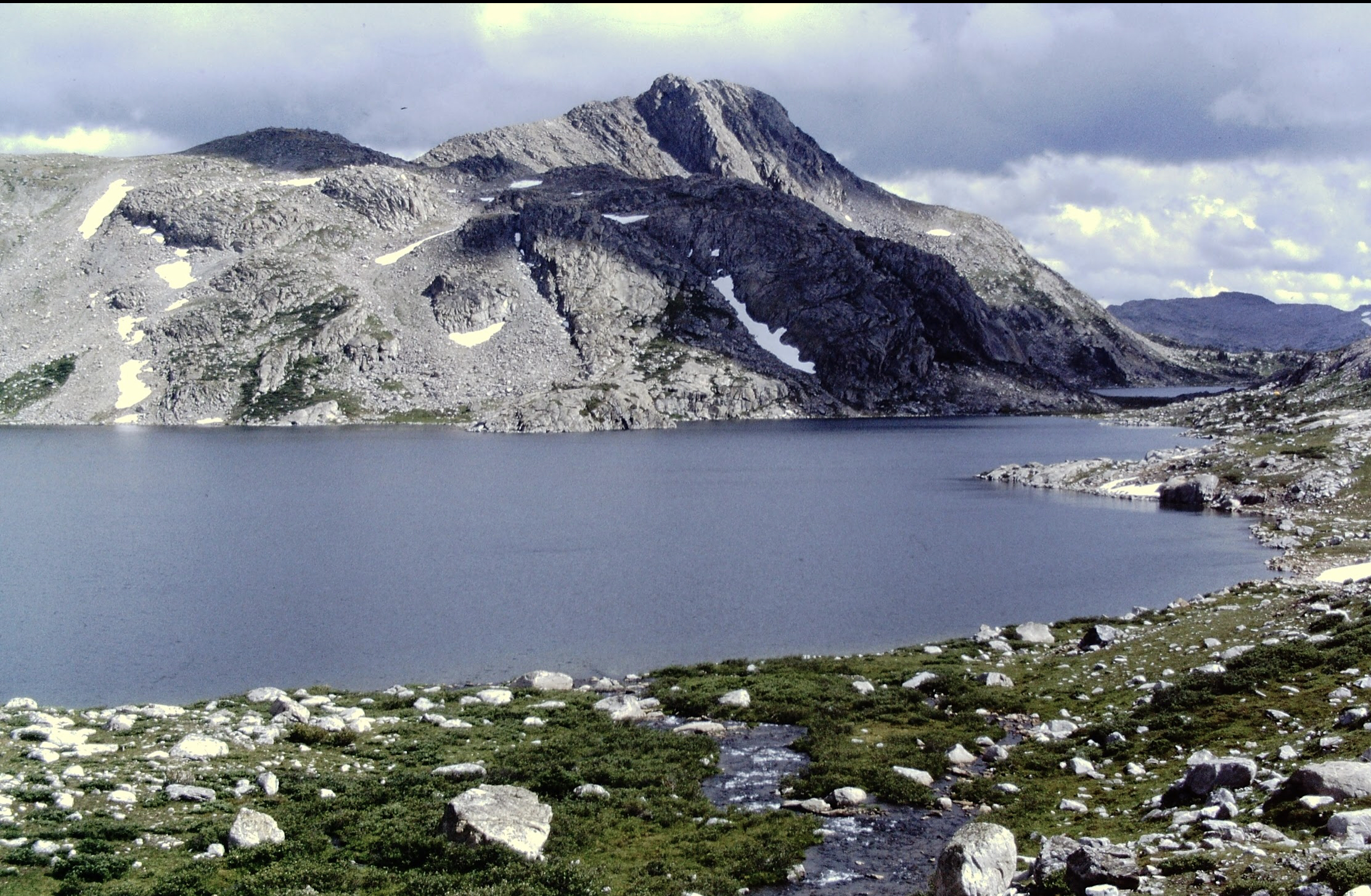
Middle Fork Lake camp.
Middle Fork Lake from near Kagevah Pass.
Day Six: Middle Fork Lake to Little Divide Lake via Rainbow Lake.
I reached the crossing of the South Fork Boulder Creek. A single log crossed the swift flowing water. I started across, lost my balance and fell in. My heavy pack pushed me completely under. My immediate response was a second of panic. My second response was to get out of the stream. I popped my head out of the water, got my feet underneath me and dragged myself up onto the shore. Dripping water I walked on toward Little Divide Lakes.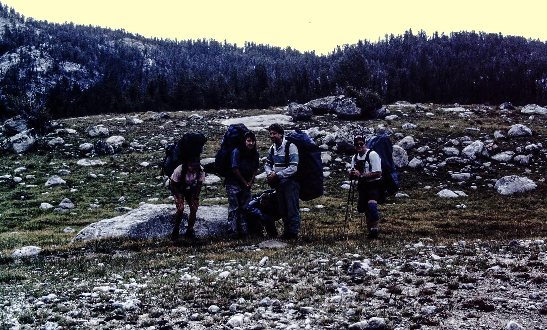
Day Seven: Little Divide Lakes to trailhead. 6.0 miles.
We awoke to a beautiful sunny day. The hike out was uneventful. I beat everyone out. I waited in the truck listening to Pink Floyd’s Dark Side of the Moon album.
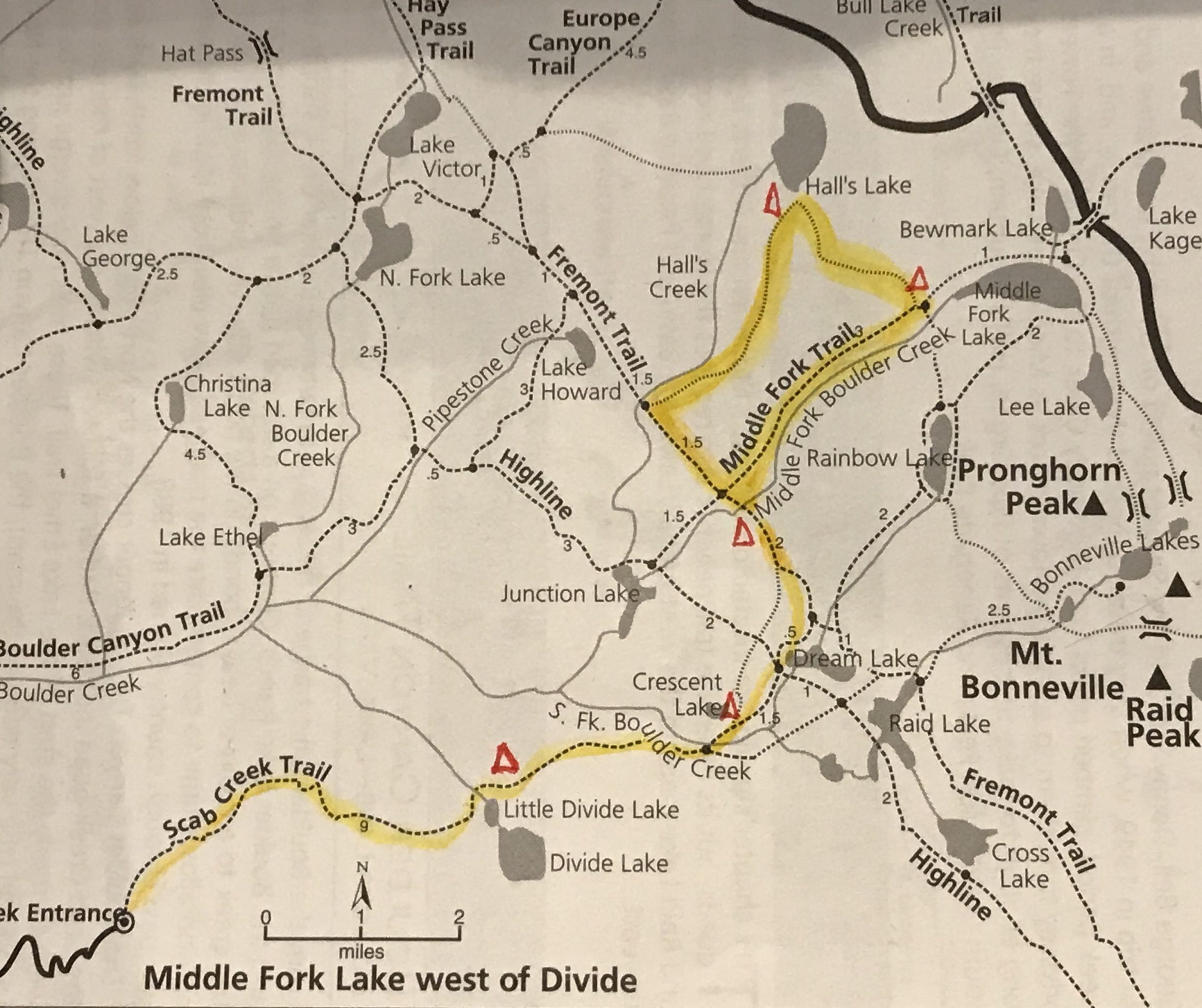
Our route.
Next: High Times in Colorado (1997 to 2010): Chasing the 14ers