* Peaks listed in Elevation order; highest to lowest
| Photo | Peak Name | Mountain Range | Elevation | Prominence | Year | Description |
|---|---|---|---|---|---|---|
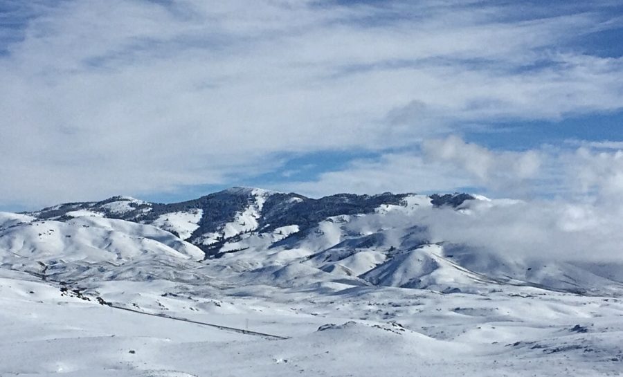
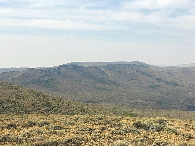
| Bennett Mountain | Bennett Mountain Hills | 7,441 ft | 1981 | This peak is not in the book. Updated December 2019
Scenic Bennett Mountain, with 1,981 ... read more | |
|
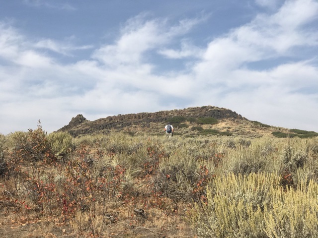
| South Bennett Mountain | Bennett Mountain Hills | 7,321 ft | 301 | This peak is not in the book. Updated May 2018
South Bennett Mountain is located southwe ... read more | |
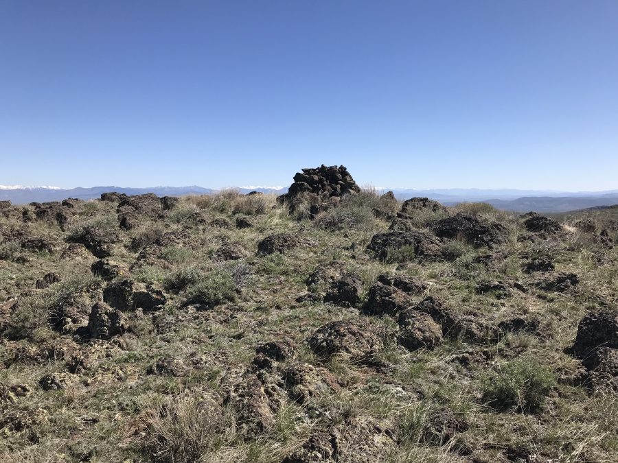
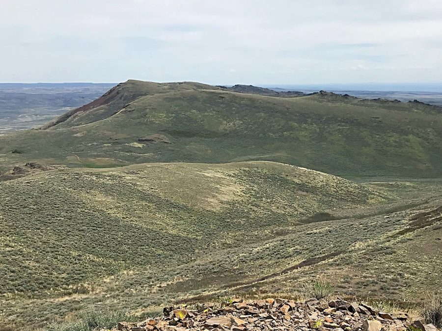
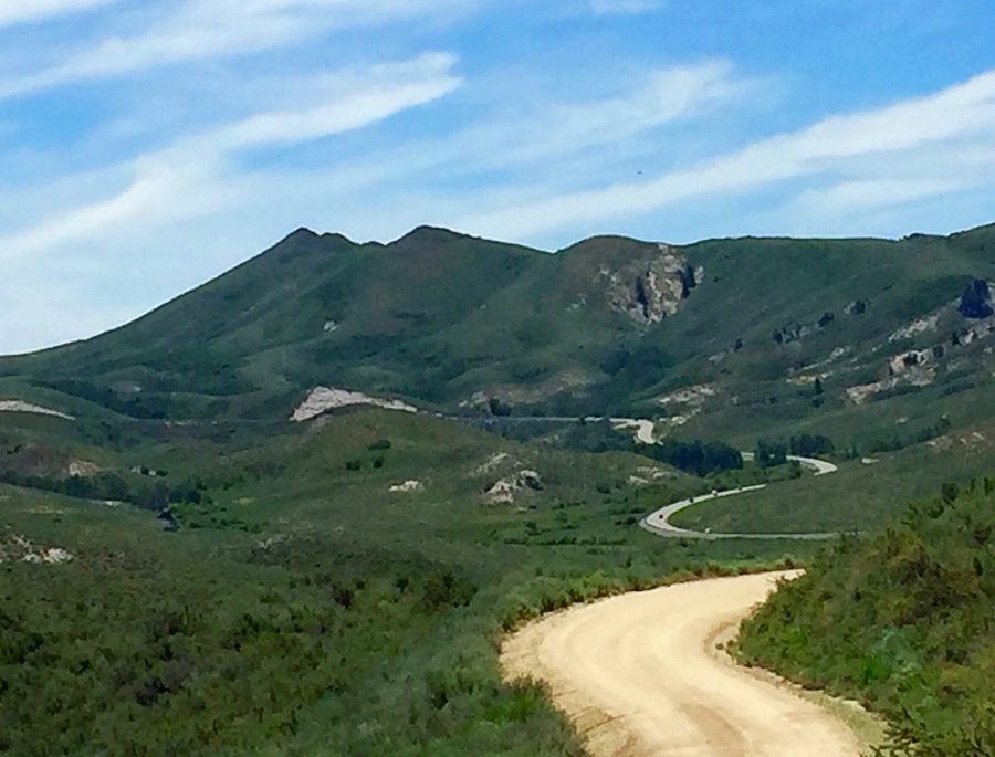
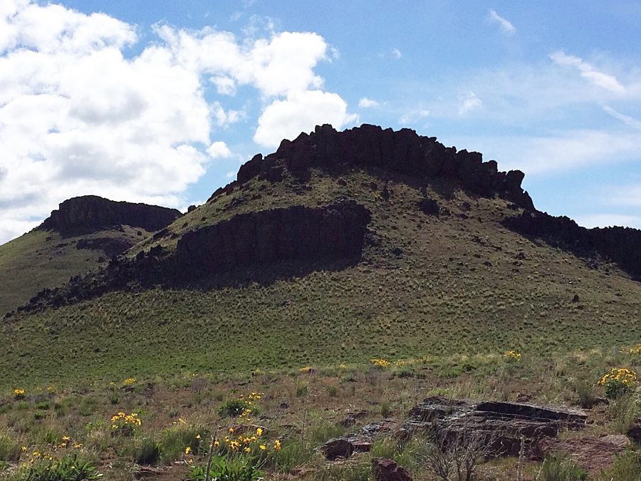
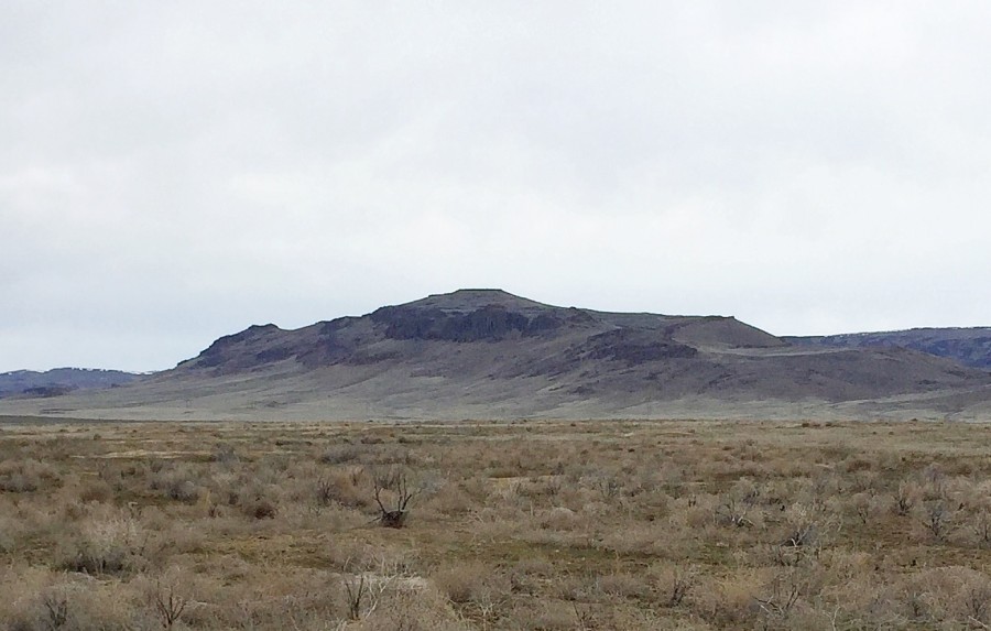
| Davis Mountain | Bennett Mountain Hills | 6,806 ft | 1146 | 2018 | This peak is not in the book.
Davis Mountain is the highest point in the central section ... read more |
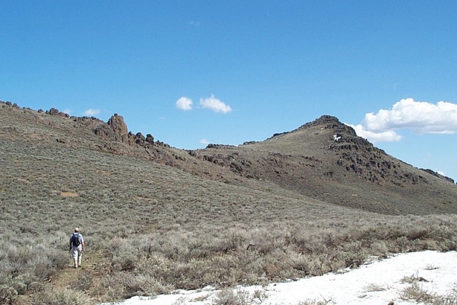
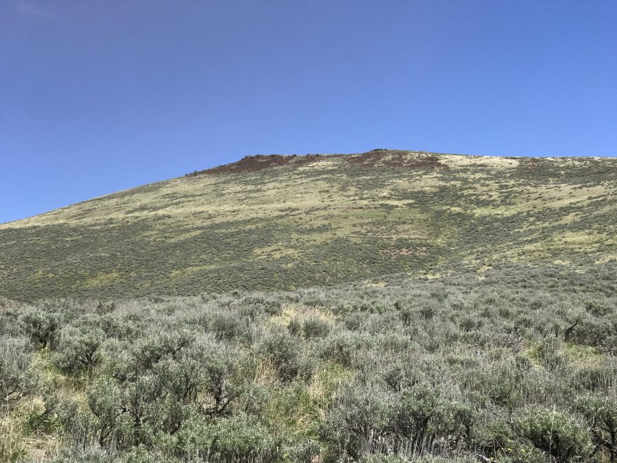
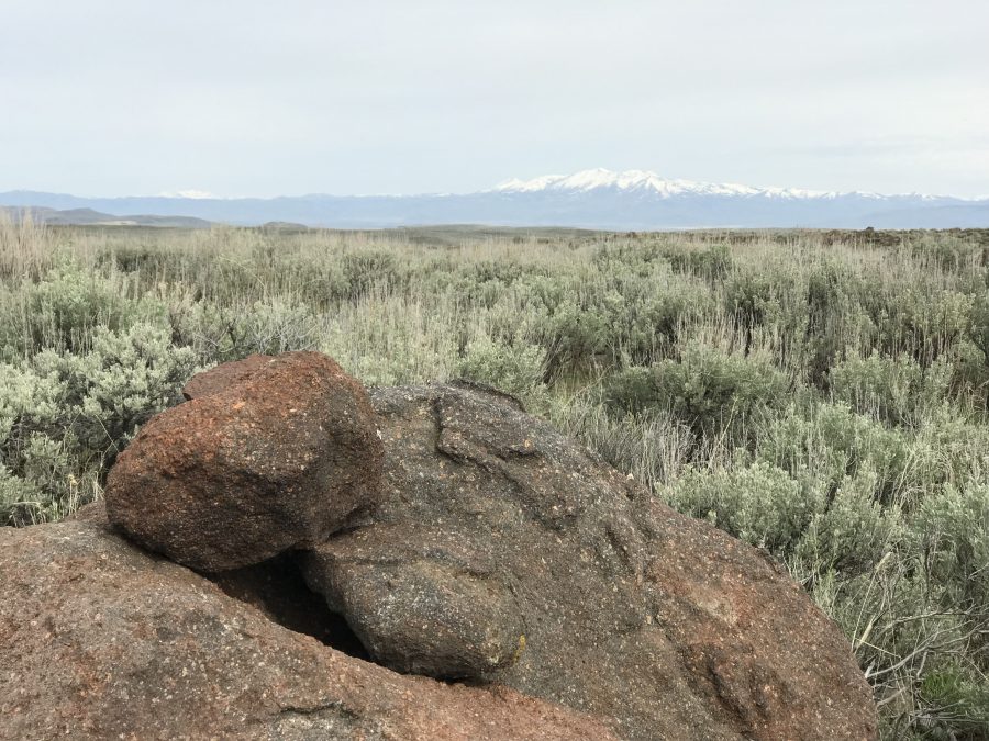
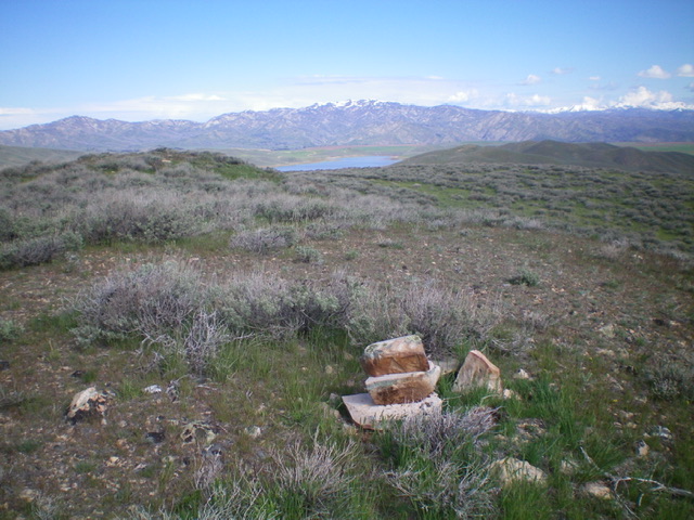
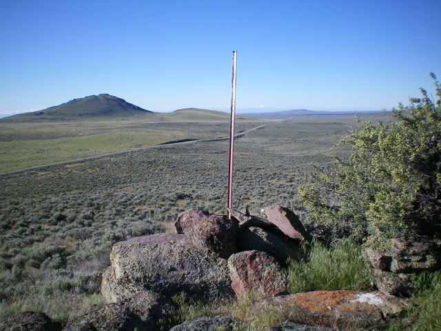
| Summit Benchmark | Bennett Mountain Hills | 6,622 ft | 501 | 2016 | This peak is not in the book.
The scenic western end of Bennett Mountain Hills has more ... read more |
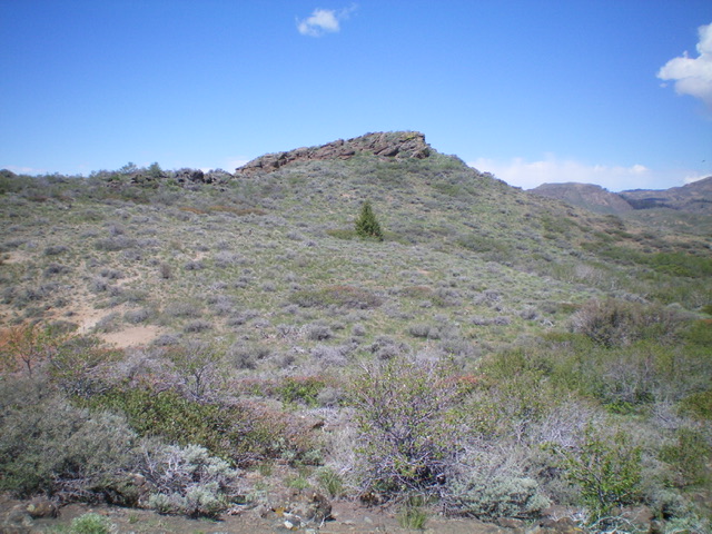
| The Knob | Bennett Mountain Hills | 6,614 ft | 874 | This peak is not in the book.
The Knob is located southwest of the town of Fairfield, Id ... read more | |
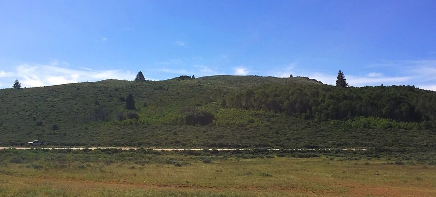
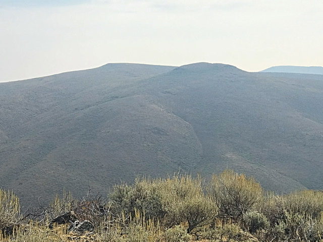
| East Twin Peak | Bennett Mountain Hills | 6,531 ft | 791 | 2018 | This peak is not in the book.
East Twin Peak and its twin, West Twin Peak, are the most ... read more |
| Peak 6491 (Mormon Reservoir Mountain) | Bennett Mountain Hills | 6,491 ft | 511 | This peak is not in the book. Livingston Douglas provided new route information for ascending the peak’s ... read more | |
| West Twin Peak | Bennett Mountain Hills | 6,416 ft | 384 | 2018 | This peak is not in the book.
West Twin Peak is located due west of East Twin Peak on th ... read more |
| Peak 6291 (Monument Gulch Peak) by Livingston Douglas | Bennett Mountain Hills | 6,291 ft | 528 | 2020 | This peak is not in the book. This peak is part of a multi-peak ridge traverse known as ... read more |
| Fir Grove Mountain | Bennett Mountain Hills | 6,260 ft | 229 | This peak is not in the book. read more | ||
| Peak 6188 (Boyer Gulch Peak) by Livingston Douglas | Bennett Mountain Hills | 6,188 ft | 368 | 2020 | This peak is not in the book. This peak is part of a multi-peak ridge traverse known as ... read more |
| Peak 6130 (Middleman Peak) by Livingston Douglas | Bennett Mountain Hills | 6,130 ft | 366 | 2020 | This peak is not in the book. Livingston Douglas climbed this peak as part of a multi-pe ... read more |
| Packer Butte | Bennett Mountain Hills | 6,020 ft | 360 | This peak is not in the book. The summit is located on State of Idaho Land which should be open to the pub ... read more | |
| Johnson Benchmark by Livingston Douglas | Bennett Mountain Hills | 6,004 ft | 534 | This peak is not in the book. See the link below for Dan Robbins' trip report for details of a winter asce ... read more | ||
| Lincoln County High Point | Boise Mountains | 5,950 ft | 440 | 2018 | This peak is not in the book. Updated May 2018.
The highest point in Lincoln County is f ... read more |
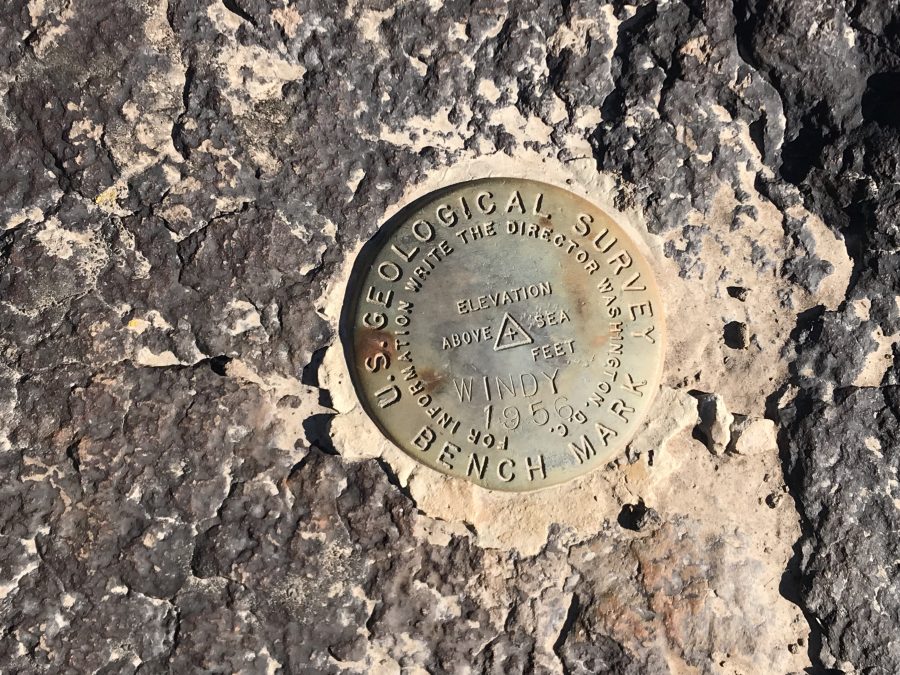
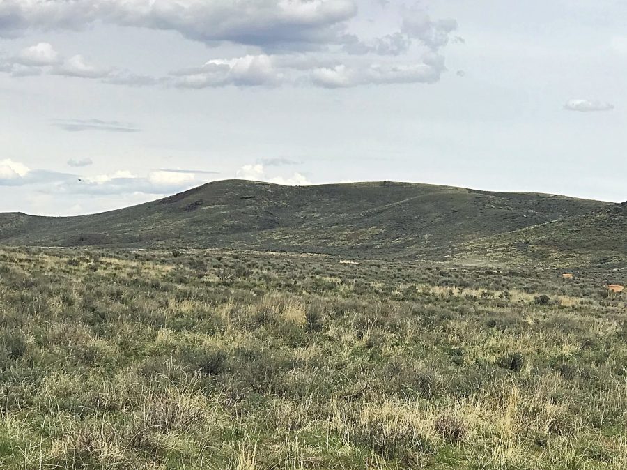
| Windy Benchmark | Bennett Mountain Hills | 5,925 ft | 385 | 2018 | This peak is not in the book. read more |

| Crows Nest by Livingston Douglas | Bennett Mountain Hills | 5,890 ft | 120 | This peak is not in the book. Published November 2022
Crows Nest is located due east of Th ... read more | |
| Peak 5875 | Bennett Mountain Hills | 5,875 ft | 325 | 2018 | This peak is not in the book.
Peak 5875 is located west of ID-46 and south of read more |
| Little City of Rocks WSA HP by Livingston Douglas | Bennett Mountain Hills | 5,742 ft | 195 | This peak is not in the book. Published November 2022
The high point of the Little City of ... read more | |
| Black Canyon II WSA HP by Livingston Douglas | Bennett Mountain Hills | 5,702 ft | 92 | This peak is not in the book. Published November 2022
The high point of the Black Canyon I ... read more | |
| Wrangle Hill by Livingston Douglas | Bennett Mountain Hills | 5,668 ft | 8 | This peak is not in the book. This is a rather minor protuberance. It would be interesting to know the hist ... read more | |
| Peak 5661 by Livingston Douglas | Bennett Mountain Hills | 5,661 ft | 281 | This peak is not in the book. Published November 2022
Peak 5661 is an overlooked summit th ... read more | |
| Canyon Benchmark by Livingston Douglas | Snake River Plain | 5,591 ft | 331 | This peak is not in the book. Published November 2022
Canyon Benchmark is a minor peak in ... read more | |
| Flat Top Butte 5567 | Bennett Mountain Hills | 5,567 ft | 280 | 2018 | This peak is not in the book. read more | |
| Peak 5268 | Bennett Mountain Hills | 5,268 ft | 378 | 2016 | This peak is not in the book.
Peak 5268 is located in the Ben ... read more |
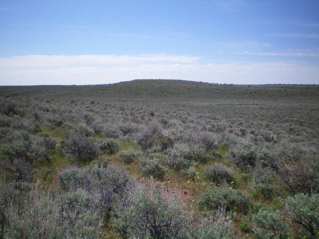
| Magic Benchmark by Livingston Douglas | Snake River Plain | 5,167 ft | 212 | This benchmark is not in the book. Published December 2019
Magic Benchmark is a hump tha ... read more | |
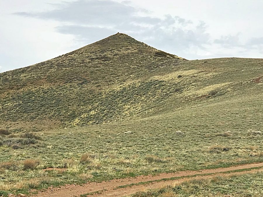
| Teapot Dome | Bennett Mountain Hills | 4,713 ft | 590 | 2016 | This peak is not in the book.
Teapot Dome was a landmark along the Oregon Trail. The pea ... read more |
|
| BENNETT MOUNTAIN HILLS | Bennett Mountain Hills | 0 ft | This page is a work in progress. Keep checking back for updates. I omitted this area when I wrote the Clim ... read more |