Elevation: 6,531 ft
Prominence: 791
This peak is not in the book.
East Twin Peak and its twin, West Twin Peak, are the most distinctive peaks on the Bennett Mountain Hills Crest. USGS Fir Grove Mountain

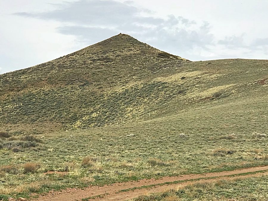
The summit cone of East Twin Peak. The 4WD road ends on the shoulder on the cone’s right side.
Access
This Peak is best accessed from Davis Mountain Road. This road runs from east to west on the south side of the Bennett Mountain Hills Crest between Gooding City of Rocks Road in the east and Monument Gulch Road in the west. I mapped out my route below. More information on these access routes is found on the Bennett Mountain Hills page. Once you are on the Davis Mountain Road, follow it until you reach a saddle due south of East Twin Peak at 5,913 feet.
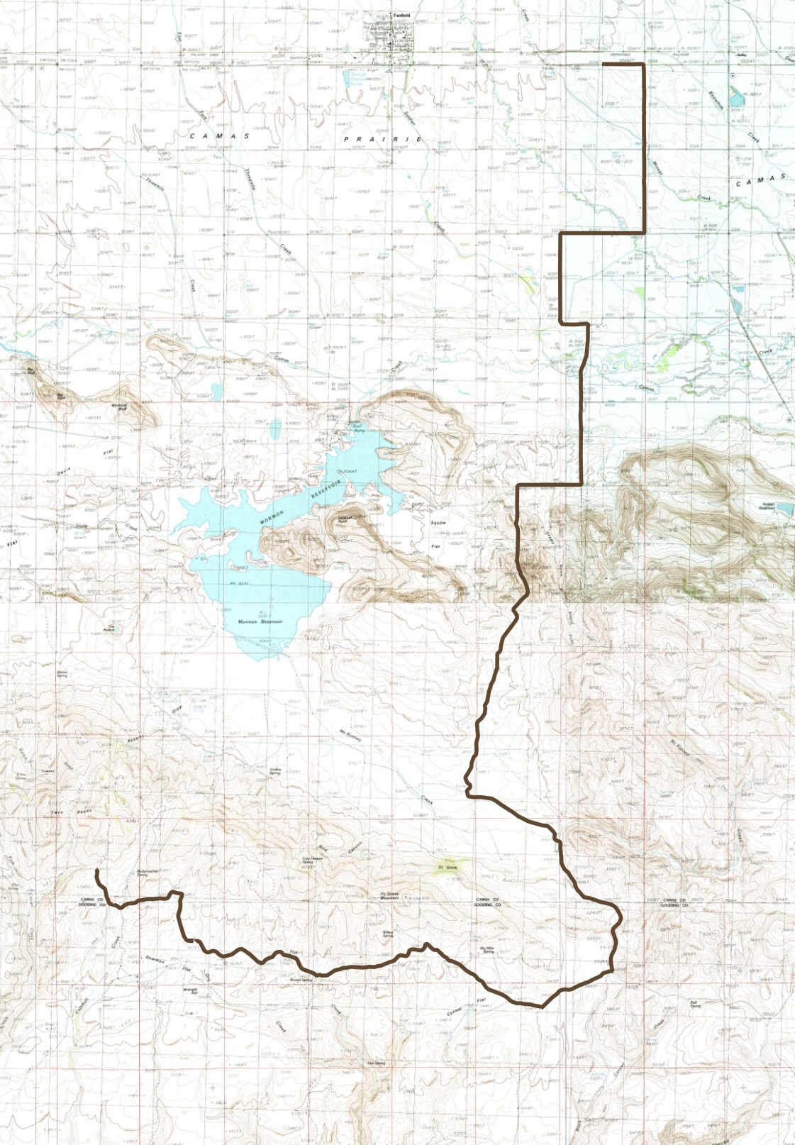
My route to East Twin Peak via Fir Grove Road and Davis Mountain Road.
South Ridge, Class 2
A 4WD road climbs up the peak’s South Ridge to within 100 vertical feet of the summit. From the road’s end, hike the last bit to the summit where you will find a large cairn and a beautiful view.
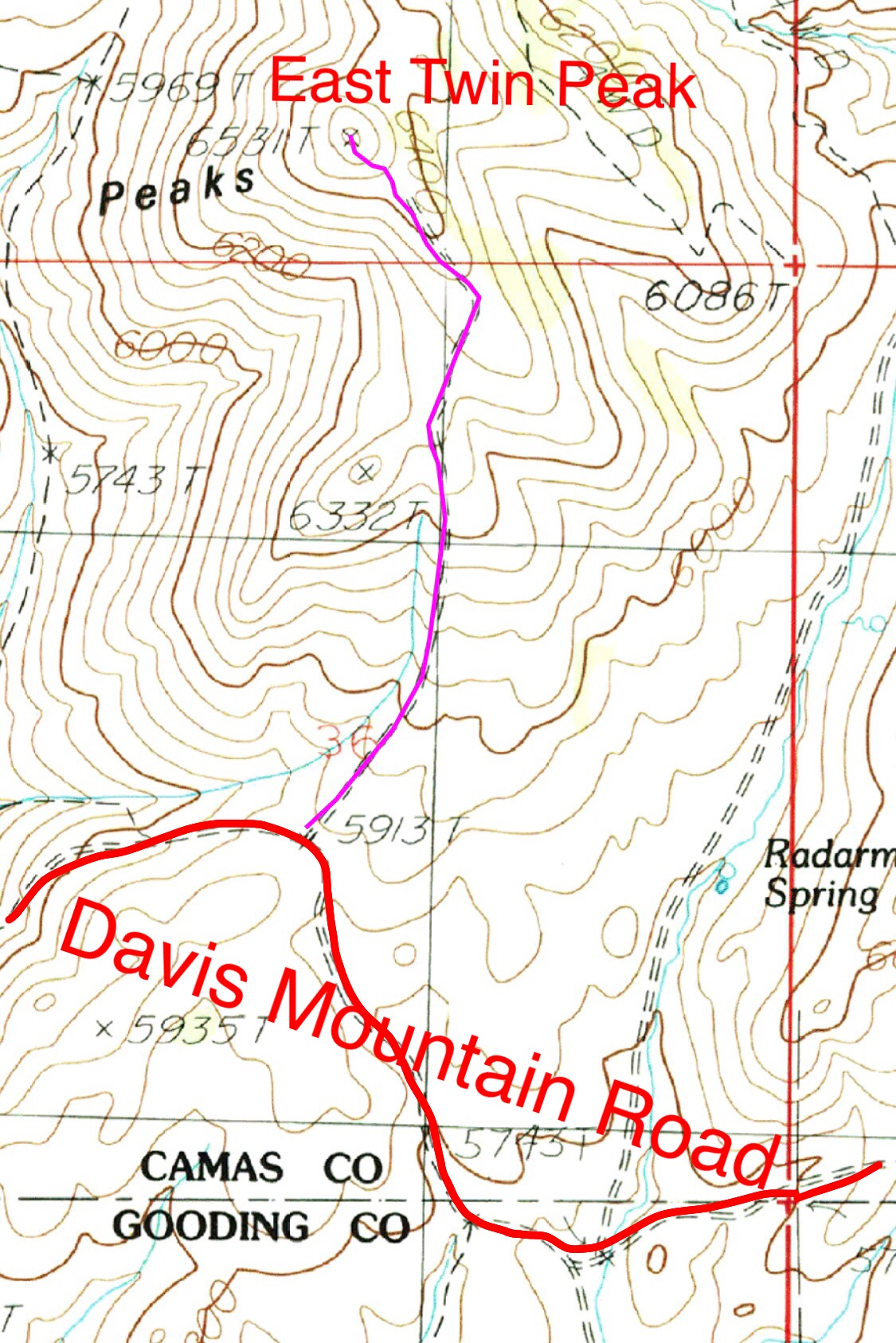
My route up East Twin Peak followed a 4WD road. The one-way distance is 0.9 miles with 654 feet of elevation gain.
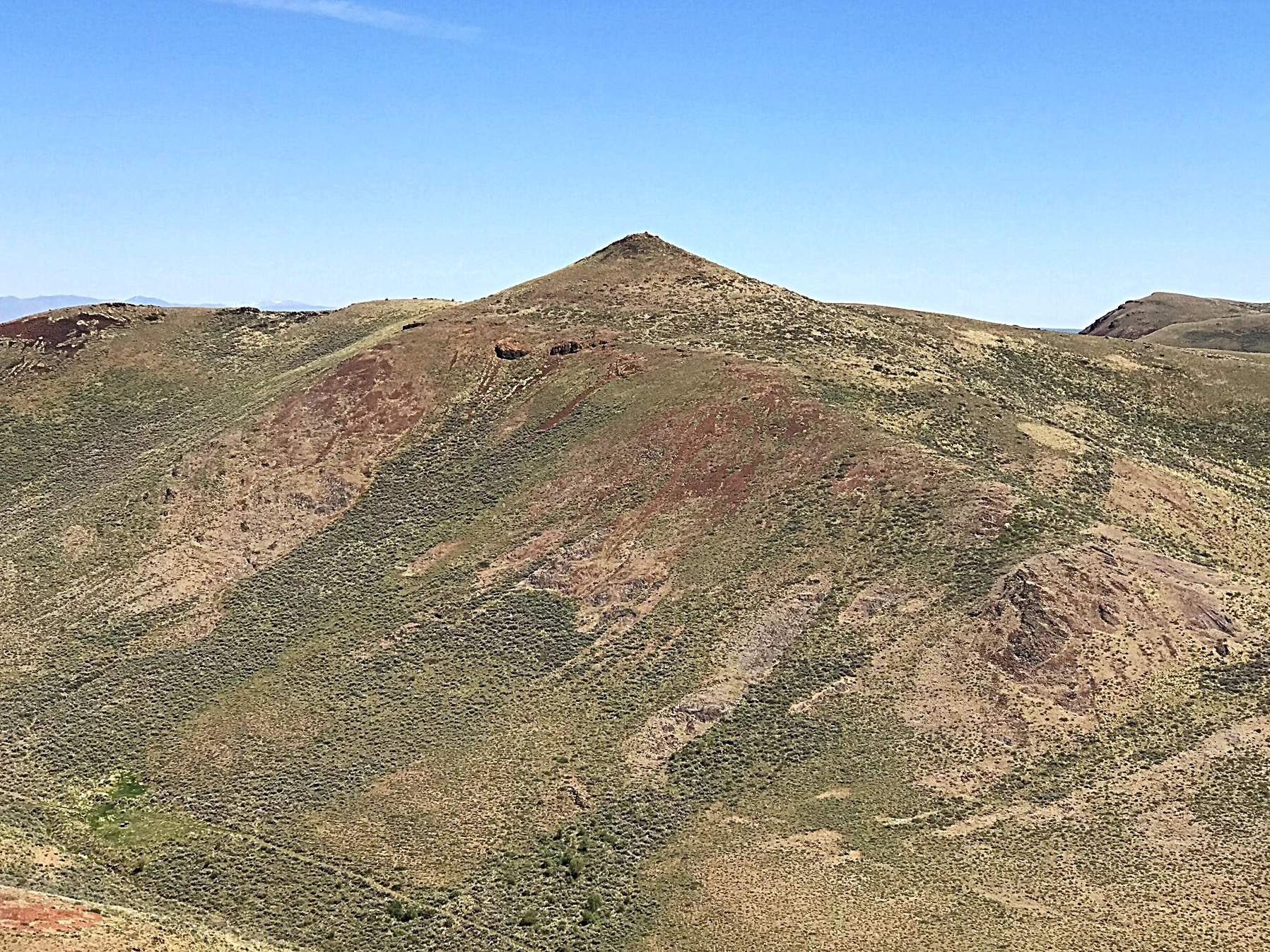
East Twin Peak as viewed from West Twin Peak.
Additional Resources
Regions: Bennett Mountain Hills->WESTERN IDAHO
Mountain Range: Bennett Mountain Hills
Year Climbed: 2018
Longitude: -114.86101 Latitude: 43.21479