Elevation: 4,713 ft
Prominence: 590

This peak is not in the book.
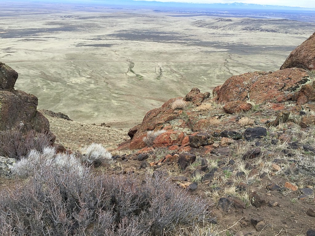
Teapot Dome was a landmark along the Oregon Trail. The peak offers great early-season hiking opportunity. There are great views of the Snake River Plain and Bennett Mountain from the summit. This is fire-prone country in the Summer, so I recommend climbing this peak between mid-February and early May. USGS Teapot Dome
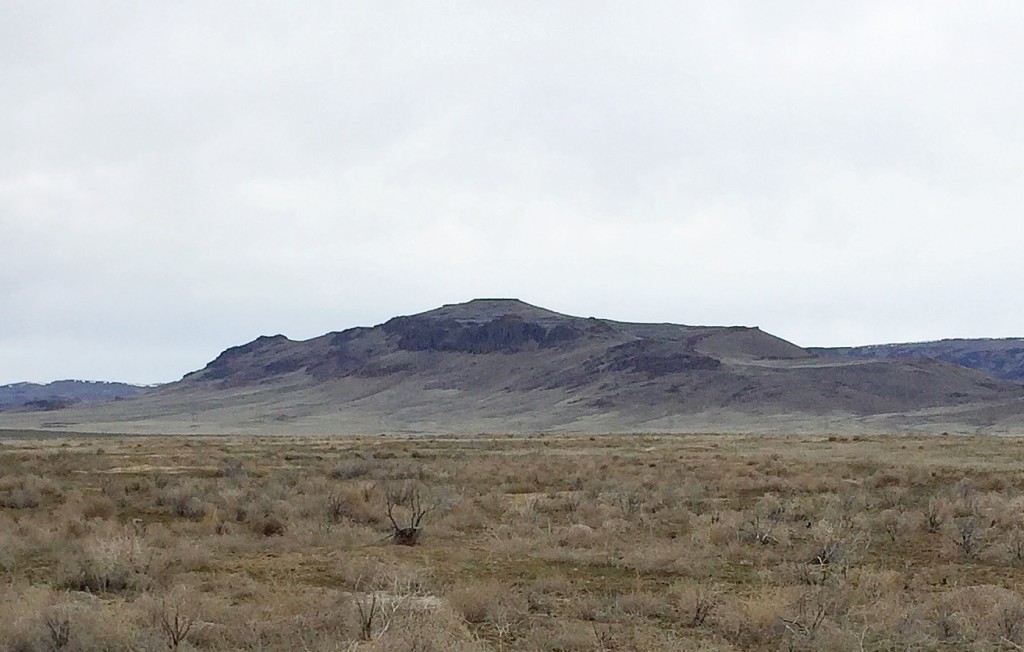
Teapot Dome as viewed from the southeast. This is the view that travelers along the Oregon Trail would have enjoyed.
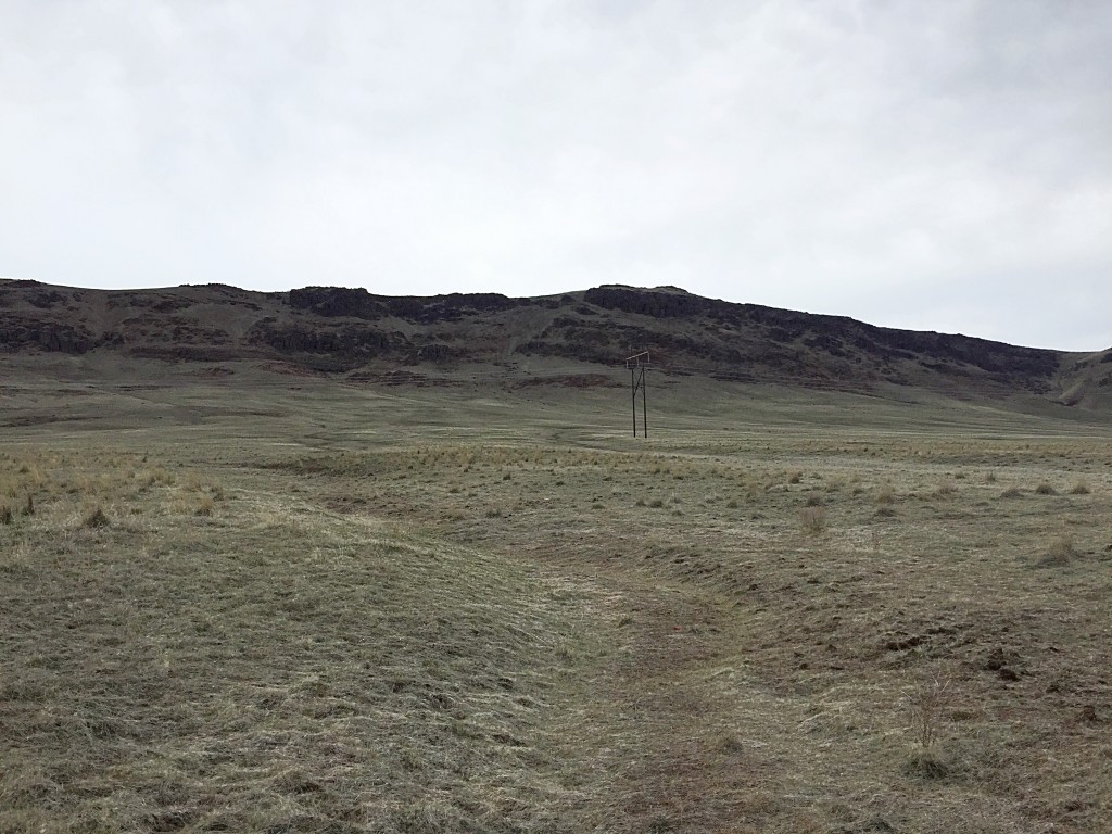
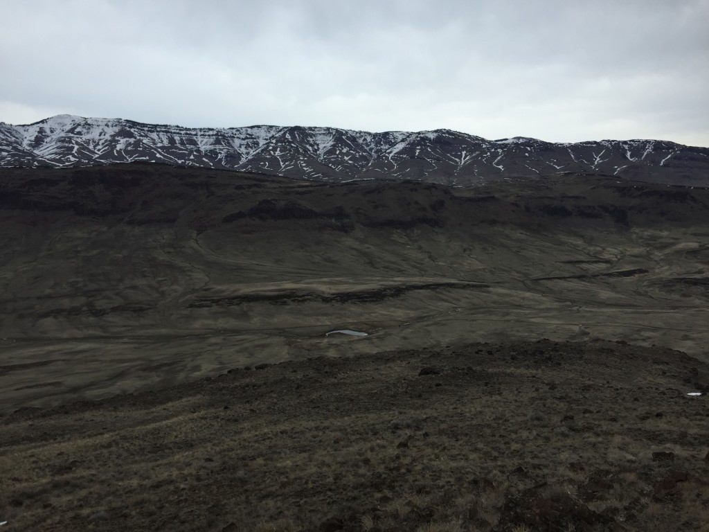
Teapot Dome as viewed from the NE Teapot Road.
To reach the peak take Exit 95 from I-84 and head north on US-20. At 7.2 miles, turn right onto NE Teapot Road. Take this road south for roughly 2.5 miles and park along the road. There is an obvious, large gully that descends from near the summit. The base of the gully is roughly 0.5 miles from the road. The gully climbs steeply up through the rhyolite cliffs that crown the peak’s summit ridge. Once on the summit ridge, turn left and follow the broad summit ridge to the summit.
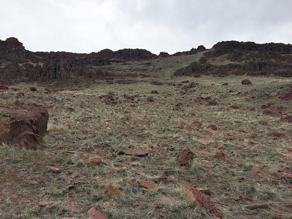
Starting up the gully.
Looking down the gully.
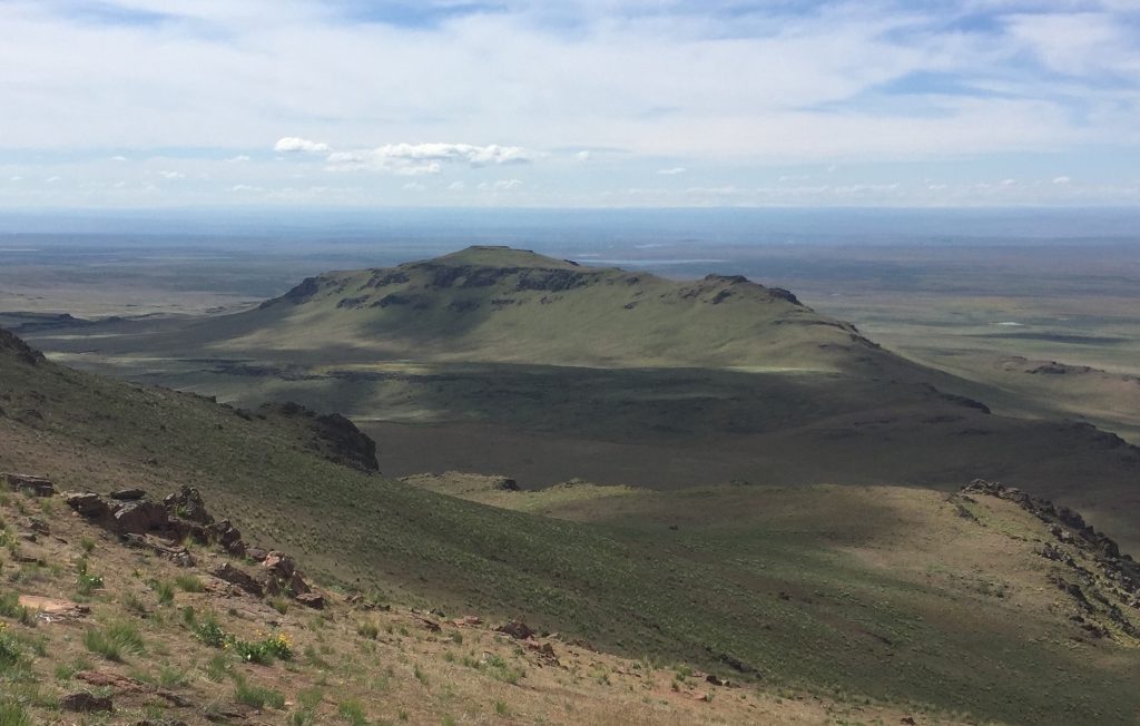
Bennett Mountain as viewed from the summit of Teapot Dome in mid-February 2016.
This route was 1.8 miles long and gained a bit over 900 feet in elevation from the point where I parked.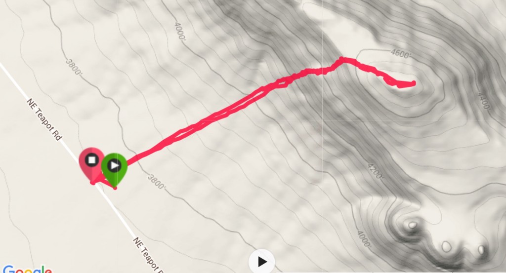
Teapot Dome as viewed from Peak 5268.
Additional Resources
Regions: Bennett Mountain Hills->WESTERN IDAHO
Mountain Range: Bennett Mountain Hills
Year Climbed: 2016
Longitude: -115.51709 Latitude: 43.17449