Elevation: 5,668 ft
Prominence: 8
This peak is not in the book. This is a rather minor protuberance. It would be interesting to know the history behind the name of a hill with eight feet of prominence considering how many Idaho peaks are unnamed. Published November 2022
Wrangle Hill is located on the south side of Davis Mountain Road in the Bennett Hills. It is a named, but rather insignificant, ridgeline hump that is covered with sagebrush. USGS Fir Grove Mountain
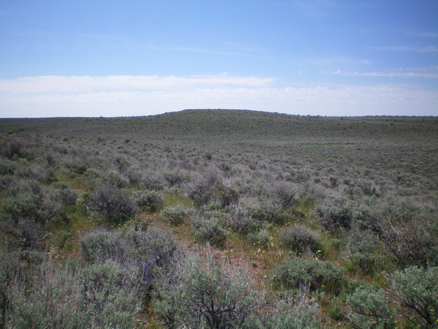
Wrangle Hill (dead center) as viewed from the north. Livingston Douglas Photo
Access
Drive west up Davis Mountain Road exactly 4.7 miles from the City of Rocks Road, just before Davis Mountain Road makes a sharp right/north turn. Park here (5,716 feet). GPS coordinates: 43⁰11’30”N, 114⁰50’21”W. ). Please refer to the Bennett Mountain Hills page for more information about Davis Mountain Road.
North Face, Class 2
The Climb
From Davis Mountain Road, bushwhack due south through tedious, thick sagebrush in flat terrain then drop to cross a dry, narrow drainage. After crossing the drainage, continue due south and bushwhack up a bit and quickly cross a jeep road then drop to cross a second, sagebrush-filled gully. You are now at the base of [obvious] sagebrush-covered Wrangle Hill. Bash through the thick sagebrush to reach the sage-covered summit. The high point is one of two large ground boulders hidden in the sagebrush, about 25 feet apart. Stand atop both boulders just to be sure that you’ve accomplished your goal.
Additional Resources
Regions: Bennett Mountain Hills->WESTERN IDAHO
Mountain Range: Bennett Mountain Hills
Longitude: -114.83759 Latitude: 43.18301