Elevation: 5,875 ft
Prominence: 325
This peak is not in the book.
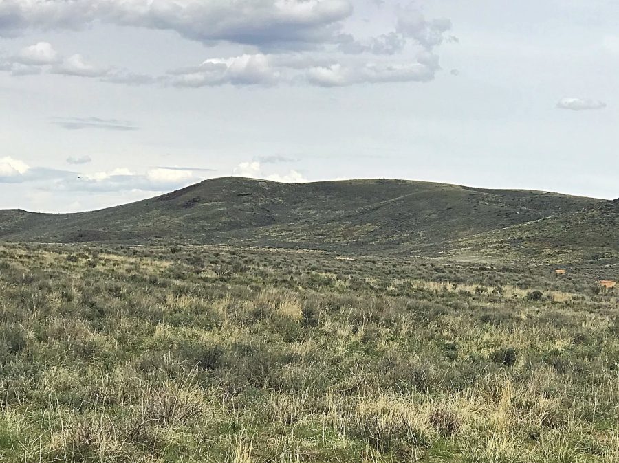
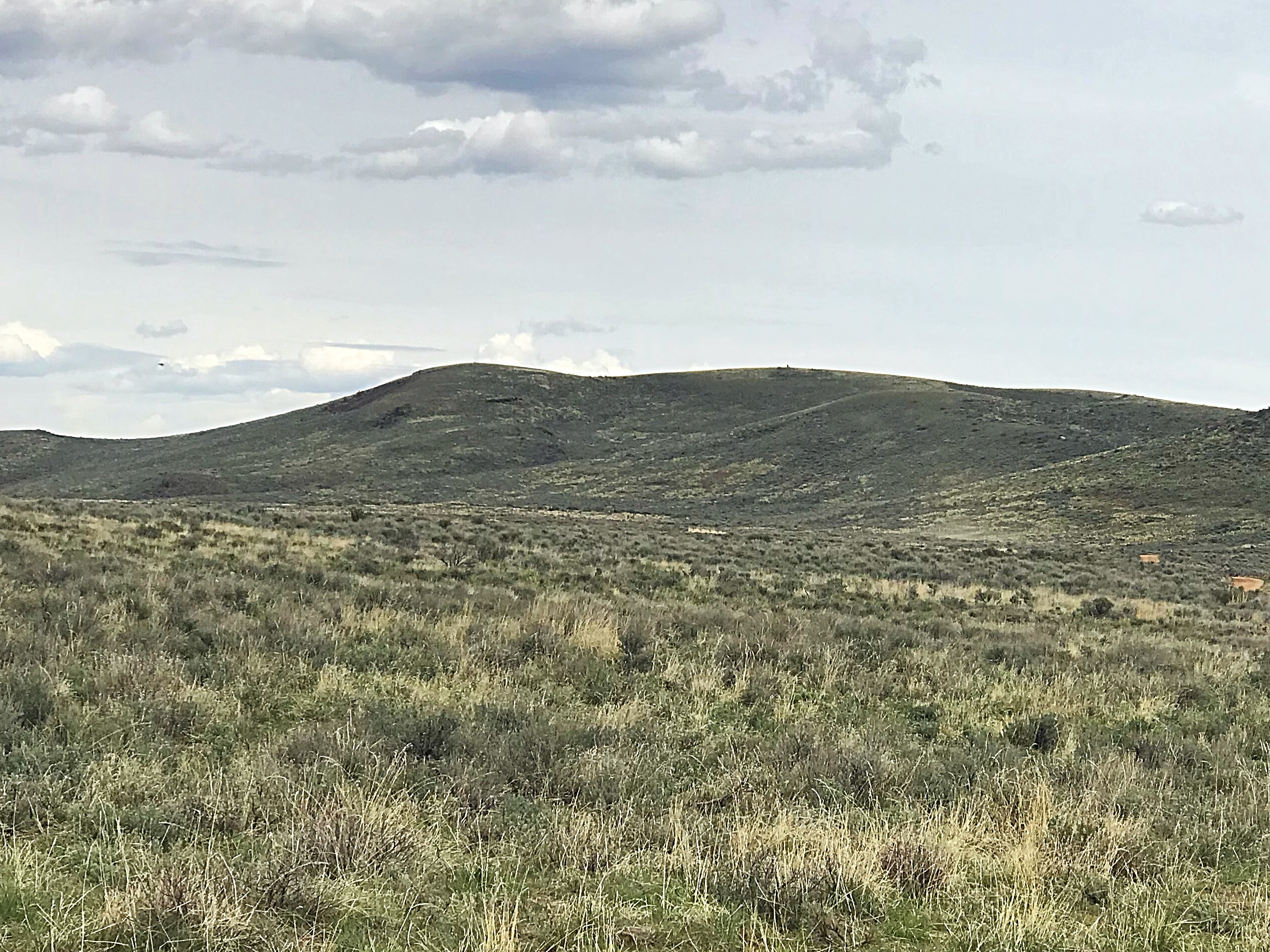
Peak 5875 is located west of ID-46 and south of Johnson Benchmark. It is a sagebrush- covered hill with nice views north to the Camas Prairie and the Soldier Mountains. USGS McHan Reservoir
Peak 5875 as viewed from the west.
Access
The Gooding City of Rocks Road crosses over the peak’s South Shoulder. Take ID-46 north from Gooding for 15 miles. Turn west at the BLM sign for the City of Rocks. Follow the signs and follow this road in a westerly direction until you reach a saddle due south of the summit. The saddle is marked as 5572 on the USGS quad. Note that this road is occasionally maintained but is still a rough dirt road with occasional mud holes.
Southern 4WD road, Class 1
The road that climbs from the saddle to the summit is passable to high-clearance vehicles with all terrain tires when dry. The road serves as a good hiking trail. Distance to the top is 0.9 miles with just over 300 feet of elevation gain.
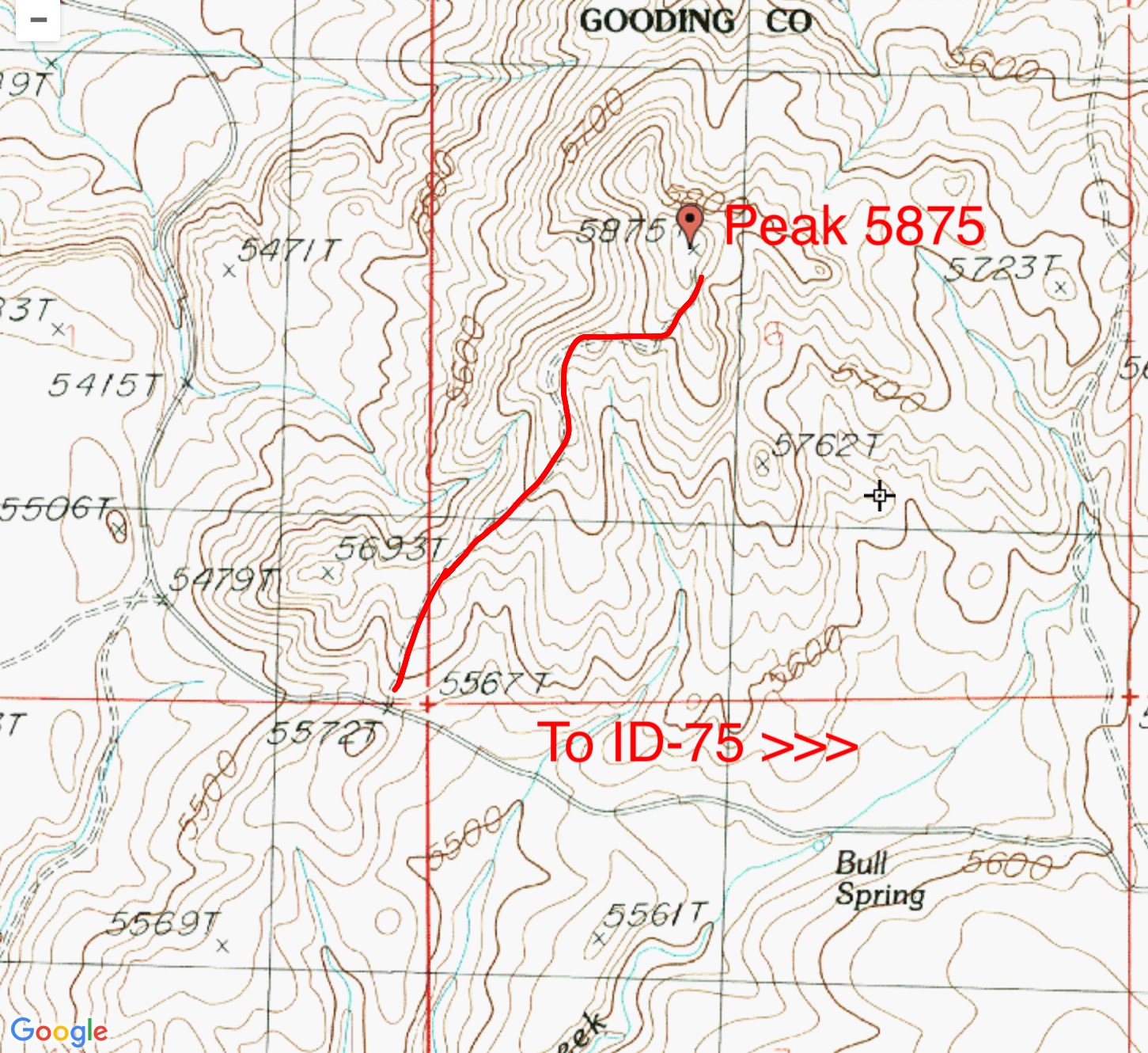
Peak 5875 route map.
Additional Resources
Regions: Bennett Mountain Hills->WESTERN IDAHO
Mountain Range: Bennett Mountain Hills
Year Climbed: 2018
Longitude: -114.72549 Latitude: 43.19339