Elevation: 6,416 ft
Prominence: 384
This peak is not in the book.
West Twin Peak is located due west of East Twin Peak on the Bennett Mountain Hills Crest. Like its twin, it can be climbed from almost any direction. USGS Fir Grove Mountain
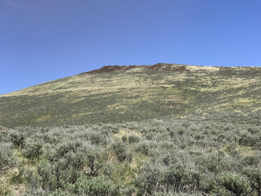
West Twin Peak as viewed from the southwest along the East Fork Clover Creek.
Access
Road access to the peak’s south slopes is via the Davis Mountain Road. This road is discussed in detail on the Bennett Mountain Hills page. Starting on ID-46, take the Gooding City of Rocks Road to the signed Davis Mountain Road. Follow this road west for 8 rough miles to the East Fork Clover Creek. 4WD recommended. Just after you cross the creek, a two-track heads up the drainage. Follow this road to the 5,600 foot contour.
West Face, Class 2
The West Slopes are open and almost any line will take you to the summit ridge. My line is shown on the map below. The mileage to the top was 0.84 miles with 820 feet of elevation gain.
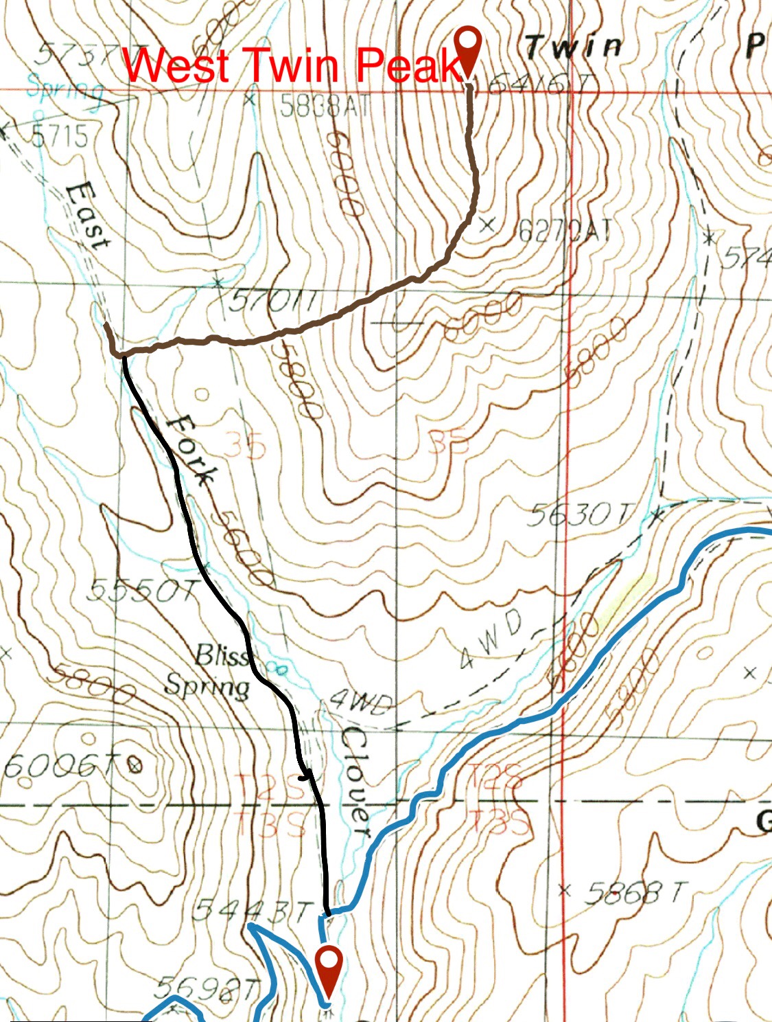
The Davis Mountain Road is in blue. The heavy black line is the road up the East Fork. The brown line is my GPS track to the summit.
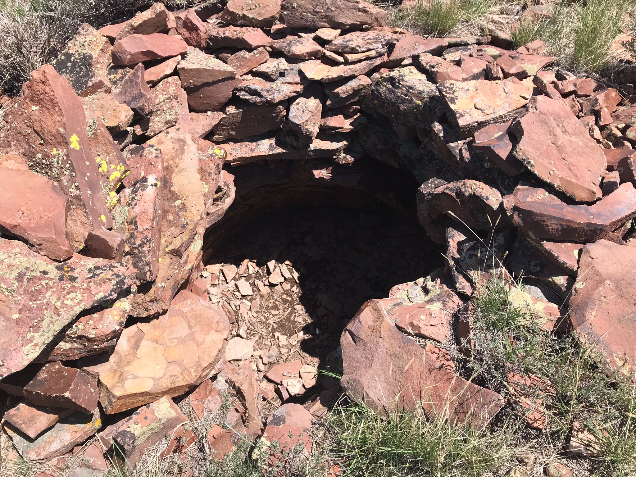
There is a circular hole on the summit. It is about three feet deep. Its origins are a mystery.
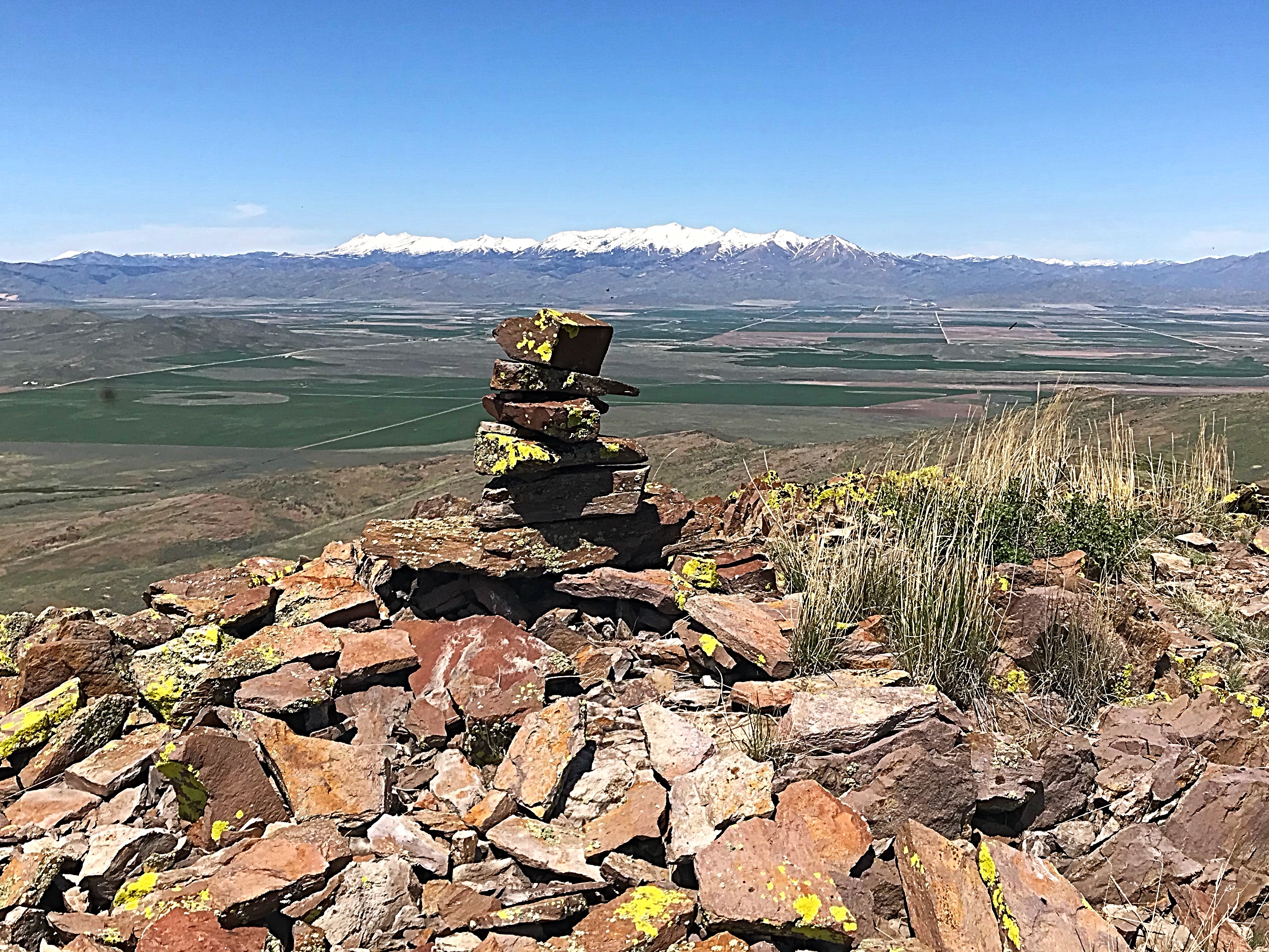
Looking north across the Camas Prairie to the Soldier Mountains.
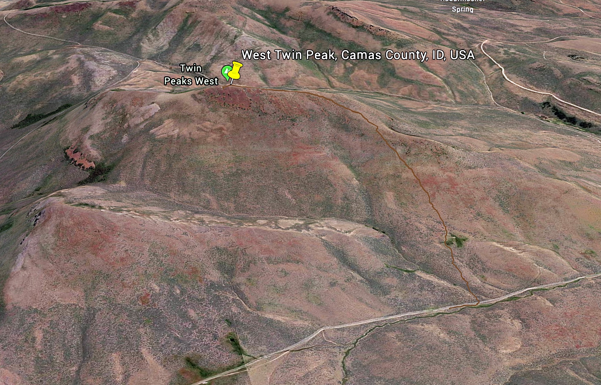
My GPS track as shown on Google Earth.
Additional Resources
Regions: Bennett Mountain Hills->WESTERN IDAHO
Mountain Range: Bennett Mountain Hills
Year Climbed: 2018
Longitude: -114.87401 Latitude: 43.21309