Elevation: 5,950 ft
Prominence: 440
This peak is not in the book. Updated May 2018.
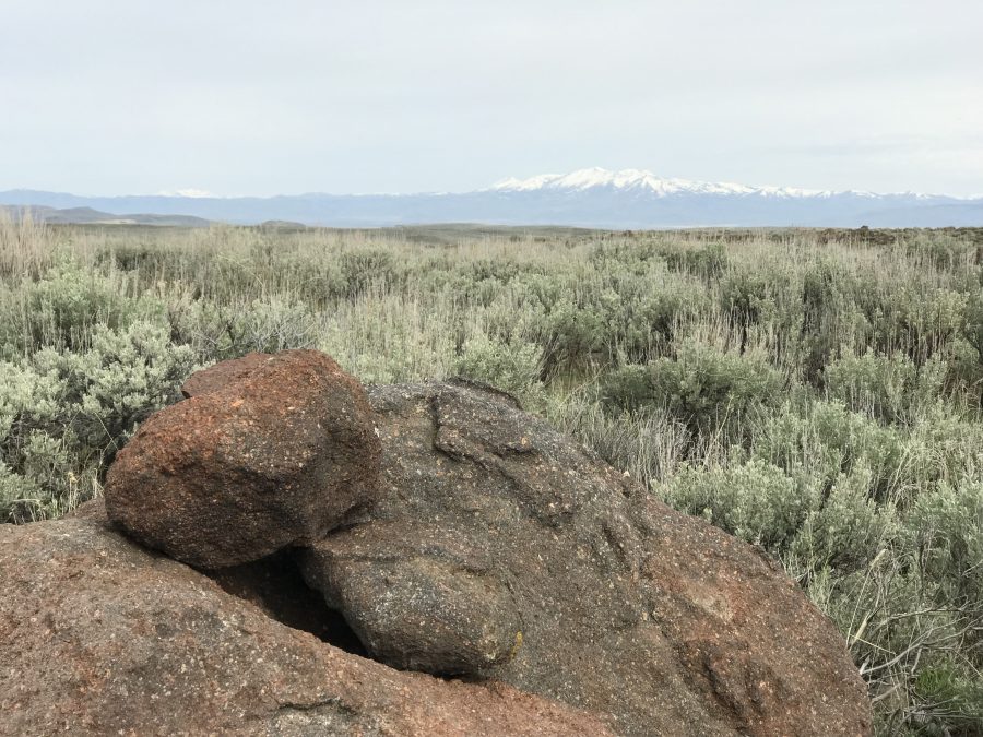
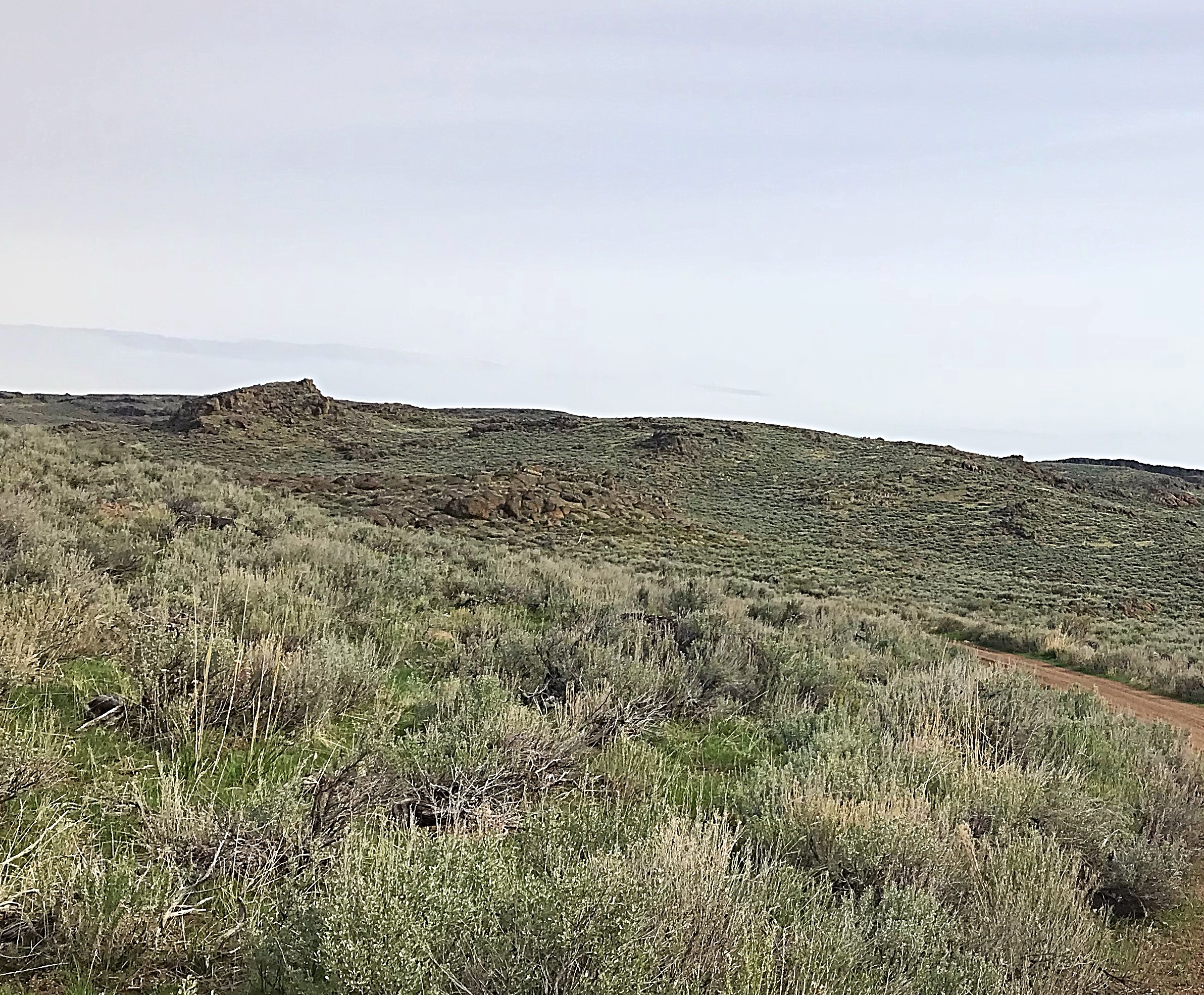
The highest point in Lincoln County is found at the eastern end of the Bennett Mountain Hills in a area of sagebrush-encrusted rolling terrain marked by occasional cliffs and sharp ridges reminiscent of a stormy sea frozen in time. The peak’s summit is the highest swell in the area. When you reach the broad summit, it is difficult to identify the high point. USGS Thorn Creek Reservoir
Although the Lincoln County High Point has 400 feet of prominence, it appears more like a low hill.
Access
The following directions are from Ken Jones. His directions are accurate and easy to follow with a few caveats. First, keep in mind that every vehicle will give slightly different odometer readings. Second, the road has deteriorated since Ken visited the peak. At a minimum, a vehicle with high clearance and all terrain tires will be necessary to safely reach the base of the climb. Finally, keep in mind that the county high point is the highest point on the county line and that is not necessarily the highest point on Peak 5950.
From the intersection of US-20 and ID-46, head south on ID-46 for 12.7 miles to the signed junction left to Thorn Creek Reservoir. This is at logical Milepost 30.5, if you are coming from the south. Turn toward the reservoir and set your odometer to 0.0. Keep right at a junction at 1.8 miles. Cross a fence line at 3.2 miles and reach a left fork at 3.8 miles.
Keep right, skip forks left, and cross the outlet of the reservoir at 4.1 miles. Skip more forks to the left, and pass a jeep trail right at 5.2 miles. Reach a cattle guard at 7.0 miles and an intersection at 7.9 miles. Go left, skipping a jeep trail right at 8.2 miles. Cross another cattle guard at 8.9 miles and park at a saddle at 9.7 miles. Passenger cars cannot get here even when the road is dry.
Route
Hike up the ridge to the east, keeping to the left side where it levels out on top. I’m not sure where the high point is. We went to the highest point in the area as determined by a clinometer sighting. There are also two white PVC posts in the area which may mark the offset section corners (33/34 to the east, 3/4 to the west). If they do, the highest point on the plateau is not in Lincoln County; in that case, it is near the eastern post.
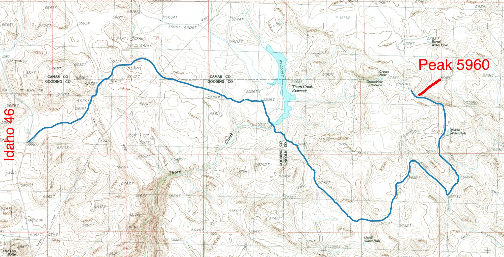
My GPS track for the approach and the hike. There is a good parking spot on the saddle identified by Ken. The walk up the ridge to the summit is 0.4 miles long with 175 feet of elevation gain.
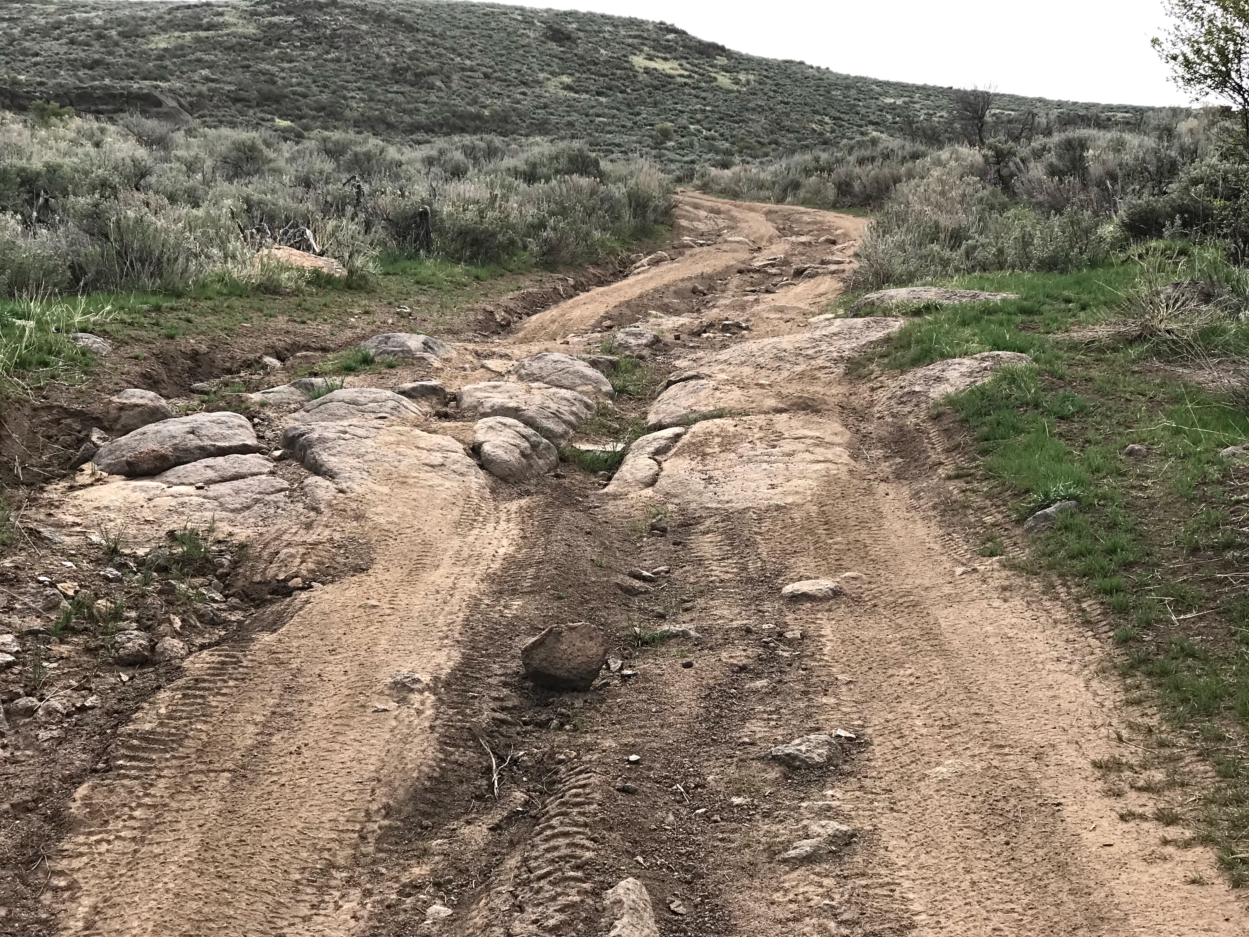
The road is decent until it reaches the reservoir but quickly deteriorates after crossing the dam.
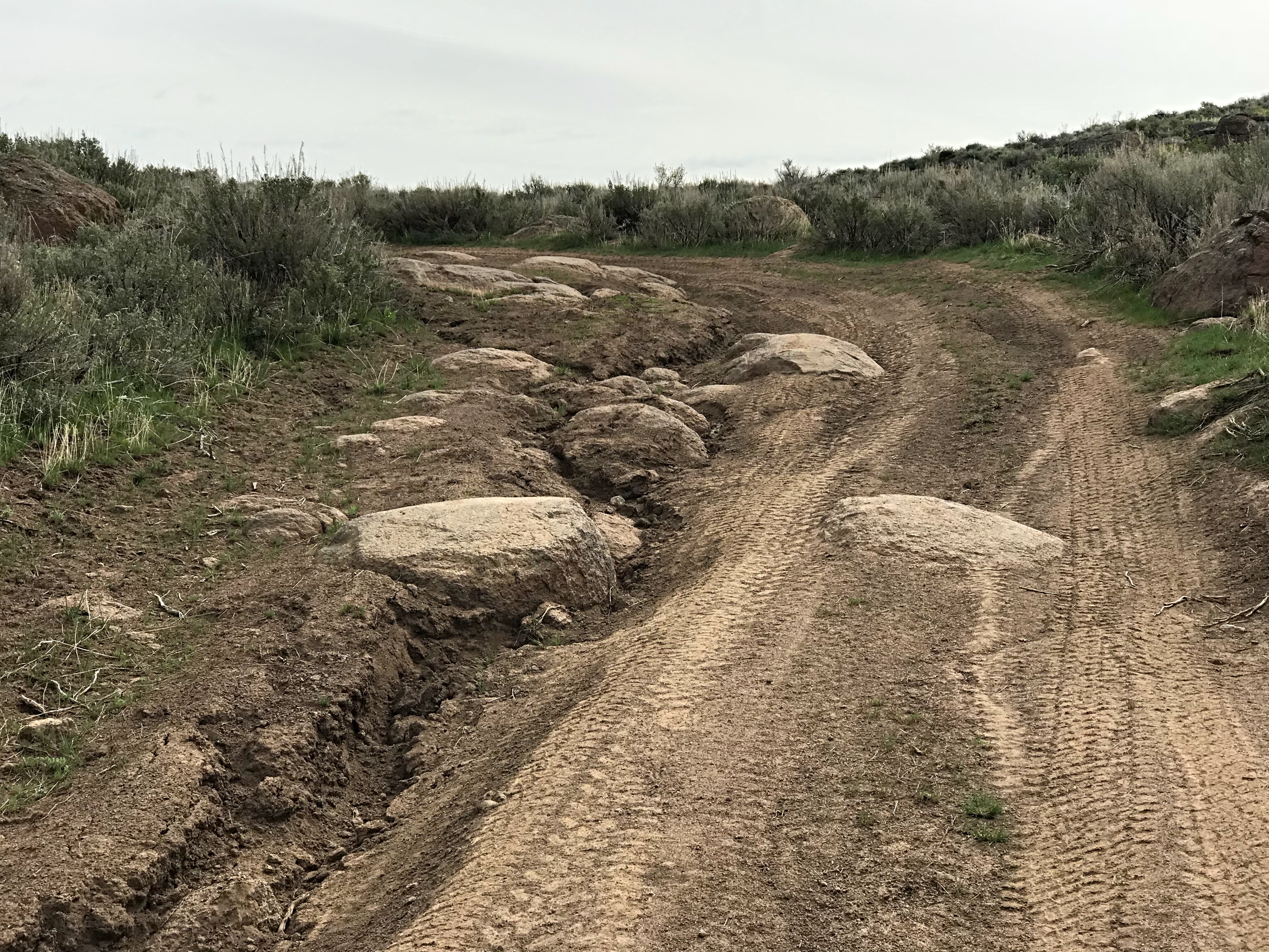
There are a lot of ruts along the way and some are accompanied by large boulders.
Additional Resources
Regions: Bennett Mountain Hills->WESTERN IDAHO
Mountain Range: Boise Mountains
Year Climbed: 2018
Longitude: -114.55479 Latitude: 43.19819