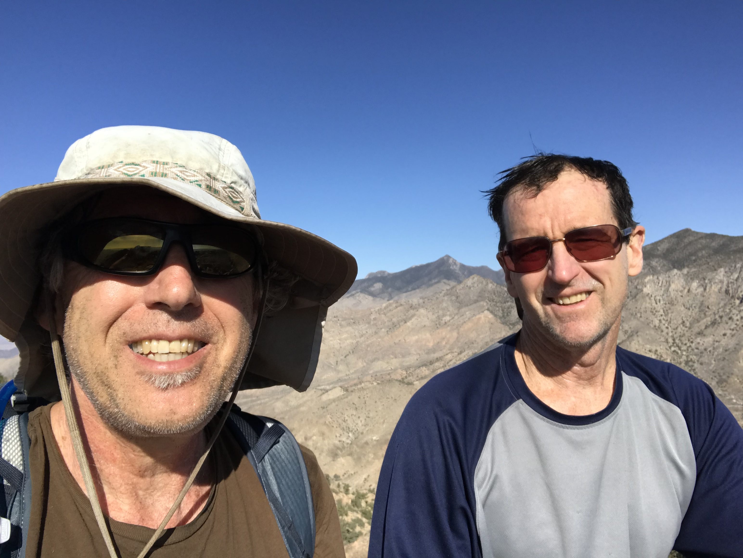
Pat McGrane and I thought that we would jump-start the Summer climbing season and avoid a bit of Winter weather by heading to Southern Nevada on the last day of January. Little did we know when we planned the trip that Spring would arrive early in Idaho. Nevada is a big state with weather similar to Idaho in the north and hot, desert country in the south. As a result, you can find snow-free climbing some places in Nevada year-round. In February, the best options are in the southern part of the state.
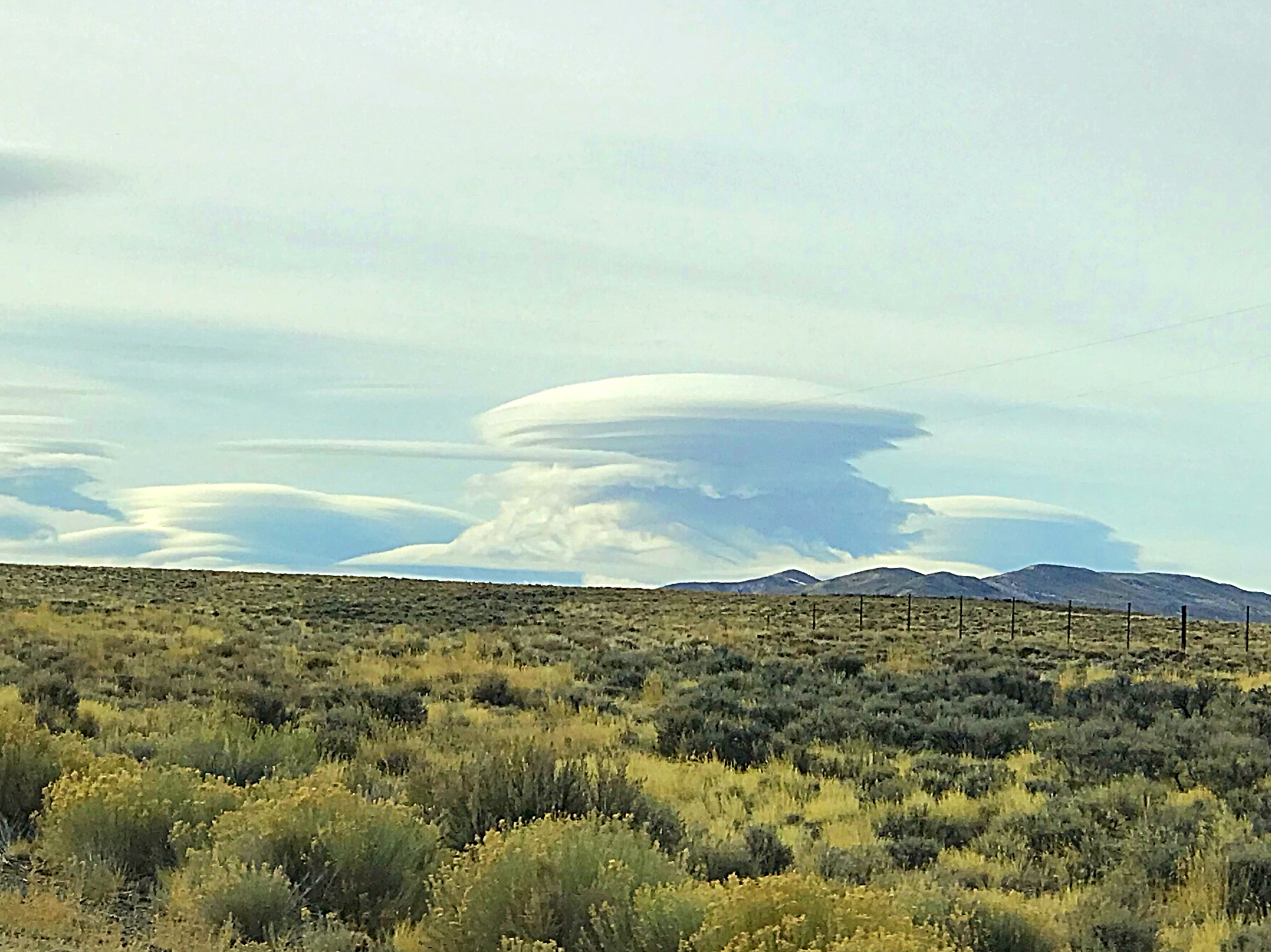
Fantastic clouds over Wells, Nevada.
(Clicking on the photos will bring up a larger version.)
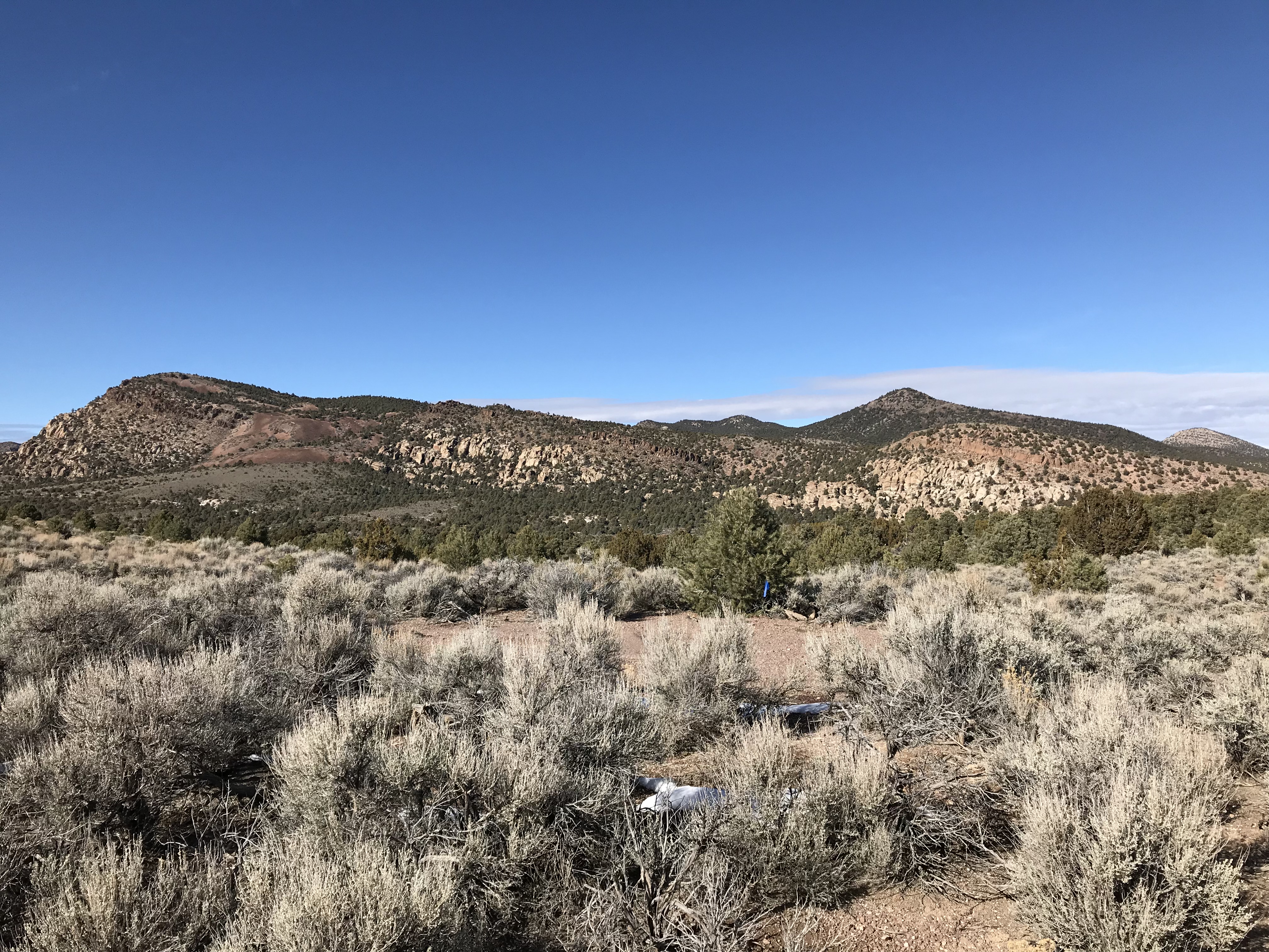
Our first stop was an area south of Lund, Nevada which I have visited several times in the past. This area has decent access and more peaks than a person could ever climb. We decided to camp at the Dave Deacon Campground in the Kirsch Wildlife Management Area run by the Nevada Department of Wildlife which describes the area as follows:
“The Wayne E. Kirch Wildlife Management Area (KWMA) is located in the White River Valley in northeastern Nye County. State Route 318 is the major access route to the area. Ely is about 75 miles north of the area and Las Vegas is about 200 miles south of the area. Settlement of the White River Valley progressed during the 1870s when isolated homesteads appeared, generally associated with meadows where a water supply was available. During the early 1900s, W. E. McGill and J. W. Adams formed the Adams-McGill Company which owned and operated a successful ranching empire for several decades with ranch land and associated federal rangeland totaling nearly 100,000 acres. Ervin Hendrix purchased the Sunnyside and Hot Creek Ranches in 1943 and operated the ranch until 1959. The Nevada Fish and Game Commission recognized the wildlife potential of the property and purchased the area in 1959. In May 1968, the area was established as the Wayne E. Kirch WMA in honor of Fish and Game Commissioner Wayne E. Kirch of Clark County. Today, KWMA is comprised of a total of 14,815 acres, including five major reservoirs. The Hot Creek Refugium, which is located in the north central portion of the area, has been designated as a National Natural Landmark and is also designated as critical habitat for the protected Moorman White River Springfish.”
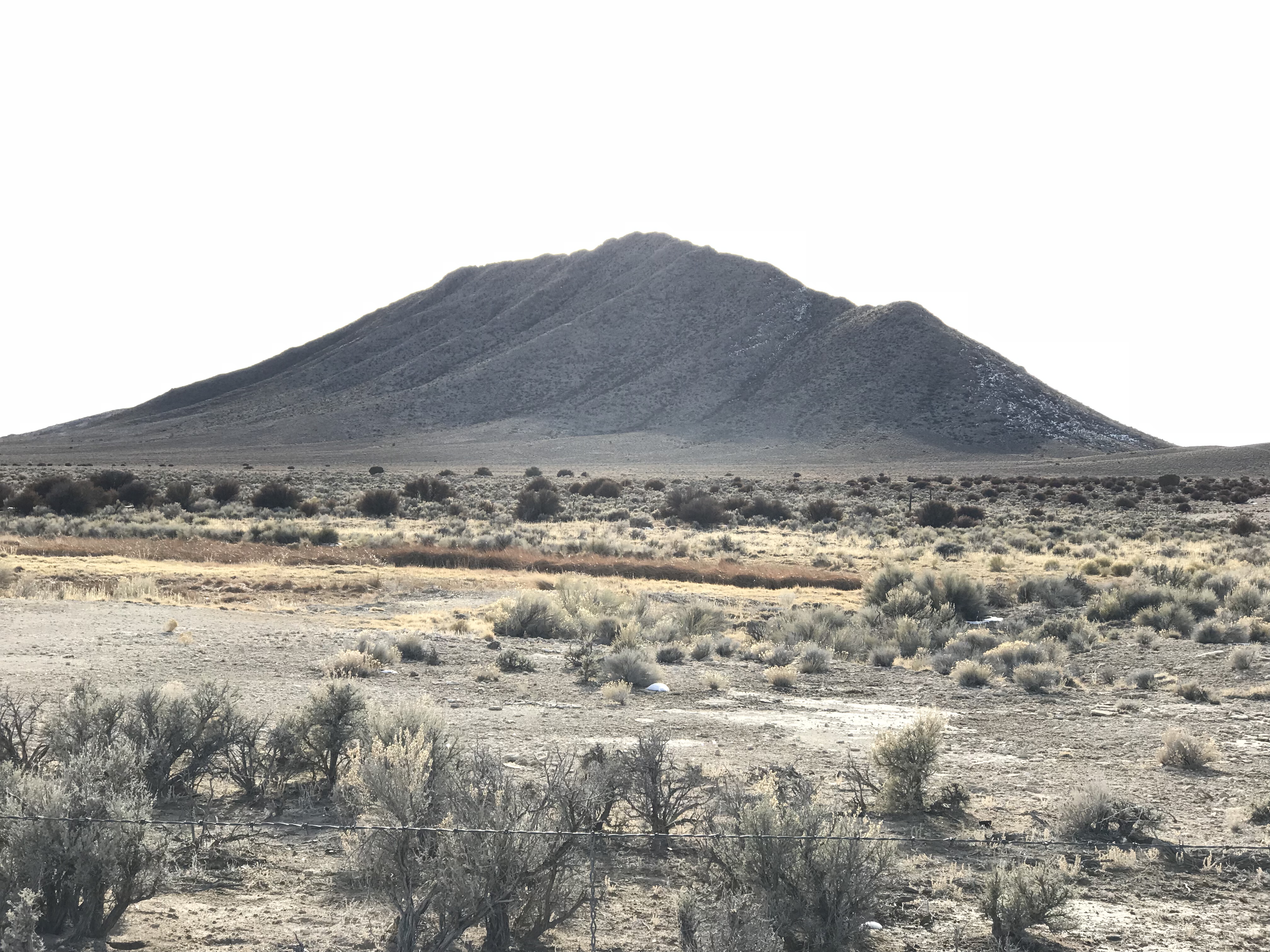
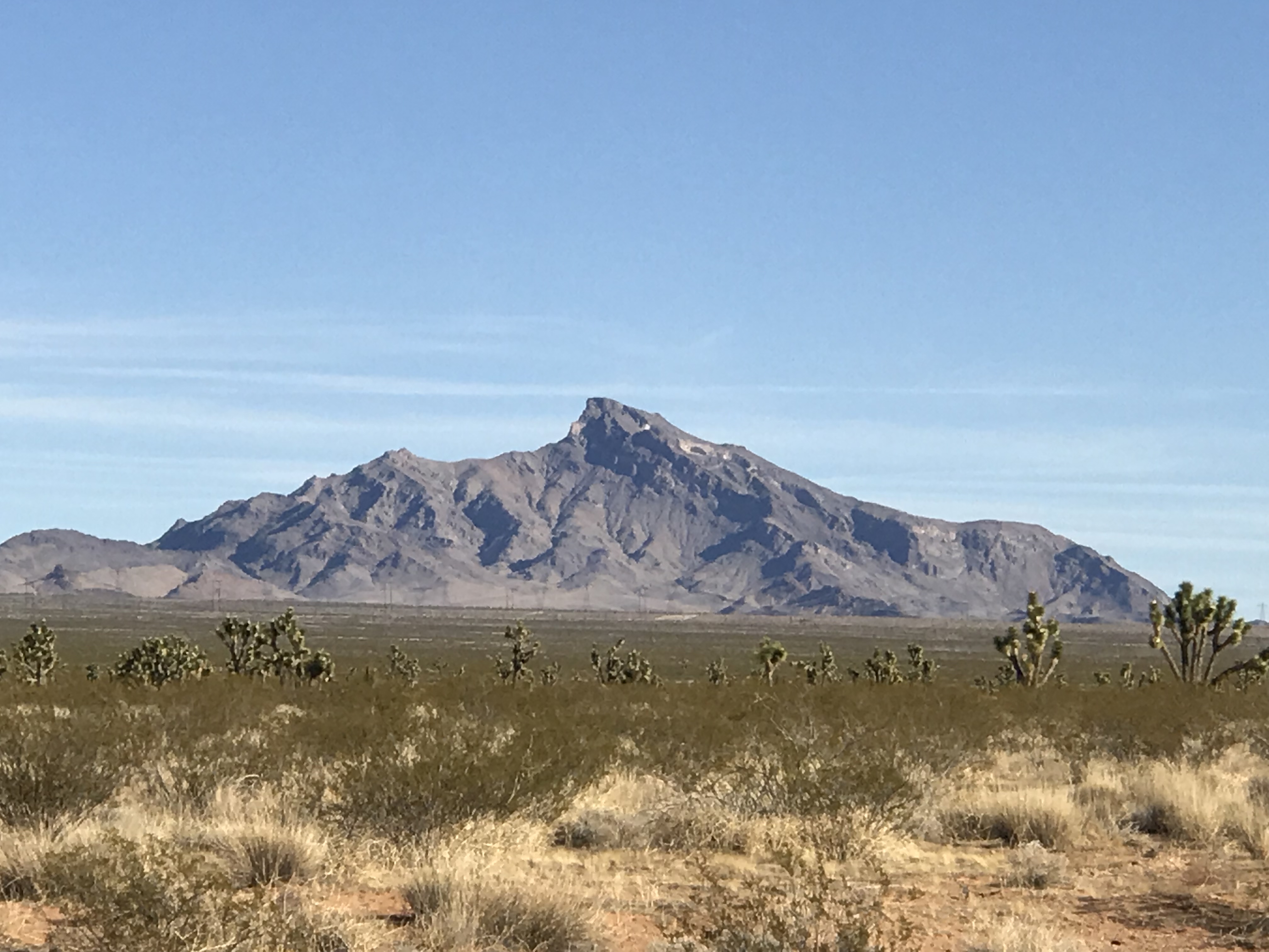
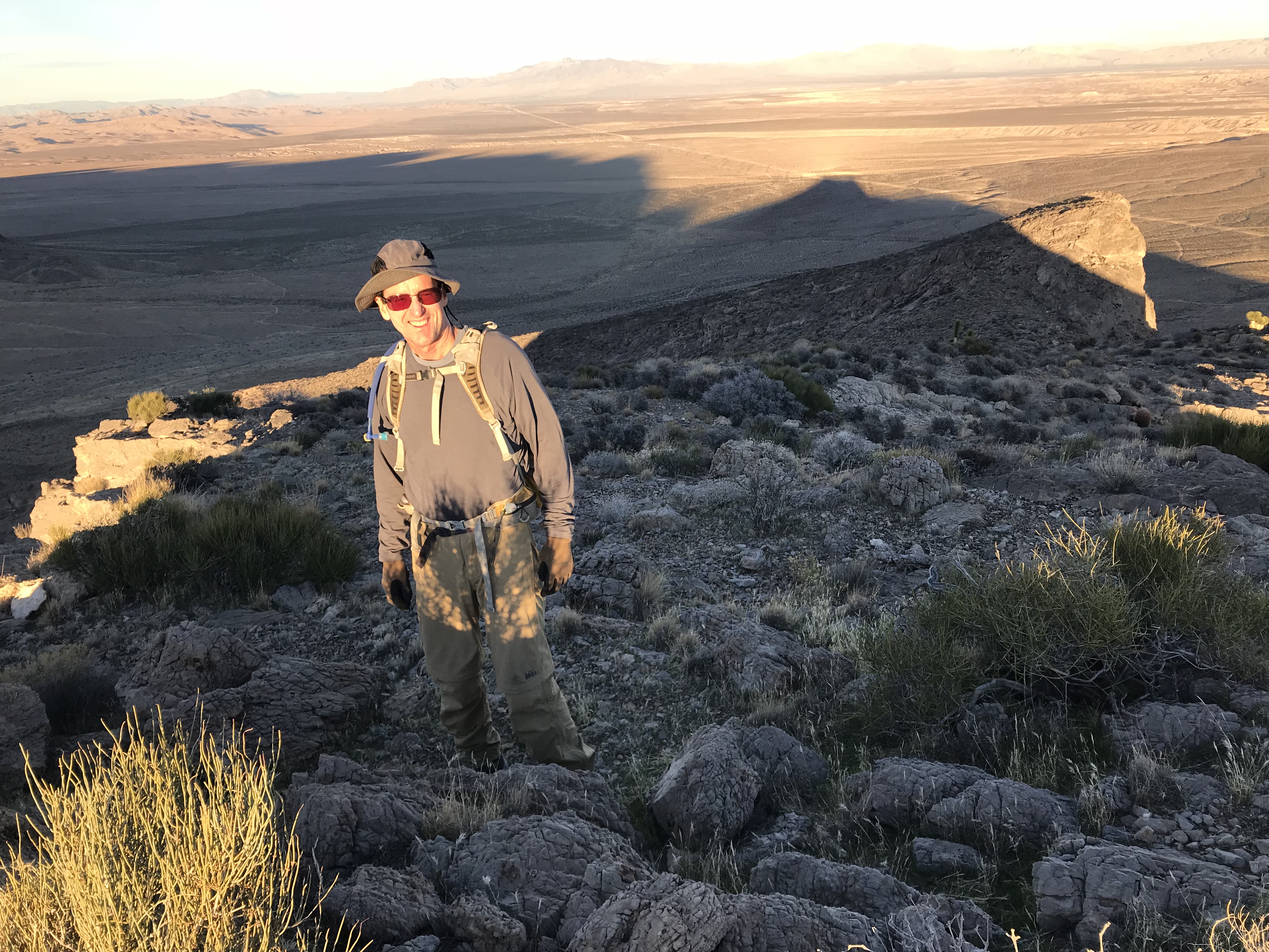
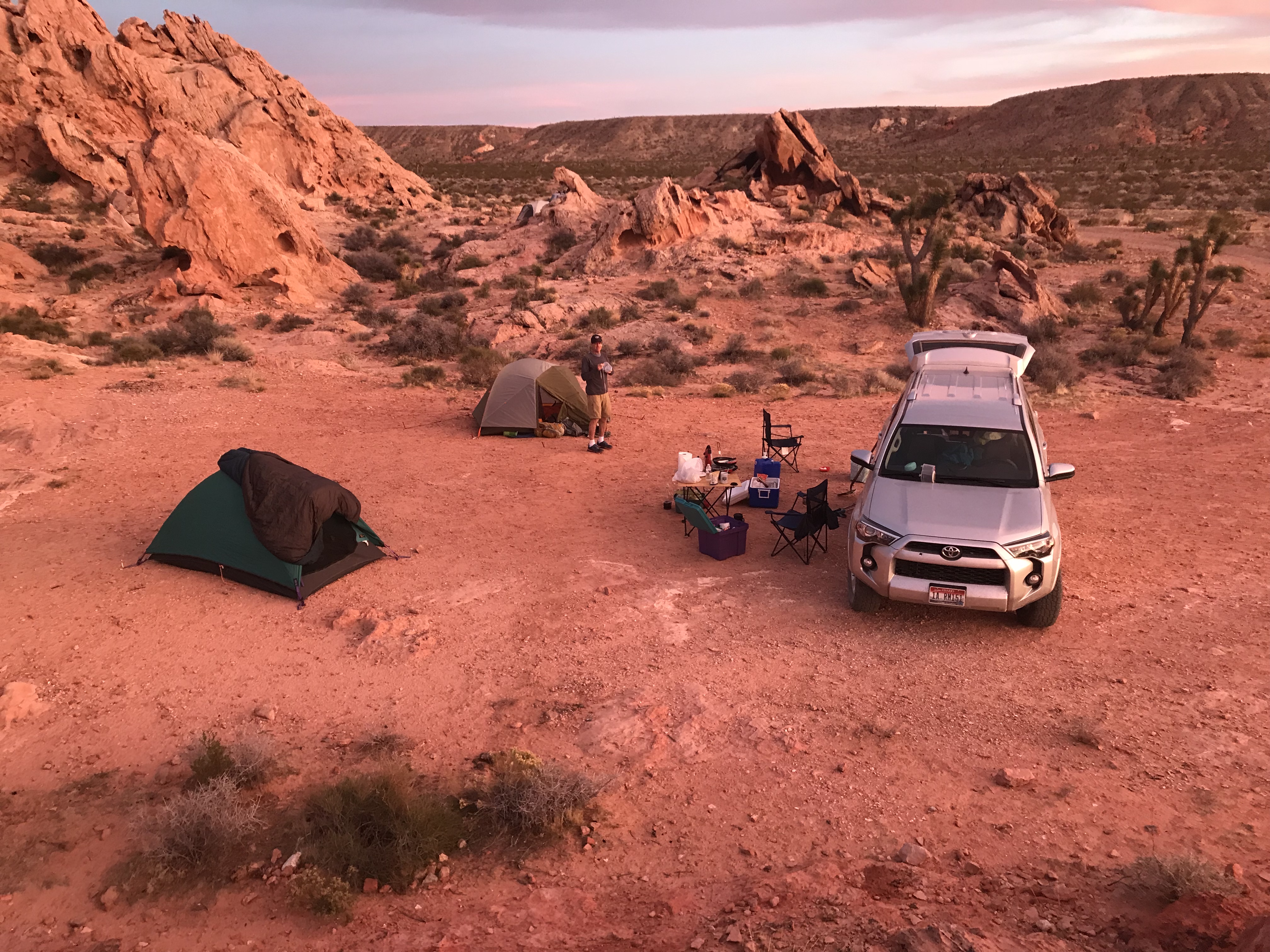
We pulled into the large but empty Dave Deacon Campground, set up our tents and headed for nearby Hot Creek Butte (6,005 feet). The butte is quite pronounced, sticking out of the flat valley floor.
Dave Deacon Campground at the Kirsch Wildlife Management Area south of Lund is a surprisingly nice place to camp. We woke up to 26-degree temperatures.
We were able to drive to the base of the peak’s North Ridge. The crux of the drive was opening a gate that was strung tighter than a violin.
Hot Creek Butte sits south of Dave Deacon Campground. Even though the hour was late, we found time to climb it.
Hiking up the North Ridge, we spotted a group of well camouflaged deer crossing over the ridge.
We climbed the North Ridge without much difficulty.
The summit ridge of Hot Creek Butte is a rugged spine.
We returned to camp at dusk and a pleasant sunset as well as a coyote symphony.
February and short days are synonymous. The sun sets at 5:00PM and it’s dark by 6:00PM.
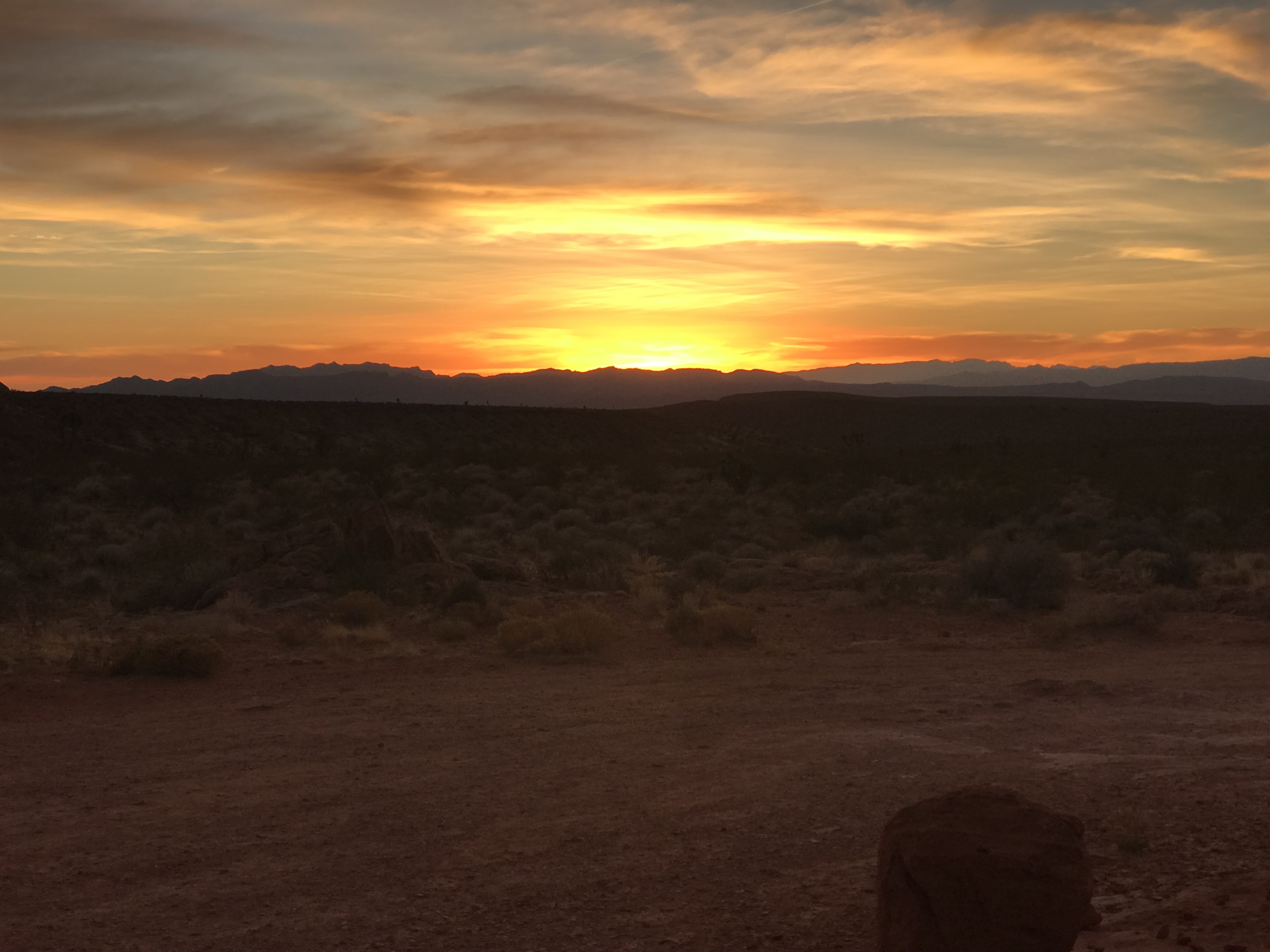
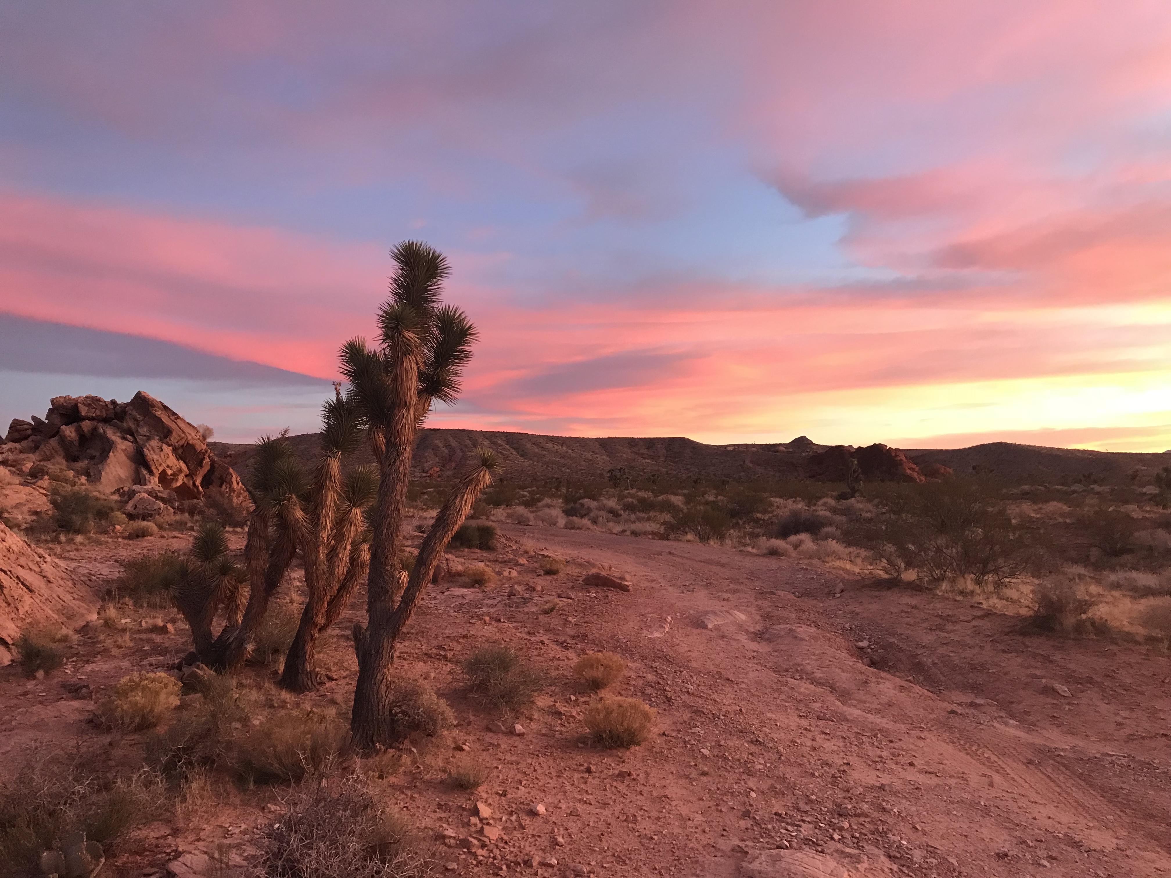
The warm day turned into a cold, moonlit evening. In the morning, we were treated to a “red skies in the morning” scene. We ate a quick breakfast, broke camp and headed for a group of peaks on the East Side of the valley.
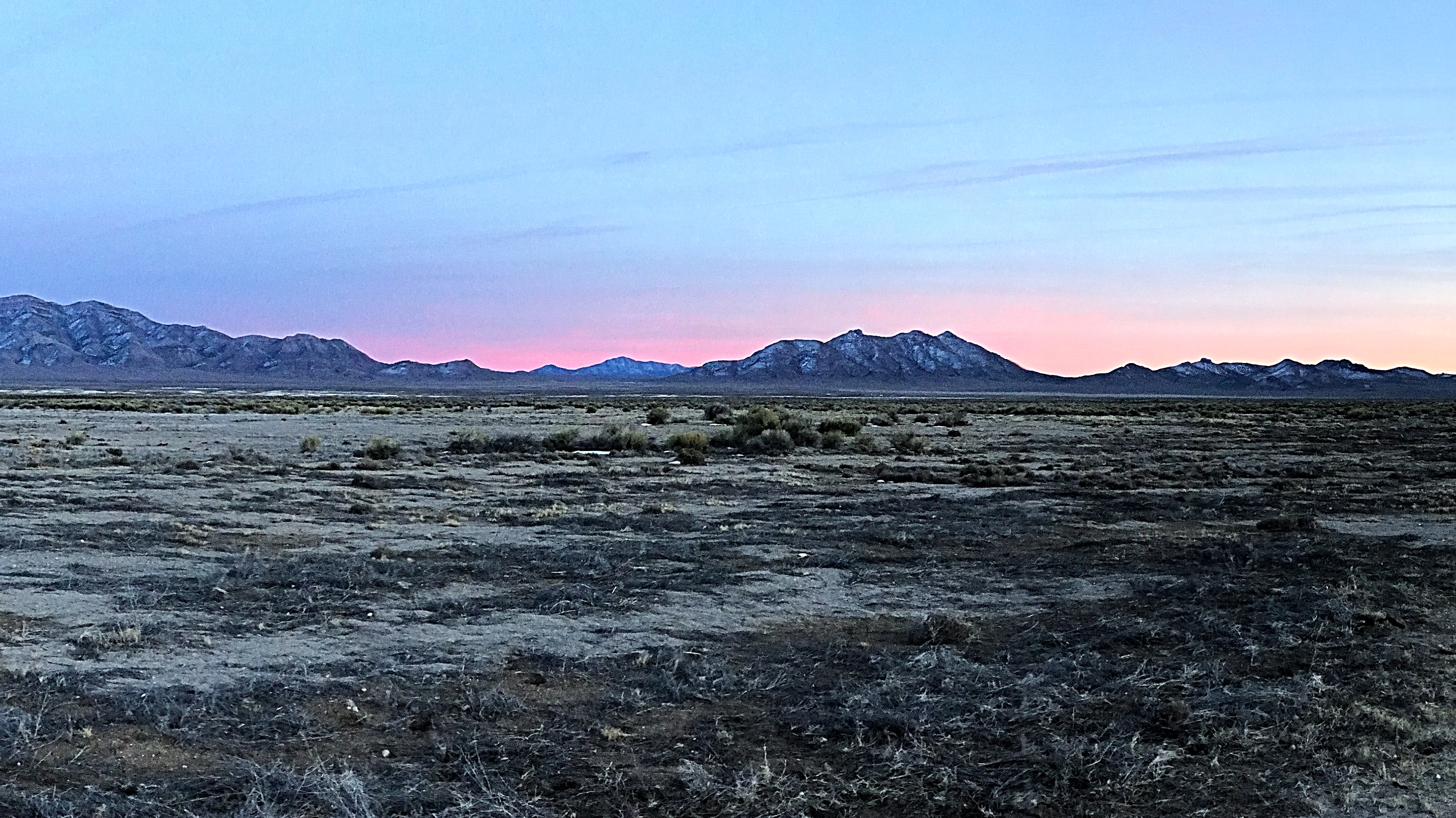
A 26-degree morning welcomed us to February.
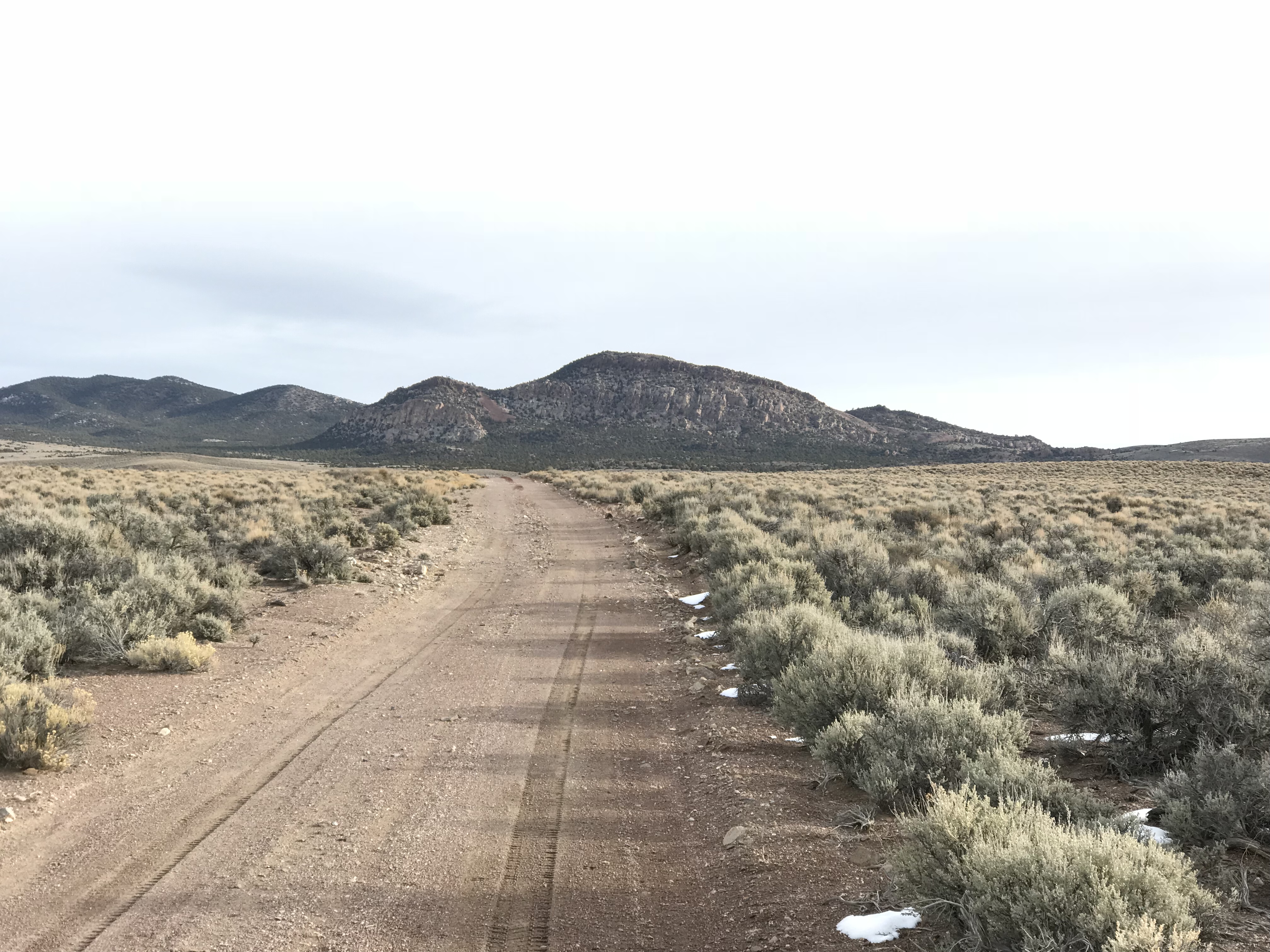
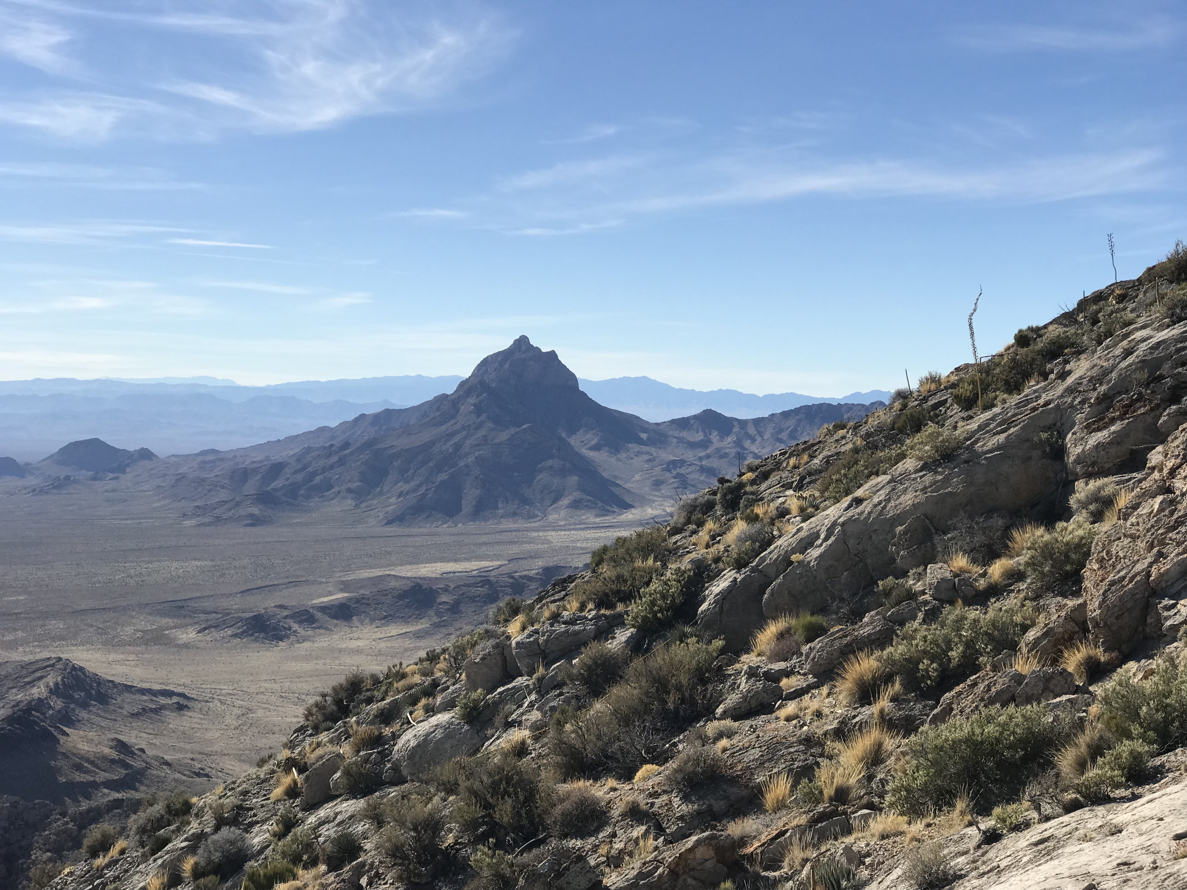
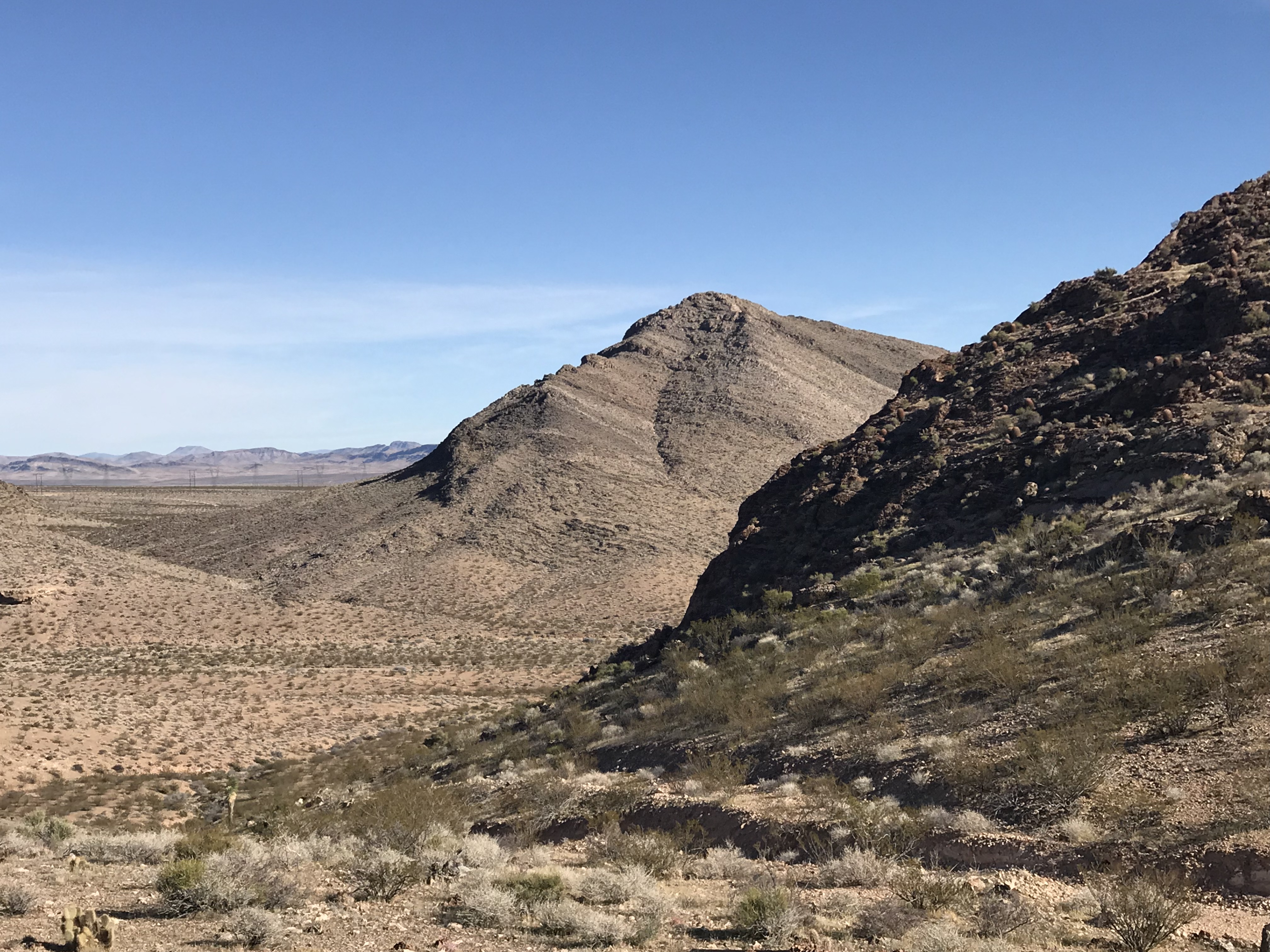
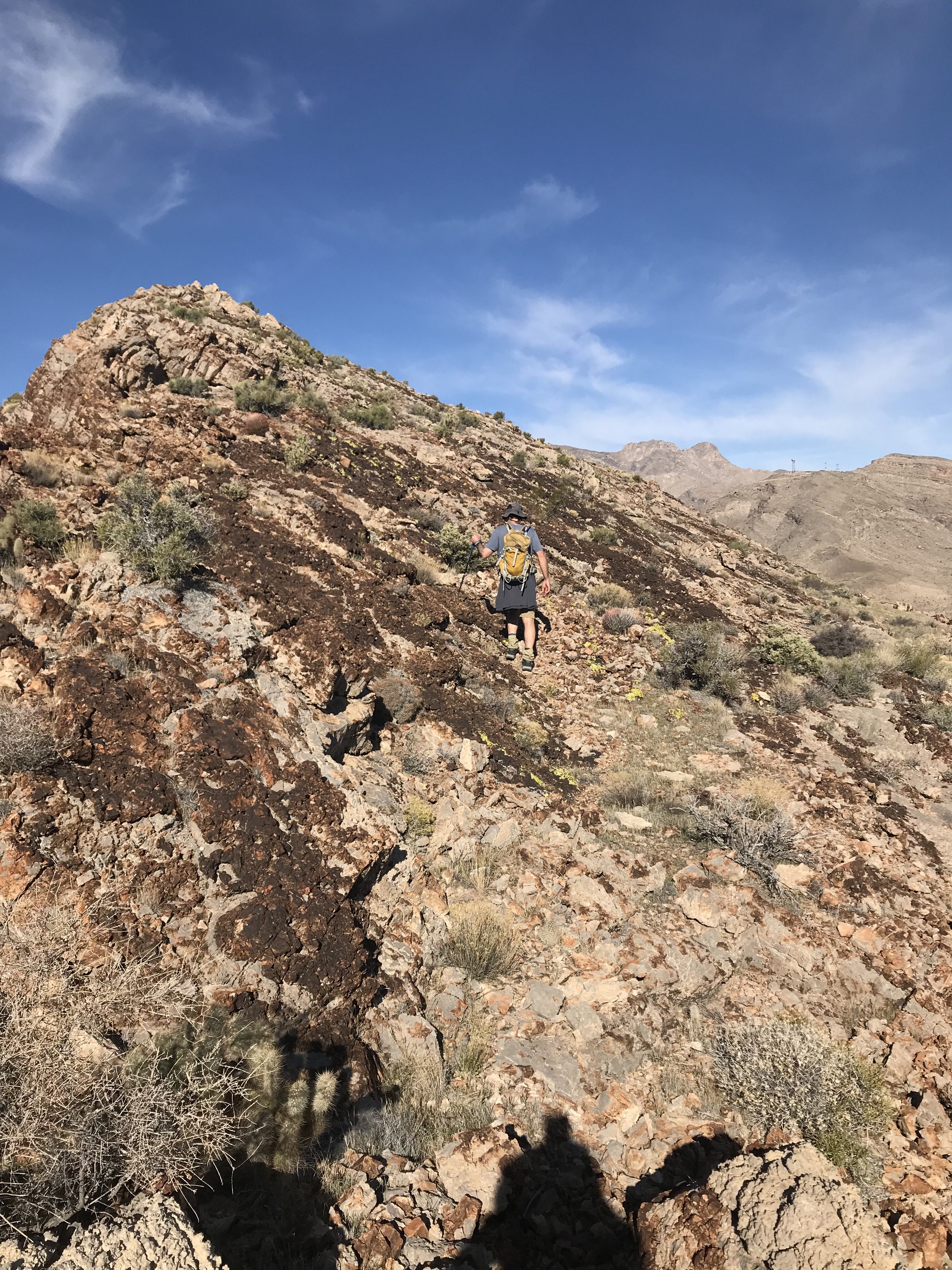
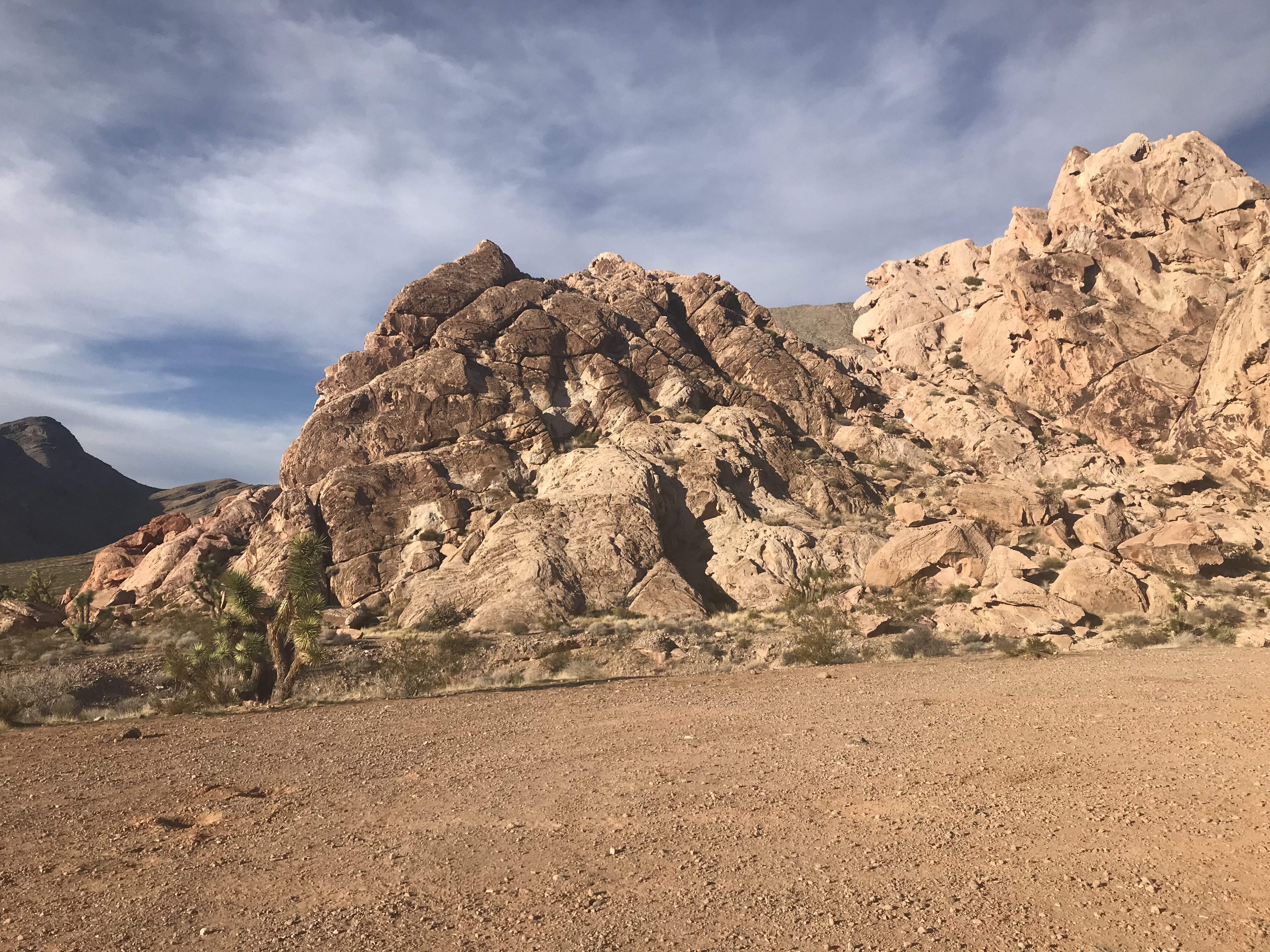
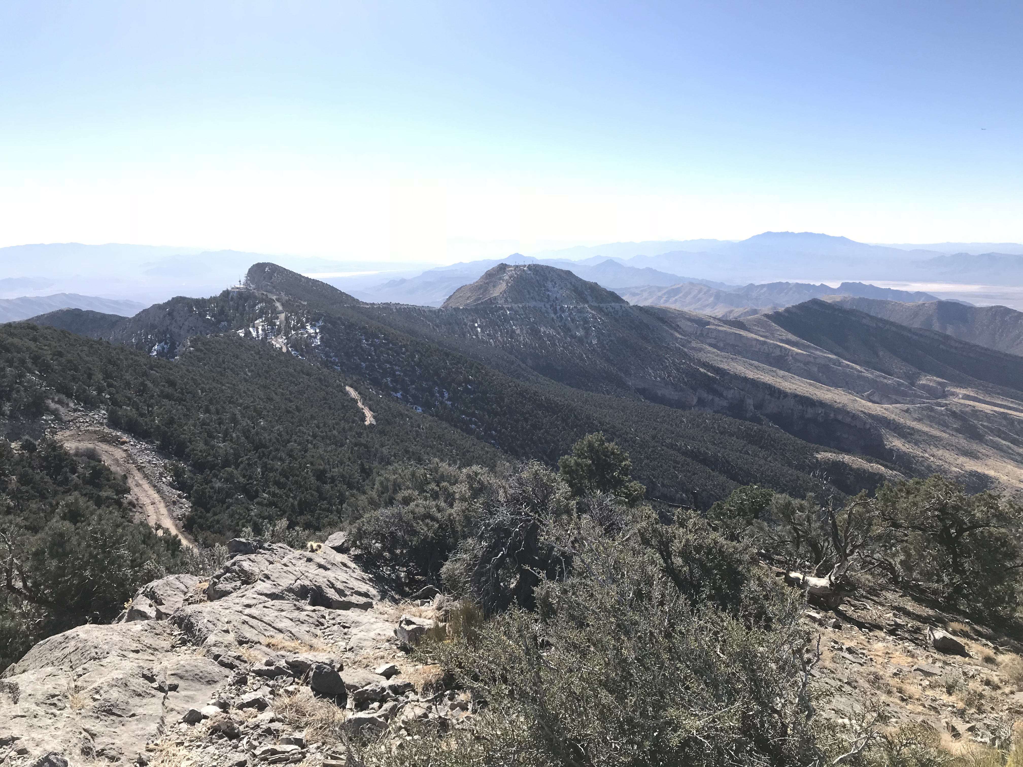
I had my eye on a group of 3 peaks that I suspected would be snow-free or nearly snow-free. Driving toward them from the northwest confirmed my speculation. The first peak (Peak 7195) is protected by cliffs on its Southwest Side so we proceeded to its South Face where we found a broken cliff band that we could traipse through.
Peak 7195 as viewed from the southwest.
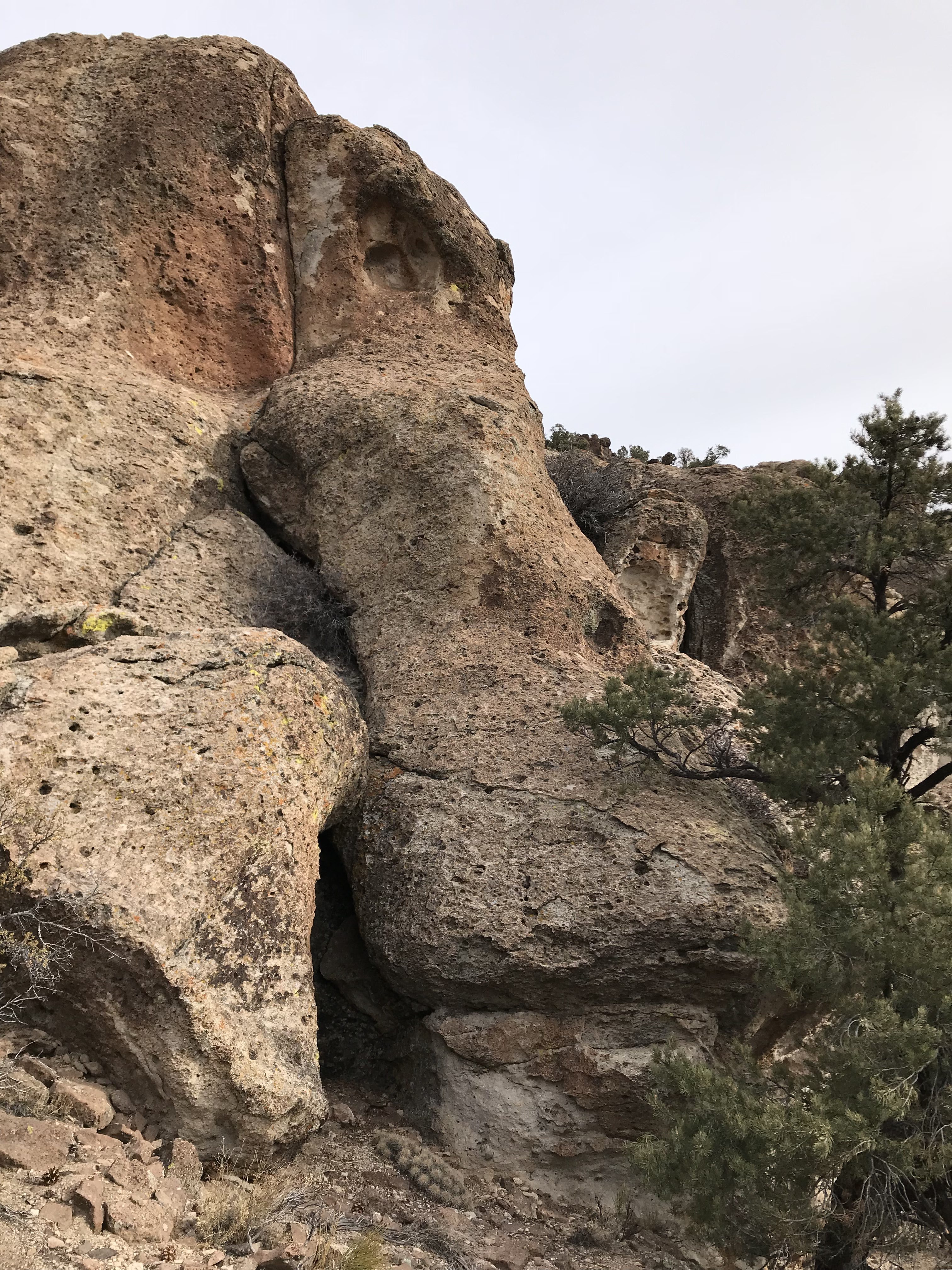
The South Face of Peak 7195 is a series of cliffs made up of broken boulders. Closer to civilization, this area would be a prime bouldering spot.
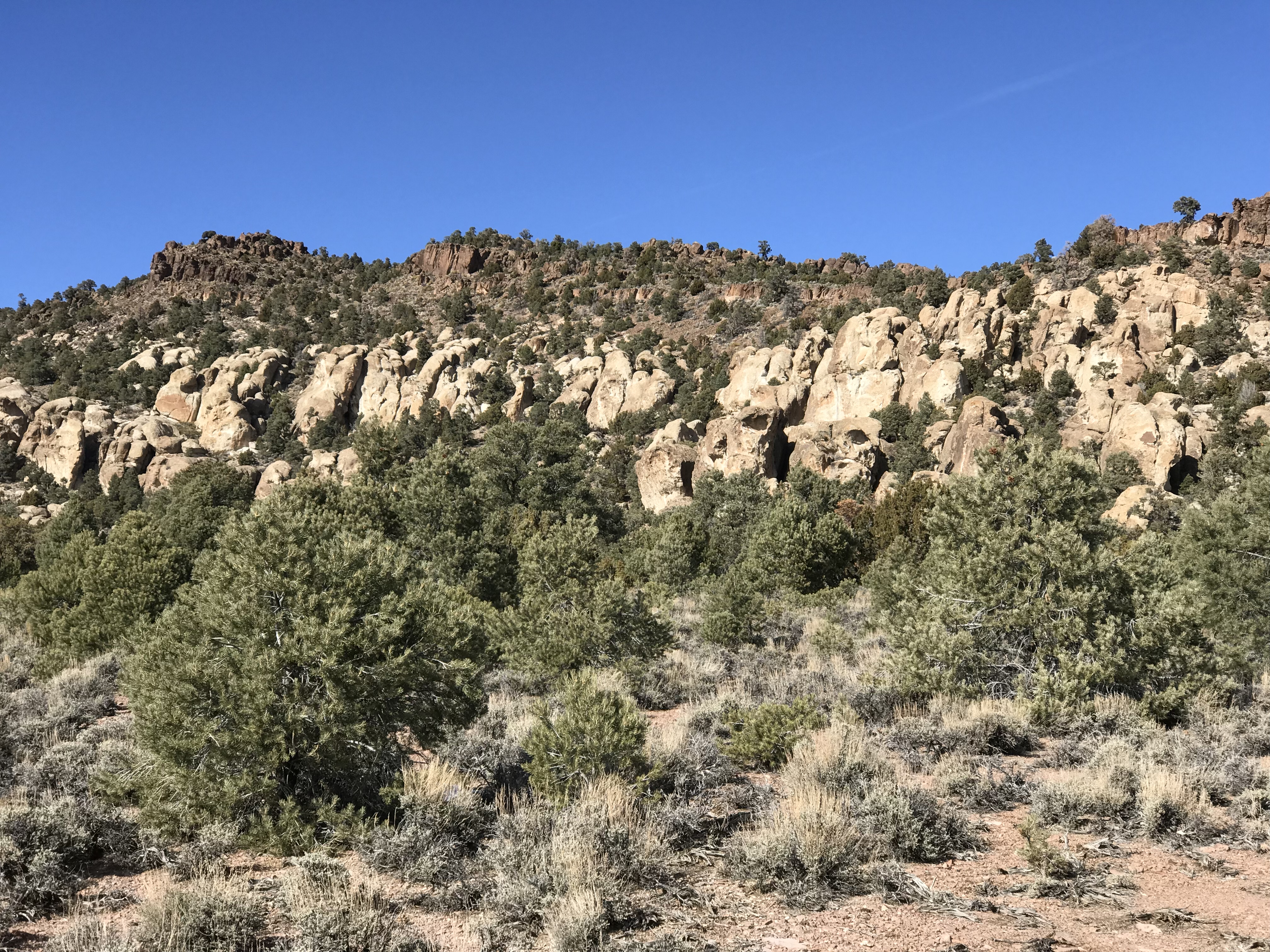
A wide-angle view of the boulder cliffs.
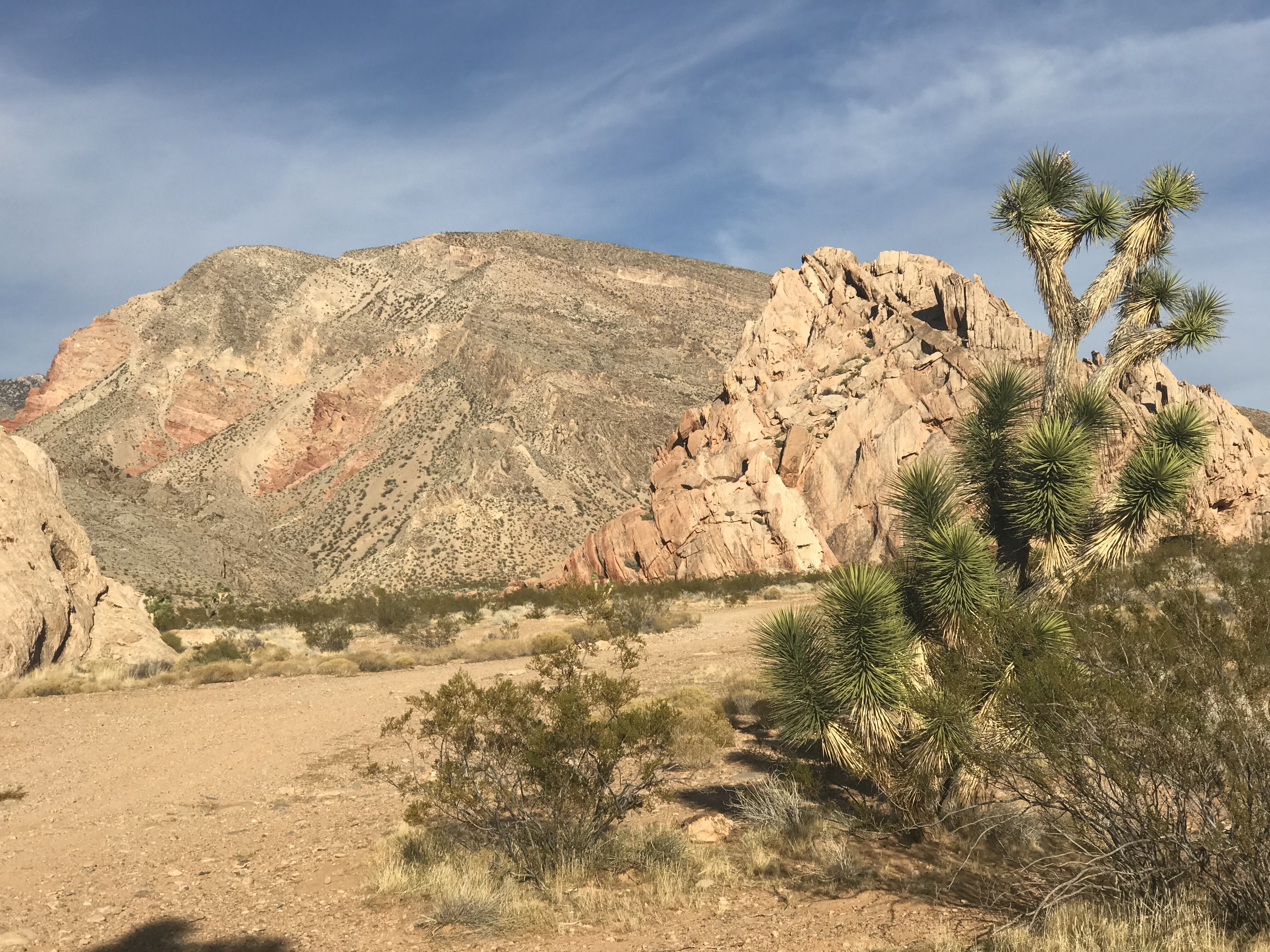
From Peak 7195, we headed northeast for 1.5 miles to the summit of Peak 7419. During this walk, we encountered our only significant snow on the trip on the Northeast Side of Peak 7195. The snow was around 6 inches deep and of recent origin.
Peak 7195 (left) and Peak 7418 (right).
We finished the day by making a quick ascent of Peak 6682 and then headed for the Pahranagat National Wildlife Refuge which is located along NV-318 south of Alamo, Nevada. The USFWS describes this refuge as follows:
“Few landscapes are as contrasting as Pahranagat National Wildlife Refuge’s (NWR) lush wetlands and the surrounding Mojave Desert. Nourished by life-giving waters of Crystal and Ash Springs, Pahranagat National Wildlife Refuge offers wetland and riparian habitats for thousands of migratory birds, numerous birds of prey, deer, reptiles, small mammals, and rare fish.
In 1963, the U.S. Fish and Wildlife Service recognized the value of the Pahranagat Valley and designated 3,916 acres of lakes, marshes, meadows, and desert uplands as Pahranagat NWR. Later land acquisitions expanded the refuge to its present size of 5,382 acres.
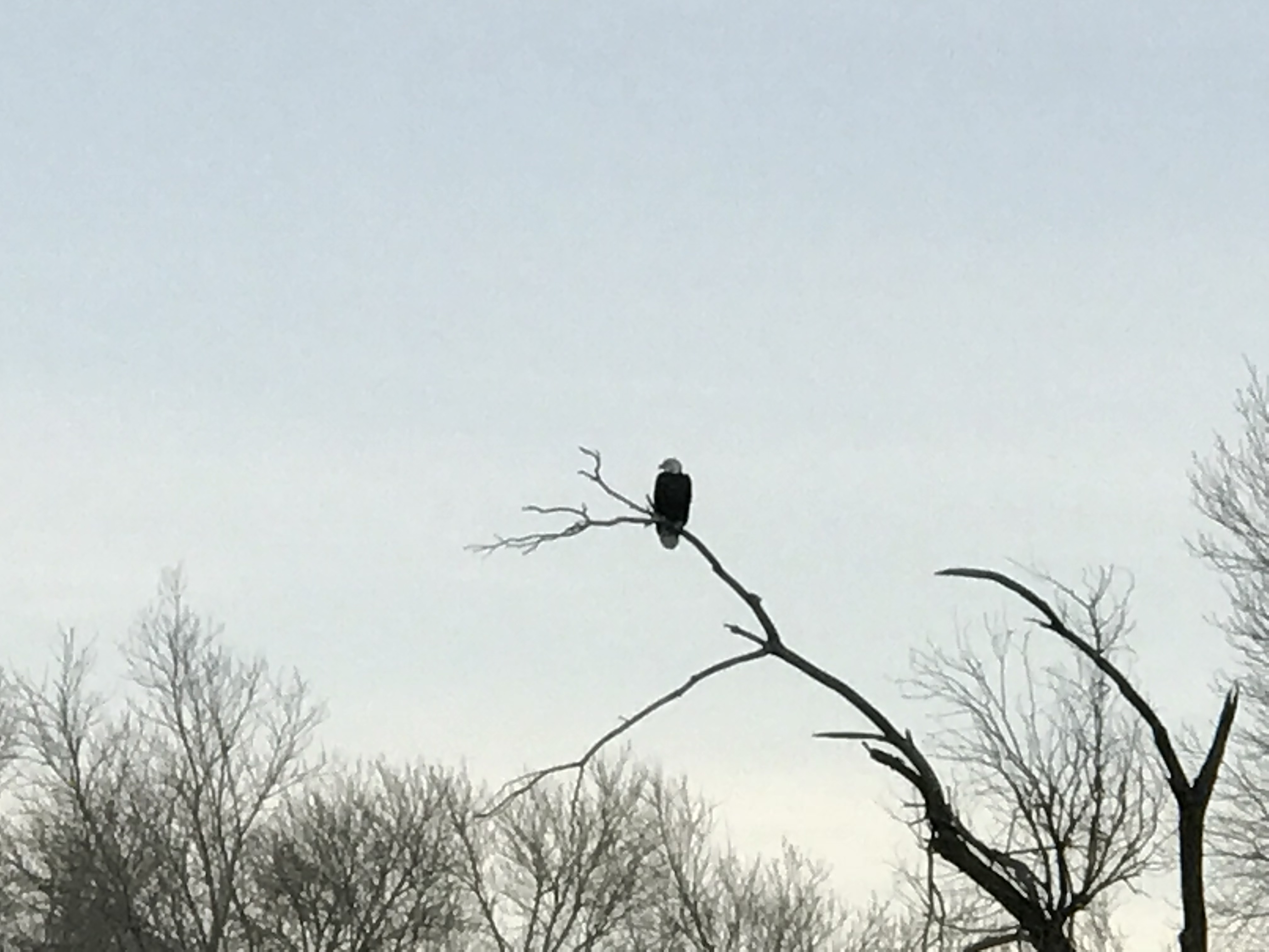
Pahranagat NWR is located on the Pacific Flyway, a major North-South migratory route along the western coast of the United States. Hundreds of birds stop here to rest and refuel during their long journeys. In the Spring and Fall, the migration of hundreds of unique bird species makes Pahranagat a birdwatcher’s paradise. Many bird species also breed and overwinter here.
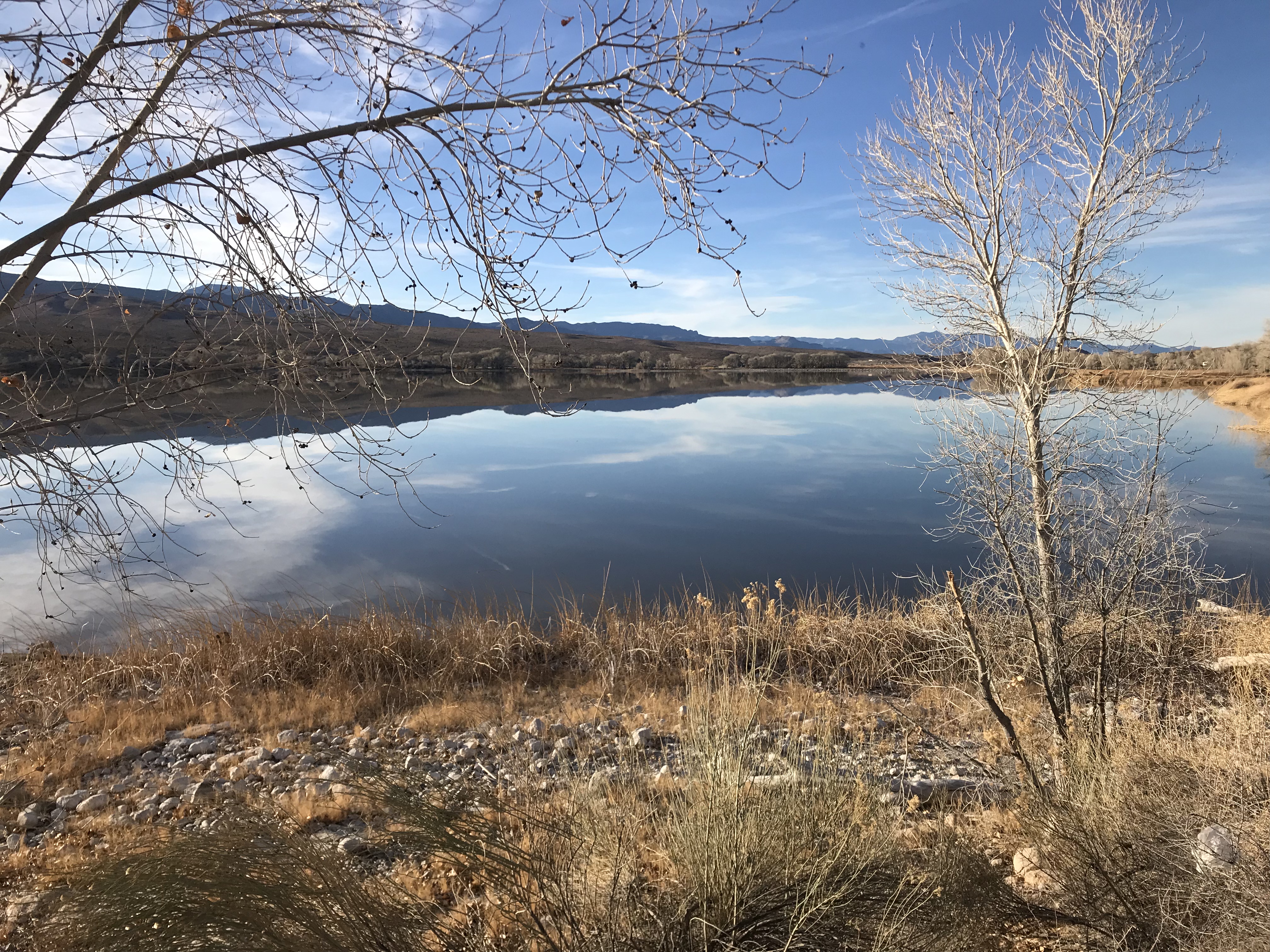
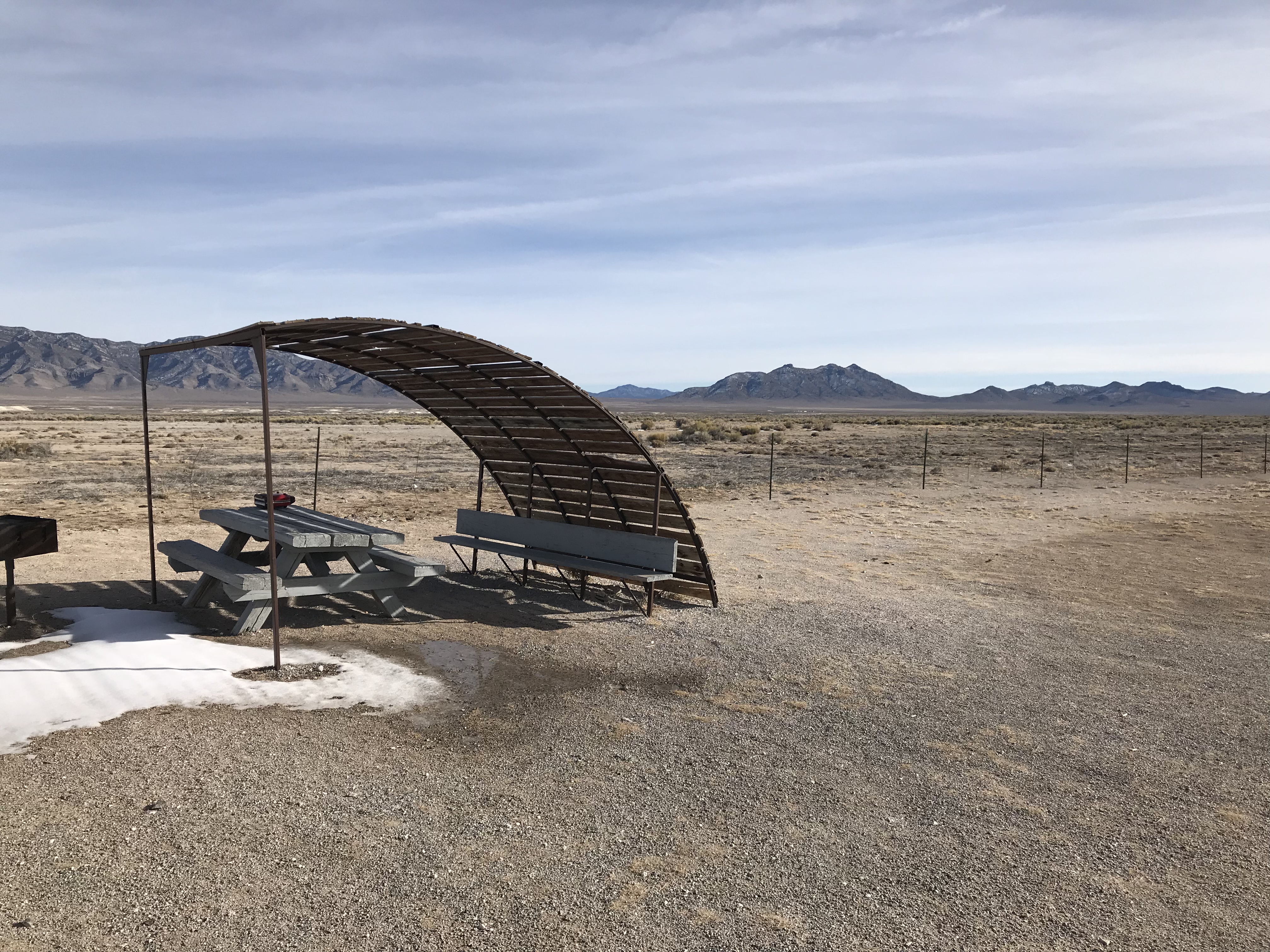
The view from Campsite #8.
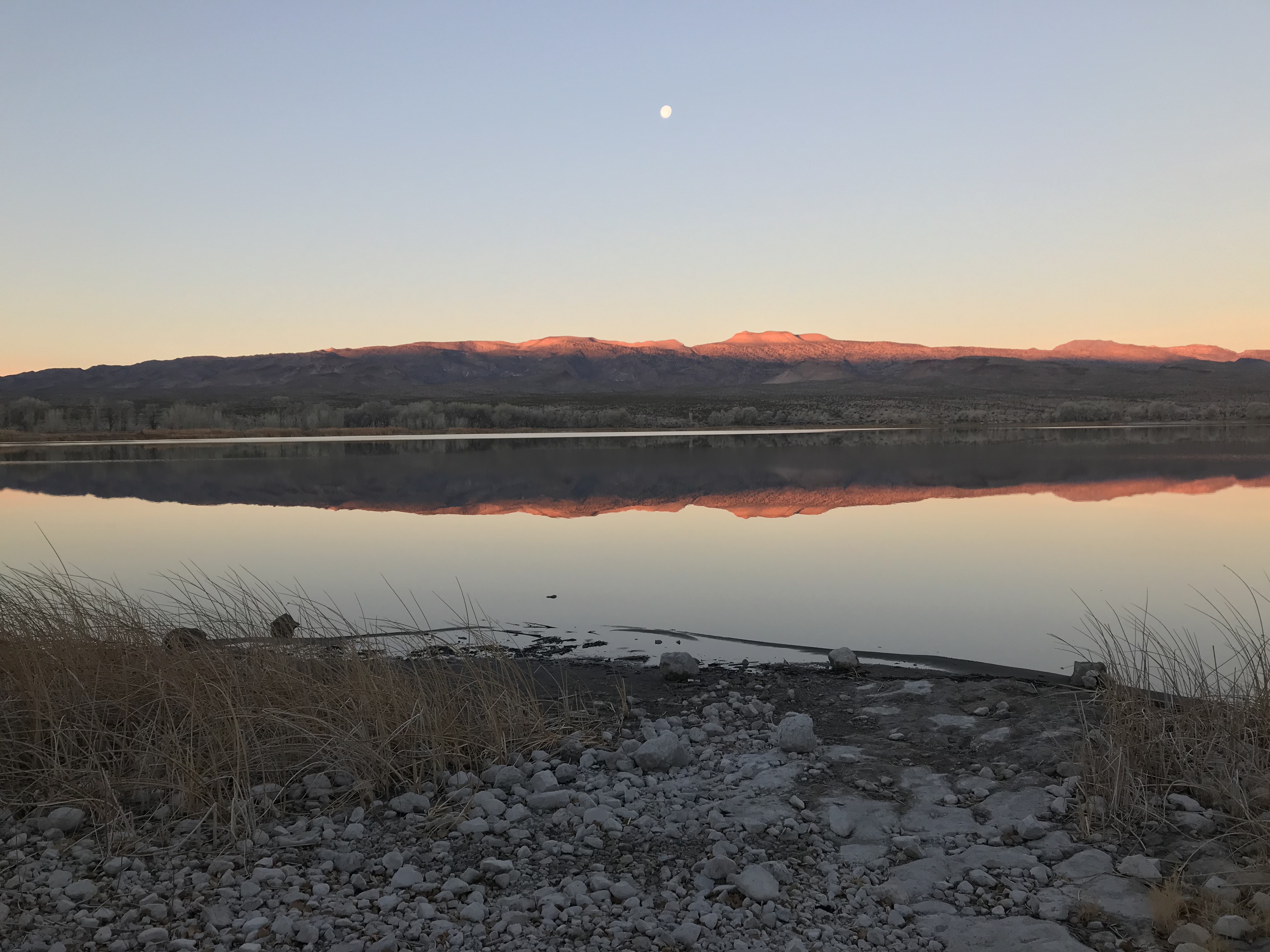
Morning at the refuge.
The refuge has a nice campground along the upper lake and, although the campsites are near the highway, we found a pleasant campsite.
On Day 3, we got an early start and headed for Davidson Peak which is located west of I-15 and north of Glendale, Nevada. Relying on Andy Zdon’s Desert Summits guidebook, we took the worst approach to the peak. Nevertheless, after several wrong turns and a side trip up Beacon Peak, we were ready to scale Davidson Peak.
Davidson Peak as viewed from the south.
The East Ridge was anything but straightforward and involved a long traverse across a shelf to avoid cliffs at one point but, for the most part, the climbing was easy.
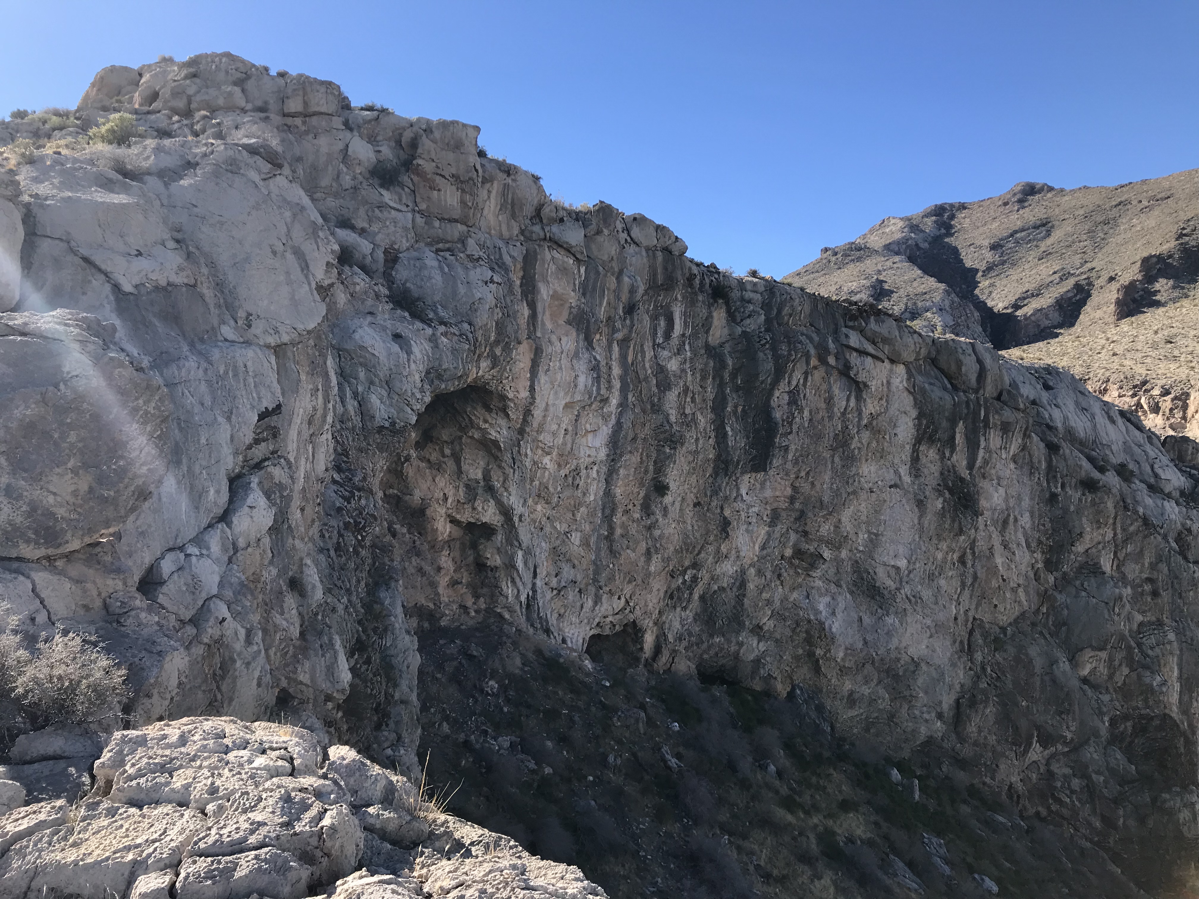
Davidson Peak, like most of the peaks we climbed, is composed of limestone and has its share of impressive cliffs.
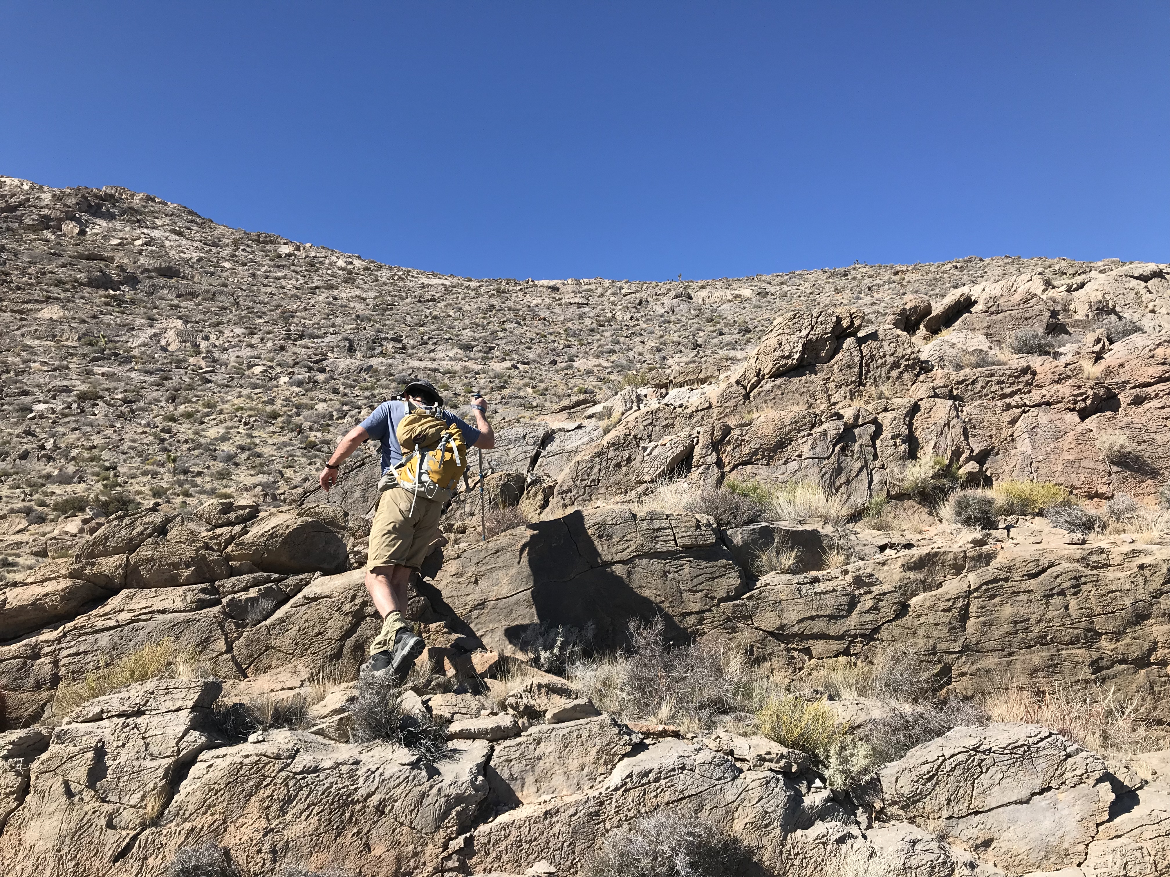
Pat exiting the traverse below the cliff band on the East Ridge.
Moapa Peak as viewed from Davidson Peak.
The summit of Davidson Peak.
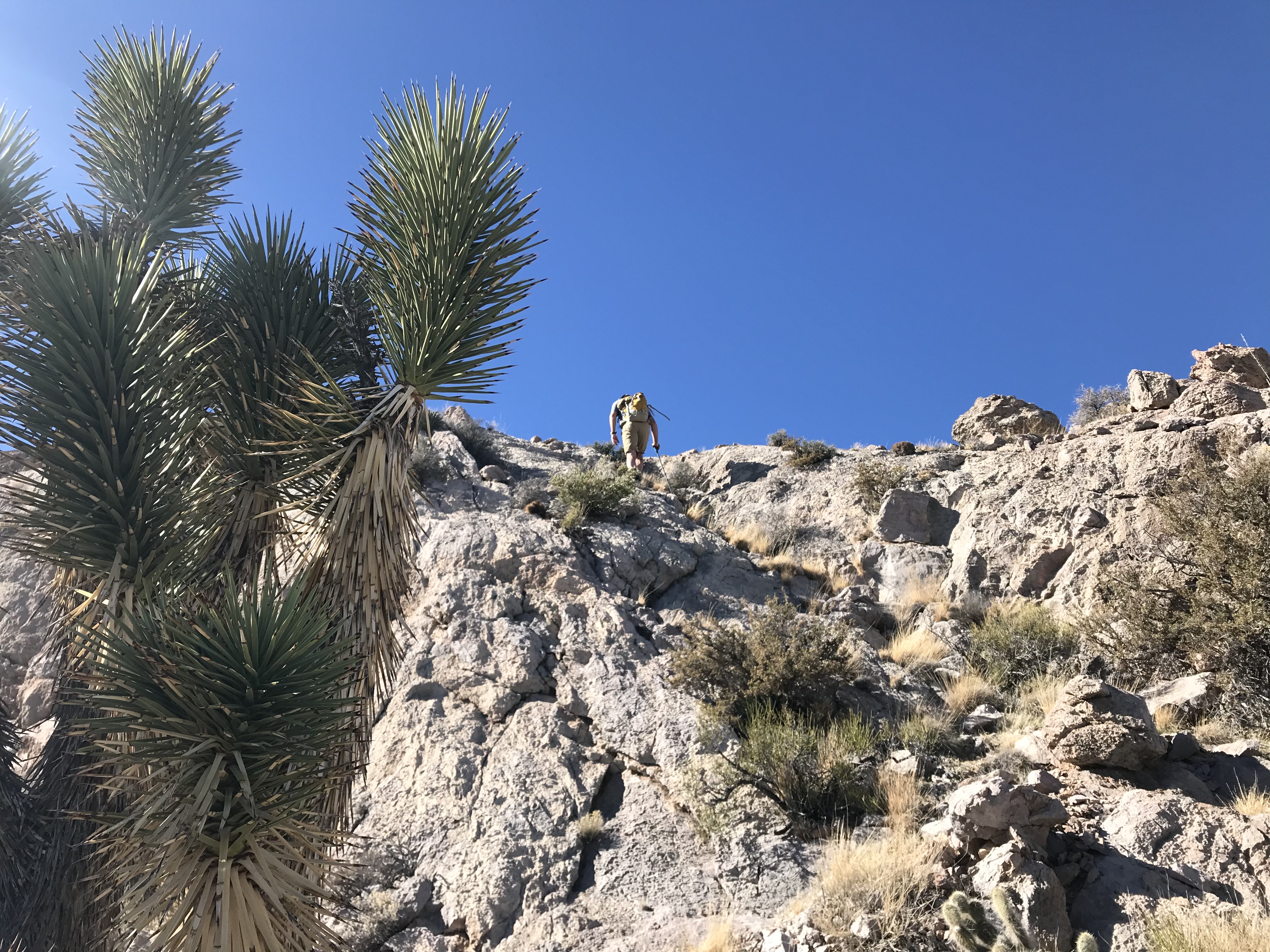
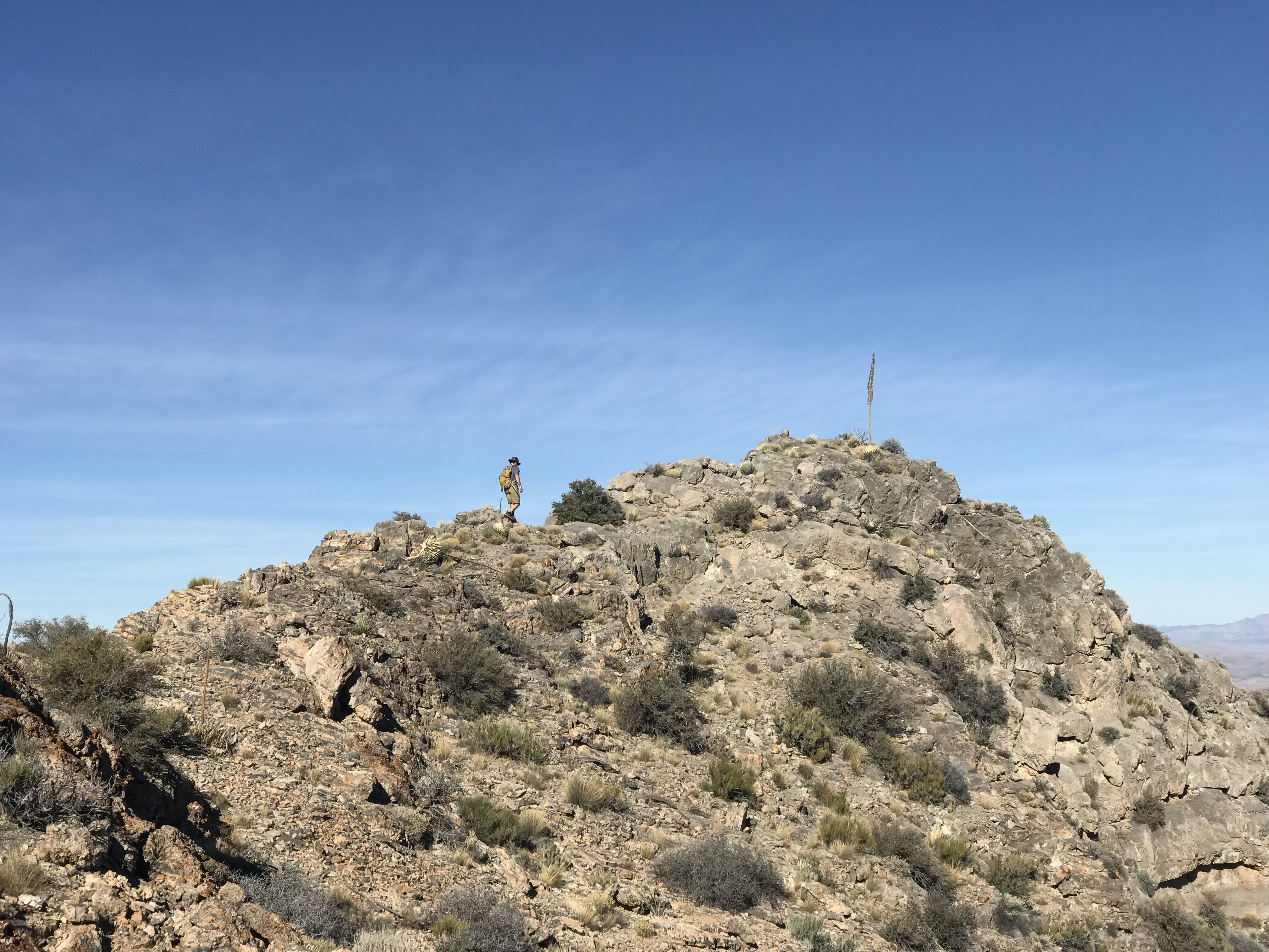
During my climb of Davidson Peak, I realized I was not in tip-top condition and was looking forward to an early night. We drove to nearby Little Davidson Peak which has a road that leads to an electronics site roughly 200 feet lower than the actual summit. The sun was quickly setting and we decided to try to find a route to the actual summit which, as far as we could tell, was completely protected by cliffs. We climbed to the base of the 30-foot plus cliffs and decided to follow their base to our left. Pat took the lead and eventually found a spot on the peak’s North Side where we could surmount the now 6-foot high cliff and walk to the top. We hurried to the summit and then back to the truck to set up camp.
Little Davidson Peak
Pat on the summit of Little Davidson Peak about 10 minutes before sun set.
Our evening on the lower summit of Little Davidson Peak was highlighted first by a star show and then by the moon rising over the desert. In the morning, we got a running start and climbed 2 nearby peaks by 10:00AM.
Peak 3100 sits east of Davidson Peak.
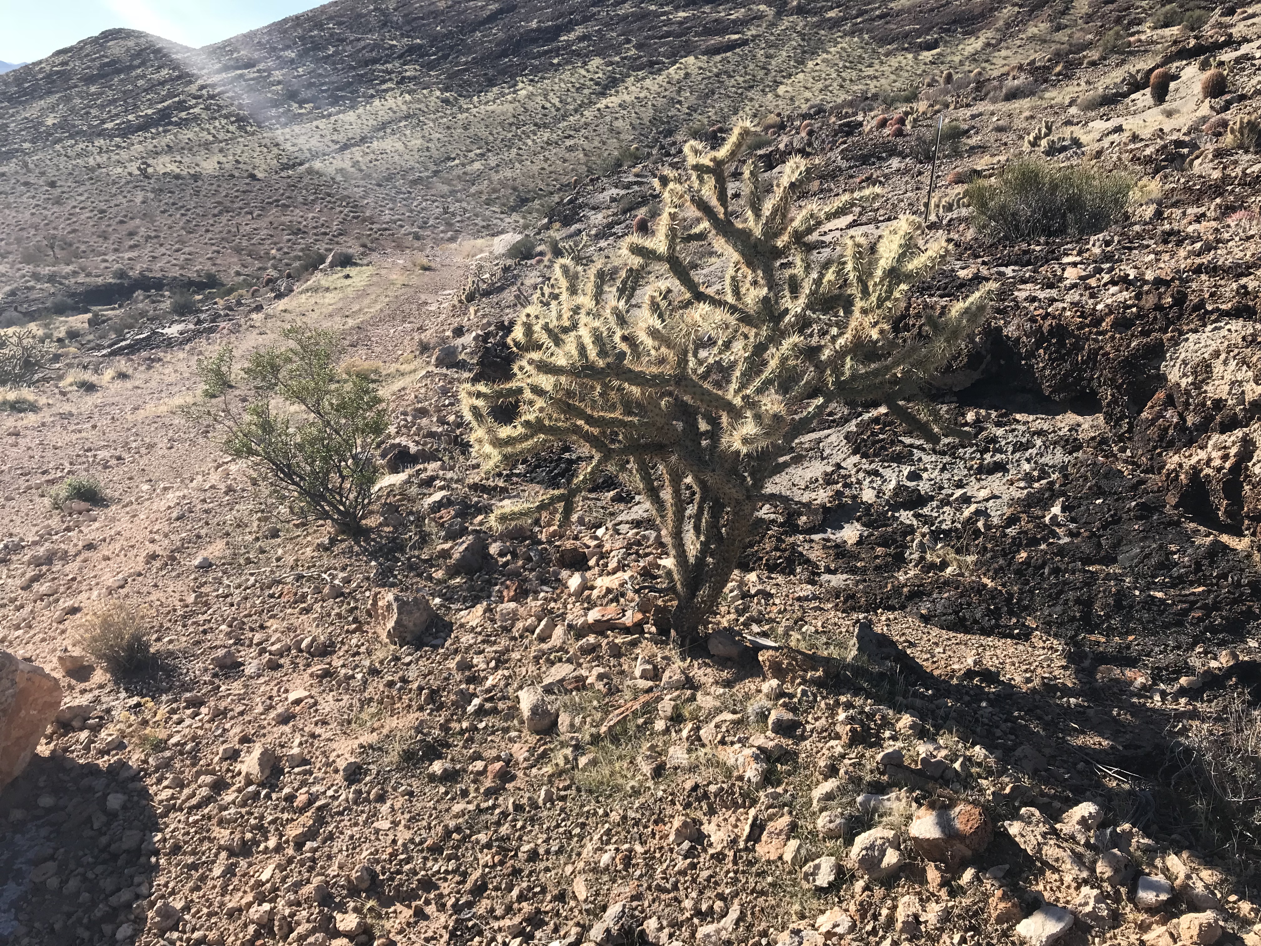
Cholla
Prickly Pear
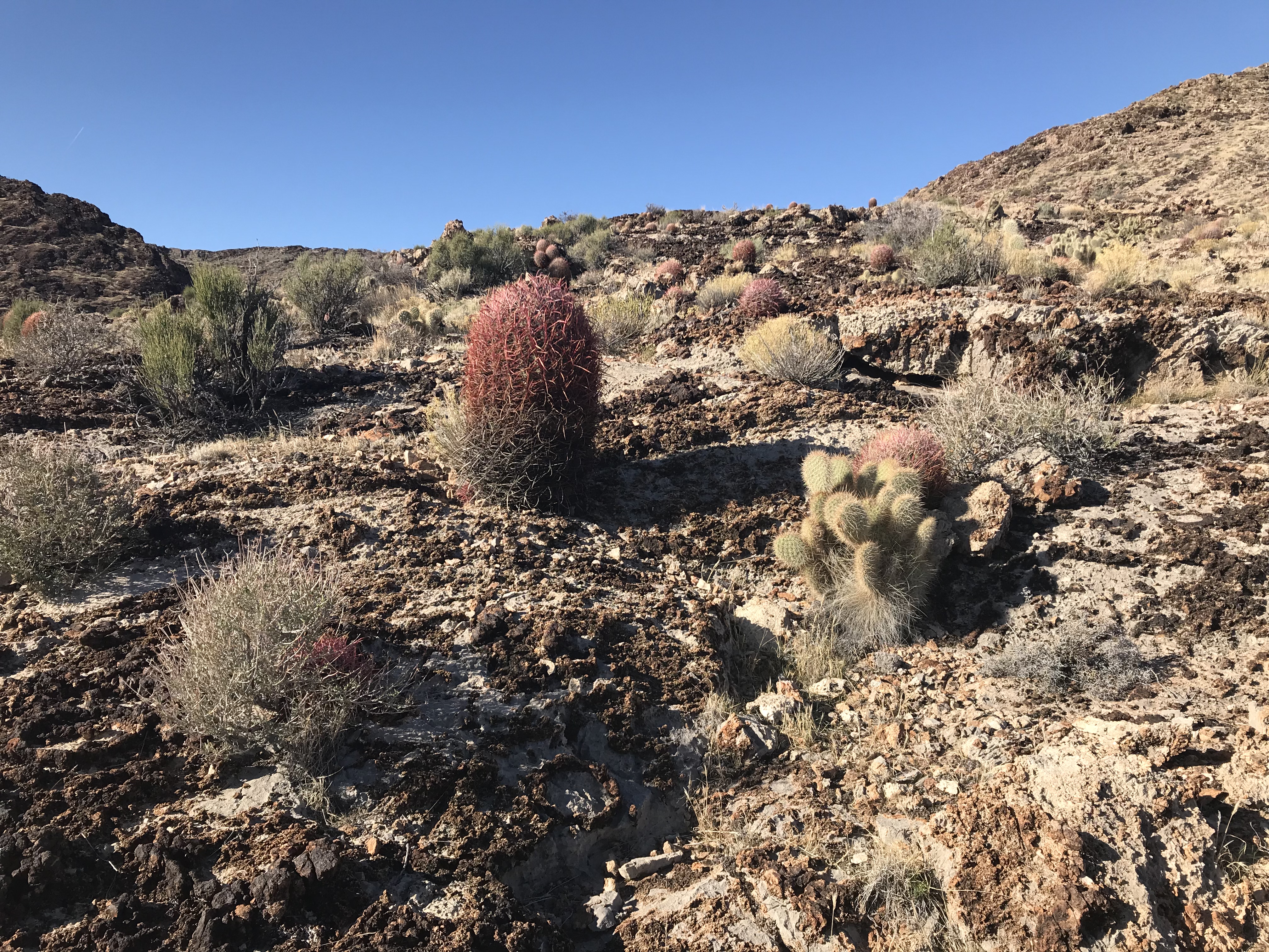
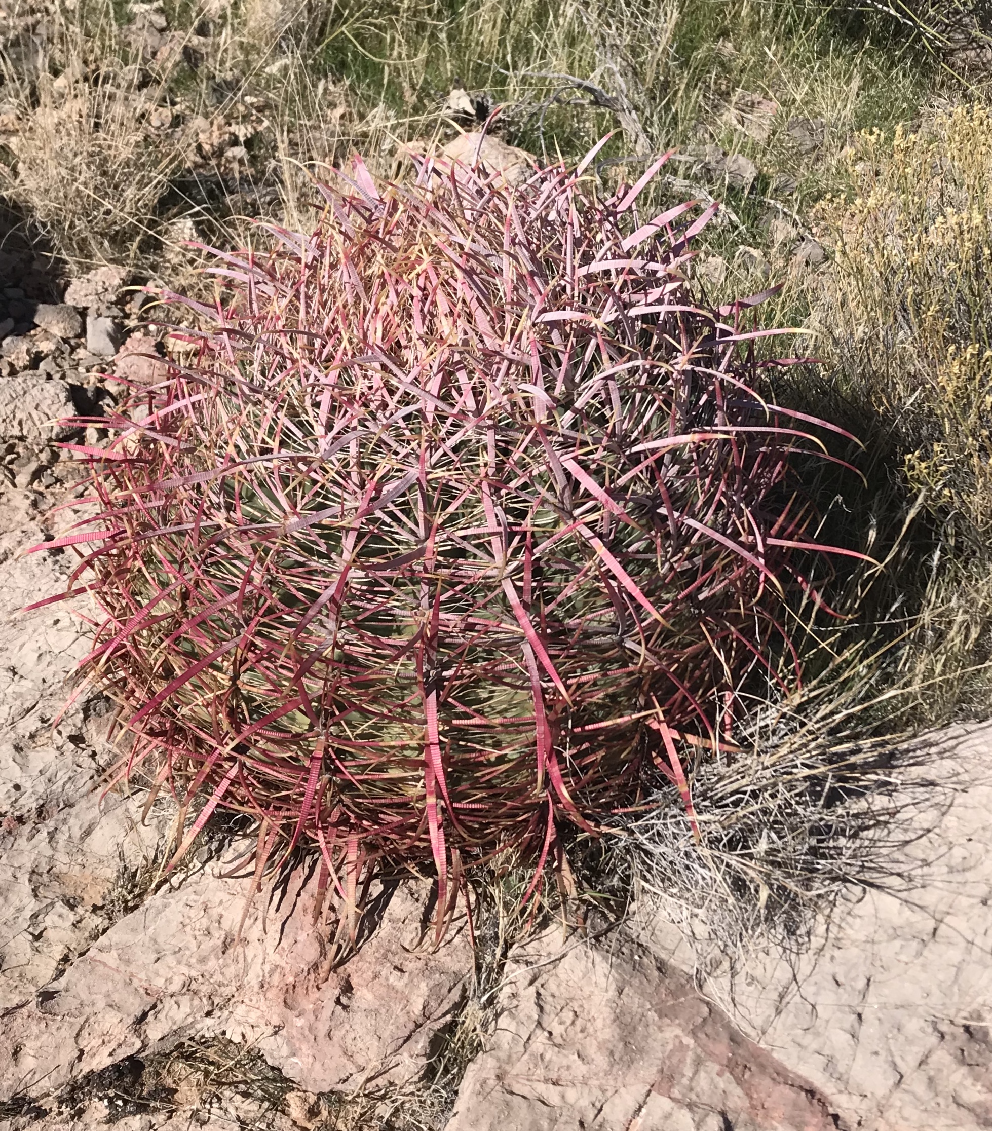
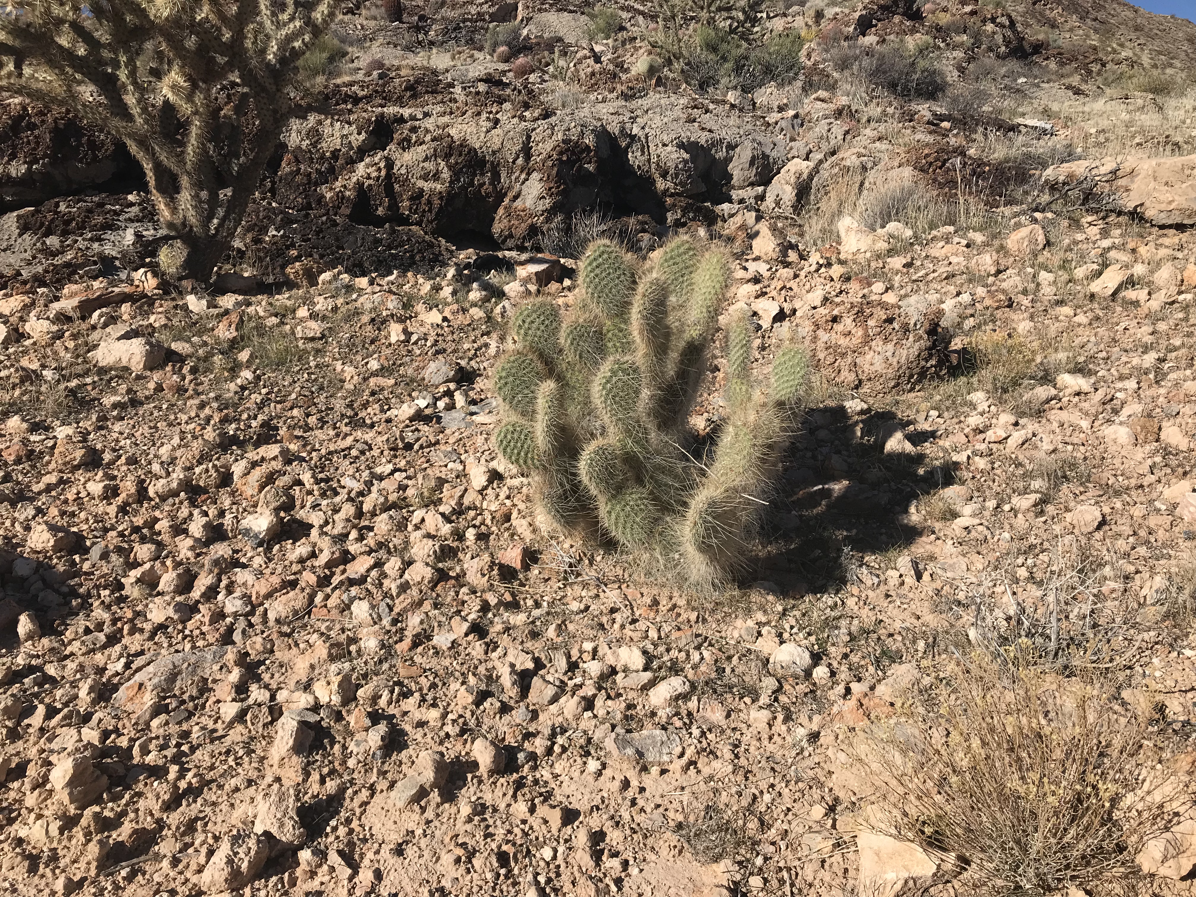
Barrel Cactus
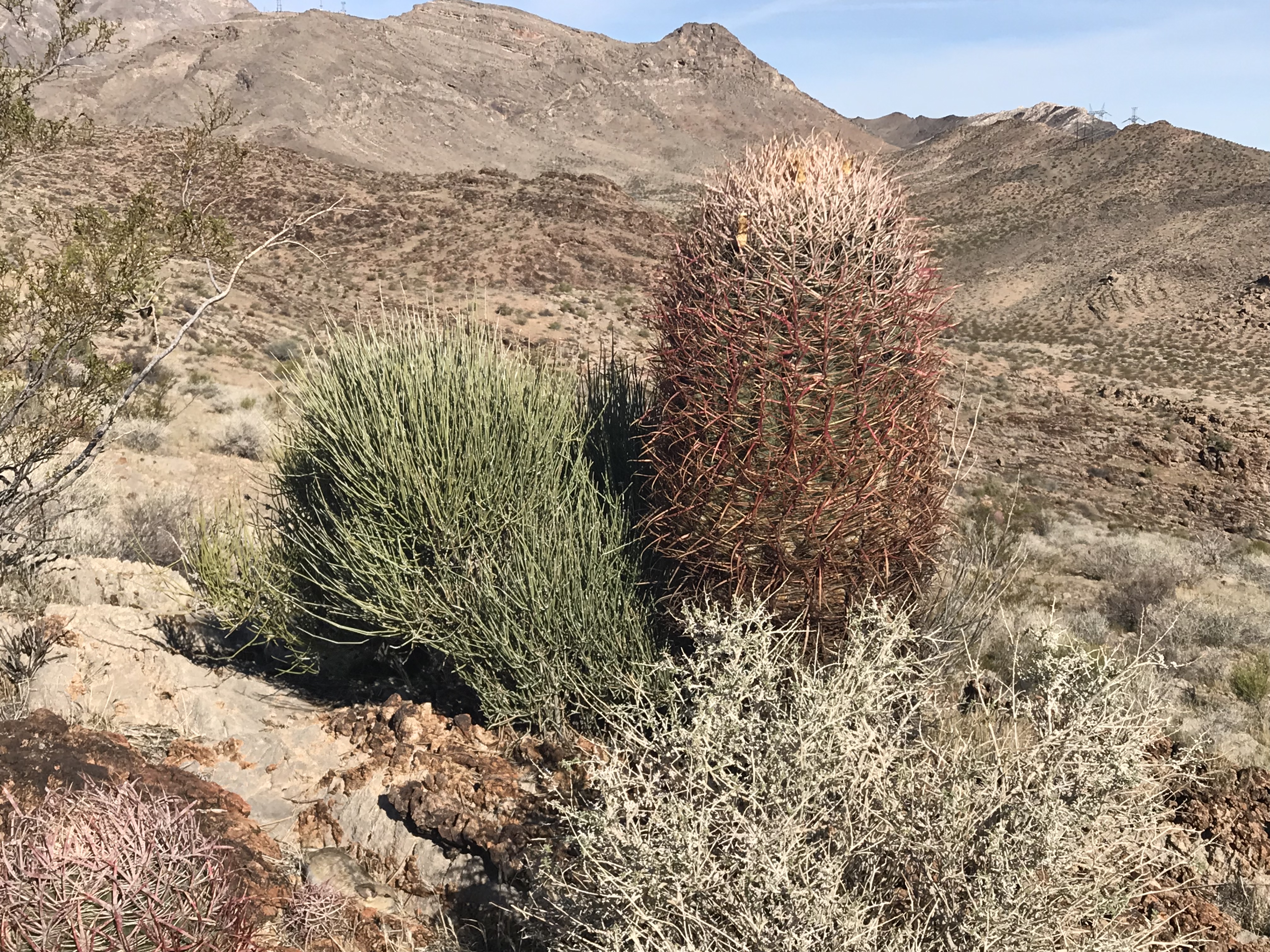
The terrain in this area is populated by cactus and creosote as well as a number of hardy grasses.
The summit of Peak 3180.
Gold Butte National Monument is located northeast of Las Vegas and east of Mesquite, Nevada. The monument includes 300,000 acres of rugged desert landscape. The BLM correctly describes the monument’s landscape as “dramatically chiseled red sandstone, twisting canyons, and tree-clad mountains punctuate [by] desolate stretches of the Mojave Desert.” The monument was not on our original itinerary but, at Pat’s suggestion, we changed our plans.
The monument provides critical habitat for bighorn sheep and desert tortoises. It is also popular with ATVers and sightseers looking for rock art sites and mining remnants including a ghost town. We reached the area via a BLM backcountry byway that begins 90 miles northeast of Las Vegas and 5 miles south of Mesquite/Bunkerville on I-15, Exit 112. The route is roughly paved at first. The first highlight along the way was the Cliven Bundy Ranch. The paved road ends at an area known as Whitney Pockets, an area of sandstone towers that reminded me of Idaho’s City of Rocks.
A Whitney Pockets formation.
We found an isolated campsite below one of the sandstone formations and were treated to a spectacular evening light show.
Camp at Whitney Pockets.
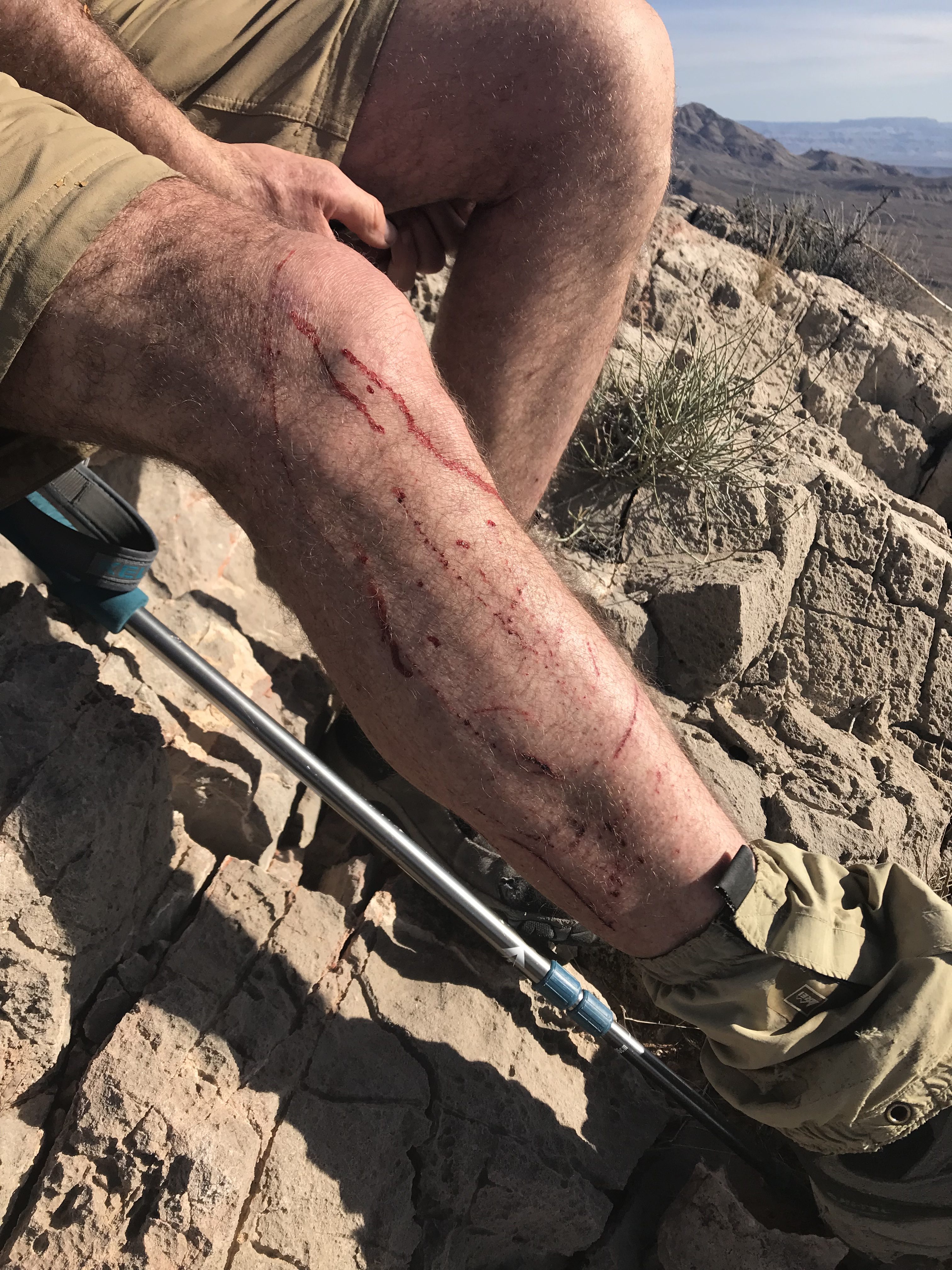
The next morning we were off to Billy Goat Peak which is close to the Nevada/Arizona border. We climbed the peak via its North Ridge which involved working our way around cholla, sandstone towers and granite towers. I managed to run into chollas twice. Pat was kind enough to pull them off me.
Billy Goat Peak as viewed from the north.
The sandstone towers on the North Ridge.
Enjoying a “freedom of the hills” moment on another summit.
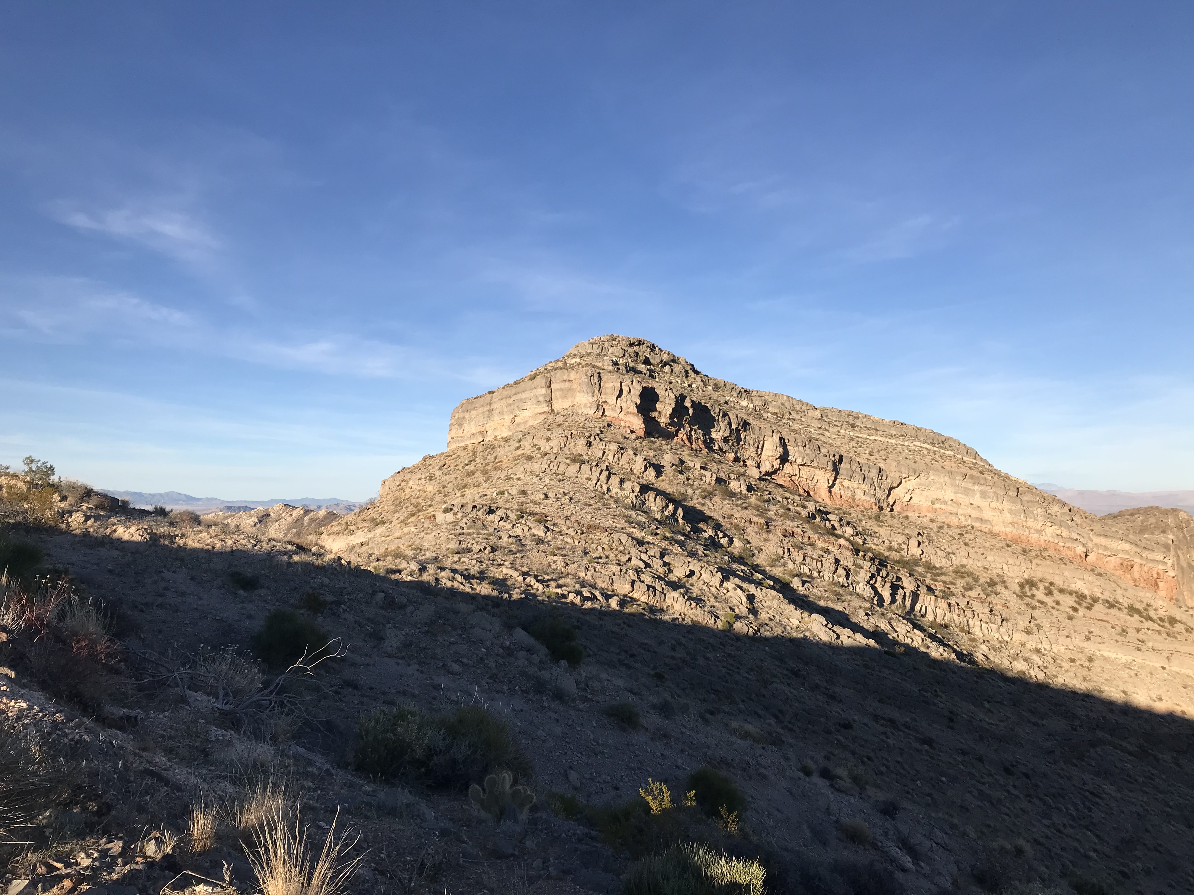
After Billy Goat Peak, we debated what to do. Driving down the road, we spotted Peak 4311. It is one charismatic mountain. We were smitten and had to climb it. We liked the looks of the East Ridge but, when we got closer, we found that a cliff band blocked the ridge. We hiked to the base of a gully that divides the main peak from its [lower] South Summit with the idea of hiking up the gully. Upon reaching the gully, we found that it was a 40-foot deep gash full of loose, rotten debris that neither of wanted to tackle. After scratching our heads and considering moving to another peak, we had an epiphany. Why not climb the ridge to the South Summit, cross to the saddle and then climb the peak’s South Face? This route proved straightforward and we soon reached the summit.
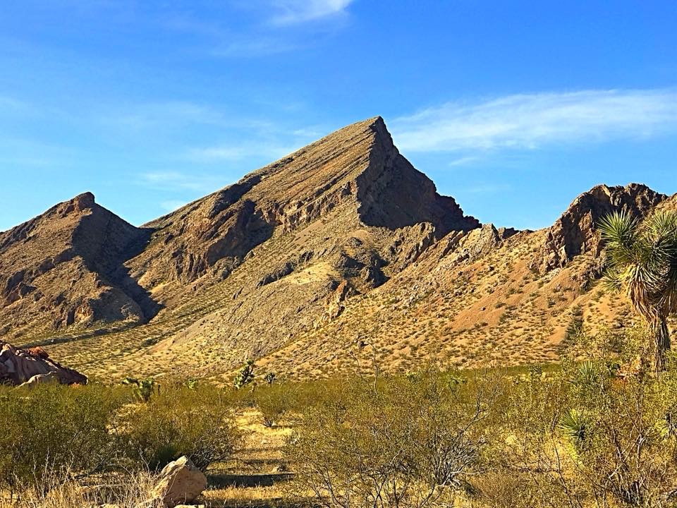
Peak 4311
Revenge of the barrel cactus.
Our route up Peak 4311.
We had one more day to climb. We had so many options available that we could not decide on a peak. Finally, my desire for a shower and Pat’s desire to catch part of the Super Bowl brought us to a decision. We headed for a motel on the southwest side of Las Vegas, ate at an Italian restaurant, got a room and chose Potosi Mountain as our goal for the next day.
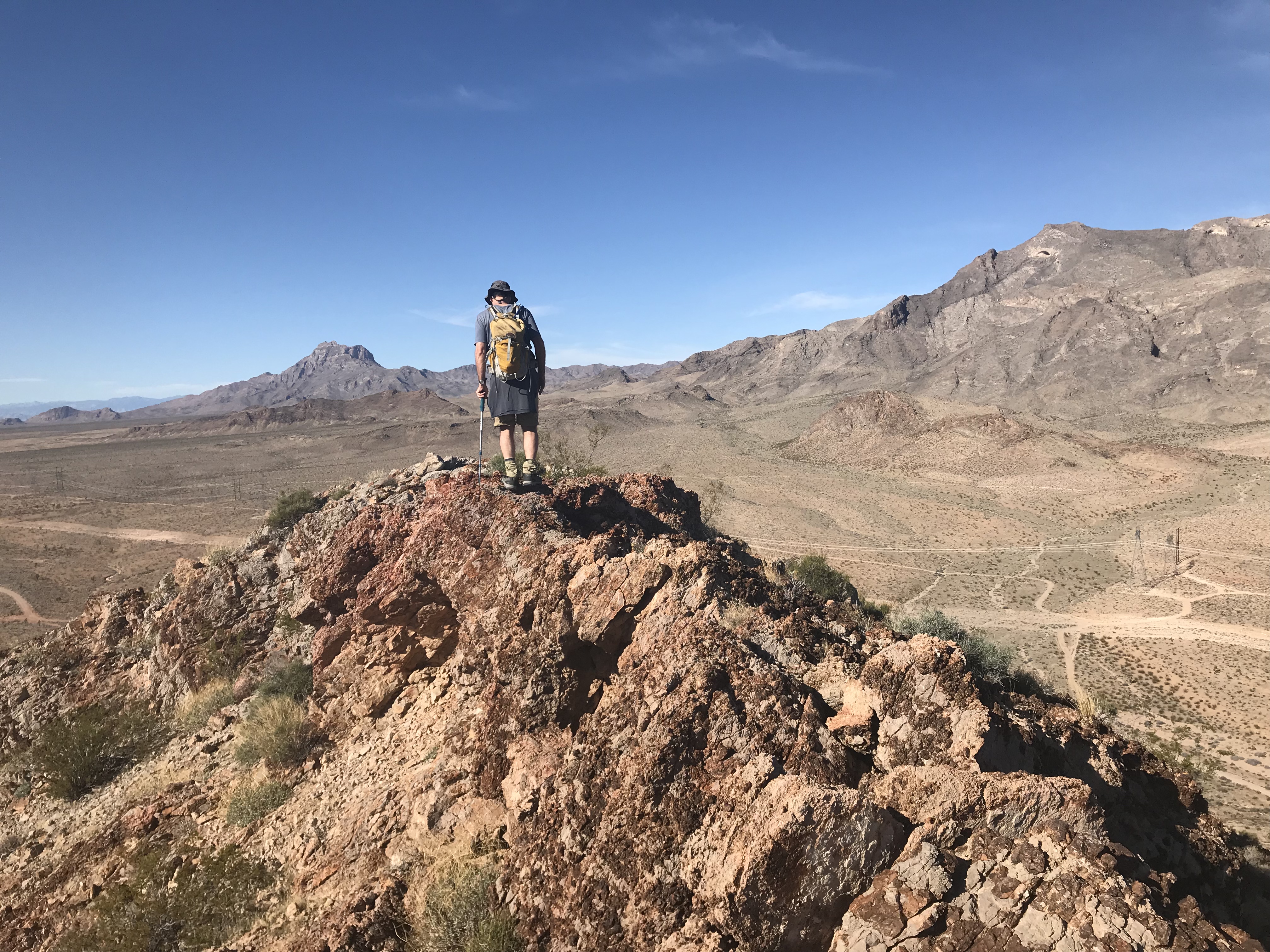
Potosi Mountain (8,514 feet) is located south of Las Vegas. It has 3,012 feet of prominence and a road to the top. According to the guidebooks, the road is gated, is 5 miles long and involves over 4,000 feet of elevation gain round trip when you also climb South Potosi Mountain. We reached the gate at 9:00AM and started up the steep road. After a mile and 1,000 feet of elevation gain, a pickup truck came up the road. The driver was working on a construction job near the summit. He offered us a ride. I accepted. Pat refused. Pat asked me, “Where is your honor?” I responded, “I’m a peakbagger, I have no honor.” I took the ride to just below the somewhat-disappointing summit.
The microwave equipment (surrounded by warning signs) that was spread out on the summit would fry your brain in no time. Although the view was massive, I touched the top and immediately headed down already feeling dizzy. About 30 minutes later, I met up with Pat who was literally storming toward the summit. I continued on to South Potosi and then headed back to the car. An hour later, Pat arrived. That man is fast in the mountains.
South Potosi Mountain
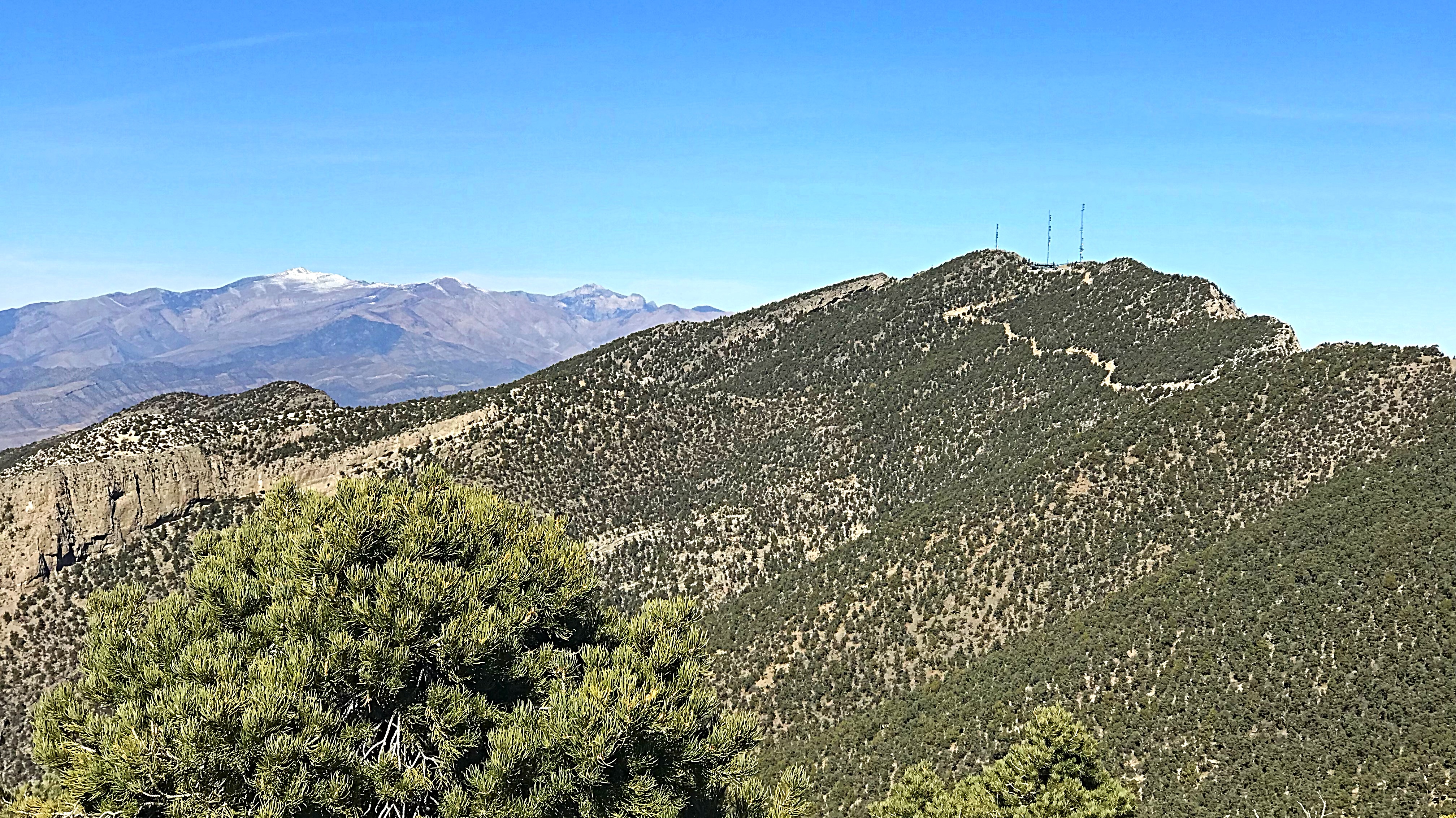
Potosi Mountain (right) and Mount Charleston (in the distance).
We loaded up and drove north to get through Las Vegas before rush hour. We spent our last night at Campsite #8 at the Pahranagat National Wildlife Refuge and drove home on Day 7.
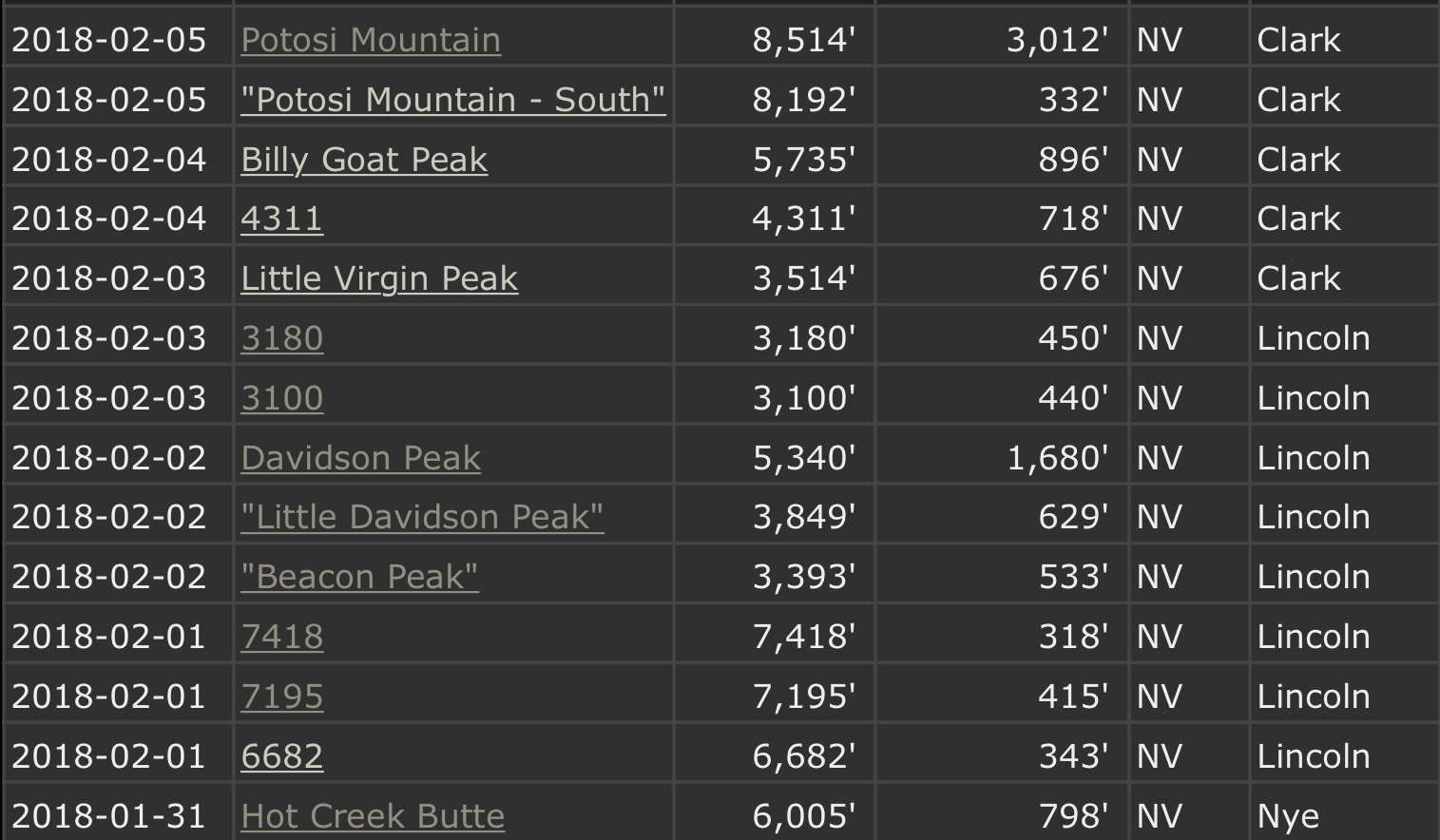
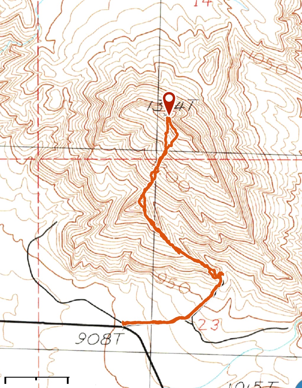
The peaks we climbed.
Next: Nevada Again: Another Box of Chocolate