Climbing in Nevada is like opening a never-ending box of assorted chocolates. You eat one and you want another and then another. You know you shouldn’t eat them all but you keep munching anyway. In my case, just knowing the box of assorted Nevada peaks is almost never ending is a challenge that is hard to resist.
This trip was my second 2018 Nevada excursion. See Nevada: A Very Early Spring Trip (2018). This trip started on March 18th. John Platt and I had struggled for 2 months to find dates that would work and be accompanied by good weather. Read John’s TRIP REPORT. If you have read my previous Nevada trip reports you will have some idea of the scope and diversity of the State’s mountains. Nevada is the 7th-largest State in area and it runs 492 miles south to north between latitudes 35° N and 42° N.
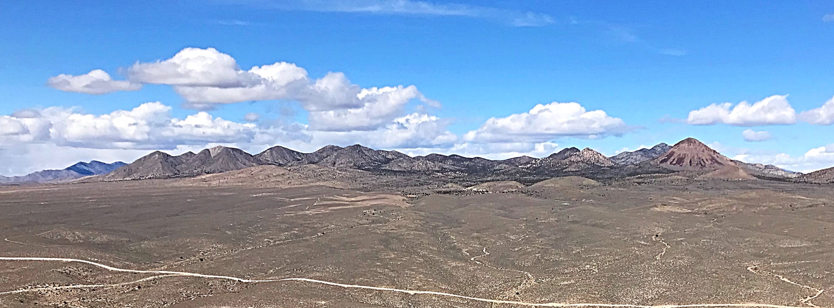
Southern Nevada seldom sees snow while Northern Nevada resembles Idaho’s Winter climate. As a result, peakbaggers can find snow-free peaks to climb in Nevada year-round. Climbing during March is best in the Southern third of the State. John and I had made 2 previous trips to the area around Beatty, Nevada including explorations of Death Valley. In 2017, we climbed along an arching path from Lund, Nevada to Tonopah, Nevada. This year we decided to focus on the East End of our 2017 trip and concentrate on peaks between Lund and Alamo, Nevada. This area is at the North Edge of the Mohave Desert.
[Click on photos to enlarge.]
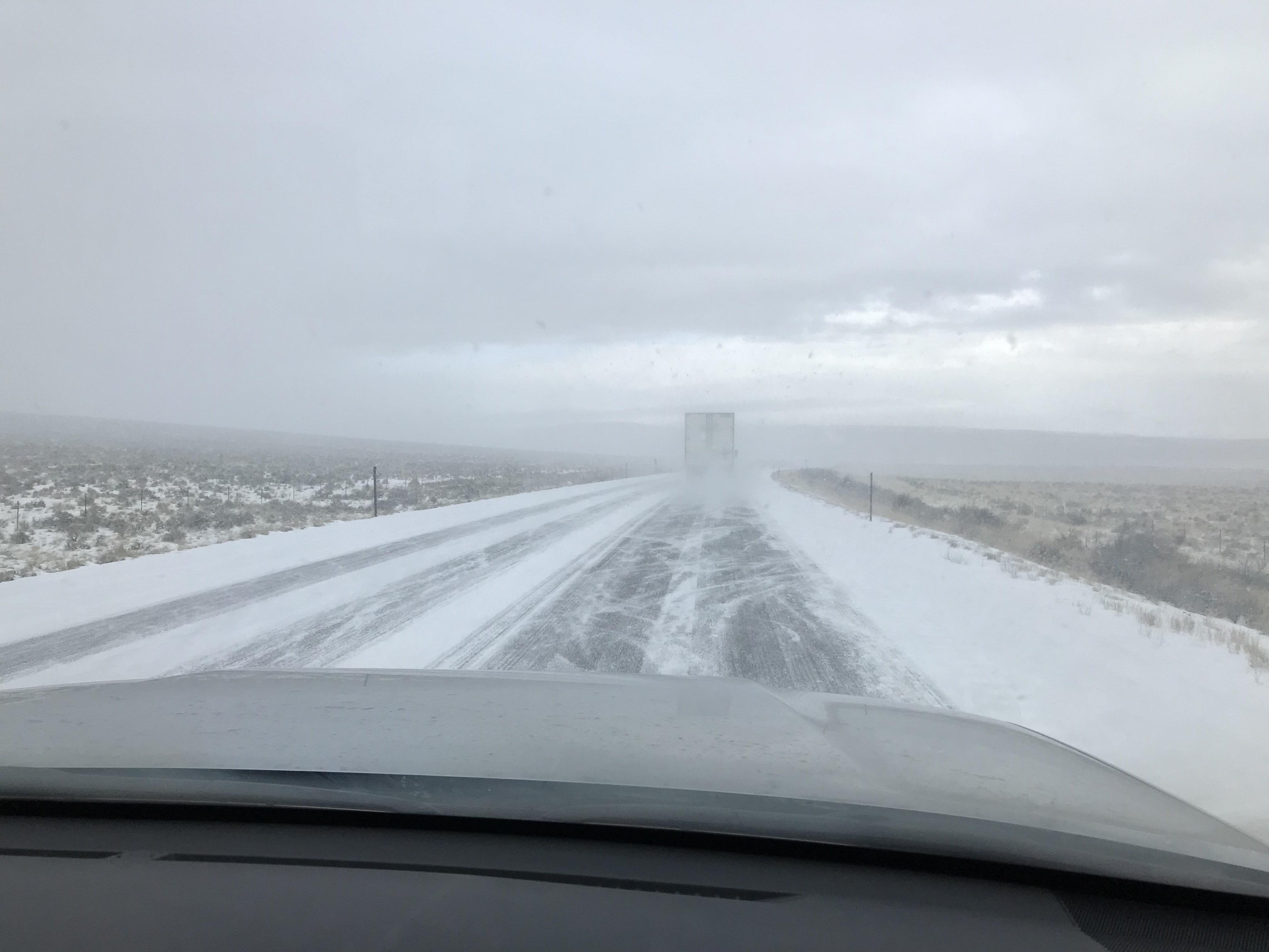
As we drove south, Winter was engaged in a new offensive. It was snowing hard on the Idaho/Nevada border.
Unfinished Business Finished
During our 2017 trip, we we climbed 10 peaks surrounding [prominent] Burnt Peak. One peak on that agenda escaped us when a Spring weather system dropped a thunderstorm on us. So after an 8-hour drive, we stopped and picked up that summit before moving on to our first camp.
The first peak we climbed was Peak 5893. In 2017, we parked at its base but a thunderstorm unexpectedly swept over us and we abandoned the climb.
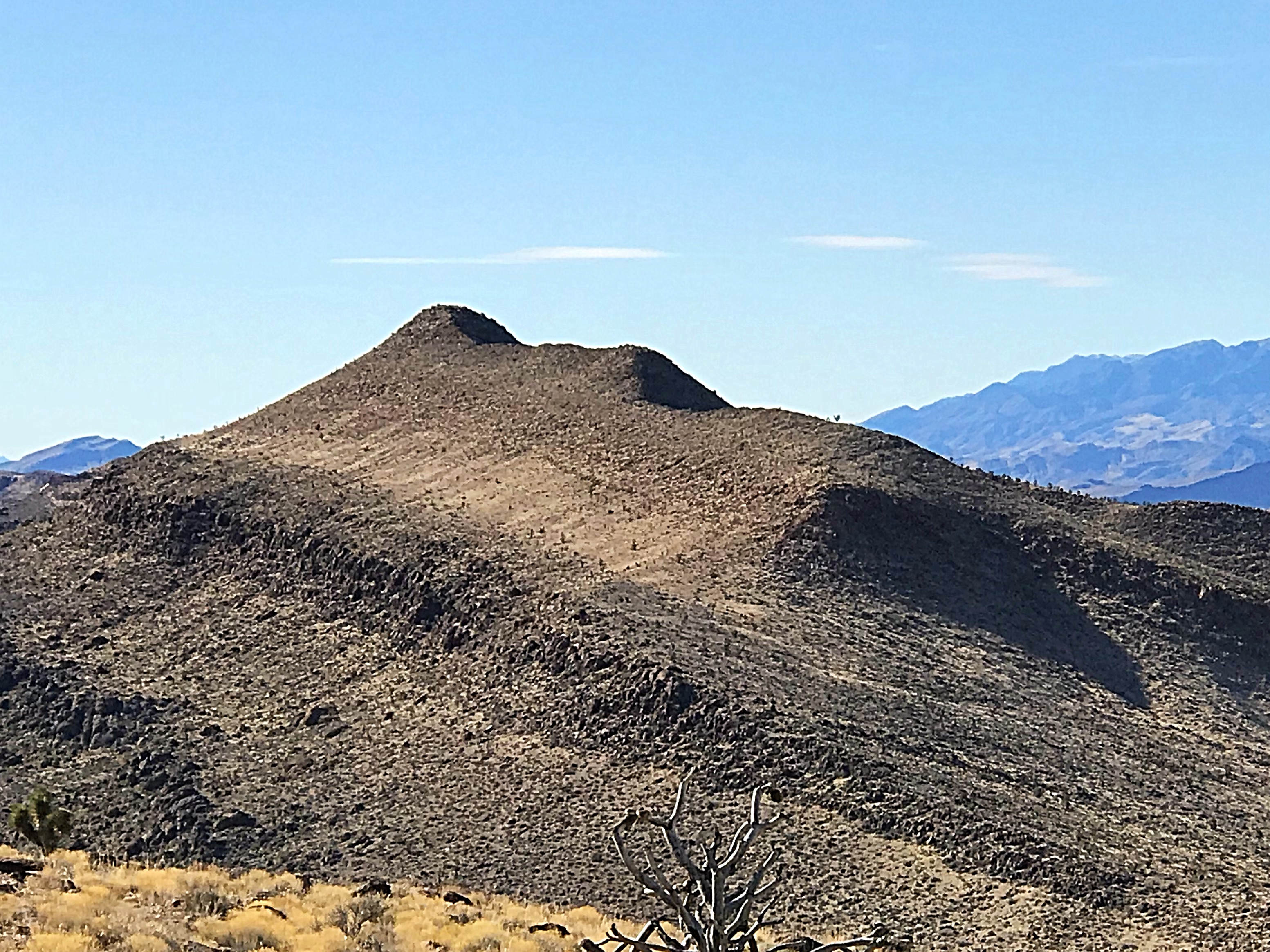
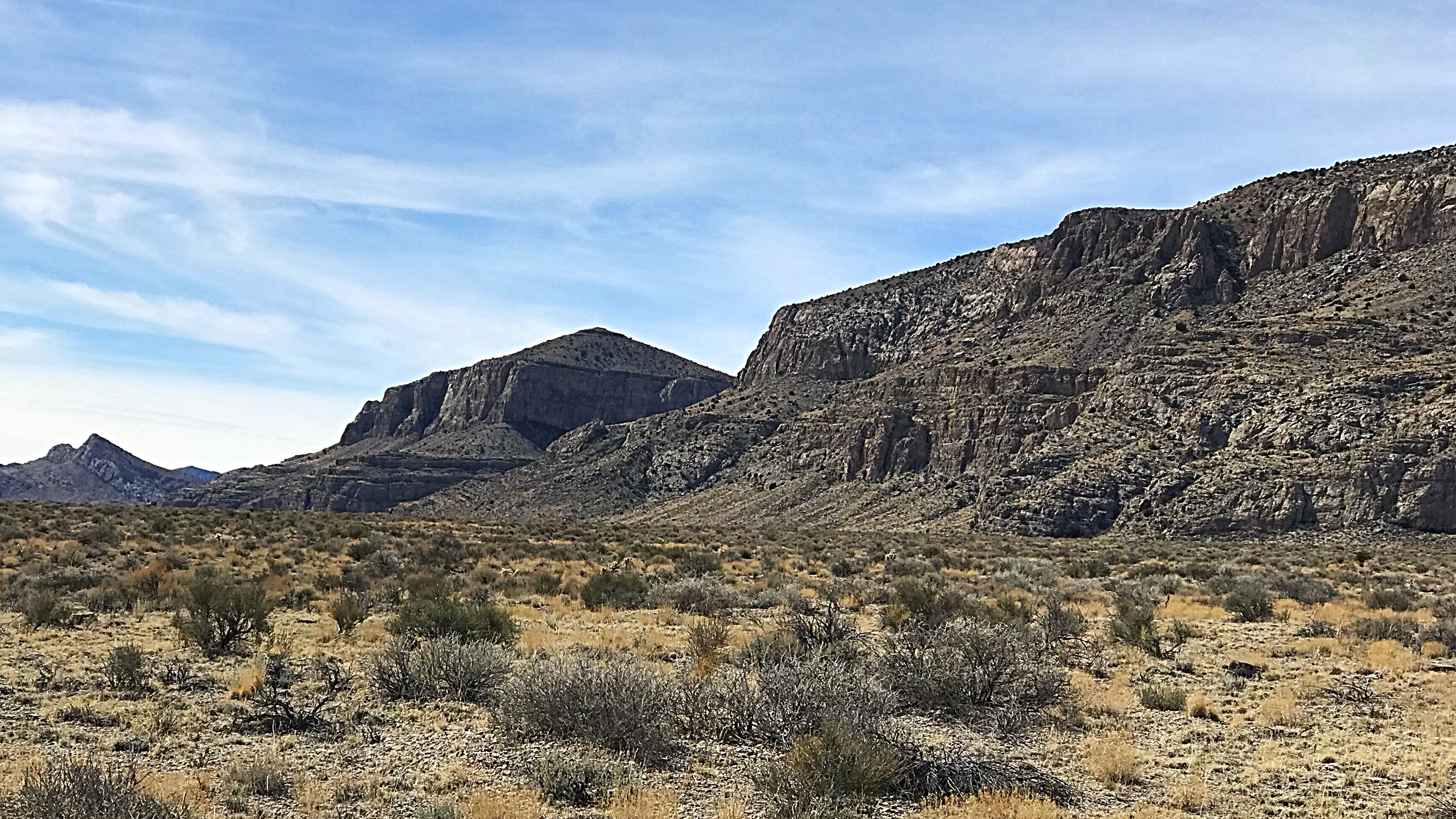
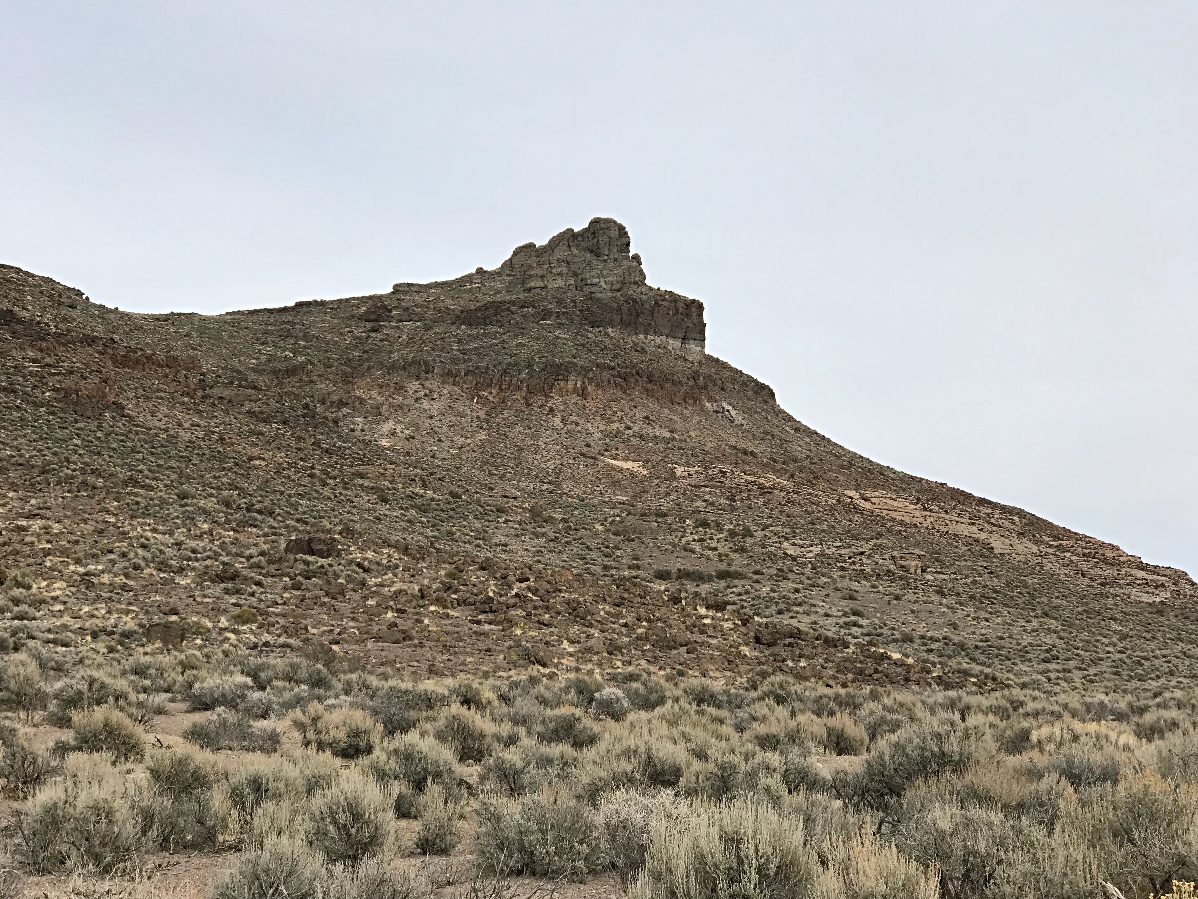
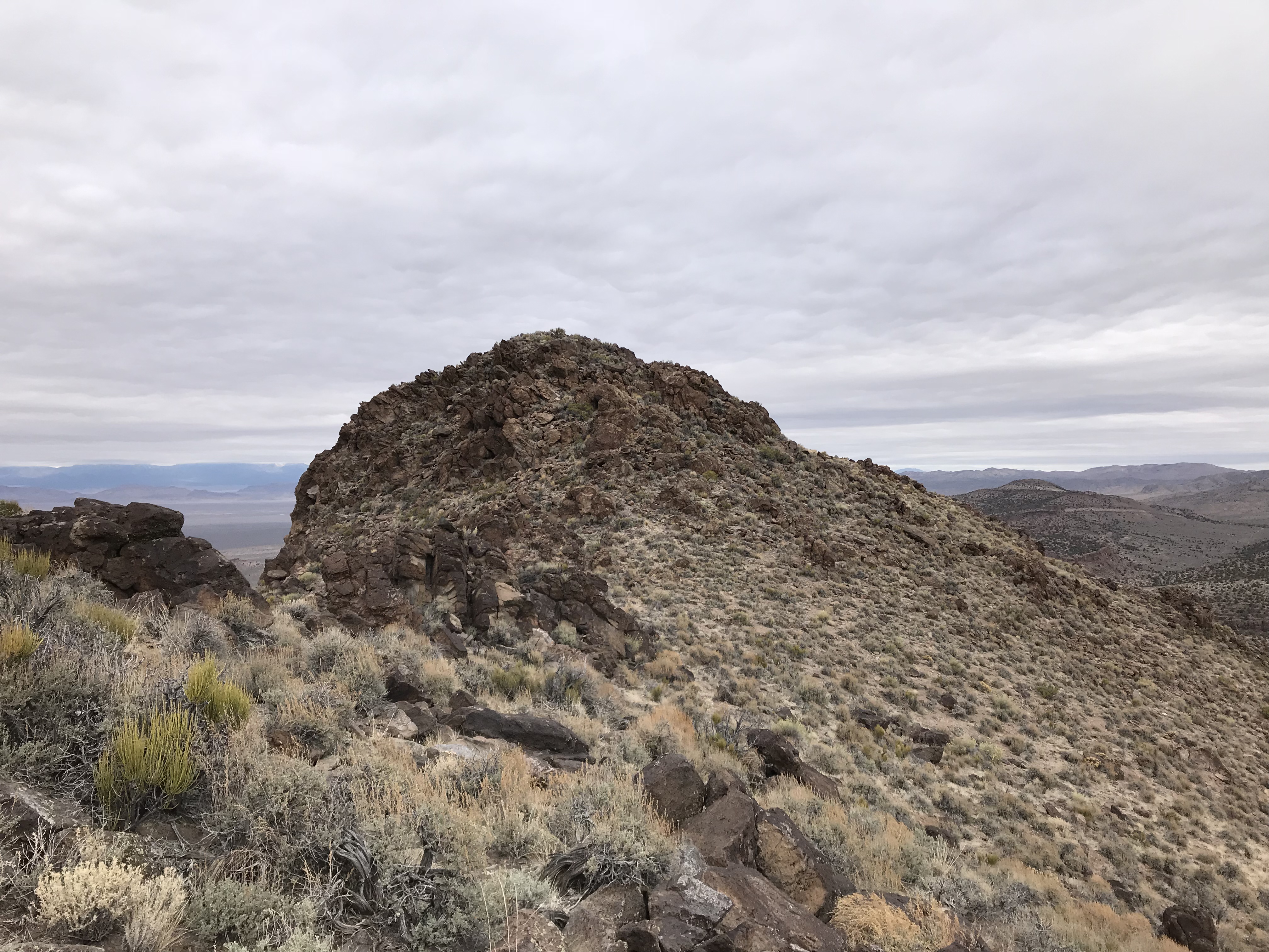
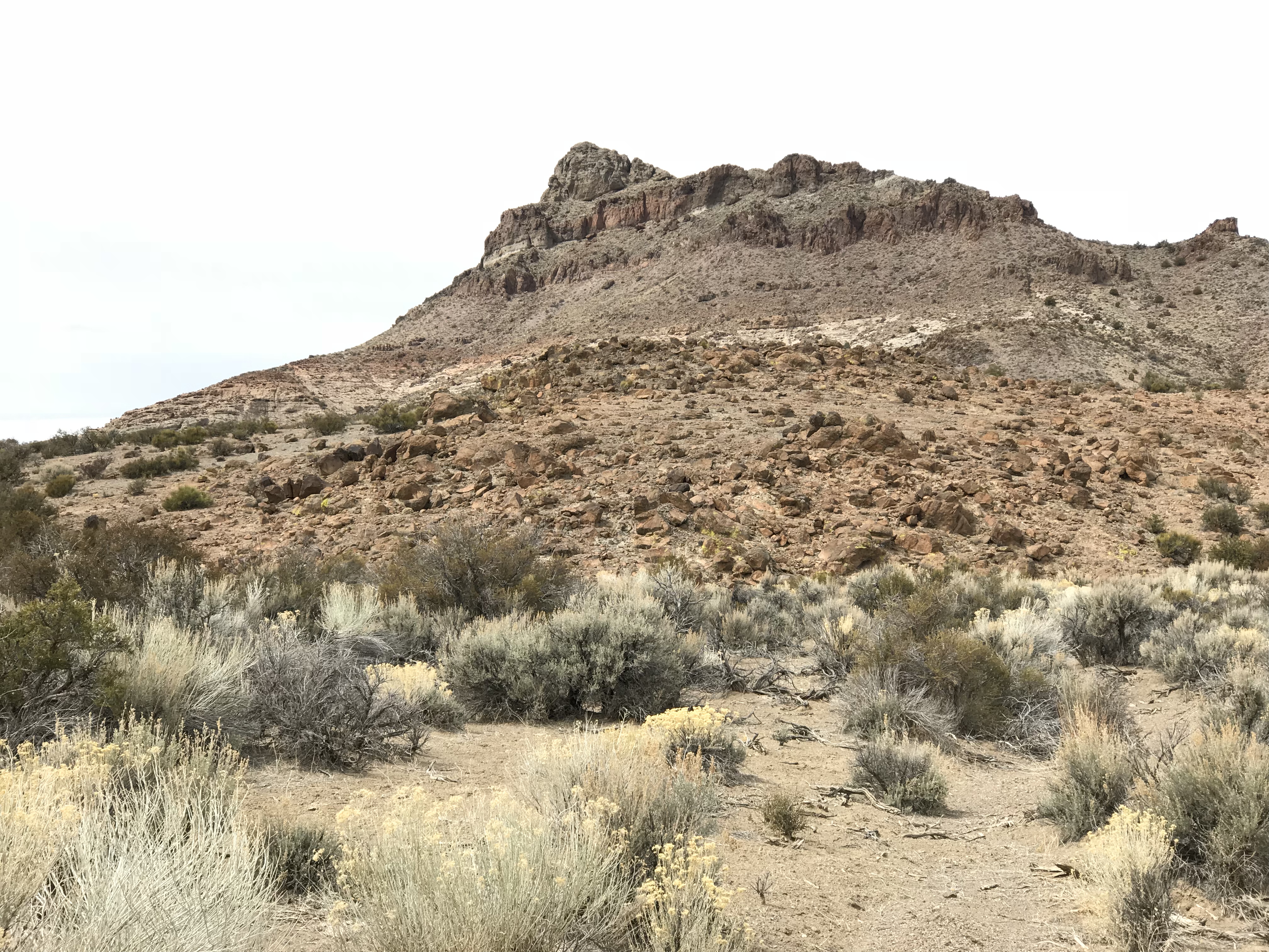
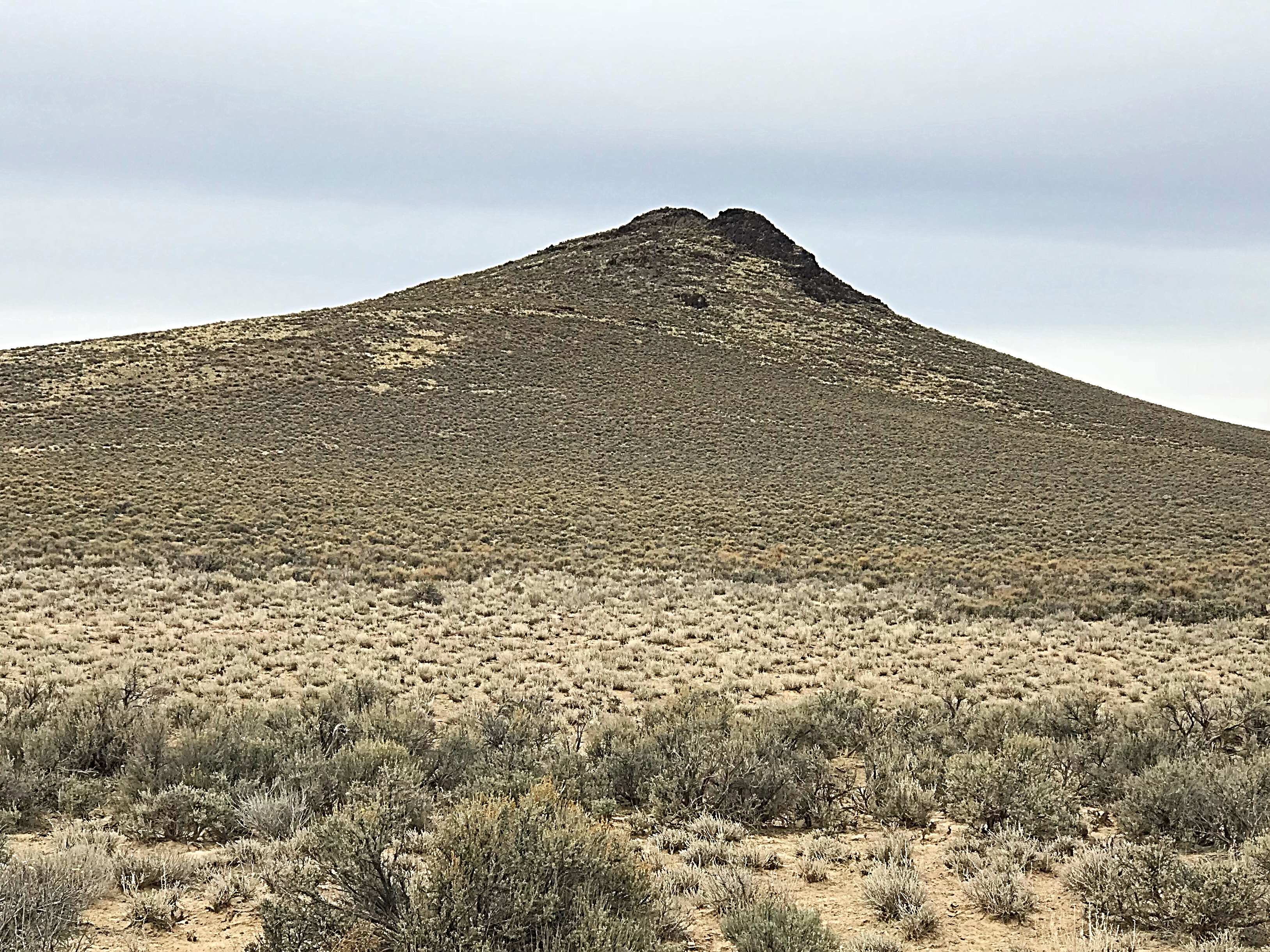
I was first attracted to the mountains between Lund and Hiko, Nevada when I spotted Burnt Peak. It is the cone-shaped summit on the right-hand side of this ridge.
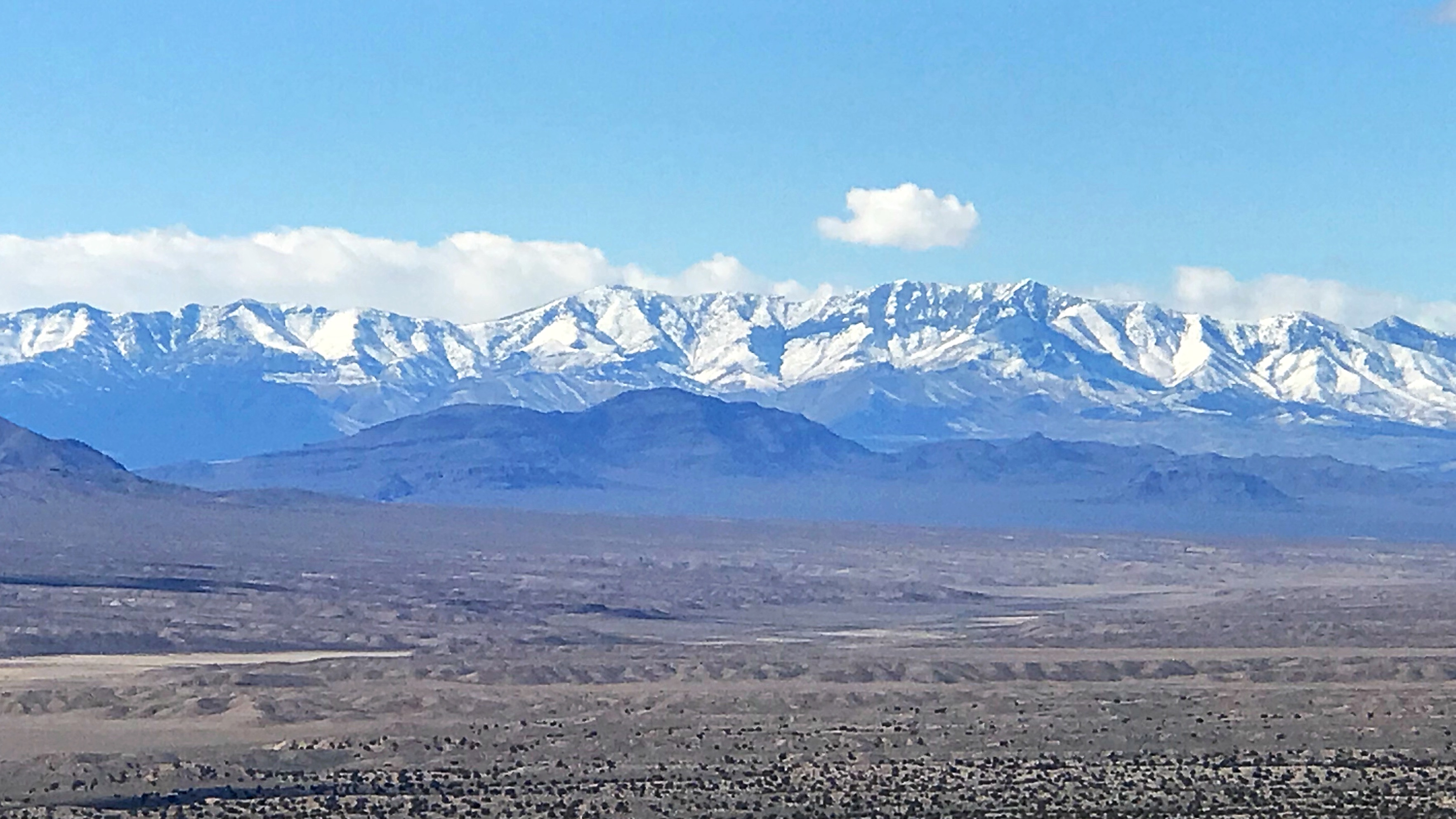
The higher South Central Nevada mountains are still snowbound in mid-March.
Not “the” Alamo
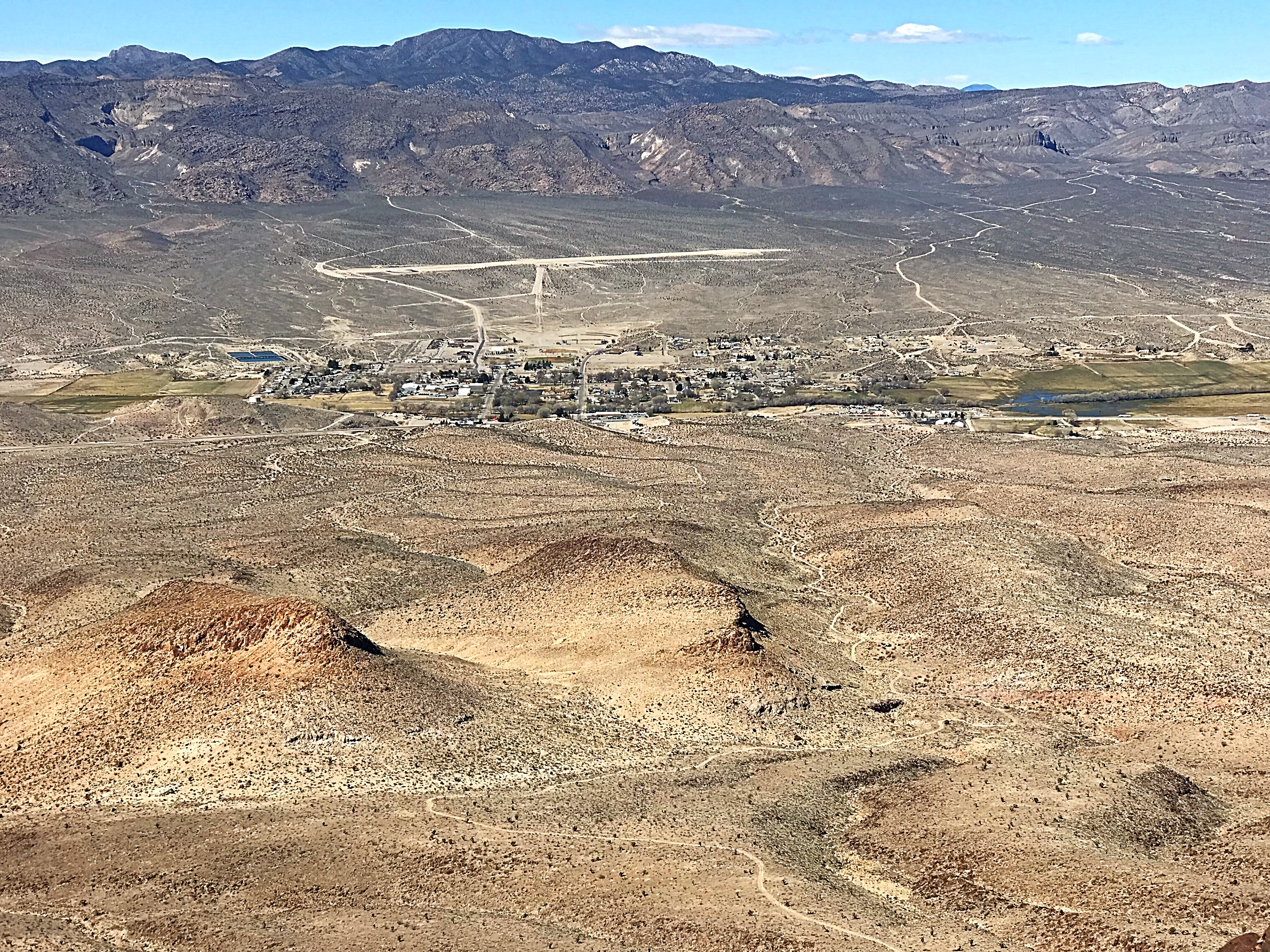
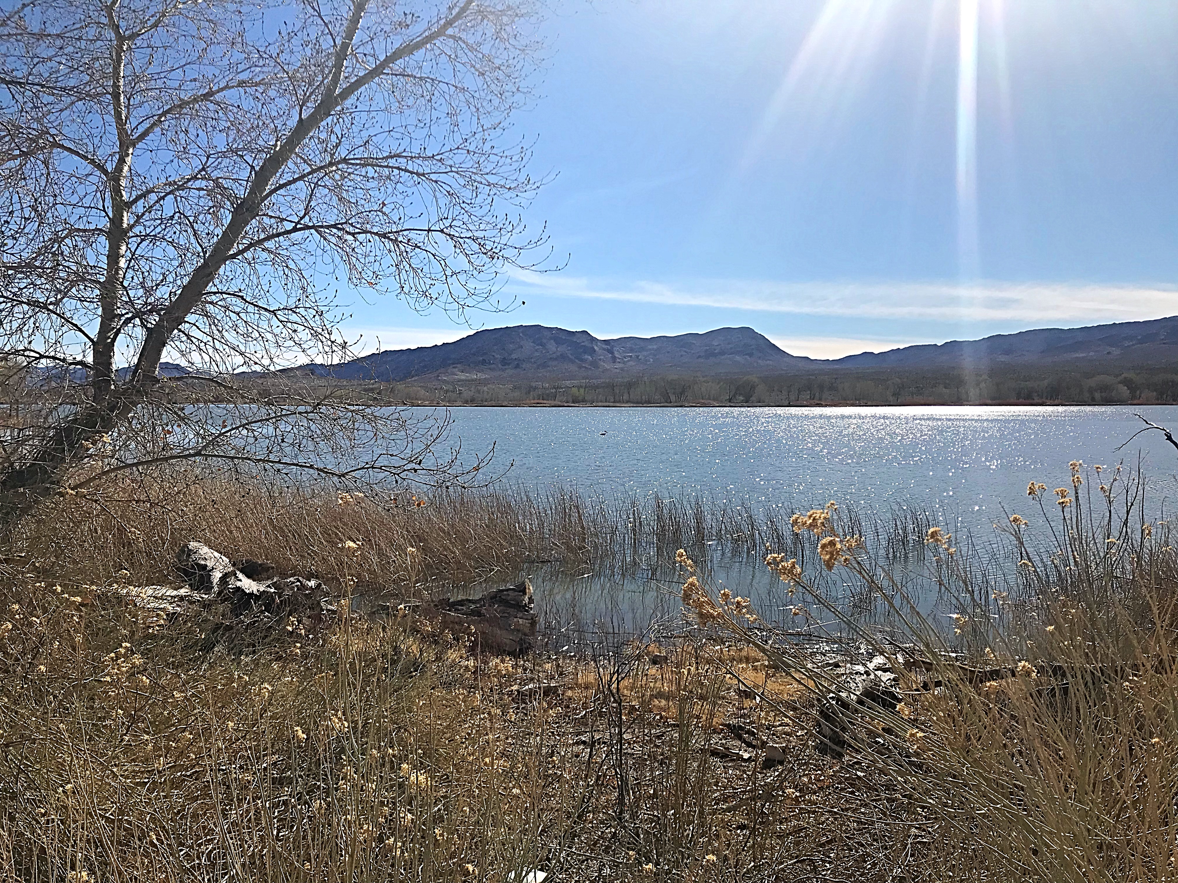
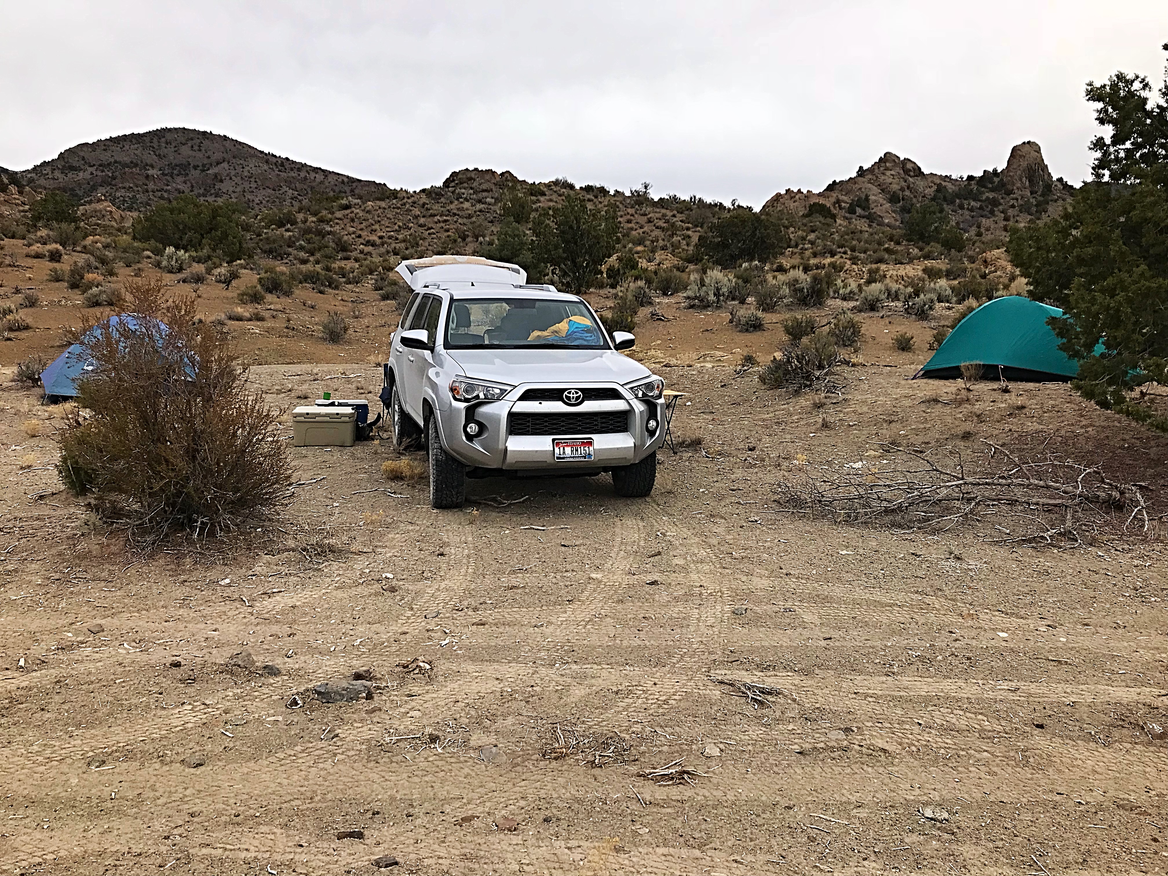
I have driven through Alamo, Nevada many times and marveled at the impressive peak that stands just east of town. However, each of those drive-bys was during the hot months which made climbing the peak unattractive. So the peak remained unvisited. Now it was the #1 objective on my list for this trip. The Pahranagat National Wildlife Refuge is located along NV-318 just south of Alamo. The refuge has a small campground on the highest of its 3 lakes. There are several nice spots for tent campers located near the lake.
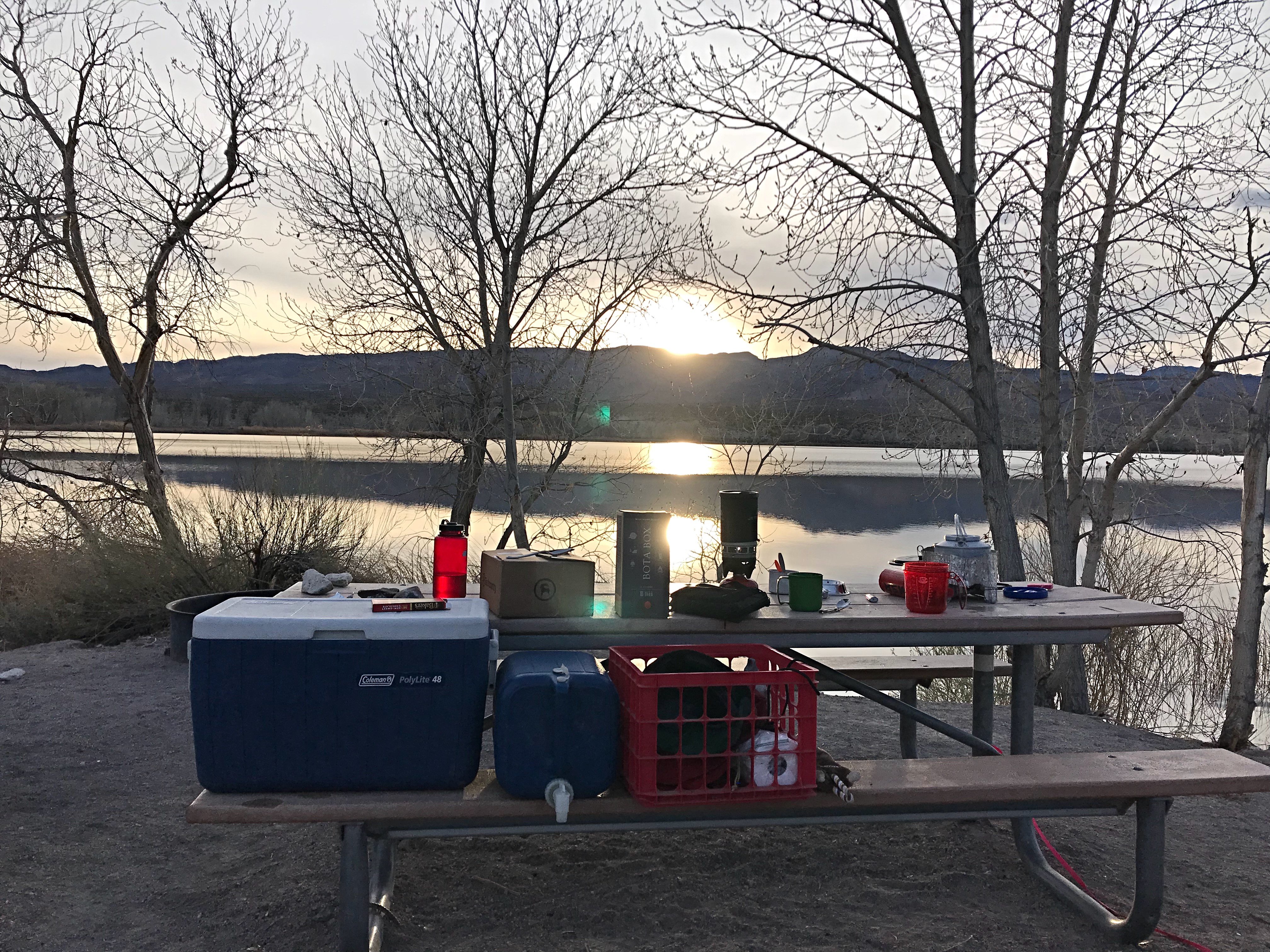
Pahranagat National Wildlife Refuge has a nice campground, albeit a bit too close to NV-318. It served as our base camp for 2 nights.
Our first morning was clear and cold; perfect climbing weather.
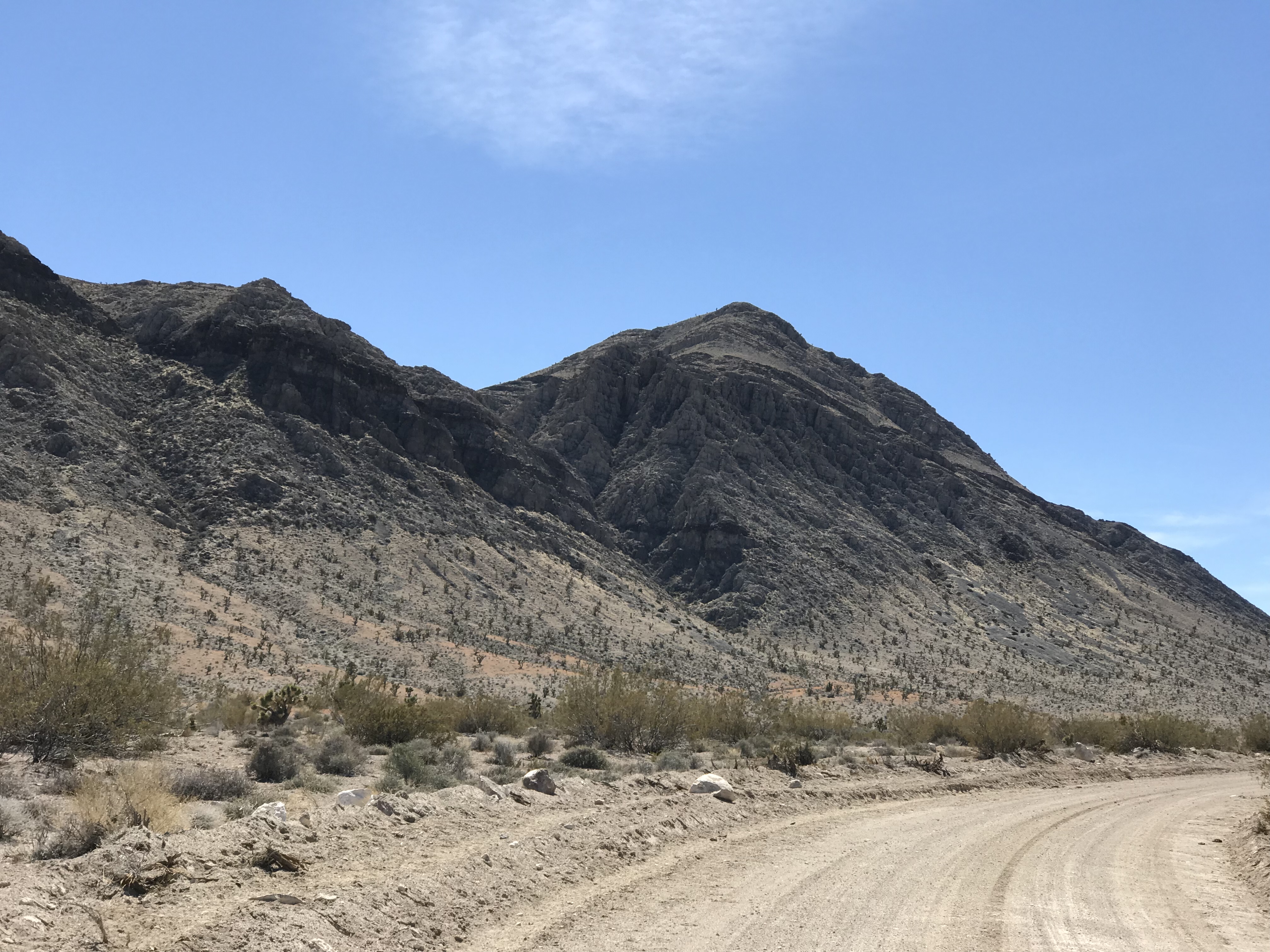
On Monday, we decided to explore the peaks on the East Side of Alamo mostly because the peak identified as Alamo Benchmark is enticing as it towers over town. With John navigating and only one false start, we quickly found our access road which turned out to be a well-graded road. The Nevada BLM appears to take road maintenance seriously.
Starting up Peak 4885.
Peak 4885 as viewed from the south. We climbed up the right-hand side and descended the left side.
Peak 4885 was a perfect way to wake up. After a half-mile hike with 600 feet of elevation gain, we were warmed up and ready to bag more peaks. We moved on to our next goal which was Alamo Benchmark. From the top of our 1st summit, we decided that the most efficient approach required us to first climb Peak 5020. We followed the road to a pass on this peak’s East Side where we discovered a short cliff band blocking our way.
The cliff band at the bottom of the East Face of Peak 5020.
Next up was Peak 5020. We climbed up its East Face.
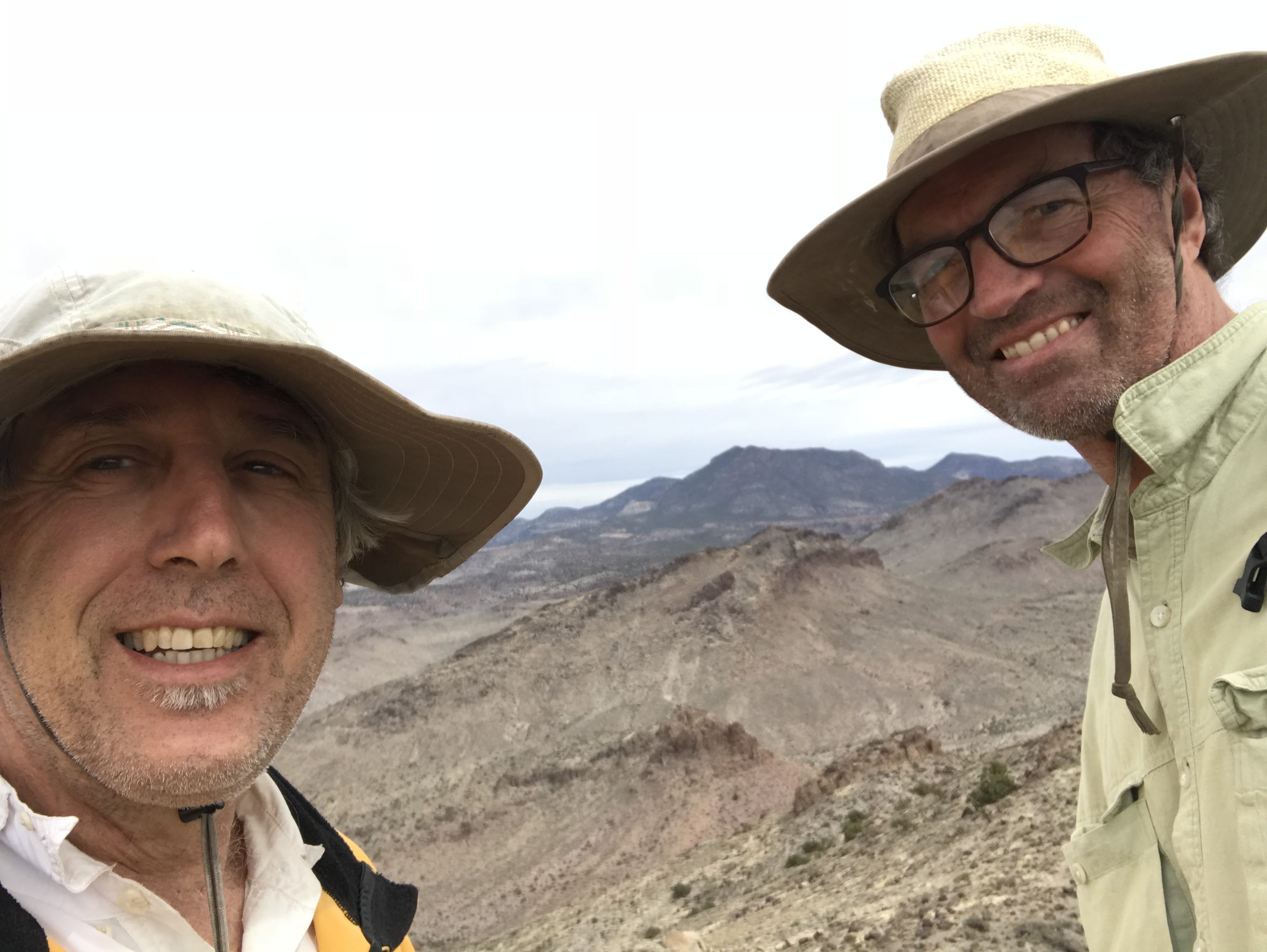
We found a way through the cliffs and quickly reached the summit. From the high point, we traversed the summit ridge south and then descended toward the valley separating us from Alamo Benchmark. We reached the summit quickly. It provided an excellent perch from which to survey the surrounding country.
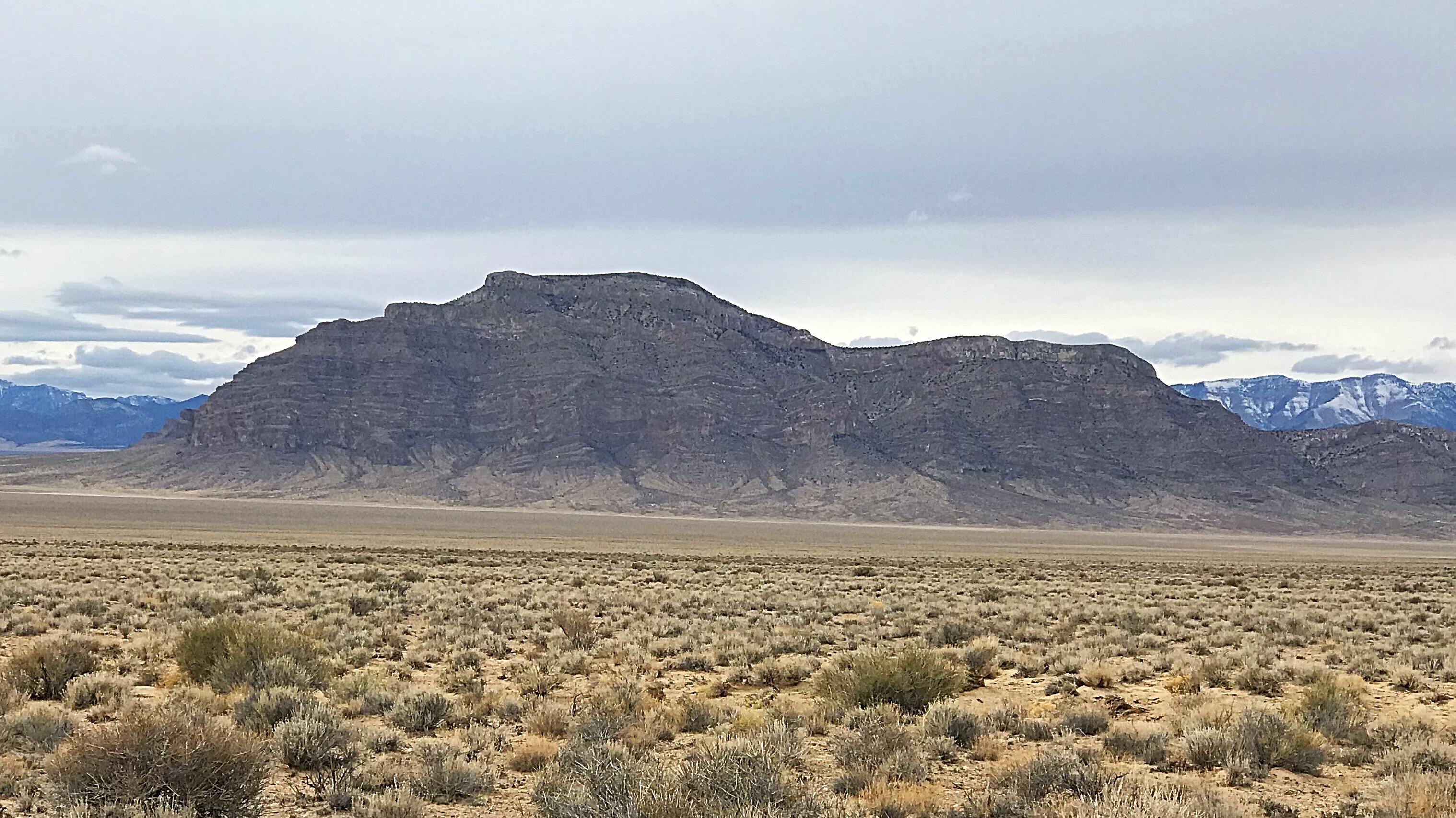
Alamo Benchmark as viewed from the northwest. The peak towers over Alamo, Nevada.
The town of Alamo as viewed from Alamo Benchmark.
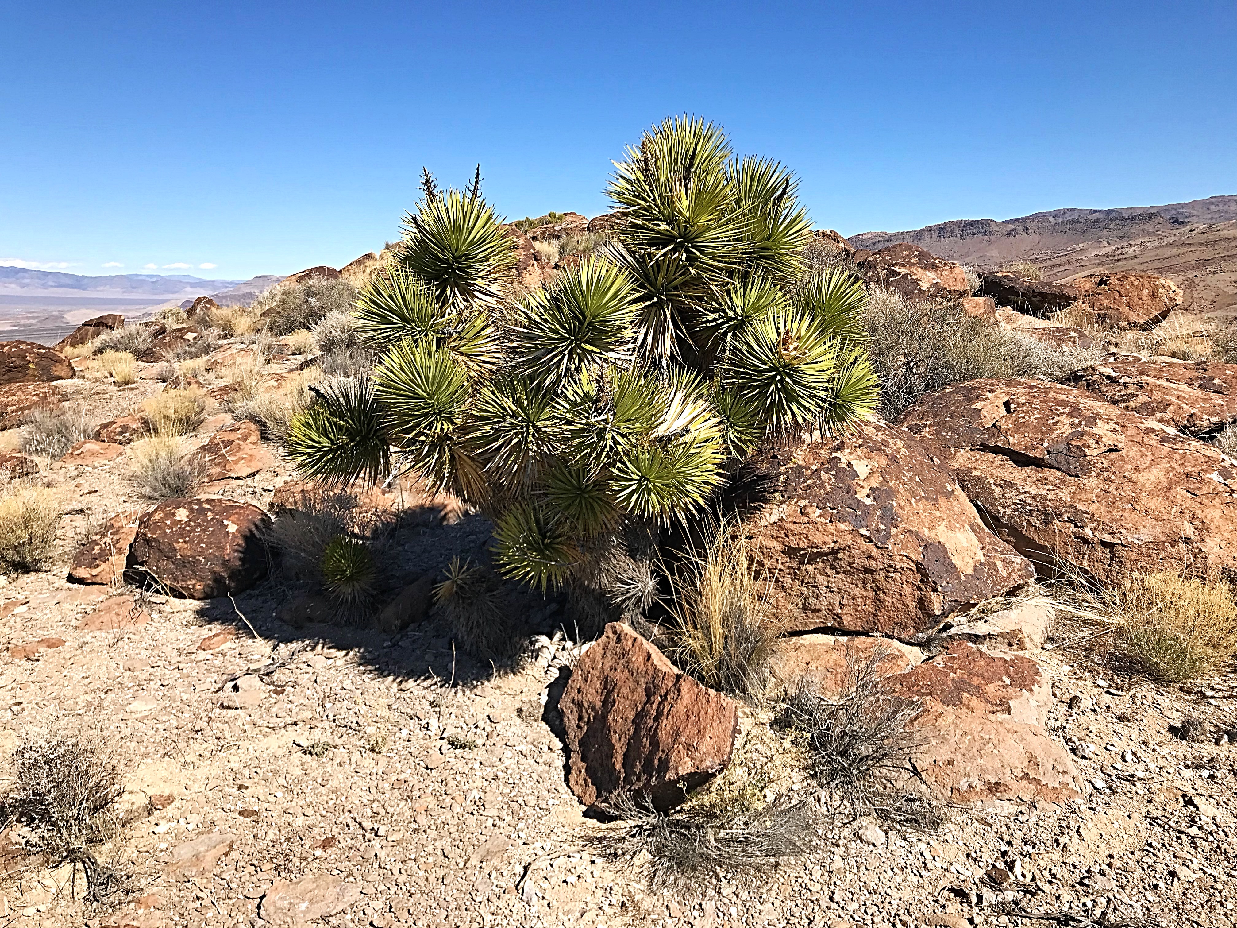
The Alamo area is the land of Joshua trees. They thrive in this dry environment.
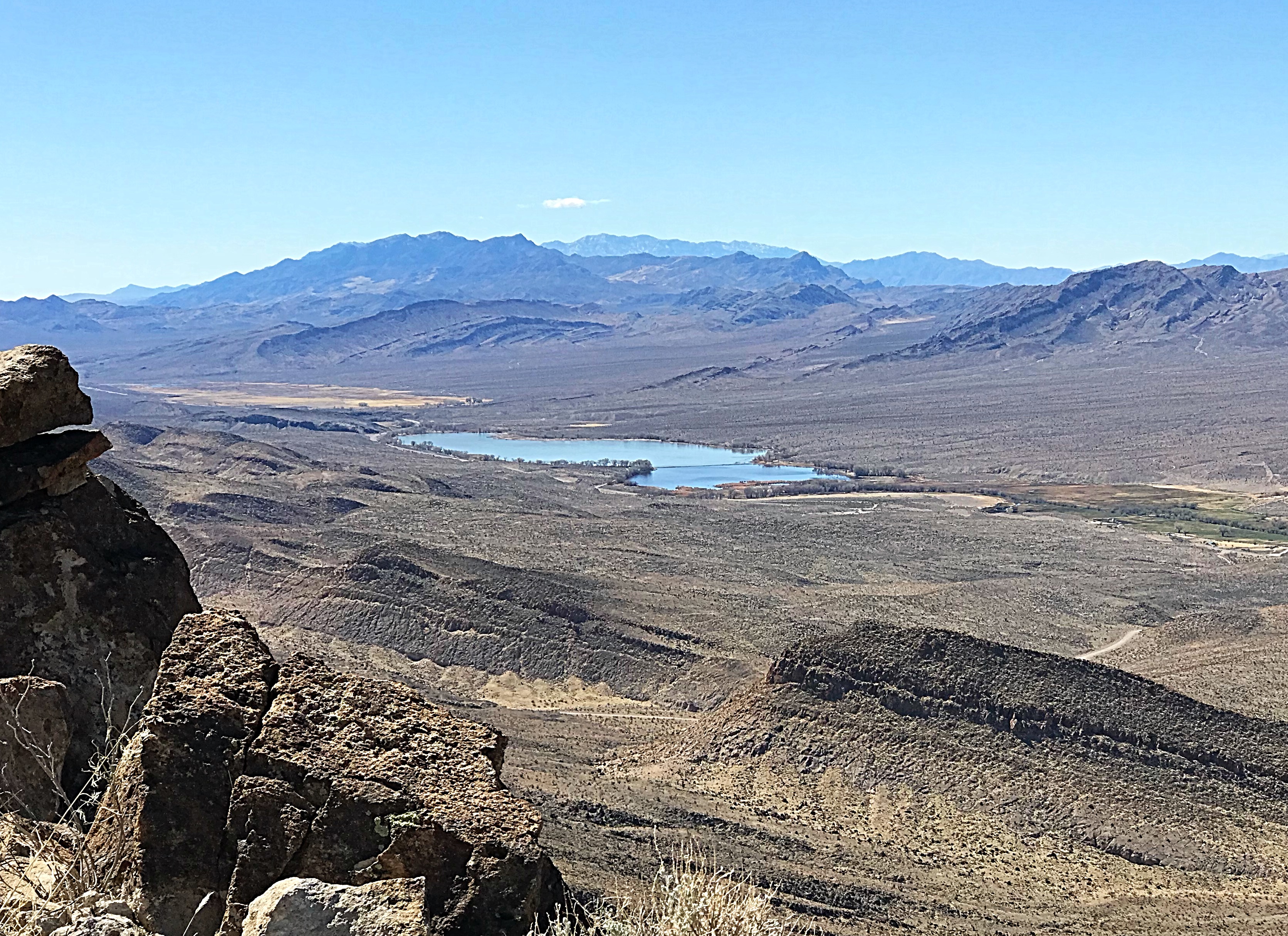
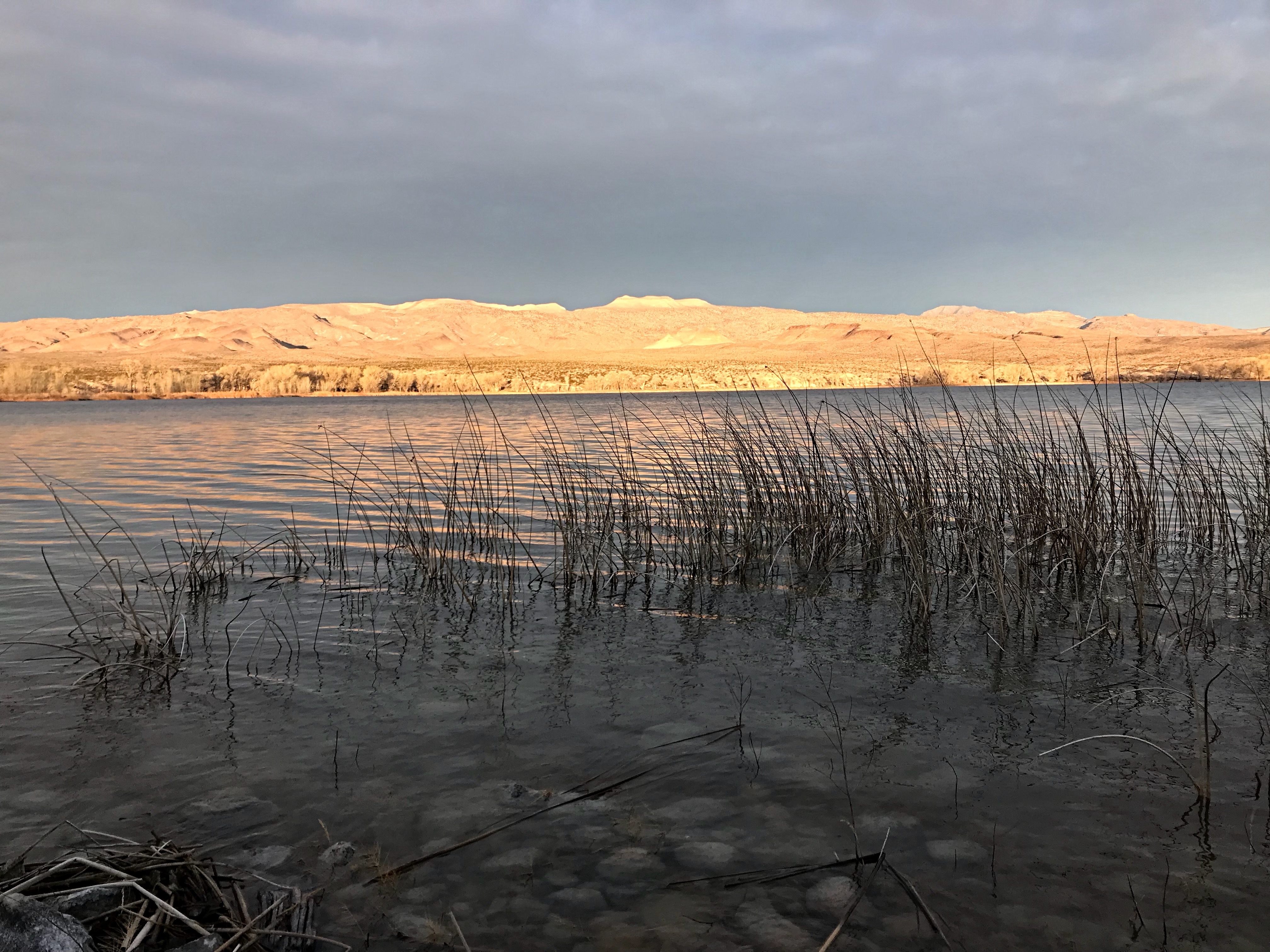
The highest lake at the Pahrangat National Wildlife Refuge as viewed from Alamo Benchmark.
Back at the pass, we enjoyed sunny 60-degree weather and lunch while we planned our afternoon. We decided to head to the West Side of the Pahranagat Valley just to see what we could find. We found the West Side Road was even better than the East Side Road. Just to be clear, although these roads are well graded and routinely maintained, they could be seriously degraded by a big thunderstorm. The evidence of previous flash floods was evident.
As we drove up the road, Peak 5218 caught our eye. Its North Face was a complicated conglomeration of broken cliffs and steep gullies. We drove around to the West Slopes and John picked out a feasible route. We parked, put on our packs and enthusiastically started for the summit. NOT SO FAST!
The North Face of Peak 5218.
Its a Dog’s Life
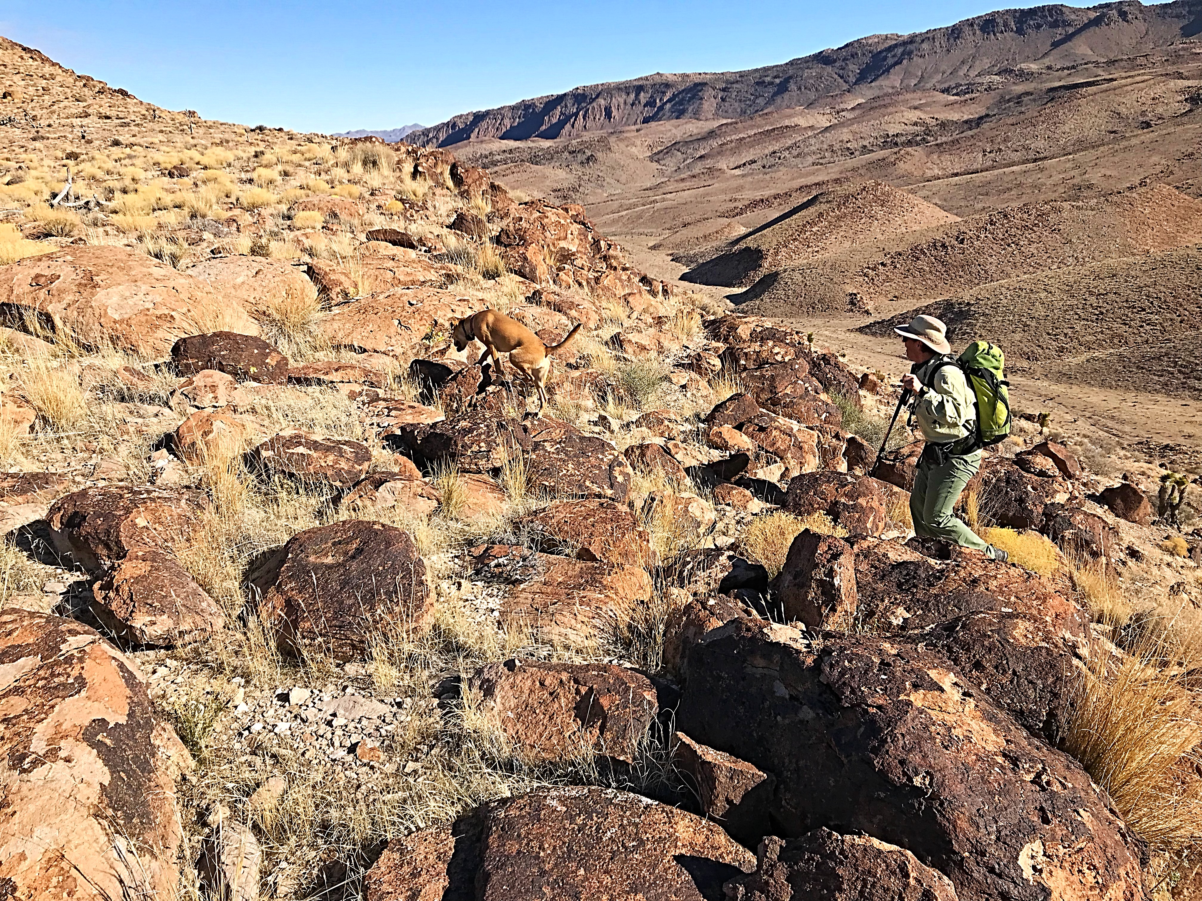
I failed to mention our new climbing companion. I guess now is an appropriate time to introduce Ruby, John’s newest dependent. Ruby is a dog (don’t tell John) of mixed heritage who likes to cover 2 miles for each mile a human covers. Our first 3 peaks had crossed a lot of prickly limestone and Ruby’s feet were a bit sore. So as we started toward the peak, she staged a sit-down strike. John quickly installed her back in the truck and we were once again heading toward the peak. If you are thinking of taking a dog, consider using doggie booties and know that most of the year it will be too hot to leave a dog in your vehicle.
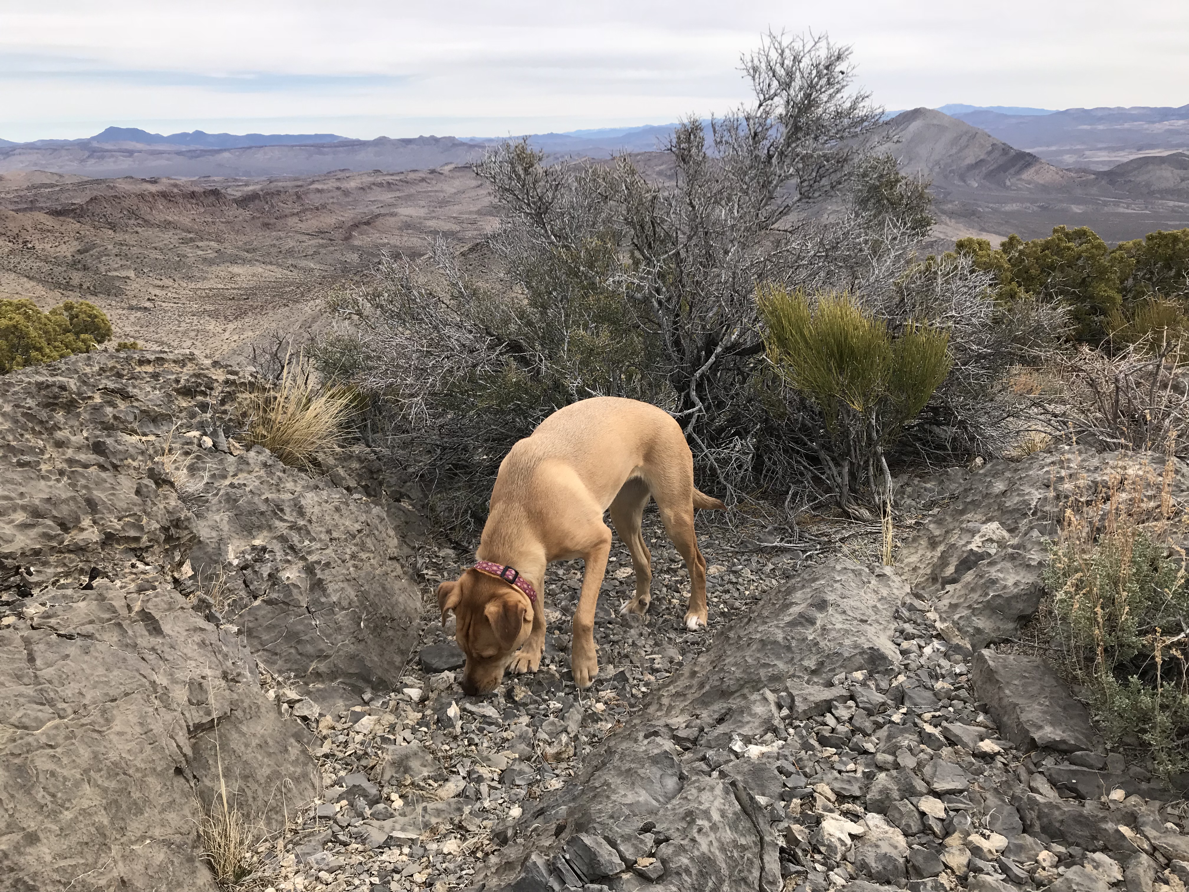
Ruby
A Rugged But Inviting Environment
Hiking in southern desert terrain usually involves crossing open terrain interspersed with sharp objects like cactus, yucca and broken rock. Small lizards are often present but I have yet to run into a rattlesnake in Southern Nevada. I am sure that it will happen at some point but you are more likely to stab yourself on a cactus. Still there are plenty of hazards to keep in mind. Much of the year, the temperature will be extremely hot. There is no water except when the Summer monsoon hits. The monsoon season can wash out roads in a matter of moments.
Nevada’s peaks are desert peaks. Remember above all else that Nevada is wild, remote desert country. Be prepared for difficult and sometimes treacherous travel conditions including bad and/or impassable roads, heat, rattlesnakes and every other conceivable hazard found in desert terrain.Take a 4WD vehicle with good all-terrain tires (6 or more ply sidewalls). Don’t depend on cell phone coverage. Buy BLM Surface Management maps to supplement topographic maps and a good GPS. John uses a Garmin and I use Giai on my iPhone.
Keep the gas tank full. Fill up at every opportunity. Take extra fuel. It is amazing how few gas stations are available. Expect to find gas only in towns but don’t expect every town to have a gas station. I have driven into Ely (NV) on fumes in the past and it was not a pleasant experience. Don’t expect anyone to find you if you get stuck or your battery goes dead. We took an emergency car battery as a backup. A shovel is a necessity and chains are essential in wet weather.
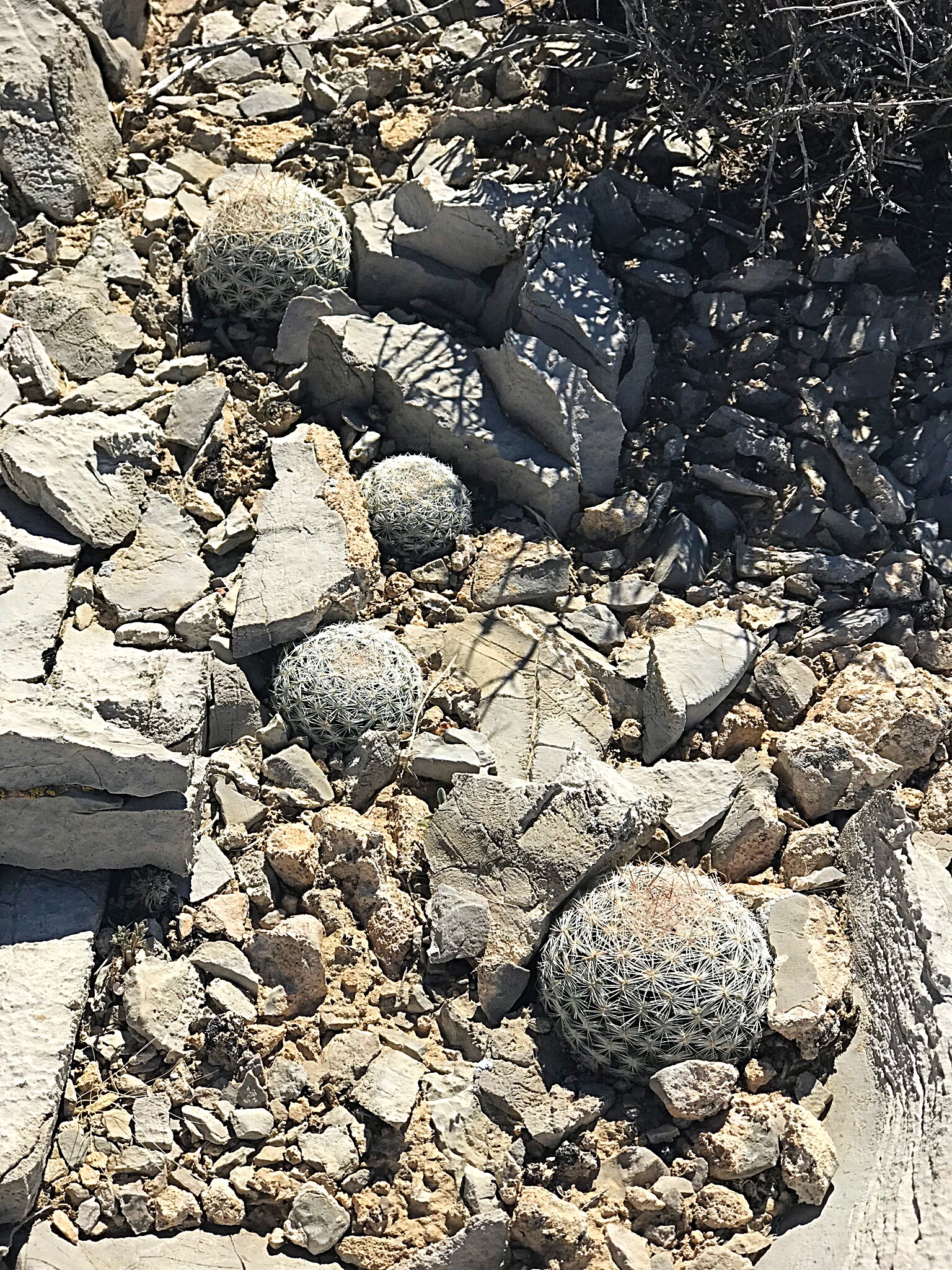
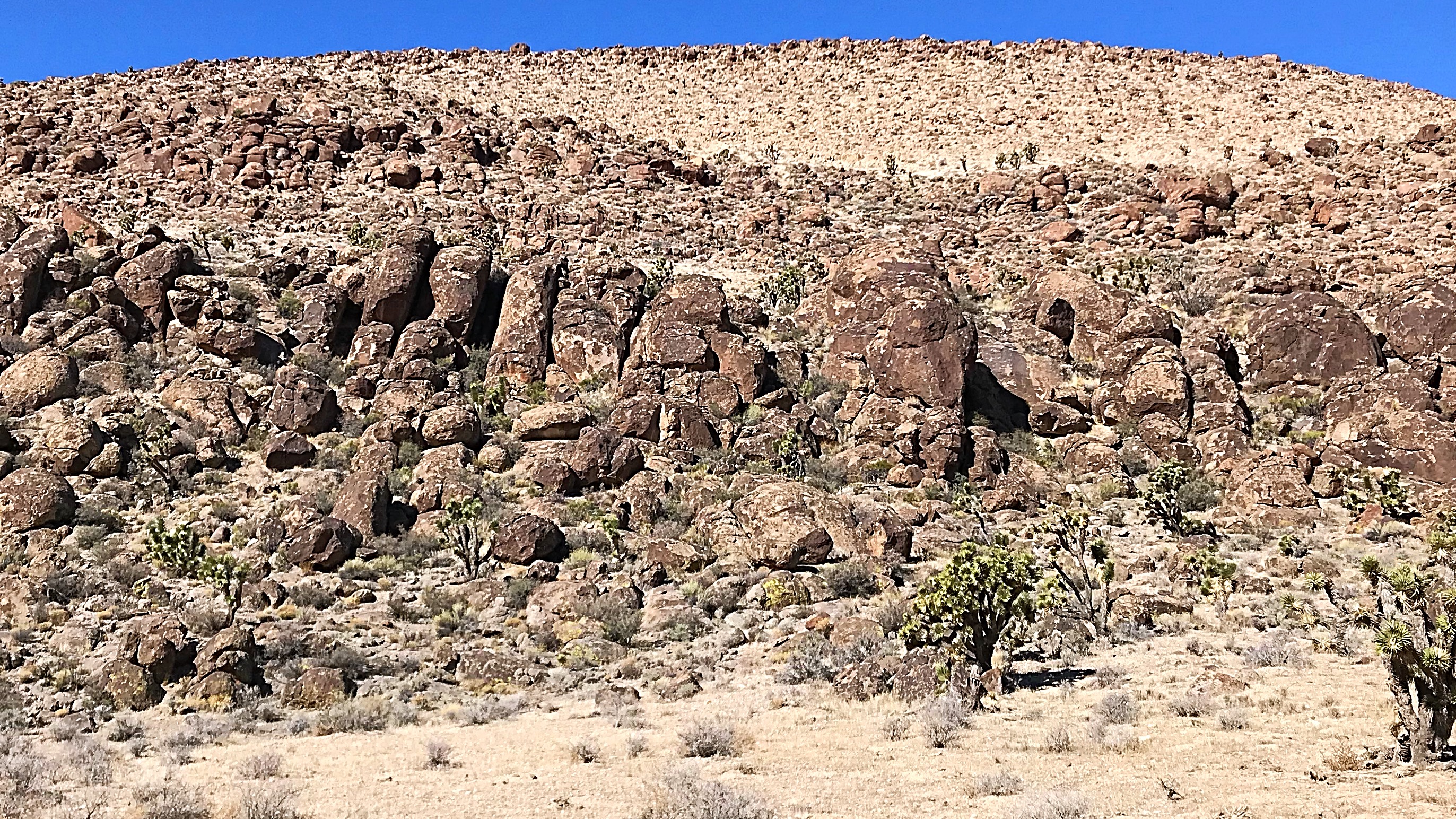
Cactus near the summit of Peak 5218.
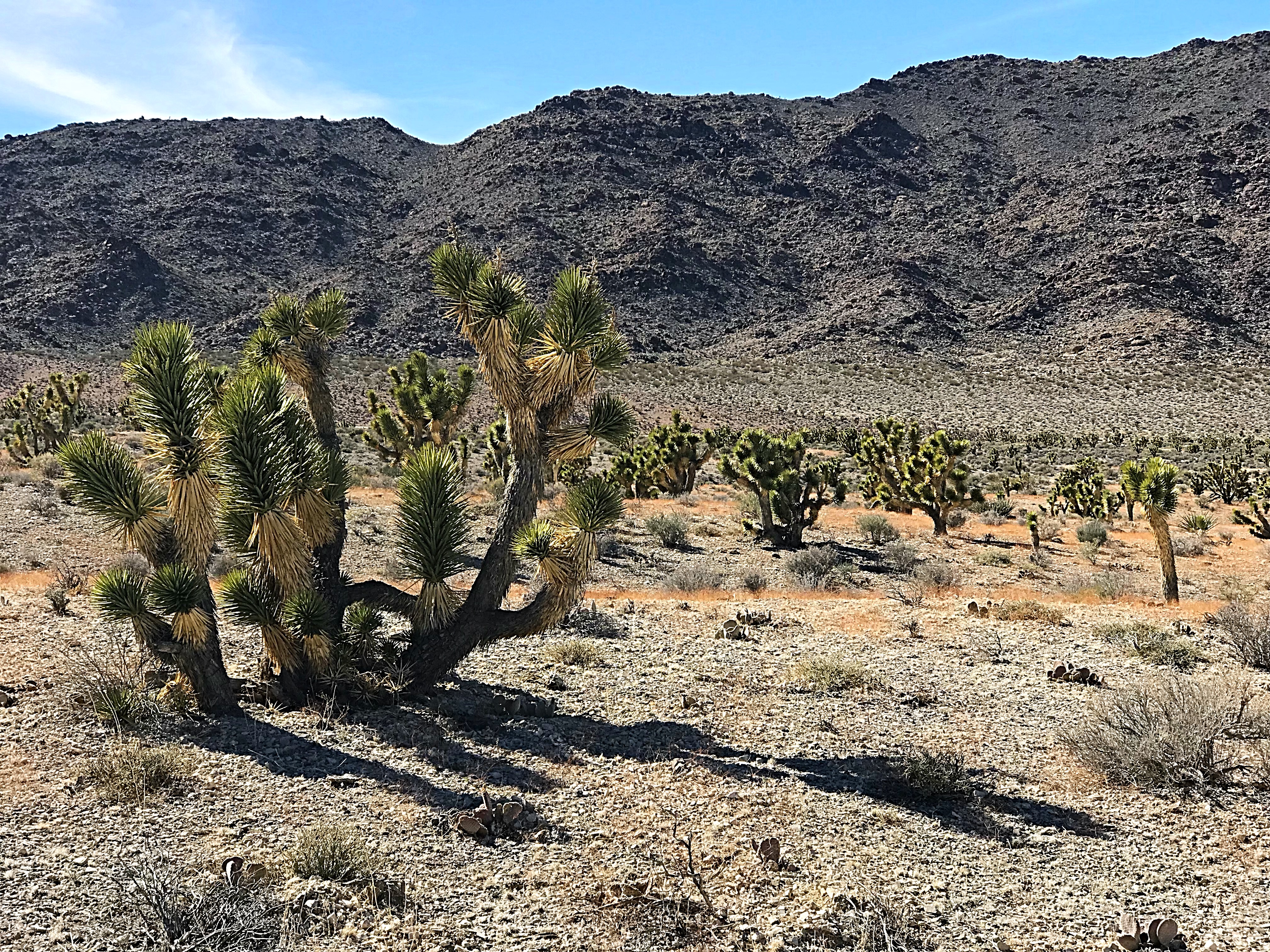
Joshua trees on the lower slopes of Peak 5218.
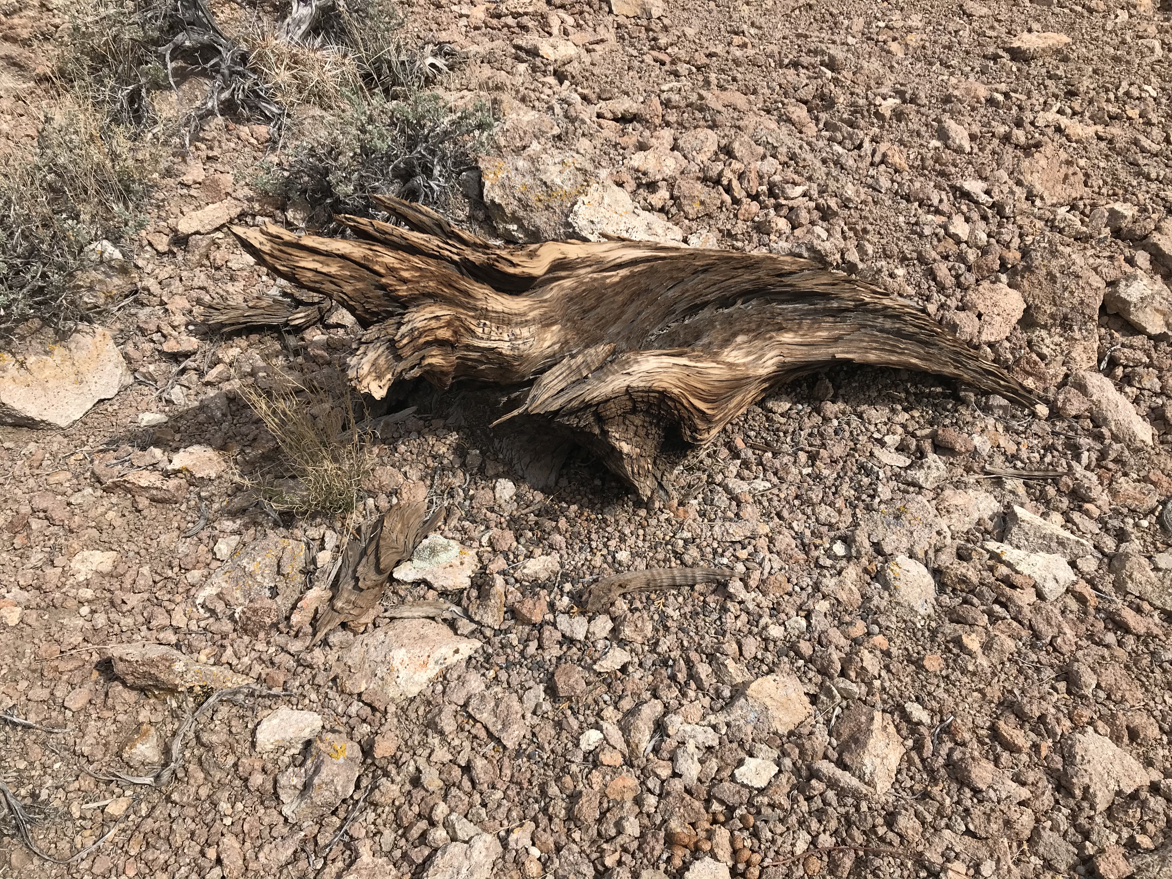
We found evidence that in earlier, wetter times the upper slopes of Peak 5518 were home to a few junipers.
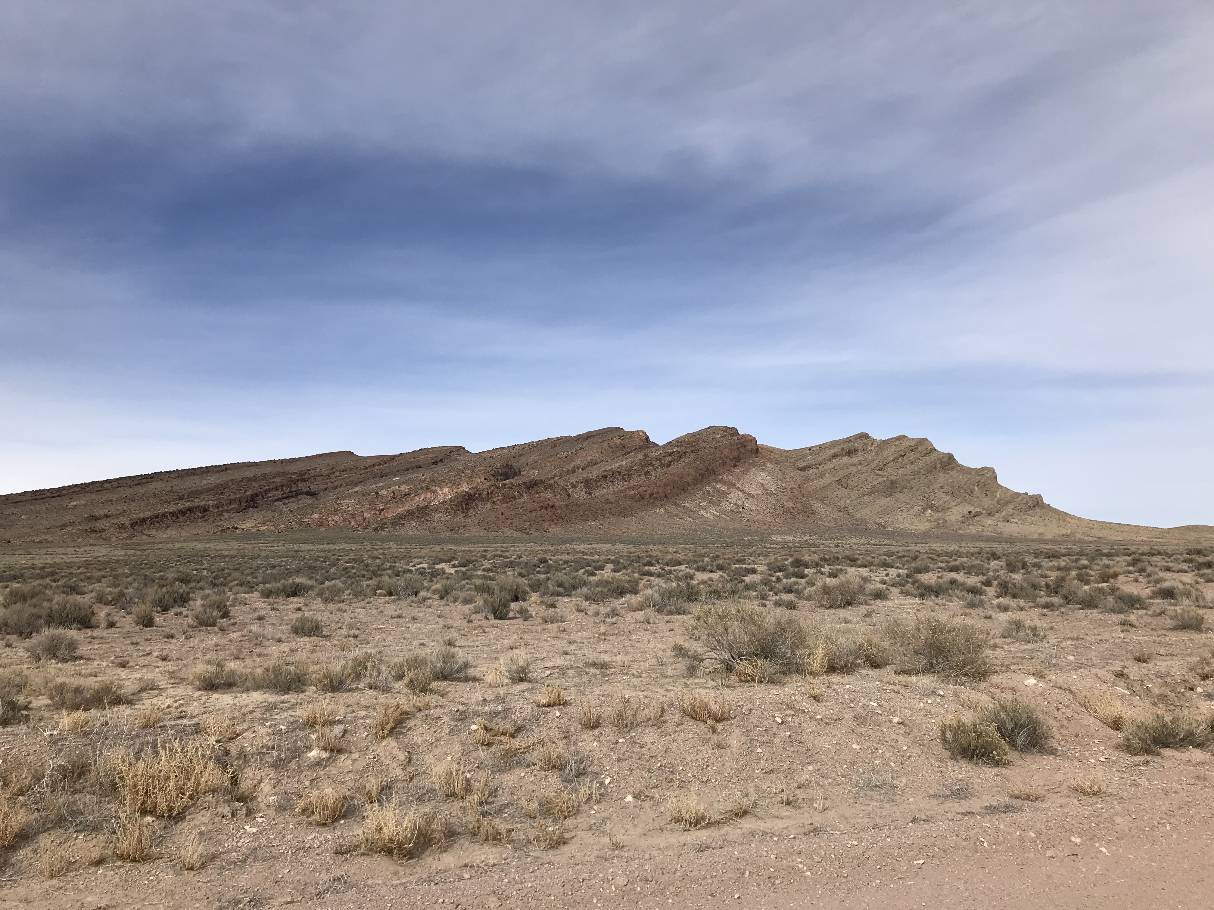
Peak 5218 is a Typical Southern Nevada Peak
Like a lot of desert peaks, Peak 5218 looked difficult to climb. Limestone cliffs dominated 2 sides and the other sides were convoluted with twisting gullies and steep broken rock. As is often the case, a good line existed and our ascent turned out to be relatively easy. But because of the lack of vegetation and the impact of Summer monsoon rains that sharply erode these mountains, drainages are often blocked by dry waterfalls. We had to cross 4 deep drainages on the way to the final ridge that we took to the top.

We climbed and descended these slopes on Peak 5218. John Platt Photo
We, or should I say John, pushed our ascent pace as he was worried about Ruby getting too hot in the truck. After the climb, we decided that 4 peaks was a good day’s work. We returned to camp and enjoyed the great weather.
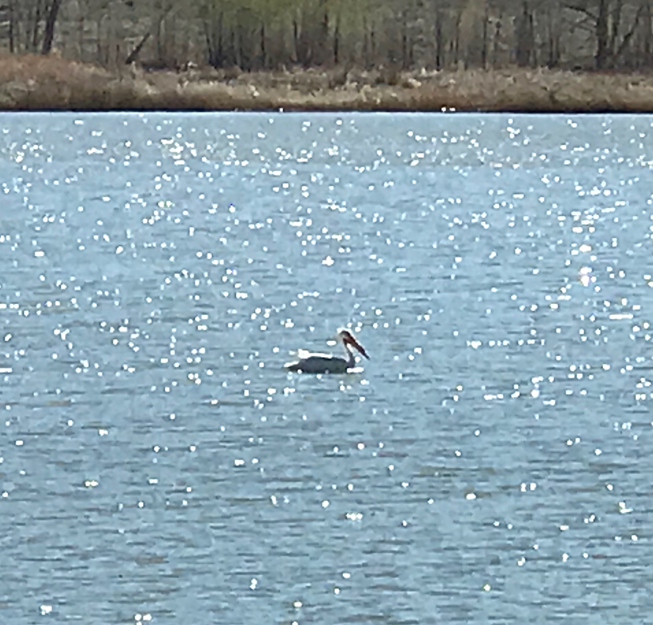
A pelican cruising across the lake on a sunny Monday afternoon.
The campground is located on the lake’s East Shore.
The Basin and Range National Monument
On Tuesday we decided to head north to Coal Valley which is one of the country’s newest National Monuments: The Basin and Range National Monument. This monument was established in 2015. Its name reflects Nevada’s dominant topography of expansive basins and long, narrow mountain ranges. The area appears amazingly empty at first glance but is, in fact, filled with ancient petroglyphs, spectacular mountain peaks and thousands of vertical cliffs. There is some bad news. There are plans to drill for oil in Coal Valley and the Air Force routinely buzzes the area at both subsonic and supersonic speeds.
Peak 6221 above Mail Summit.
We left NV-318 just north of Hiko by turning onto [signed] Mail Summit Road. Once again, we were surprised that this road was a well constructed and often maintained route. We followed the road to Mail Summit where we parked and climbed Peak 6220 and Peak 6221. The ridge between the 2 peaks was blocked by a short rocky section that we bypassed but was otherwise a pleasant stroll.
John and Ruby crossing the ridge between Peak 6220 and Peak 6221.
We then drove down into Coal Valley, parked and pulled out our maps to survey our options. There are hundreds of peaks we could visit around the valley. While we sitting there, I looked up and spotted two F-16s speeding toward us literally 100 feet off the ground. Two seconds later, they buzzed by us wiggling their wings to say hello. What a photo that would have made!
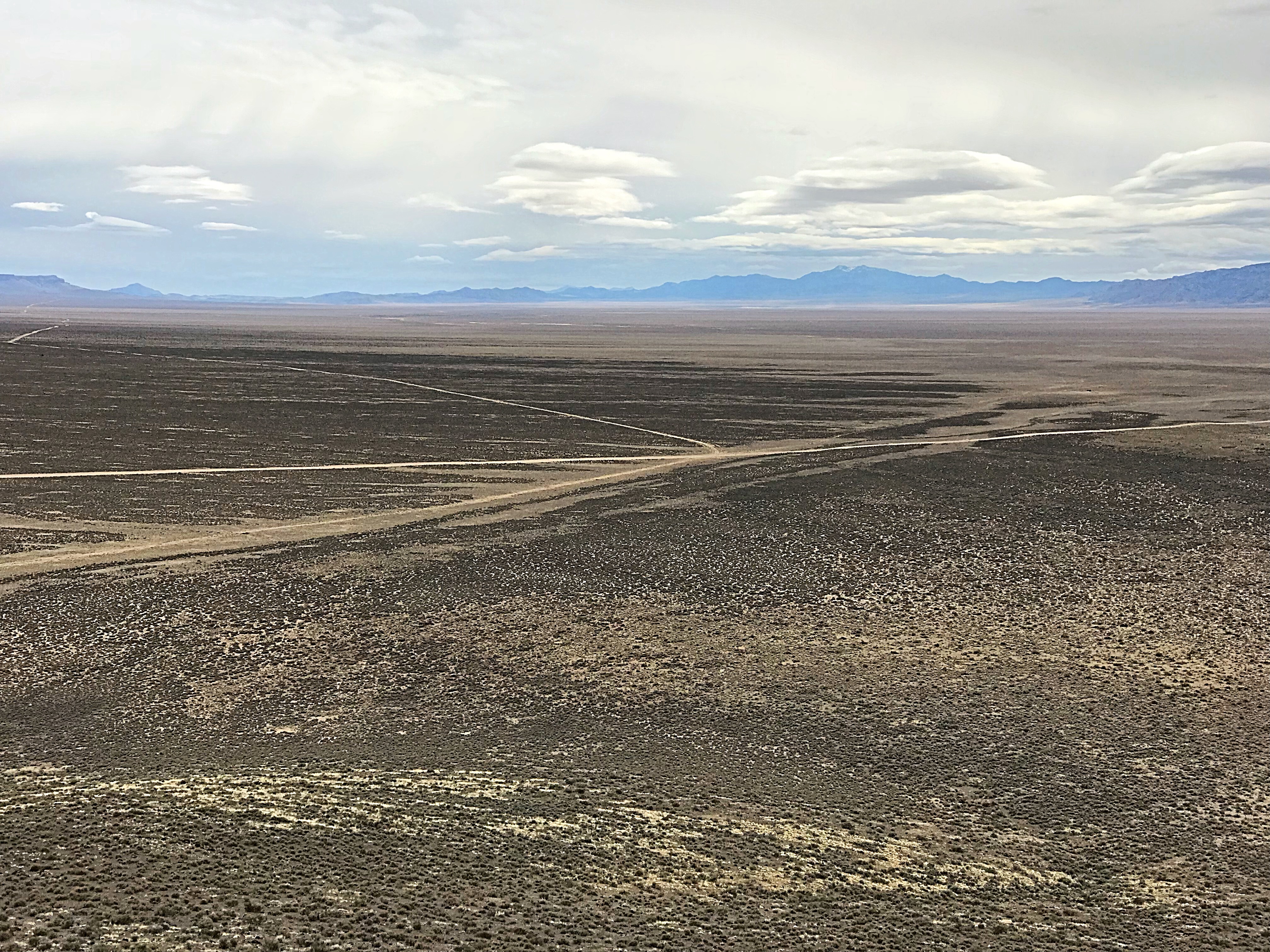
Expansive Coal Valley
The Golden Gate Range
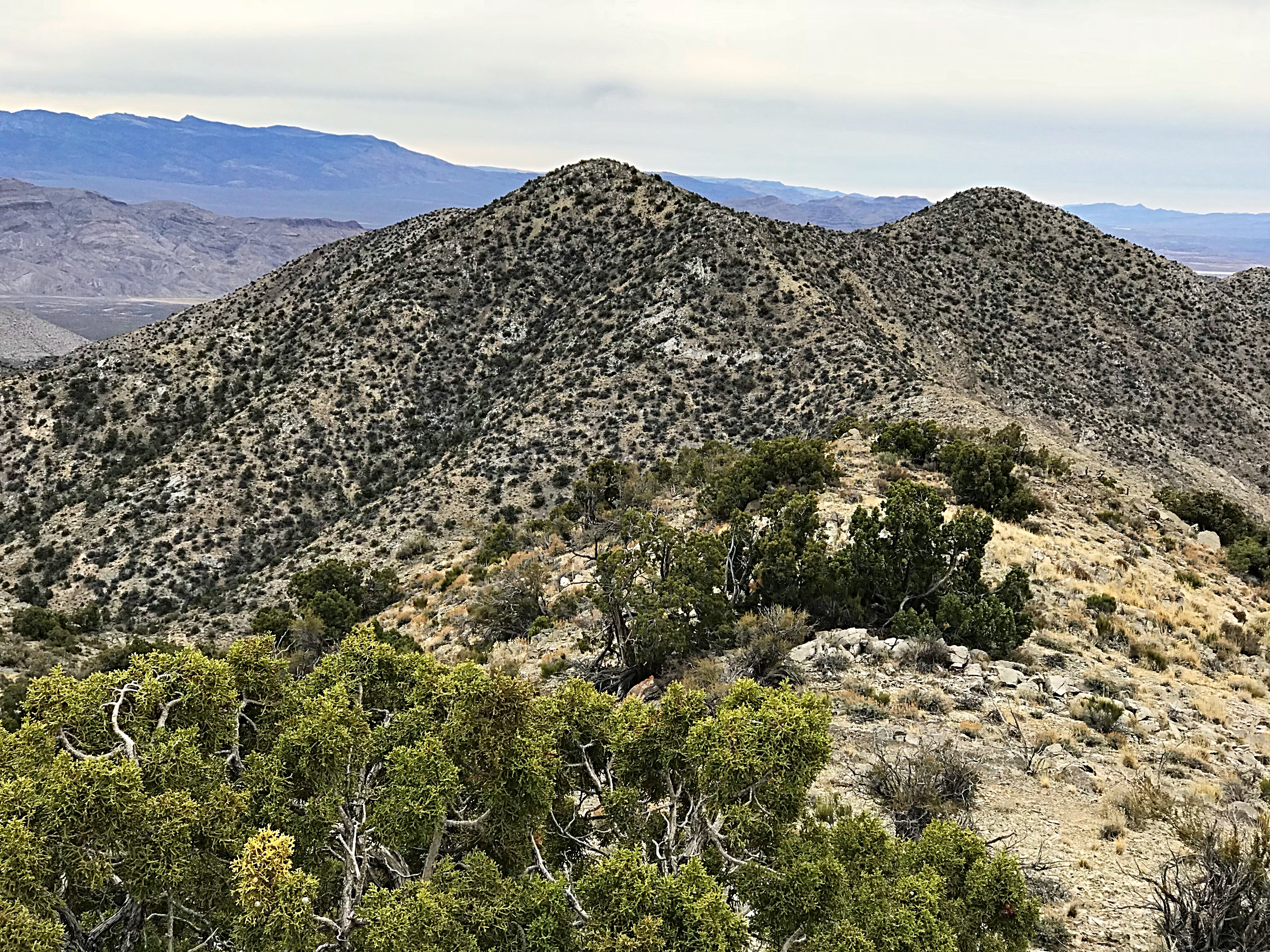
The west side of Coal Valley is bordered by the Golden Gate Range. This range runs south to north and is formed by a series of uplifts (resembling islands rising out of a sea) separated by wide gaps. While not as high as the nearby Grant and Seaman ranges, it looked intriguing on the maps. Now that we were at its base we decided that the range was indeed special. These limestone islands are defined by impressive cliffs and prehistoric shapes. The potential for high-level technical climbing is beyond measurement.
A small sample of the Golden Gate Range terrain.
We decided to sample the range’s peakbagging potential and drove for miles toward an area identified as Water Gap on the maps. Along the way, we scoped out the cliffs, canyons and peaks that we passed. As we approached Water Gap, we decided to climb Cherry Benchmark, a 6,285-foot peak which we considered to be typical of the range’s peaks.
Cherry Benchmark is a complex peak with steep cliffs on its East Side and convoluted ribs on its West Side. This view is from Water Gap.
Cherry Benchmark.
Our route to the summit followed a deer trail. We even spotted a half-dozen deer partway up. Deer antlers were spread all over the upper peak.
Looking north from the summit of Cherry Benchmark.
Oreana Springs and Quintessential Nevada
After Cherry Benchmark, we decided to head back across Coal Valley to the Oreana Springs Valley which is nestled high in the Seaman Range. We knew little about the area other than on the map it was surrounded by sharp peaks and that there was a road that lead to the springs. The road was graded up into the valley. The closer we got, the more beautiful the view became.
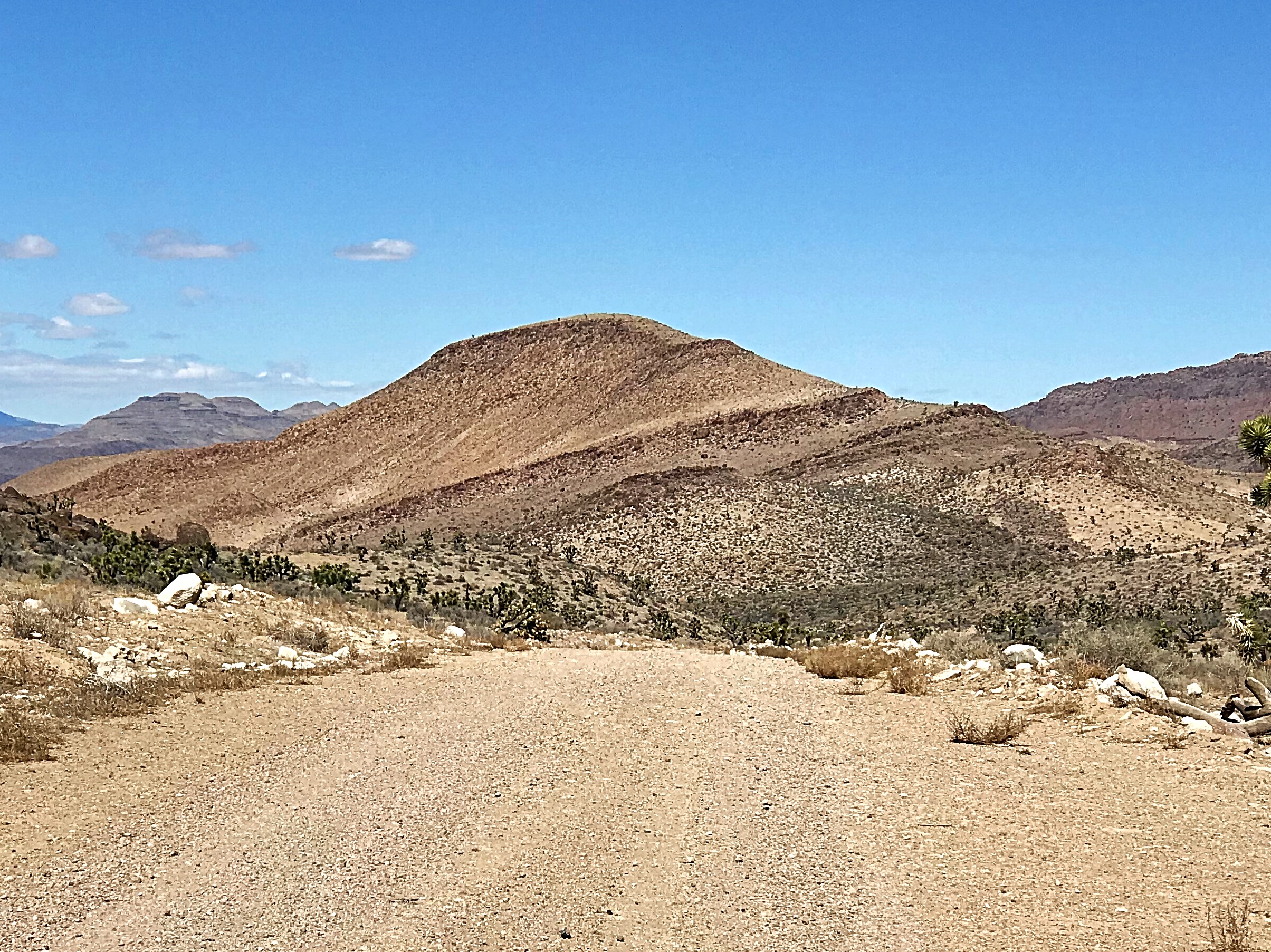
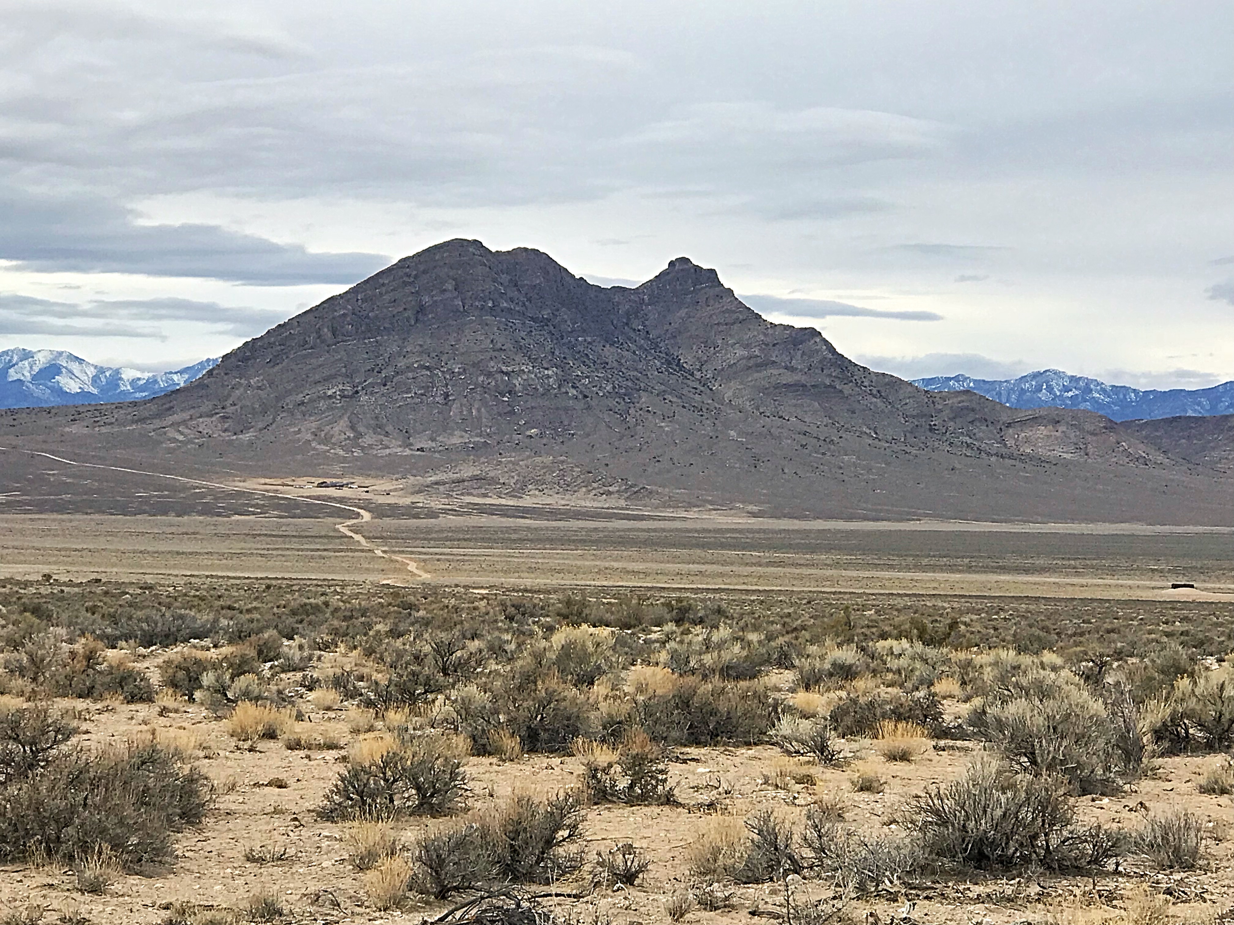
We did not run into any cowboys but evidence of their use of the area was ever present, including corrals, water troughs, old rusted cans, cows and cow shit. You could easily imagine John Wayne riding through the valley. Peak 6530 was the first summit to catch our eye. It is one of those peaks that you just cannot ignore as it rises up above the North Side of the Oreana Springs Valley. The North Side of the valley is part of the Weepah Spring Wilderness.
Peak 6530
We found a nice camp spot surrounded by rocky towers and settled in for the night. John had some energy left and headed off to climb one of the nearby towers. Ruby and I had a leisurely dinner and enjoyed the coming of twilight.
Camping in the Seaman Range.
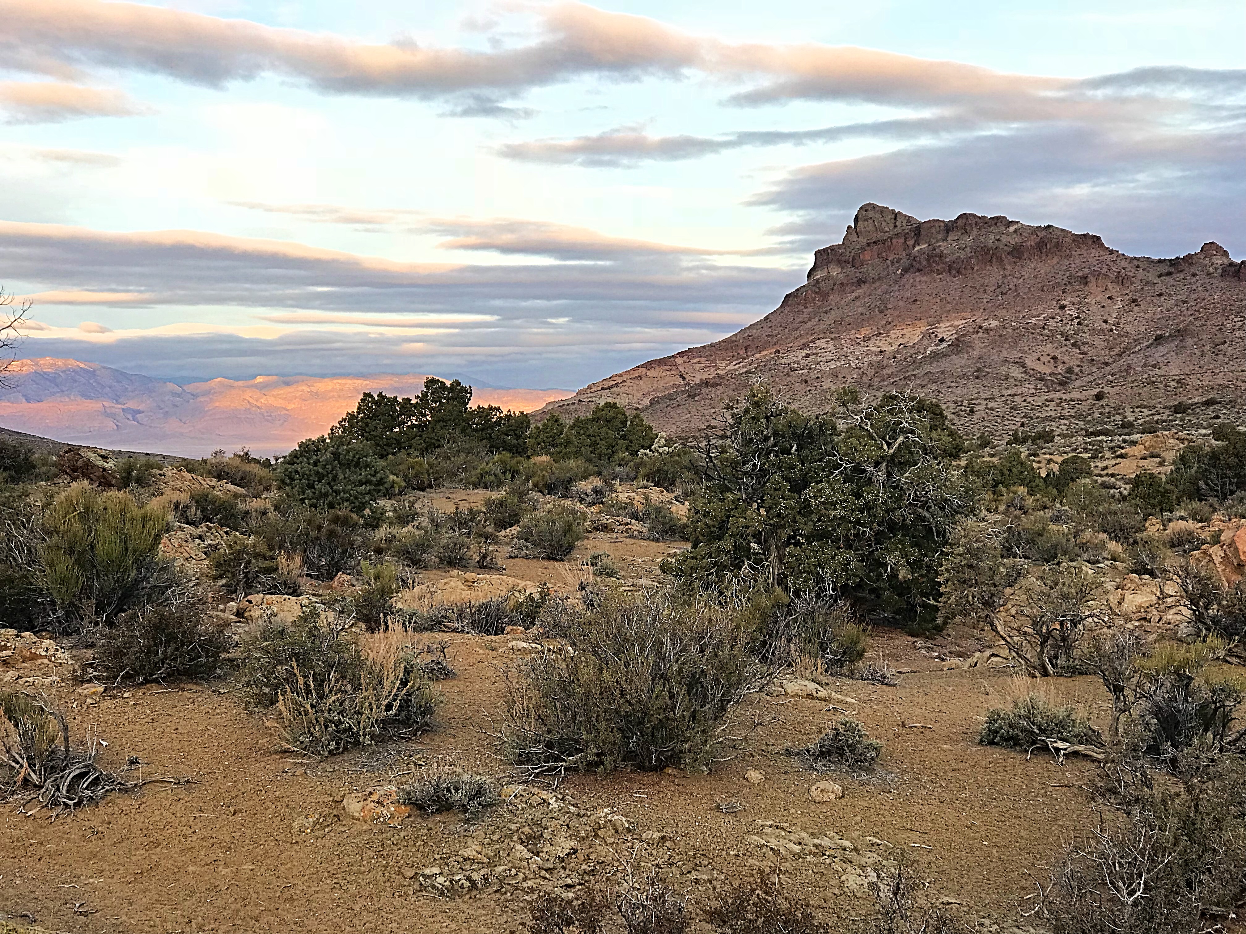
Evening high in the Seaman Range.
All Good Things Come to an End
We knew that the weather forecast was not favorable when we awoke on Wednesday morning, but remained hopeful that we could get some climbing in before the rain arrived. So we hit the trail early and reached the summit of Peak 6797 before 7:30AM.
Peak 6761 as viewed from the south. It is located in the Weepah Spring Wilderness.
The summit of Peak 6761. This was our 2nd peak on Wednesday.
The summit of Peak 6797. Getting better with age?
Next up was Peak 6530. Although we looked at it from several directions, we could not tell if the summit block was going to be a problem. We finally decided to climb up the North Side of the peak’s East Ridge. John found a good line up the ridge that avoided all of the obstacles and we quickly gained the top which is composed of an impressive conglomerate cap covered in lichen.
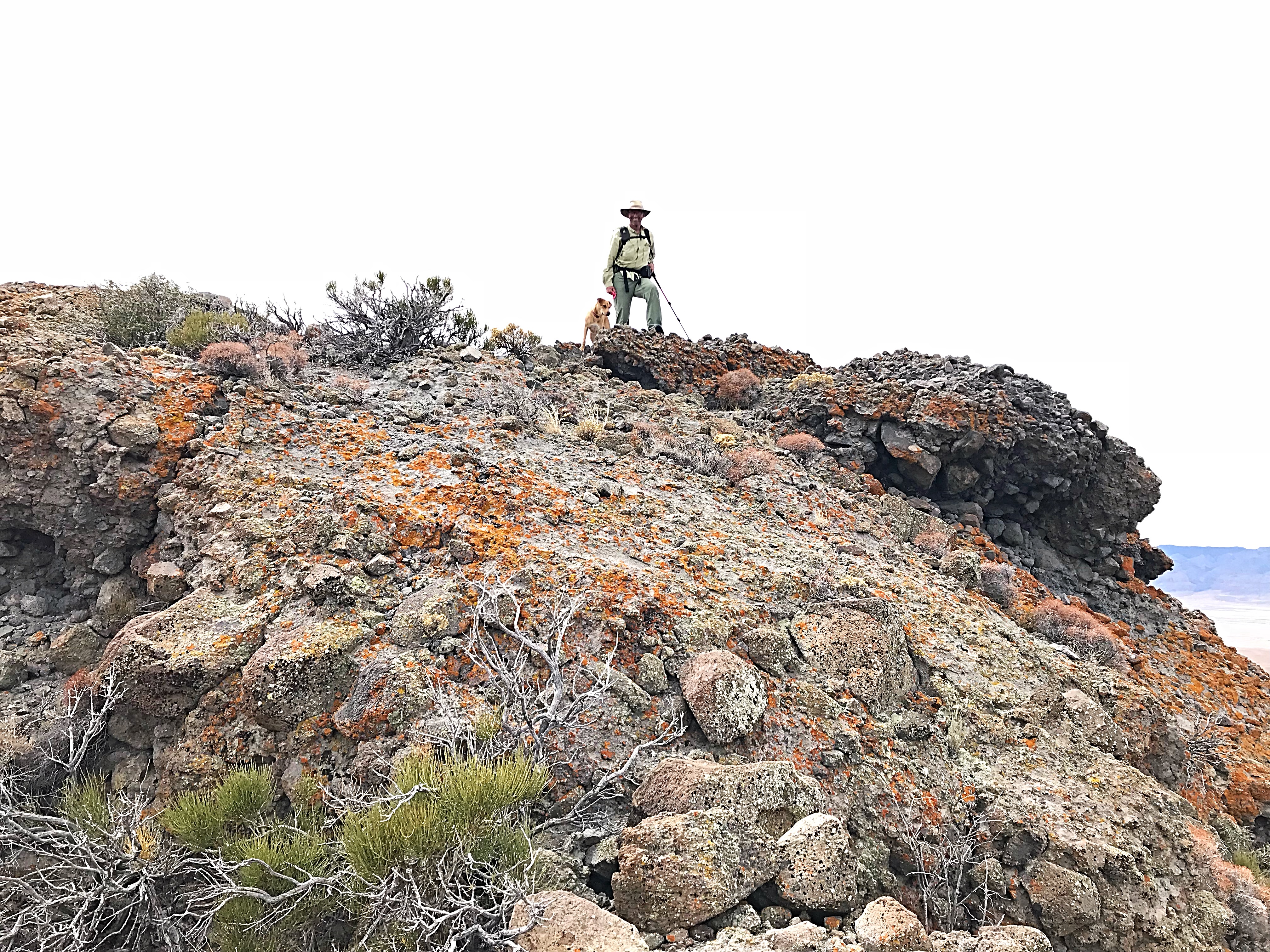
John and Ruby on top of Peak 6530.
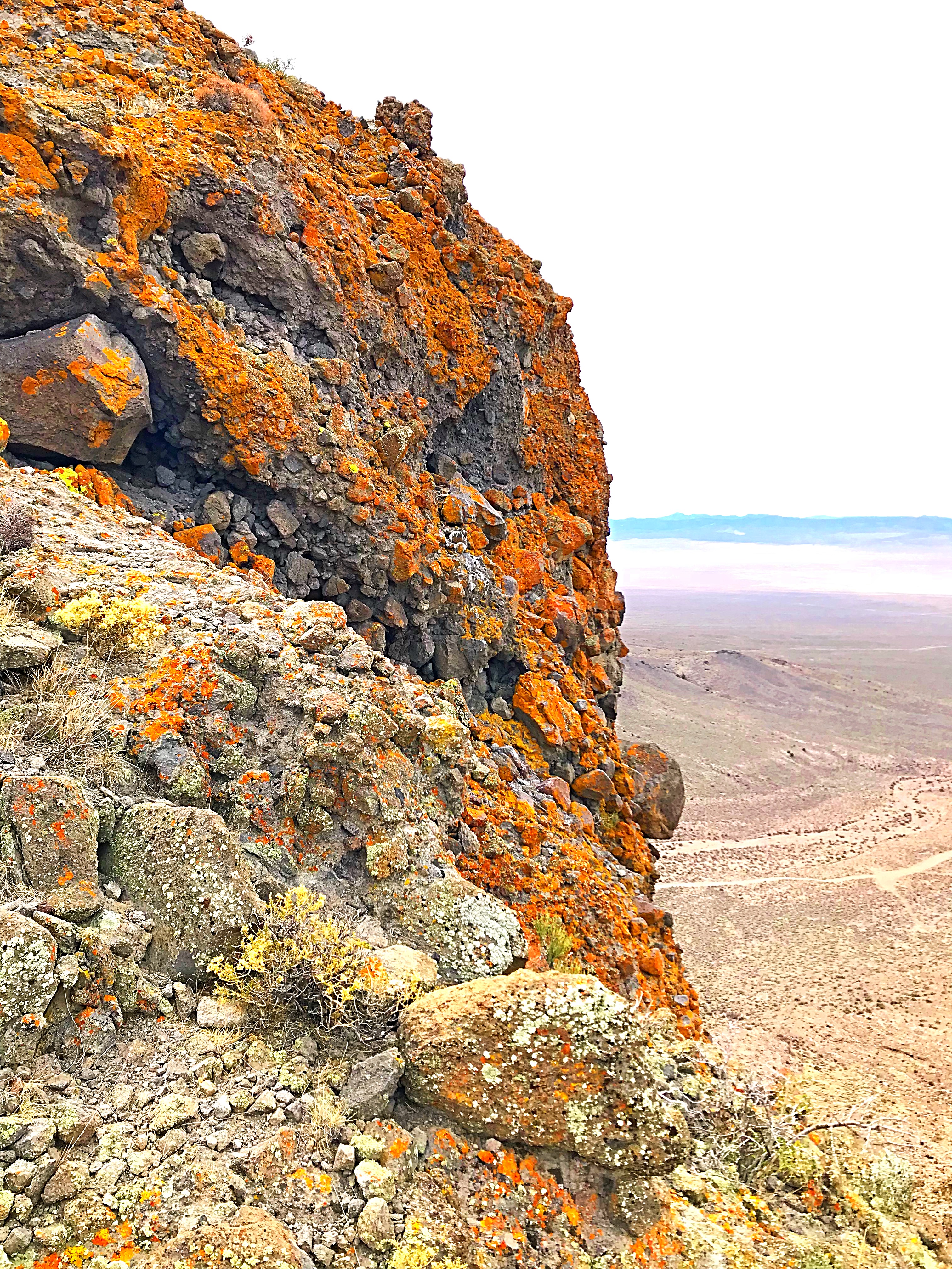
Lichen on Peak 6530’s summit block.
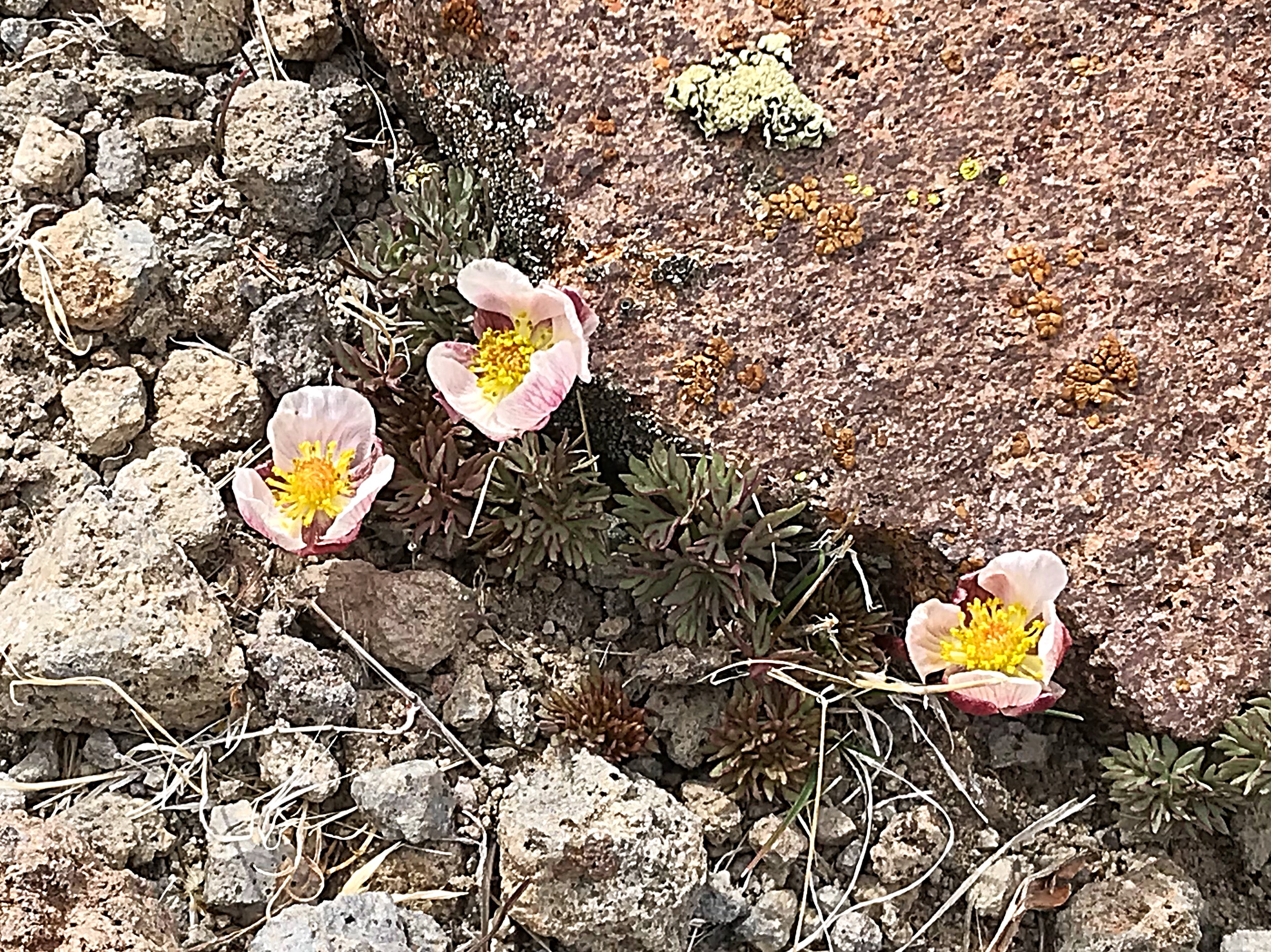
Early-blooming primrose were the only flowers we saw blooming on this excursion.
Peak 6530 has a summit block made up of an impressive conglomerate.
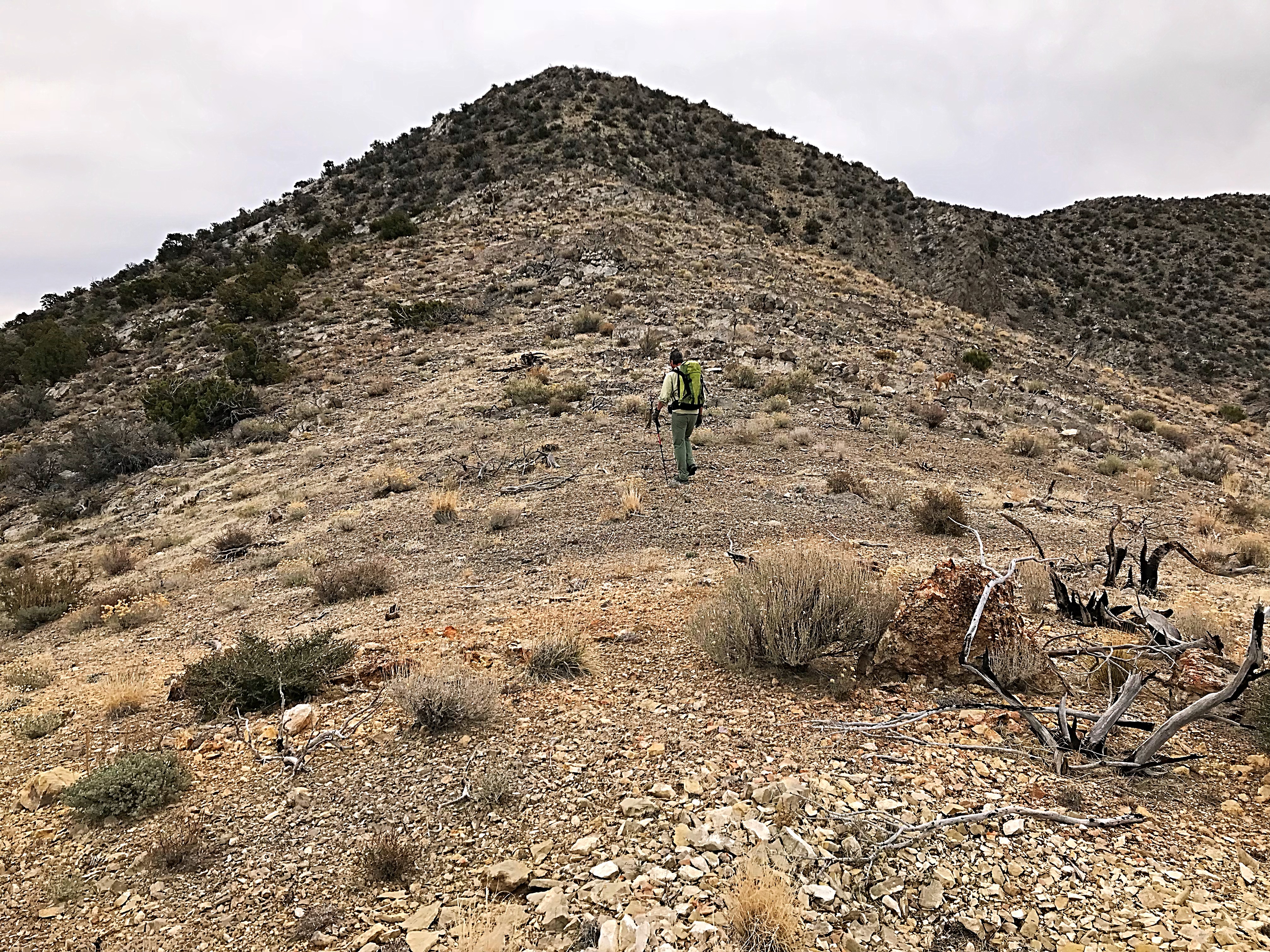
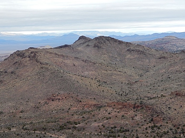
We dropped off Peak 6530 via the South Side of the East Ridge which was a much better line and returned to the truck. We ate lunch and debated where to climb. I talked John into heading north to a new area on the basis that it would help orient us, which would help us plan our next trip. So we dropped back to Coal Valley and drove north for 17 miles to isolated Peak 5565 which sits on the North Boundary of Coal Valley. Along the way, we scoped out more Golden Gate Range peaks.
This steep-walled summit looked like it would be a technical climb from the 3 sides that we observed.
Another slice of the Golden Gate Range.
One Last Peak and a Surprise
Peak 5565 was a good platform from which to view a huge swath of Southern Nevada. Interestingly, it had the only summit cairn that we found in the area. However, the most interesting structure viewed from the summit was a large rocky outcrop about 3 miles to the north. We made a quick descent so that we could drive over to see the rocky tower.
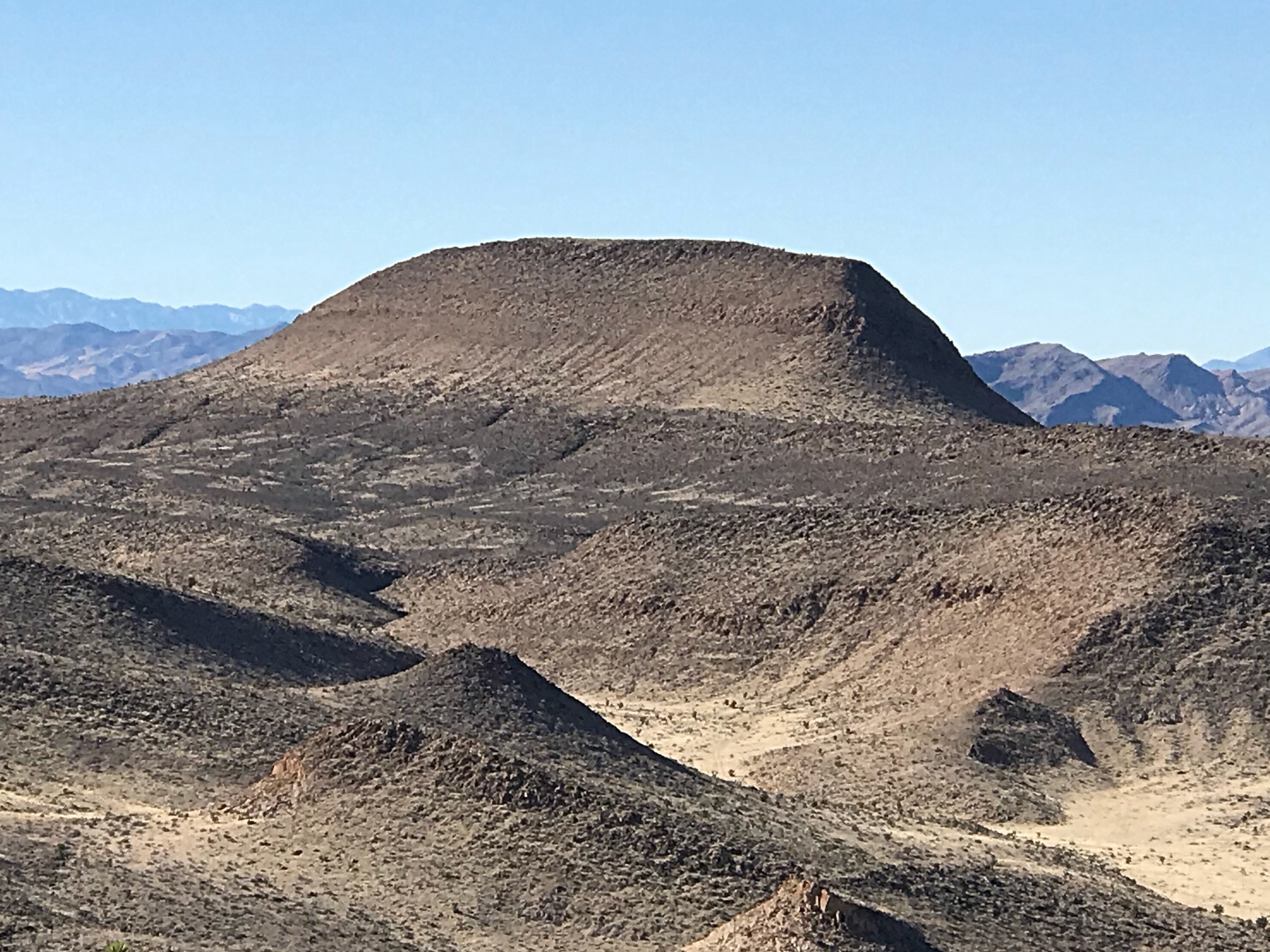
Peak 5565 resembles a volcanic cone but is simply a remnant of a sedimentary uplift.
I later learned the rock formation was called Skull Rock. It includes a beautiful arch.
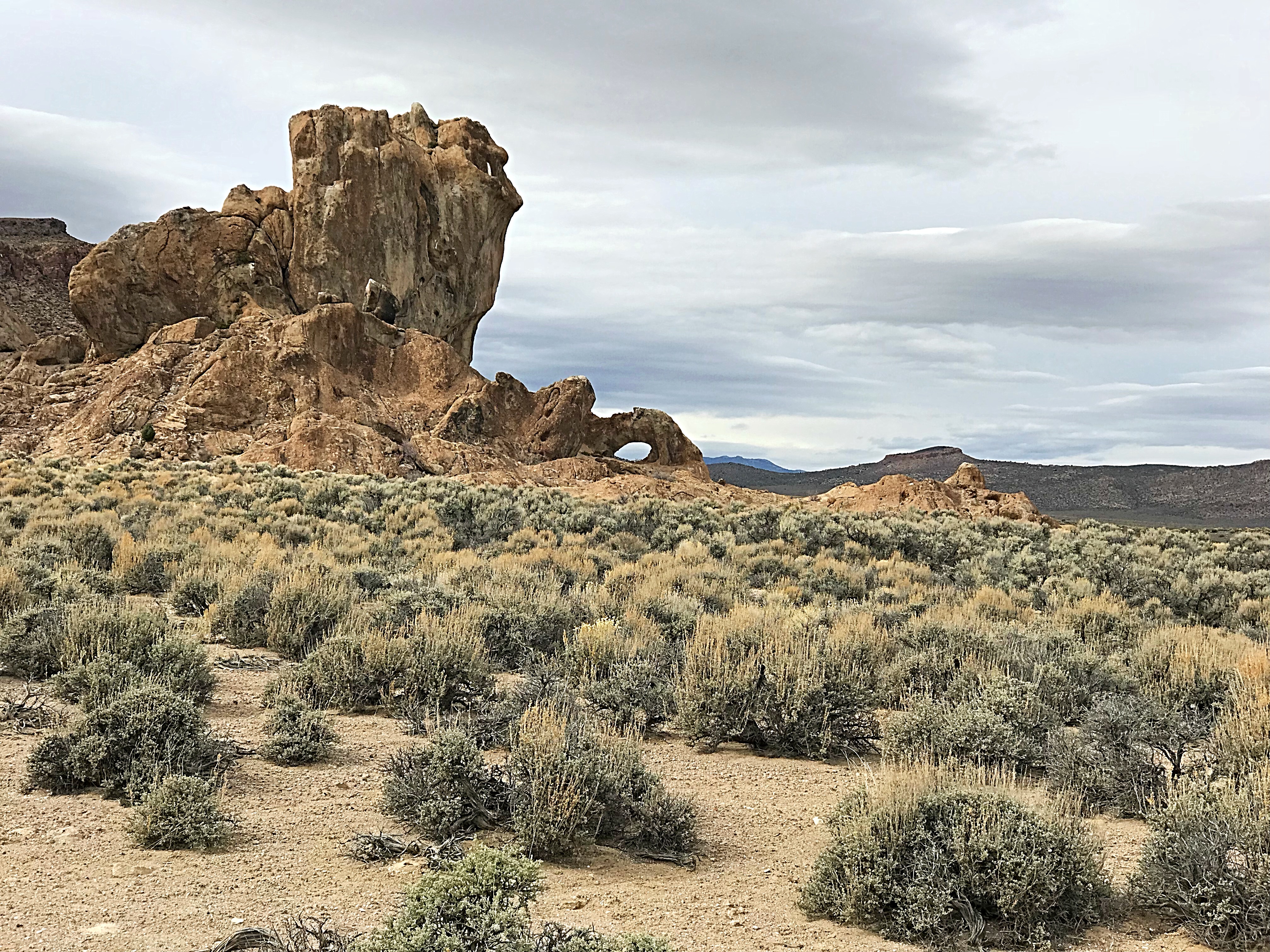
This strange formation is located at the North End of Coal Valley.
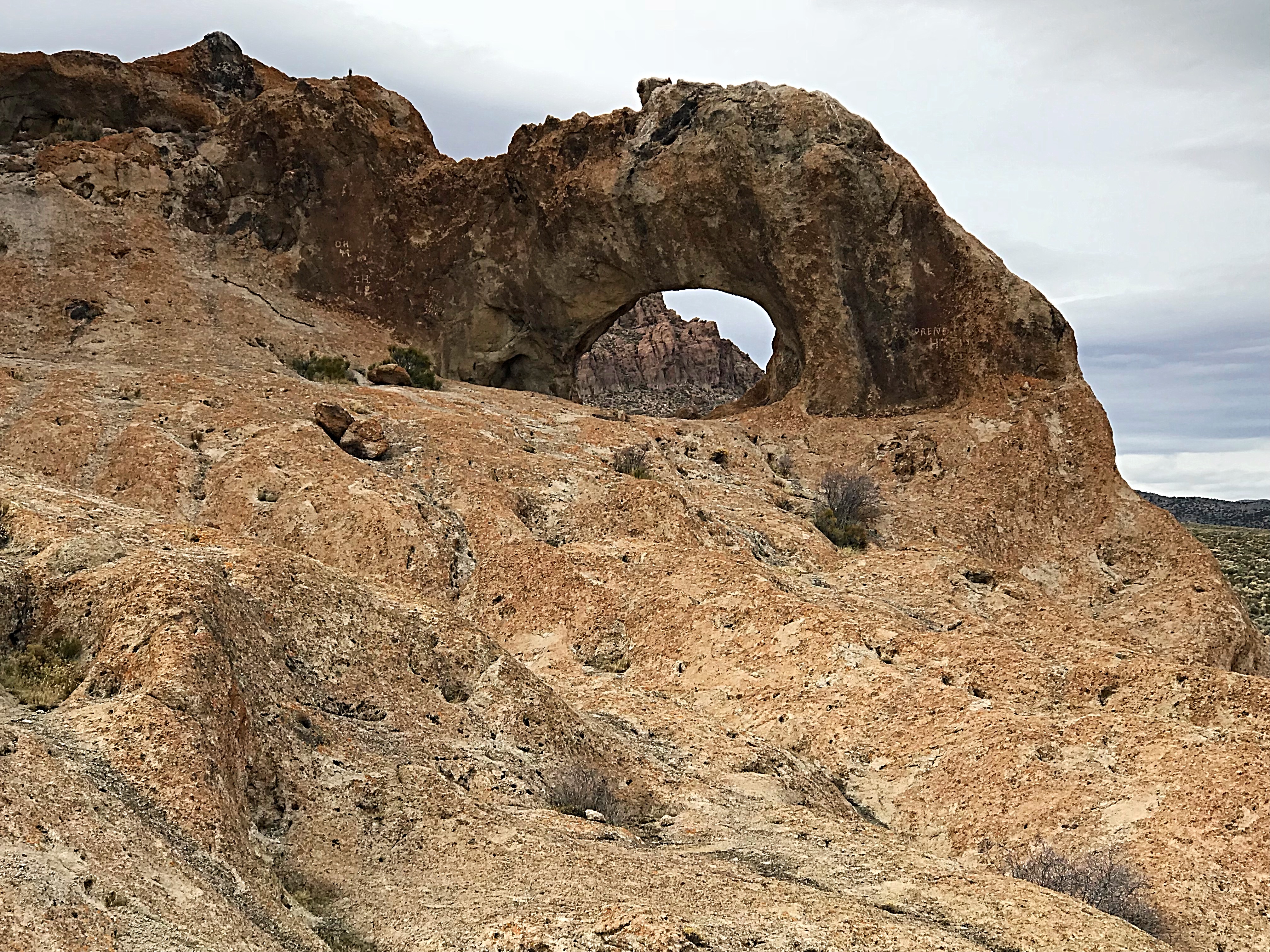
An arch in the middle of nowhere.
The End and a View toward the Future
We had only 3 days to climb with a day’s drive on each end. The weather forecast called for rain and high winds starting Wednesday night. It was time to make tracks. We decided to head back by exiting Coal Valley via Timber Mountain Pass so that we could take a look at a peak named Black Cliff. The closer we got, the more interesting it looked. Out of time, we headed to Ely, vowing to return for another attempt to eat all the chocolates.
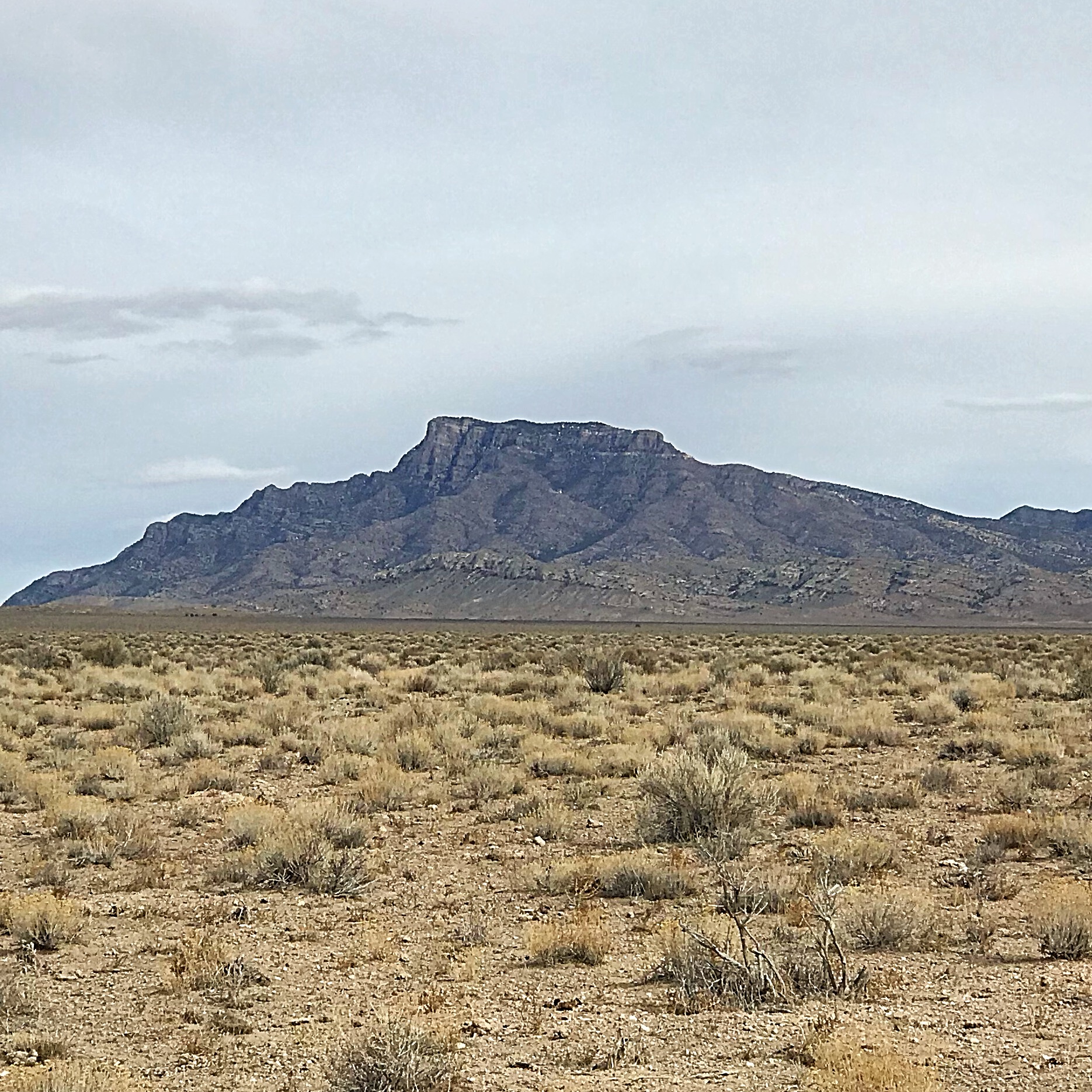
Black Cliff is one of the few named summits in the area. Next time.
Here is a list of the 12 peaks we climbed.
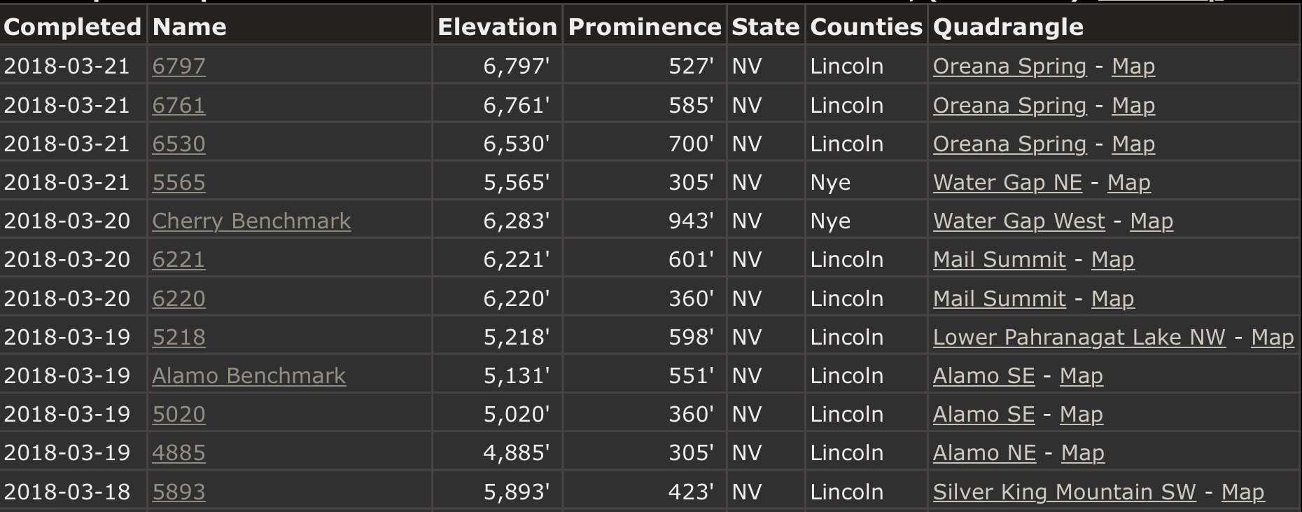
March 2018, Nevada Peaks
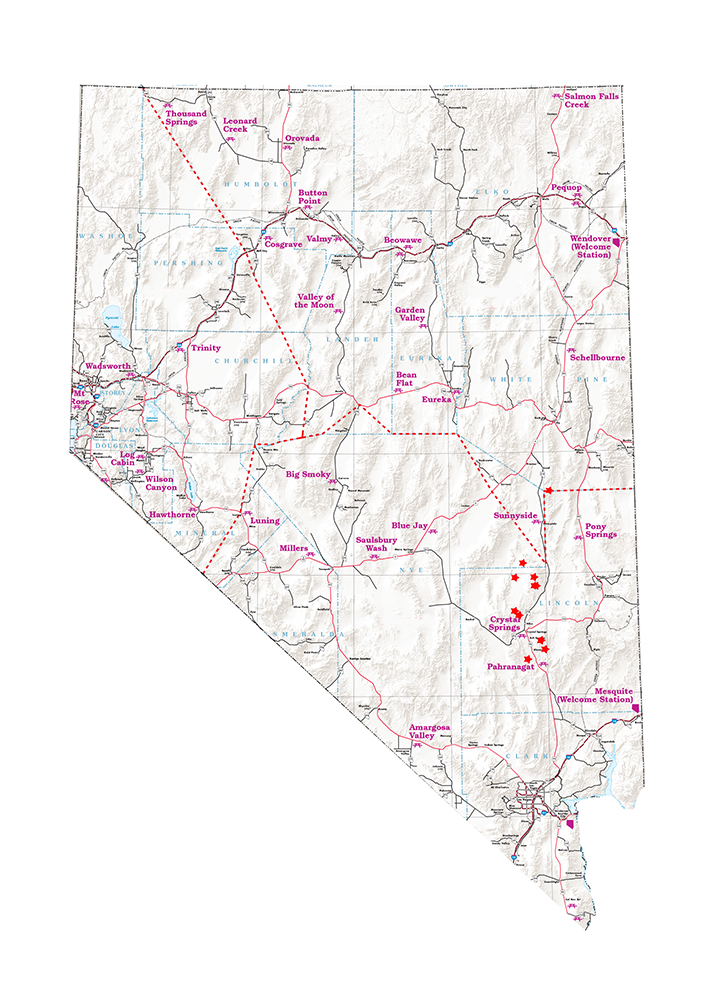
John put this map together to show the location of the peaks we climbed.
Here is a link to a great resource for visiting this area: Hiking Around Basin and Range National Monument.
Next: Another November Nevada Adventure, 2018