Article Index
John Platt and I made another of our late November trips to Nevada on the 16th, 17th and 18th. (Read John’s lyrical trip report.)
Day One
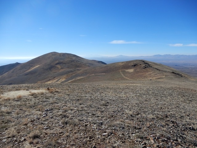
Our goal on Day one was to climb the Knoll, 8,760 feet and two of its neighbors, Peak 8609 and Peak 8542. The peak has nearly 3,000 feet of prominence and is found on a long north-south trending ridgeline situated east of US-93. The access from the highway is fair. With a 4WD and a bit of skill you can reach the 8,200 foot saddle between Knoll Mountain and Peak 8609. We climbed Knoll Mountain and then returned to the saddle. From there we traversed the ridge line south over Peak 8609 and finally reached Peak 8542. The footing and views were exceptional. Our Knoll Mountain peaks traverse covered 5.2 miles and just over 2,000 feet of elevation gain.
Knoll Mountain
The Knoll Mountain saddle.
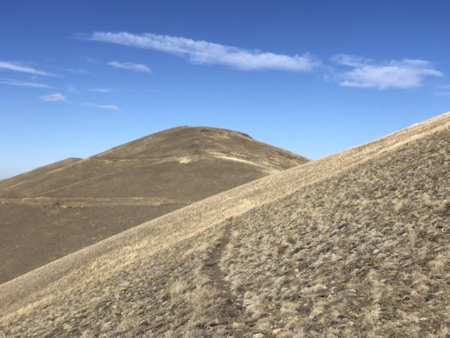
Approaching the summit of Knoll #1, 8,643, which does not have prominence.
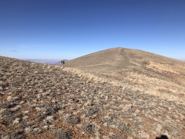
John and Ruby arriving at the summit of Knoll Mountain.
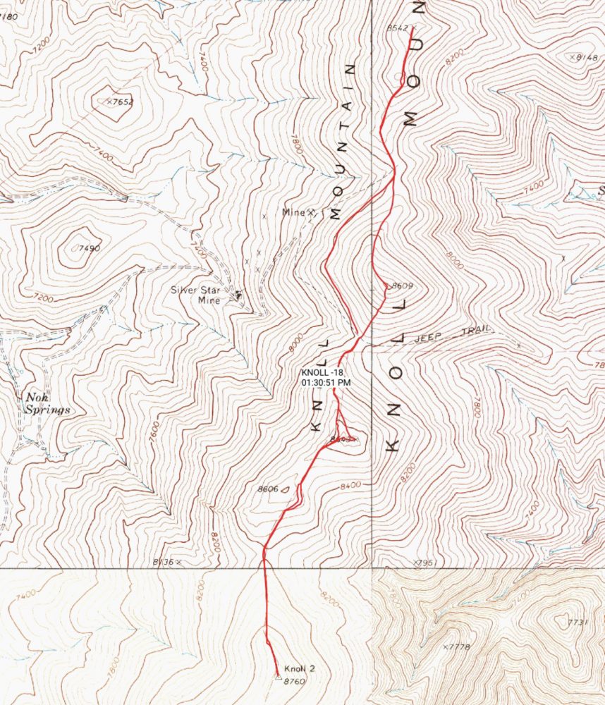
Looking north from Knoll Mountain toward the north end of the Granite Range.
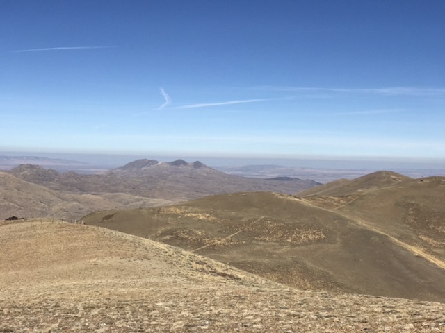
Peak 8609.
Peak 8542.
We still had plenty of energy and decided to climb Blanchard Mountain, 8,218 feet. This peak is located at the southern end of the underrated Granite Range. I climbed China Peak and it’s immediate neighbors in 2014 John and I climbed the range’s two northernmost peaks in 2016. Blanchard Mountain was a straight forward climb via its eastern slopes. The climb covered 2.0 miles with 1,098 feet of elevation gain round trip.
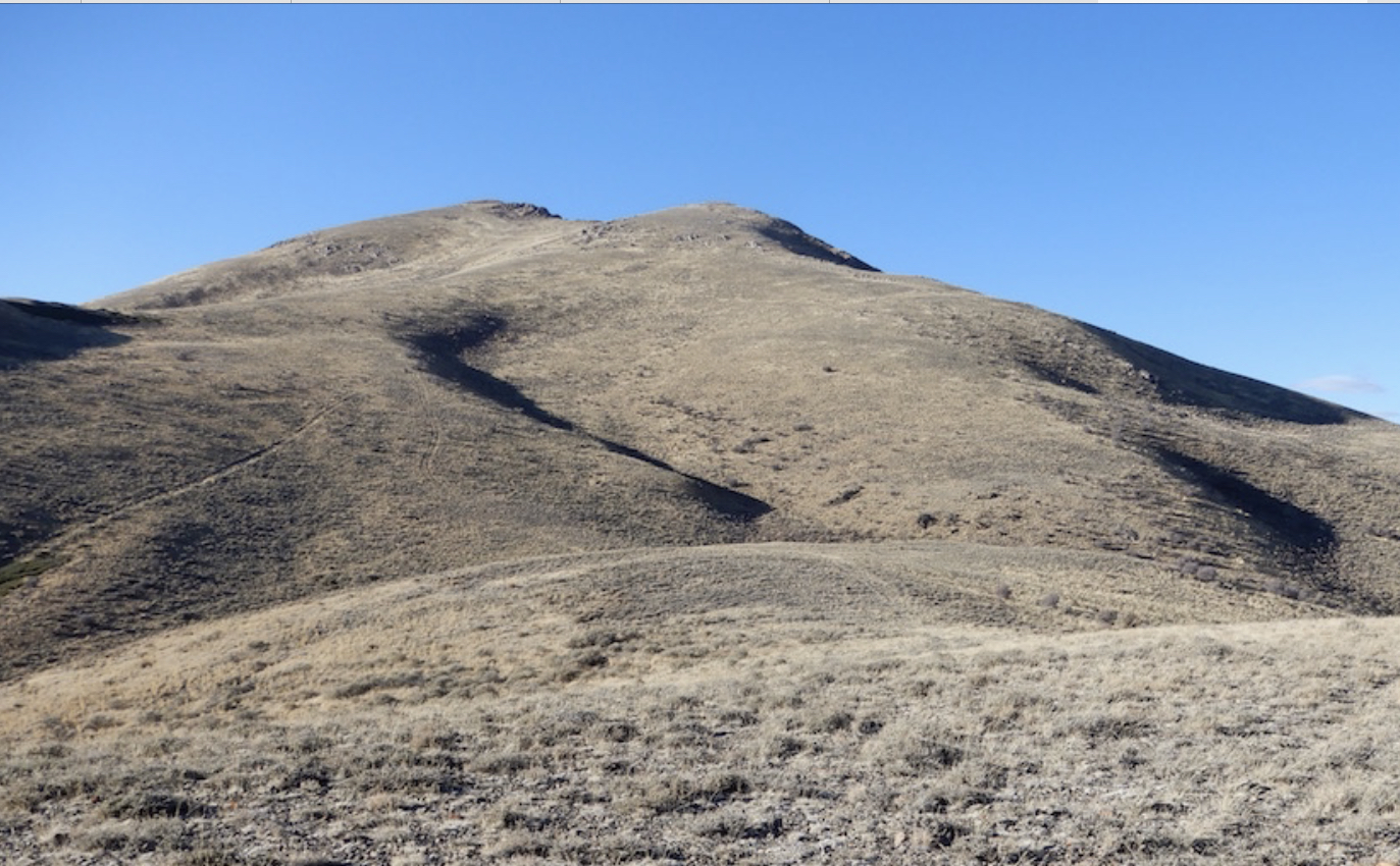
Blanchard Mountain.
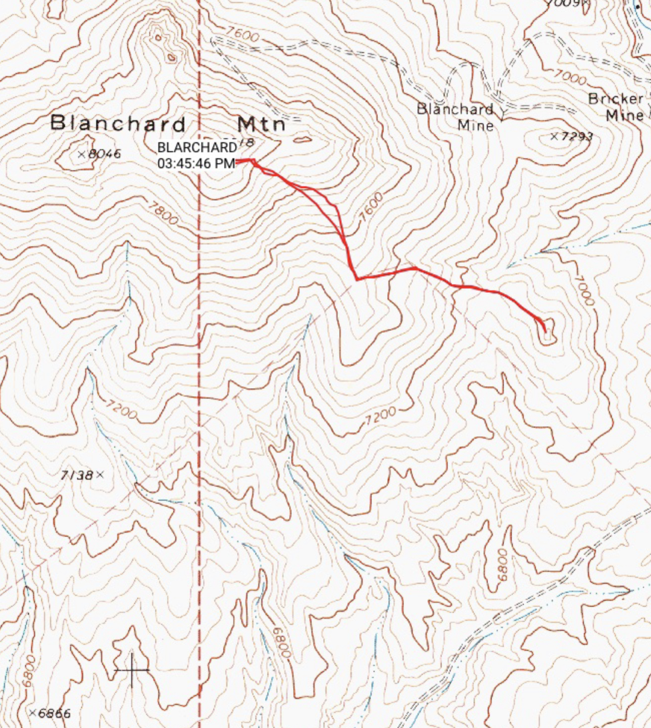
Blanchard Mountain. We were able to follow an unmapped 4WD road toward the summit.
Day Two
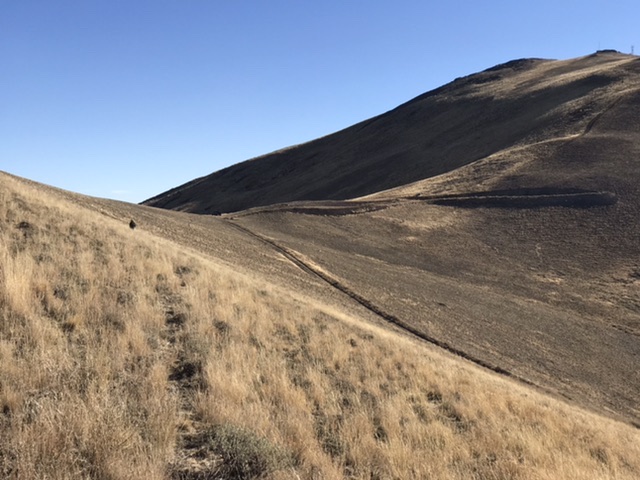
Green Mountain, 10,680 feet, is one of the most impressive peaks at the south end of the Ruby Mountains. The Ruby Crest Trail which starts far to the north at Lamoile Canyon ends at Harrison Pass. Green Mountain is the first peak north of this pass. The last mile of the crest trail leading to the pass follows a 4WD road. We drove to the pass and then followed the 4WD road north until it deteriorated into a tank trap. From our parking spot our route to the summit and back covered 7.0 miles with 2,820 of elevation gain. It was not an easy hike as we encountered lots of loose talus and a nice selection of brush along the way.
Looking up the lower ridge. John Platt Photo
Looking down our route. John Platt Photo
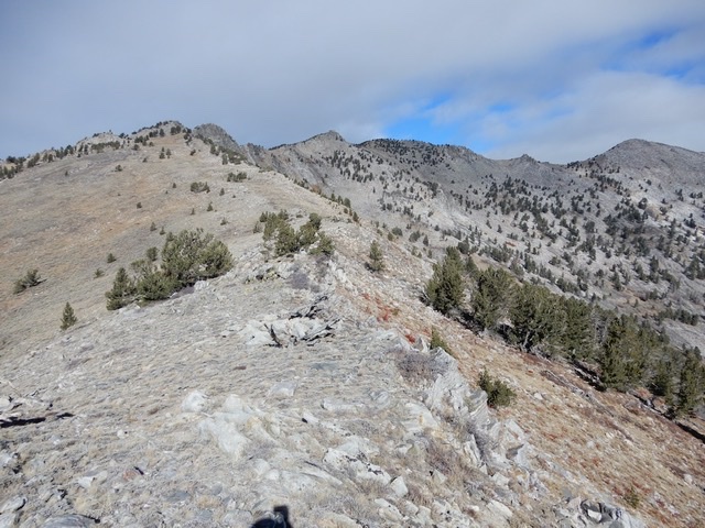
Looking toward the summit. John Platt Photo
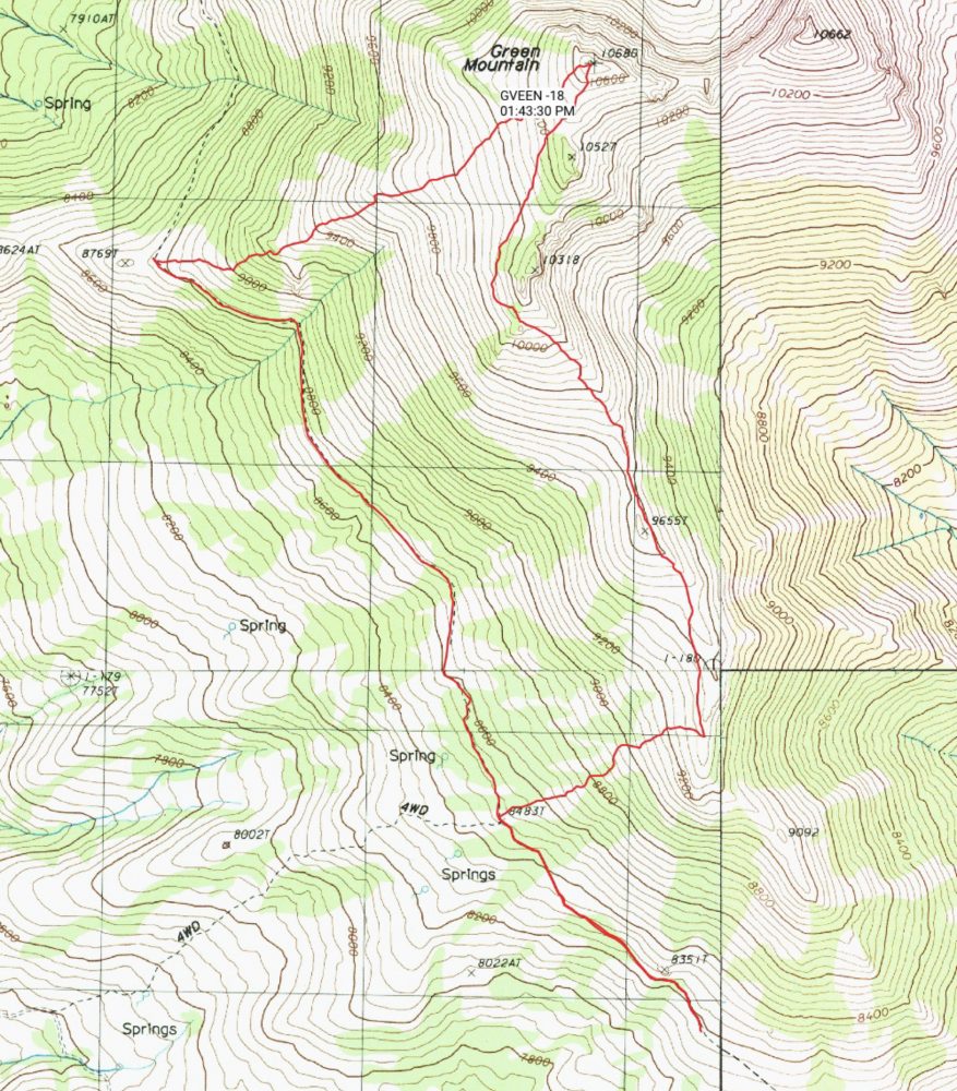
Our route to and from the summit of Green Mountain.
After the climb we made the long drive back to our motel in Wells and a nice dinner at Donna’s restaurant.
Day Three
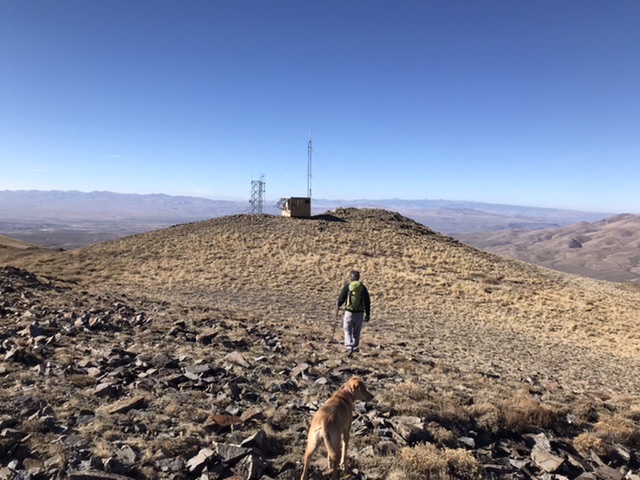
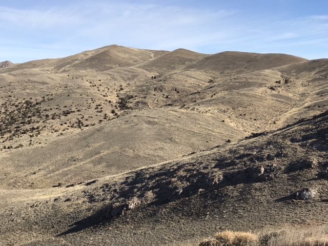
We were scheduled to return home today. So we decided to climb something between Wells and Jackpot. Wine Benchmark, 7,422 feet and it’s neighbors had eluded us on earlier trips because the access roads were too muddy to drive or even walk. This November was drier. We drove to the west side of the peak and made short work of the sagebrush covered slopes that lead to the summit of Wine Benchmark. The round trip route covered 2.1 miles with 946 feet of elevation gain.
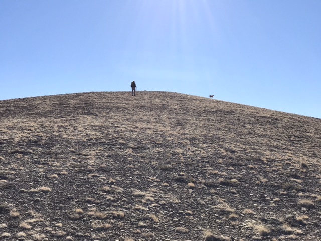
As we started back to the highway Peak 6965 caught our attention. So, we parked and hurried up to its summit. This excursion covered 0.9 miles with 516 feet of elevation gain.
Wine Benchmark.
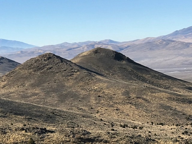
Twin summited Peak 6965 viewed from Wine Benchmark. The right hand summit is the highest.
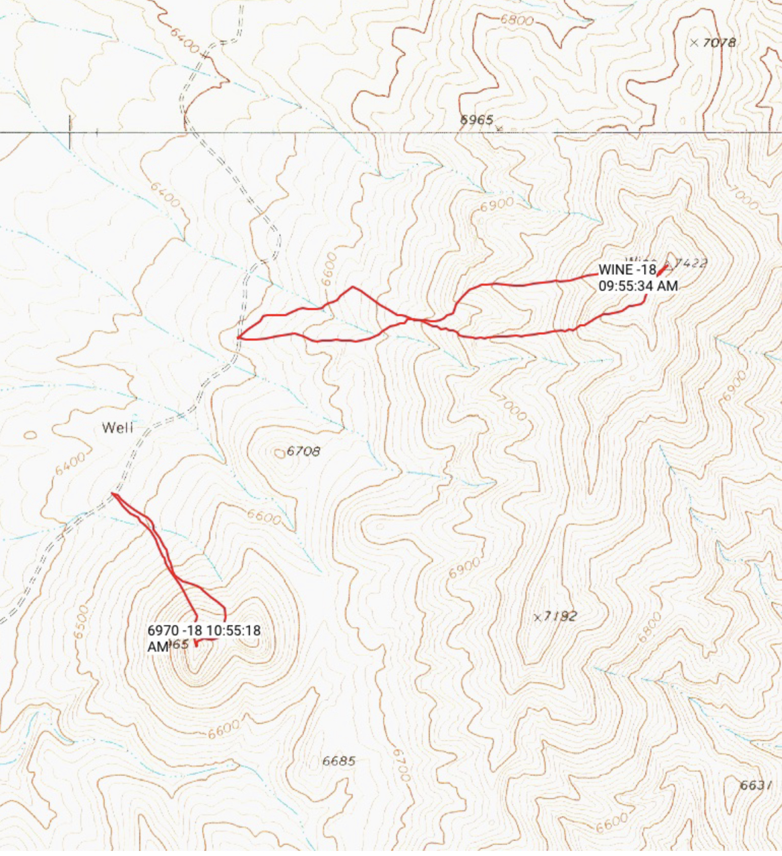
Our routes for Wine Benchmark and it’s neighbor.
Back on the road we started for home. Salmon Butte, 5,389 feet is located west of US-93 at rises up above Salmon Falls Reservoir. It is a convenient place to break up the long drive and the view makes the short walk to its summit more than worthwhile. So, we visited it’s summit for a second time.
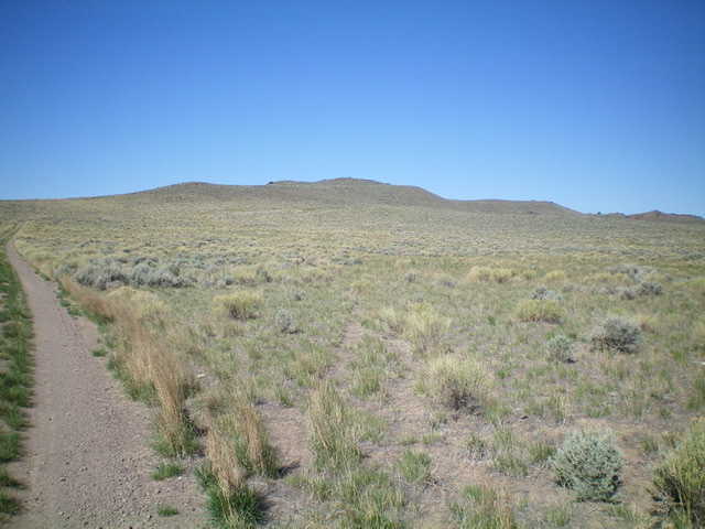
Salmon Butte as viewed from the 2-track service road to the east. Livingston Douglas Photo
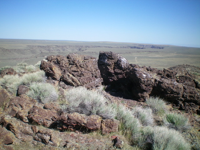
The summit boulders atop Salmon Butte. Livingston Douglas Photo
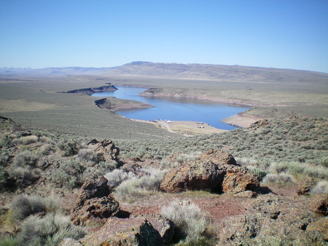
View of Salmon Falls Creek Reservoir from the summit.
Next: Kaala, the Top of Oahu