
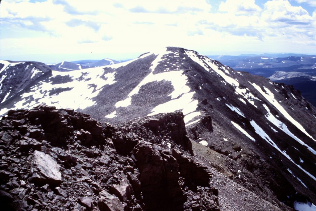
Kings Peak as viewed from Anderson Pass.
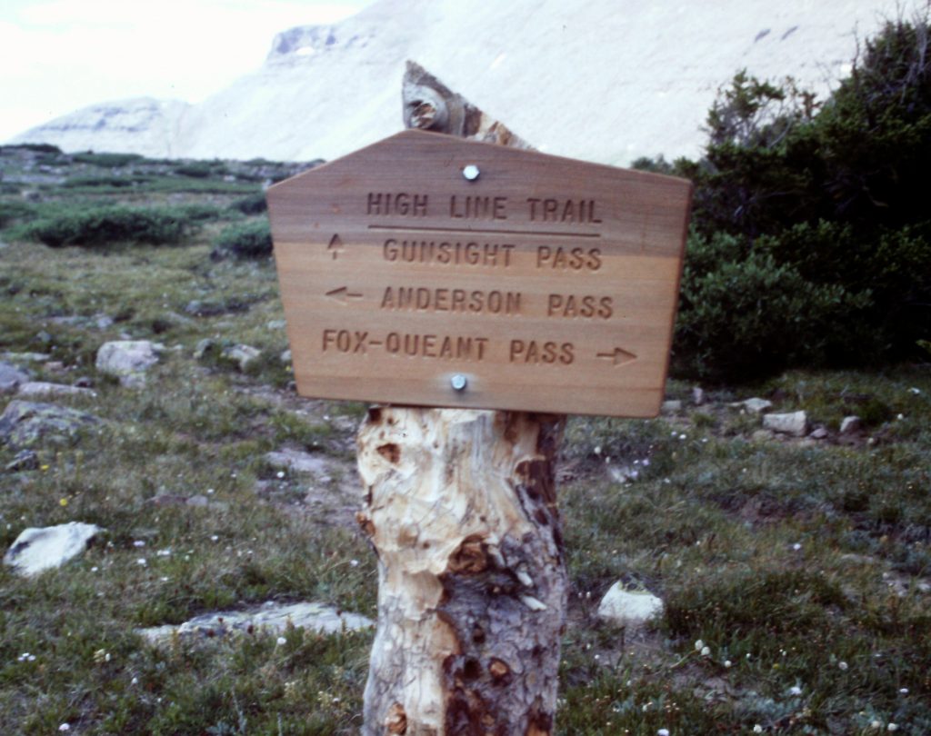
The most popular route to 13,528-foot Kings Peak (the highest point in the State of Utah) comes in from the north starting at the Henrys Fork trailhead. The summit is roughly 15 miles from the start of this trail. In 1993, hiking to destinations in an unorthodox manner served as a good counter to my structured work life as an attorney. I have always chafed at convention so in planning a climb of Kings Peak, rather than consider the standard approach, we decided to approach the peak from the east. The perks associated with this decision included following a “trail less traveled,” meaning, we hoped, fewer people and the opportunity to experience more of the High Uintas.
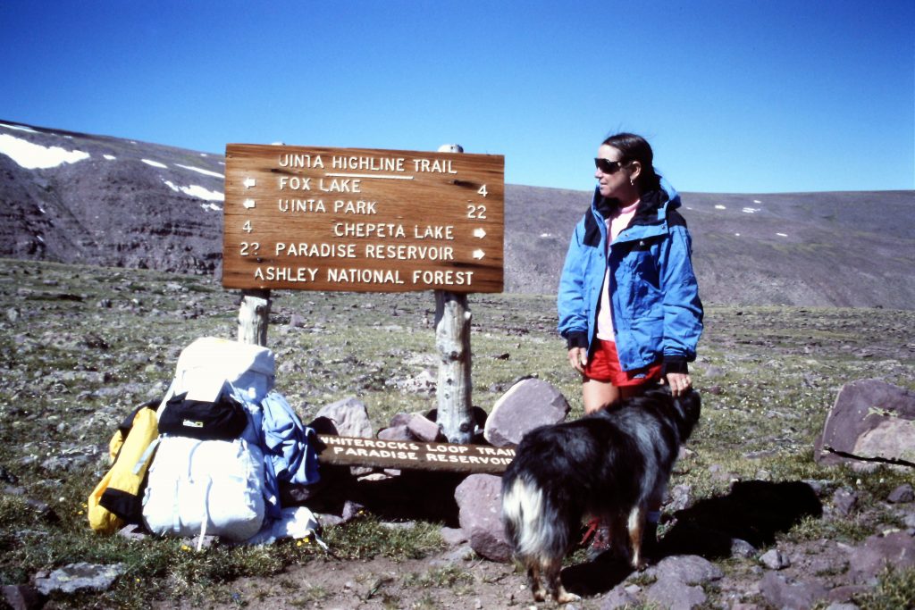
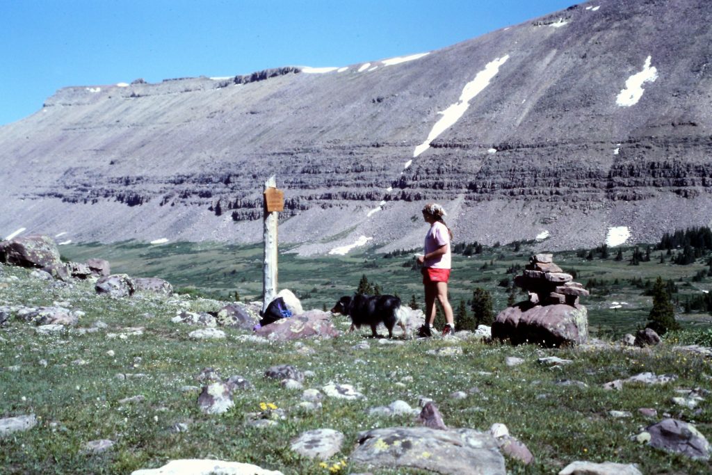
We planned our trip with the assistance of High Uinta Trails by Mel Davis and John Veranth which had all the route information we needed. Our eastern approach began at the Chepeta Lake Trailhead and would follow the Highline Trail all the way to Anderson Pass on Kings Peak’s North Ridge. This trailhead was about as far from Boise as you can go and still be in the Unitas. The road access is from UT-121. Turn off the highway and drive through the town of Whiterocks. The guidebook recommends resetting your odometer at the Post Office as you head north. In 3.6 miles, there is a junction for Uinta Canyon; continue straight. The road was well maintained when we traveled to the trailhead. At 22.1 miles, keep right and at 25.8 miles, keep left. The trailhead is 32.8 miles from the Whiterock Post Office.
The 10,600-foot trailhead had one other car parked there when we arrived on August 8th. I took this as a hopeful sign that we would see few people on the trail. We hiked from the trailhead to 10,800-foot Fox Lake, crossing over North Pole Pass (12,400 feet) on the way, a distance of 10 miles. Most of the route was above treeline with excellent views. The first thing that struck me was the eroded, rocky trail which indicated a lot of use by horses. The second thing was that the mountains were built on a much bigger scale than Idaho’s mountains. The range is 130 miles long by 35 miles wide. The high country is protected in the High Uintas Wilderness Area. Without belaboring the point, the Uinta Range is a truly massive mountain group. I mean massive in the sense that the mountains are immense and the high valleys are even bigger.
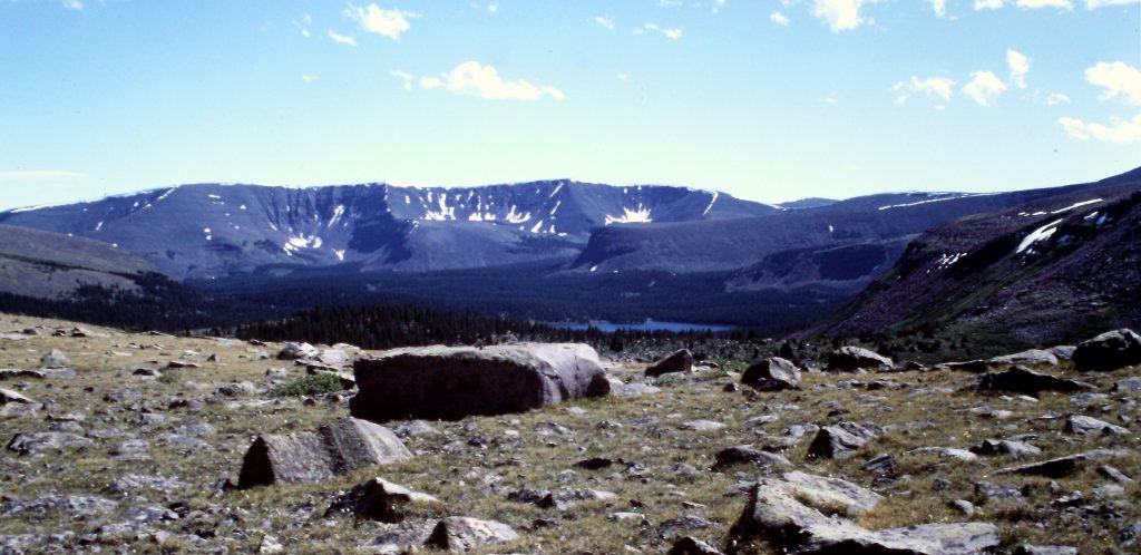
Approaching North Pole Pass. This is Paul Bunyon-size country.
Dana on North Pole Pass.
Fox Lake is a reservoir and was great place to camp with plenty of room. There were a dozen or more people camped at this lake who had hiked in from Uinta Canyon. I suspect on some weekends, Fox Lake gets crowded.
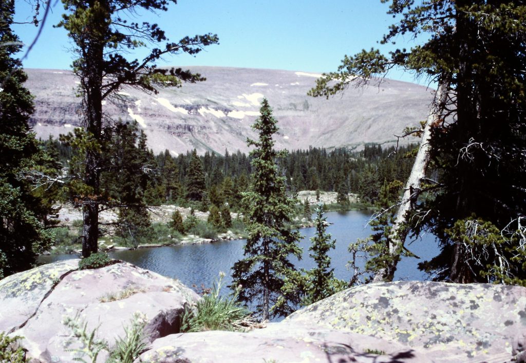
Fox Lake
On Day 2, we hiked 9 miles past Kidney Lakes and set up camp at a small lake just south of Milk Lake at roughly 11,000 feet. There were scattered thunderstorms which mandated that we camp below treeline. The trail was in good shape and meandered up and down, mostly just below treeline. We had this small lake to ourselves.
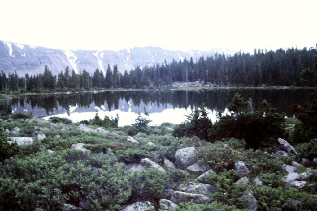
Our 2nd camp was at this unnamed lake which was just south of Milk Lake.
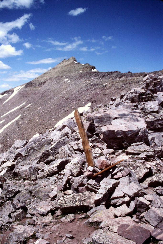
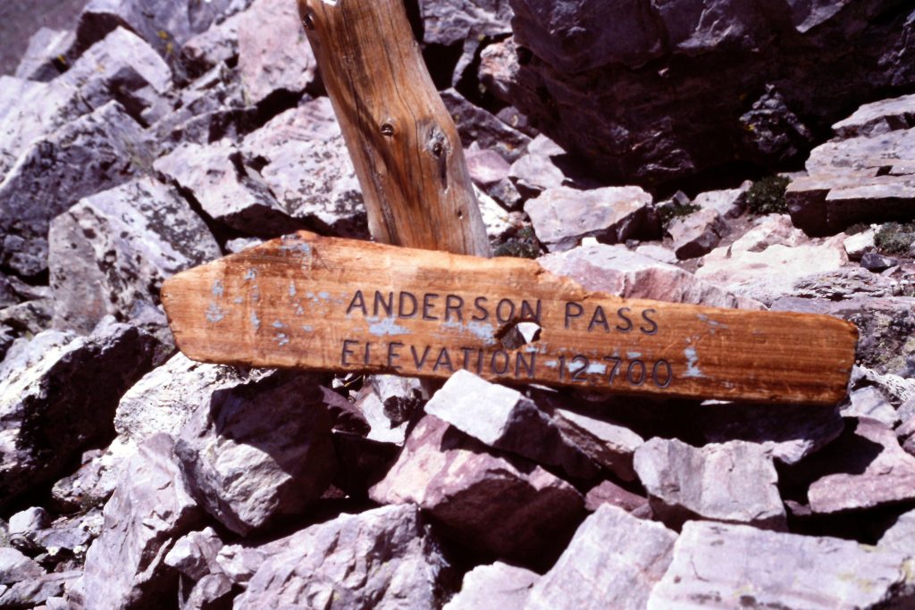
On Day 3, we left early for Kings Peak, taking the trail to 12,400-foot Anderson Pass which crosses Kings Peak’s North Ridge. Once on the pass, we decided to do a shuttle to the summit because our dog’s feet were sore. It was 7 miles to the summit from our camp. We saw our first real concentration of people of the trip as we climbed the Class 2 North Ridge. The ridge was not difficult, with boulder hopping as the crux. After the climb, we trudged the 7 miles back to camp. Our water filter failed that evening but, otherwise, it was a great day with perfect weather.
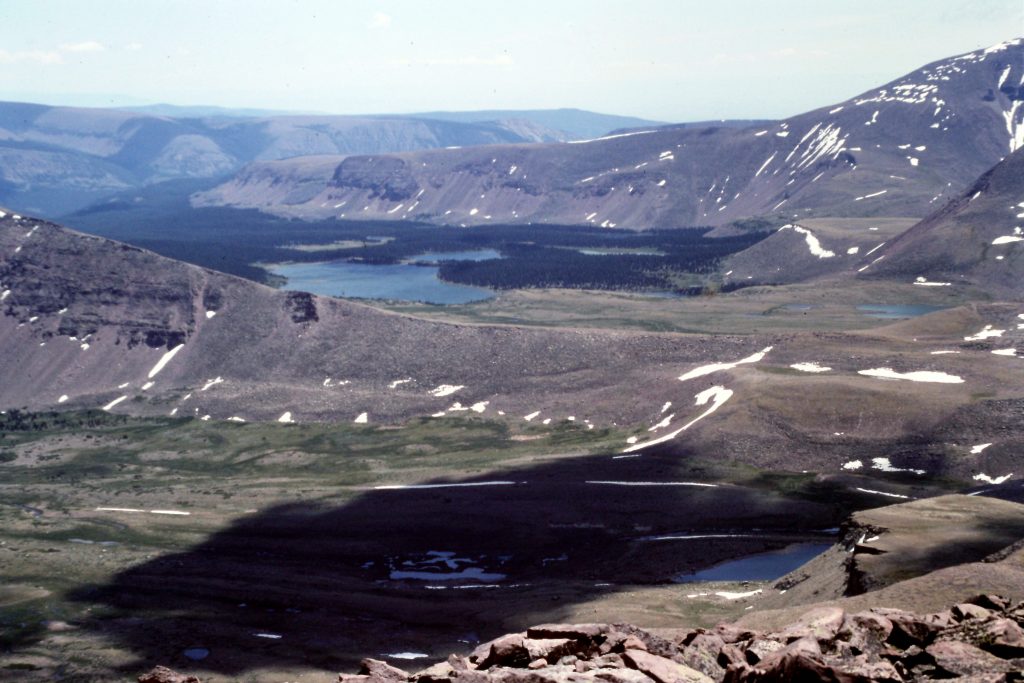
Kings Peak was a nice climb but the most impressive feature we saw on Day 3 was Painter Basin. Boise, Meridian and Eagle would easily fit into this gigantic basin with room to spare–even more impressive when your realize that the basin is mostly above 11,200 feet.
Painter Basin

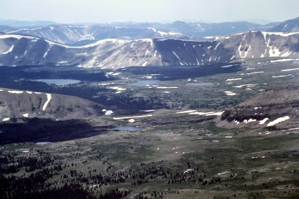
Looking down into Painter Basin from the Highline Trail.
Painter Basin
Kings Peak as viewed from Anderson Pass.
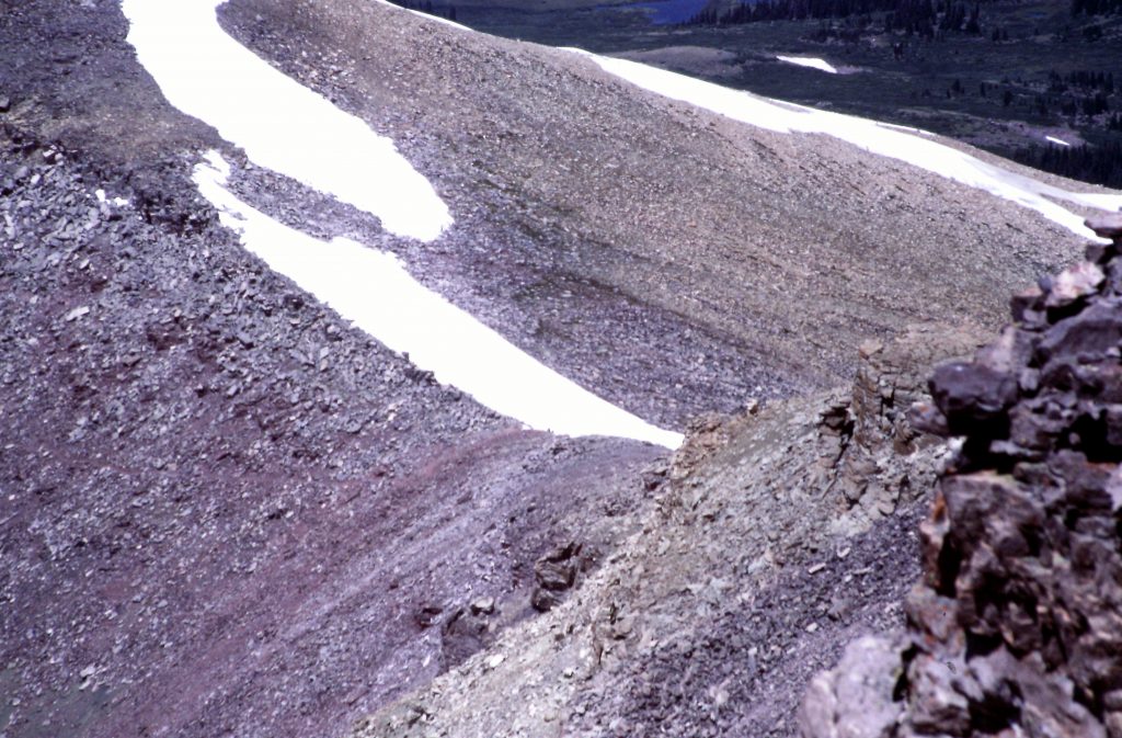
Looking down to Anderson Pass from the North Ridge of Kings Peak.
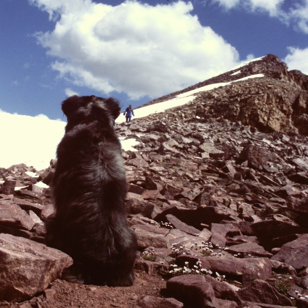
Matilda faithfully waiting for Dana’s safe return.
The summit of Kings Peak.
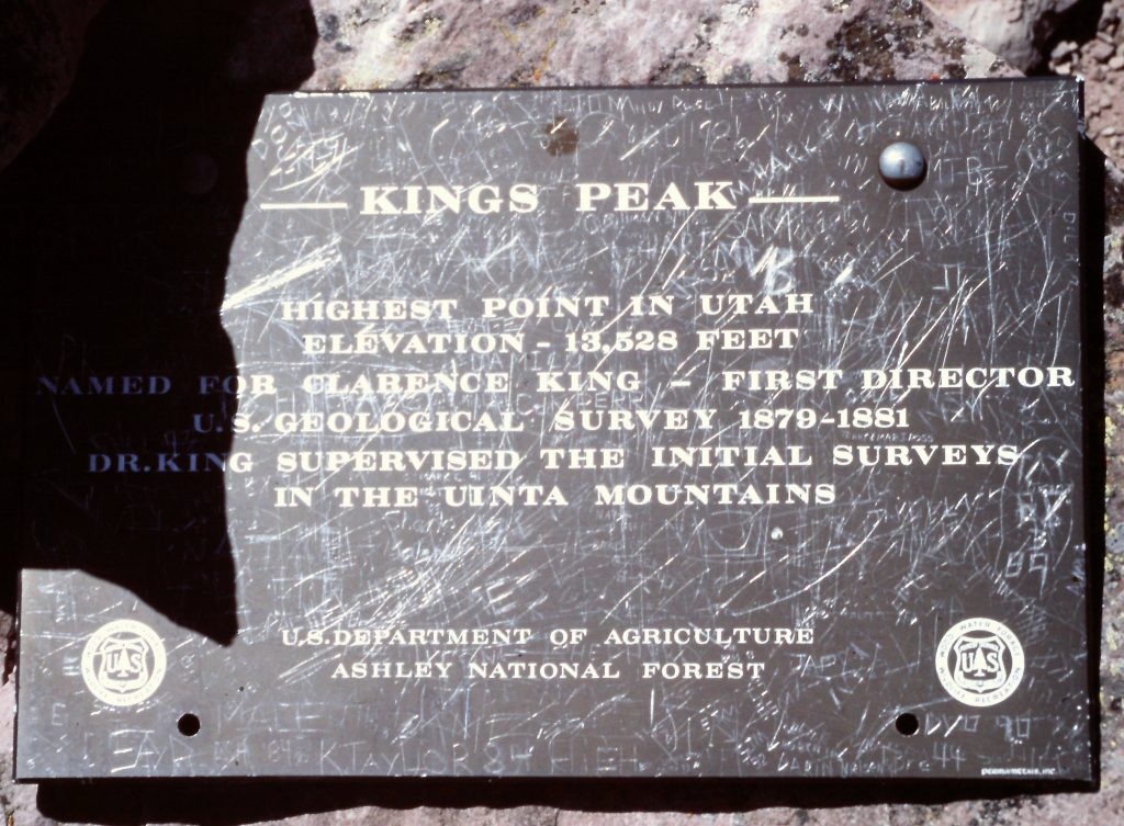
Plaque on the summit.
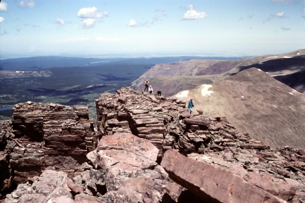
South Kings Peak as viewed from Kings Peak.
Looking west from Anderson Pass toward our starting point.
Looking west from Kings Peak. There are a lot of mountains to explore here.
Day 4 was time to head back. It was 20 miles back to the car. We broke this into 2 days, hiking 9 miles to Fox Lake on the first day. We found our prior campsite occupied but easily found another campsite. On our last day, we hiked back to the trailhead via 11,600-foot Fox/Queen Pass which made for an 11-mile walk.
The High Uintas are popular and, I suspect, more crowded today than during our 1993 trip. The high country offers many lakes for camping. There are many big peaks spread out along the Highline Trail. I recommend taking at least 7 days to explore this fascinating country.
Next: A Walk Around North Palisade