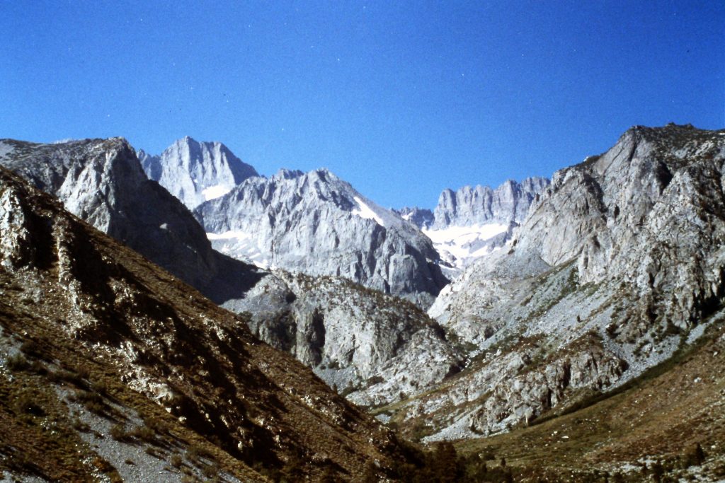
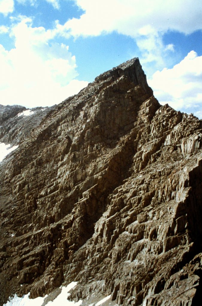
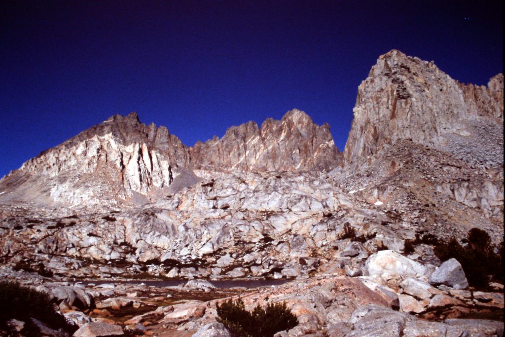
North Palisade as viewed from Mount Sill.
North Palisade is a 14,242-foot summit located on the Sierra Nevada Crest west of Big Pine, California. It sits at the center of an impressive group of Sierra peaks including Temple Crag, Clyde Peak, Middle Palisade, Mount Sill and Split Mountain. Visiting this area was high on my list for many years and I finally got there in 1993.
The Sierra Nevada (John Muir’s “Ranges of Light”) has long owned my heart. The range is so beautiful that it is a magnet for mountain lovers which means it is quite popular and often crowded. But if you know where to go, you can have spectacular terrain all to yourself.
Given the crowded nature of the Sierra Nevada, I usually plan my trips to the range for September when the crowds are mostly gone. I also plan trips to avoid trails as much as possible to further insulate me from crowds of backpackers. This trip was no exception. I planned a loop that started with a trail to Second Lake in the North Fork Big Creek drainage and then would strike out cross-country over five trail-less passes and eventually bring us back to Big Creek. Along the way, we would cross the Sierra Nevada Crest twice and stroll through a remote part of Kings Canyon National Park. While the weather is colder on these high peaks in September, it is usually dry and sunny. On this journey, I was accompanied by Dana Hanson and Gary Quigley.
On September 2nd, we drove to the trailhead in the North Fork of Big Pine Creek (7,600 feet) and hiked 5 miles to Second Lake (10,000 feet). This trail sees a lot of use during the Summer but was not crowded today. Second Lake sits below spectacular Temple Crag. It is a peak that I attempted and failed to climb in 1978.
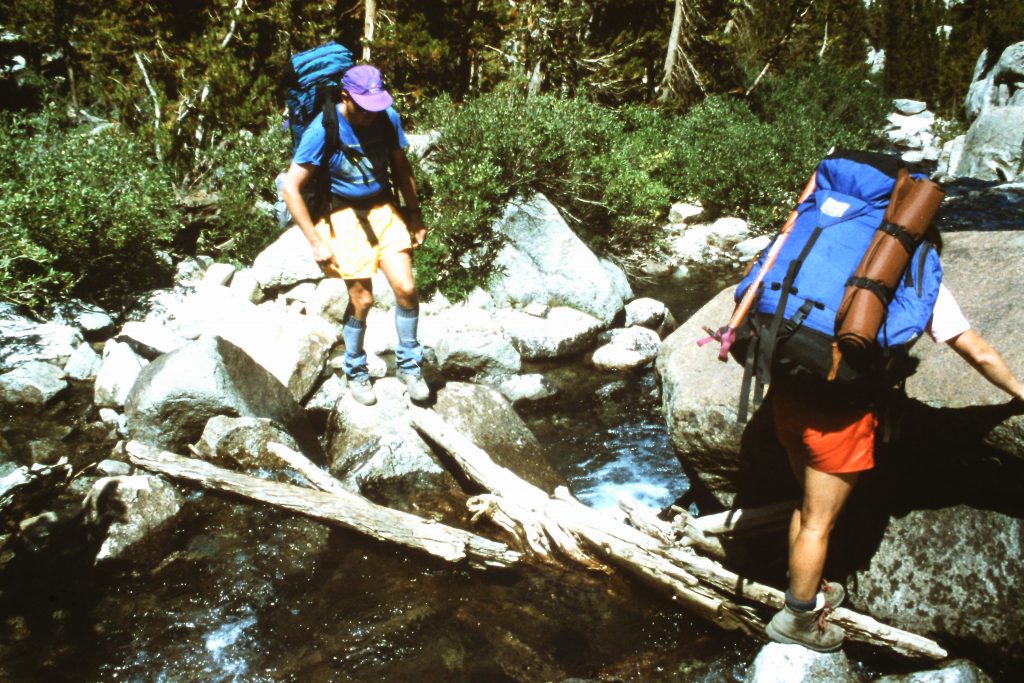
Gary and Dana crossing Big Pine Creek.
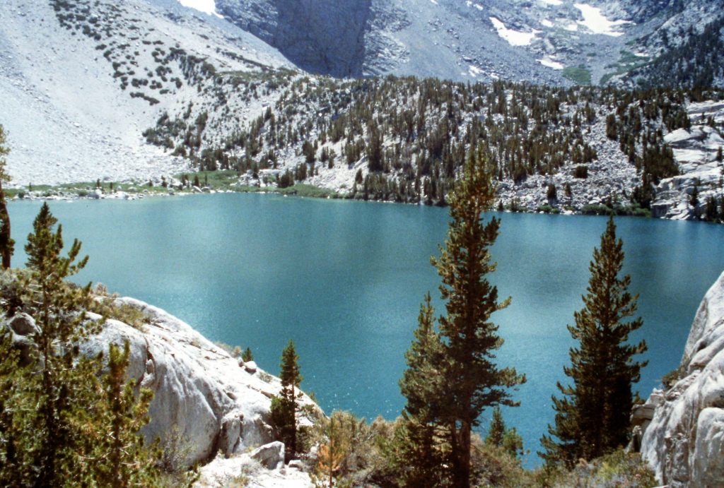
The first lake up Big Pine Creek.
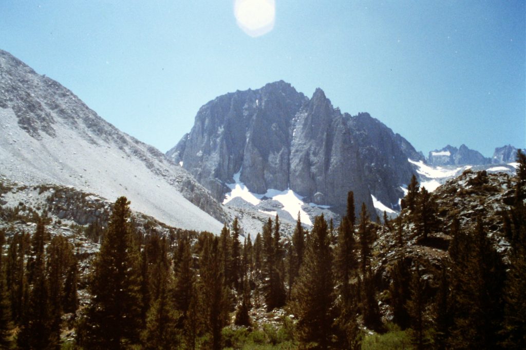
Temple Crag
Looking up the South Fork Big Pine Creek.
On September 3rd, we left Second Lake and hiked cross-country south to Contact Pass (11,760 feet). On the pass, we attempted to find an alleged Class 3 crack that, according to the guidebook, led to easier slopes above the pass and then to the summit of Temple Crag. We were unsuccessful in locating anything that was less than Class 5. After an hour or so of searching up and down the walls above the pass, we loaded up and continued south to an unnamed lake just below Contact Pass. We set up camp at this lake. We walked just a bit more than 2 miles today. This short day was designed to allow us to acclimatize.
Contact Pass
Climbing up Contact Pass.
Mount Sill and Mount Gayley as viewed from our 2nd campsite.
On September 4th, we climbed Mount Gayley (13,510 feet) from our camp via the peak’s Southwest Ridge (Class 3). Mount Gayley sits southwest of Temple Crag and was a nice consolation prize. We used the remainder of the day to rest up for the next day, which would be the hardest day of the trip.
Starting up Mount Gayley.
Farther up Mount Gayley.
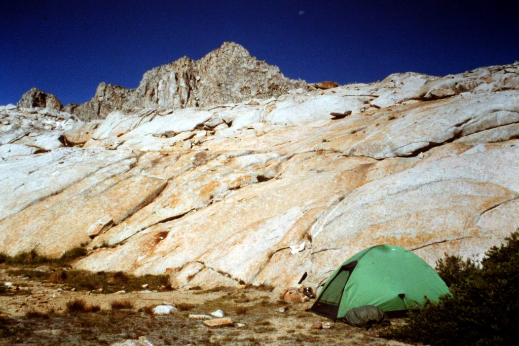
The small lake where we camped.
On the Southwest Ridge of Mount Gayley.
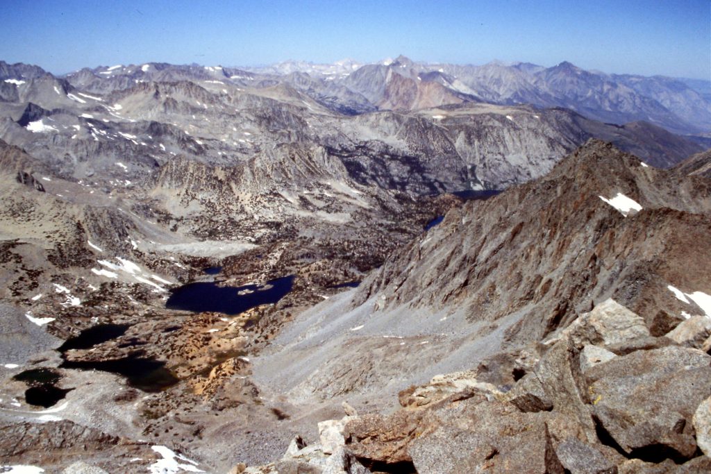
Palisade Glacier as viewed from Mount Gayley.
Temple Crag as viewed from Mount Gayley. Is there really a Class 3 route?
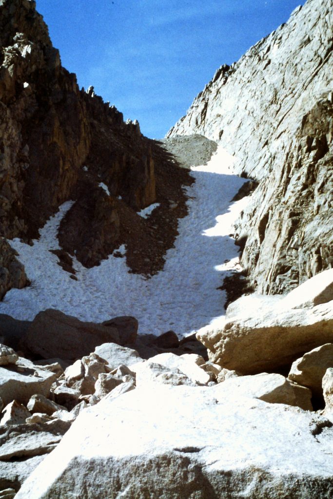
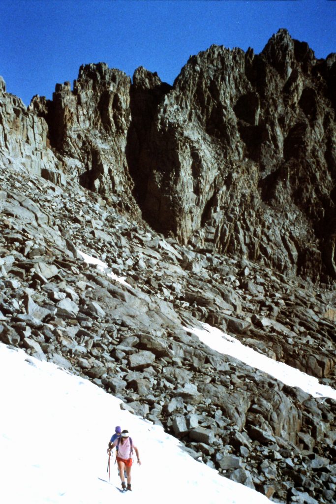
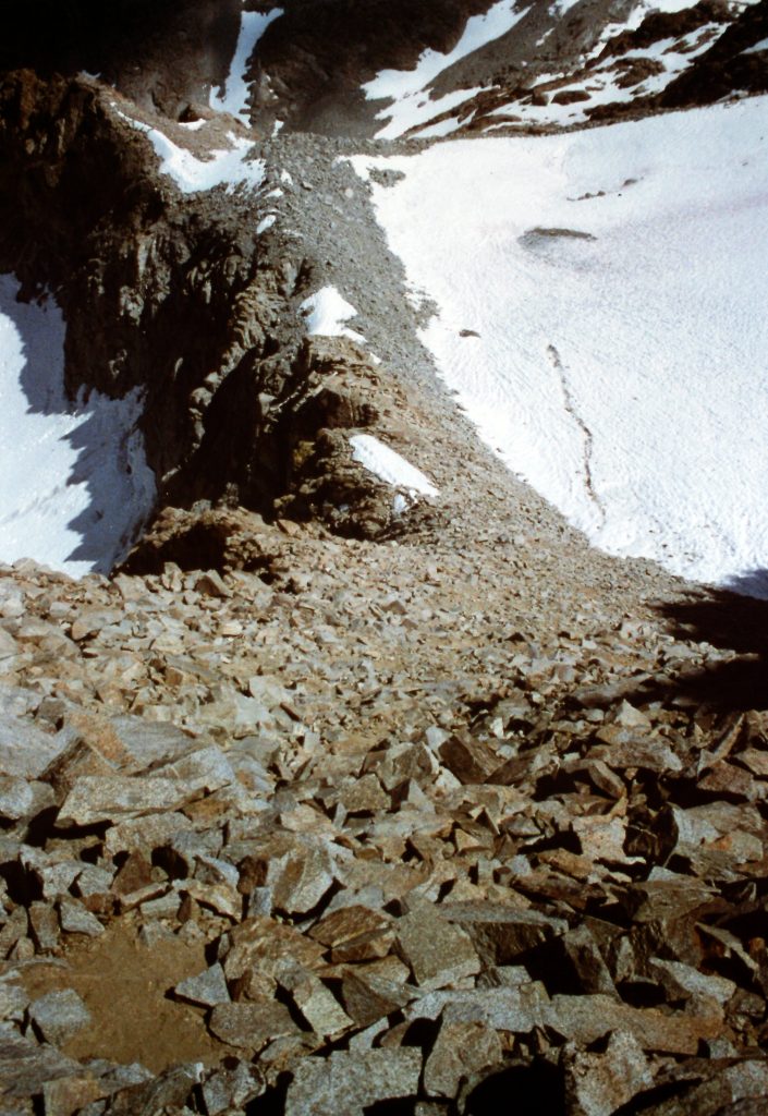
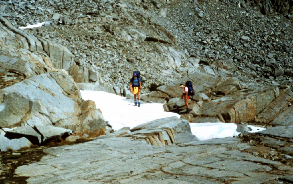
The next day (September 5th), we set out to cross the Sierra Nevada Crest. This entailed crossing Scimitar Pass. I should note that this pass is not really a pass. It is actually a ridge crossing at over 13,400 feet. Our route took us from our camp to Elinore Lake across big, loose talus. From Elinore Lake, we followed an angled route toward the Crest, avoiding a large snowfield along the way. Once on the Crest, we marveled at the view and hiked down to an unnamed lake at 11,627 feet in the upper Glacier Creek Basin. We were now in Kings Canyon National Park. The ridge crossing was Class 3. After lunch, we climbed Mount Jepson (13,390 feet) from the lake via its South Ridge. This Class 2 ascent was much easier than crossing Scimitar Pass. We covered 3.8 miles today.
Starting the climb to Scimitar Pass.
Above Lake Elinore.
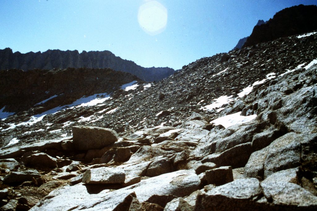
An area with decent footing below Scimitar Pass.
Almost on top.
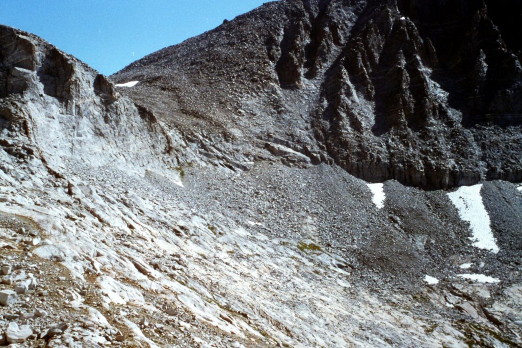
West of the Sierra Nevada Crest looking back at Scimitar Pass.
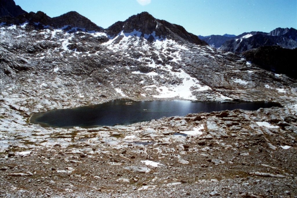
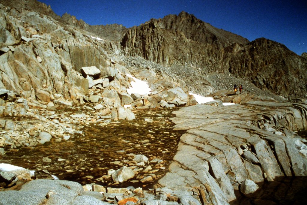
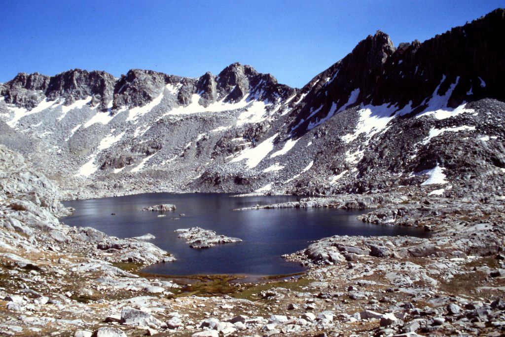
Lake 11762 where we camped.
Our camp at Lake 11762.
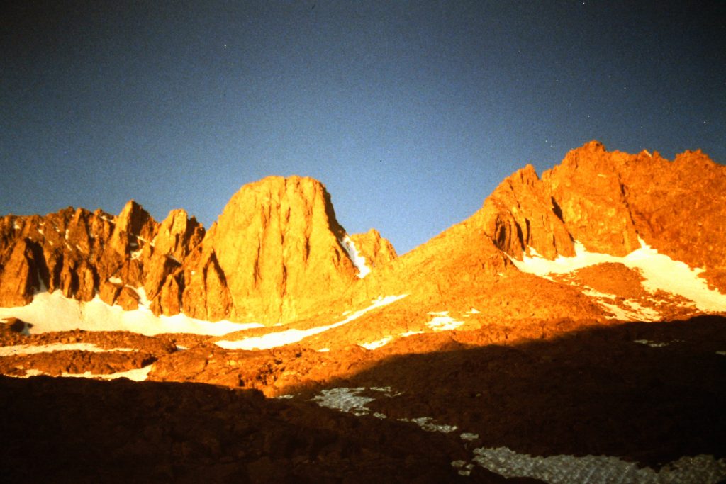
On September 6th, we climbed Mount Sill (14,124 feet) via the South Face which was Class 3 with one exposed notch along the way. We covered 3.6 miles round trip.
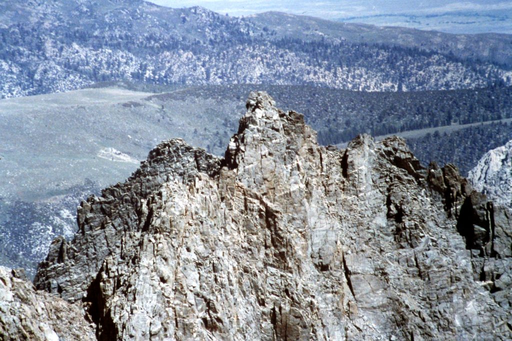
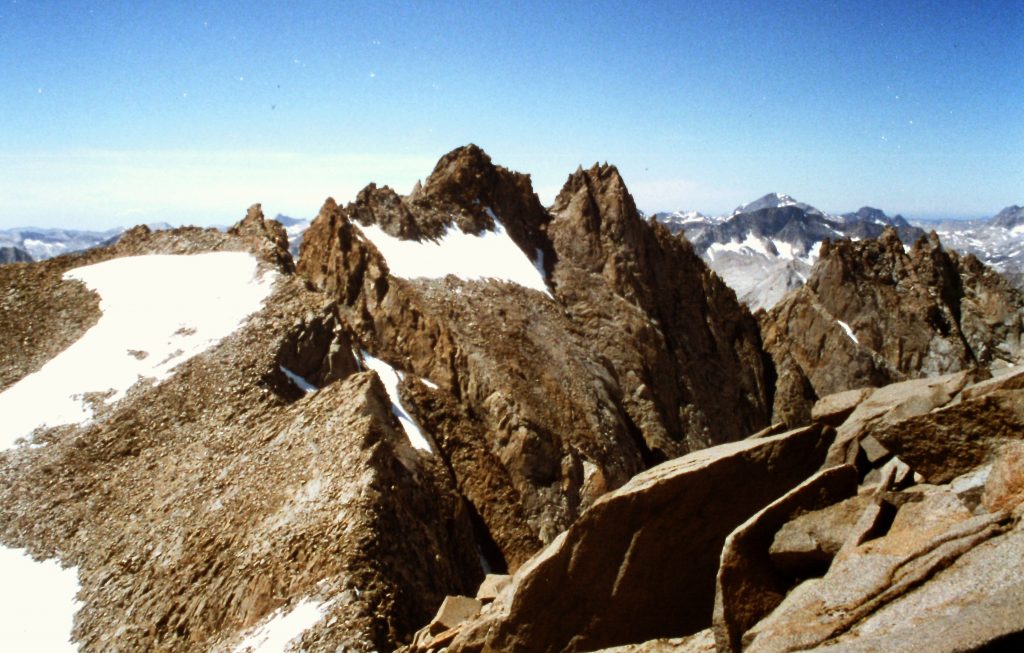
Mount Sill
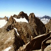
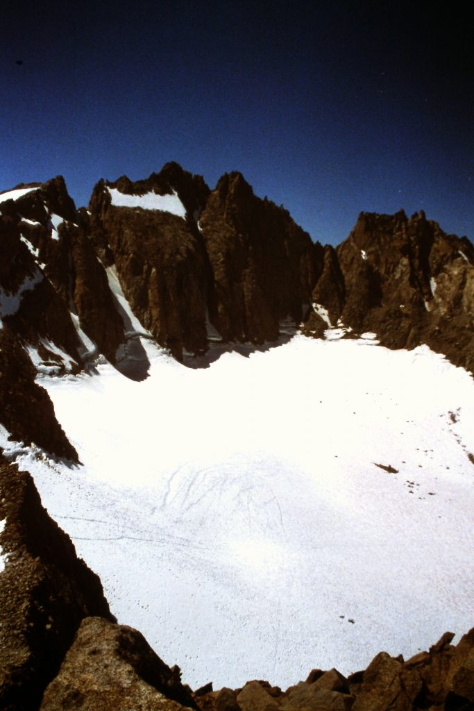
North Palisade as viewed from Mount Sill.
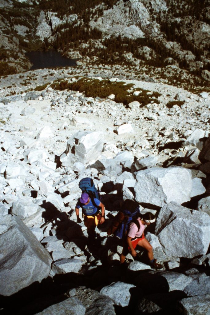
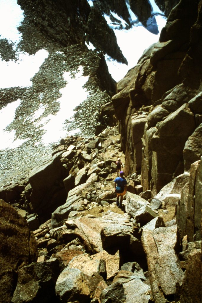
September 7th saw us on the move again. We left our camp at the unnamed lake and headed cross-country toward Dusy Basin via Palisades Basin, Barret Lakes and Potluck Pass. After crossing Scimitar Pass, Potluck Pass (12,120 feet) was easy. After lunch below North Palisade, we continued north and crossed over Knapsack Pass (11,673 feet) and then set up camp in Dusy Basin. Both of these passes were Class 2 endeavors. We hiked 4.5 miles today.
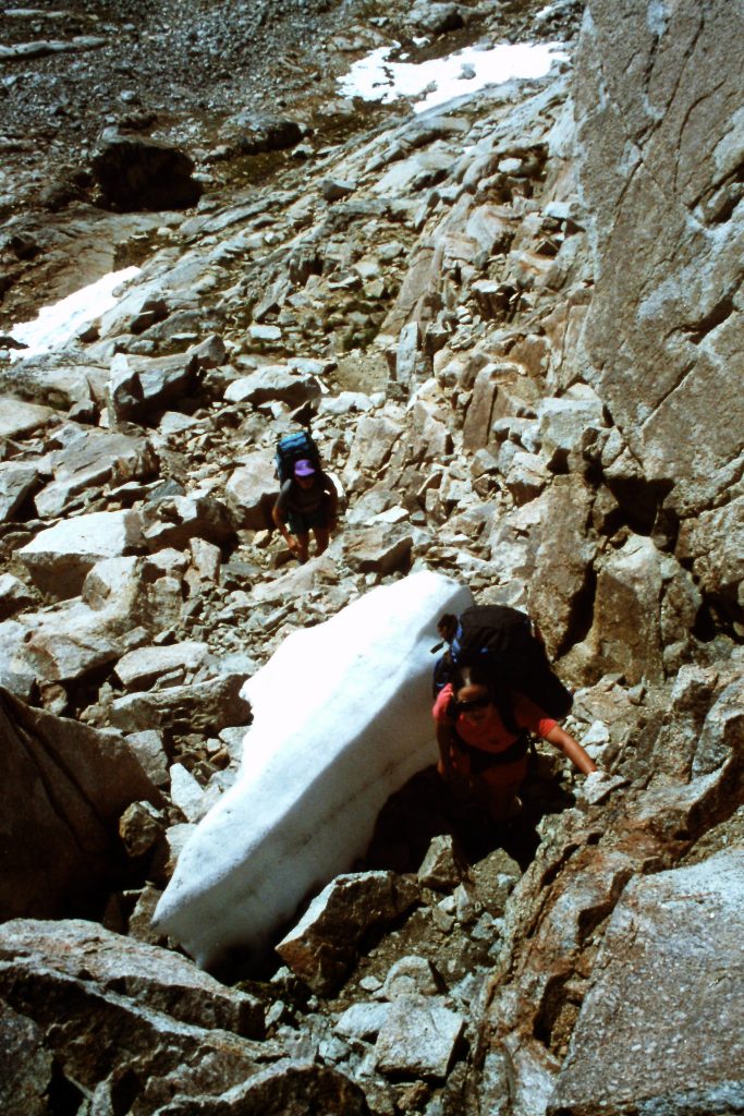
Climbing up Potluck Pass. The guidebooks call it Class 2. It seemed a bit harder to me.
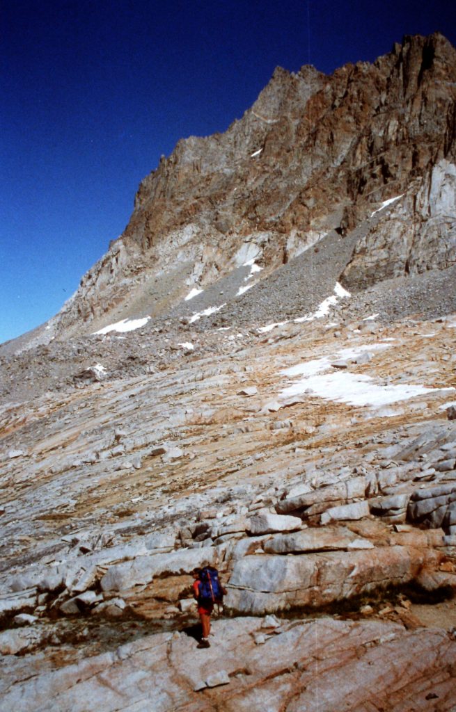
Descending down Potluck Pass below North Palisade.
Looking toward Knapsack Pass.
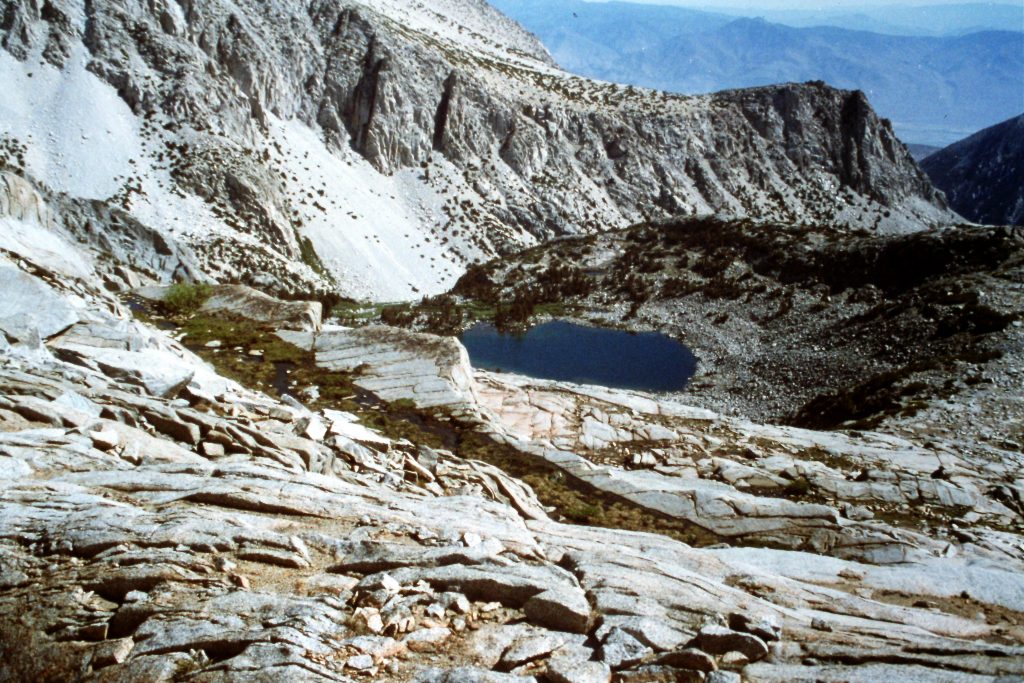
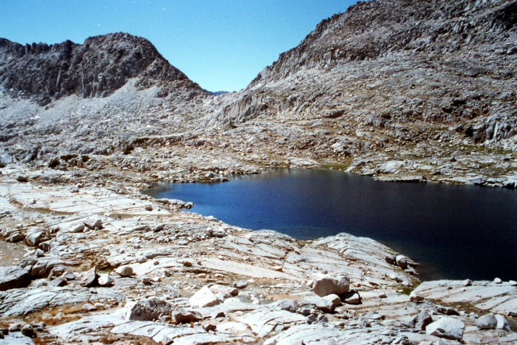
The lakes in lower Dusy Basin.
The uppermost Dusy Basin lake.
On September 8th, we climbed Mount Agassiz (13,893 feet) from Bishop Pass and then returned to our camp. This climb was 5.0 miles round trip.
Mount Agassiz is on the left.
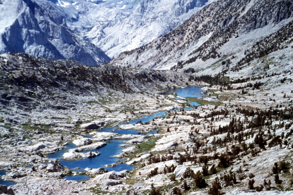
Our original plan was to cross Bishop Pass via the trail and then strike out cross-country to go over Jigsaw Pass. From Jigsaw Pass, we could drop into the North Fork of Big Creek and hike directly back to our vehicle. However, on September 9th, this plan was not looking rosy. After we crossed Bishop Pass (11,872 feet) and got a look at the rugged and trail-less Jigsaw Pass, we decided on a new plan. The new plan was to follow the trail out to Bishop Creek and then hitchhike back to the car. I was unceremoniously picked to do the hitchhiking. Dusy Basin to South Lake via Bishop Pass was an 8.0 mile jaunt.
I managed to strike up a conversation with a hiker on the way down the mountain and he agreed to drive me to our car. Our total mileage for the trip was 32 miles of which 18 miles were trail-less.
Looking down to Bishop Lakes and the end of the trail.
Next: Grand Gulch Backpack