I first visited Death Valley National Park (actually it was only a National Monument at the time) in 1978. During that trip, I climbed Telescope Peak, the highest summit in the Park. I found the Park’s stark desert mountains compelling. In 2014, Laurie and I spent a few November days in the Park and climbed 3 peaks by Dante’s View as well as exploring Titus Canyon and several other attractions. After that visit, I decided that it was time to go back and do some serious peakbagging. I managed to convince John Platt to accompany me–not a hard sell. We left Boise early on February 21st and made the 10-hour drive to the Mesquite Springs Campground. Although November temperatures can exceed 90 degrees, we had blustery conditions that evening. See John’s extensive trip report.
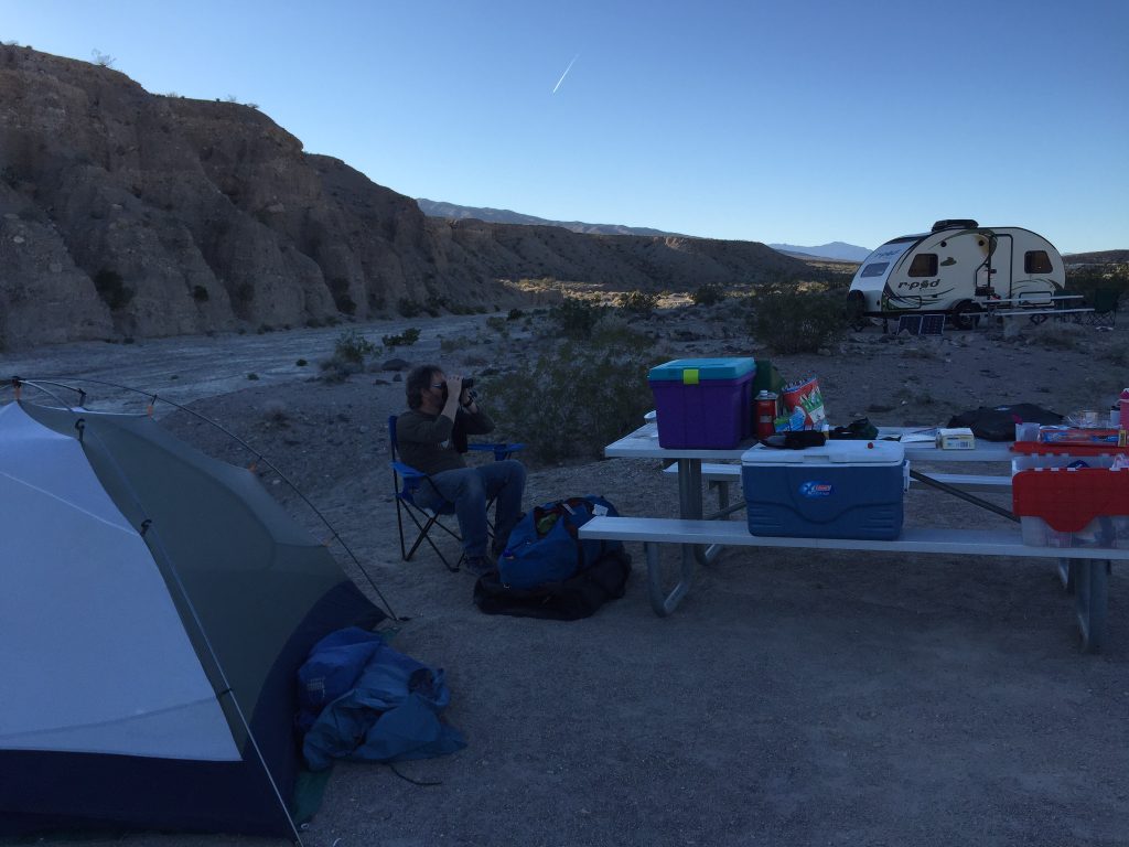
Our camp at Mesquite Springs.
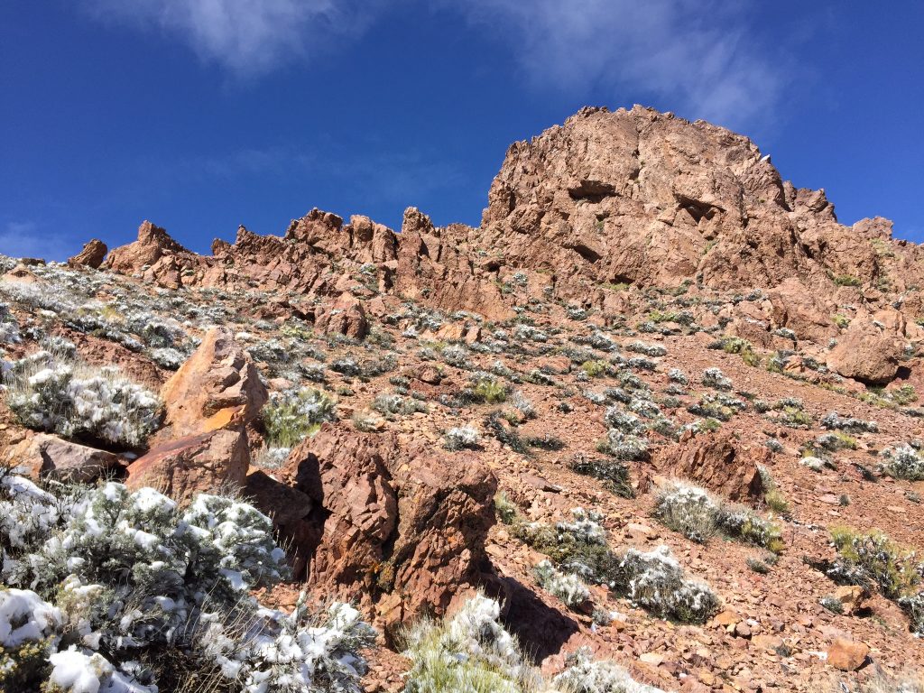
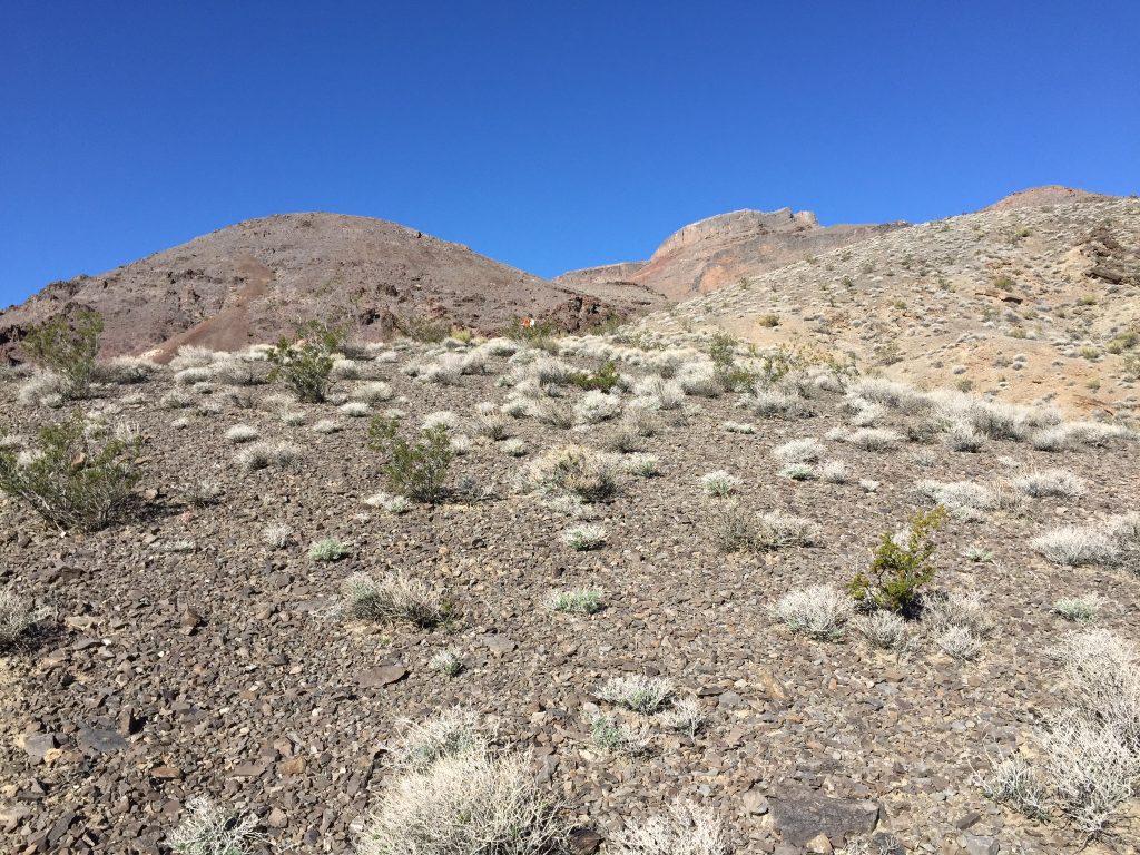
The next morning was a Sunday and we planned to spend it exploring this great desert cathedral. We left camp and drove north on the gravel Big Pine Road to kitschy Crankshaft Junction. We turned left at Crankshaft Junction and drove to the pass north of Sandy Peak (7,062 feet).
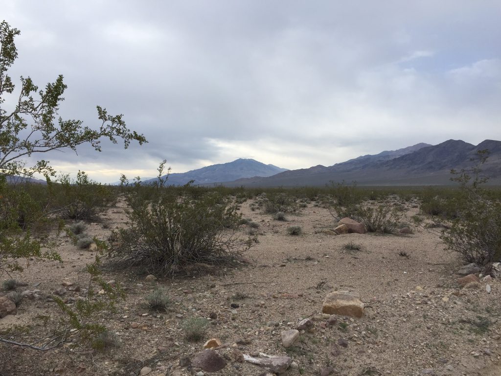
On the way to Sandy Peak.
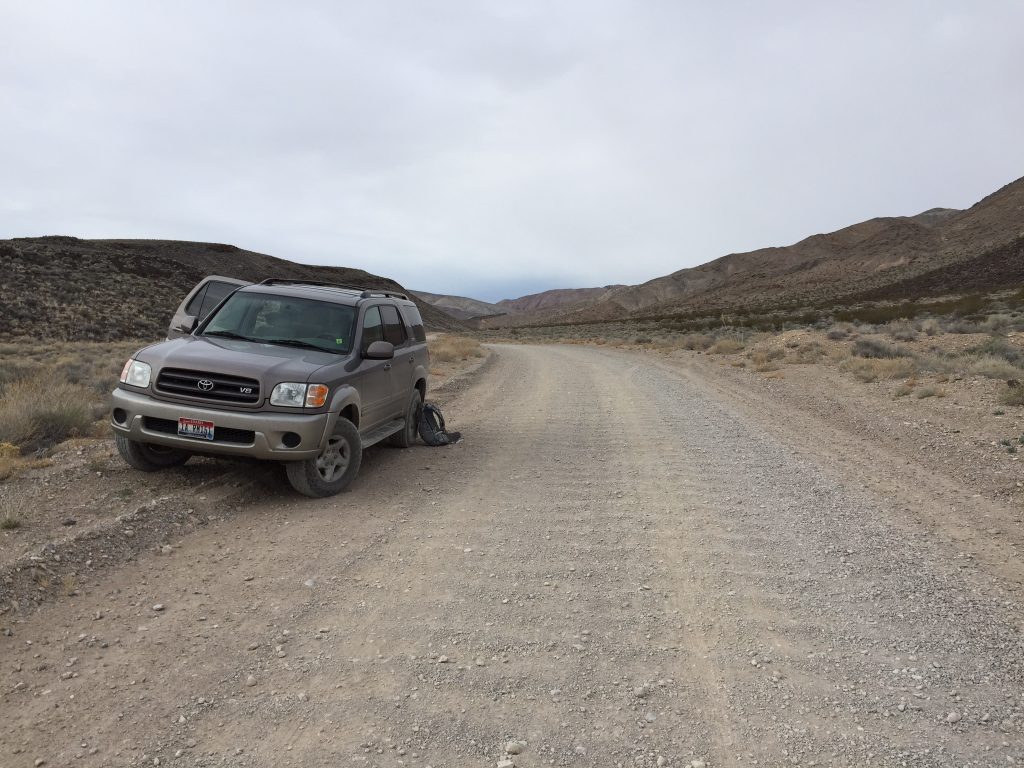
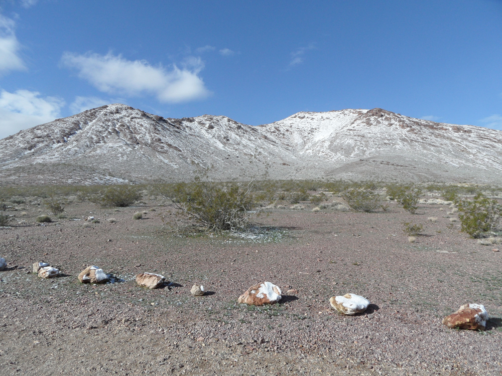
Our starting point for Sandy Peak.
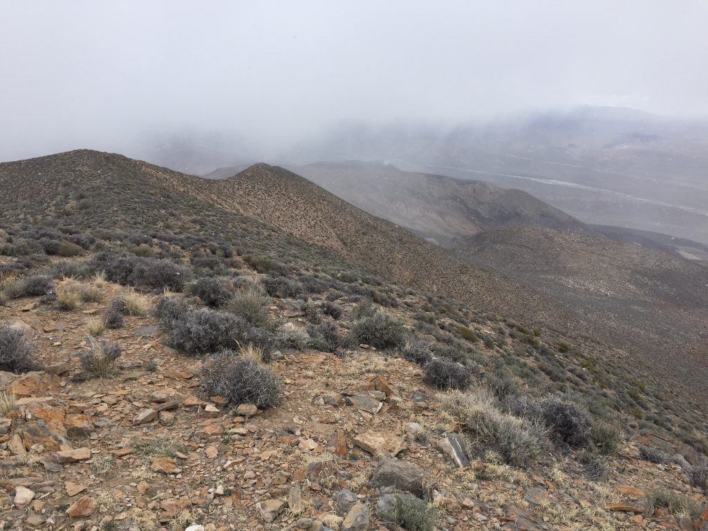
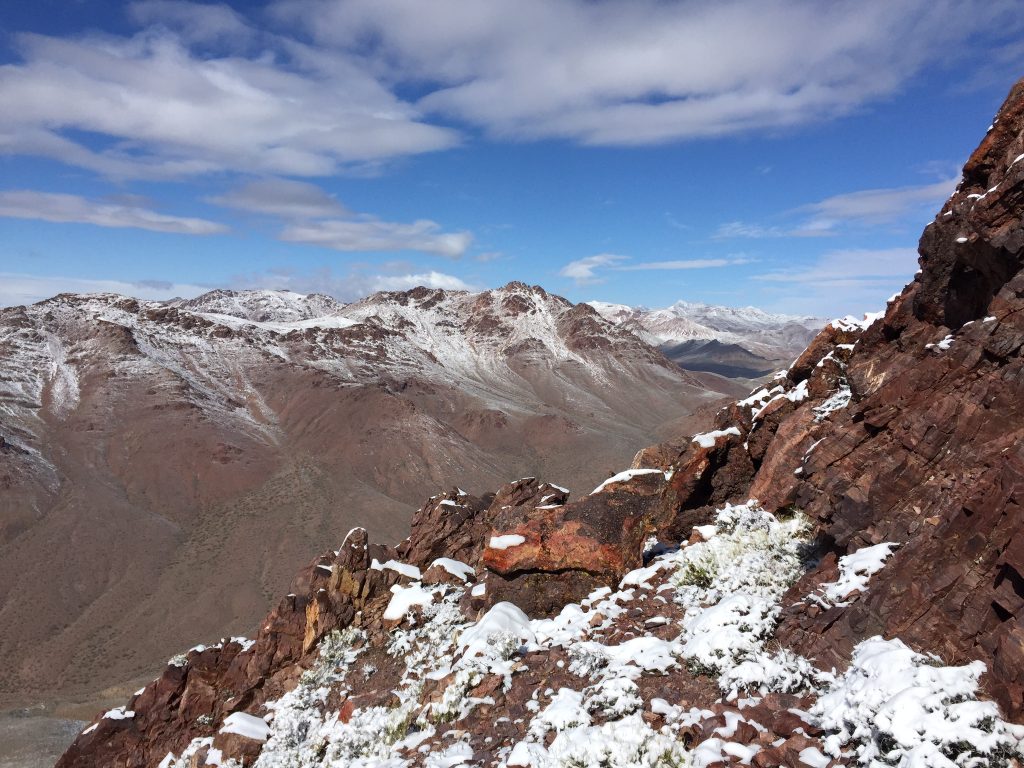
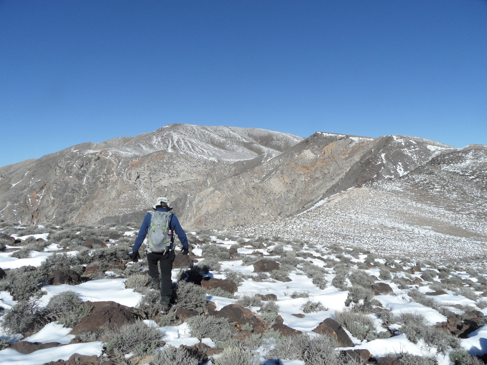
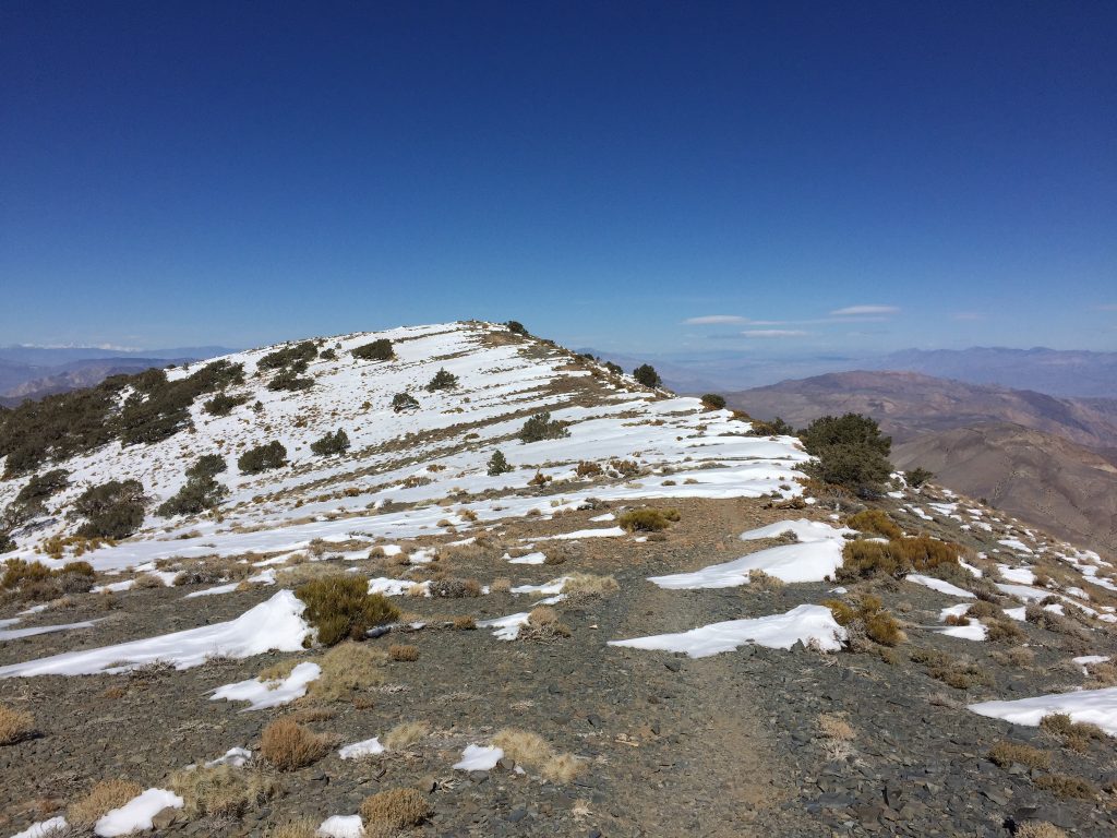
From the pass, our route crossed a sagebrush-littered plain to a canyon. After climbing and exiting the canyon, we reached a long ridge leading to the summit. At times there was a game trail we could follow. We stayed on the ridge crest, reaching the summit in roughly 6 miles as snow flurries and wind buffeted us. The low clouds killed the super views we had hoped to experience.
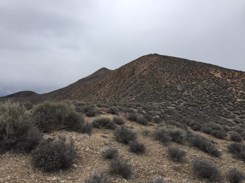
Sandy Peak is in the distance.
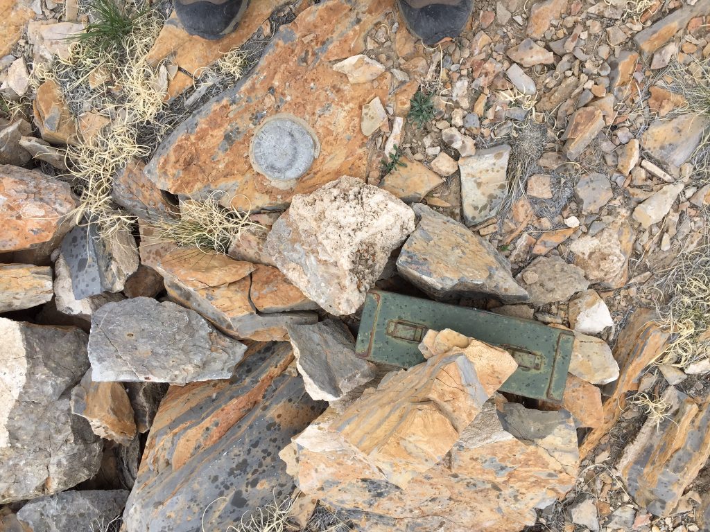
The summit benchmark.
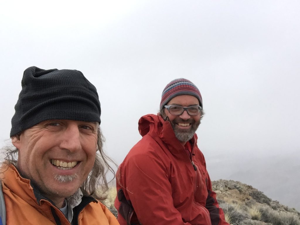
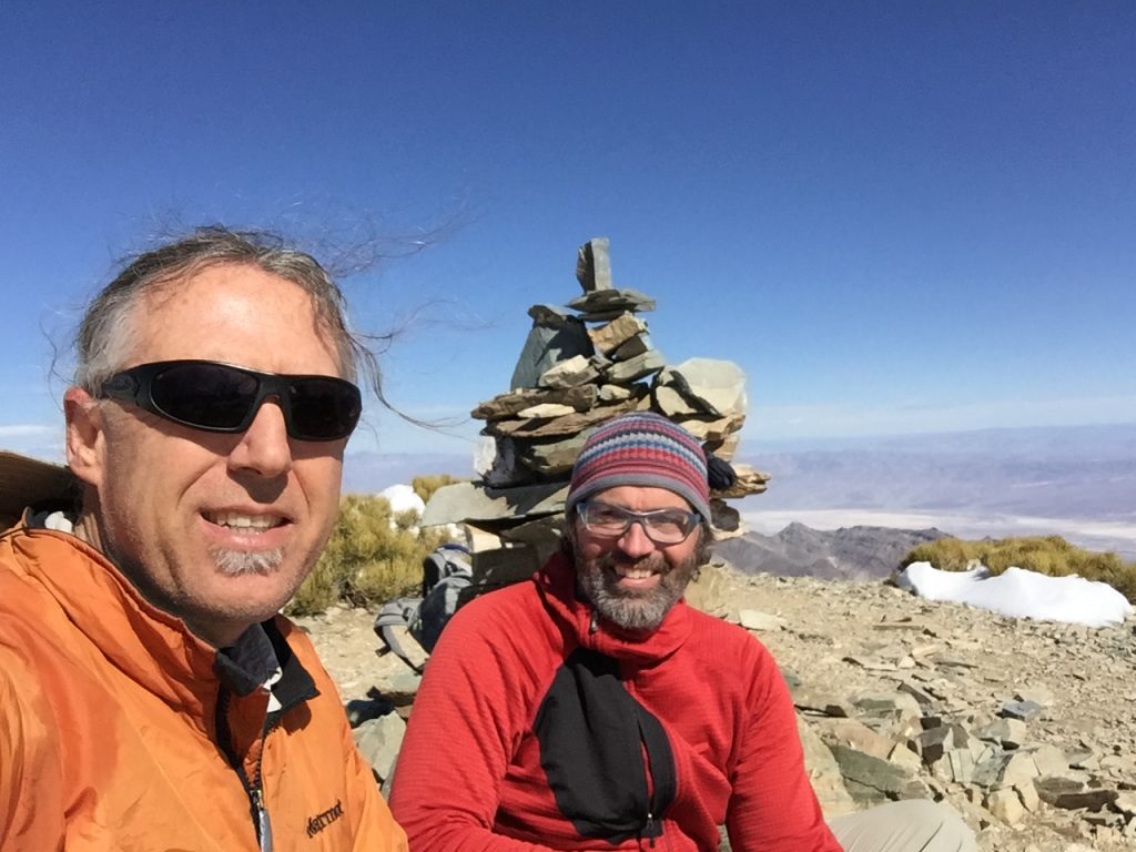
Happy to be here
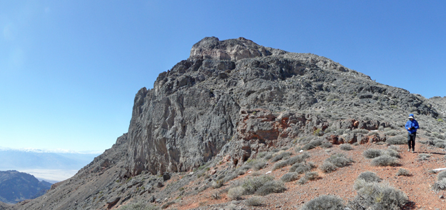
After returning to camp, it started to really rain and blow. I spent the afternoon reading in the truck and we ate a cold dinner because it was too miserable to cook outside. It was not the warm weather we expected but still better than Boise weather.The next morning packed up and drove to Daylight Pass to climb Daylight Peak (5,549 feet). Our route climbed up steep talus slopes through fresh snow to the summit ridge. The summit block was Class 3. The weather was warming up as we headed to our 2nd peak, Daylight Castle (6,075 feet).
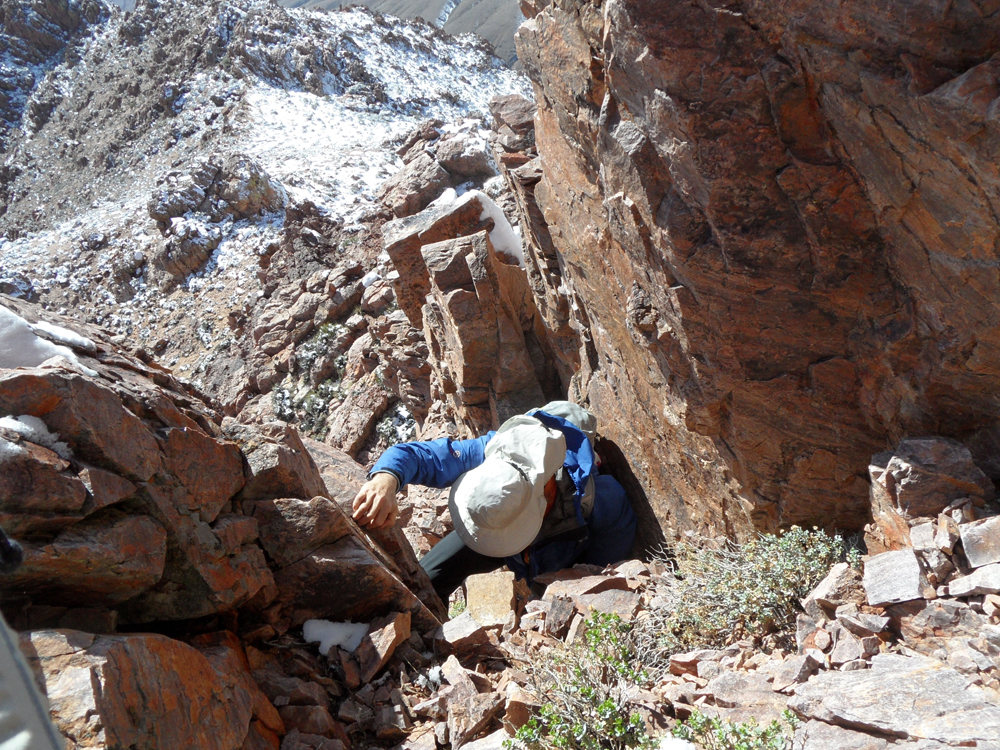
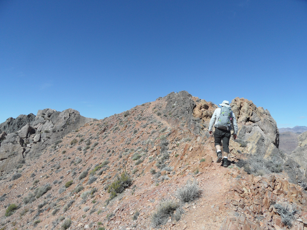
We dropped down Daylight Peak’s North Ridge to the saddle connecting the 2 peaks and then proceeded up Daylight Castle’s South Ridge until we ran into cliffs that we skirted to our left. Upon reaching the summit ridge, it took a while to figure out which tower was highest. John decided to try the tower to our left. We worked around its base and spotted a climbable chimney which was Class 3+ or Class 4.
A cold start to Day 2.
Daylight Peak as viewed from Daylight Pass. John Platt Photo
Daylight Peak and Daylight Castle were Class 2 climbs until reaching their summit blocks.
The summit block of Daylight Castle.
Climbing the summit block on Daylight Castle. John Platt Photo
We decided to spend the night in Beatty, Nevada since John “needed a WiFi connection to keep my employers happy.” I don’t think John enjoyed Beatty but the old mining town is a “gem” (pun intended) in my book. We had beer and steak at the Sourdough Saloon, a great rustic bar with a lot of character and even a few customers.
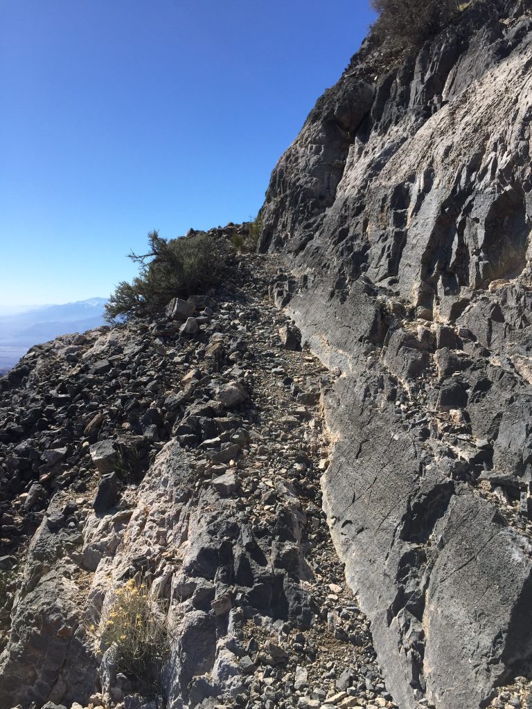
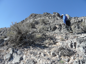
On February 24th, our goal was Thimble Peak (6,331 feet). Thimble is a enticing peak. The best access is from the Titus Canyon Road, a popular one-way, 4WD road. To reach the peak from Beatty, we turned off the highway at a well-signed intersection with not only a sign for Titus Canyon but also a few dire warning signs. We followed the road into the mountains to Red Pass at the head of Titus Canyon and parked. A good climber’s trail leaves the pass, climbing steeply.
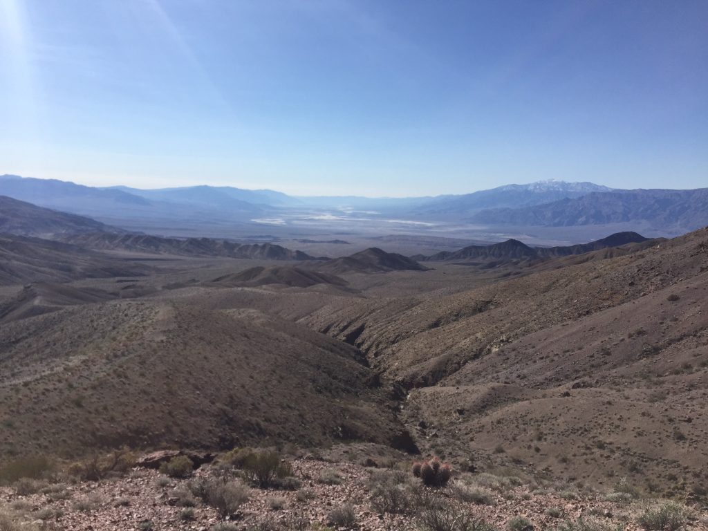
The first peak on the route was Peak 6108. From this peak, the trail descends 400 feet to the saddle below Thimble Peak. From our vantage point, Thimble looked potentially dicey even though it is rated as a Class 1 hike. The trail actually goes all the way to the summit, climbing a couple of steps along the way. The views ranged from the lowest point on the continent (Badwater) to Mount Whitney which John’s GPS told us was 50 miles to the west. When we returned to the car, it was 65°, perfect for a picnic lunch with a nice view. After lunch, we drove down into Titus Canyon. The road was in good shape and the terrain was overpowering.
Thimble Peak
The trail followed limestone shelves up the summit block.
The footing was good all the way.
Almost there.
We drove down to Stove Pipe Wells for more food and, more importantly, beer. We then took a short hike up Marble Canyon before heading to our evening campsite at Emigrant Campground, a gravel parking lot of a campground next to the highway with expansive views.
The next morning we were up early driving to Towne Pass, the starting point for a climb of Towne Peak (7,238 feet). Our route to the peak followed a broad, wandering ridge to the summit. The hike was 8 miles round trip with plenty of ups and downs over several false summits. The false summits undoubtedly made the walk seem a lot longer. Along the way, we spotted an ancient airplane crash on a subsidiary ridge. After the climb, we returned to Stovepipe Wells for lunch and beer. After lunch, we drove to Wildrose Campground in the Panamint Range. We set up camp in another campground resembling a gravel parking lot but situated in a beautiful canyon.
Following the ridge north to Towne Peak. John Platt Photo
Our goal for February 26th was Wildrose Peak (9,064 feet), the highest peak on our agenda. In the morning, we drove farther west into the range to the trailhead at a set of charcoal kilns. Snowline was just above the kilns. We followed footprints through the snow for a couple of miles. The snow got deeper from this point as the trail worked its way through a pinyon pine forest and then moved above treeline to the summit after 4.5 miles. The view from the top included the Furnace Creek Resort, more than 9,000 vertical feet below us.
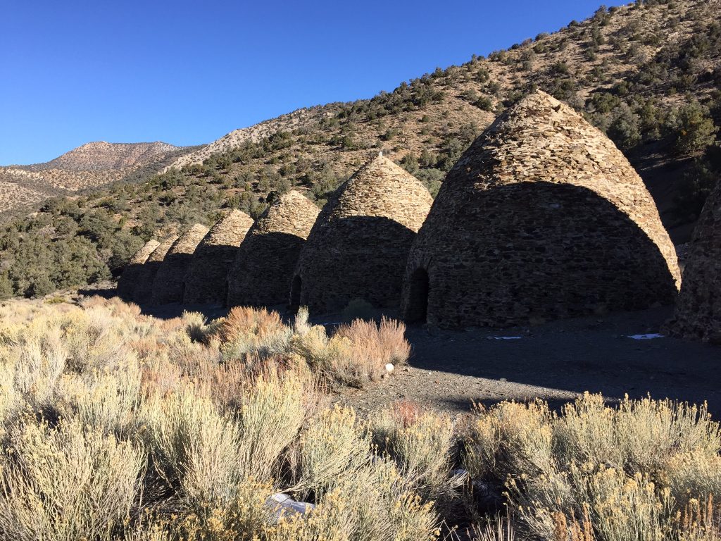
The charcoal kilns mark the start of the Wildrose Peak Trail.
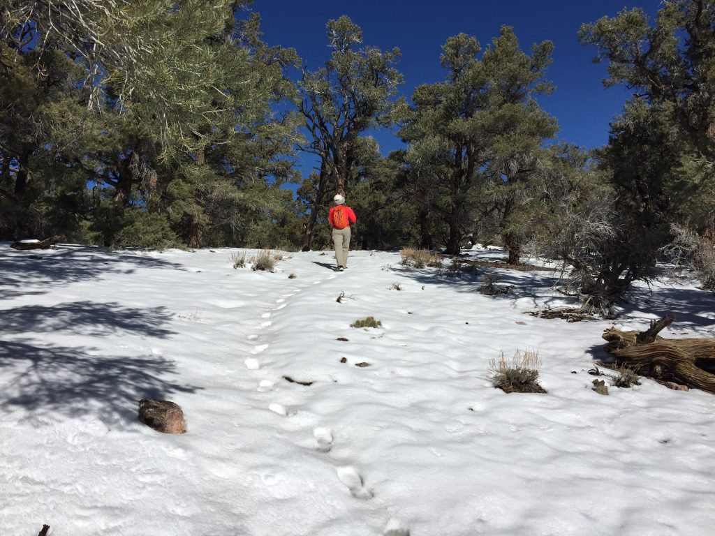
The snow was never more than a foot deep.
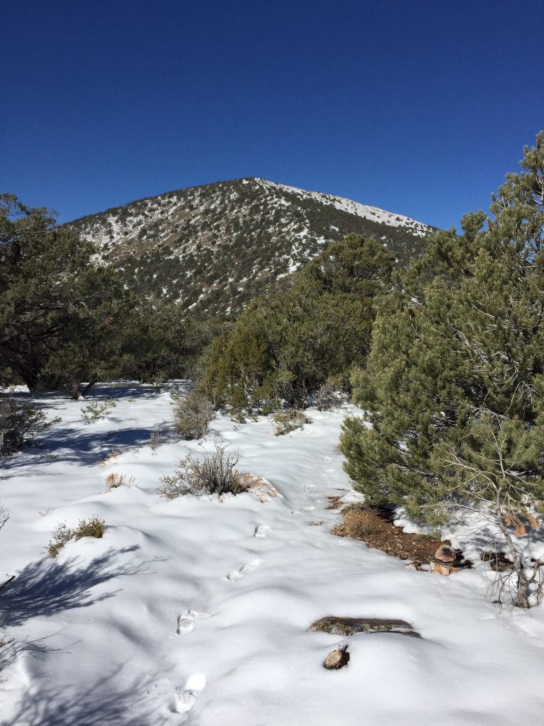
Our first view of the top.
The final steps to the top.
This sure beats working.
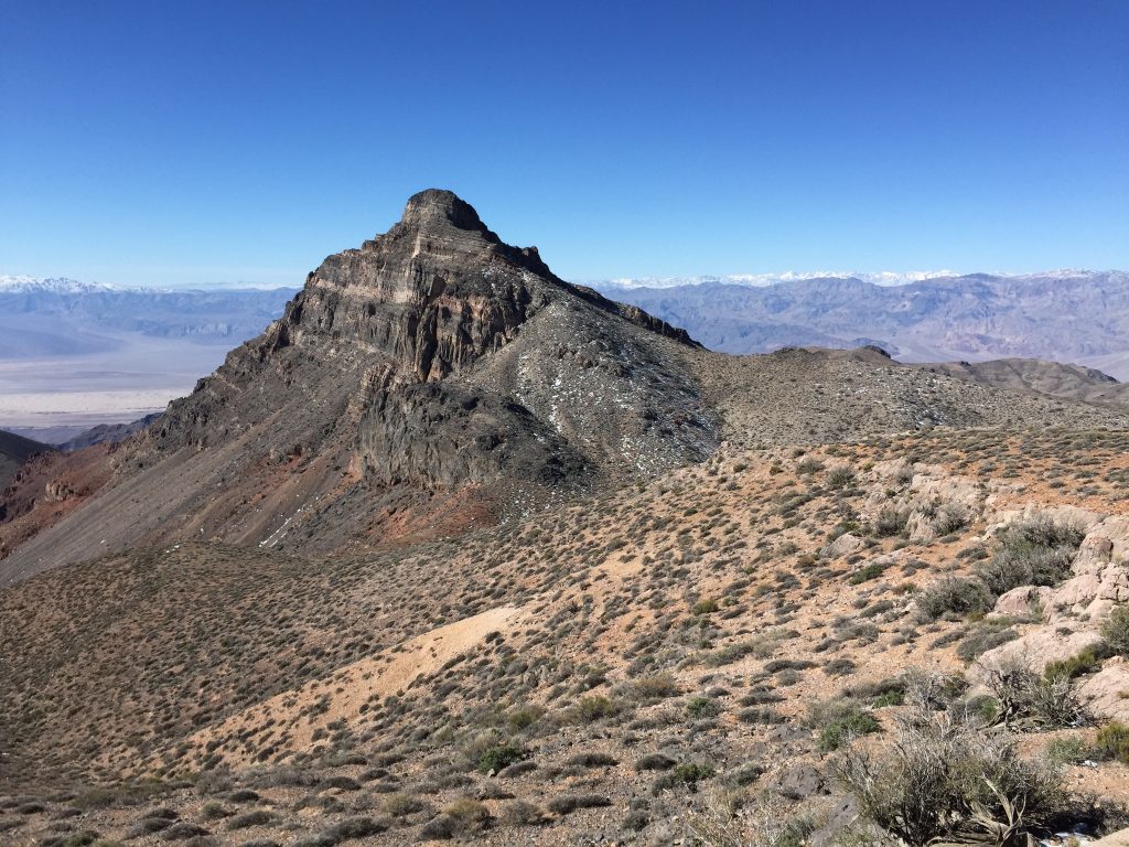
We tried to get a room at the Furnace Creek Resort but they wanted an unbelievable $340/night so we drove back to Beatty,NV and the ever-reliable Exchange Club Motel. We had dinner again at the Sourdough Saloon where had decent pizza and refreshing beer. On Friday, we drove back to the Park after breakfast to climb Corkscrew Peak (5,084 feet). This peak is a stunner and dominates the view north of Furnace Creek. It looks a bit like a corkscrew. When I saw this peak the prior November, I knew that I had to climb it.
This climb was 8 miles round trip with 3,200 feet of elevation gain. The first 2 miles were mostly flat as we wandered through the brush. We entered a narrow gully near the base of the peak and kept our eyes open for a climber’s trail that left the gully to reach the ridge above. Once we found our turn, it was a short, steep climb to the ridge. The ridge was moderate at first and then steepened considerably. We hiked by an arch along the way and soon thereafter, the ridge moderated and we reached the summit. We were back to the car around 1:00PM, changed and started the long drive home.
Walking across the flats.
Looking back from the start of the ridge to our starting point.
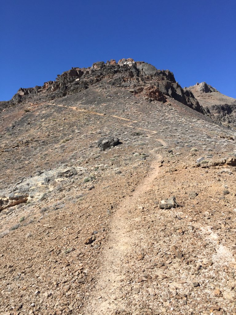
Looking toward the top only 2,000 feet above us.
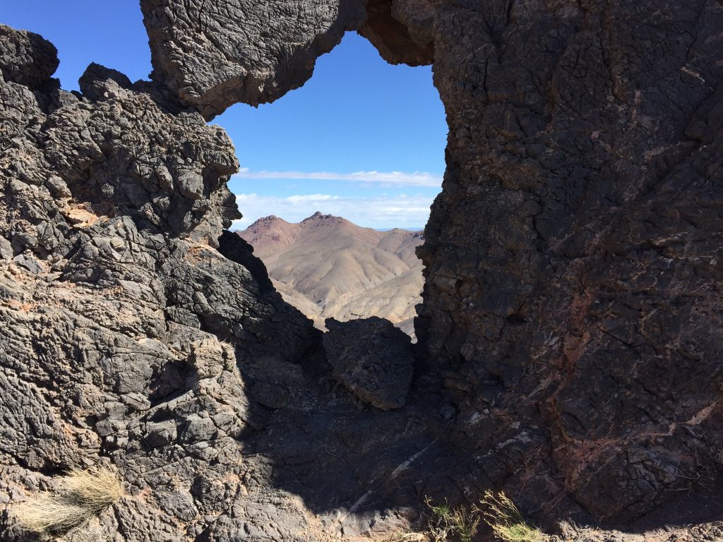
The arch framing Daylight Castle and Daylight Peak.
Arriving at the summit.
Next: Monte Solaro, Italy