My Sierra Nevada goal in 2009 was to return to Evolution Basin in northern Kings Canyon National Park. I had visited the basin in 1976 when I was working for the Park. My assigned task kept me on the move and I only spent one night in this incredible area. The John Muir Trail traverses the basin but on either side of the trail are miles of trail-less country, alpine lakes and giant peaks. There is no easy way into the basin. The shortest trailed route covers 20 miles before reaching Evolution Lake. So I looked for a shorter cross-country route. I finally decided to approach the basin via Lamark Col based on descriptions of the route that made it sound feasible.
My wife (Laurie Durocher) had previously crossed an untrailed pass with me in the Sierra Nevada and was willing to give it a go–after I read her a description of the route. Basil Service was anxious to fish the basin’s lakes and signed on without knowing anything about the route. R.J. Secor’s book, The High Sierra: Peaks, Passes and Trails, states that Lamark Col “is probably the most popular cross-country route across the Sierra Crest between Bishop Pass and Piute Pass.” Secor then rates the pass as a Class 2 crossing and gives an accurate description of the route on both sides. What the book does not tell you is that the col is not the crux of the crossing. More on the crux later.
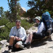
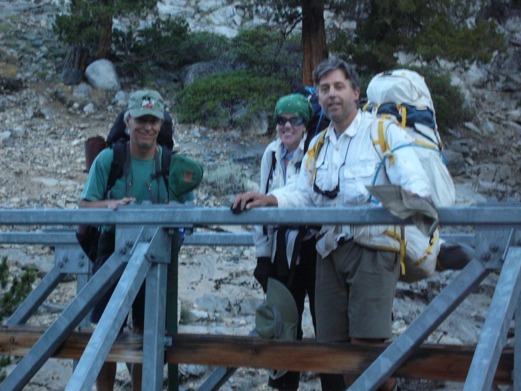
We drove from Boise to Bishop, California and picked up our Wilderness Permit on August 14, 2009. You can secure permits months in advance or take your chances and hope that there is an opening when you arrive. See the Inyo National Forest’s website for details. The next day (August 15th) we were up early, drove to the trailhead and got moving. Our goal was to camp at 12,200 feet on the east side of Lamark Col. Given that the altitude was much higher than most of Idaho, we did not want to push it the first day. The first 2 miles to the Lamark Lakes went quickly.
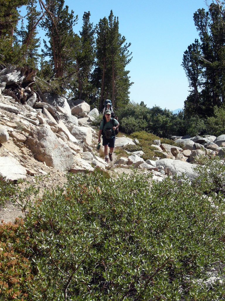
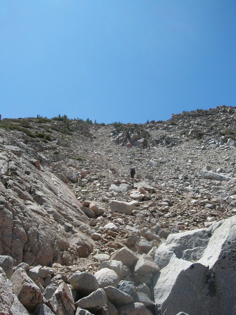
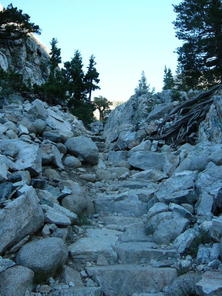
From the lakes, we left the maintained trail and followed a nice hiker trail southwest as it climbed over a ridge via a talus slide. The route then dropped into the next drainage. We ascended the drainage to a spot just below the Col and set up camp. It took us 7 hours to climb 5 miles and 3,000 vertical feet. My pack weighed 50 pounds. Laurie’s pack probably weighed 40 pounds. Basil was carrying around 50 pounds. The route to this point was great–steep but easy to follow. It appeared that the trail had been constructed by a trail crew in places.
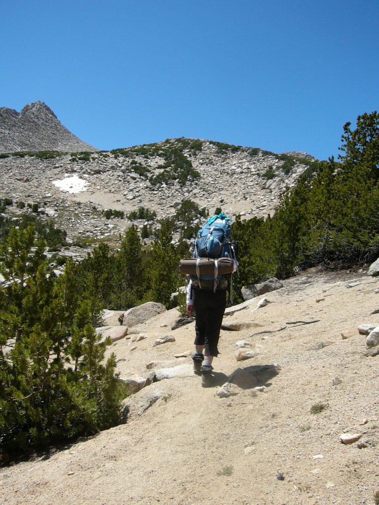
On the trail once again.
Lower Lamark Lake
The trail goes up and over that ridge. It looked easier on the map.

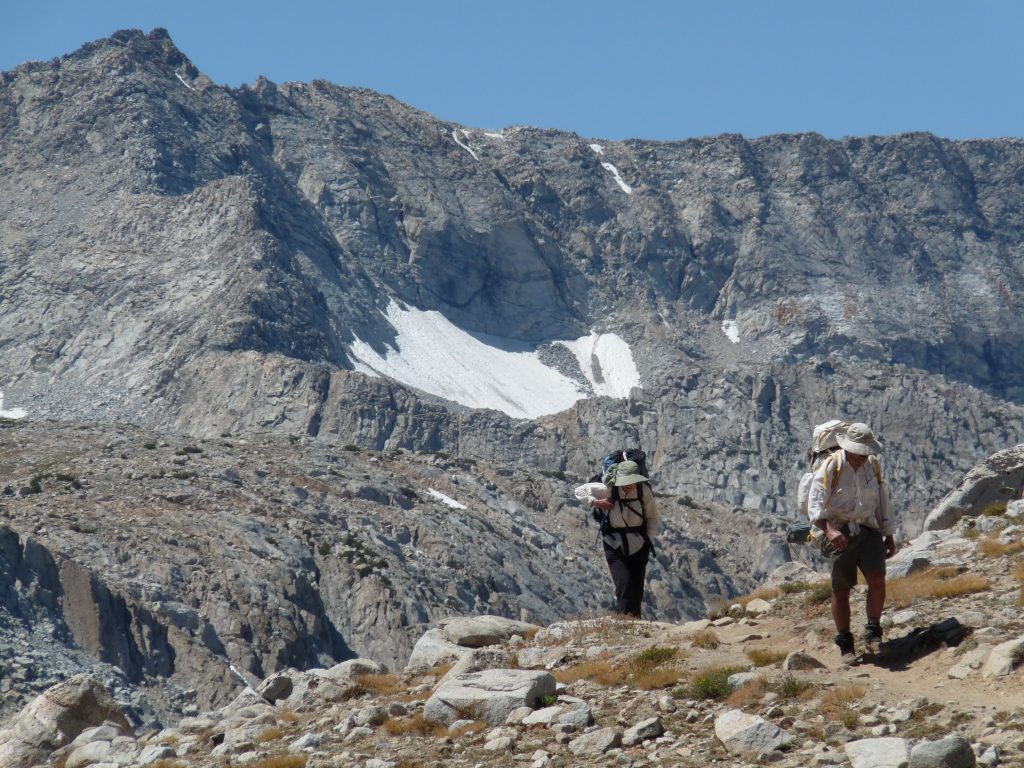
Taking a break halfway up. Basil Service Photo
It is a long way up in the sun with full packs.
Down into the next drainage.
Well above treeline.
Camp 1 just below Lamark Col.
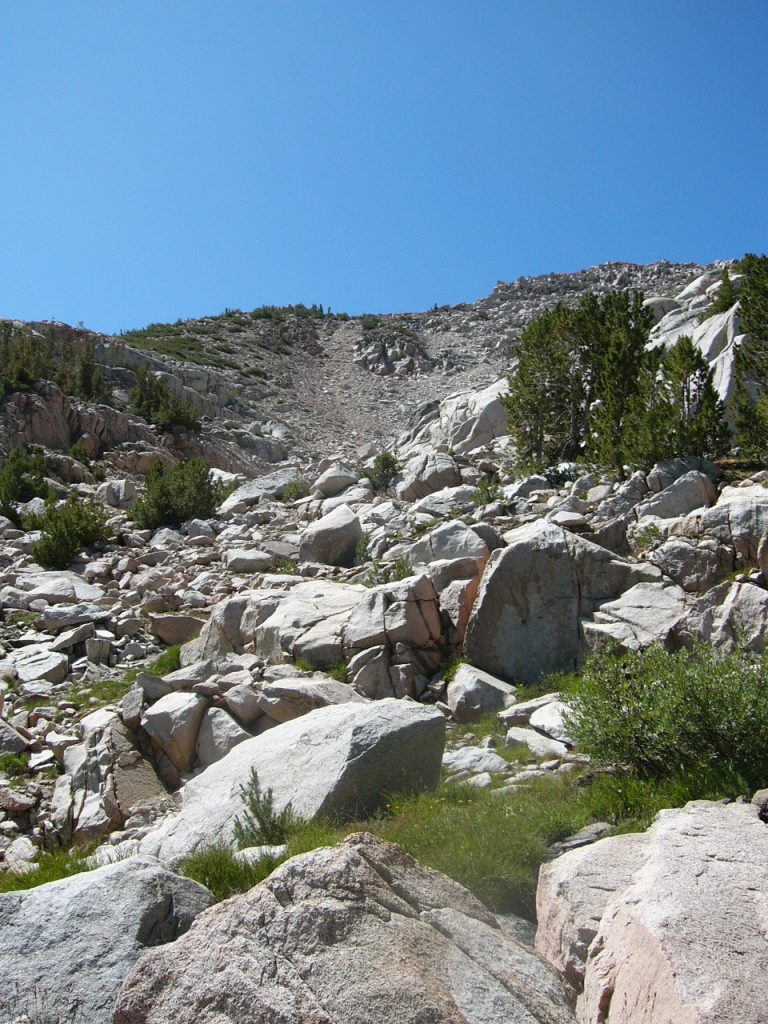
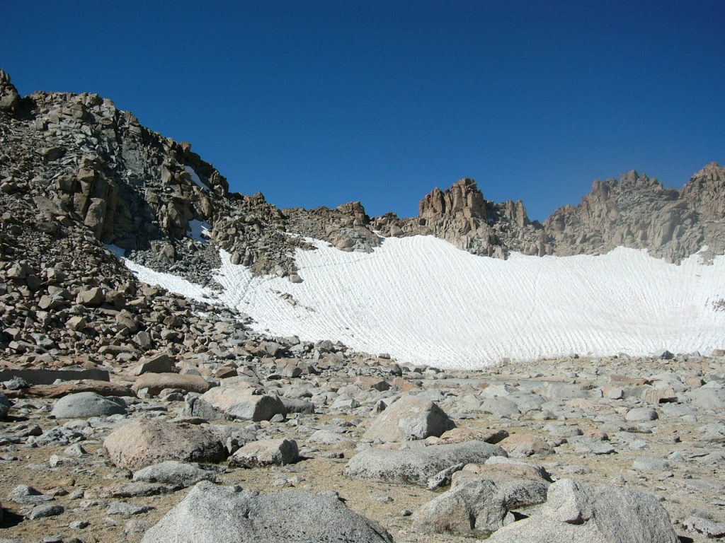
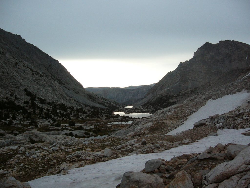
We climbed over Lamark Col the morning of August 16th. The snow on the east side had a path or rut cut through it making the going easy. We then had a long slow descent to Darwin Lake. Traversing around Darwin Lake was much harder than crossing Lamark Col. There was no easy way around the lake which is surrounded by boulder fields. We had to climb over truck-sized boulders and often had to take our packs off, climb a boulder and then pass the packs up and down to make progress. The guidebook was fairly accurate about the pass but did not mention the difficulty of traversing around Darwin Lake. The traverse around the lake was so tough that none of us wanted to go back over Lamark Col as originally planned. It’s too bad that the traverse around the lake was so difficult since our only other alternative adds 30 miles to the trip. The extra distance we would have to travel would cut down the time we could spend in Evolution Basin. It may have been the hardest 4.5 miles I never hiked.
Lamark Col
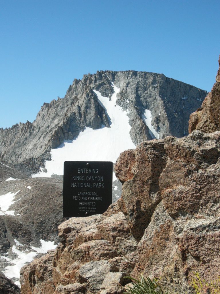
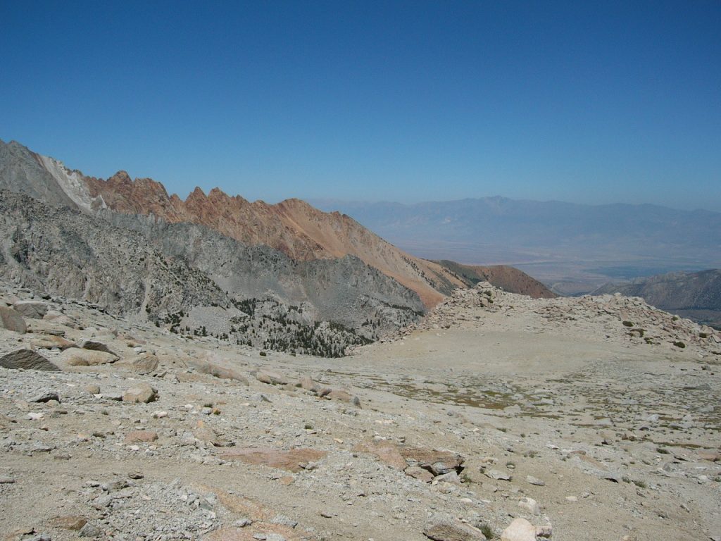
Looking into Kings Canyon National Park.
Looking down the slope from Lamark Col. Basil Service Photo
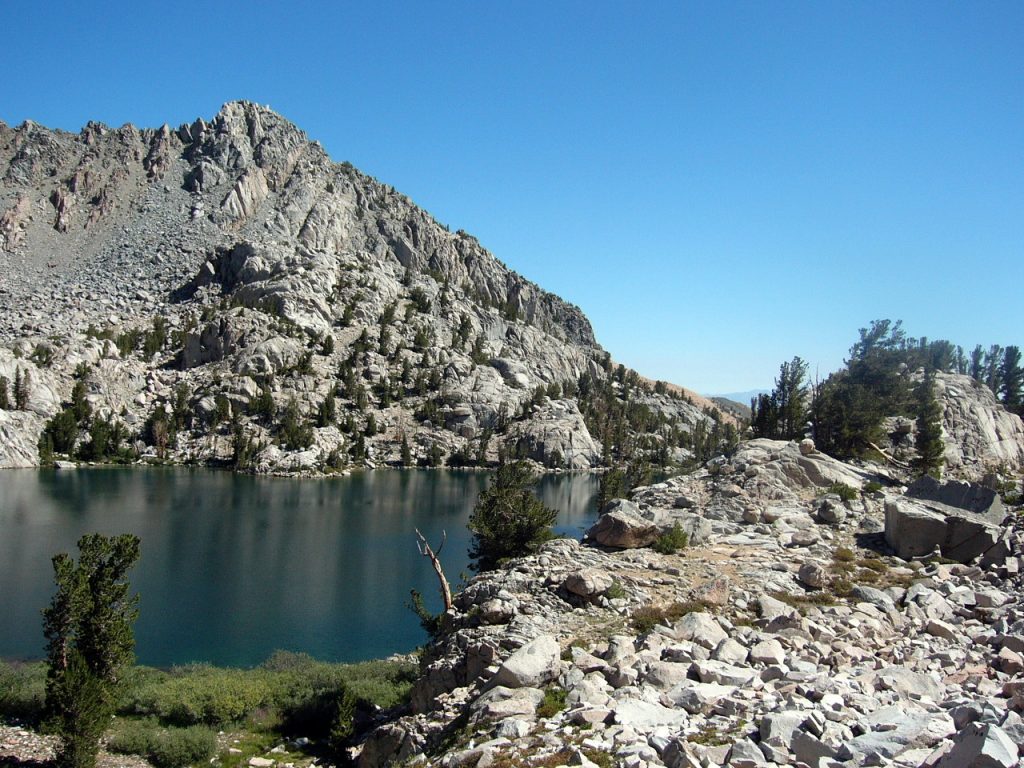
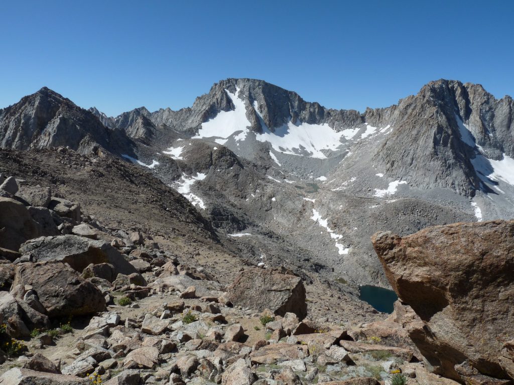
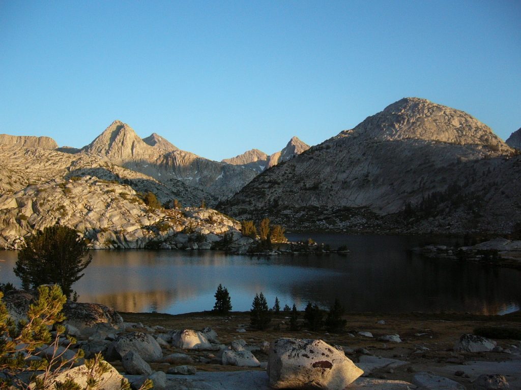
Darwin Lakes in the distance.
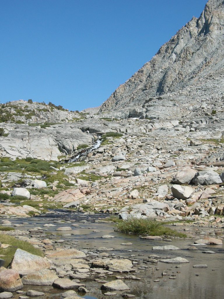
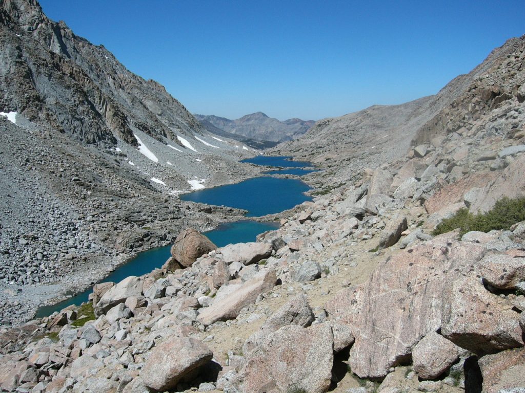
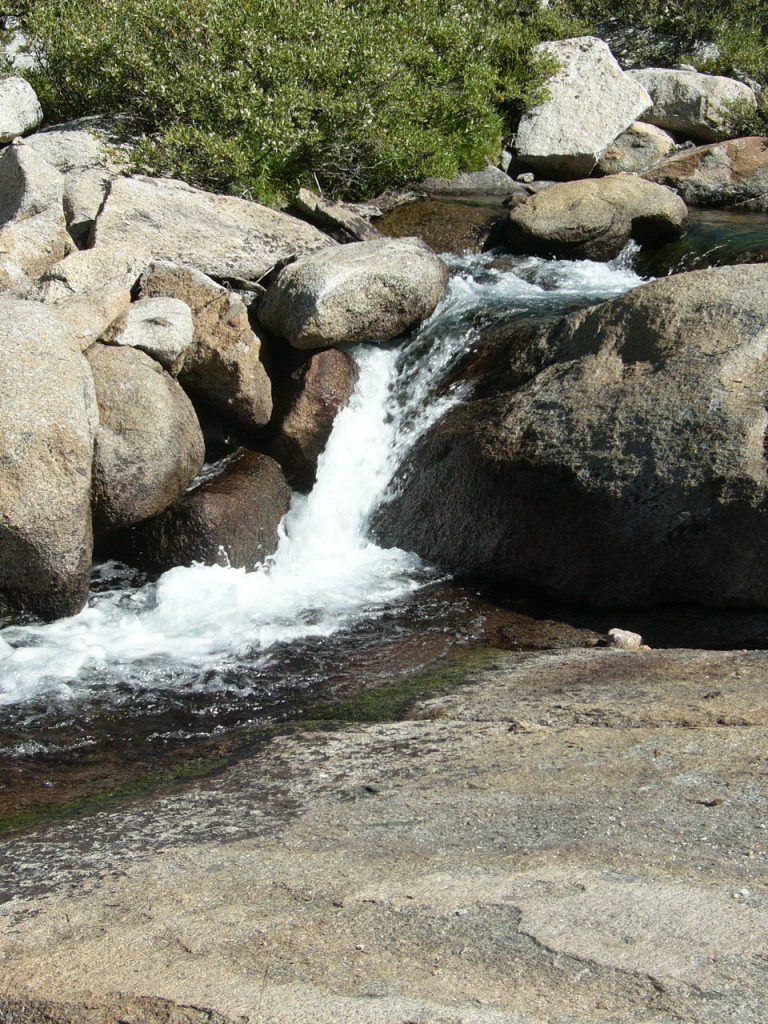
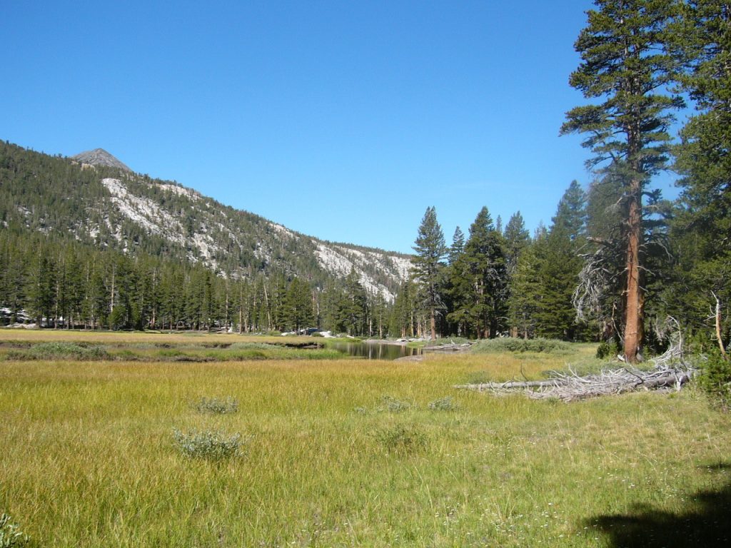
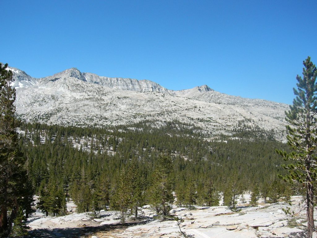
The Sierra Nevada high country is granite, water and meadows.
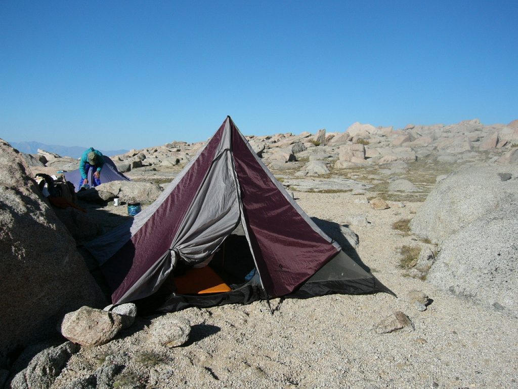
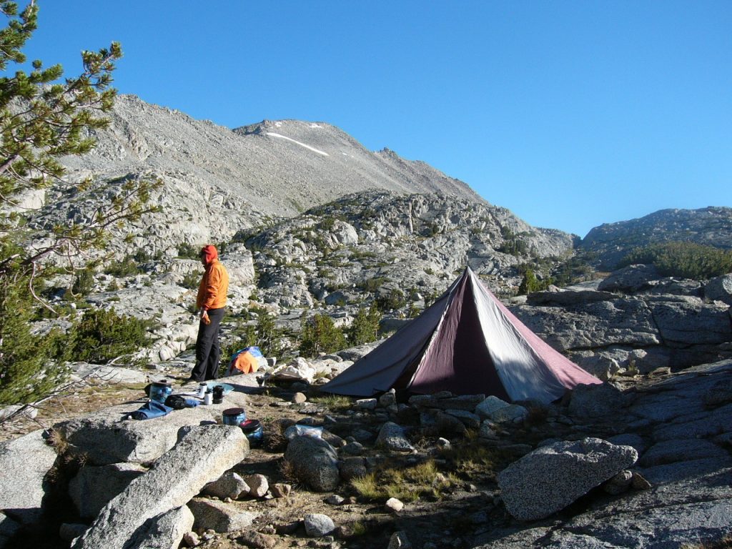
The view from Camp 2.
My journal entry the next morning:
“August 17th. We had a nice evening last night although we were all very tired. Decided to take the long way out rather than suffering Darwin Lake and Lamark Col again. So we are trading a 10-mile hike over the pass for a 30-mile roundabout hike out. I guess that tells you how hard the crossing was. Today we are going to move camp to Evolution Lake.”
Camp 2 on our 3rd morning.
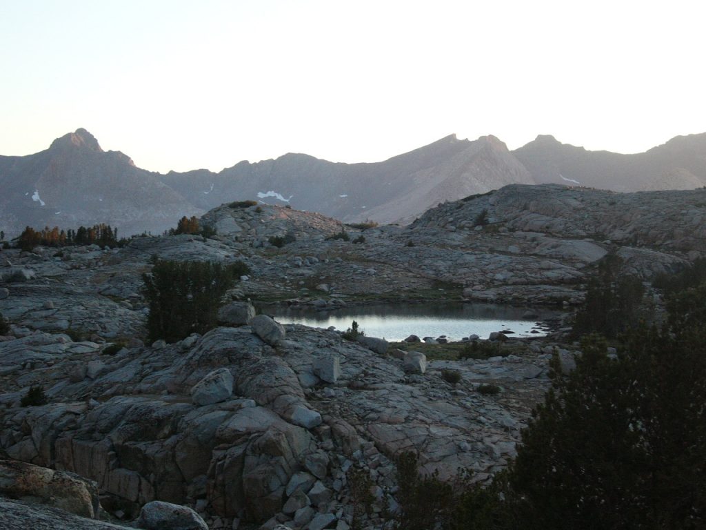
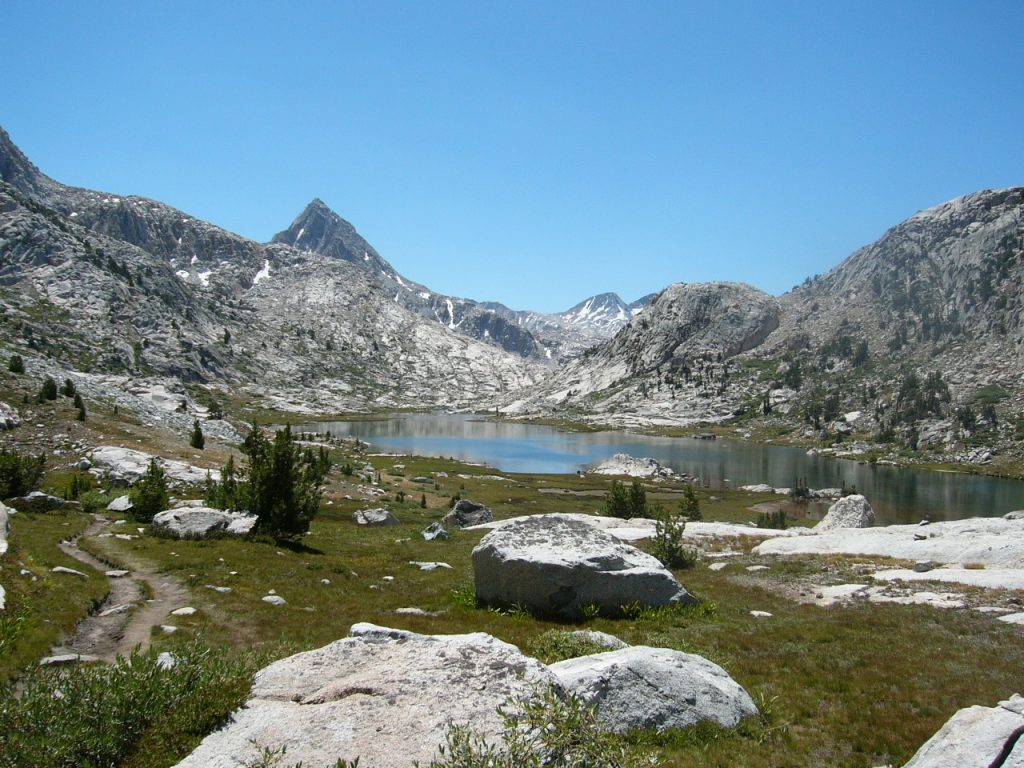
A small unnamed lake on the Darwin Bench.
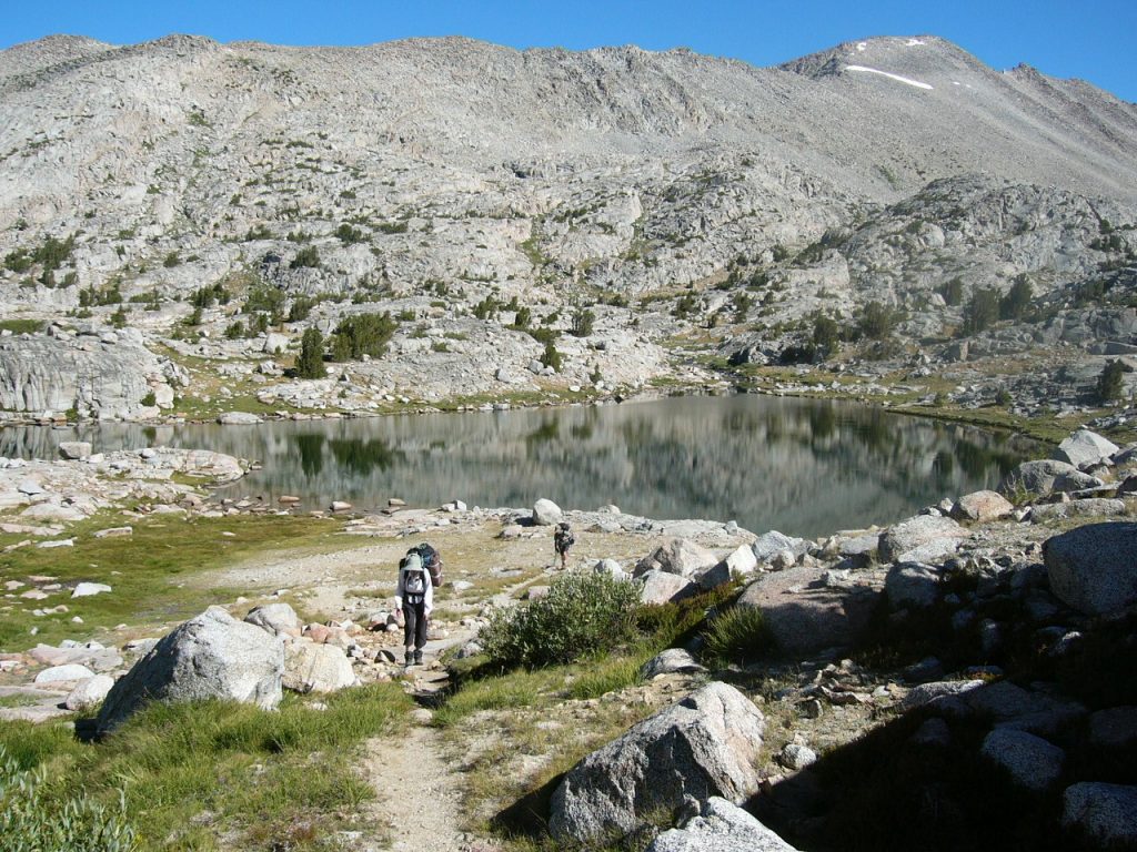
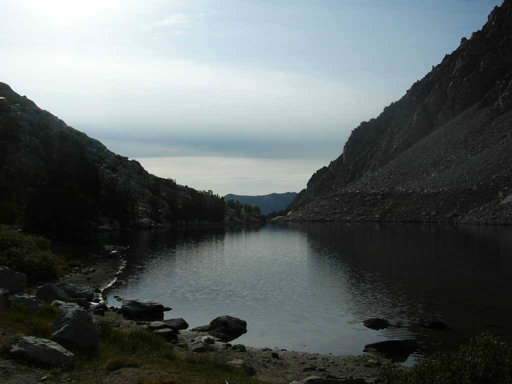
On August 17th, we moved our camp 1-1/2 miles to the north shore of Evolution Lake without any difficulty. A lot of this short walk was across granite shelves and meadows. The scenery was terrific. After lunch we hiked south on the JMT, climbing up to the lake between Sapphire Lake and Wanda Lake. This country is all rock and water. The total mileage today was roughly 6 miles.
Evolution Lake. The vast majority of the lake is around a corner and out of sight.
On August 18th (our first full day in Evolution Basin), we hiked to Wonder Lake and back and made a side trip up to Sapphire Lake. There was a lot of clouds and wind in the afternoon. We hiked about 8 miles. Basil caught a few fish and released them all back to the lakes.
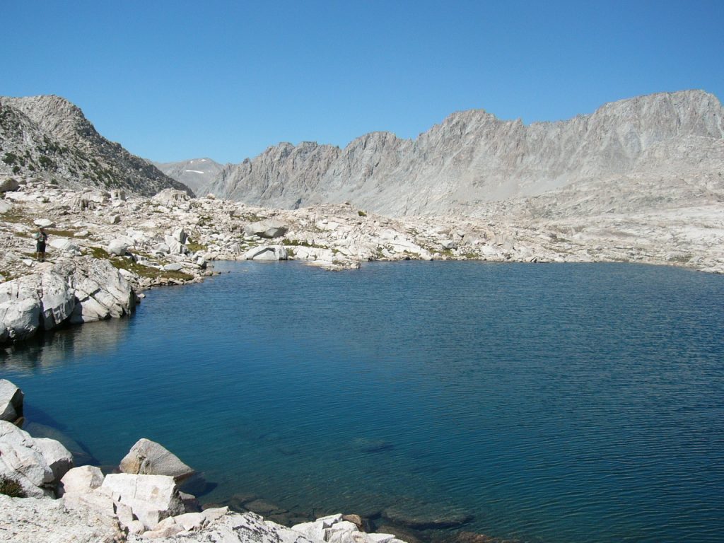
Sapphire Lake
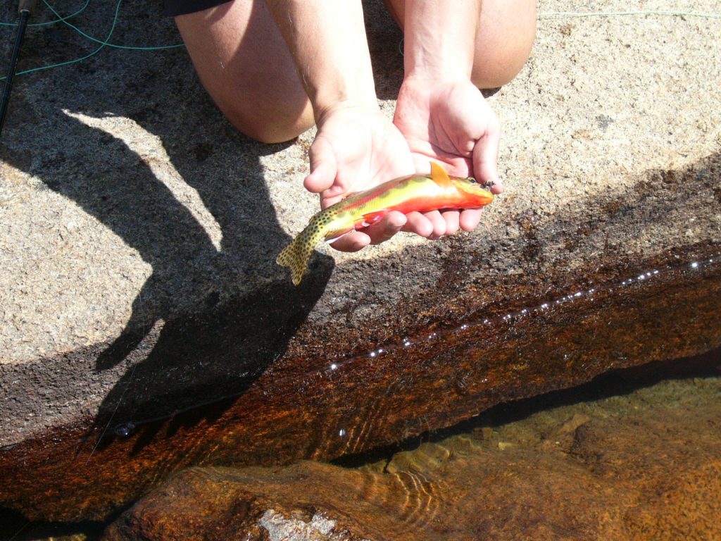
A California Golden Trout
Our final evening in Evolution Basin.
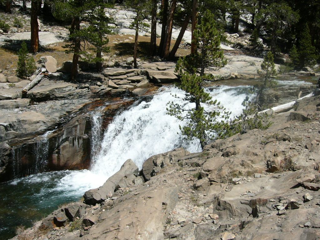
On August 19th, we unfortunately had to start our long trip out which we figured would take 3 days. This decision cut 2 climbing days out of our planned stay in Evolution Basin. This is a shame as there was so much more country to explore. We hiked downhill to the junction of Piute Creek and South Fork of the San Joaquin River, dropping from our 11,000-foot camp to a lowly elevation of 8,000 feet. There were many campsites at this junction and they were mostly filled. The hike down to the junction was 10.8 miles long and covered some beautiful country with lots of cataracts, waterfalls, large cedar trees, fir trees and Ponderosa pines.
Hiking down toward the San Joaquin.
For those of you who have never had to carry your food in bear canisters, I will relate a little bit about them. Bear canisters are required throughout the Sierra Nevada. The use of canisters has been very effective in deterring bears from raiding backcountry camps–an event that was all too common in the Sierra before the dawn of the canisters. I remember interviewing JMT hikers for the Park Service in 1976 and everyone of them had been harassed by bears trying, often successfully, to get their food. However, the canisters can be a trial. It is hard to pack enough food for long trips in the canisters and carrying them is akin to carrying a large box in your pack. On this trip we took 4 canisters (2 large and 2 small ) for 3 people.
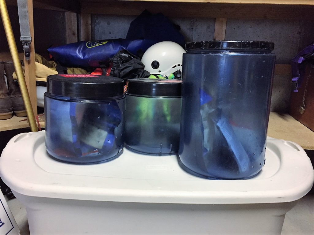
3 bear canisters awaiting our return to the Sierra Nevada. The large one on the right was the one that would not open.
On the preceding day, our largest canister’s lid froze shut and no matter how hard we cranked on it, we could not open it. It had all of our dinners in it. This night, after a rather meager meal of snack food, I decided I would open the canister one way or another. Keep in mind that, in tests, not even grizzly bears can get the canisters open. But I was hungry and determined. First, I banged it on rocks. Next, I tried to cut the lid with my Swiss Army Knife. Getting desperate, I tried to drill a hole in it with my knife’s leather punch. None of these efforts made more than a dent in the hard plastic. Finally, I managed to force the flat edge of my knife’s screwdriver under the lid and pried the lid up just enough so that I could stick a tent stake under the lid. I then pounded the stake about an inch into the container and used the stake as a lever to pry the top off. With apologies to Yogi Bear, I guess I’m “Smarter than your average bear, Booboo.” We then had a late dinner.
On August 20th, we had to start the long climb up Piute Creek. We decided to break the hike to the pass into 2 days. This day we made a fantastic hike up scenic Piute Canyon to Hutchinson Meadows at 9,490 feet. Rock, water, trees, bushes and flowers created natural symphony. We gained it just less than 1,500 feet in 5 miles. We found a beautiful campsite in the meadows.
Time to climb out of our hole and head east toward Piute Pass.
Many Sierra Nevada trails are well constructed.
Halfway to Piute Pass.
The next day we continued up Piute Creek. As we climbed above treeline, we were overcome by the scenery which was as impressive as any place I have visited in the Sierra Nevada. We were making good time. Instead of continuing over Piute Pass, we decided to set up camp by a small lake at 11,212 feet and enjoy one more day in this alpine wonderland. Our mileage for the day was 6 miles with 1,800 feet of elevation gain. There is a lot of country to explore around Piute Pass. I decided that I would come back to this spot and camp and explore the surrounding peaks. Around 5:00PM, we were treated to a magnificent thunderstorm and, after the thunderstorm cleared, an incredible sky and sunset. The Sierra Nevada is a never-ending land of hiking opportunities.
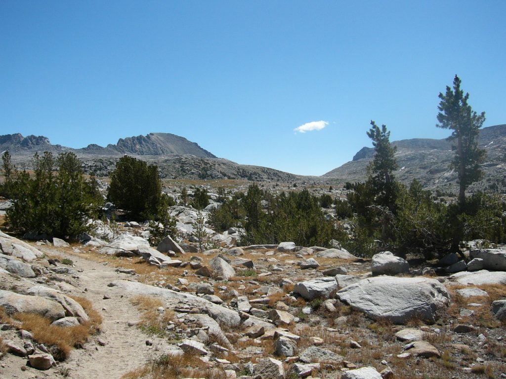
There is a lot of area to explore around Piute Pass.
Near the top of Piute Creek. Basil Service Photo
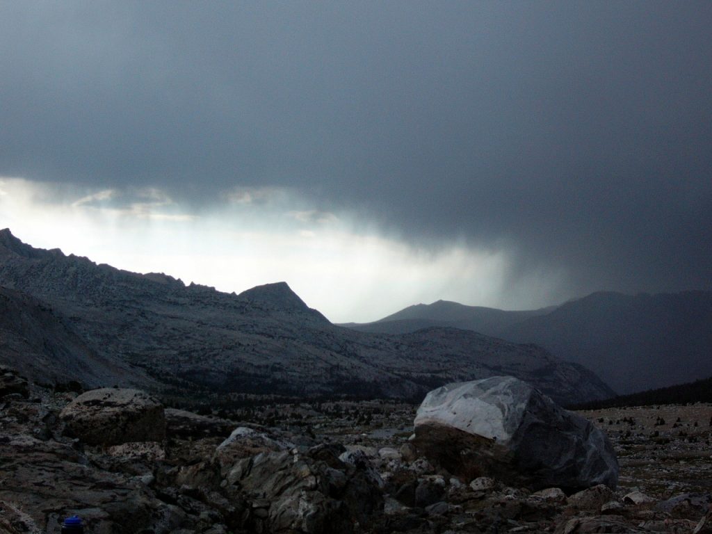
A storm rolling in.
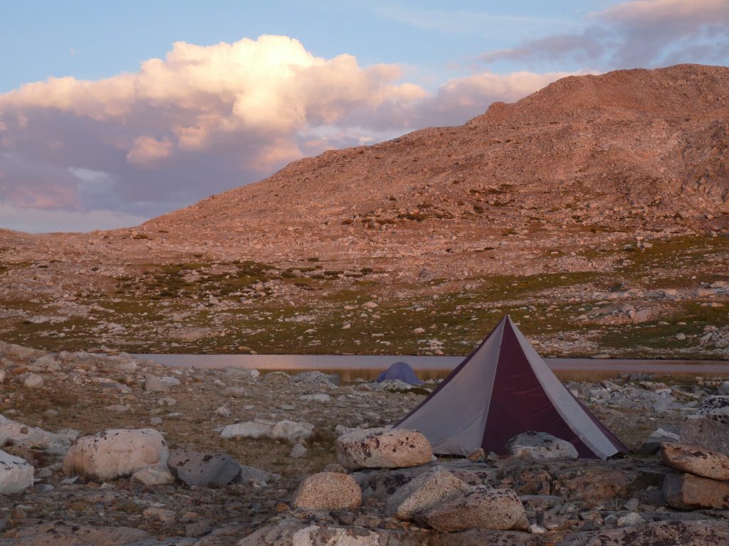
Our final camp. Basil Service Photo
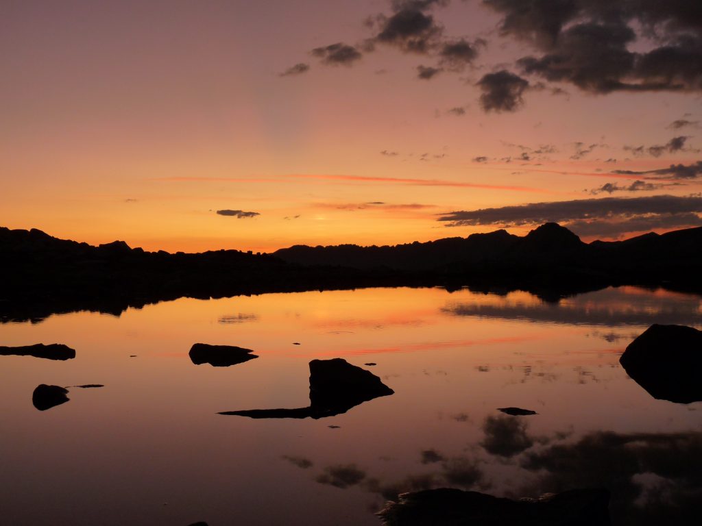
Our final sunset. Basil Service Photo
August 22nd brought us back to civilization. We crossed the pass and hiked the last 5 miles early in the morning. By lunchtime, we were eating a great Italian meal at Romano’s in Big Pine, California and so ended another Sierra backpack trip.
Looking east from Piute Pass.
Next: The First Ascent of JT Peak