Elevation: 9,438 ft
Prominence: 778
This peak is not in the book.
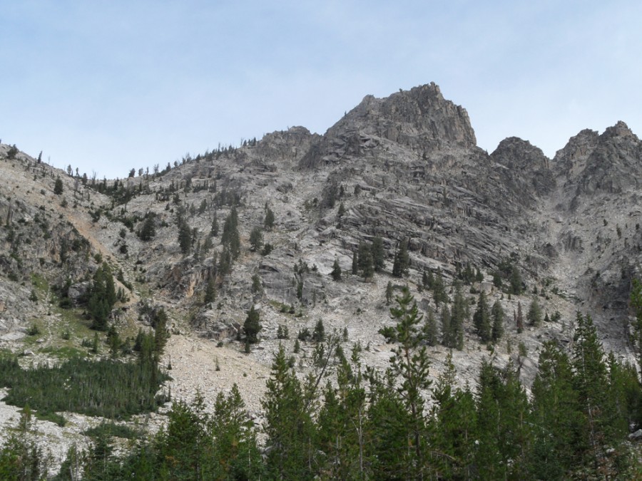
This peak is located near the headwaters of the South Fork Payette River, south of Grandjean. John Platt and I recorded the first ascent of this peak in 2011. It is rated as the 6th-steepest peak in the State of Idaho. The first time I saw this peak was in 1990 (see A Sawtooth Traverse). From the distance, the summit block looked steep and studded with granite towers. My research failed to turn up any information on this unnamed peak and, based on its location, I told myself the peak was probably unclimbed. It took me a while to find anyone interested in attempting it. USGS Mount Everly
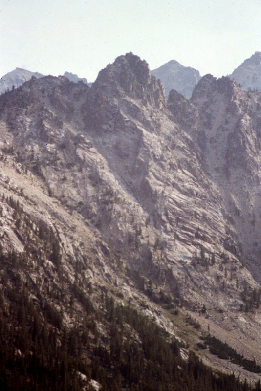
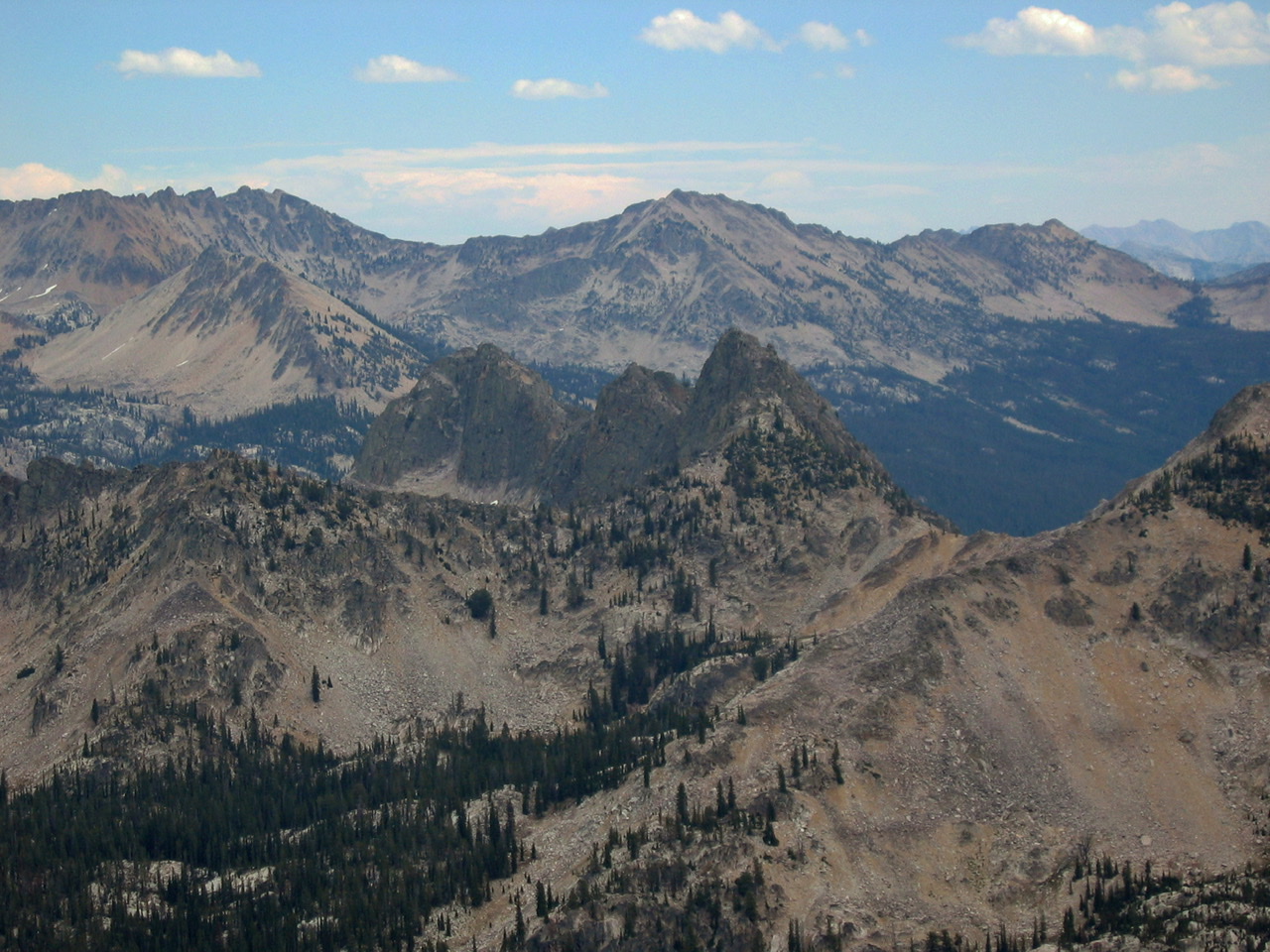
My first look at JT Peak in 1990 as viewed from Plummer Peak.
Access
JT Peak is located in a relatively remote area above the South Fork Payette River, roughly 17 miles from Grandjean. The trail up the South Fork is the primary approach [(B)(3)(b) on Pages 208-209].
Poor Circulation Route, Class 3-4
The Poor Circulation Route climbs JT Peak’s South Face.
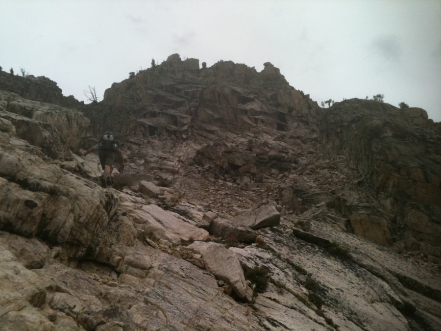
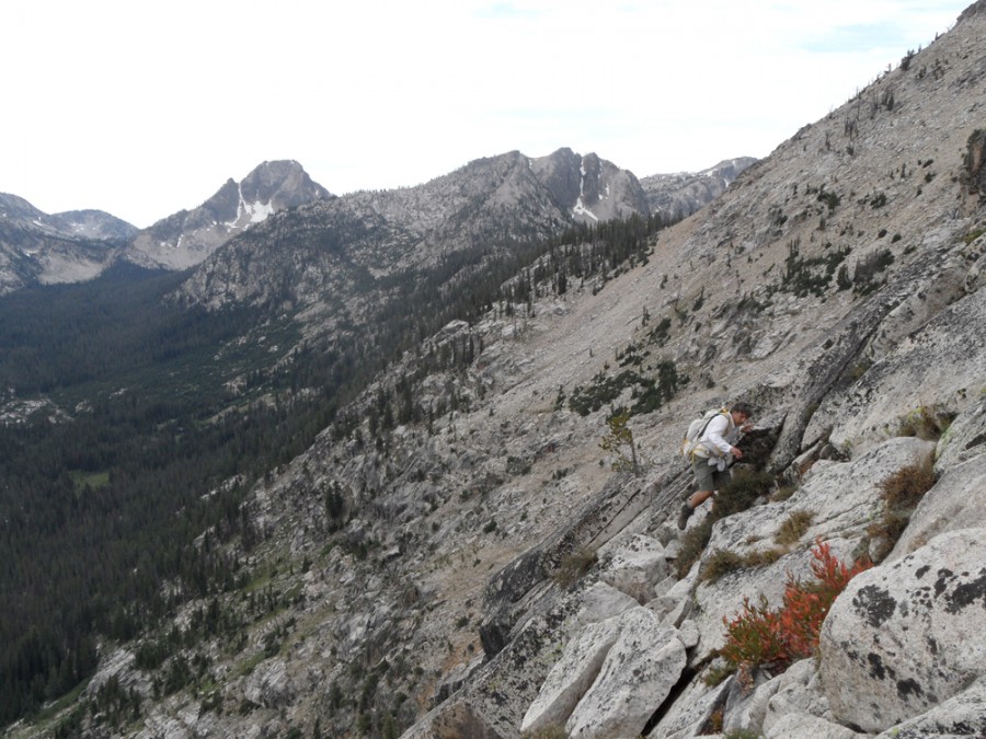
Based on John’s recon photo (see below), we identified the initial chute and started up it. At the top of the chute, we traversed to the right looking for a ramp (shown in the photo below). We then followed the obvious ramp to the right. The ramp was a wide, grass-covered stroll for as far as it went. However, it eventually ended. We then climbed up at this point, scrambling across steep Class 3 terrain until we reached another ramp which traversed left. When this ramp cliffed out, we bouldered up a short wall that gave entrance to the upper gully. We ascended the gully until it ended at a short wall.
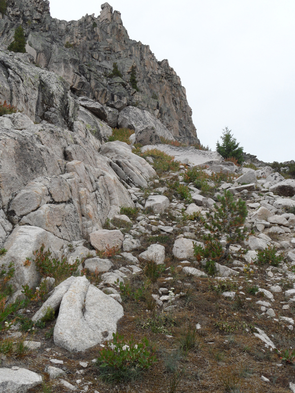
After climbing this wall, the angle started to ease back. At the very top, we confronted low-angle slabs. Normally these would be a piece of cake but they had a nice layer of undisturbed lichen that made slipping seem like a real possibility. Some slightly awkward underclings (the crack under the topmost block in this view is the undercling) got us onto the summit area. The final obelisk is the true summit. With about 1,000 feet of air on our left, we took turns scaling this 10-12 foot obstacle.
The initial chute. John Platt Photo.
The grassy ramp.
At the top of the chute, we traversed to the right looking for a ramp. John Platt Photo
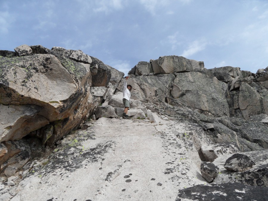
At the very top of the gully, we were confronted with some low-angle slabs. Normally these would be a piece of cake but they had a nice layer of undisturbed lichen that made slipping seem like a real possibility. Some slightly awkward underclings (the crack under the topmost block in this view is the undercling) got us onto the summit flats. John Platt Photo and Commentary
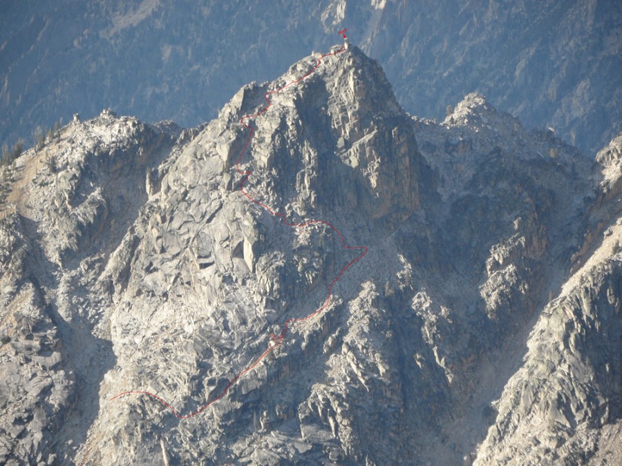
Our route is shown in red on this photo. John Platt Photo
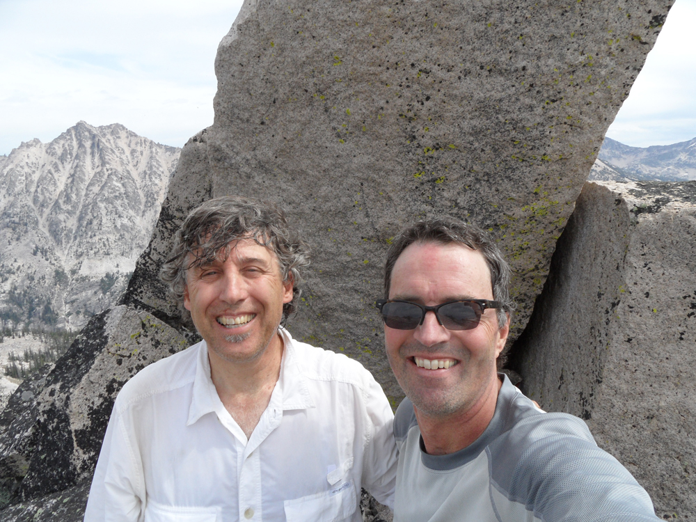
John notes that “This was a cool climb, very exploratory with a really interesting, convoluted route (in honor of our average age of 58, we dubbed it the “Poor Circulation” route). Until we were 50 feet below the summit, there was never a point that we knew we had it sewn up. And even then, the obelisk looked daunting.” Check out John Platt’s Trip Report.
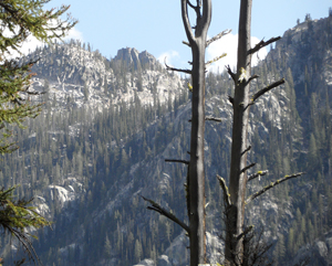
JT Peak as viewed from the west (2006). Photo is from just north of North Raker. Ray Brooke Photo
Next: High Thunderstorm Anxiety in the Sierra Nevada
Additional Resources