—Little Queens River to Redfish Lake (August 3-August 12)
Mount Everly as viewed from Blacknose Peak.
There are lots of exceptional backpacking destinations in the Sawtooth Range. Among my favorites are the Pettit-Toxaway Loop, the untrailed Upper Redfish Lakes and Sawtooth Lake. All of these spots are popular and crowded in July and August. Less well known, less visited and more remote is the southwestern section of the range north of Atlanta. This area includes the Little Queens River drainage, the Queens Divide and the Queens River drainage. There is no quick or easy way to reach the Atlanta-area trailheads and this remoteness generally means a better chance of finding Sawtooth solitude.
In 1990, Dana Hanson, Gary Quigley and I planned a traverse from the Southwest Corner of the range to the Northeast Corner. The first problem to overcome was transportation. Atlanta is not only a long drive from Boise but it is also a long drive from Stanley. Even using a two-vehicle shuttle is not practical. The last thing you want to do after hiking 60 miles is to drive from Stanley back to the Atlanta area to pick up a car, not to mention that you would need to drop off a car in Stanley before you start hiking. In short, you need someone to drive you to the starting point and someone to pick you up at the ending point.
Ask and you shall receive. I was in the Benchmark Outdoor Shop and asked Emil (the owner) if he knew anyone operating a shuttle service for hikers. His assistant manager overheard the question and volunteered to drive us to the Little Queens River trailhead. I asked him if was sure and he said he always wanted to visit Atlanta. Gary talked his parents into picking us up at the end of the trip.
August 3. Our benefactor (Dave) picked us up and we made the 4-hour drive to the Queens Rivers Transfer Camp trailhead. We arrived about an hour and a half before sunset. We put on our packs and hiked until it was too dark to continue. We camped just past the third crossing of the Little Queens River after roughly 5.2 miles.
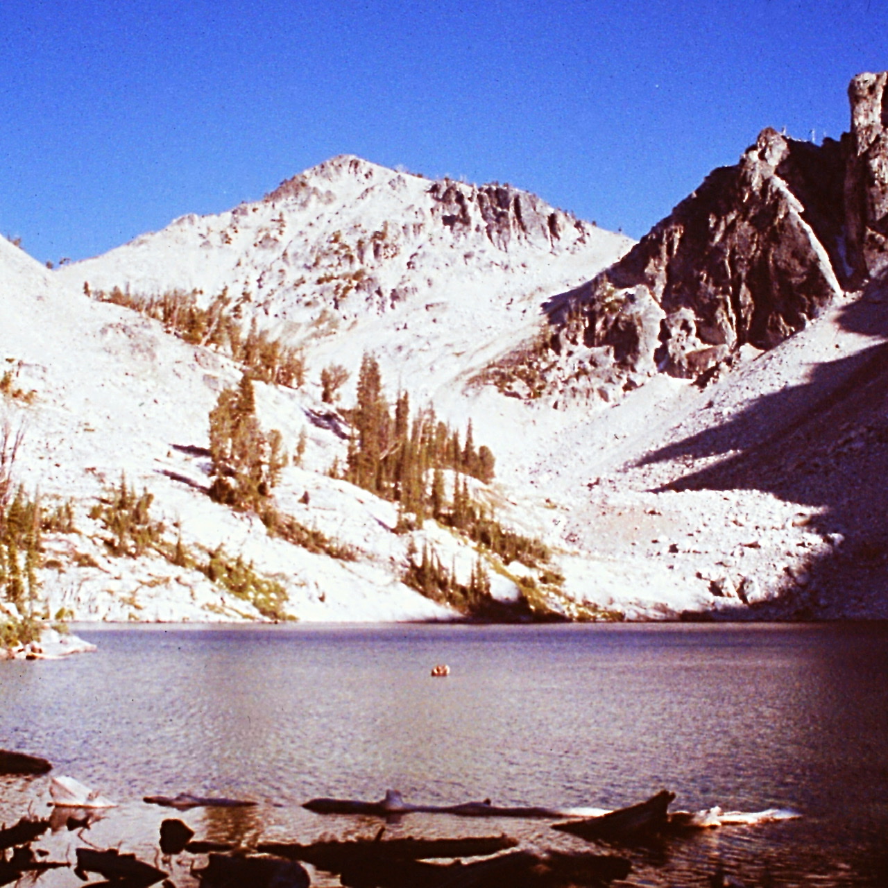
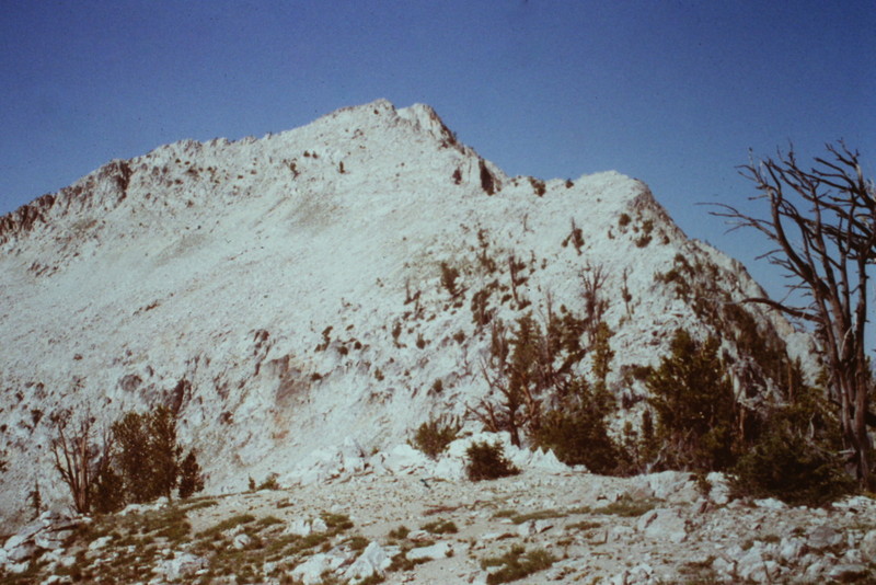
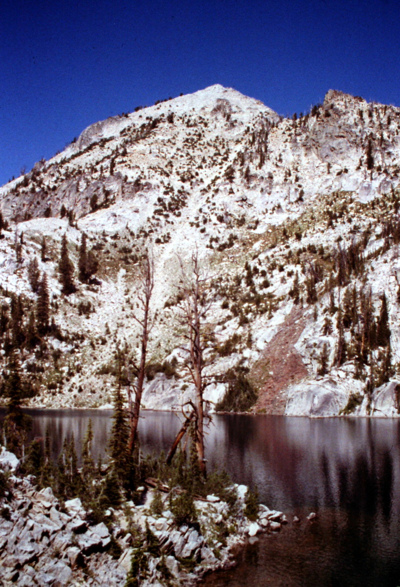
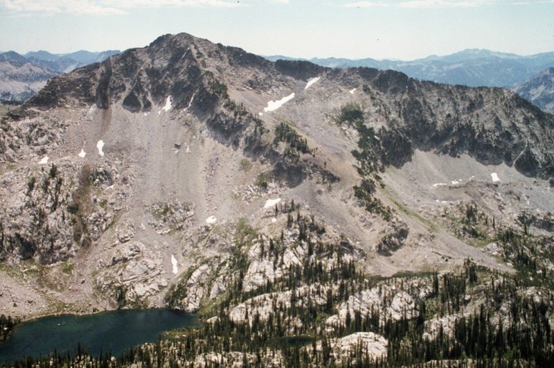
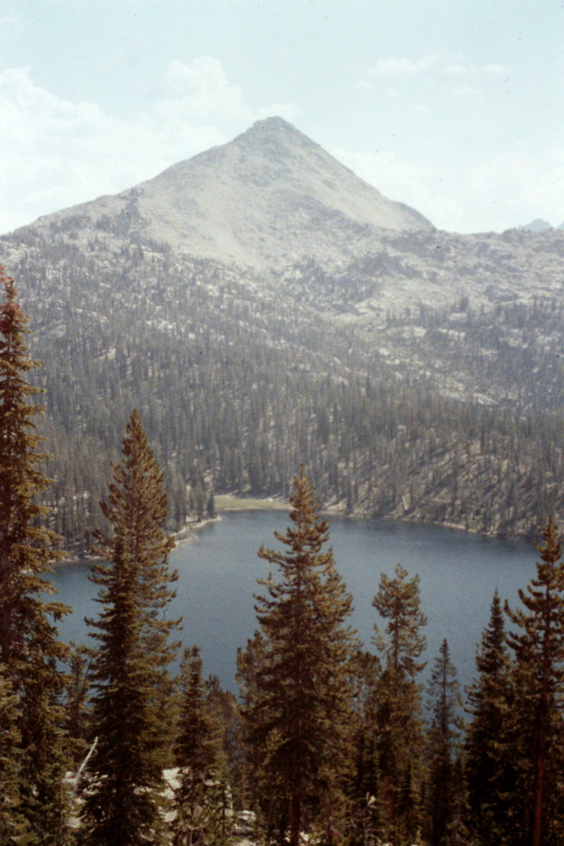
August 4. We continued up the Little Queens River to Scenic Creek and then hiked up Scenic Creek to Scenic Lake where we set up a “scenic” camp. From lower Scenic Lake, we climbed Nahneke Mountain (9,582 feet) and its lower summit, West Nahneke Peak. We covered 7.6 miles.
Scenic Lake and Nahneke Mountain.
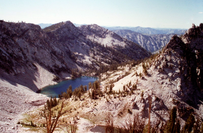
The view west to Scenic Lake from the summit of Nahneke Mountain.
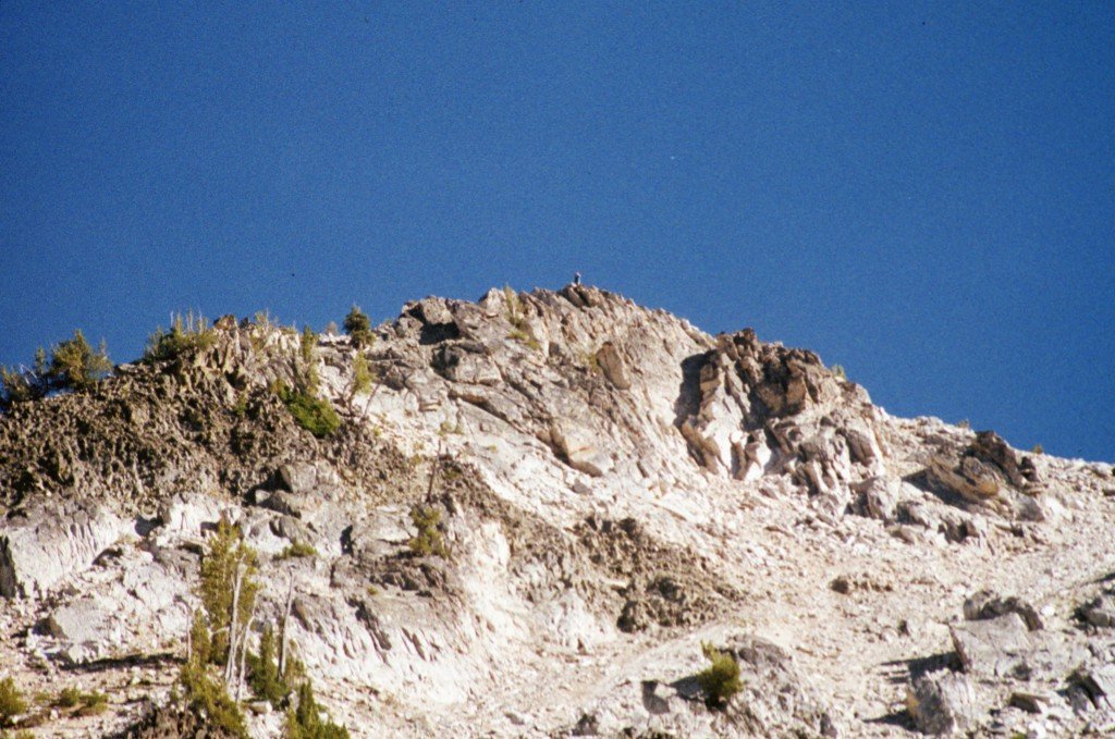
The summit of Nahneke Mountain.
The summit of Nahneke Mountain as viewed from the North Ridge.
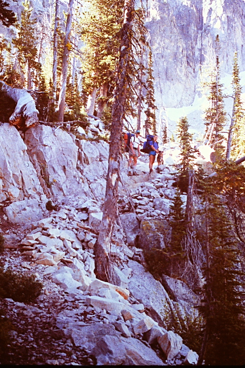
August 5. Our goal was to reach Pats Lake. Our route descended down Scenic Creek to the Little Queens River and then up the drainage to High Pass. High Pass was forested but openings provided nice views. Before reaching the pass, we met 2 backpackers at the trail junction for Browns Lake. They were the first people that we encountered on the trip.
Dana and Matilda resting on High Pass.
From High Pass (8,480 feet), the trail descended into the Johnson Creek drainage. Johnson Creek flows west in a meandering fashion and eventually meets up with the North Fork Boise River near the Graham Guard Station. It is one of Idaho’s most remote streams. We eventually arrived at the Johnson Creek crossing after losing 1,500 feet of elevation and climbing over (or scooting under) many downed trees. The day had become very warm by this time. From the crossing, our route climbed up switchbacks and then turned east to meet Johnson Creek again just west of Pats Lake by Johnson Creek Falls.
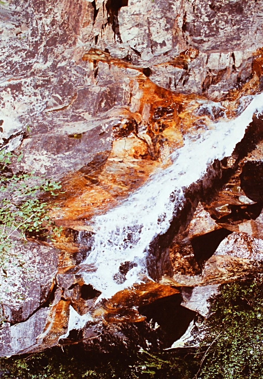
Johnson Creek Falls
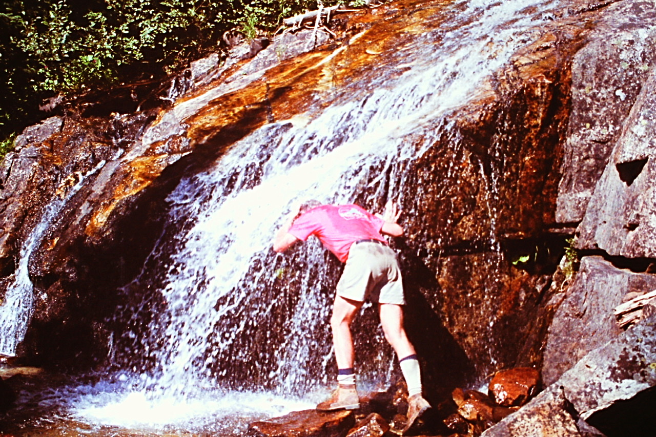
Gary Quigley cooling down at Johnson Creek Falls.
We cooled down at the Falls and then continued on to Pats Lake and set up camp. Our route covered a hot 11.7 miles.
Pats Lake
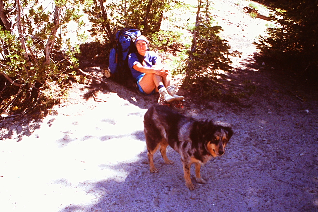
Matilda resting at camp.
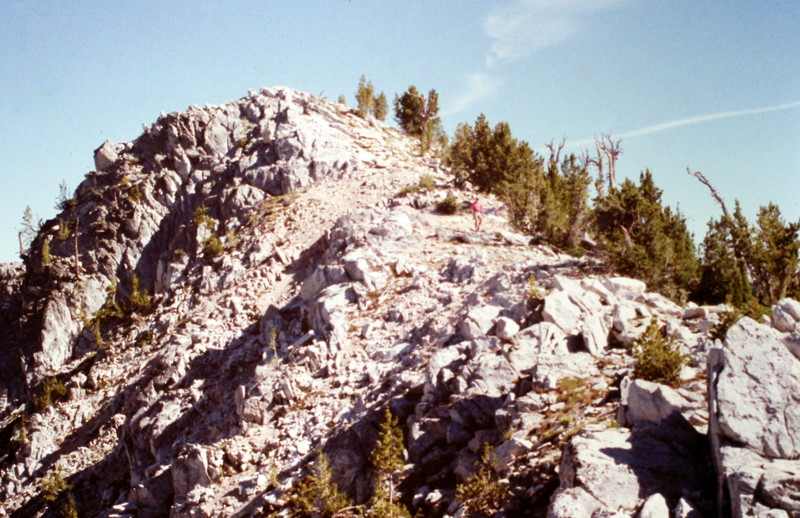
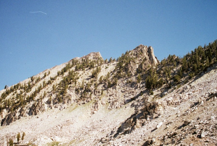
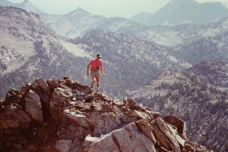
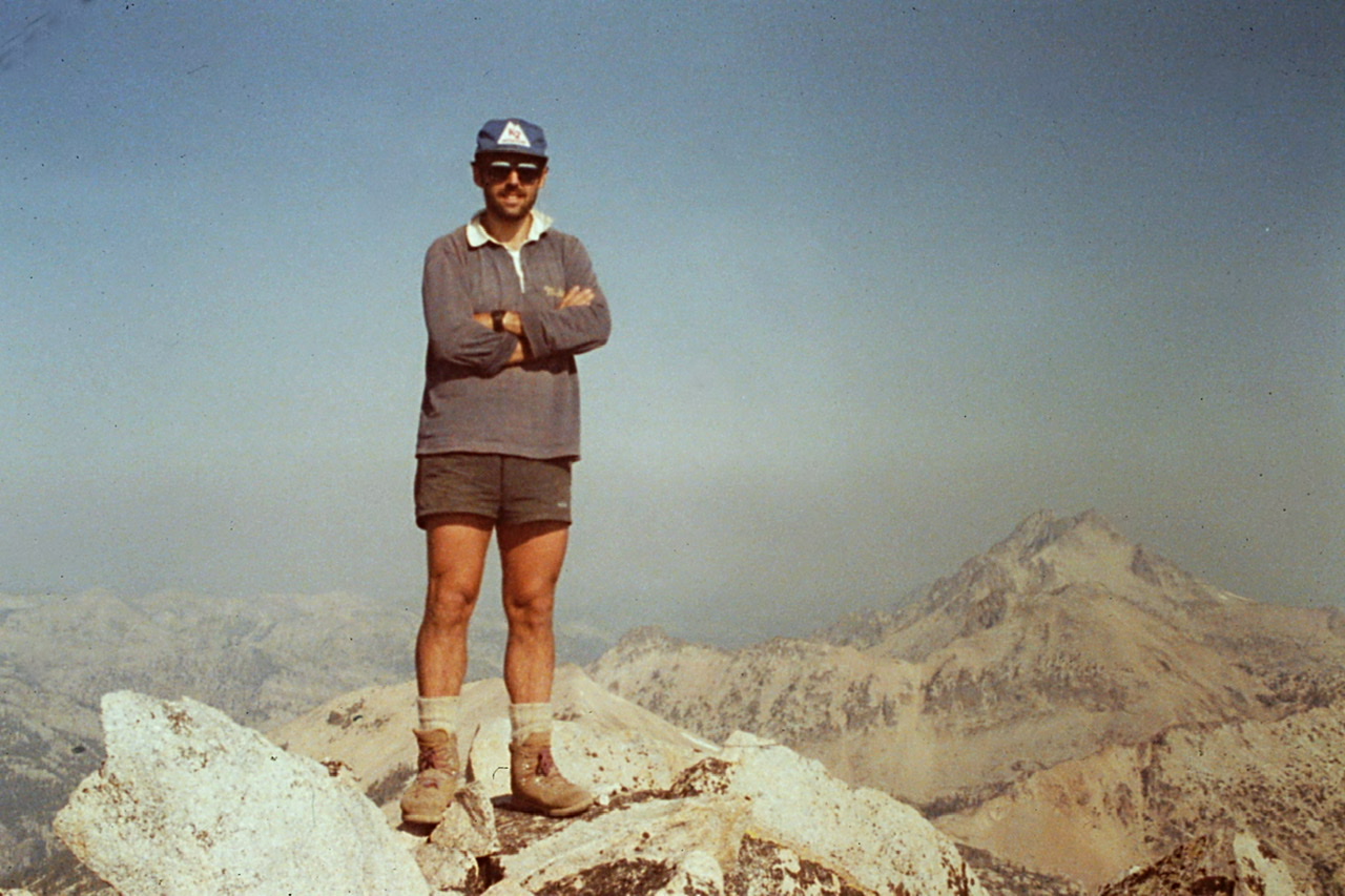
August 6. We left camp early hoping to beat the August heat. Our goal was to reach Everly Lake and to climb the peaks on either side of 9,200-foot Queens Pass. The 800-foot climb to the pass went quickly. We dropped our packs and started our climb to the twin summits of Blacknose Mountain (9,802 feet). The route goes northwest across a broad talus slope to the top of the ridgeline that leads to the summit.
Blacknose Mountain as viewed from Queens Pass.
The lower Blacknose summit as viewed from the true summit.
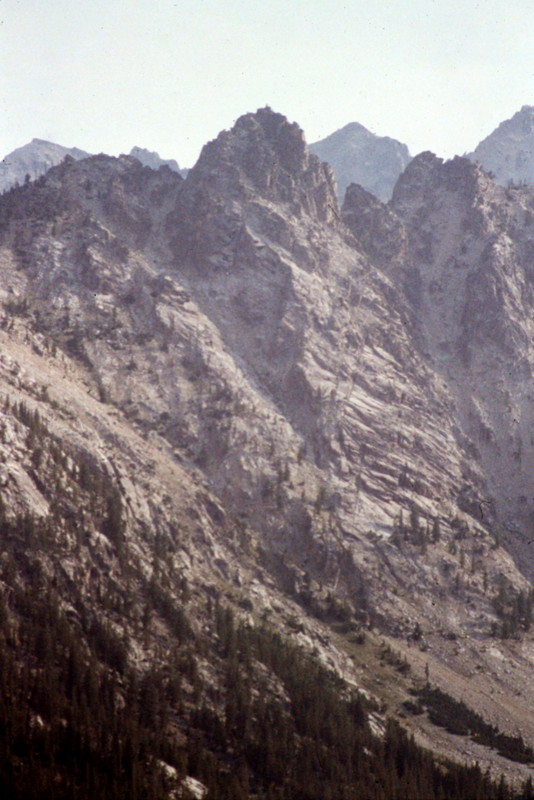
Blacknose is a tremendous viewpoint and is perhaps the best spot to view the forbidding Rakers.
North Raker as viewed from Blacknose Peak.
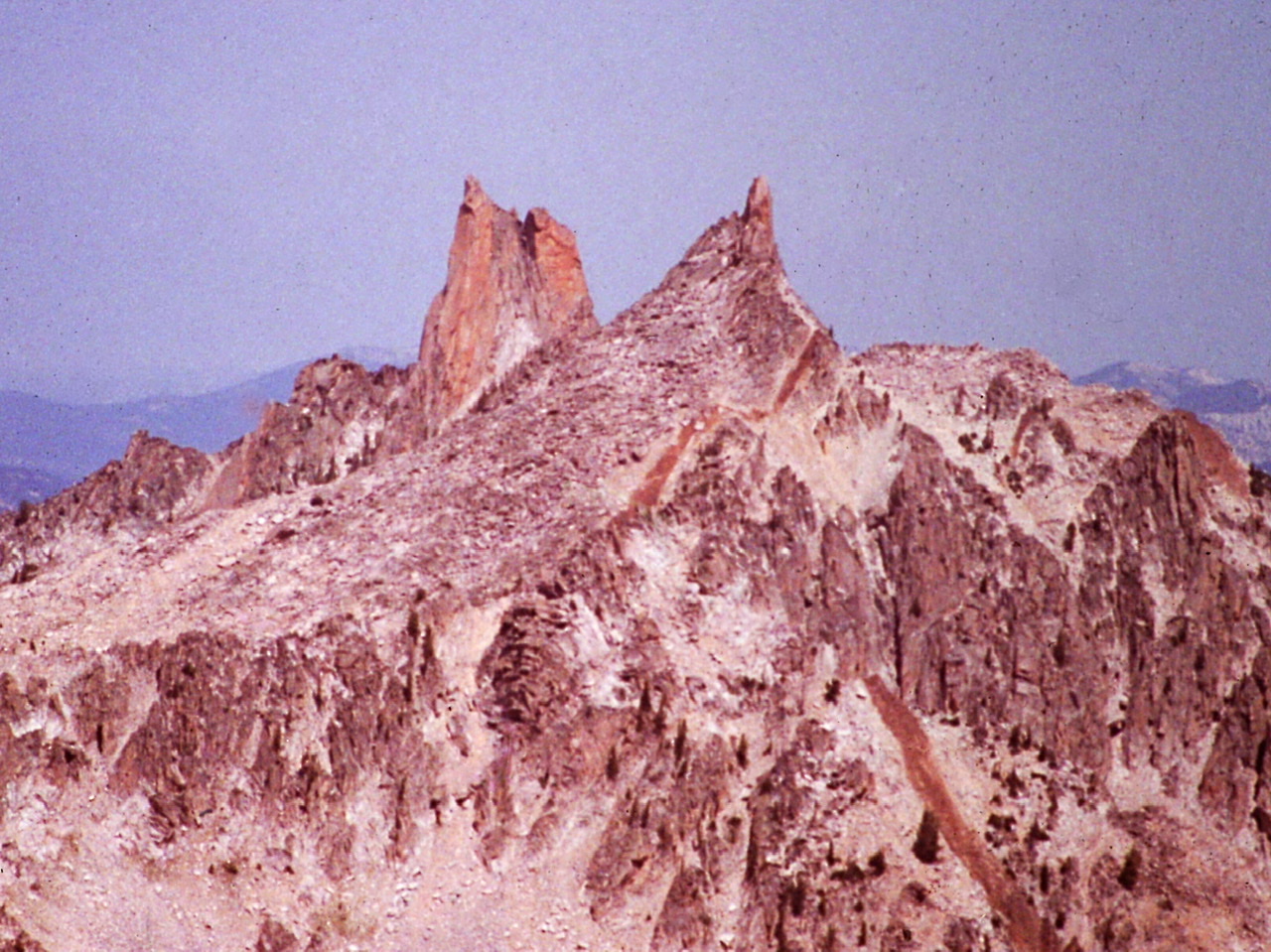
The Rakers
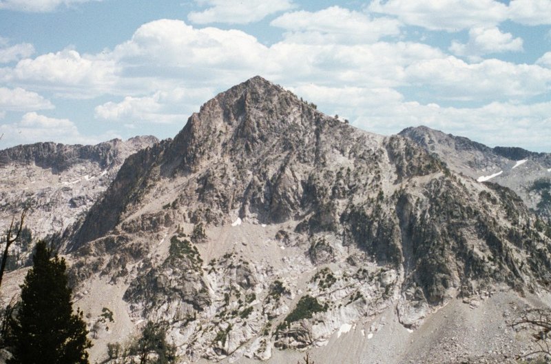
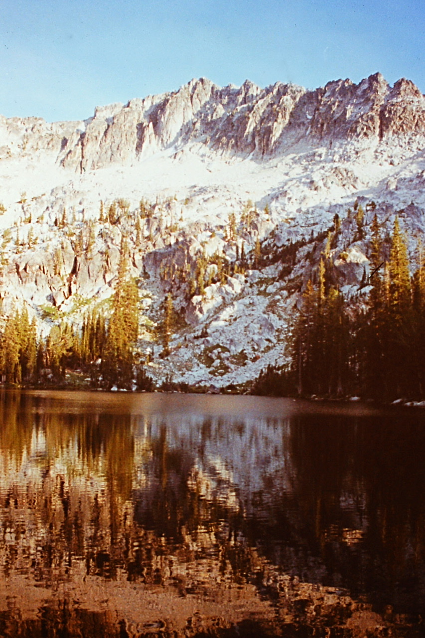
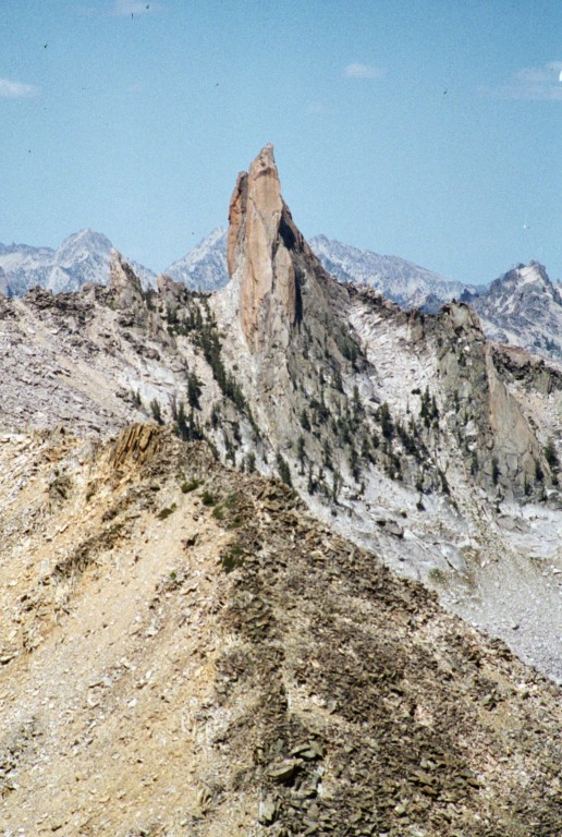
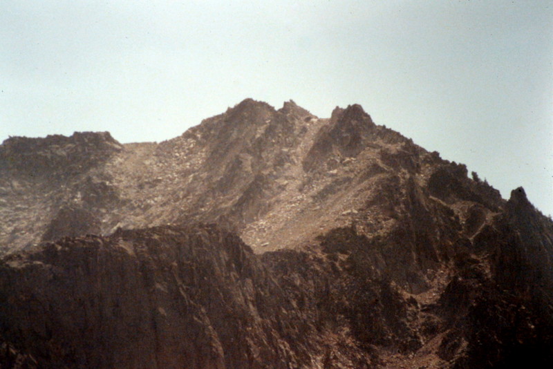
To the east, we could see the West Face of imposing Mount Everly. Our goal for the day was to camp on the East Side of Mount Everly.
Mount Everly as viewed from Blacknose Peak.
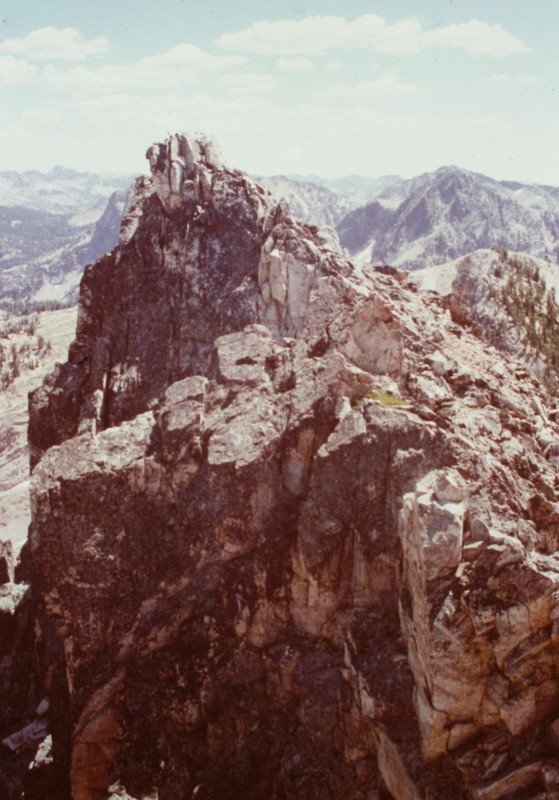
Back at the pass, we ate a snack. To our south, Peak 9704 waited. The peak’s Northeast Ridge involved a 500-foot climb up broken granite blocks. With no problems to solve along the way, we reached the top in short order.
Looking up the ridge from Queens Pass to Peak 9704, which is now unofficially known as Anderson Peak.
From Queens Pass, we descended into the Queens River drainage, losing roughly 800 vertical feet. The trail runs east to an 8,592-foot pass northeast of the Mount Everly summit and then drops down into the Benedict Creek drainage. After dropping off the pass, the trail quickly meets up with the trail to Everly Lake. We followed this trail up to the lake and set up camp. Our route for the day, including the 2 peaks, covered 7.0 miles.
The East Face of Mount Everly rising up from Everly Lake. The standard route climbs up this face.
August 7. We planned to camp a second night at Everly Lake so that we could climb the surrounding peaks. First up was Mount Everly (9,852 feet). Our route climbed up its East Rib and East Face which was a 2.0-mile round trip. At this point, inertia overcame ambition and reading/lounging next to the lake took over.
August 8. The day started and ended with a climb of Plummer Peak (9,978 feet) via its West Rib, a 2.2-mile round trip.
Gary Quigley navigating the summit ridge of Plummer Peak.
Plummer Peak as viewed from Mount Everly.
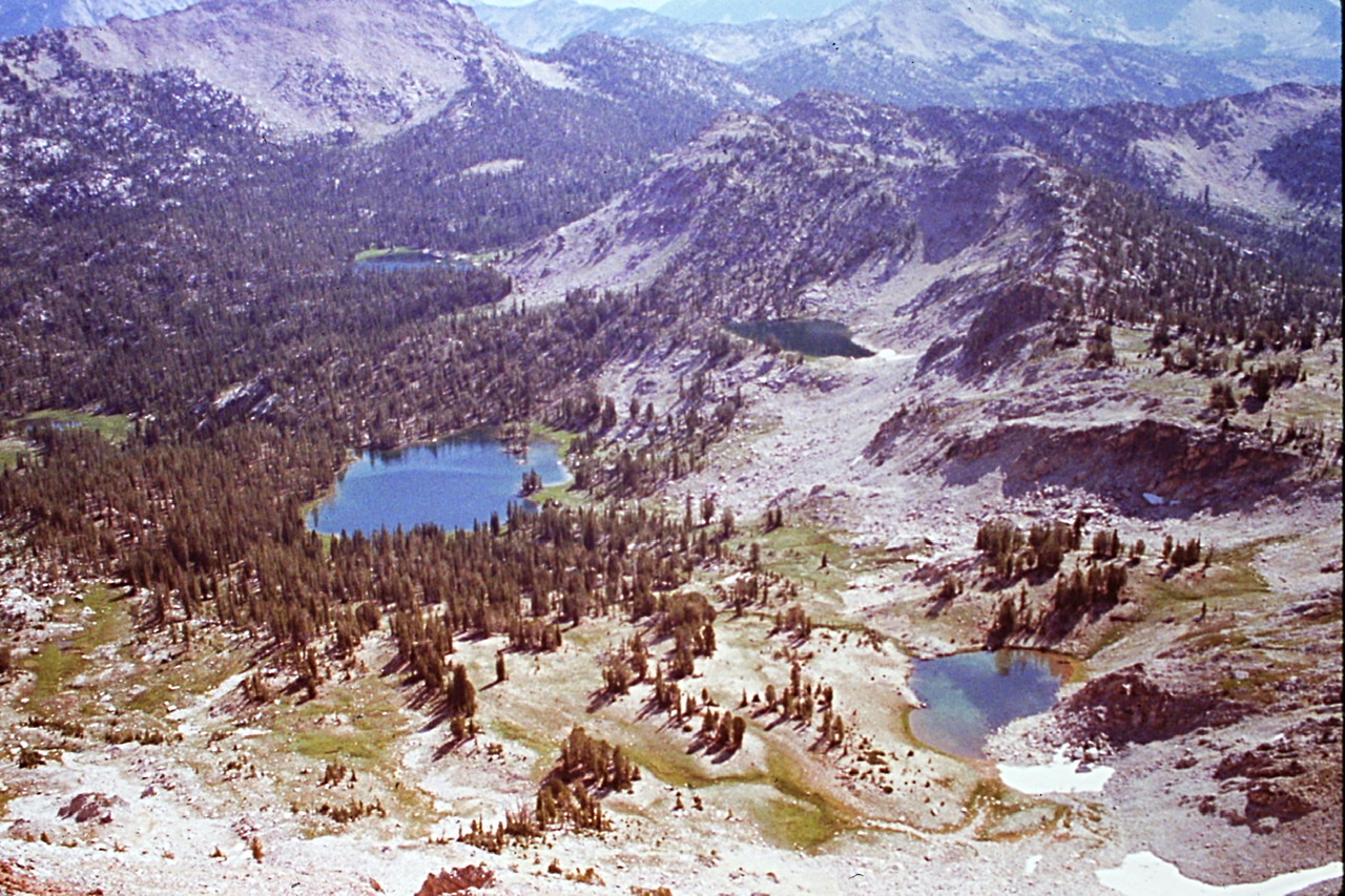
The lake basin northeast of Plummer Peak includes Three Island Lake.
The Everly Lake setting is as scenic as any place I have visited in Idaho. After the climb, it was time once again to rest and soak in the environment. This was our 6th day and we still had only encountered 2 other hikers.
August 9. After 2 laid-back days, it was time to start making progress toward Redfish Lake. Up early, we descended down Benedict Creek, losing a couple hundred vertical feet to a trail junction. We turned southeast and followed the trail up over an unnamed 8,895-foot pass located northwest of Spangle Lake. We started to encounter more hikers this day both hiking and camped in the Spangle Lake Basin. The hike from Everly Lake to Little Spangle Lake covered 6.7 miles.
It was on this hike that I spotted a rugged peak to the north, which I identified as Peak 9438. I was immediately drawn to the peak which I suspected was unclimbed. I vowed to come back and climb it. Life got in the way and it took me 21 years to fulfill my vow. In 2011, John Platt and I made the first ascent of the peak which we named JT Peak.
My first view of JT Peak in 1990 from Plummer Peak.
August 10. Our destination today was Hidden Lake. This day turned out to be the most physically demanding one of the entire trip. We climbed out of the Spangle Lake Basin to a 8,952-foot pass west of Glens Peak (10,053 feet). We dropped our packs and climbed the peak via its West Ridge. There was some smoke in the area but we had no idea from where it originated.
Glens Peak on a smoky day.
On the summit of Glens Peak.
Back at the pass, our route dropped 700 feet to Ardeth Lake and then immediately climbed up to the 8,866-foot pass above Ardeth Lake Basin and Ten Mile Creek. After a short break at Ardeth Lake, we once again had to ascend to another pass, this one at 8,952 feet.
Hiking above Spangle Lake.
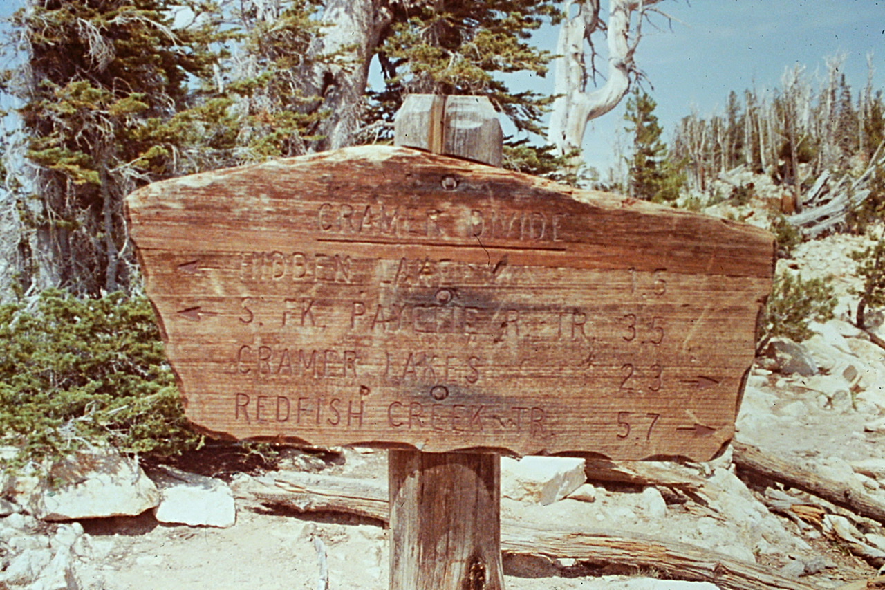
From Edna Lake, we hiked past Virginia Lake and finally reached the Mount Cramer Trail, the beginning of the end of our journey. Turning north on the Mount Cramer Trail, we hiked to Hidden Lake and set up camp.
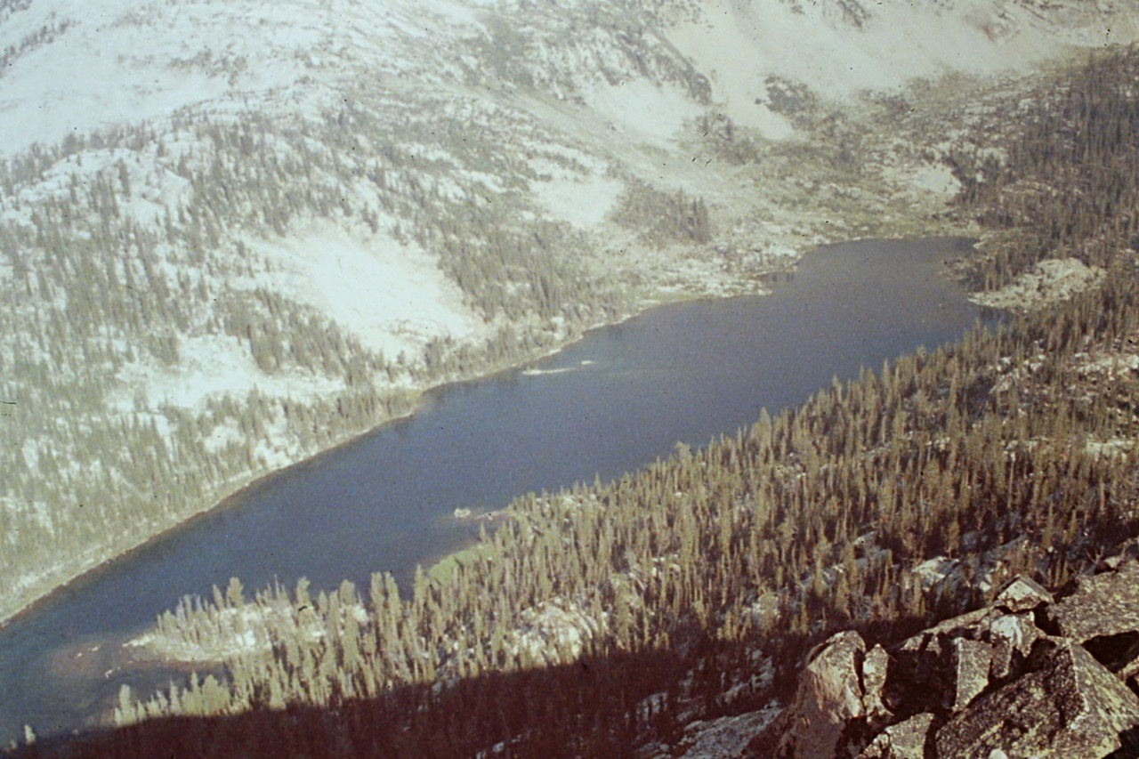
Hidden Lake as viewed from Payette Peak.
While we only covered 7.5 miles, the ups and downs made this a strenuous day. Unlike Ardeth Lake and Edna Lake, this lake was without campers. We were now so low on food that we had to ration our remaining supplies.
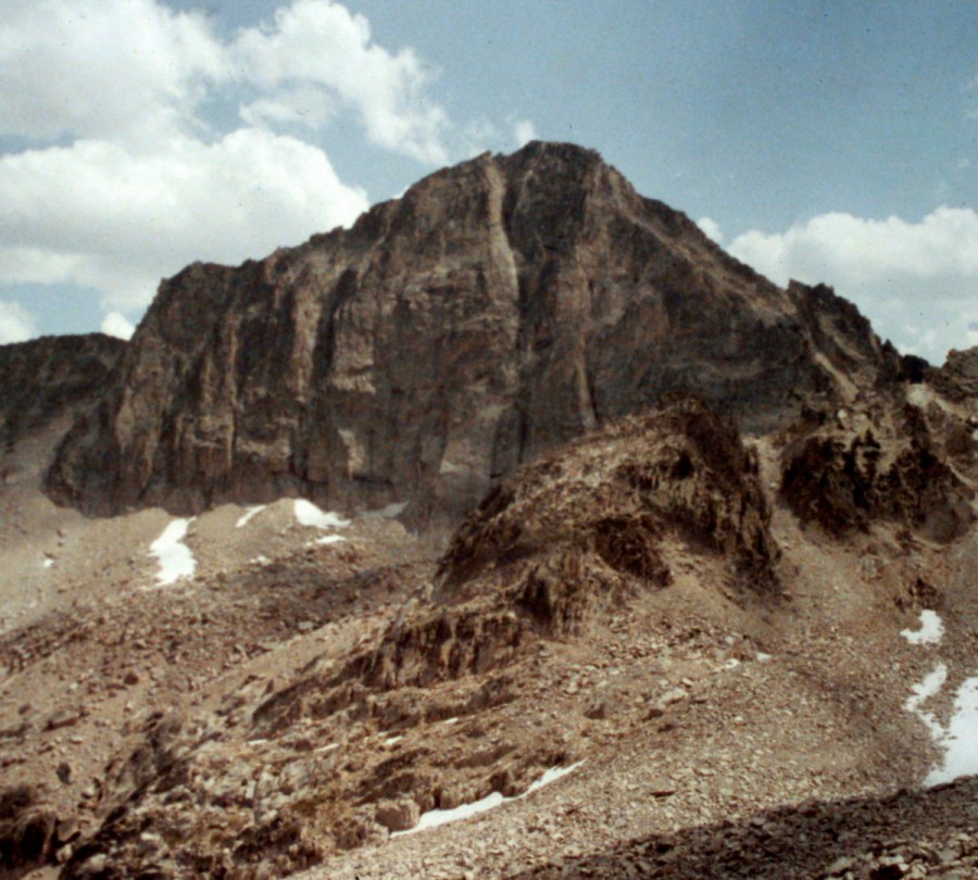
Payette Peak as viewed from the southwest.
August 11. We planned to break the last 15 miles to the Redfish Inlet boat dock into 2 days, stopping tonight at Upper Cramer Lake. We decided to start by climbing Payette Peak (10,211 feet). We hiked from the lake up the peak’s North Ridge. From the summit, we had an expansive view eastward across the Stanley Valley to the White Cloud Peaks.
Cramer Pass
Back at Hidden Lake, we broke camp and started the long haul up to 9,500-foot Cramer Pass. From the pass, we dropped down to Upper Cramer Lake where there were so many people that it was hard to find a campsite. It was a short day (only 5.8 miles) but on our now low-calorie diet, it seemed farther.
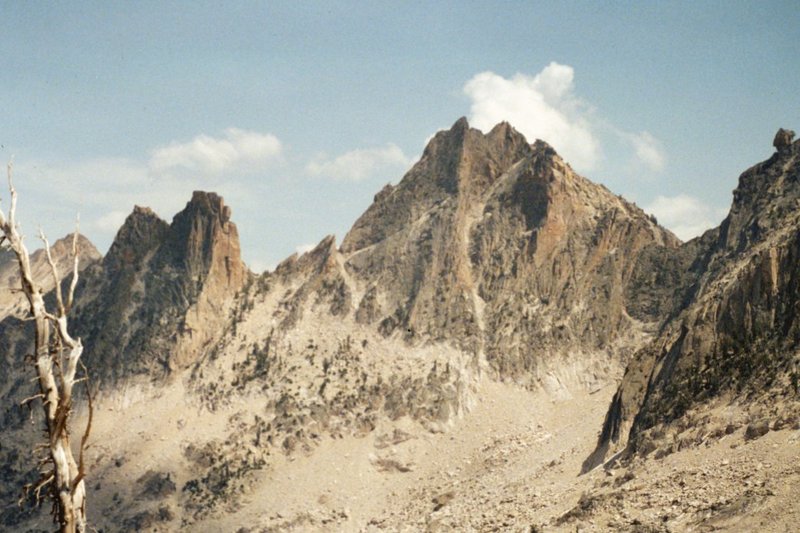
The West Face of Mount Cramer as viewed from Cramer Pass.
Mount Sevy as viewed from Cramer Pass
August 12. We had our last 2 candy bars for breakfast and then made the hike to Redfish Lake. It was an 8.8-mile walk through familiar territory and it was crowded. We were fortunate to reach the boat dock at the same time that a shuttle boat arrived. We arrived at the lodge area in time to take a shower before Gary’s parents arrived to pick us up and shuttle us back to Boise.
Next: A California 14er Extravaganza