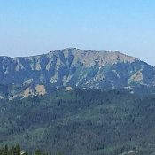
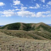
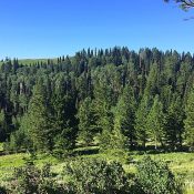
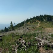
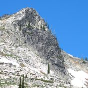
Peak 5587

This peak is not in the book. Livingston Douglas added updates on access, map errors, a new descent route, and new photos. Updated October 2025 Peak 5587 sits southeast of Grape Mountain and due south of Peak 5424. These 3 peaks surround the Trail Creek drainage. The peak was burned over at some point in the past. The forest is not … Continue reading

Peak 5453

This peak is not in the book. Elevation and prominence figures are based on recent LiDAR measurements. The map elevation is 5,440 feet. Livingston Douglas climbed the peak via the south ridge which was my descent route. He added a a description of that route and new photos. Updated October 2025 Peak 5453 is located east of Slide Gulch. The … Continue reading

Peak 6300

This peak is not in the book. Livingston Douglas added additional access and route information as well as new photos. Updated October 2025 Peak 6300 is located south of the Middle Fork Boise River. The peak is drained by Elk Creek, Corral Creek, and Alder Creek. USGS Twin Springs Access Access Peak 6300 from Middle Fork Boise River Road and … Continue reading

Peak 5424

This peak is not in the book. Livingston Douglas added two new photos. Updated October 2025 Peak 5424 is located west of Slide Gulch and south of the Middle Fork Boise River. The peak can be climbed from Trail Creek on the south or from the pass on the peak’s East Ridge. USGS Long Gulch Access Access the peak by … Continue reading

Peak 5762

Peak 5762. Photo - Steve Mandella

This peak is not in the book. There are two route descriptions set out below. The first by Livingston Douglas is the most current and is the recommended description because of his updates on access. The second by Margo Mandella describes the climb and includes photos that demonstrate the type of terrain the route crosses. Updated November 2019 Peak 5762 is … Continue reading

Peak 6495

Peak 6495. Photo - Steve Mandella

This peak is not in the book. There are two routes set out below. The first is the north ridge by Margo Mandella and the second by Livingston Douglas covers the ascent of the north ridge—WEST and descent of the north ridge—WEST/north face. As with most Pocatello Range peaks, access is problematic. Livingston’s access information is the most up-to-date and … Continue reading