Elevation: 5,424 ft
Prominence: 844
This peak is not in the book. Livingston Douglas added two new photos. Updated October 2025
Peak 5424 is located west of Slide Gulch and south of the Middle Fork Boise River. The peak can be climbed from Trail Creek on the south or from the pass on the peak’s East Ridge. USGS Long Gulch
Peak 5424
Access
Access the peak by taking the Middle Fork Boise River Road to Slide Gulch Road [(C)(1) on Page 154]. To climb the peak via its East Ridge, follow Slide Gulch Road/FS-113 southeast from the Middle Fork Boise River Road to the first pass, which sits between Slide Gulch and Elk Creek. There is room for two vehicles to park on the pass.
To climb the peak from Trail Creek, continue driving south on FS-113 over the pass to Trail Creek. Turn right onto Trail Creek Road/FS-221 and drive to the second big meadow where a side road proceeds toward the peak. Drive to the end of this two-track road and park.
East Ridge, Class 2
From the pass, follow the south side of the fence line up the ridge. The East Ridge leads all the way to the summit in a convoluted sort of way with plenty of ups and downs. There are game trails that you can follow in places. My GPS recorded 1.8 miles and 1,106 feet of total elevation gain and 299 feet of elevation loss one-way. Expect to work your way through brush in spots. As you approach the final slope, bypass the brush by keeping to the south side of the thicket.
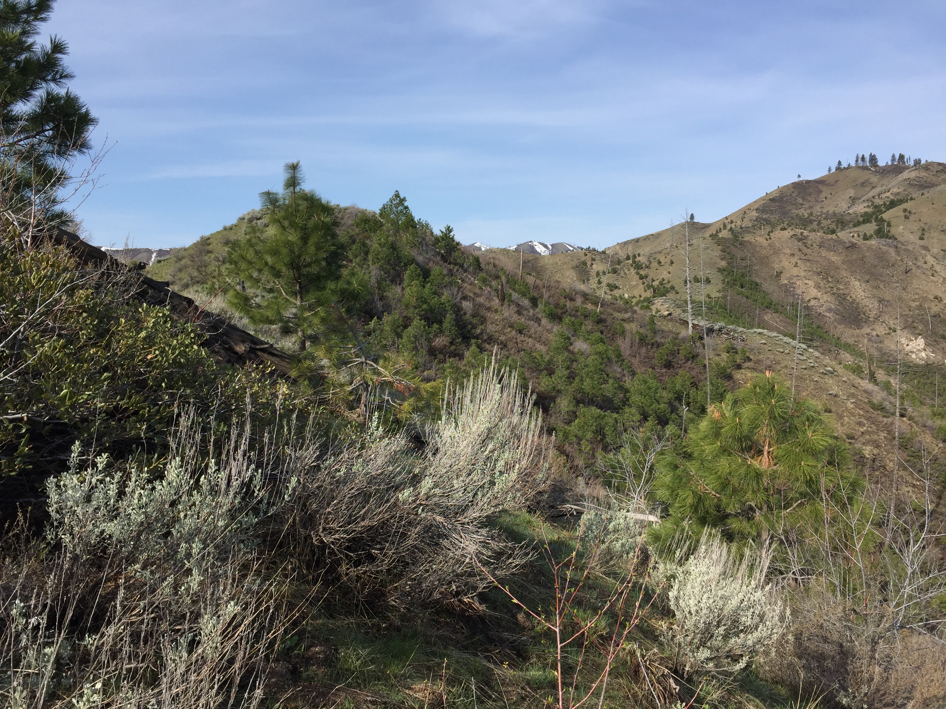
Looking up the lower east ridge
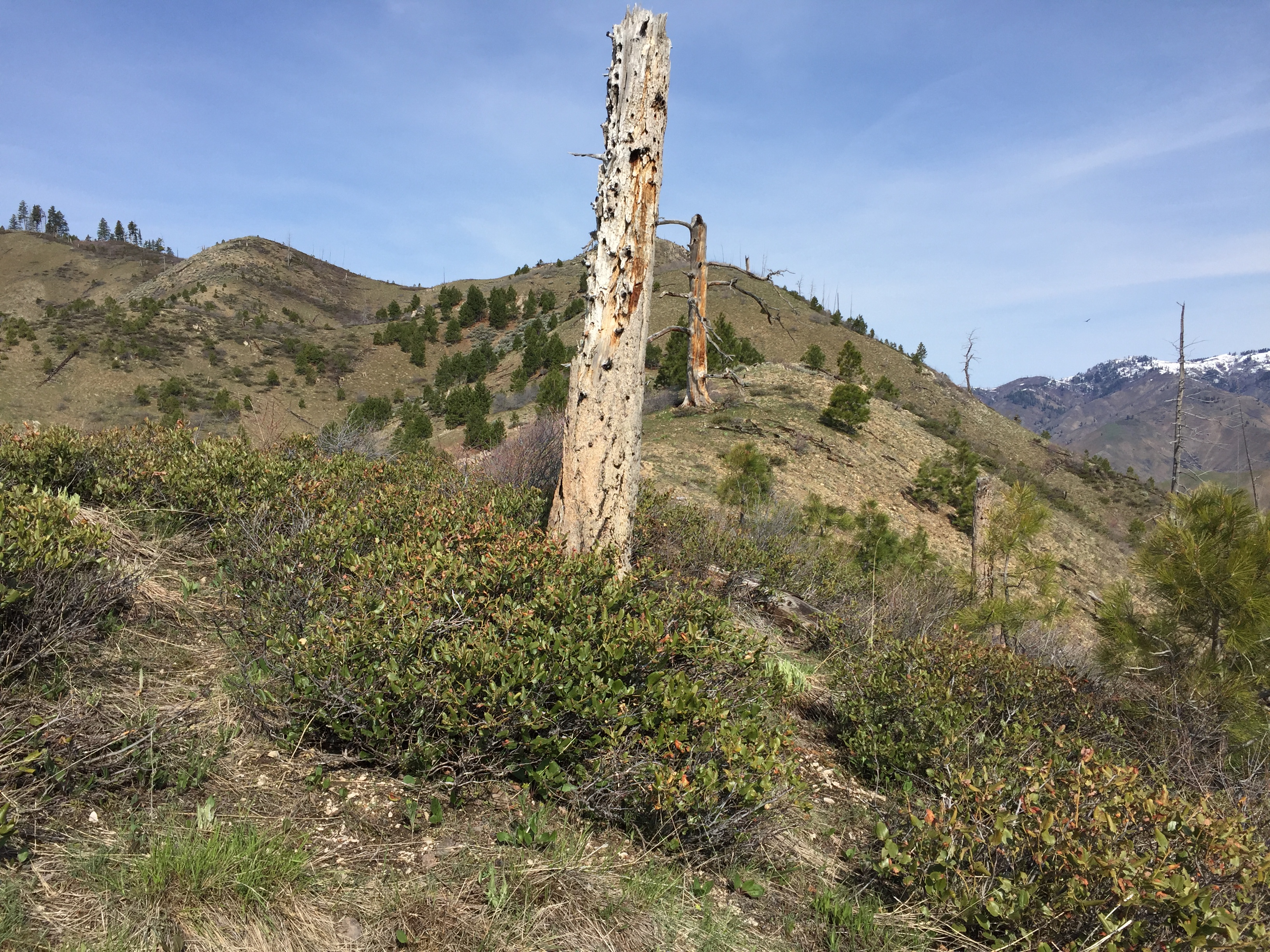
Midway up the east ridge
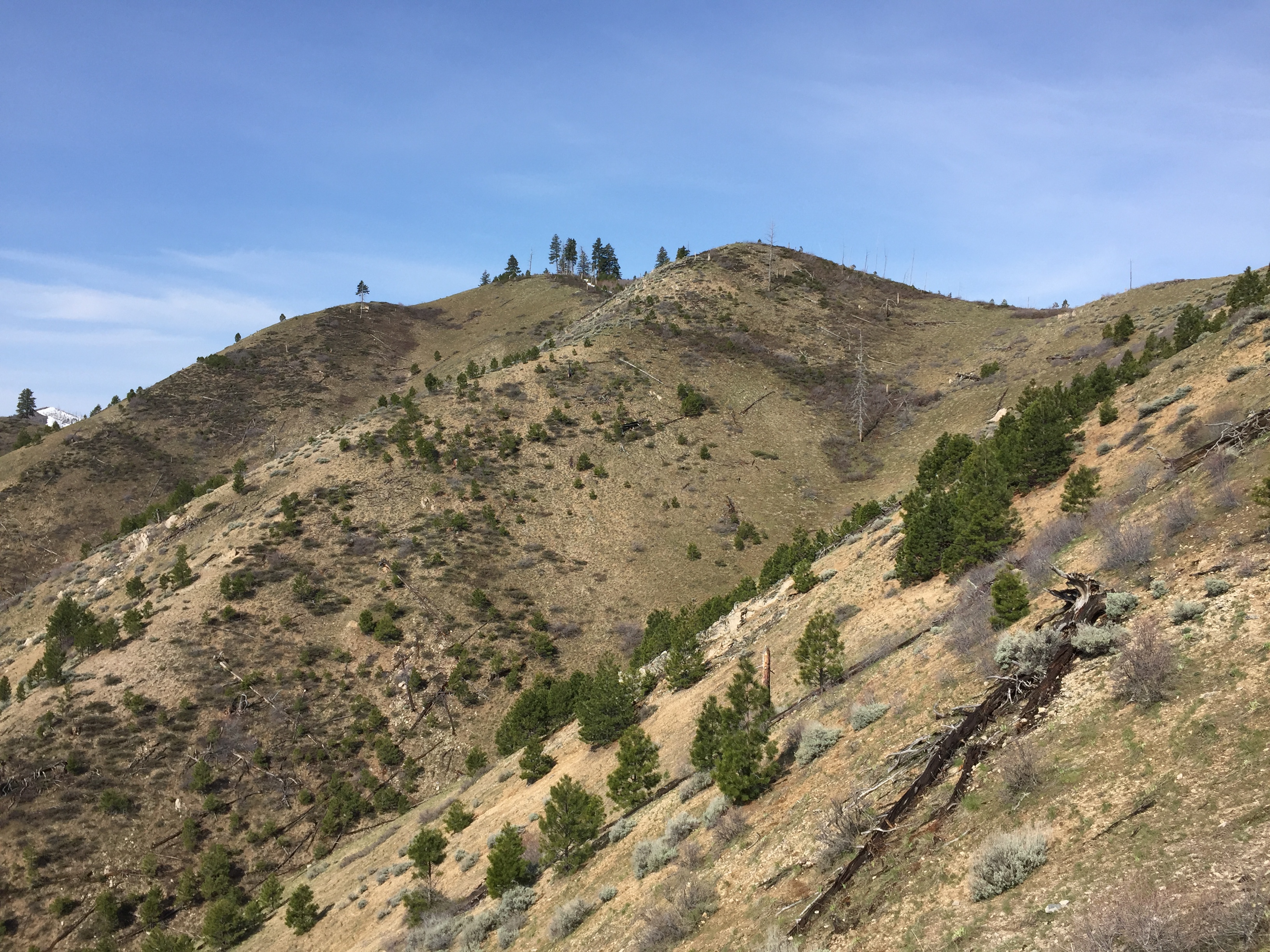
Nearing the summit
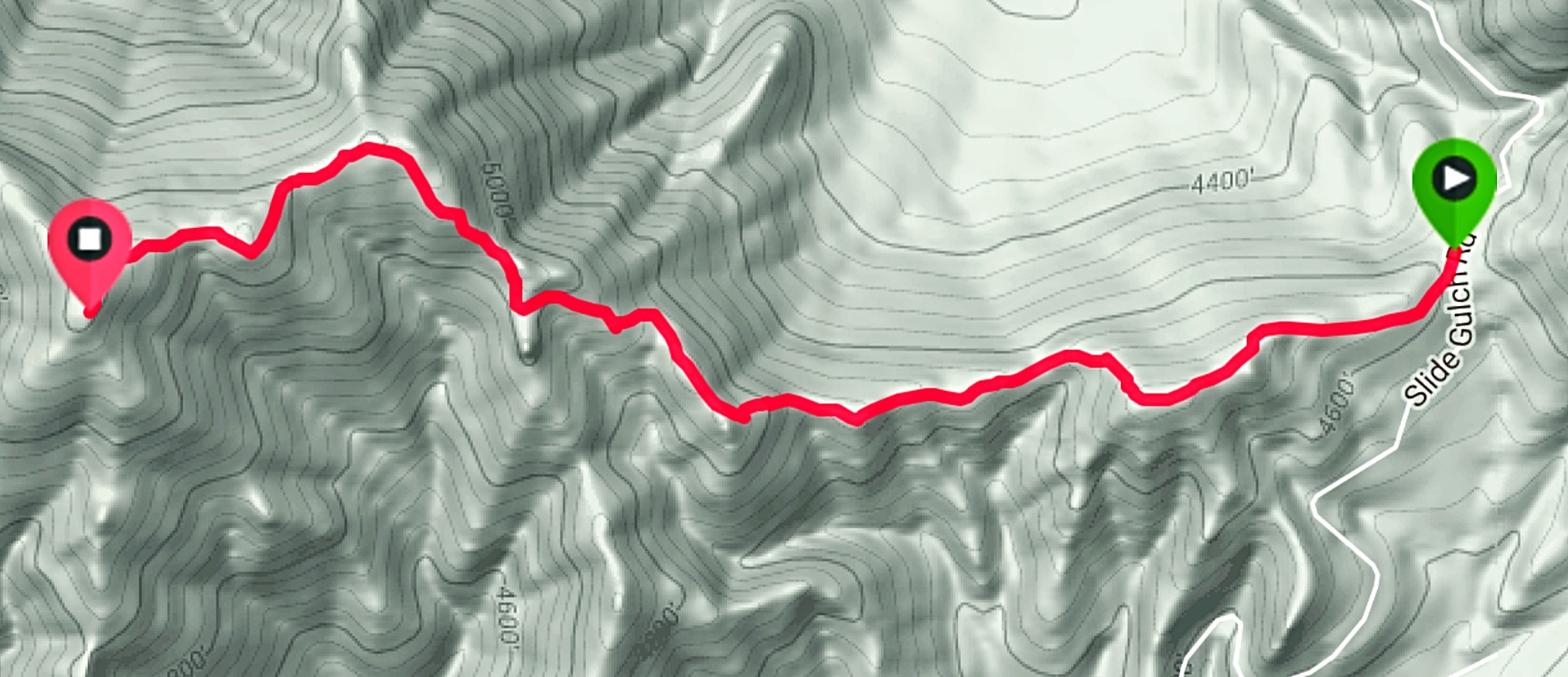
My GPS track
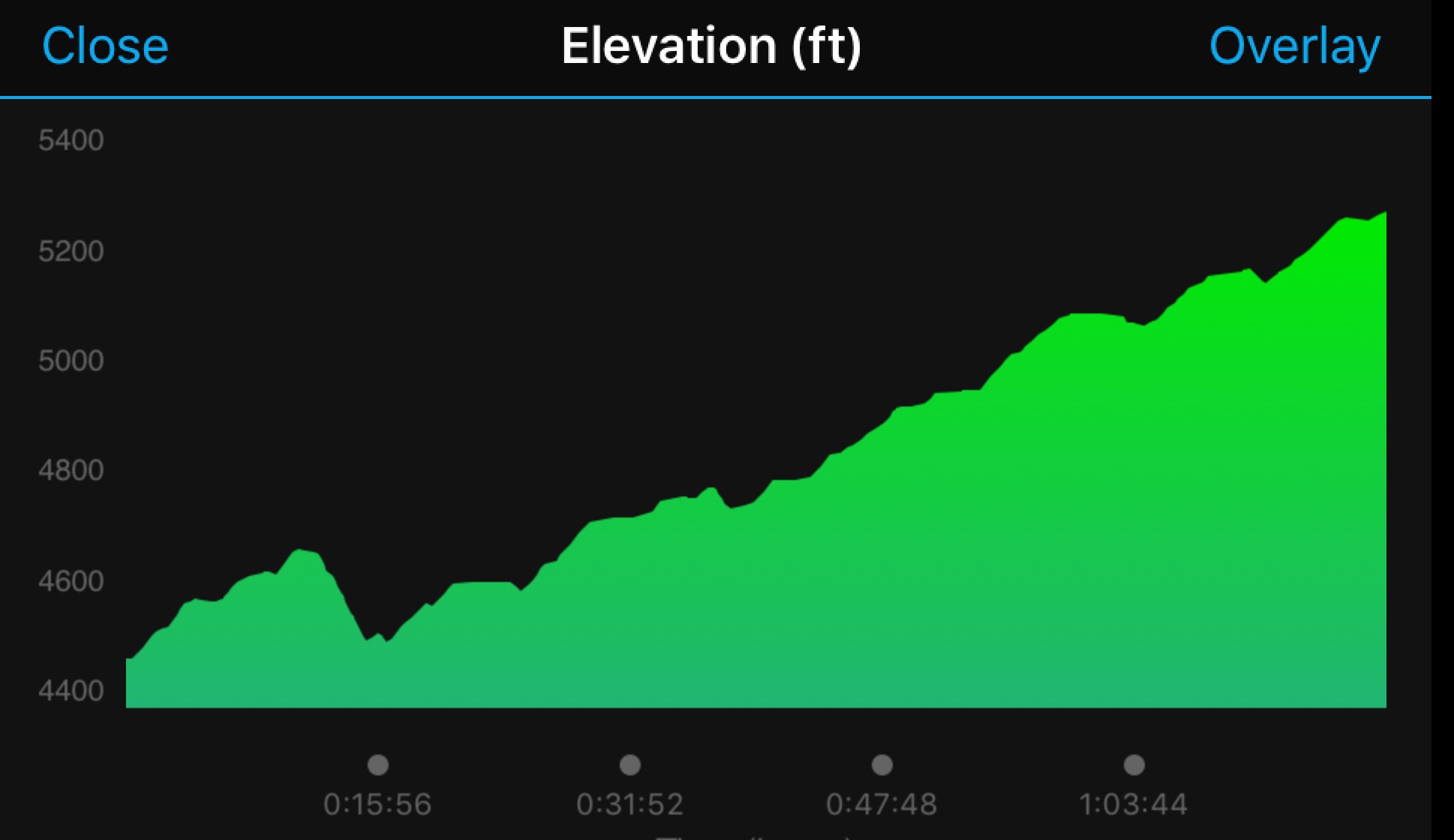
Elevation profile for the East Ridge Route
South Ridge, Class 2
The south ridge leads directly to the summit without all of the gyrations encountered climbing the East Ridge. The starting point is lower, but total elevation gain will be roughly the same because there are no significant drops along the way. Access the ridge from Trail Creek. Keep to the left of a prominent cliff band and follow the ridge to the summit.
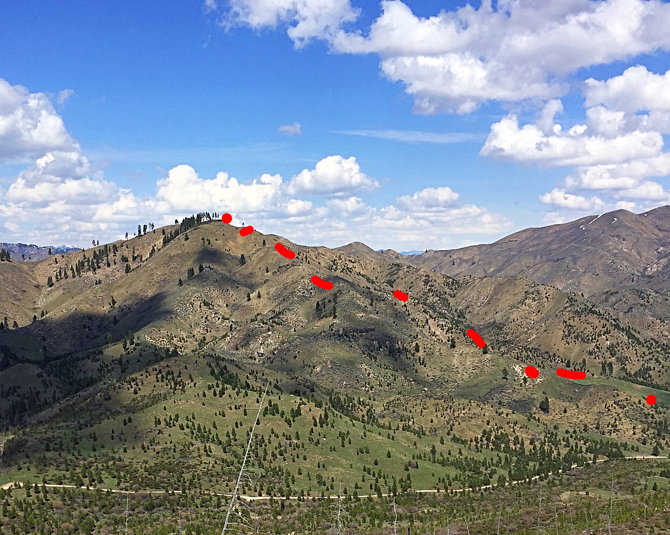
Peak 5424 as viewed from Peak 5587. The south ridge recommended ascent follows the red dots.
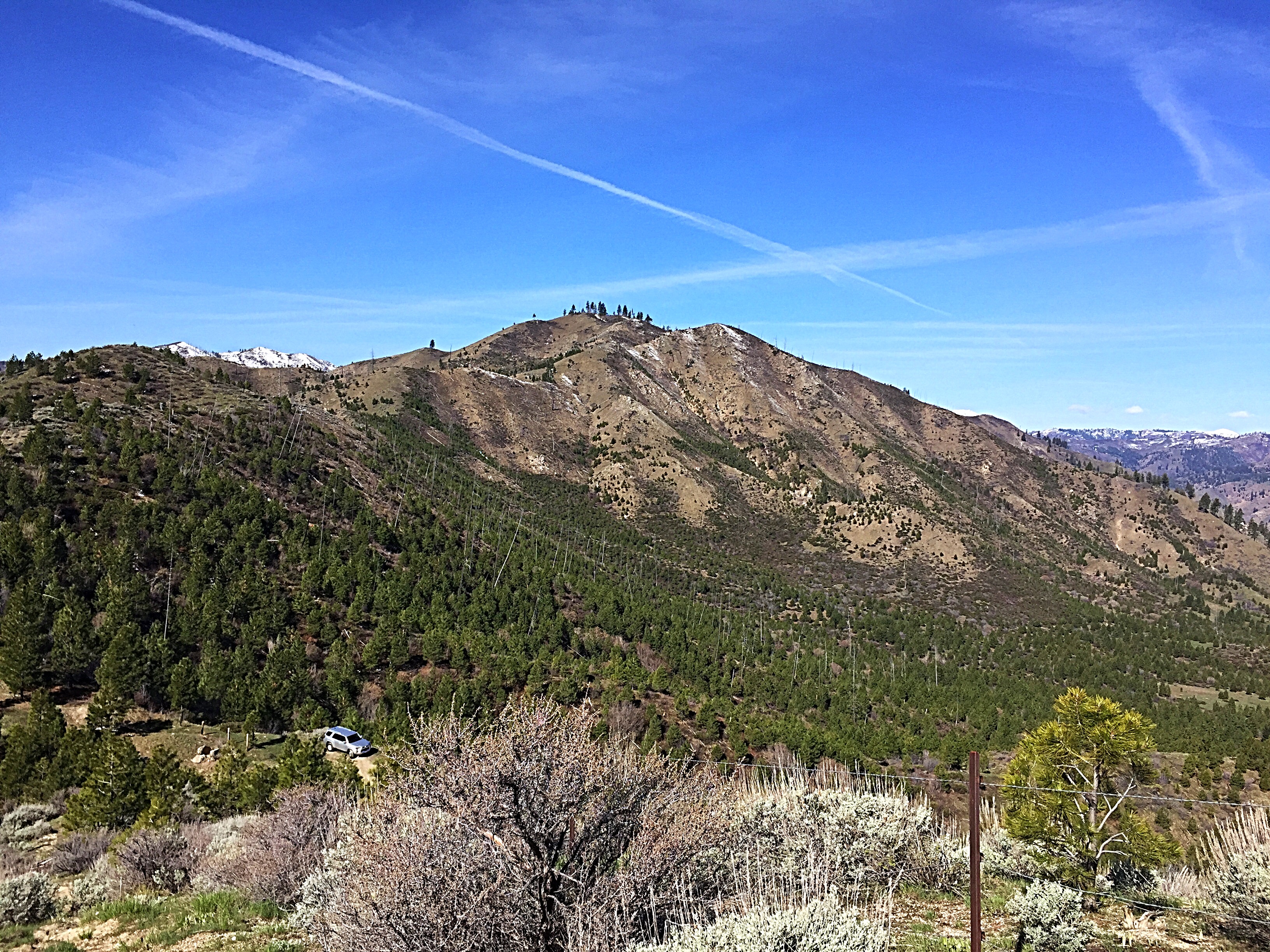
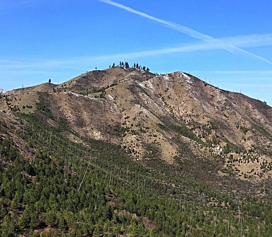
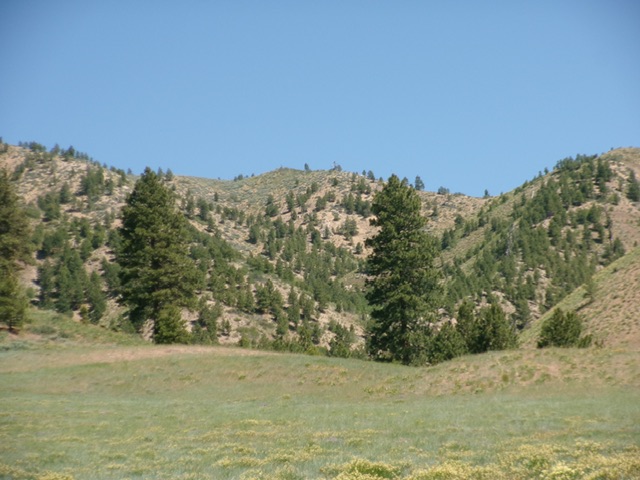
Peak 5424 as viewed from the east. My truck is parked on the pass.
Peak 5424 as viewed from FSR-221 to its south. Livingston Douglas Photo
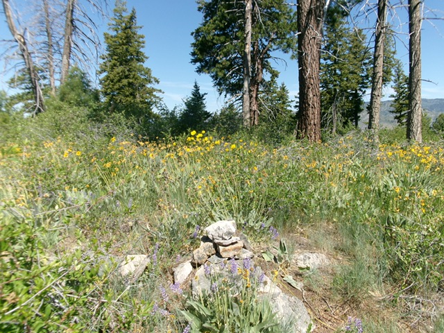
The brushy summit and its summit cairn. Livingston Douglas Photo
Additional Resources
Regions: Boise Mountains->WESTERN IDAHO
Mountain Range: Boise Mountains
Year Climbed: 2017
Longitude: -115.73159 Latitude: 43.62359