 My first backpacking trip was in Glacier National Park in 1971. I was a novice at the time but the trip taught me a lot about the glories of the Northern Rockies. I finally returned to the Park in 1995. We were hosted by Scott and Karin Bates in Whitefish (MT), a resort town similar to Ketchum (ID). We hiked to the top of Big Mountain on our first day. Big Mountain is a downhill ski hill. It is a long way to the top but the resort’s gondola was operating and we rode it down.
We used “A Climber’s Guide To Glacier National Park” by J. Gordon Edwards (1984) for route information. The most recent edition of the book was published in 1995. More recently (in 2011), Blake Passmore authored a superb 3-volume series entitled “Climb Glacier National Park.” I recommend using a guidebook as the routes are often steep, cross narrow ledges and climb through cliff bands. You need to find the correct spot to climb the cliff bands and the aforementioned guidebooks will help you get it done.There are a lot of challenging peaks in Glacier National Park. The Park is characterized by deep valleys and steep peaks. The best high access is from the Going-to-the-Sun Highway at Logan Pass. We climbed 4 peaks from the Logan Pass area.
September 11, 1995. Pollock Mountain (9,211 feet) via the East Couloir (Class 3). Piegan Mountain (9,230 feet) via its West Slopes. Both peaks are accessed from the Going-to-the-Sun Highway east of Logan Pass.
Starting up Pollock Mountain.
Pollock Mountain as viewed from Mount Reynolds.
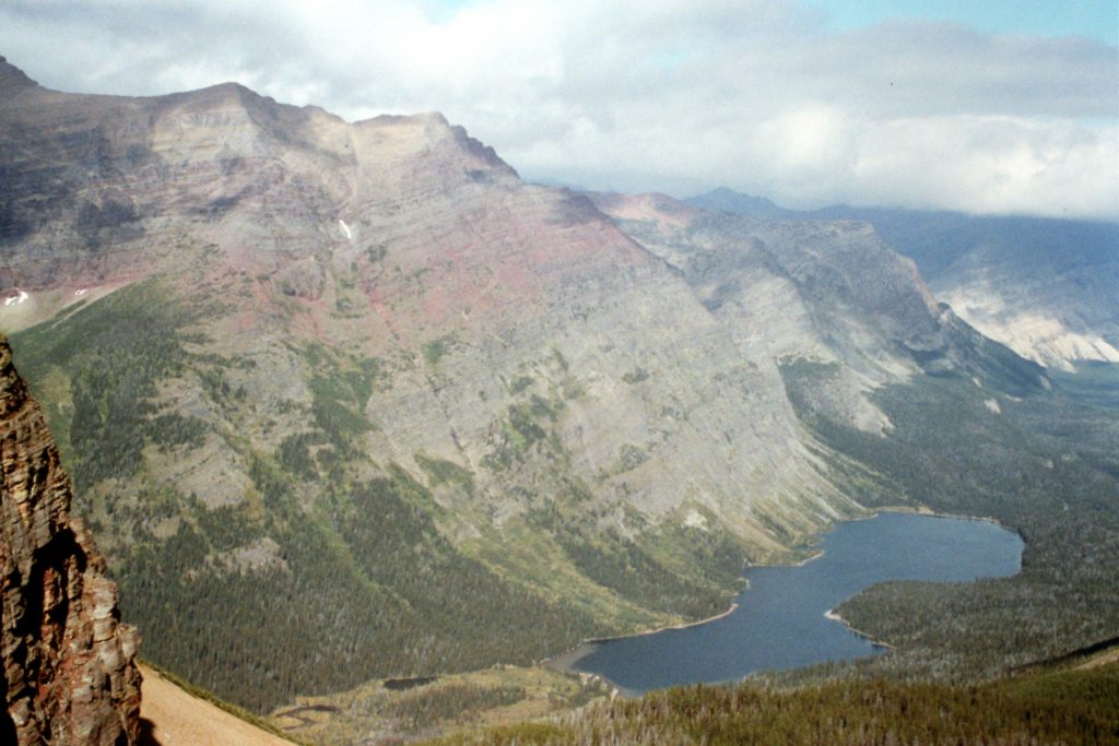
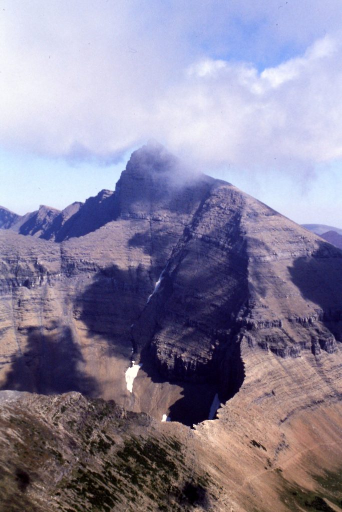
Pollock Mountain as viewed from Piegan Mountain.
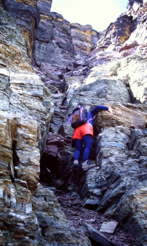
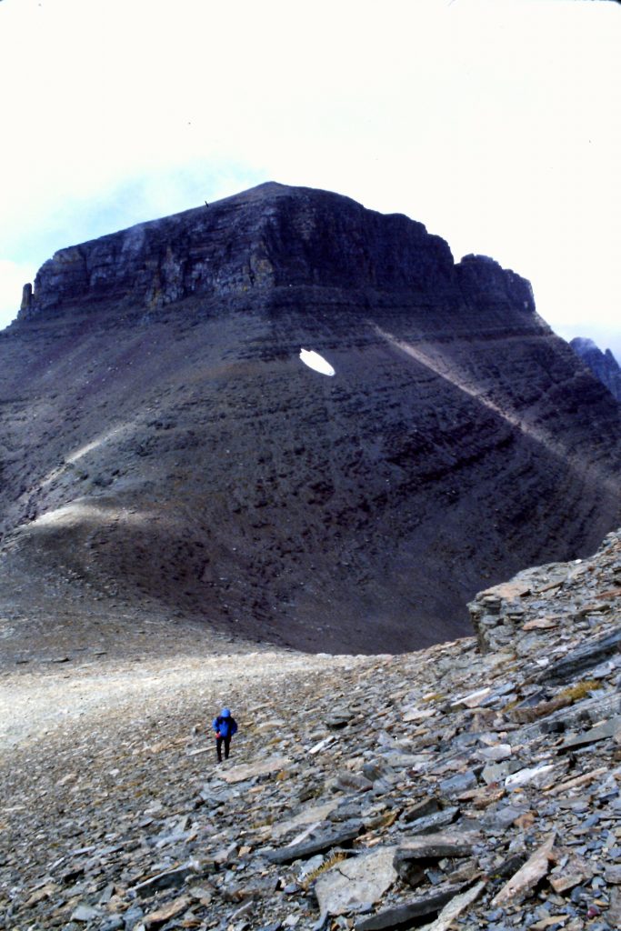
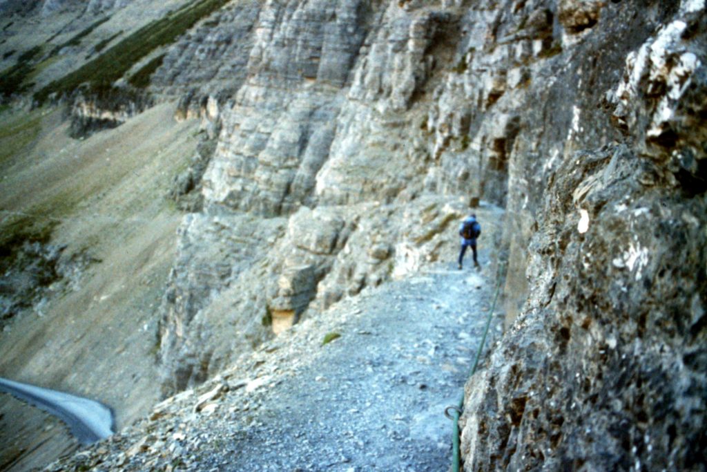
Climbing the cliff bands on Pollock Mountain.
Climbing the East Couloir on Pollock Mountain–the crux.
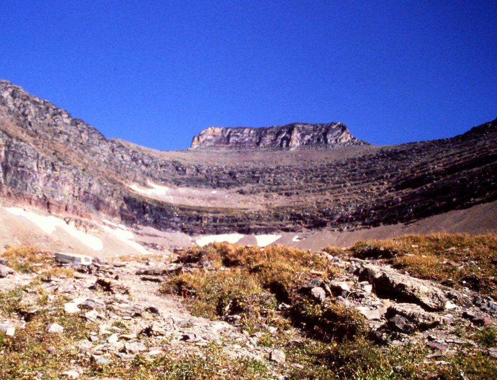
Following the ridge up to the cliff bands.
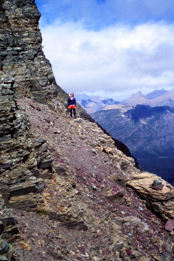
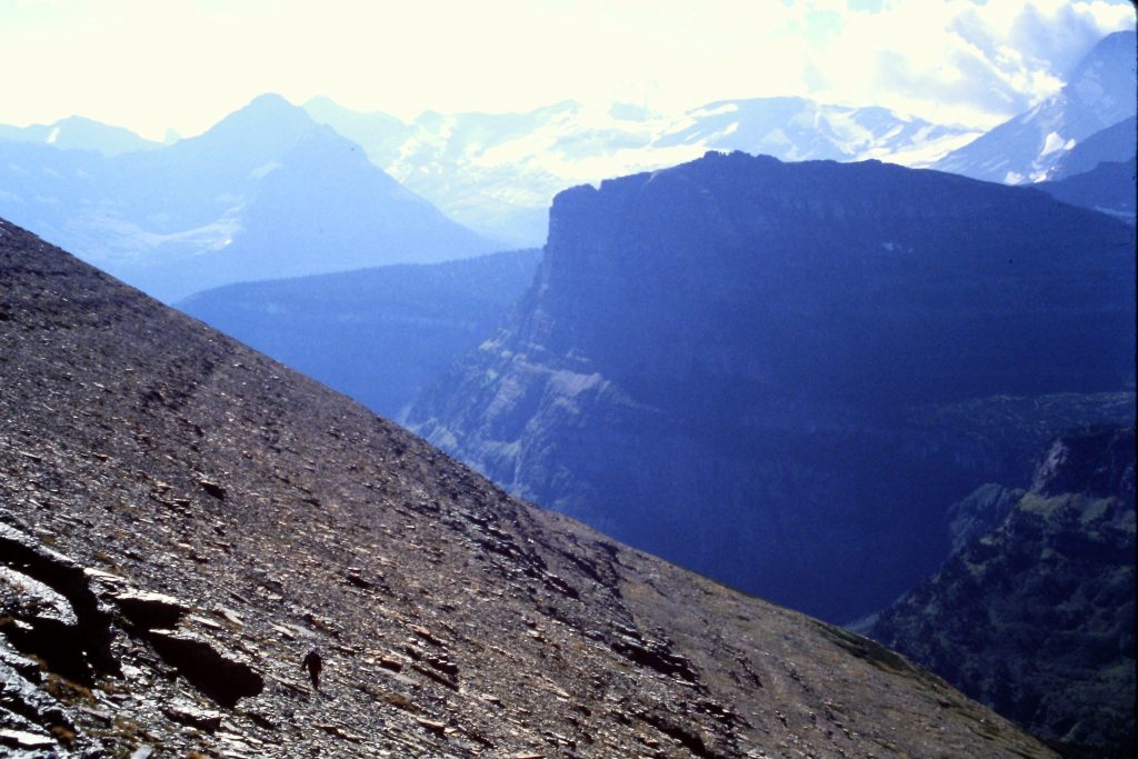
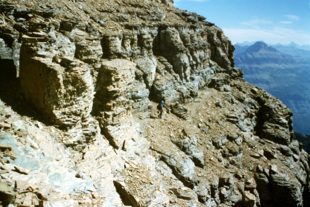
Looking out in the distance from a narrow ledge on Pollock Mountain.
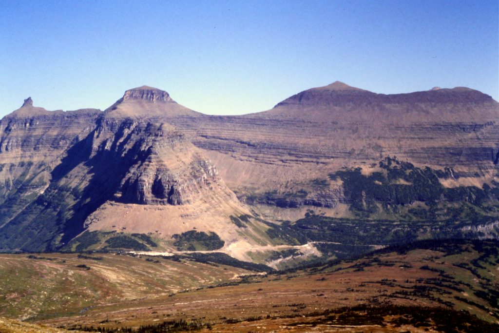
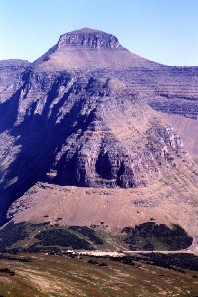
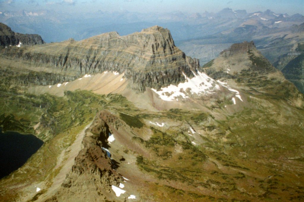
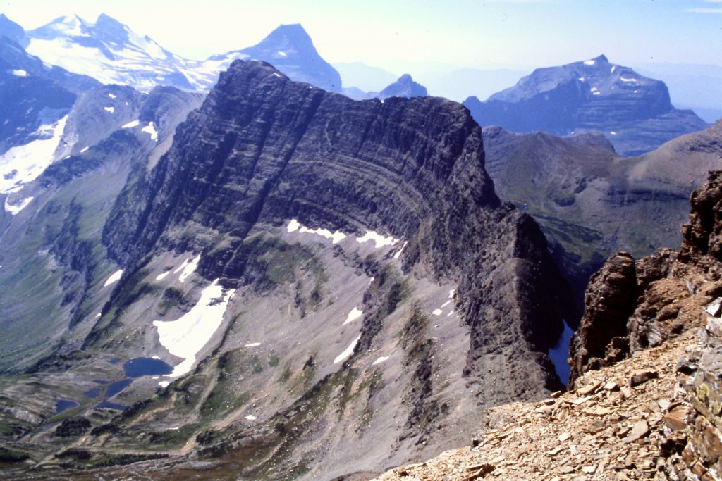
Pollock Mountain (left) and Piegan Mountain (right).
Ascending Piegan Mountain with Pollock Mountain in the background.
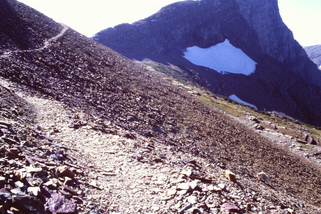
Crossing talus.
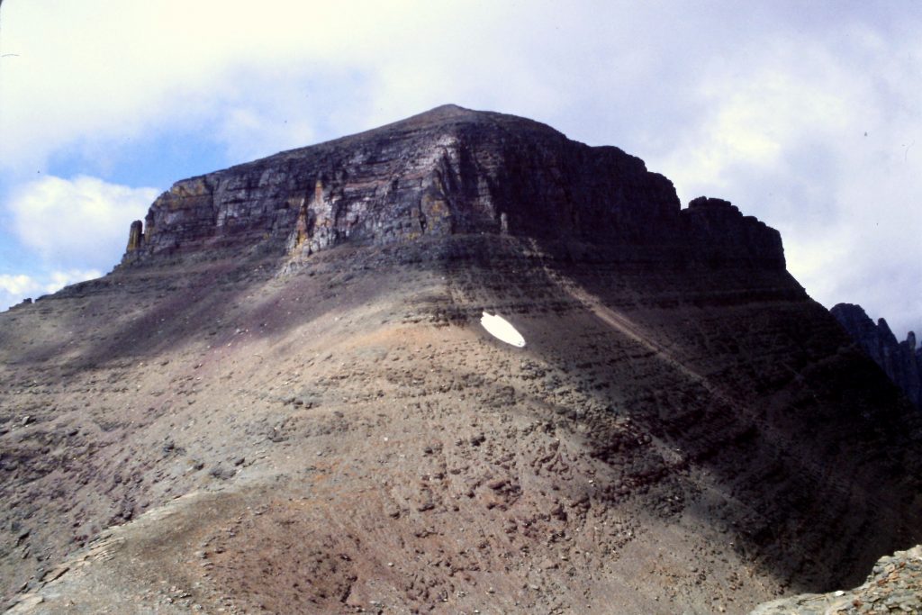
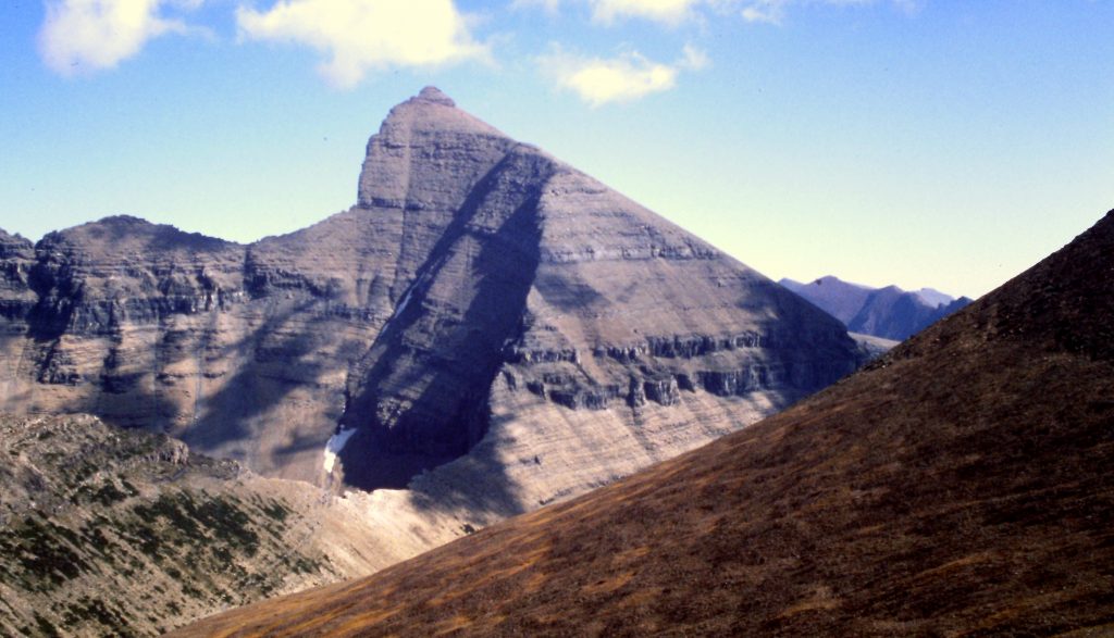
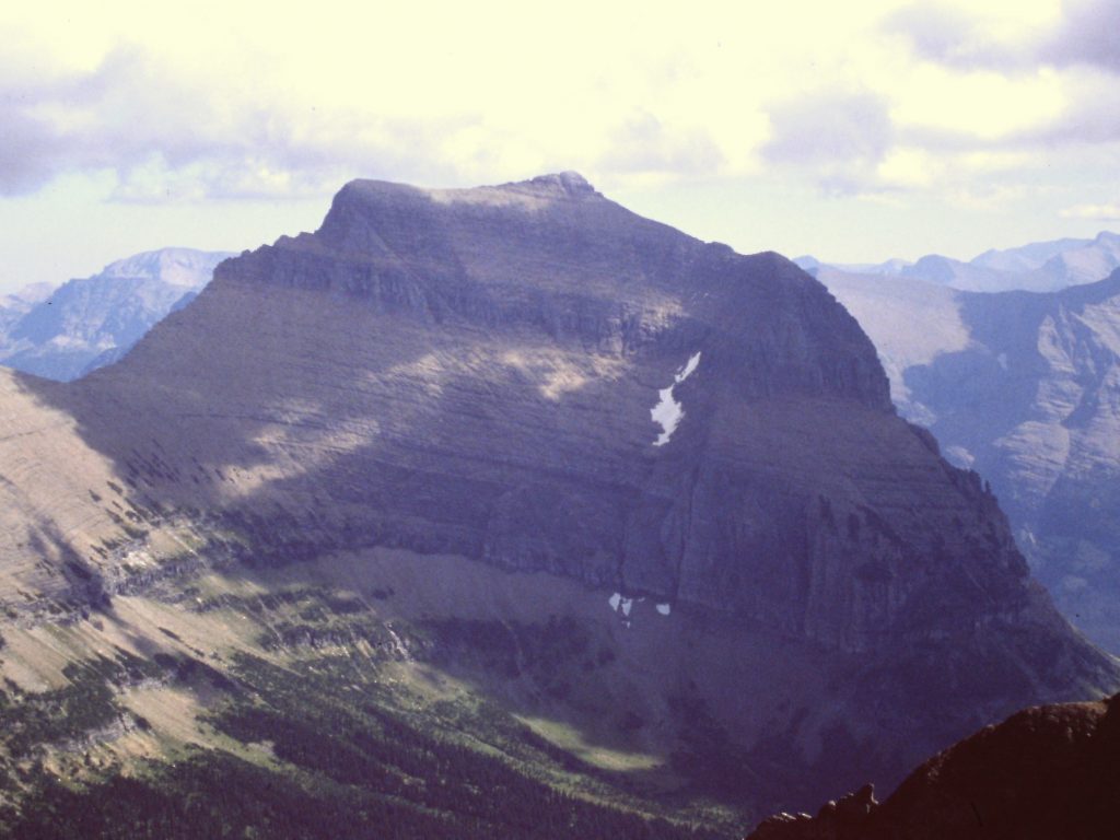
Piegan Mountain as viewed from Pollock Mountain.
September 12. Mount Reynolds (9,125 feet) via the Southwest Face which is accessed from Logan Pass and the Hidden Lake Trail. Class 3.
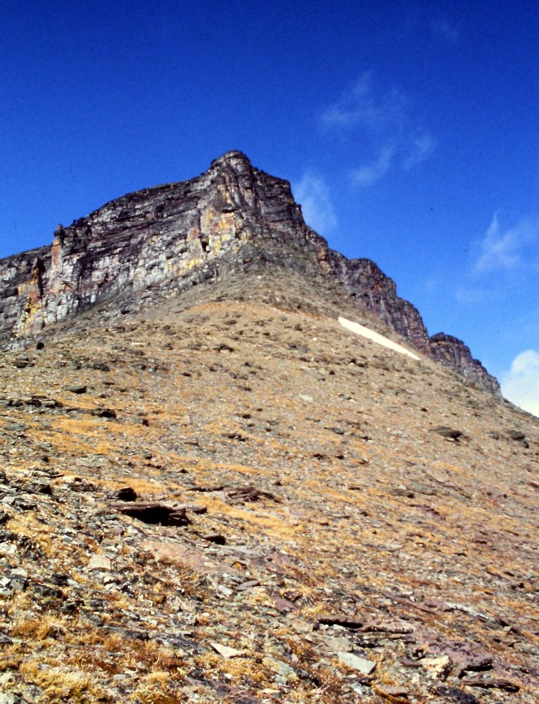
Mount Reynolds
A game trail on the lower slopes of Mount Reynolds.
Working our way across the South Face of Mount Reynolds.
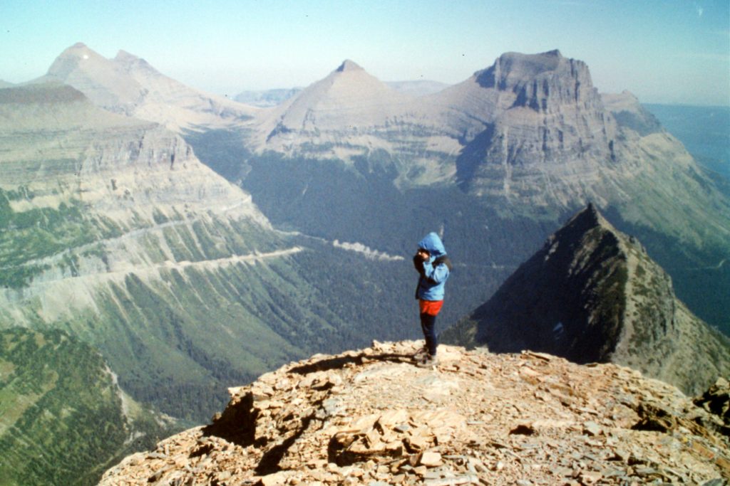
The summit of Mount Reynolds.
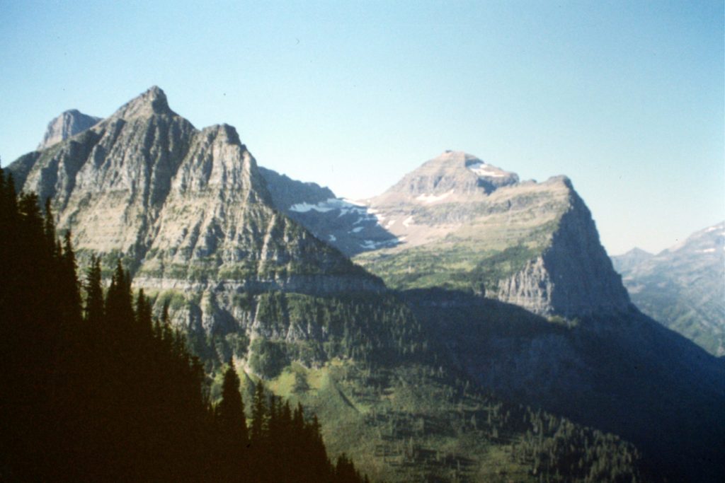
Clements Mountain as viewed from Mount Reynolds.
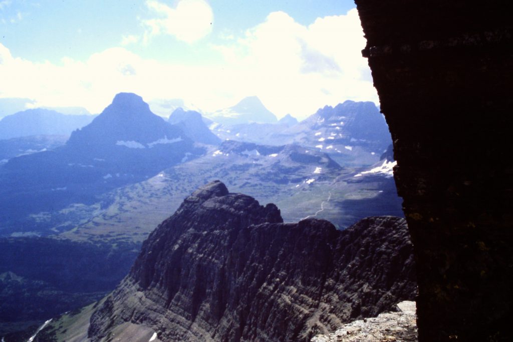
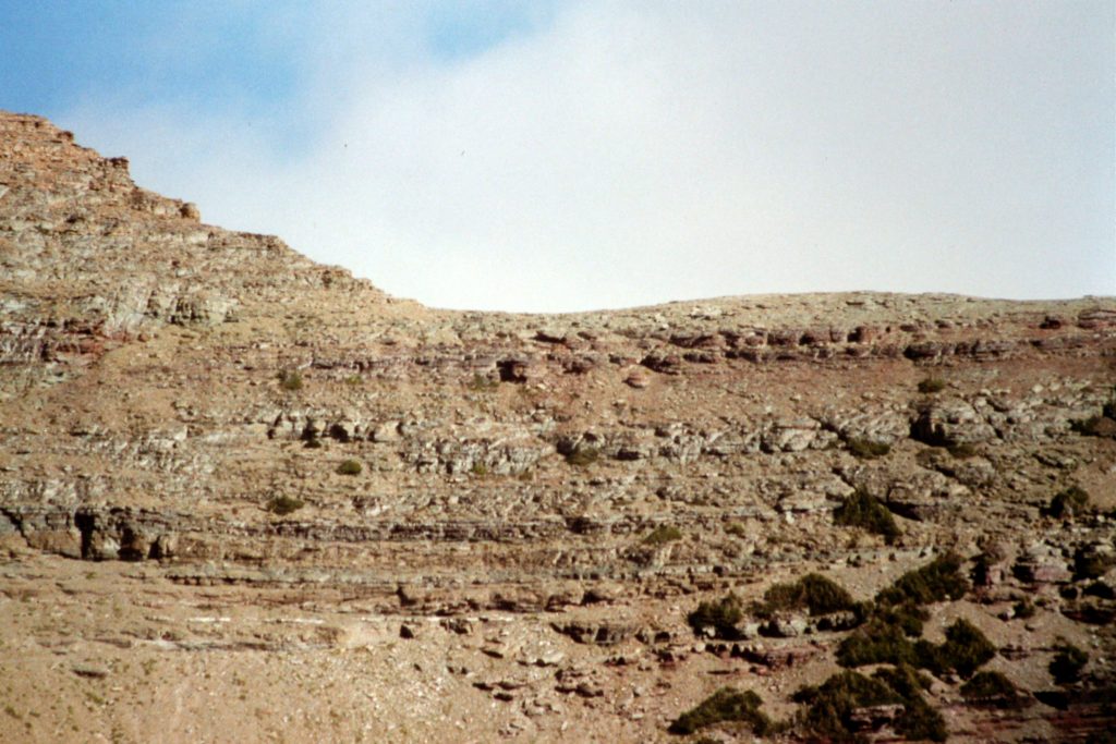
Glacier National Park is a vertical world broken by deep valleys.
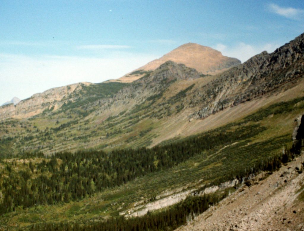
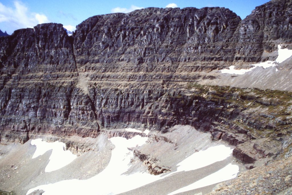
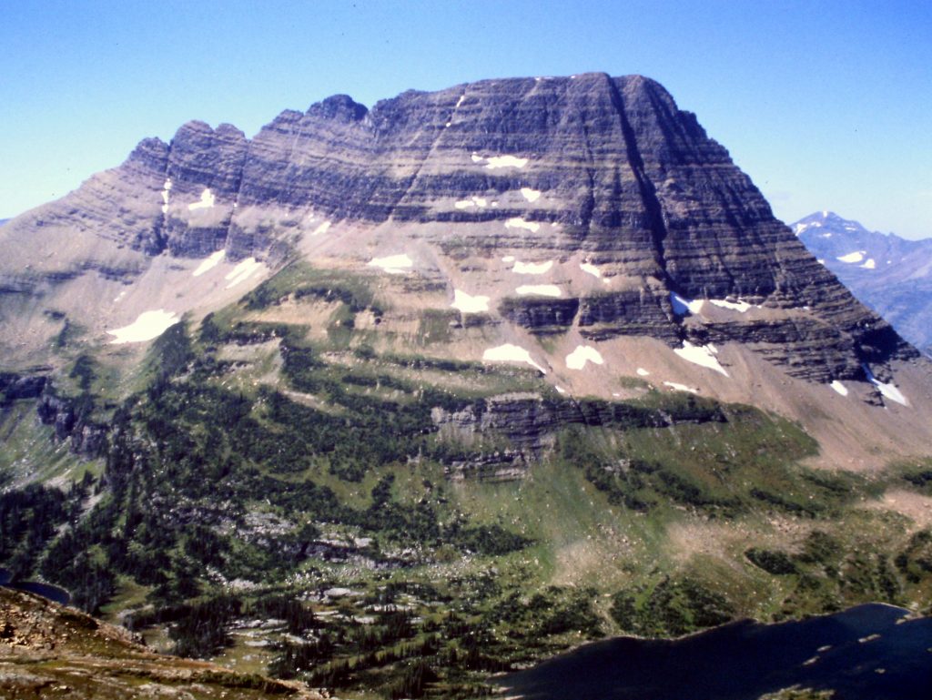
Cataract Mountain
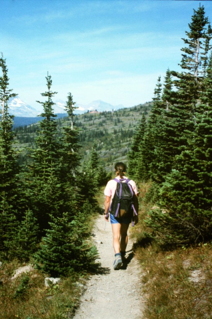
September 13. Logan Pass to Granite Park Chalet and the Loop on the Going-to-the-Sun Highway with a side trip to Swiftcurrent Mountain (8,436 feet) via the trial.
Swiftcurrent Mountain
Hiking along the Garden Wall Trail.
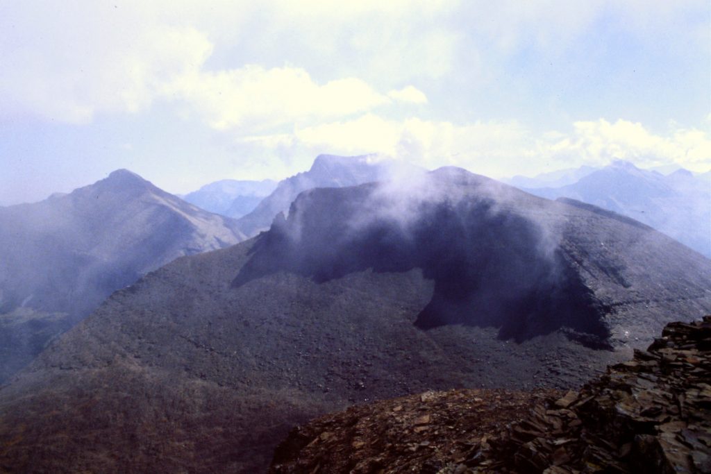
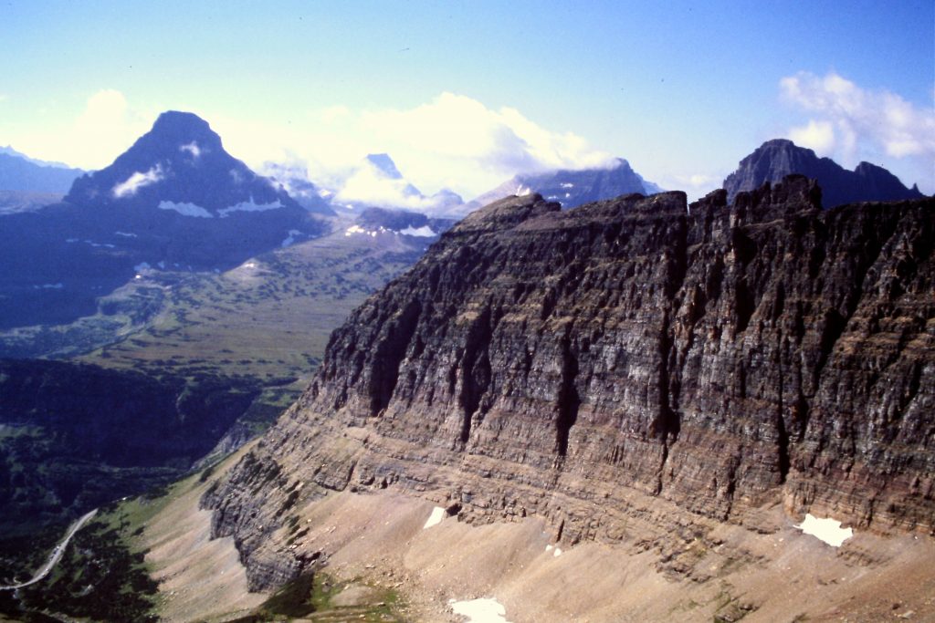
The Garden Wall as viewed from Pollock Mountain.
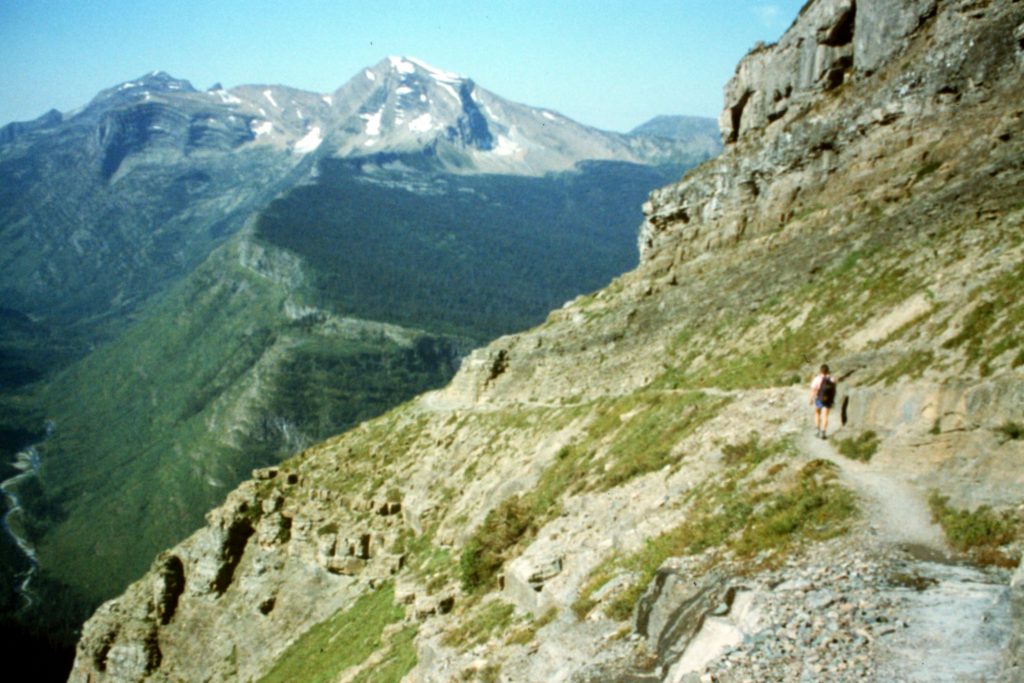
The Garden Wall Trail
Hiking toward the Granite Park Chalet.
Swiftcurrent Pass
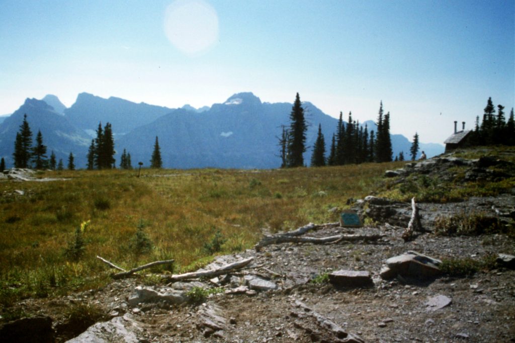
Approaching the Granite Park Chalet.
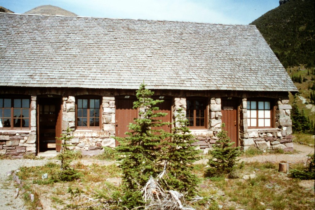
The Granite Park Chalet
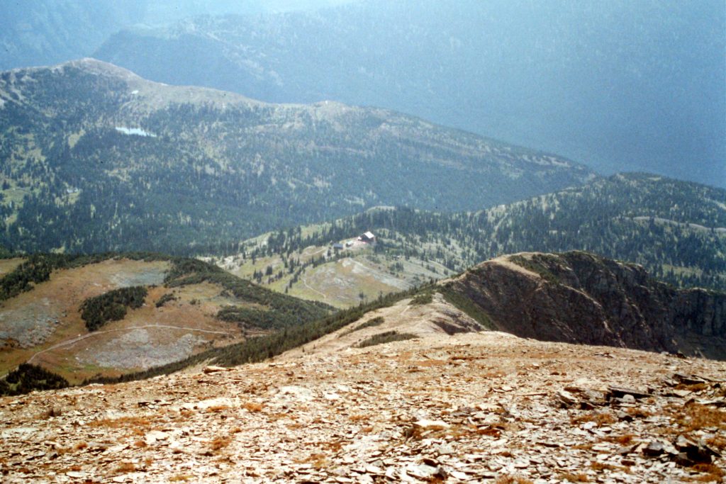
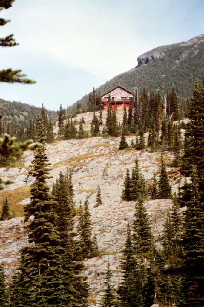
Looking back to the Granite Park Chalet from the ridge leading to Swiftcurrent Mountain.
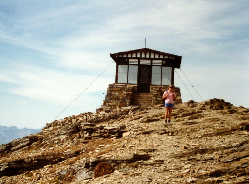
The summit of Swiftcurrent Mountain.
September 14. Crowfeet Mountain (8,914 feet) via the North Ridge and West Face from Ptarmigan Tunnel. The summit tower is Class 3.
The headwall above Ptarmigan Lake. The Ptarmigan Tunnel is the dark spot below the top.
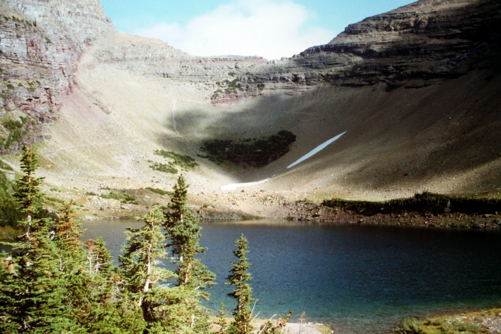
Ptarmigan Lake
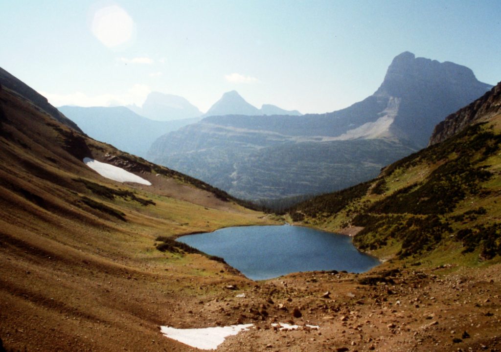
Ptarmigan Lake as viewed from the Ptarmigan Tunnel.
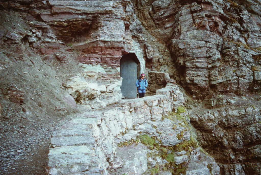
The entrance to Ptarmigan Tunnel.
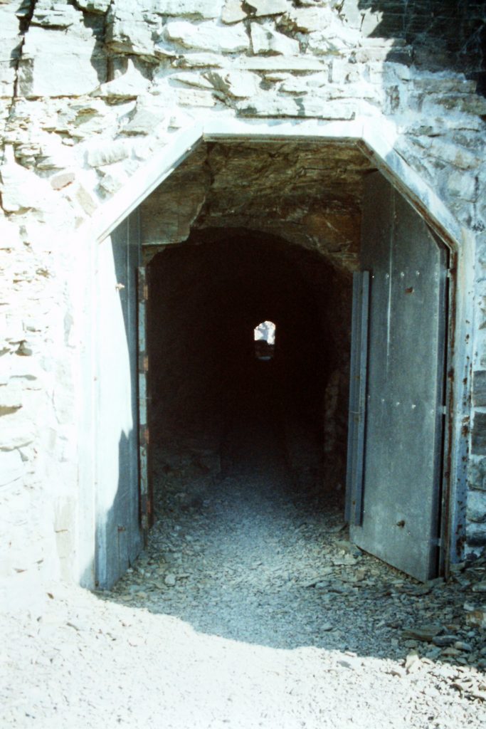
Looking through Ptarmigan Tunnel.
Elizabeth Lake as viewed from the north side of the Ptarmigan Tunnel. On my first ever backpack trip, I spent the first night at this lake.
Below are a few other peaks worth considering if you visit Glacier National Park.
Bearhat Mountain as viewed from Mount Reynolds.
The Dragon Tail as viewed from Mount Reynolds.
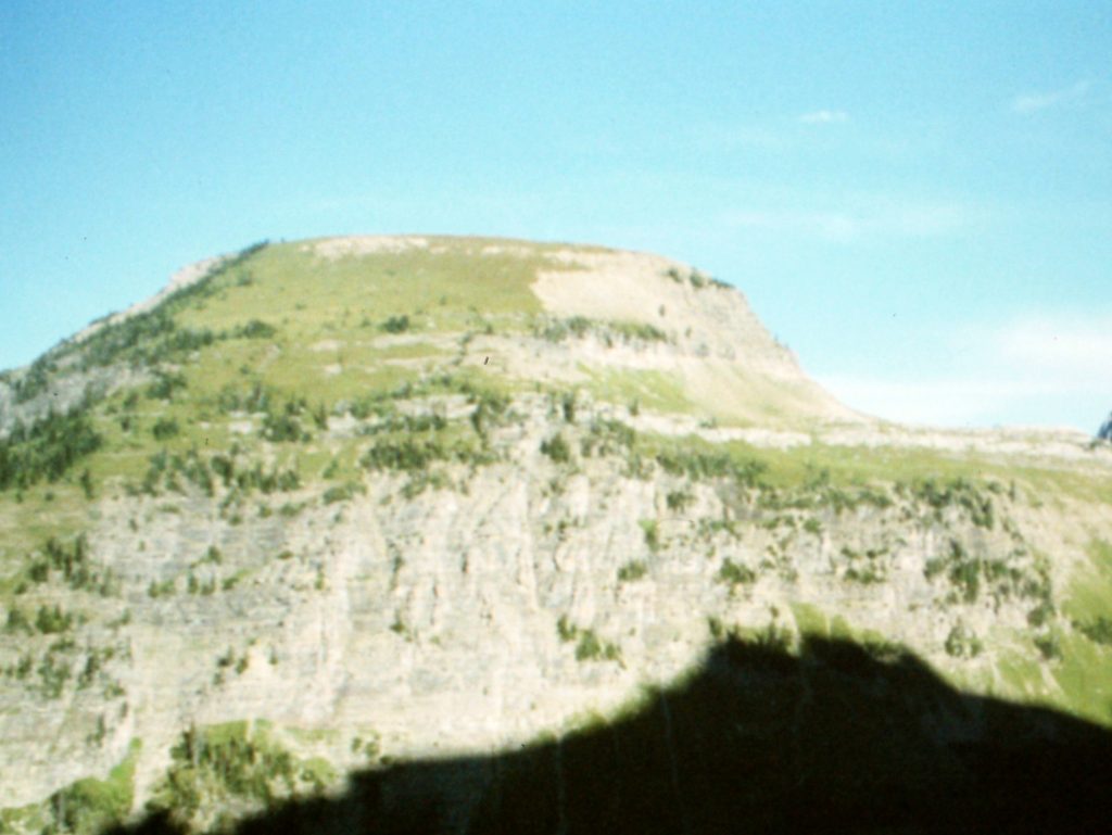
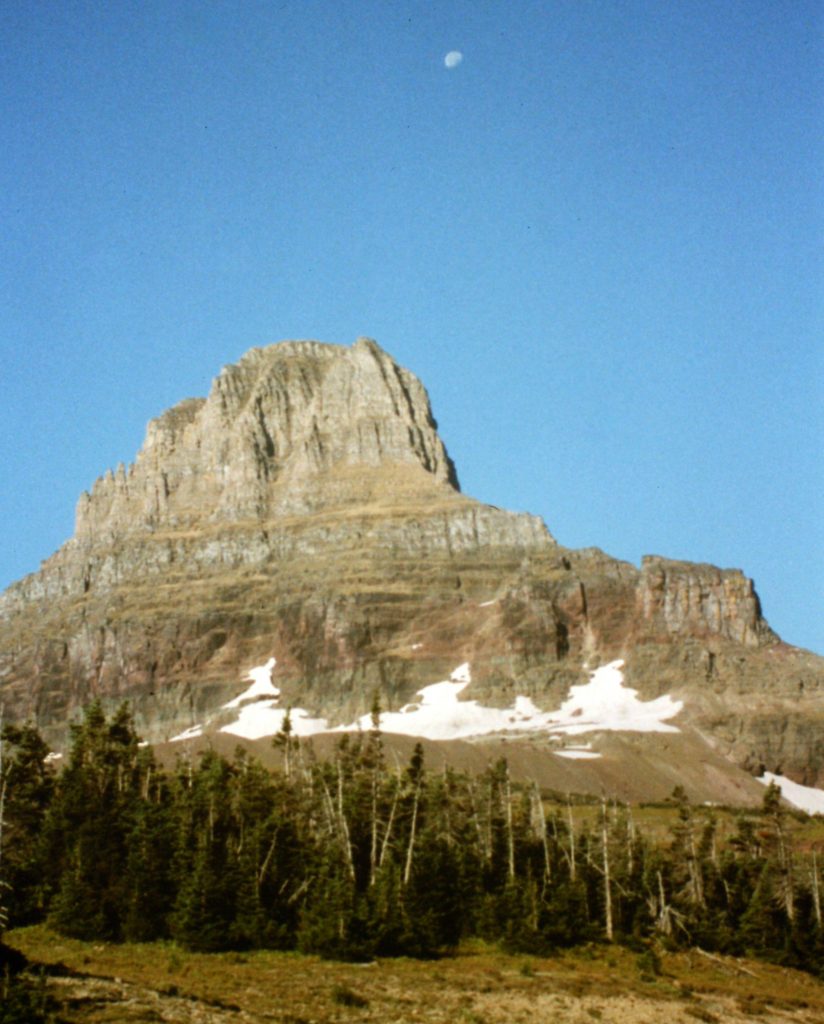
Haystack Butte
Mount Clements (left) and Mount Oberlin (right).
Cataract Mountain as viewed from Pollock Mountain.
Going-to-the-Sun Mountain.
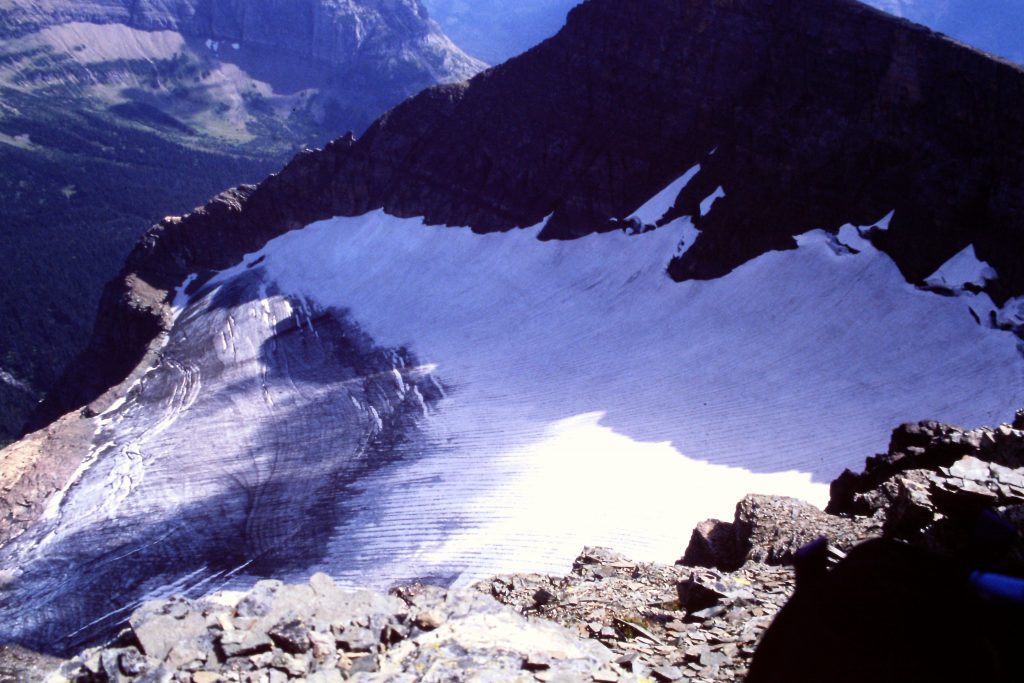
The Piegan Glacier.
Next: The Ruby Crest Trail