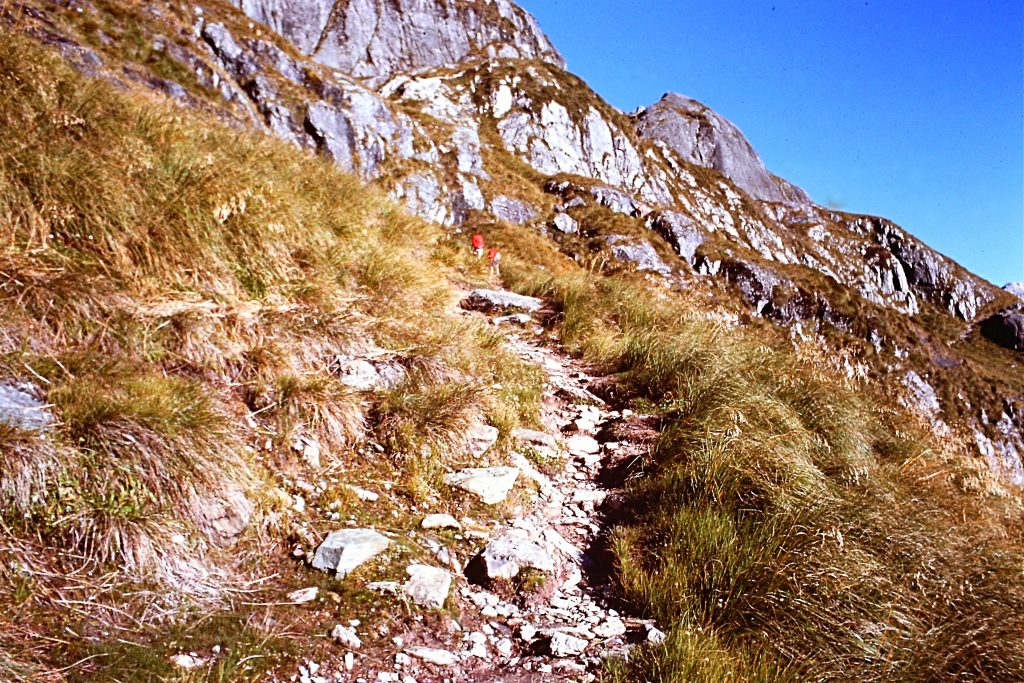
Descending from Harris Pass.
When I was planning my trip to New Zealand, I already knew about the Milford Sound Track. I also found references to the Routeburn Track which I learned was quite popular with hikers. Like the Milford Sound Track, there were guided hikes and government huts for shelter. This trail weaves through impressive valleys with waterfalls, lakes and across high mountains. Like every place in New Zealand’s Southern Alps, glaciation has dominated the high country. The highest point along the trail is 4,117-foot Harris Pass. I decided to sign up for a guided hike so that I could take advantage of the huts and not have to drag a lot of equipment halfway around the world.

The Southern Alps stretch over 300 miles from north to south and have over 3,000 glaciers. The range has been shaped by multiple glacial epochs which have carved the rock into fiords and sharp mountains with impressive cliffs, lakes and waterfalls. Ice fields are present and the climate is difficult. Wildlife is unique and especially so when it comes to the bird population which includes native tomtits, fantails, wood pigeons and bellbirds and most unusual of all the Kea, an alpine parrot. They are big birds growing to around 20 inches. Kiwis often call Keas “cheeky” and I have to agree with that assessment. Someone had left their car parked at the Ball Hut and in the 3 nights I stayed at the hut, the Keas ate the rubber windshield wipers and did a lot of nibbling on the tires.
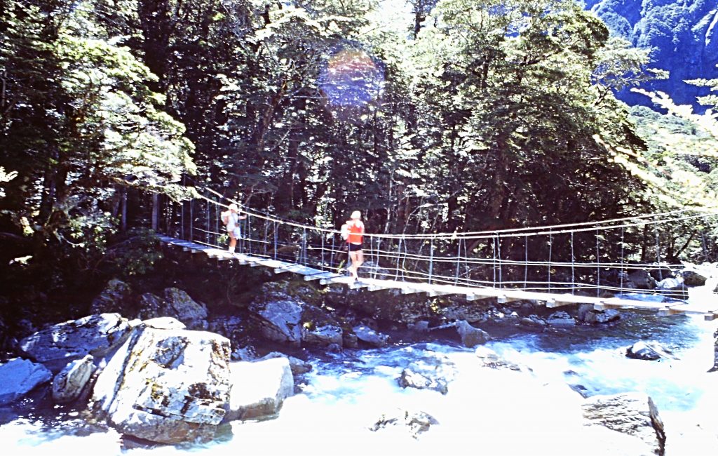
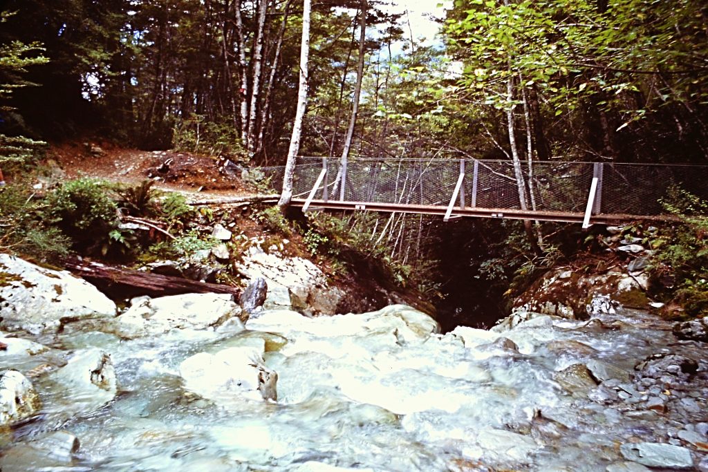
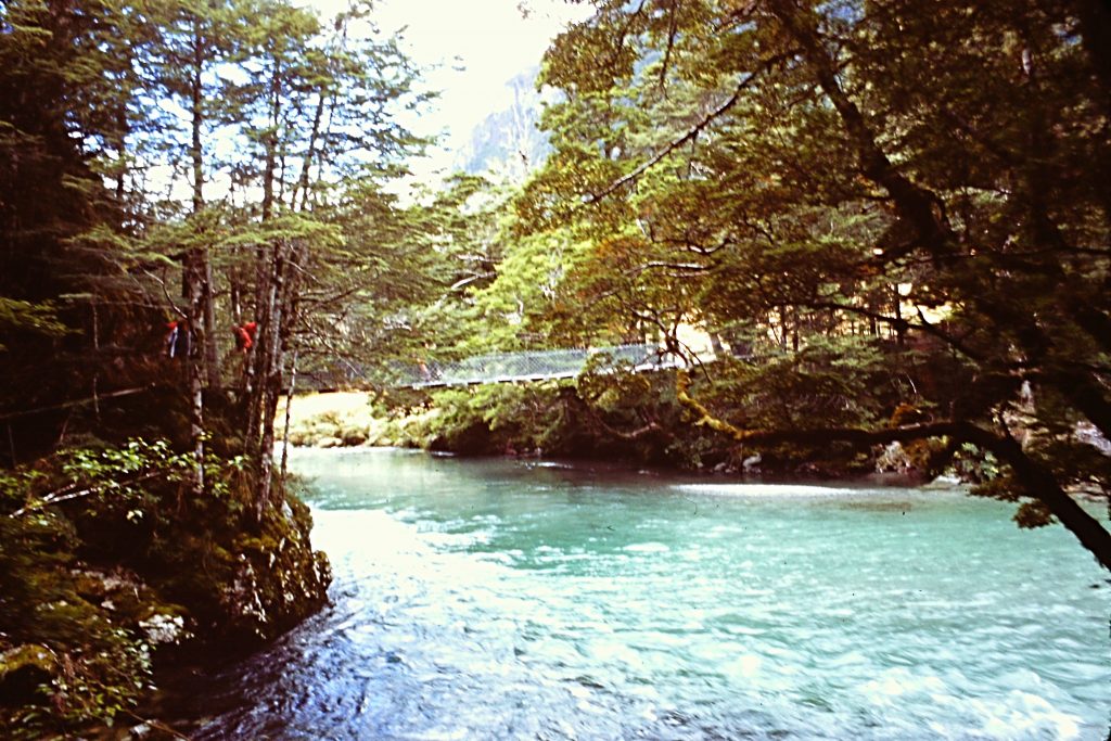
The first bridge on the Routeburn Track.
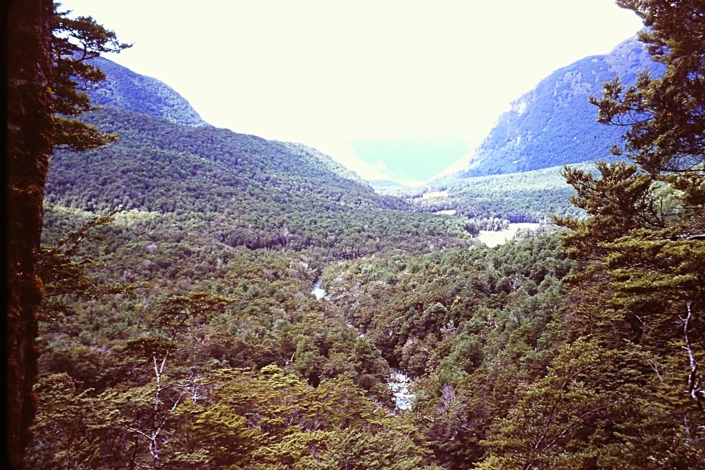
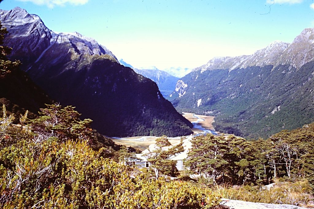
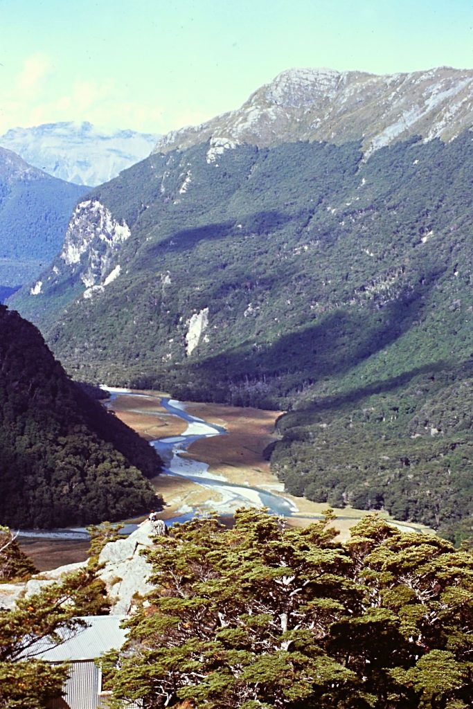
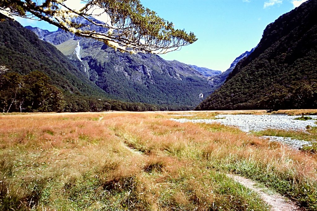
The Routeburn Track crossed an section of the Southern Alps that is lower than the Mount Cook area. The first day took us from the trailhead to the Routeburn Falls Hut in 5.5 miles. Our hike was through a spectacular glacially-carved valley. The trail crossed several suspension bridges and grassy meadows and made a steady climb through a beech forest. The views from the comfortable hut were outstanding. As I recall, the guide was the only New Zealander and everyone else was Australian. The hut was too cozy and comfortable to be fairly called a hut. We even had hot water.
Looking back down the valley.
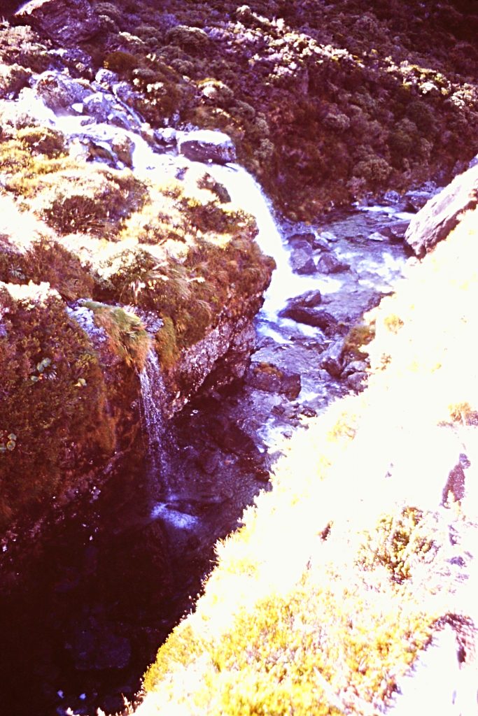
Water everywhere.
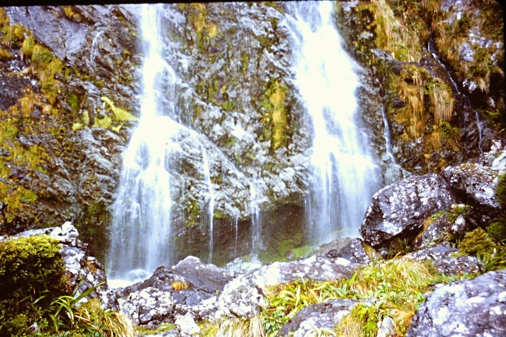
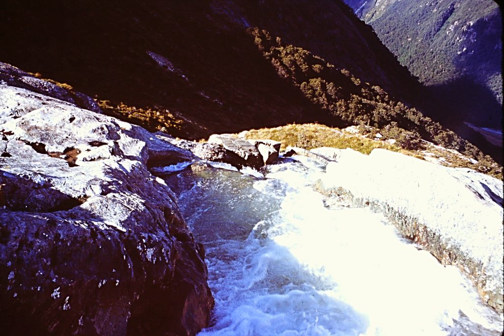
Routeburn Falls
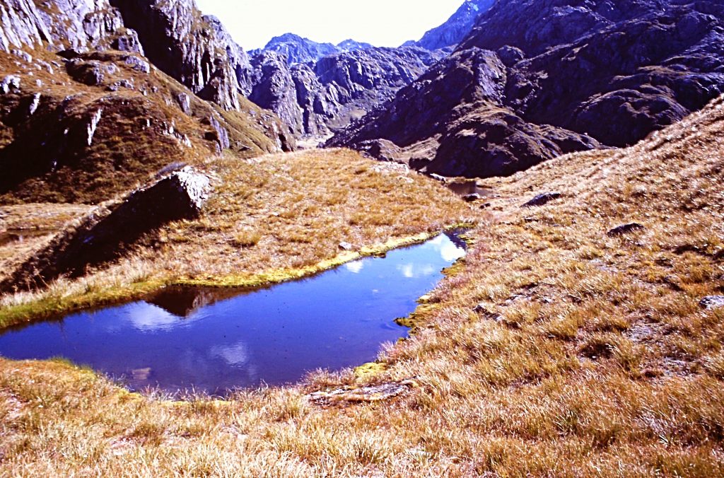
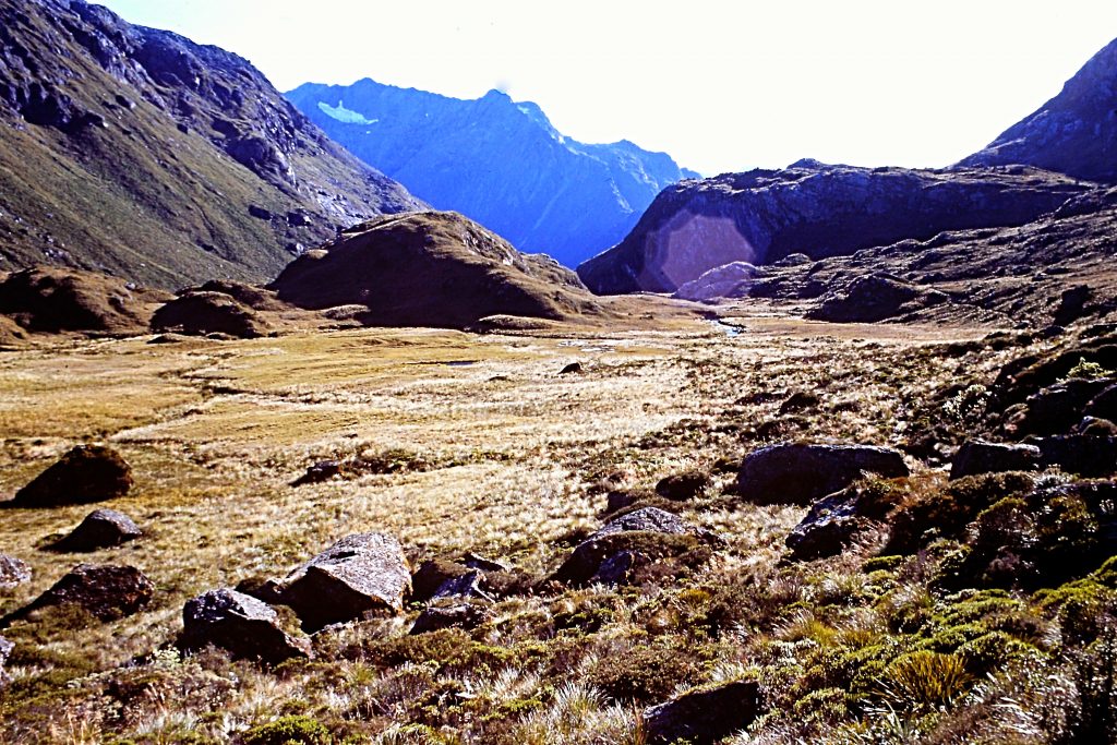
Looking up the canyon.
The Routeburn Hut.
The trail was well maintained.
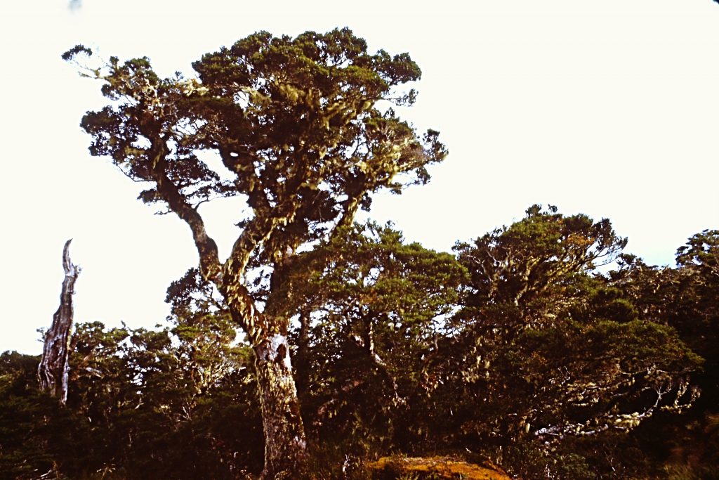
The primary tree in this area is the beech.

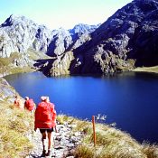
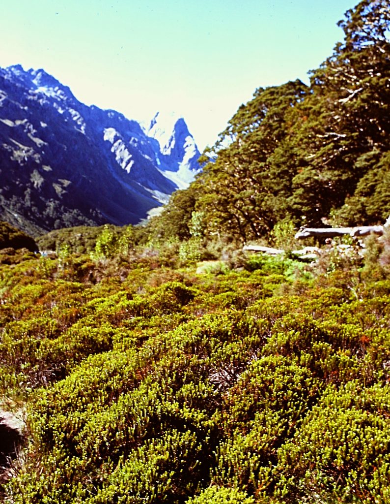
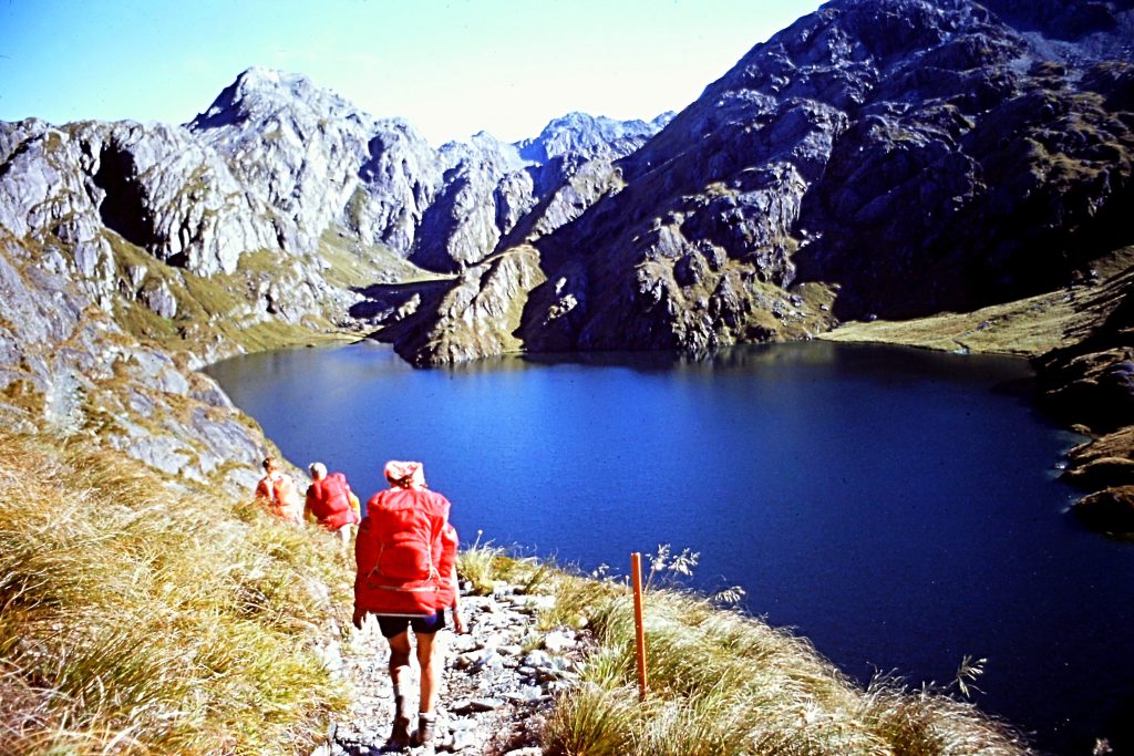
Day 2 is the big day for this trip. Our route took us from the Routeburn Falls Hut to Lake McKenzie Hut in 7.0 miles, crossing over 4,117-foot Harris Pass. As we climbed toward the pass, we had great views of the Routeburn Valley behind us then Lake McKenzie. On top of Conical Hill, we could the Tasman Sea and we were surrounded the Darren Range’s many impressive peaks including Mount Madeline and Mount Tutoko. From the pass, we climbed Conical Hill, a 4,907-foot peak. From the pass, we dropped down to the Hollyford Valley and Lake McKenzie.
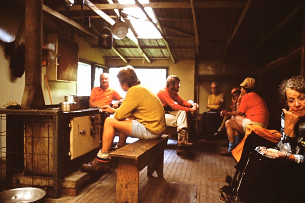
The huts were all roomy and comfortable.
Harris Pass with Conical Hill rising up on the right.
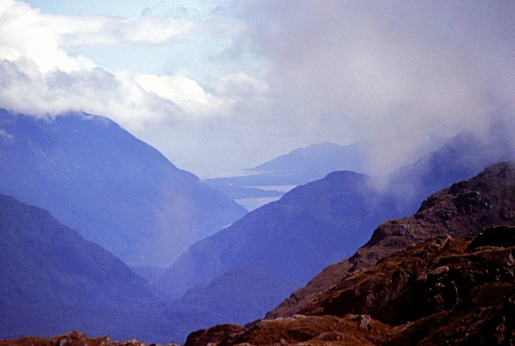
The Tasman Sea as viewed from Conical Hill.
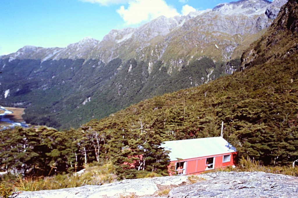
The Lake Mackenzie Hut.
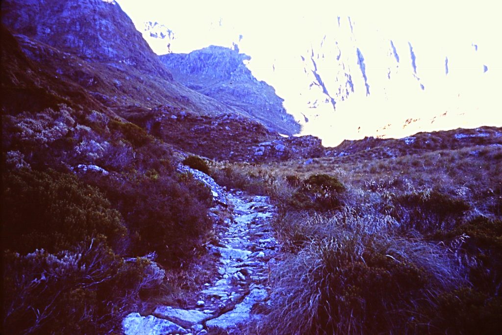
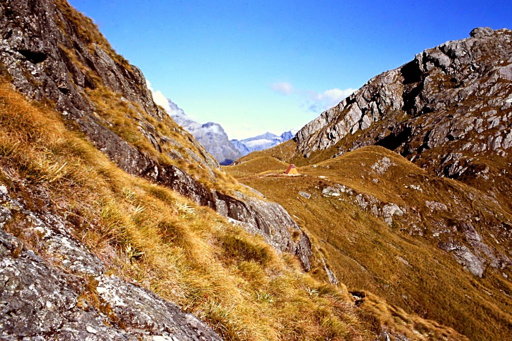
Looking back toward Harris Pass on the walk out.
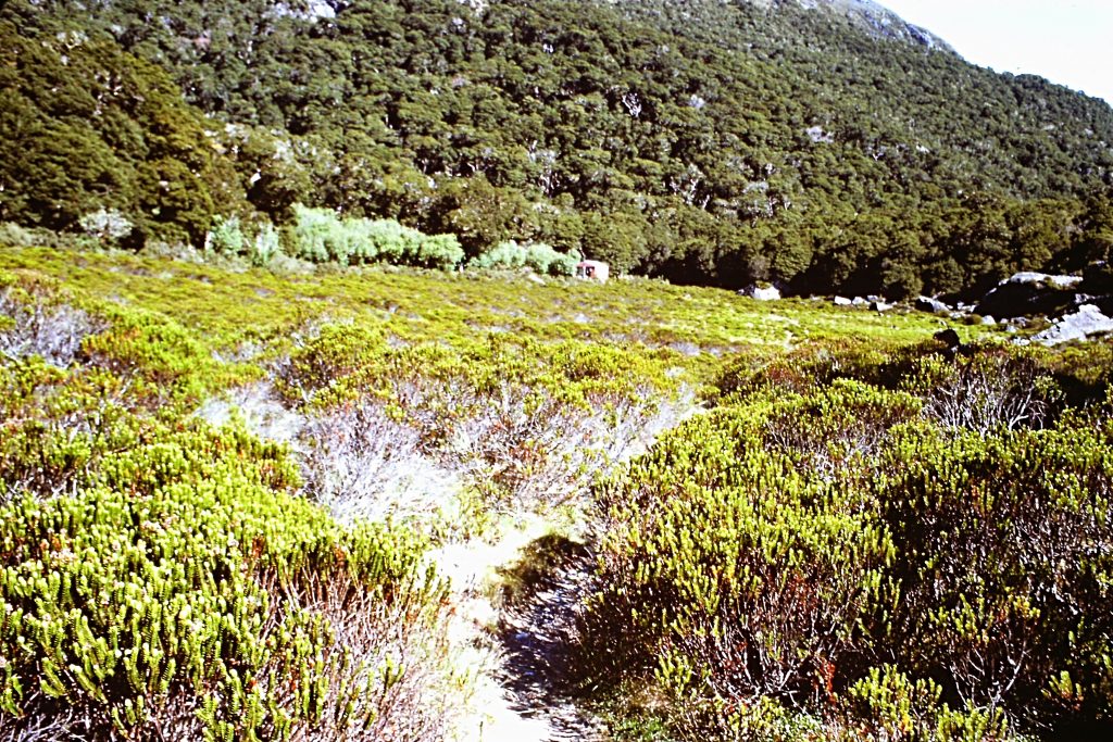
Our final day on the trail took us from the Lake Mackenzie Hut through a grassy meadow, past Earland Falls and down to Milford Road and the trail’s end. A great hike all in all. The next day I was to begin the nearby Milford Sound Track. I took a short bus ride to Queenstown where I spent the night.
Go to Milford Sound Track