Sometimes planning keeps you from really experiencing the land you are traveling through. When it comes to travel, I tend to plan all the details well in advance of a departure date. In this case, everything was a last-minute decision. I saw a Facebook post by Dave Alvin that he signed to perform at the Red River Folk Festival. Neither Laurie nor I knew where Red River was or had heard of the festival.
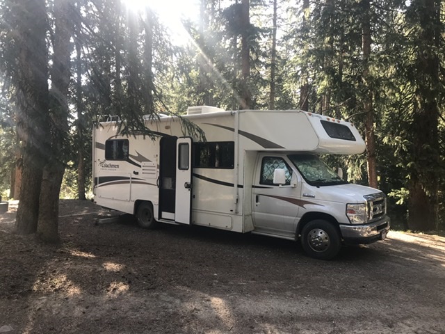
A Google search took us to the festival website which takes place in small former mining town in the Sangre de Cristo Mountains of Northern New Mexico. “What do you think?” I asked Laurie. “Let’s go,” she responded. We picked up our motorhome the next day from storage. We spent a day packing and left a day later. All I knew of the journey was the destination and that the most direct route was an 18-hour drive. We had no interest in taking the most direct route.
Sunday, 9/15. We decided to drive from Boise to Cedar Breaks National Monument via the Brian Head Ski Resort. Besides the National Monument, the peaks around Brian Head interested me. Driving the motorhome can be tiring, especially when the road is a busy freeway though a place like Salt Lake City or when the roads are narrow and twisting, like the highway up to Brian Head. Nevertheless, we made it to Brian Head on a beautiful Fall day with enough energy to make a side trip to the 11,307-foot summit of Brian Head Peak. The journey took 9 hours of driving and $250 for gas.
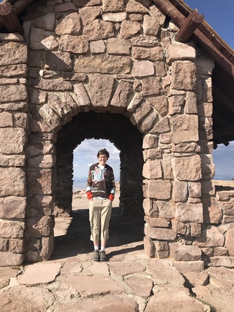
Laurie on the summit of Brian Head.
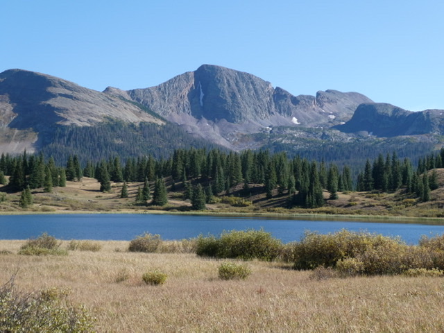
We secured a campsite at the Supreme Point Campground at the Monument. We spent the next 2 hours hiking the rim trails and marveling at the views. I had picked out three 11,000-foot peaks to climb the next day. Unfortunately, the weather report posted at the visitor center stated that a strong cold front was due to hit the park overnight and would bring strong winds and rain.
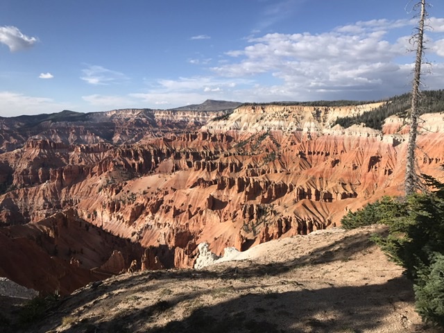
Cedar Breaks view point near the Supreme Point Campground.
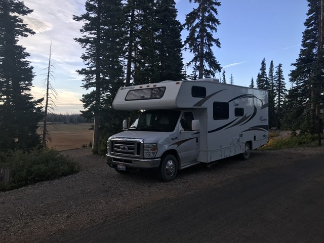
Point Supreme Campground.
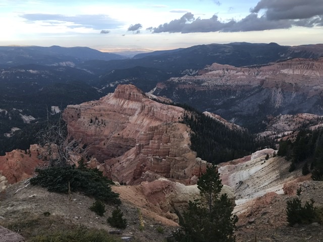
Morning at Sunset Point.
Monday, 9/16. There was only a little wind during the night but, by morning, the wind was shaking the trees and the temperature dropped below freezing. The 3-peak itinerary was dropped and we decided to drive on. Where to, we knew not. One thing was clear: we wanted to get to a warmer climate. We eventually drove to Navajo National Monument, passing through Page, AZ. The Arizona highways were all in need of resurfacing and the constant rumble of the tires on the uneven roads was a poor symphony accompaniment.
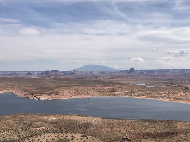
Lake Mead
This was our 2nd visit to the Navajo National Monument. The monument is small and is surrounded by the Navajo Indian Reservation. It is perhaps the most laid-back unit in the National Park System. The campground is free, the trails are uncrowded and at 5:00PM, it closes down and all of the employees go home.
Navajo National Monument
Tuesday, 9/17. Leaving the Monument the next morning, I spotted a Native American man hitchhiking. The Navajos live scattered across the reservation in small homesteads. On the spur of the moment, I decided to pick him up. His name was Bill Running Bear. Bill was, like many Navajo, a veteran. He had served in Iraq and was not well off. We had an interesting conversation about the Navajo way of life, the history of various spots we passed and his family as we drove him to Kenyeta. When we let him out, he gave us a Navajo blessing to ensure our safe travel.
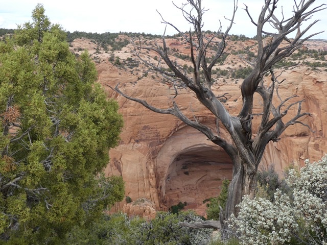
We drove on, leaving the rough Arizona roads behind only to discover that the New Mexico highways were rougher than the Arizona roads. We had a vague goal of eventually reaching Santa Fe. We passed through Kenyeta (AZ) and Shiprock, Farmington, Dulce and Chama (NM). On a whim, we pulled in to the Echo Amphitheater Campground around 5:00PM. The amphitheater is a huge, amazing alcove carved into a sandstone wall.
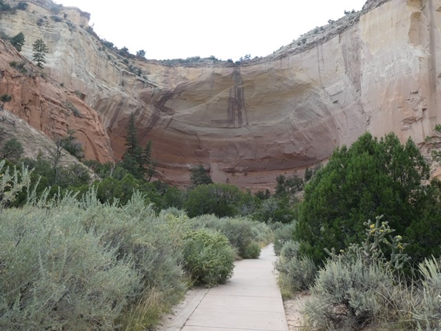
Echo Amphitheater

Echo Amphitheater

Echo Amphitheater
Echo Amphitheater
Echo Amphitheater
Echo Amphitheater Campground.
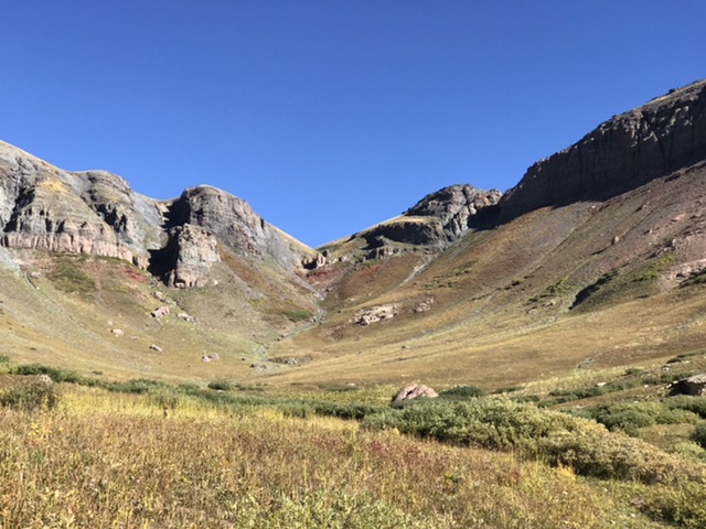
Wednesday, 9/18. Another day of driving on rough highways. The first planned stop was a visit to the Parajitos Ski Resort north of Alamosa (NM) where we planned to hike up Parajitos Peak. Once again, Google Maps could not manage to give us correct directions. Instead it kept directing us into the secure, off-limits Los Alamos Nuclear Research Compound. We resorted to the old-fashioned method of reading a paper map.
The road to the ski resort was paved but steep, narrow and full of hairpin turns. The ski resort itself was a bit primitive but well kept. The terrain around Parajitos Peak was a mix of aspen and pine forest. As in Idaho, a lot of this country has burned. The temperature was perfect for hiking. A fox followed us for a short distance near the start.
The terrain around Parajitos Peak was mostly forested or burned.
The hike up to the 10,441-foot summit covered 4.8 miles round trip with 1,200 feet of elevation gain. All but the last section of the hike was on roads built to service the ski lifts. From Parajitos, we drove to Santa Fe. We paid $25 to park for 4 hours at the Cathedral parking lot. We had lunch at the Cowgirls Bar and Grill, a restaurant not to he missed if you are ever in Santa Fe.
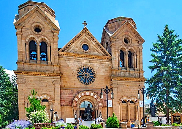
The Santa Fe Cathedral. The church’s cash-cow parking lot is off to the right.
After our tourist “walk about,’’ we left town and drove to the Santa Fe KOA where, after once again getting bad directions from Google Maps, we arrived to find that this KOA is one of the nicest KOAs in the country.
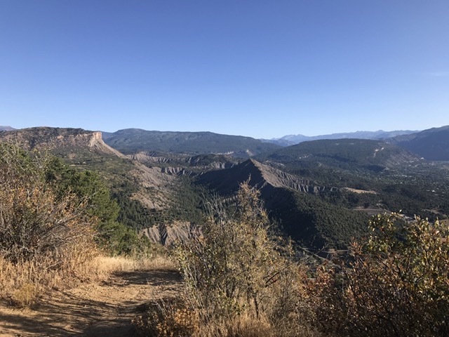
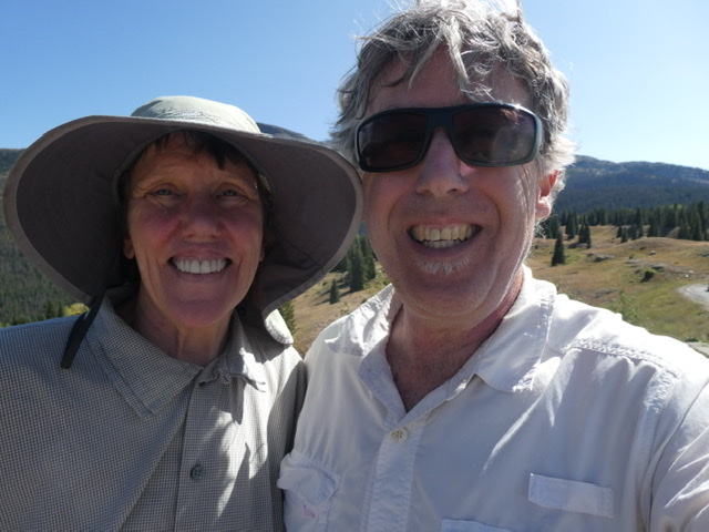
Thursday, 9/19. We were up early and drove to the top of Sandia Crest, the high point of the mountain range that forms the Eastern Wall of Albuquerque. The excellent (for once) but steep, paved highway was uncrowded early in the morning. The view from the 10,678-foot summit is outstanding.
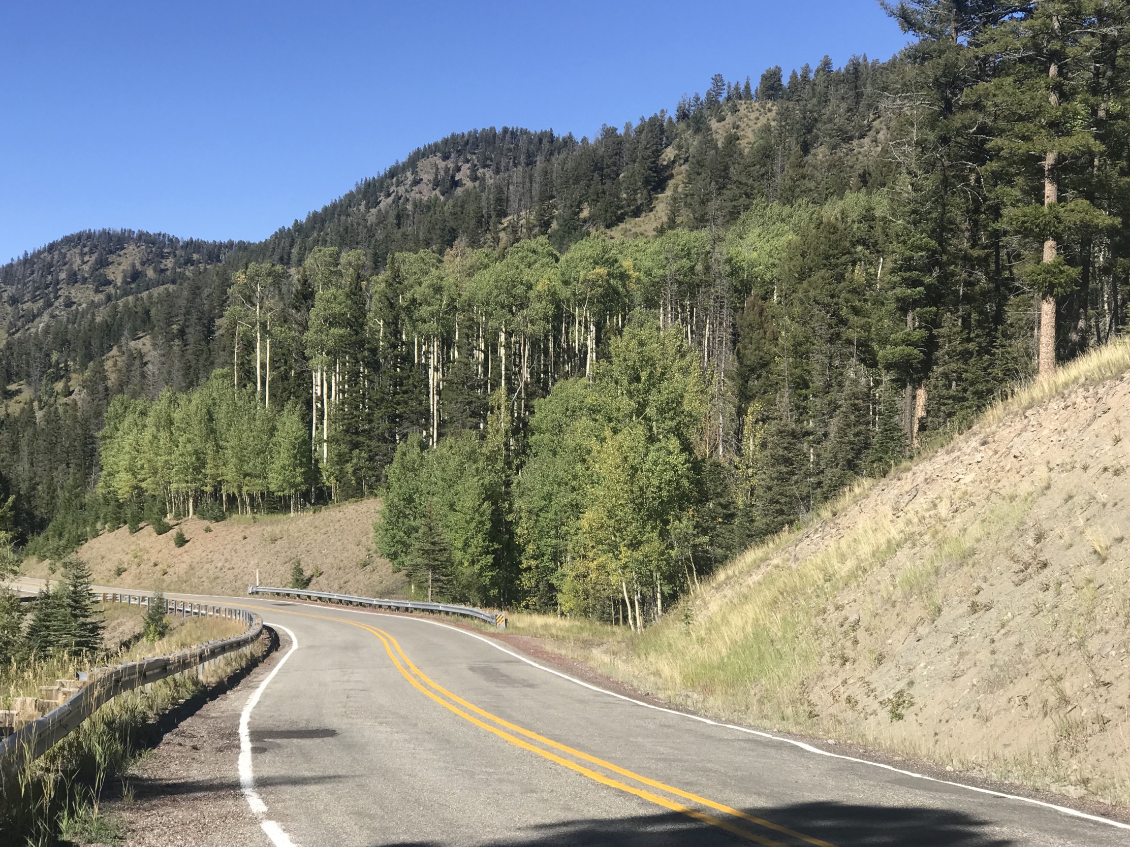
Next, we were finally off to Red River (NM). Our route took us through many hamlets situated north of Santa Fe, including Espanola and Taos. However, the Rio Grande Canyon was the highlight of the drive. The New Mexico road conditions varied considerably but, for the most part, were below modern standards making this drive tiring. A long stretch of this drive was through the Rio Grande Canyon following the course of the scenic river.
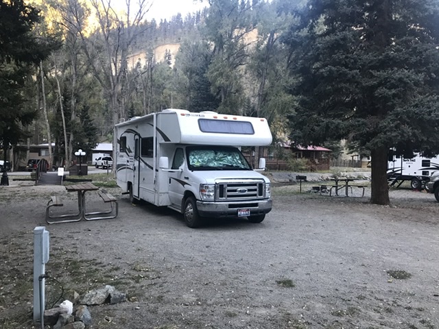
At Questa (NM), we turned onto NM-38 and started the long climb to Red River (NM). Red River was formed in the late 1800s when miners drawn were to the area by gold strikes. By 1895, Red River was booming as a result of gold, silver and copper strikes. The population rose to 3,000 by 1897, but by 1905 the population dwindled as mining died out. Nevertheless, the town survived as a mountain resort. Today, the year-round population is less than 500. Skiing in the Winter and ATV riding in the Summer are the most popular activities but mountain biking is growing in popularity. We arrived at the Red River RV Park which is unquestionably the nicest RV Park that we have ever visited. Our campsite was next to the small river.
Creekside at the Red River RV Park.
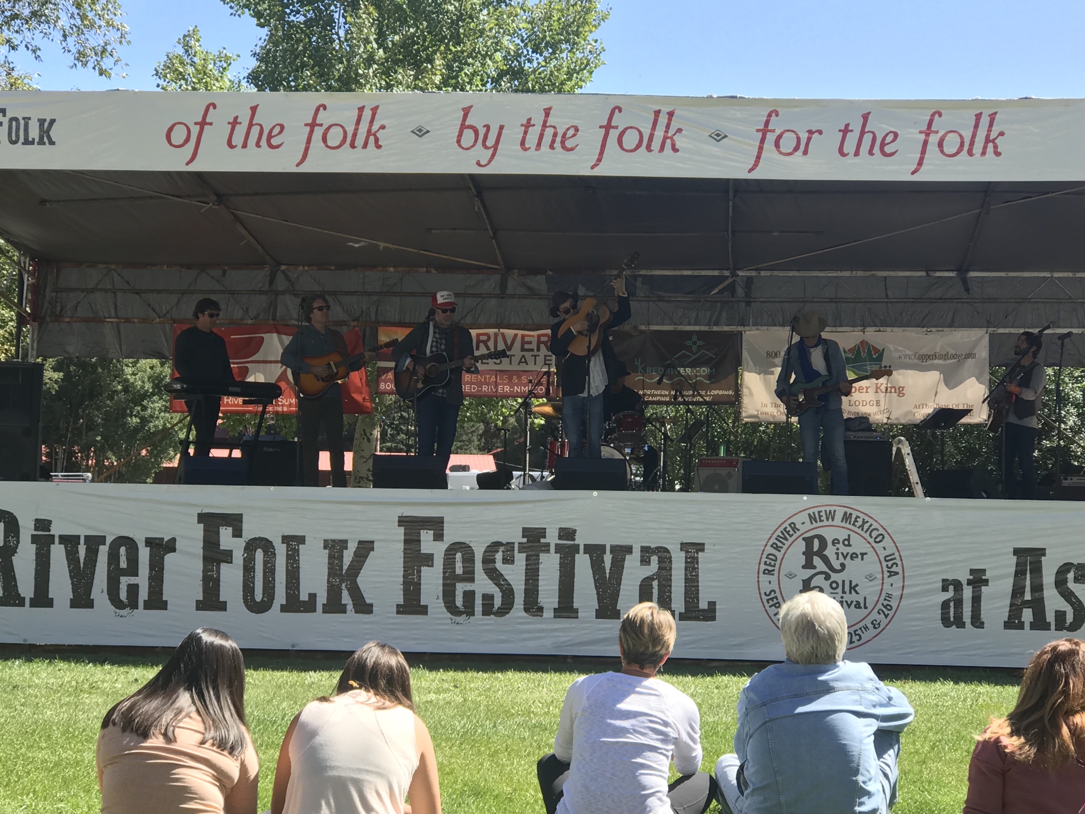
We immediately decided that, at a minimum, the festival was a good excuse to visit this interesting and scenic area. It turns out that the music was top notch.
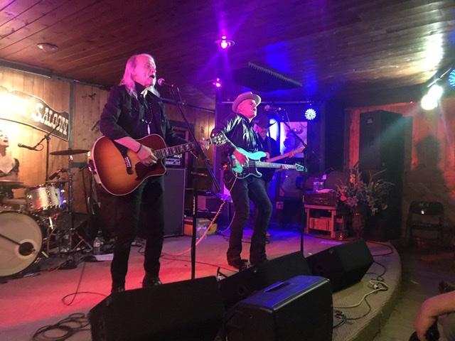
 The disorganized Red River Folk Festival started with Steve Poltz performing at the Motherlode Saloon. WOW! He is amazing. The guy has more energy than Mick Jagger, writes great songs and is as funny as any comedian. The Motherlode Saloon was built in the mid-1930s as a saloon, dance hall and gambling establishment. Despite being an old-fashioned bar in a very old building, it turned out to be a good, intimate music venue. We managed to grab front-row seats.
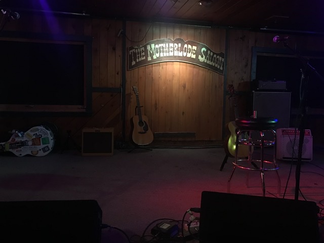
The stage at the Motherlode Saloon.
Friday, 920. We started the day with a 12.8-mile mountain bike ride. We first rode a short way up Goose Lake Road which was very difficult as it was torn up by ATVs. Abandoning that road, we rode up the up the Bittercreek Road which was good riding but eventually was blocked by private land.
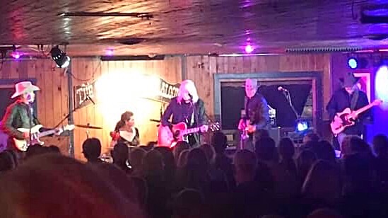
Friday night at the Motherlode Saloon was great. Front-row seats again. Max Gomez was unknown to us but is evidently well-known in New Mexico. He is a great performer and songwriter. However, James McMurtry was who we really wanted to see Friday. He is the son of Larry McMurtry of Lonesome Dove fame, but a success in his chosen field. His songs are novels in 4/4 time.
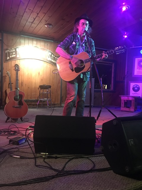
James McMurtry, one of our favorites for many years, put on a great show.
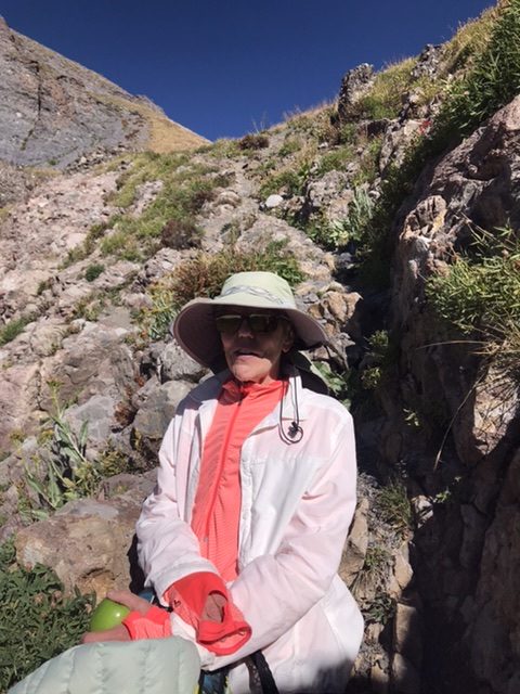
Saturday, 9/21. We started the day with an aborted 3 miles of bike riding but had to stop after mechanical problems waylaid Laurie’s bike. We listened to music in the park and had a great meal at Texas Reds before returning to the Motherlode for the evening’s music. The headliner act Saturday was Dave Alvin and the Guilty Men with Jimmy Dale Gilmore. Both Alvin and Gilmore are living legends and seeing them on the same stage was a treat.
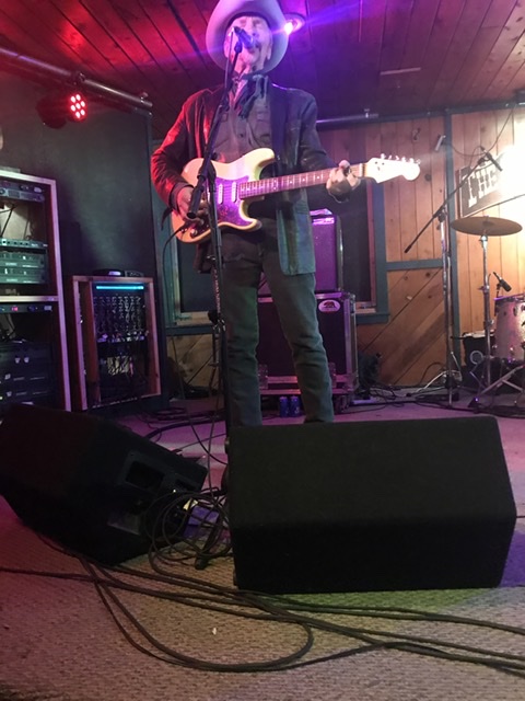
Dave Alvin
Jimmy Dale Gilmore and one of the Guilty Men
The entire band burning down the house. Lisa Pankratz on drums.
Sunday, 9/22. Sunday was a laid-back day. Lunch downtown, music in the park and a 10.0-mile bike ride. After the music ended, we packed up the motorhome in preparation for an early departure on Monday.
Sunday in the park.
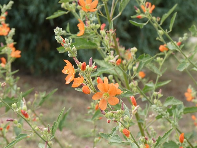
The mountains around Red River are a haven for aspen groves.
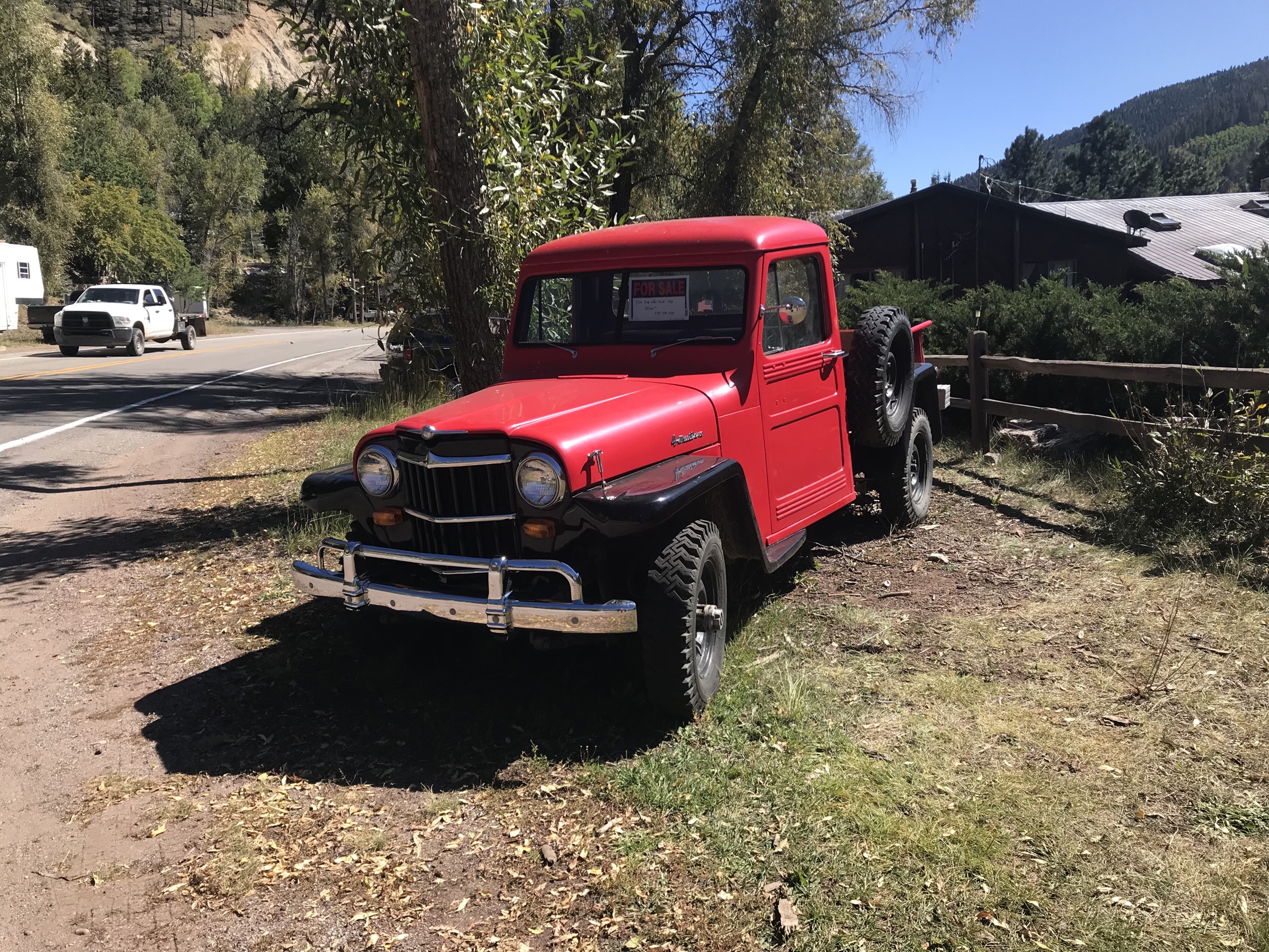
New Mexico Forest Service roads are even worse than the highway. I’m surprised this old jeep was not beaten to death by the surrounding roads.
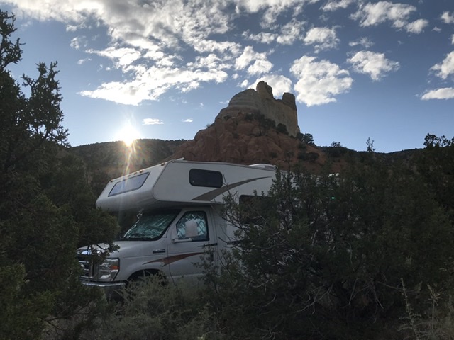
Monday, 9/23. On the road again after an early morning departure heading for Colorado. We drove north to Fort Garland, Colorado and then turned west on US-60. We passed through Alamosa, Monte Vista and Del Norte before starting a climb into the Colorado Rockies. The route reached its highest point at 10,785-foot Wolf Creek Pass. At Wolf Creek Pass, we decided since we were already so high we should climb a peak or two. The first one was at 11,500 feet and roughly a mile from a gravel road that climbed from the highway to Lobo Lookout. We parked at 11,000 feet and made a quick ascent of the peak.
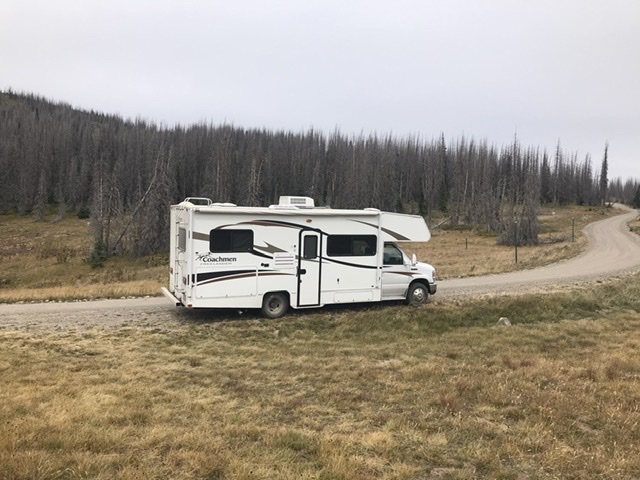
The motorhome at 11,200 feet.
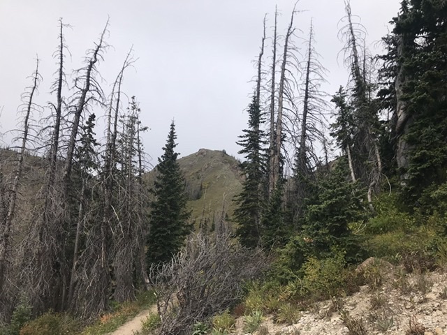
The second was Peak 11820 and a longer, more involved endeavor. To reach its summit, we started at the Lobo Overlook which is at almost 11,800 feet. We followed a trail down the connecting ridgeline where we met the Continental Divide Trail. The route then followed the CDT along the Divide to the peak’s flanks. From that point, it was a scramble to the North Ridge and then a climb up the ridge to the summit.
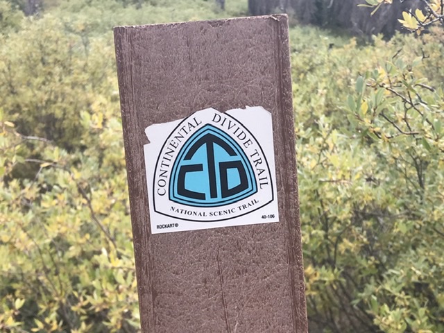
Hiking along the Continental Divide Trail.
Peak 11820
Looking down the route.

On top of Peak 11500.
After returning to the highway, we picked up 2 CDT hikers on Wolf Creek Pass and drove them to Pagosa Springs where they we going to resupply. They smelled as bad you might expect of someone who spent the last 2 weeks in the backcountry. As they say, “No good deed goes unpunished.”
Pagosa Springs is reportedly a popular place to live. Based on the traffic volume, I guess it is a popular spot. We planned to spend the night there. However, we discovered that the town, which is spread out for miles around broken forested terrain, was not to our liking. In sum, it is an urban planning nightmare. Lots of traffic and crappy strip malls. As the Eagles sing “Call some place paradise, kiss it goodbye.” We drove on to a KOA just east of Durango.
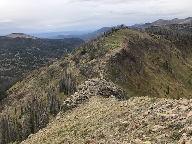
Tuesday, 9/24. Up early! What else? We drove to Durango and the trailhead for Smelter Mountain. A 3.2 miles, the trail ascent to the summit on the bike took no time at all. Nice views of the Durango area, which has grown exponentially over the past 20 years. Next, we drove to the north side of town to access the Animas City Peak trailhead. The hike to the summit used a loop trail that is 5.6 miles long with 1,400 feet of elevation gain. The trail was rocky but was in a pine/cedar forest most of the way. Beautiful summit views made the hike doubly rewarding.
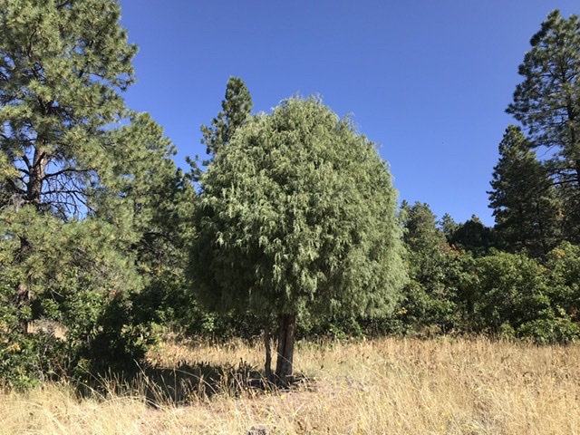
A cedar along the trail.
Animas City Mountain as viewed from Smelter Mountain.
We left Durango and continued north toward Leadville, looking for a good place to camp. After crossing a high pass, we saw a sign for Little Molas Lake Campground. After a bumpy 1.5 mile drive from the highway, we found the lake and a campsite.
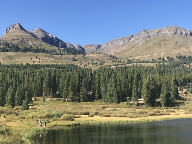
The Turkshead Peaks as viewed from Little Molas Lake.
Our camp at Little Molas Lake (10,980 feet).
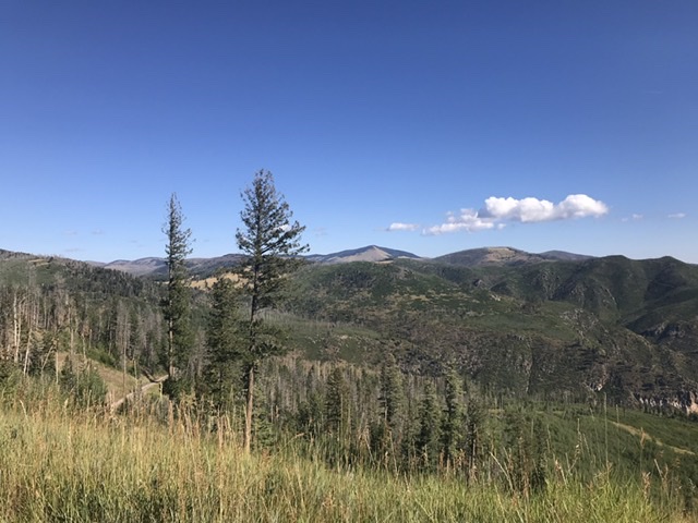
The San Juan Mountains
Wednesday, 9/25. We decided to climb 12,849-foot West Turkshead Peak from our campsite.
The route starts out weaving through thick forests and small meadows. Then after climbing a steep gully, it comes to this big meadow. The route then crosses this meadow and runs up through the notch.
Taking a break just above the crux. Above this spot, the route turns due north and climbs up the peak’s East Face.
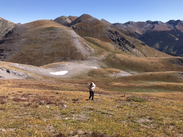
Moving up the tundra-covered face.
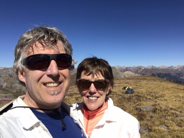
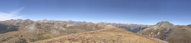
A panorama looking north from the summit.
Our next stop was Silverton, Colorado for lunch. The town was crowded with tourists, many of whom arrived from Durango on the historic steam-powered Durango-Silverton Railroad.
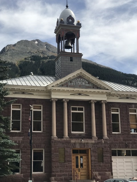
Silverton
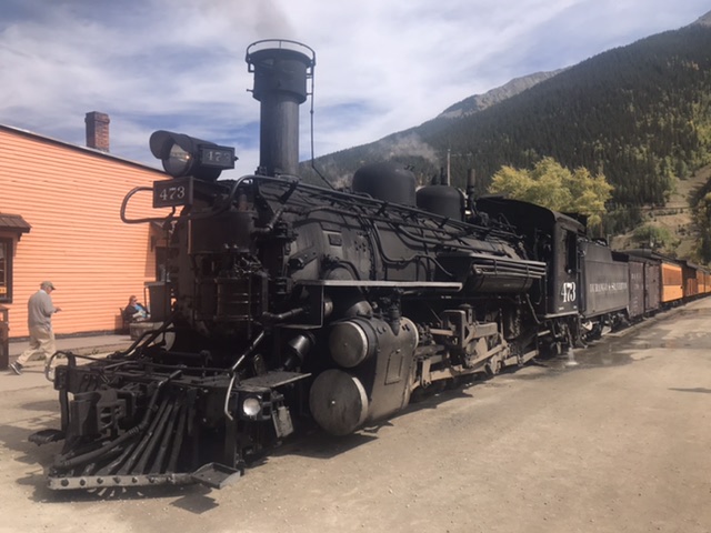
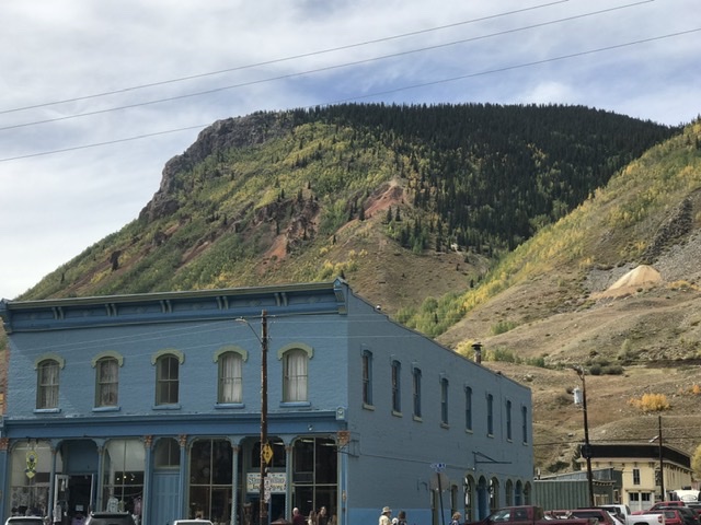
Silverton
As a result of our impending trip to Italy, we needed to make tracks to get back to Idaho. We continued north to Ouray, Colorado on the impressive mountain highway that links it with Silverton. We drove past golden aspen, towering peaks and old mining sites into Ouray. We spent the night north of Ouray at a KOA and then took the fastest route home.
Next: Spring Training