Article Index
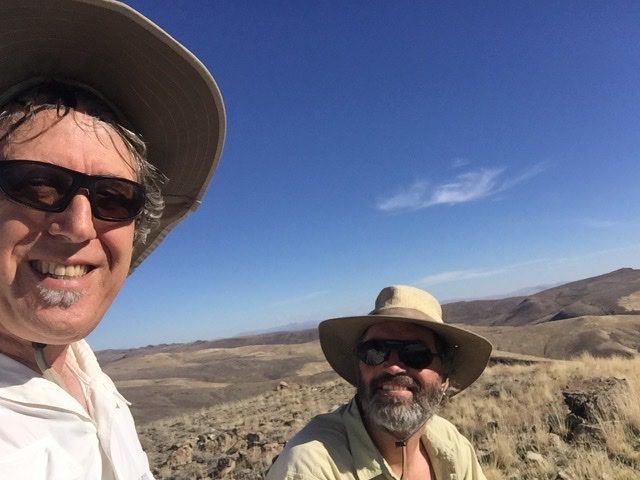
I had lost count of how many times I have driven the stretch of Highway 93 between Jackpot and Wells, Nevada. However, every time I drove through that country I told myself I needed to explore the mountains on either side of the road. I finally, got around visiting the area on November 12-13 with John Platt. (Read John’s trip report.)
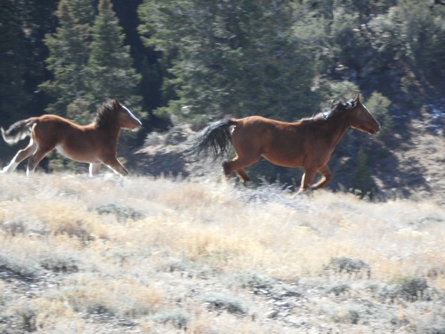
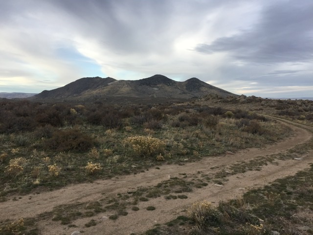
Wild horse country.
Sunday
We left Boise early on a Sunday morning. We broke the long drive up by detouring off of US-93 to make the short ascent up Salmon Butte, Idaho, a 5,398 foot volcanic remnant that towers over Salmon Falls Reservoir.
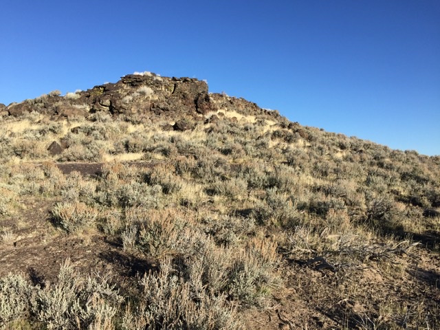
Salmon Butte
Our buddy Dan Robbins had climbed Tijuana John, 7,295 feet and unofficially named Cactus Pete Peak, 7340′ recently. Both are located southeast of Jackpot. Armed with Dan’s trip report we decided those would be our first two destinations. (Read Dan’s trip Report.)
We approached the peaks from Trout Creek Road which leaves US-93 roughly 2.25 miles south of Jackpot. The road was signed for Delaplain. This good gravel road led us to a point due west of the two peaks where we found a two track leading east toward the saddle separating the two peaks. We drove this road a short distance where it became impassable. From there we hiked the road to the saddle
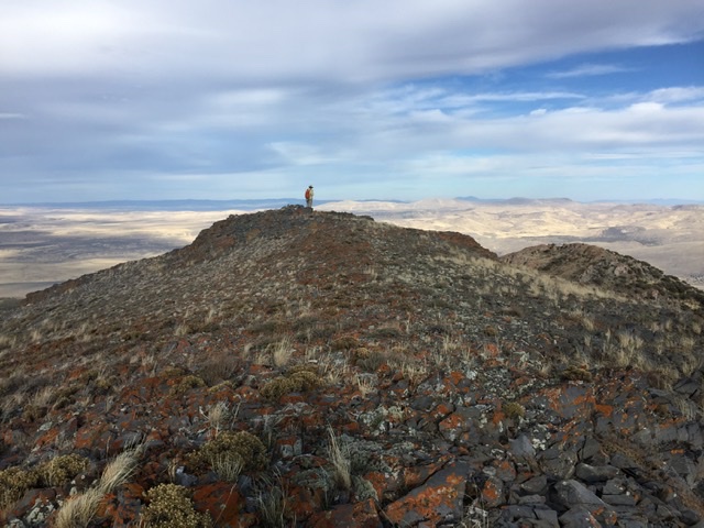
Tijuana John.
Cactus Pete Peak.
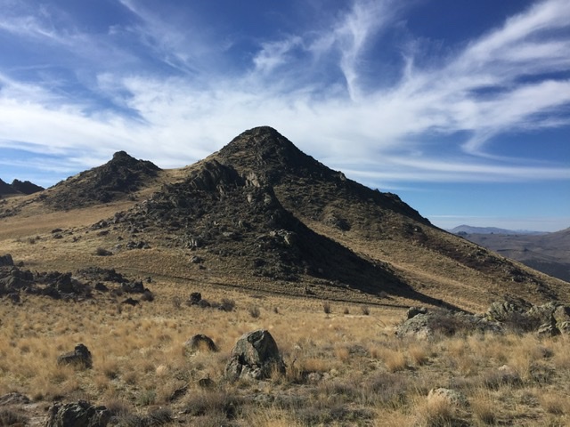
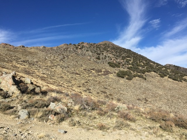
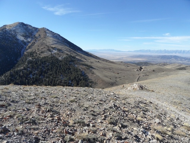
Middle Stack Mountain, 8,104 feet, a big mountain which anchors the north end of Granite Range, was our next goal. The Granite Range is encrusted with attractive, you guessed it, granite spires and outcroppings. This area is desert terrain and there is barely a tree on the range’s slopes. While the range’s narrow crest trends from north to south Middle Stack Mountain’s long summit ridge trends from east to west. Interestingly, the south end of the range is anchored by China Mountain which is another big peak with a long east to west trending summit ridge.
Middle Stack Mountain viewed from the crest road.
The summit of Middle Stack Mountain from the saddle on its south side.
Following the 4WD road up toward the summit ridge.
John on the summit.
My BLM map showed a road climbing from the east side of the range to the crest of the Granite Range just south of Middle Stack Mountain. We drove this road up to the crest and found it in surprisingly good condition. We parked on the saddle and hiked up the steep slopes partially on a steep mining road. Once on the summit ridge we turned east and hiked up the remaining distance to the summit of Middle Stack Mountain.
Back at the truck we mounted up and drove south on the crest road toward Peak 7380. From the road it looked like reaching the summit might be difficult because of all the exposed granite. However, route finding was relatively easy and we quickly reached the summit.
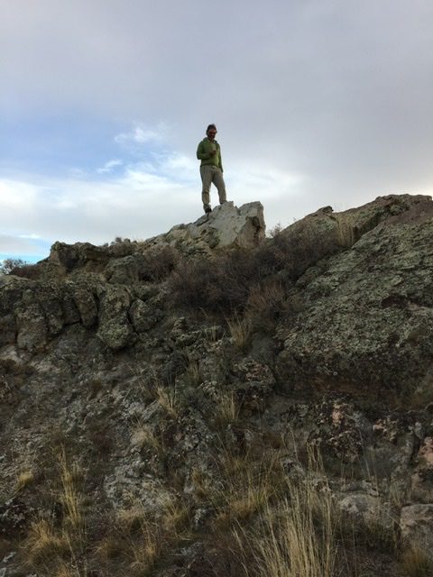
John on the summit of Peak 7380.
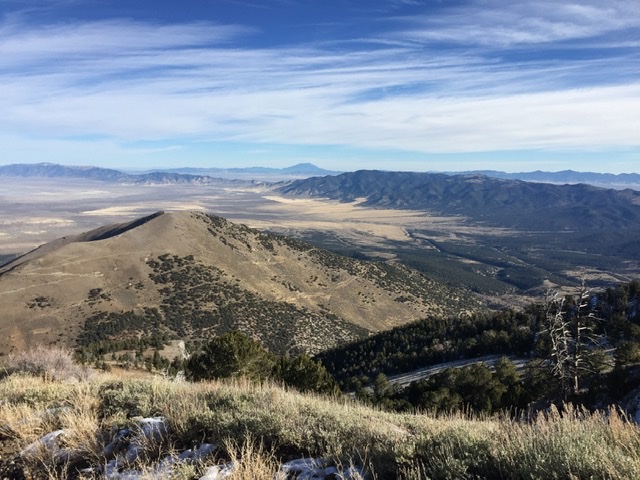
After climbing Peak 7380 we continued south on the crest road toward Granite Peak. I had climbed China Mountain in 2014 and I knew the crest road descended down to the flats south of the Granite Range. I also knew that the south end of the road was a rough driving problem. What I didn’t know was how bad the road was between our location and where I drove in 2014. Nevertheless, we forged on.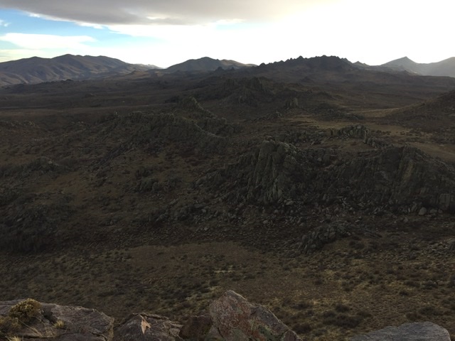
The crest of the Granite Range as evening approaches.
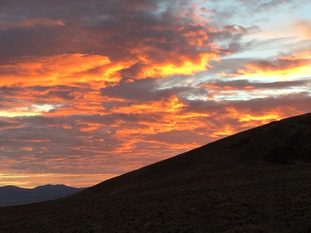
It was slow going. We eventuality made it to a good starting point for Granite Peak but given the slow progress we were making on the 4WD road and the quickly approaching sunset we drove on. (John lyrically discusses the difficult drive in his trip report.) Despite John’s fears we made it down just as the sun set. We drove on and got a motel room in Wells.
Monday
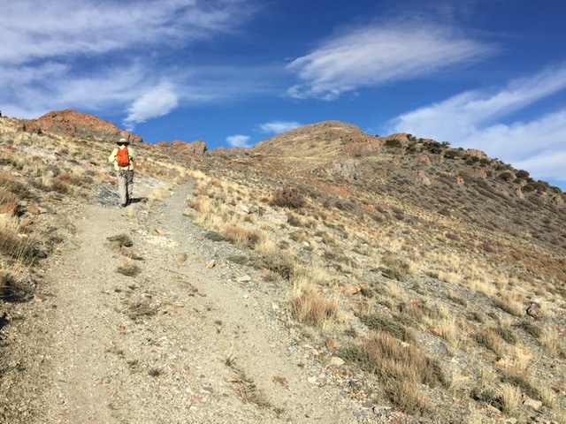
Spruce Mountain, 10,262, feet, a big mountain with 3,954 feet of prominence was our destination the next morning. This peak is impossible to miss as you traverse US-93. Spruce Mountain is basically a small mountain range. This massif is over 20 miles long. The approach from US-93 passes through the Sprucemont, a ghost town at the base of the peak. The town’s buildings date from the 1890s to the 1940s and were built to support lead and silver mining. Evidence of mining is scattered across the area.
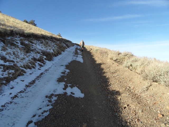
Hiking up the 4WD road to the summit. John Platt Photo
The road Spruce Mountain is visible in this photo. John Platt Photo
A steep bulldozer cut road leads to the communication equipment just below the summit. We drove up the road until we reached a snow covered section. Even without the snow I would not have driven any farther. We walked up the road to the summit.
Peak 9226 was next on our list because it was located just to the northeast of Spruce Mountain. We followed an old mining road to its west ridge and then hiked up the ridge. All though the ascent was enjoyable the highlight of the climb was spotting mare and her colt. This is wild horse country.
Peak 9226 viewed from Spruce Mountain.
Ellen D Mountain, 8,663 feet has 2,003 feet of prominence. It rises up west of US-93 and the mining berg of Contact. Contact a ghost town that still has a few residents. A road leads to the top of Ellen D Mountain from town where there is a lot of communication equipment. Much of the land around Contact is private but there is public access to the Ellen D Road. We drove up the road a mile or so and parked. We walked to the summit from that point.
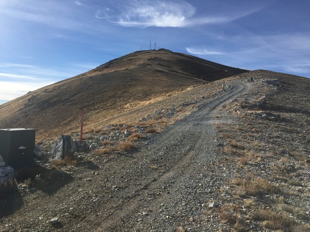
Ellen D Mountain
Next: Spring 2017: Sonic Booms and Peakbagging in the Mountain Kingdom