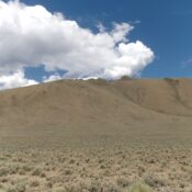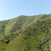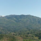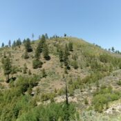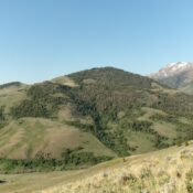
This peak is not in the book. Published October 2025 Middle Mountain is a big mountain that sits southeast of Antelope Pass in the White Knob Mountains. It separates the Middle Fork Cherry Creek from the Left Fork Cherry Creek. USGS Shelly Mountain Access From US-93 about 10.8 miles northwest of the US-93/US-20 junction in downtown Arco, turn left/southwest onto … Continue reading