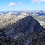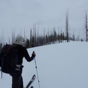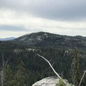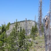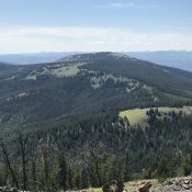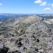
This peak is not in the book. Published August 2019 Peak 8817 is located on the border of the Frank Church River of No Return Wilderness between Coin Mountain and Peak 9001. It sits above the Missouri Creek drainage. John Platt’s trip report for his traverse from The Pinnacles is linked below and is the basis for the routes set … Continue reading