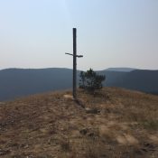
Climbing and access information for this peak is on Page 84 of the book. Crittenden Peak sits on the Idaho/Montana border on a section of the ridge crest south of Dominion Peak. The peak has a steep Northeast Face dropping into Montana but its Idaho side is nondescript at best. Its tree-covered summit is easily accessed from the State Line … Continue reading
Book Updates
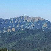
Climbing and access information for this peak is on Page 84 of the book. Dominion Peak is a former fire lookout site that sits on the Idaho/Montana border on a section of the Bitterroot Mountains Crest accessed by the State Line Road. Access to the peak via the road is easy. In fact, a short 4WD road leads to the … Continue reading
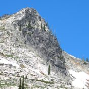
This peak is not in the book. Peak 7515 is located a little NNW of Big Fog Mountain between the upper Canteen Basin and Three Links Creek in the Selway Crags, or simply, the Crags. These highly sculpted jumbles and precipices of Idaho Batholith granite occupy the divide between the Lochsa and Selway Canyons in the Clearwater Basin of North … Continue reading
Climbing information for this peak is found on page 118. Chicken Peak is a former fire lookout site in the northwest corner of the Frank Church River of No Return Wilderness. USGS Chicken Peak … Continue reading
Climbing information for this peak is on Page 338 of the book. Margo’s original post has been supplemented by Livingston Douglas’ updated access section found below. Down the page you will find Neil Gleichman’s route up the peak’s face. Updated October 2023 Stouts Mountain is a distinctive summit that stands at the south end of the Big Hole Mountains. Steve … Continue reading
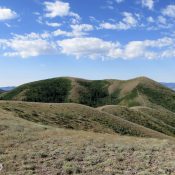
This peak is not in the book. Peak 7140 sits south of Pocatello in the Bannock Range, barely a mile southwest of Rock Knoll. There a few ways to climb obscure Peak 7140, but one of those is not from the west which is Shoshone-Bannock Reservation land. USGS Michaud Creek Peak 7140 can be reached by extending your climb of … Continue reading