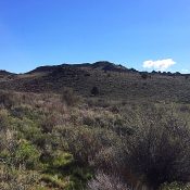
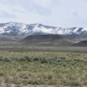
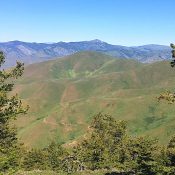
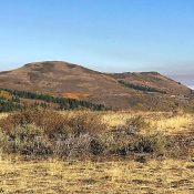
Peak 8332 (Vics Peak)

This peak is not in the book. Peak 8332 is another Lick Creek Range peak explored by John Platt. This peak is located northeast of Jughandle Mountain in the middle of a beautiful and easily-accessible roadless area just southeast of McCall, Idaho. Check out the link to John’s trip report for more details. USGS Paddy Flat … Continue reading

Buffalo Hump

Buffalo Hump viewed from the ridge crossing. The north ridge is on the right.

Climbing and access information for this peak is on Page 70 of the book. Thanks to Victor Zhou, who wrote the initial updated access and route information as well as providing several great photos. I provided the updated North Ridge route information based on my 2020 climb found below. Updated July 2020. 2017 Access and South Ridge Update by Victor … Continue reading

Peak 8762 (Pomerelle Peak)

This peak is not in the book. Livingston Douglas supplied the detailed route descriptions found below. Updated November 2018 Pomerelle Peak is the highest point in the Pomerelle Ski area. Its summit can be reached either from the ski area lodge by walking up the runs or from the Mount Harrison Road by following a 4WD road up from the … Continue reading

Shril Peak (Shril Benchmark)

Climbing and access information for this peak is on Page 311 of the book. Livingston Douglas has provided a new route on this big peak as well as the many photos found below. The elevation and prominence figures reflect LiDAR updates. Updated December 2024 Shril Peak is located on the main Lemhi Range Crest south of the Uncle Ike/Pass Creek … Continue reading

Peak 10600 (Gloved Peak)

Climbing and access information for this peak is on Page 311 of the book. Larry Prescott and Livingston Douglas provided the route updates set out below. Elevation and prominence figures reflect LiDAR updates. Updated December 2024 Gloved Peak is one of the many peaks surrounding Mormon Gulch. It is a worthy goal best reached via the mining road that leads … Continue reading