Elevation: 7,421 ft
Prominence: 881
This peak is not in the book. Updated August 2021
Jack Benchmark is located at the northern end of the main Owyhee Mountains Crest west-northwest of Slacks Mountain. It is the 12th-highest Owyhee Mountains summit. It has nearly 900 feet of prominence and a mile-long summit ridge. The high point is at the south end of the summit ridge. Jack Benchmark is a remote summit that is difficult to reach. Its closest neighbor is Rooster Comb Peak, which is located rough 2.0 miles northeast of Jack Benchmark. These two mountains and Whiskey Mountain sit in an area of mixed BLM, State of Idaho, and private lands. Someone stole the Jack benchmark. There was a summit register in 2021. USGS De Lamar
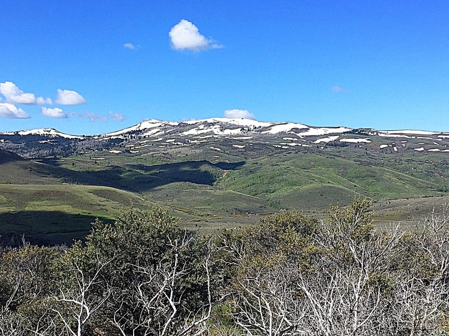
Jacks Benchmark as viewed from the northern Owyhee Mountains Crest Road.
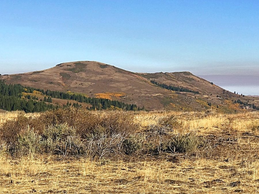
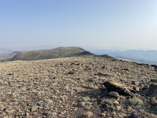
Jack Benchmark as viewed from the east along the Black Mountain Road.
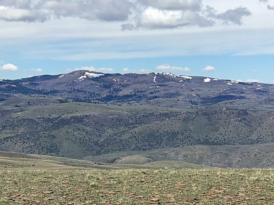
Jack Benchmark as viewed from the vicinity of Whiskey Mountain.
Access
This peak can be accessed from the northeast via the Whiskey Mountain Road and the Upper Succor Creek Road [(A)(1) on Page 346] or from the south via the Northern Owyhee Crest Road and the Upper Succor Creek Road. Use this link for access details and maps: Reynolds Area Access Routes. A rough 4WD road climbs out of the headwaters of Succor Creek from the Upper Succor Creek Road to the saddle on the peak’s south ridge. Another, even rougher road climbs from the saddle to the summit. Be warned: vehicle access requires a 4WD and lots of time.
Succor Creek Southeast Slopes, Class 2
The upper reaches of Succor Creek are reached via the Whiskey Mountain Road which ends at Succor Creek. From the road’s end, the slopes to the summit are a mixture of forest and meadow. You can continue to drive or hike up the Upper Succor Creek Road until you reach the 4WD road that leads to the saddle on the peak’s south ridge or, if on foot, leave the road at almost any point and hike directly to the summit.
South Ridge, Class 1
Follow the rugged 4WD roads to the summit has shown on the maps found on the Reynolds Area Access page.
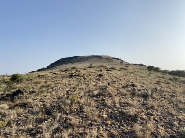
Looking up the peak’s broad south ridge.
Looking north along Jack Benchmark’s long summit ridge.
Additional Resources
Regions: Owyhee Mountains->Silver City Range->SOUTHERN IDAHO
Mountain Range: Owyhee Mountains
Year Climbed: 2021
Longitude: -116.85069 Latitude: 43.11569