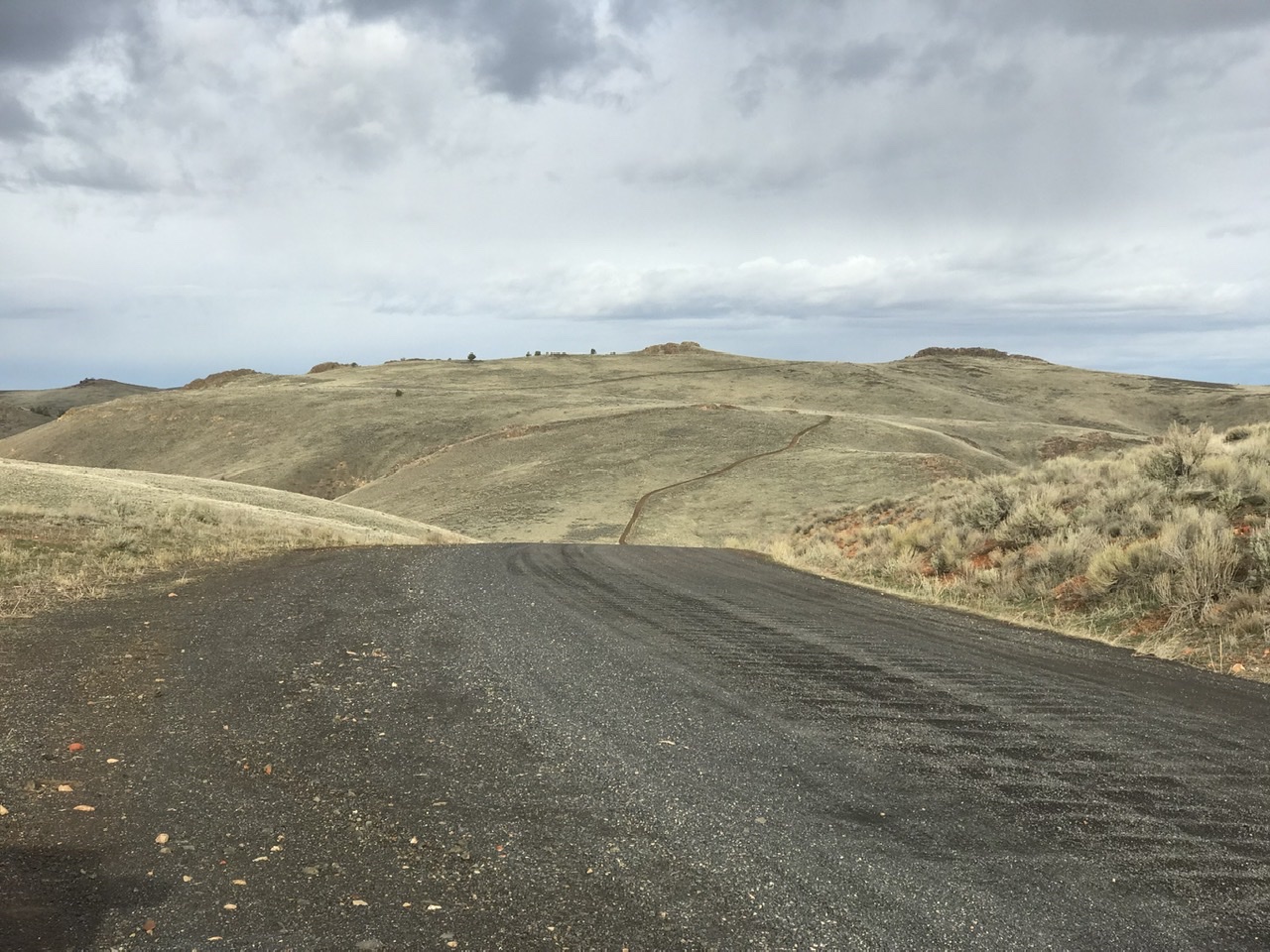
Leslie Gulch is the best known and most popular section of the Oregon Owyhee Mountains. This section covers the area on both sides of the road into Leslie Gulch.
Leslie Gulch is managed by the Vale District of the BLM as an “Area of Critical Environmental Concern.” The BLM describes this unique area as follows:
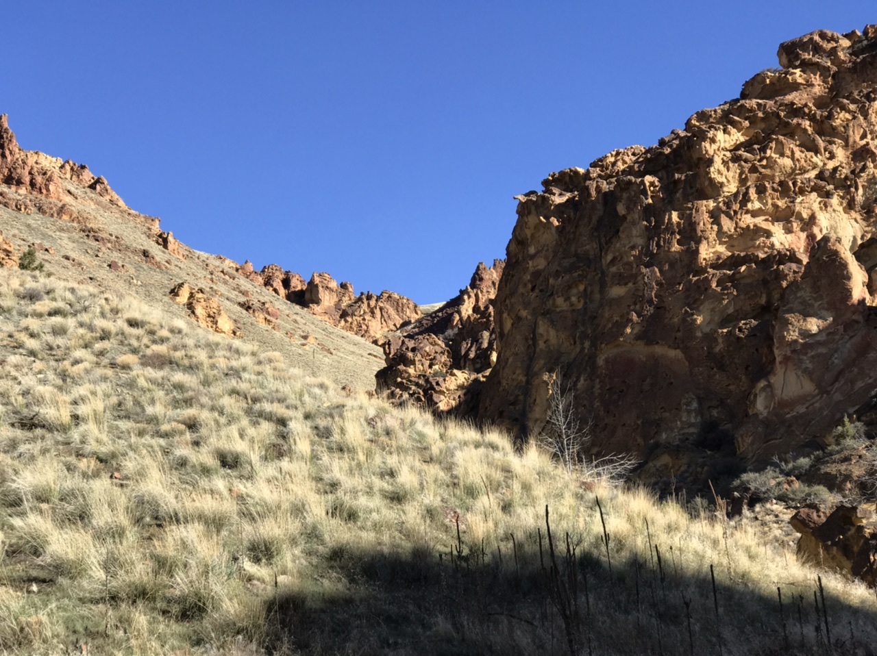
“Towering cliffs painted in desert hues and honeycombed rock formations sculpted over millions of years form the landscape of this remote region. The unique soils here support a number of rare plant species, including two that are only found in the Leslie Gulch Drainage. Mule deer, California bighorn sheep, Rocky mountain elk, coyotes, and bobcats all call this area home. Birders can spot chukar, raptors, California quail, and more over these 11,000 acres. The striking geology and unique opportunity to spot plant and wildlife make Leslie Gulch the perfect area to set up camp and get away from it all.”
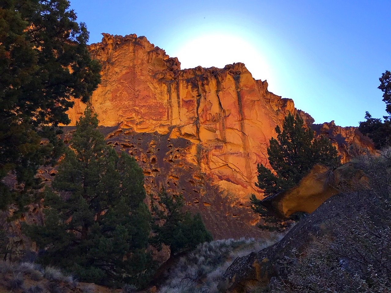
Leslie Gulch is scenic and popular with all sorts of recreationists. Expect crowds in the Spring.
Leslie Gulch proper
Directions
To reach Leslie Gulch from US-95 in Idaho, turn west onto McBride Creek Road and follow this good gravel road for 8.0 miles to Rockville, where there is a small elementary school house and several ranches. Turn west onto Succor Creek Road. The road then turns north and leads to [signed] Leslie Gulch Road. Turn west and follow this road for 15.0 miles. Succor Creek Road is also accessible from either OR-201 in the north or US-95 in the south.
BLM Rules and Recommendations
No overnight backpacking. In addition, horses are not allowed in the Area of Critical Environmental Concern. Vehicles are limited to existing roads and parking areas.
Camping and fires are limited to the Slocum Creek Campground. Maximum stay is 14 days. Collection of vegetation, rocks, and firewood is prohibited. Drinking water is not available. Toilets are available.
Flash floods, wet roads, or winter conditions can make the road impassable. High-clearance vehicles are recommended. Large recreational vehicles are not recommended.
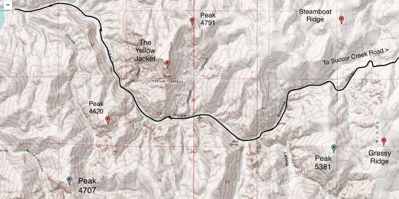
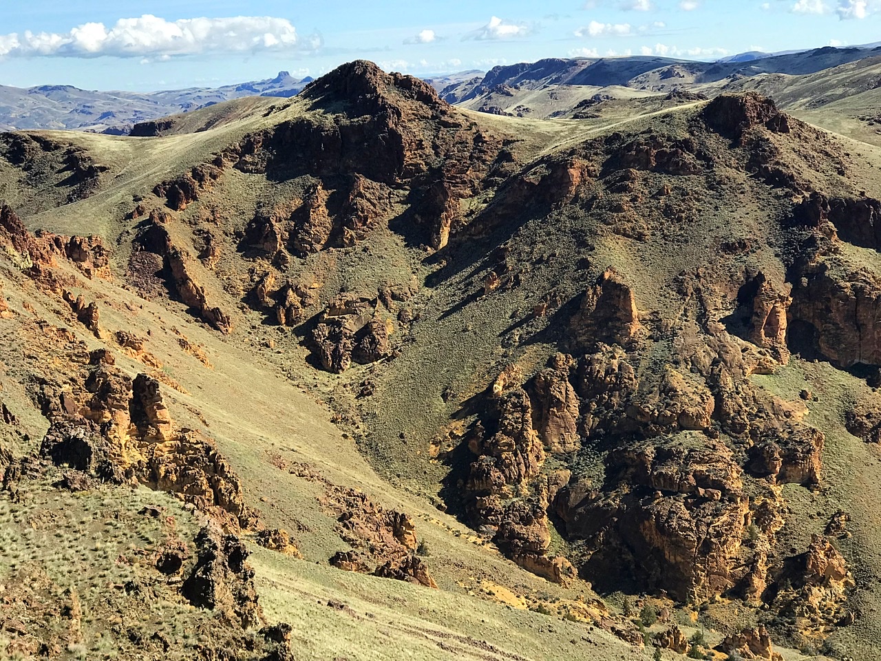
Peaks
There are 10 peaks that are accessible from the Leslie Gulch Road. Four (The Yellow Jacket, Grassy Ridge, Steamboat Ridge, and Bannock Ridge) are named. The peaks along this corridor are described from east to west.
-
The Two 4740s
The first two peaks located along the Leslie Gulch Road are both listed at 4,740 feet in elevation. They are located on the north side of the road. Peak 4740 East (Class 2) can be easily climbed from any direction. I recommend approaching it from the southwest as shown on the map below. This route starts at a good parking area and reaches the summit in 0.6 miles with less than 300 feet of elevation gain. The only objective hazard along the way is a BLM range fence which you can slide under without too much difficulty. The view of Saddle Butte to the north is exceptional as is the view of the Idaho Owyhee Mountains to the east.
Peak 4740 East as viewed from Peak 4740 West
The route to Peak 4740 West is a bit more difficult. Like Peak 4740 East, this peak can he ascended from numerous directions. The route shown below requires crossing a sturdy BLM range fence. Keep an eye out for a spot where the wire is high enough off the ground to let you crawl under the fence. The view from the summit to the west is exceptional.
Peak 4740 as viewed from the southeast
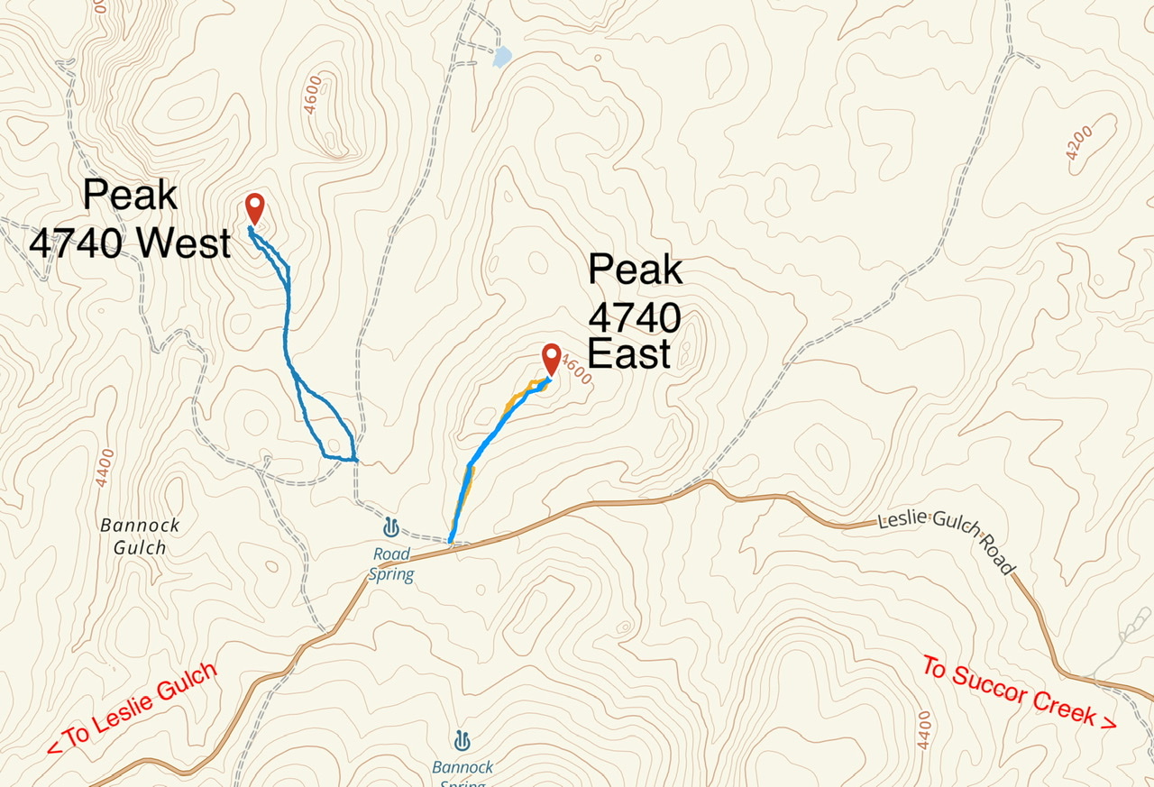
This map shows my routes up these two peaks. The 4WD road approach from the Leslie Gulch Road can be too muddy to drive early in the year.
-
Bannock Ridge
This big ridge is the next peak along the Leslie Gulch Road. We found a few geodes on the route shown below. The round trip covers 2.5 miles with just under 600 feet of elevation gain.
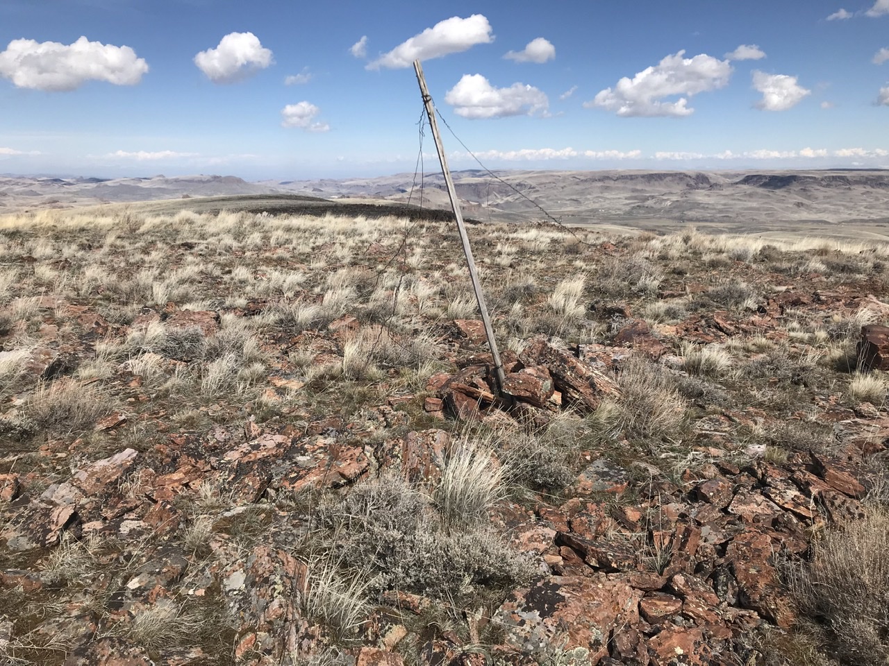
Remnants of a survey station on the broad summit of Bannock Ridge
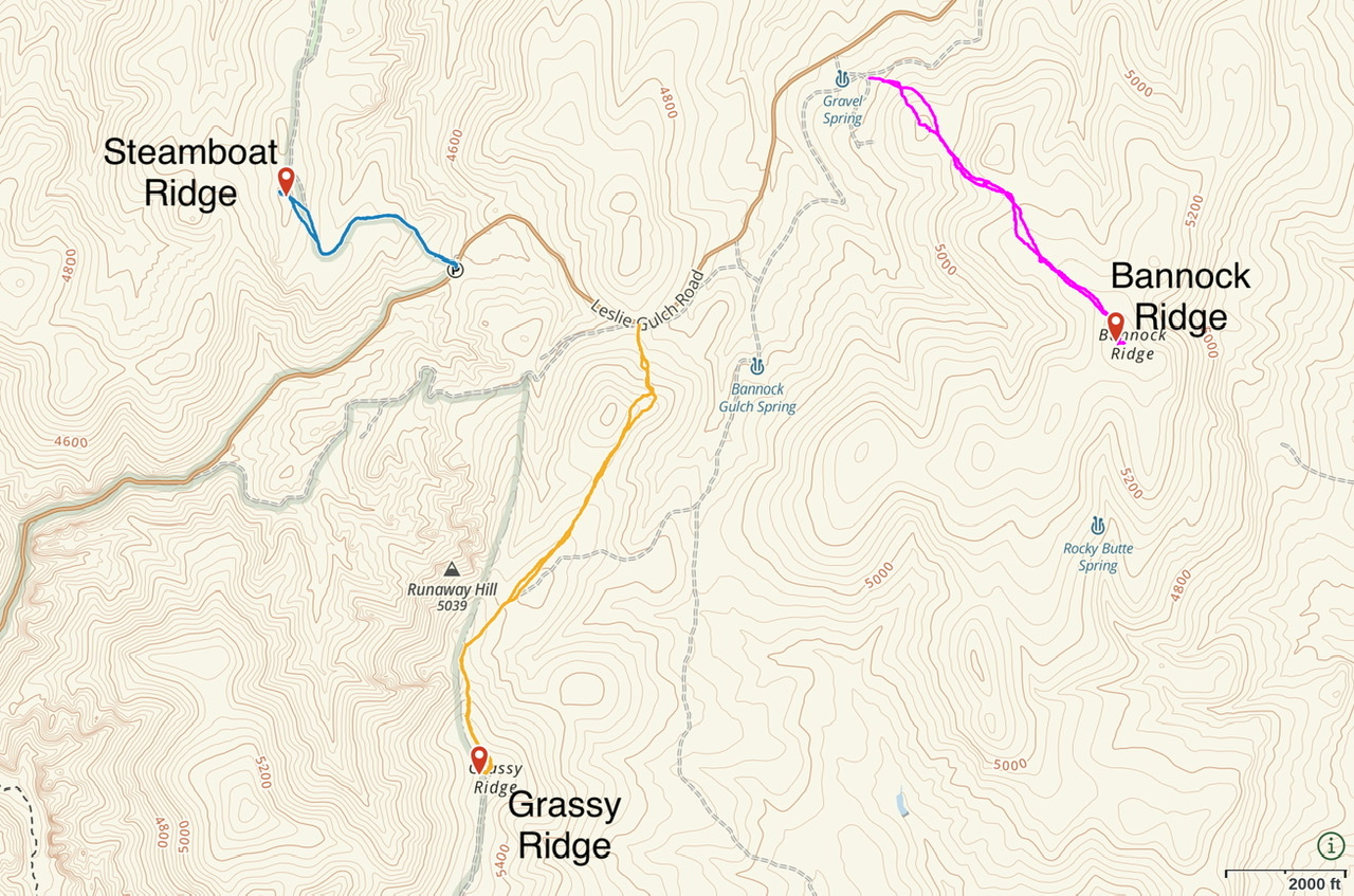
This map shows my GPS tracks for Bannock, Grassy, and Steam Ridges.
-
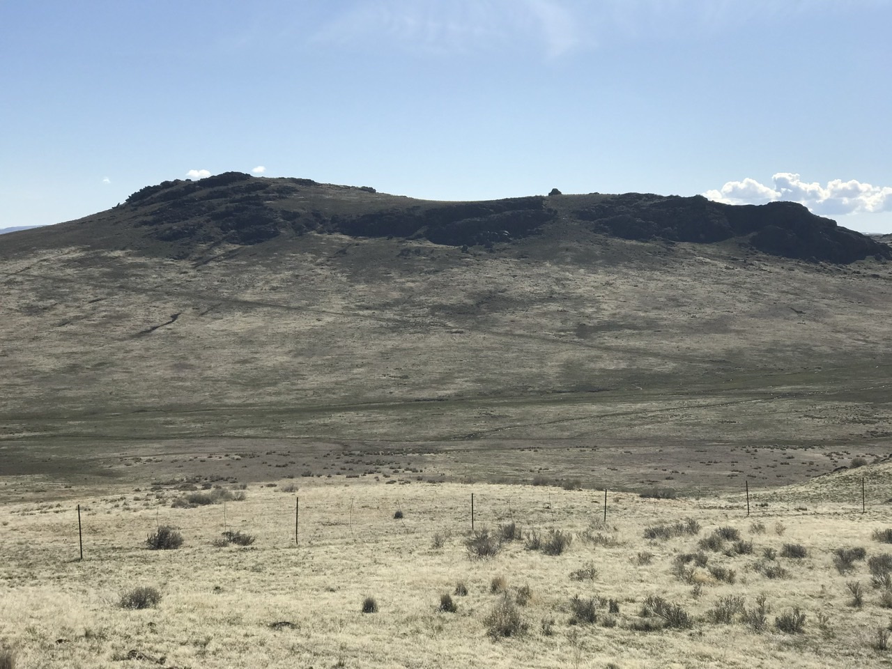
Grassy Ridge
This peak is literally a big, grassy ridge that runs north from Mahogany Mountain. The summit is an easy walk from Leslie Gulch Road. If conditions are dry and you have a 4WD, you can drive closer to the summit. My route covers 3.3 miles round-trip with 600 feet of elevation gain.
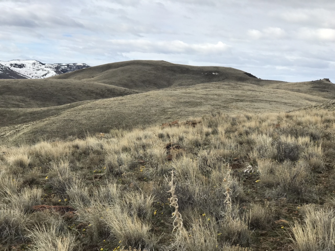
Grassy Ridge
-
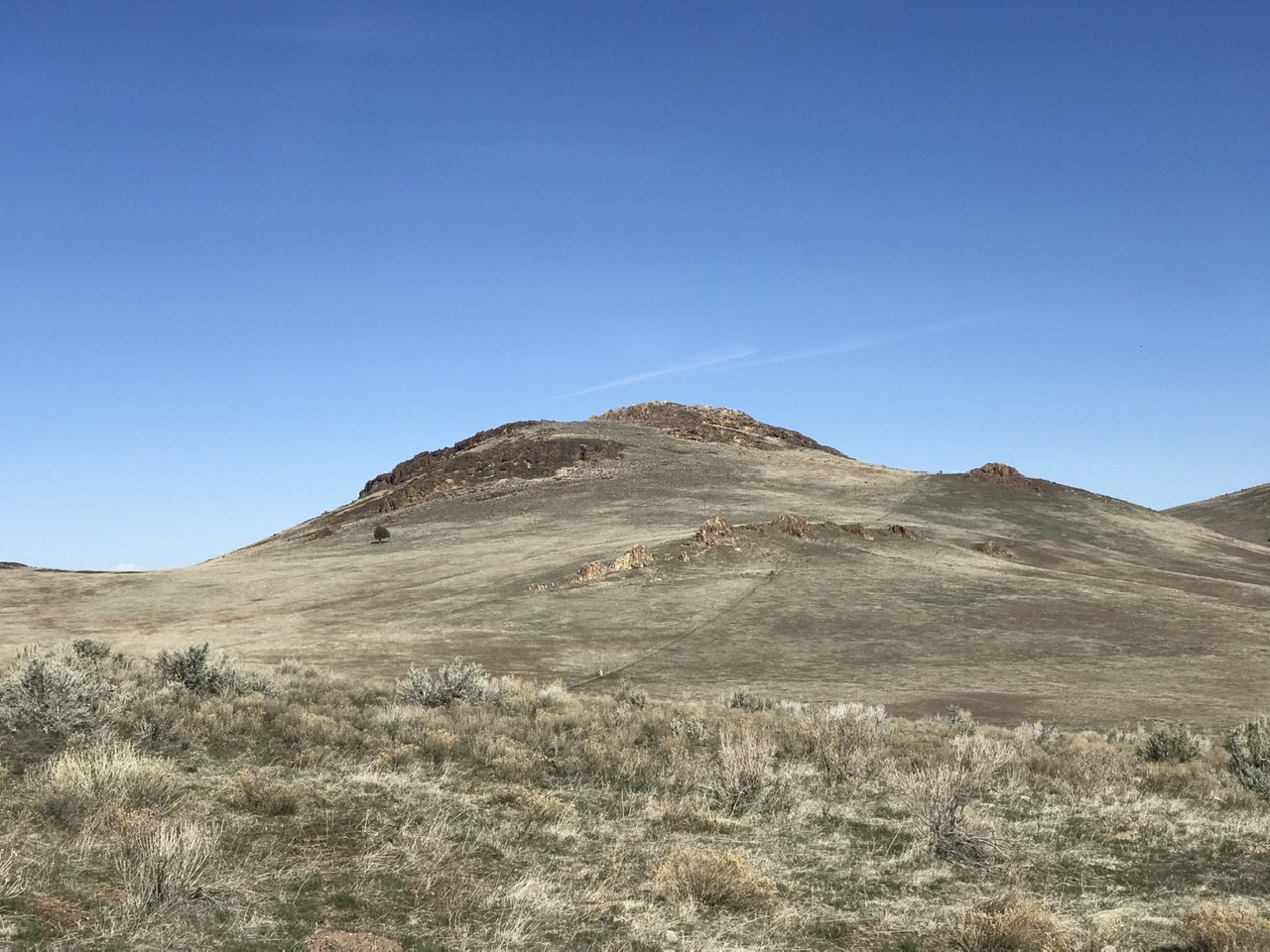
Steamboat Ridge
Steamboat Ridge runs from south to north. It is a big, broad ridge with a 4WD road traversing its south end. When the road is dry, you can drive within a short distance of the ridge’s high point.
Steamboat Ridge as viewed from the east.
The Yellow Jacket and Peak 4791
These two peaks are reached via Juniper Gulch. The Juniper Gulch Trailhead is 11.0 miles from the start of Leslie Gulch Road. This trail is an unmaintained use trail that leads to the saddle between The Yellow Jacket and Peak 4791. In places, the trail splits. Stay on the most-used path. From the saddle, both peaks are Class 3 scrambles.
Upper Juniper Gulch
Peak 4791 as viewed from The Yellow Jacket
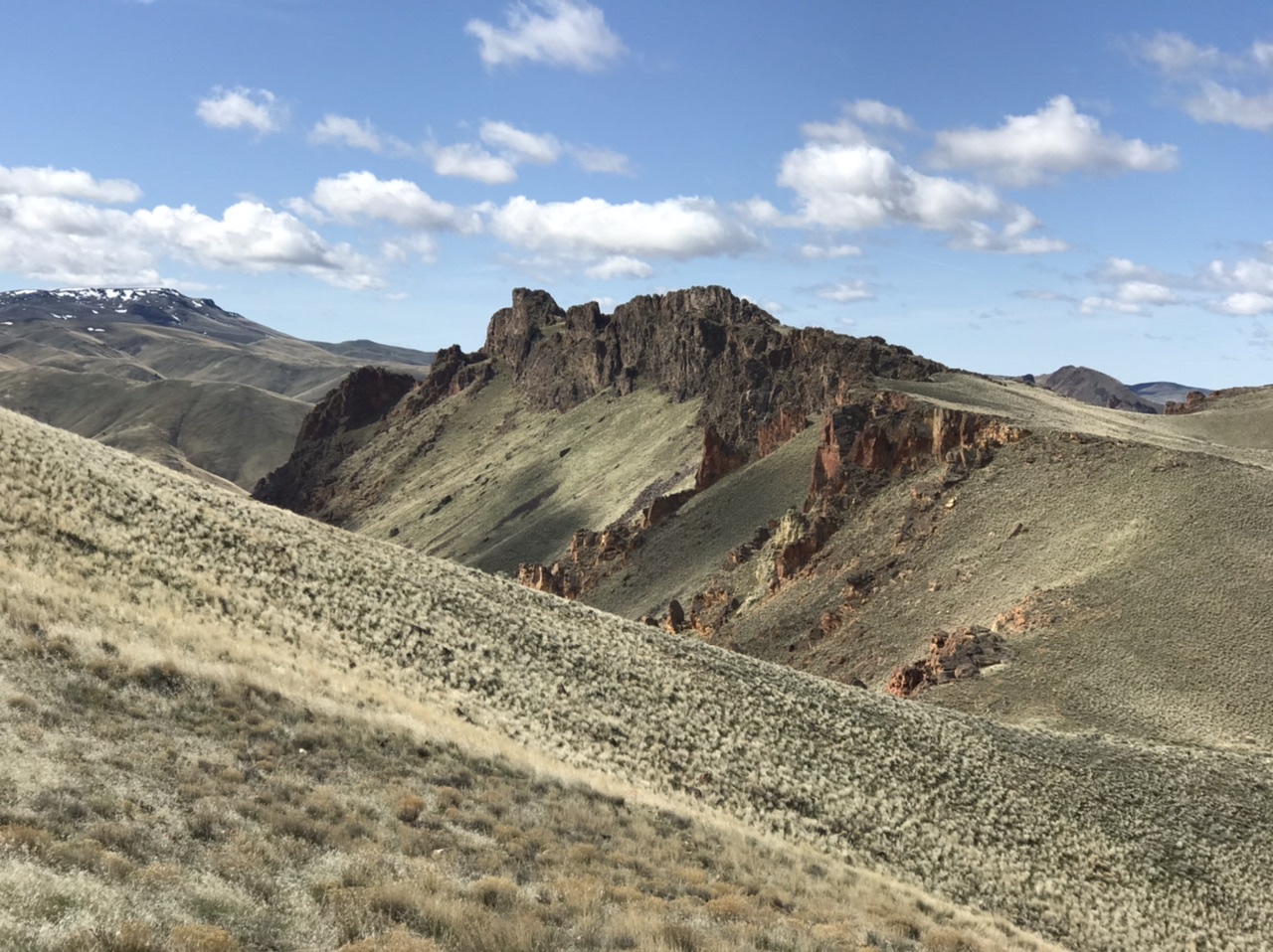
The Yellow Jacket
Additional Resources
Section Links:
- Introduction
- Northeastern Peaks
- Leslie Gulch Corridor Peaks
- Southeastern Peaks
- Western Peaks