**This article is an incomplete draft last updated May 2020. Even though the article is bare bones at this time, there is a lot of useful information for those interested in exploring this impressive country. I will continue to add to access information, photos, text and maps as time allows.
Introduction
Although the Owyhee Mountains are primarily an Idaho mountain range, the range extends into eastern Oregon. While the Oregon portion of the range seldom exceeds 5,000 feet in elevation, the Oregon terrain is spectacular with its combination of jagged peaks and deep canyons. This article focuses on climbing opportunities. 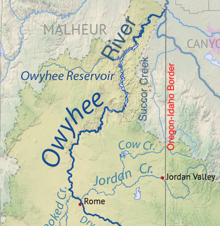
There are two main drainages that cut through these mountains. Succor Creek in Owyhee County is 97.0 miles in length. It starts near Squaw Butte in Idaho and flows south before looping west into Oregon and then running north, eventually emptying into the Snake River. In Oregon, the creek flows through the Succor Creek State Natural Area. This area is in a deep gorge and includes the Succor Creek Campground. Rock-hounds recognize this area as a prime hunting area for thundereggs which are geodes that contain crystals, agates, and other minerals.
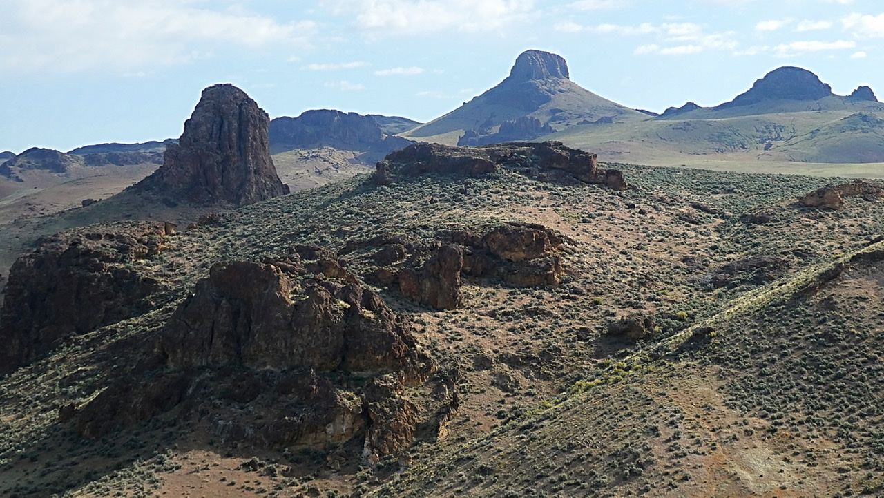
Upper Three Finger Canyon
The Owyhee River flows for 280 miles from its headwaters in northern Nevada to reach its merger with the Snake River. A significant stretch of its course cuts through the Oregon Owyhee Mountains, cutting a deep canyon which divides the range into eastern and western sections. The river enters the 52-mile long Owyhee Reservoir in its northern reaches.
Access
US-95 and OR-201 are the primary access to the eastern peaks. OR-201 and US-20 are the primary access to the western peaks.
Sections
This article breaks these mountains into five sections which are found at the following links:
- Northeastern Peaks
- Craig Gulch Corridor Peaks
- Leslie Gulch Corridor Peaks
- Southeastern Peaks
- Western Peaks
Safety
The Oregon Owyhee peaks are desert peaks. Remember above all else that this is wild, remote desert country. Be prepared for difficult and sometimes treacherous travel conditions including bad and/or impassable roads, heat, rattlesnakes and every other conceivable hazard found in desert terrain.
Take a 4WD vehicle with good all-terrain tires (6 or more ply sidewalls). Don’t depend on cell phone coverage. Buy BLM Surface Management maps to supplement topographic maps. Keep your gas tank full. Don’t expect anyone to find you if you get stuck or if your battery goes dead. Consider taking an emergency car battery as a backup. A shovel is a necessity and chains are essential in wet weather.
Resources
BLM Vale District Office, 100 Oregon Street, Vale, OR 97918
541-473-3144
BLM_OR_VL_Mail@blm.gov
The BLM’s Owyhee Canyon Country North and South maps are the best overviews for this rugged land.
Next: A Cold November Peakbagging in Nevada and Utah, 2017