Peak 7828

Peak 7828 above Crystal Lake. John Platt Photo

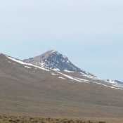
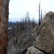
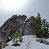
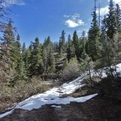
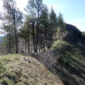
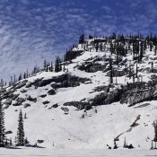
This peak is not in the book. Published June 2020 This peak is located northeast of Payette Lake. It rises up steeply above Crystal Lake. John Platt has climbed the peak via its north and south ridges. His GPS tracks are set out below. Use the links to read his trip reports. USGS Fitsum Summit Access Yellow Pine Road/FH-48 [(B)(3) … Continue reading

Taylor Mountain 8644

Taylor Mountain viewed from the Southeast. John Platt Photo

This peak is not in the book. Published May 2020 This Taylor Mountain, one of four Idaho peaks with this name, is the highest point in the Red Hills. The Red Hills are a subrange of the Lost River Range located between the Lost River Range’s crest and the Little Lost River Valley. This peak’s north face rises up abruptly … Continue reading

Peak 6906 (Phoebe Peak)

Phoebe Peak. John Platt Photo

This peak is not in the book. Published May 2020 Phoebe Peak is located southwest of Peak 6820 (Keyhole Mountain) on the massive Log Mountain/Deadwood Divide. USGS Teapot Mountain Access This peak is accessed via FST-090/Indian Ridge Trail [(C)(1.1)(b) on Page 139]. This well-maintained trail leaves the South Fork Salmon River Road at the Krassel Guard Station which is located … Continue reading

Peak 6820 (Keyhole Mountain)

The summit block. John Platt Photo

This peak is not in the book. Published May 2020 Keyhole Mountain is unofficially named after the keyhole in the peak’s summit block. Although one of the lower elevation summits on the Log Mountain -Deadwood Divide, it is a long haul to reach its summit from the deep South Fork Salmon River Canyon bottom. USGS Teapot Mountain Access This peak … Continue reading

Peak 5354

Peak 5354. John Platt Photo

This peak is not in the book. Published May 2020 This peak is located northwest of New Meadows at the far south end of the Seven Devil Mountains. Mud Creek is on its east side and the Weiser River is on its west side. USGS Railroad Saddle Access Drive west from New Meadows on US-95 for 5.3 miles. Turn right … Continue reading

Peak 4820

The summit of Peak 4820. John Platt Photo

This peak is not in the book. Published May 2020 This peak sits directly north of Pittsburgh Saddle. Its slopes offer great views of Hells Canyon. USGS Grave Point Access Primary access is via FS-493/Pittsburgh Landing Road [(A)(2) on Page 104]. Park at the saddle to climb the peak’s south ridge. South Ridge, Class 2 The south ridge is a … Continue reading