Elevation: 7,828 ft
Prominence: 448

This peak is not in the book. Published June 2020
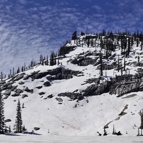
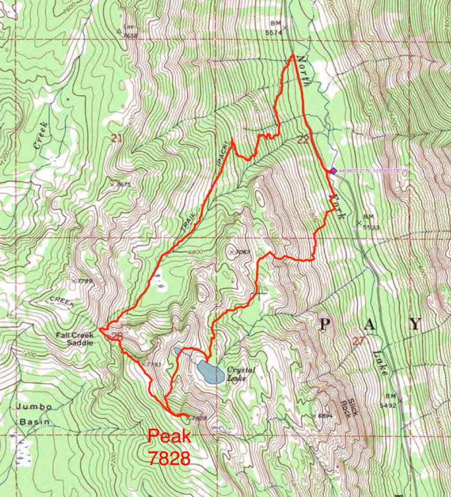
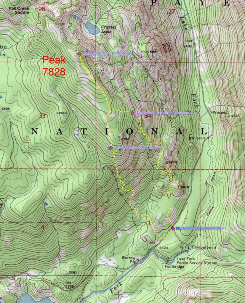
This peak is located northeast of Payette Lake. It rises up steeply above Crystal Lake. John Platt has climbed the peak via its north and south ridges. His GPS tracks are set out below. Use the links to read his trip reports. USGS Fitsum Summit
Access
Yellow Pine Road/FH-48 [(B)(3) on Page 136]. Once on the Lick Creek Road, follow it 12.0 miles to the Fall Creek Saddle trailhead and FST-108.
North Ridge, Class 2
Follow FST-108 to Fall Creek Saddle. Leave the trail and scramble up the north ridge to the summit.
Additional Resources
Mountain Range: Western Salmon River Mountains
Longitude: -115.96679 Latitude: 44.94909


