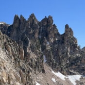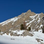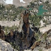
This peak is not in the book. Published April 2026 Mikes Needle is located southwest of “Perforated Pinnacle.” USGS Warbonnet Peak North Face, Class 3 Follow the ridge from Perforated Pinnacle to the north face. Climb the face with, according to Lyman Dye, no route-finding difficulties. The last 20 to 30 feet are steep. … Continue reading