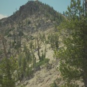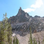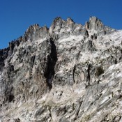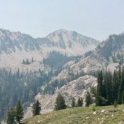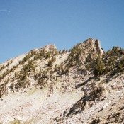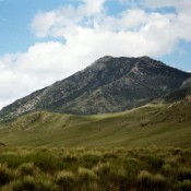
Climbing and access information for this peak is on Pages 287-288 of the book. Steve Mandella added photos and a GPS track showing the two routes set out in the book. Livingston Douglas added photos which highlight the beauty of this peak. Updated November 2024 I have climbed Hawley Mountain three times–twice under a full moon in August. It’s a … Continue reading