Elevation: 9,753 ft
Prominence: 1,093

Climbing and access information for Custer Peak is on Pages 131-132 of the book.
Custer Peak is located 5 miles east of the Bonanza Creek Guard Station and the Yankee Fork Salmon River. The summit is identified on the Challis National Forest map as Custer Lookout. The defunct lookout is available for public use on first-come basis. Custer Peak, the culmination of several ridges, stands in the heart of a small slice of de facto wilderness that is seldom visited. From the top, the expansive view includes Mount Borah and Mount McCaleb in the Lost River Range, Cabin Creek Peak and Twin Peaks in the Salmon River Range, and the Sawtooths. USGS Thompson Creek
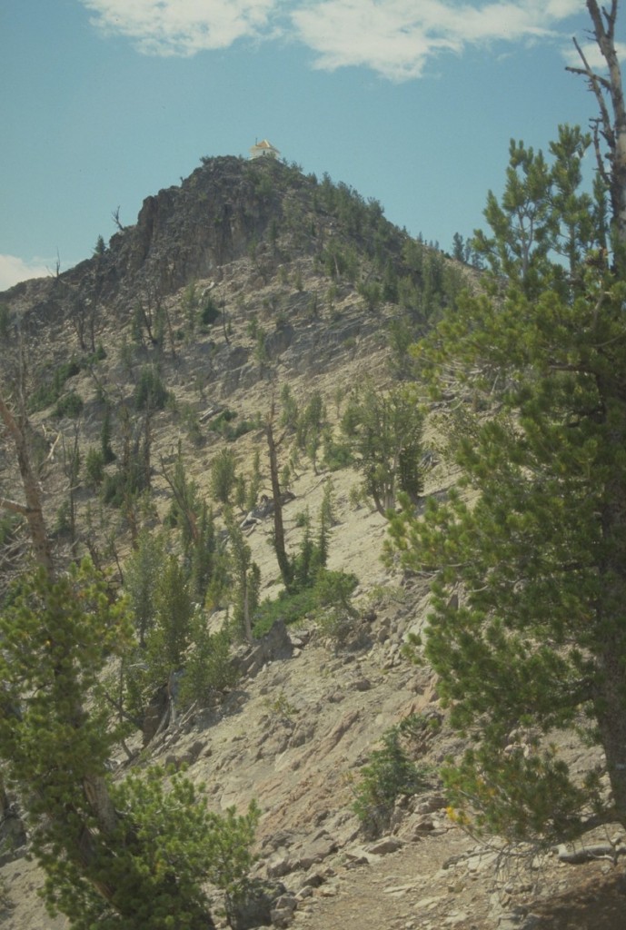
Custer Peak as viewed from the northern approach.
Trails lead to the summit from north, east, south and west. The 6-mile North Route, which uses FST-161 [(F)(3)(a) on Page 141], is recommended because of its scenic qualities.
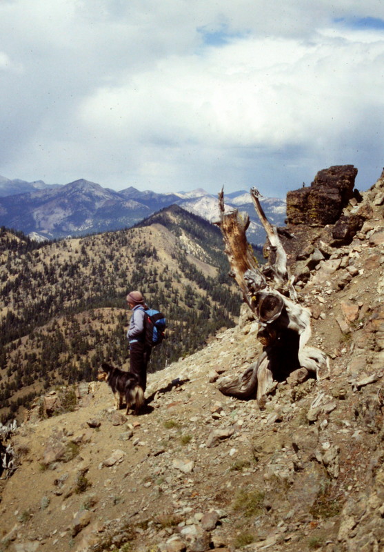
The upper slopes of Custer Peak.
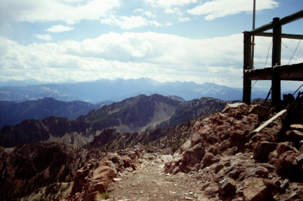
The view from the summit of Custer Peak.
Additional Resources
Regions: Eastern Salmon River Mountains->Salmon River Mountains->Southeast Corner Peaks->WESTERN IDAHO
Mountain Range: Eastern Salmon River Mountains
Year Climbed: 1989