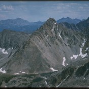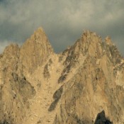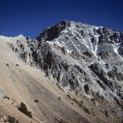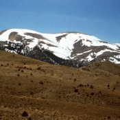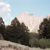
Climbing and access information for this peak is on Pages 320-322 of the book. On this page, you will find a photo essay covering the East Face/Ridge Route (aka East Face/Southeast Ridge) covered in the book which is on my list of favorite peaks. Additional coverage by Livingston Douglas for the route or a variation of the route in the … Continue reading