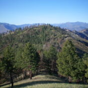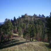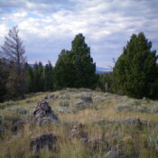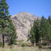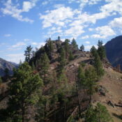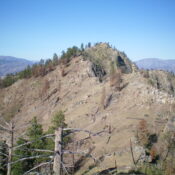
This peak is not in the book. Published November 2023 Panther Benchmark is the lowest, and farthest southwest, of three ranked summits on a high ridge that separates the Salmon River from Hot Springs Creek. It is most easily approached from FSR-060/Hot Springs Creek Road which was recently regraded extensively. USGS Pine Creek Rapids Access Same as for Peak 6667. … Continue reading