Elevation: 7,227 ft
Prominence: 287
This peak is not in the book. Published November 2023
Leacock Point is the high point on a north-south ridge that separates Quartz Gulch from Panther Creek. It is seldom climbed. Leacock Point is most easily accessed from Panther Creek Road to its east. USGS Jureano Mountain
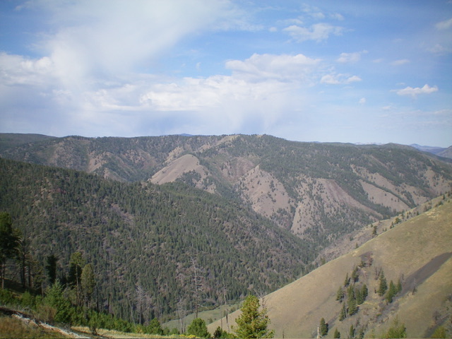
Leacock Point is the high ridge in the distance as viewed from the east. Livingston Douglas Photo
Access
From US-93 at North Fork, drive 26 miles west on FSR-030/Salmon River Road to a signed junction with FSR-055/Panther Creek Road. Drive 15.2 miles south on Panther Creek Road to a signed junction with FSR-101/Deep Creek Road. Continue for another 0.1 miles south on Panther Creek Road to the [signed] Deep Creek Campground. Park at the first campsite on the left/west side of the campground (4,915 feet; 45⁰07’31”N, 114⁰13’00”W).
East Shoulder, Class 2
The Climb
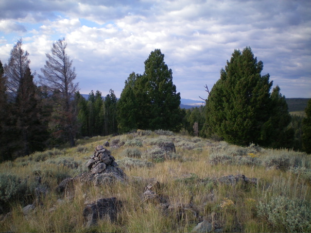
From the campsite, scramble west up a steep, grassy slope that soon becomes a shoulder. The terrain is easy, short field grass. The shoulder leads up to a forested ridge that heads left-ish/southwest. Follow the ridge southwest in an easy, open pine forest to quickly reach another ridge bend. Head right/west here and follow the ridge as it wiggles a bit but goes directly to the summit of Leacock Point. The final push to the summit is in open grass alongside the edge of the forest. The summit has a gold USGS benchmark and a few summit boulders. I built a cairn atop the highest boulder. There are two other USGS benchmarks nearby. The summit is in an open, grassy area with the forest nearby.
The summit of Leacock Point. Livingston Douglas Photo
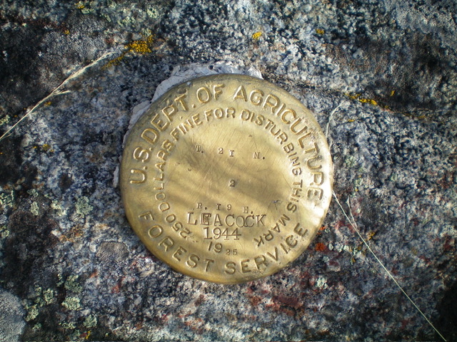
The USGS benchmark atop Leacock Point. Livingston Douglas Photo
Additional Resources
Mountain Range: Eastern Salmon River Mountains
Longitude: -114.2394 Latitude: 45.1253