Elevation: 4,618 ft
Prominence: 438
This peak is not in the book. Published November 2023
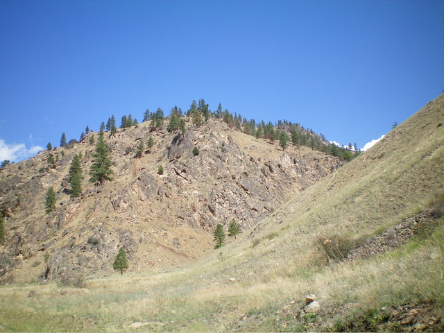
Peak 4618 sits above the confluence of Panther Creek and the Salmon River in the Eastern Salmon River Mountains. It is most easily climbed from Pretty Gulch on its south side. USGS Bighorn Crags
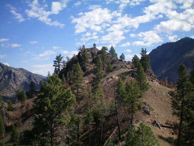
Peak 4618 as viewed from Panther Creek Road to its south. The summit hump is right of center. Livingston Douglas Photo
Access
From US-93 at North Fork, drive 26 miles west on FSR-030/Salmon River Road to a signed junction with FSR-055/Panther Creek Road. Drive south on Panther Creek Road for 0.7 miles to the Garden Creek Trailhead. Park at this trailhead (3,295 feet; 45⁰18’26”N, 114⁰23’39”W).
South Ridge, Class 3
The Climb
From the trailhead parking area, walk a short distance southeast on Panther Creek Road to the mouth of Pretty Gulch and the toe of the steep, rocky south ridge which is left/west of Pretty Gulch. Leave the road and bushwhack across a short patch of scrub then climb steeply north up the ridge in a mix of grass, loose gravel/sand, boulders, rocky ridge outcrops, and a few pines. Reach a large ridge buttress/block early on. Move to its right/east side to scramble up boulders and chutes to regain the ridge crest (Class 3).
Continue up steep, but easier, boulders and sand to reach more rocky ridge outcrops higher up in steeper terrain. Skirt the right/east side of the rocky southwest summit. From there, scramble northeast along a rocky, bumpy ridge section, dropping 65 feet to a gentle saddle. Scramble northeast to the rocky summit hump. Stay on the right/south side to climb gravel/sand chutes and ground boulders to reach the rocky top. Stand atop two large boulders of similar height to claim victory. There were no signs of previous ascent and there is no summit cairn.
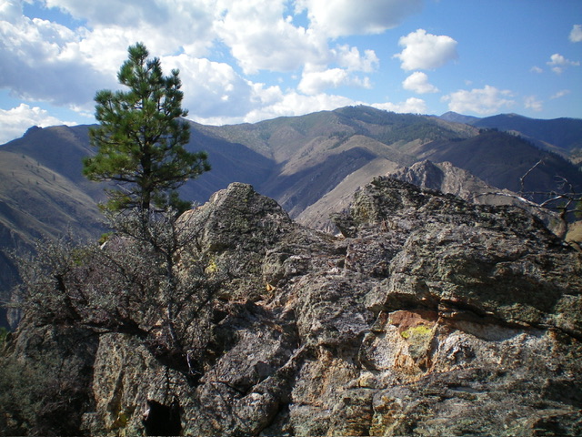
The rocky summit hump of Peak 4618 as viewed from the southwest on the high summit ridge. Livingston Douglas Photo
The summit boulders atop Peak 4618. Livingston Douglas Photo
Southeast Face, Class 2+
The Descent
From the summit, return to the final ridge saddle then descend diagonally left/south down a series of grassy shoulders with scattered pines. There are no boulders here but there are some areas of loose scree/sand to boot-ski down. The final drop to Pretty Gulch is surprisingly steep and rocky. This section must be taken slowly and carefully. Downclimb loose, steep ribs/gullies on unstable talus/scree and dirt. Once in Pretty Gulch, follow a cattle trail on its left/east side to return southwest to Panther Creek Road and the Garden Creek Trailhead.
Additional Resources
Mountain Range: Eastern Salmon River Mountains
Longitude: -114.3893 Latitude: 45.3151