Elevation: 6,514 ft
Prominence: 334
This peak is not in the book. Published November 2023
Peak 6514 is the middle of three ranked summits on a high ridge that separates the Salmon River from Hot Springs Creek. It is most easily approached from FSR-060/Hot Springs Creek Road which was recently regraded extensively. USGS Pine Creek Rapids
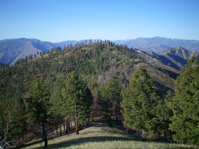
Peak 6514 as viewed from the northeast. Livingston Douglas Photo
Access
Same as for Peak 6667. This is the second leg of a 3-peak adventure that includes Peak 6667, Peak 6514, and Panther Benchmark (6,443 feet). It covers 8.3 miles with 3,750 feet of elevation gain round trip.
Map Errors
The “pack trail” on the high ridge crest (shown on the USGS topo map) is completely gone. The Forest Service Trail from the Hot Springs to the summit of Panther Benchmark (shown on the Salmon National Forest Map) is mostly gone. FSR-060 was recently completely regraded and is in much better shape than the USGS topo map and the Salmon National Forest Map indicate.
North Ridge, Class 2
The Climb
From the 6,180-foot connecting saddle with Peak 6667, scramble south up an easy ridge of grass/scrub with scattered pines to reach the small, open summit of Peak 6514. There was no summit cairn so I built a small one with the few loose rocks that I could find.

The summit hump of Peak 6514 as viewed from the southwest. Livingston Douglas Photo

The summit of Peak 6514. Livingston Douglas Photo
Southwest Ridge, Class 2
The Descent
From the summit, follow the tedious, undulating ridge crest southwest as it wiggles a bit and encounters rockier ridge points and a narrower ridge crest. Skirt a few ridge blocks relatively easily but deal with endless ups and downs. Reach Point 6258and descend almost 200 vertical feet west through an easy, semi-open pine forest to reach the lowest ridge saddle at 6,080 feet. This is the connecting saddle with Panther Benchmark. It concludes the second leg of today’s 3-peak adventure. Panther Benchmark (6,443 feet) is up next.
Additional Resources
Mountain Range: Eastern Salmon River Mountains
Longitude: -114.3222 Latitude: 45.3283