Castle Butte by Livingston Douglas

This butte is not in the book. Published October 2025 Castle Butte is a magnificent piece of rock that towers over the nearby Snake River. It has four unique, rocky summits of similar height. Most of Castle Butte is within the Snake River Birds of Prey BLM land but there are sections of private land nearby, so be careful. USGS … Continue reading

Little Joe Butte by Livingston Douglas

This butte is not in the book. Published October 2025 Little Joe Butte is a rocky outcrop that is located in the Snake River Birds of Prey Area but is within the Idaho National Guard Training and Maneuver Area. It is a drive-up but requires permission from the National Guard Commander to access it. USGS Little Joe Butte Access From … Continue reading

Dorsey Butte by Livingston Douglas

This butte is not in the book. Published October 2025 Dorsey Butte is a rocky outcrop that is located atop a plateau on the east side of the Snake River west-southwest of Mountain Home. It sits on public land (Snake River Birds of Prey Area) in Elmore County and is easily accessible via a series of BLM 2-track roads. USGS … Continue reading

Sailor Cap Butte by Livingston Douglas

This butte is not in the book. Published October 2025 Sailor Cap Butte is aptly named. It looks like a sailor’s cap. It is a short, easy scramble from a nearby, well-maintained BLM road. USGS Black Butte West Access From ID-78 at virtual MM93.1, turn south onto [signed] Browns Creek Road. Follow this county road south then east, where it … Continue reading

Carey Kipuka by Livingston Douglas

This formation is not in the book. “ A kīpuka is an area of land that is surrounded by younger lava flows, in effect an “island” within a sea of lava. Literally translated, the Hawaiian word signifies a variation, or change of form. It is one of the few Hawaiian words, like pāhoehoe and ʻa‘ā, to be adopted into the … Continue reading

Big Hill by Livingston Douglas

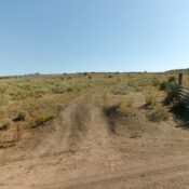
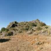
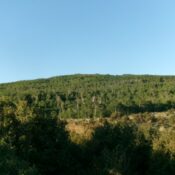
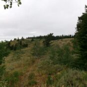
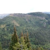
This peak is not in the book. Published October 2025 Big Hill is located due east of ID-51. It is easily approached via a primitive 2-track road that heads from a highway gravel pit eastward to the southwest side of the hill. USGS Table Butte Access Turn off ID-51 at a gravel pit at about 42°37’20”N and 115°54’27”W. Drive through … Continue reading