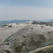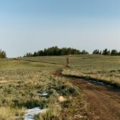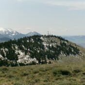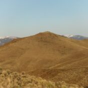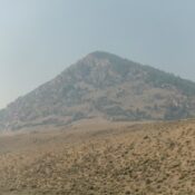
This peak is not in the book. Published October 2025 Peak 7630 is a rocky peak that sits above Grouse Creek in the foothills of the northern Pahsimeroi Mountains. It is most easily climbed from nearby Grouse Creek Road. The drive to Peak 7630 may be your greatest challenge. USGS Meadow Peak Access From US-93 just southwest of Ellis, turn … Continue reading