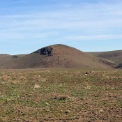
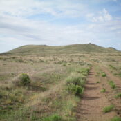
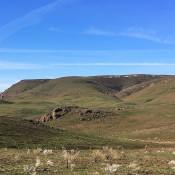
Red Mountain by Livingston Douglas

This peak is not in the book. I included Rick Baugher’s trip report at the end of the page.  Red Mountain is the highest of the Gannett Hills. It is also a relatively short distance from Crow Creek Road to its west. The bushwhack directly east to the summit is not pleasant, particularly the [almost] 300-foot descent to cross Beaver … Continue reading

Hawks Peak

Climbing and access information for this peak is on Page 368 of the book. I have updated the book entry with three routes, the North Ridge, the South Ridge by Livingston Douglas and the Southwest Spur by Rick Baugher. These updates replace the information found in the book. Updated July 2022 This impressive peak is the high point of Dry … Continue reading

Sheep Creek Hills HP

This peak is not in the book. There are two routes below. The first by Rick Baugher and the second by Livingston Douglas which is the more difficult of the two. Updated November 2019 The Sheep Creek Hills HP is located due east of Montpelier. There is an electronics installation on the summit. USGS Montpelier Canyon Southeast Slopes, Class 2 … Continue reading

Peak 7916 (Schmidhorn)

This peak is not in the book. Schmidhorn is the highest point on the Schmid Ridge portion of the Peale Mountains. USGS Harrington Peak. Rick Baugher’s trip report is as follows: On 5/4/14, I drove south going up Slug Creek Road. Parked just past beaver ponds. From 6,640 feet, hiked cross-country up the Southwest Slope of brush. Scampered through a … Continue reading

PEALE MOUNTAINS

The Peale Mountains are associated with the Basin and Range faulting and the over thrust belt. The block faulting is not as pronounced as ranges farther west. Meade Peak is the range high point at 9,957 feet. There are a lot of great peaks in this mountain group. Check out Hawks Peak and Mount Mansfield for starters. The range receives … Continue reading

Peak 3668

This peak is not in the book. Updated January 2020 Peak 3668 is located at the confluence of the South Fork and North Fork Payette River near Banks, Idaho. It is the southwestern point of the Salmon River Mountains and the North Fork Range. USGS Banks Access The Banks/Lowman Highway at its junction with of ID-55. Park in a pullout on the … Continue reading