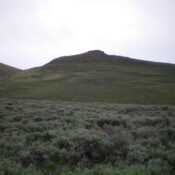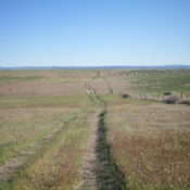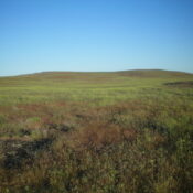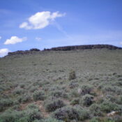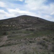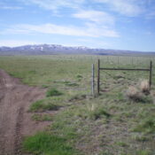
This peak is not in the book. Published November 2022 Mud Flat Hill is located at the crest of the Rogerson-Jarbidge Highway. It is on a ridgeline south of the highway. USGS Curtis Draw Access From Rogerson, ID, drive 29.9 miles west then southwest on the Rogerson-Jarbidge Highway to a crest in the road. Park in a pullout area here … Continue reading